Fish Passage Site 20601551
Coordinates (dec. deg.): 61.05428°, -151.51000°
Legal Description: S011N013W12
Region: South Central
Road Name:
Datum: NAD83
Quad Name / ITM: Tyonek A-5
AWC Stream #:
Stream Name: Unnamed
Elevation:
Site Comments: None
arrow to the right of the survey date below to choose a different report for this site.
Survey TYCS1-TY025
Observers: Cecil Rich, Michael Anderson, Joe Buckwalter
Overall Fish Passage Rating:
Tidal: No
Backwatered: No
Step Pools:
Construction Year:
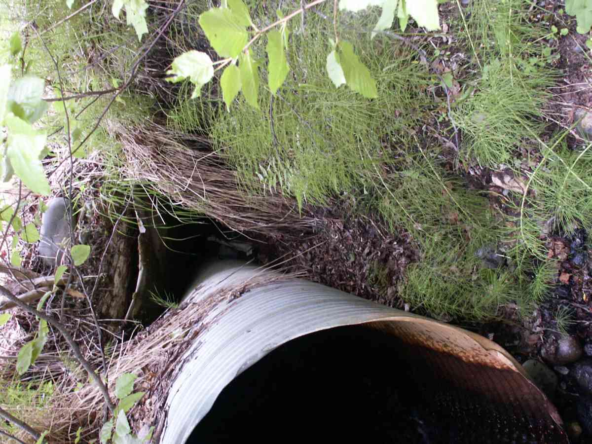
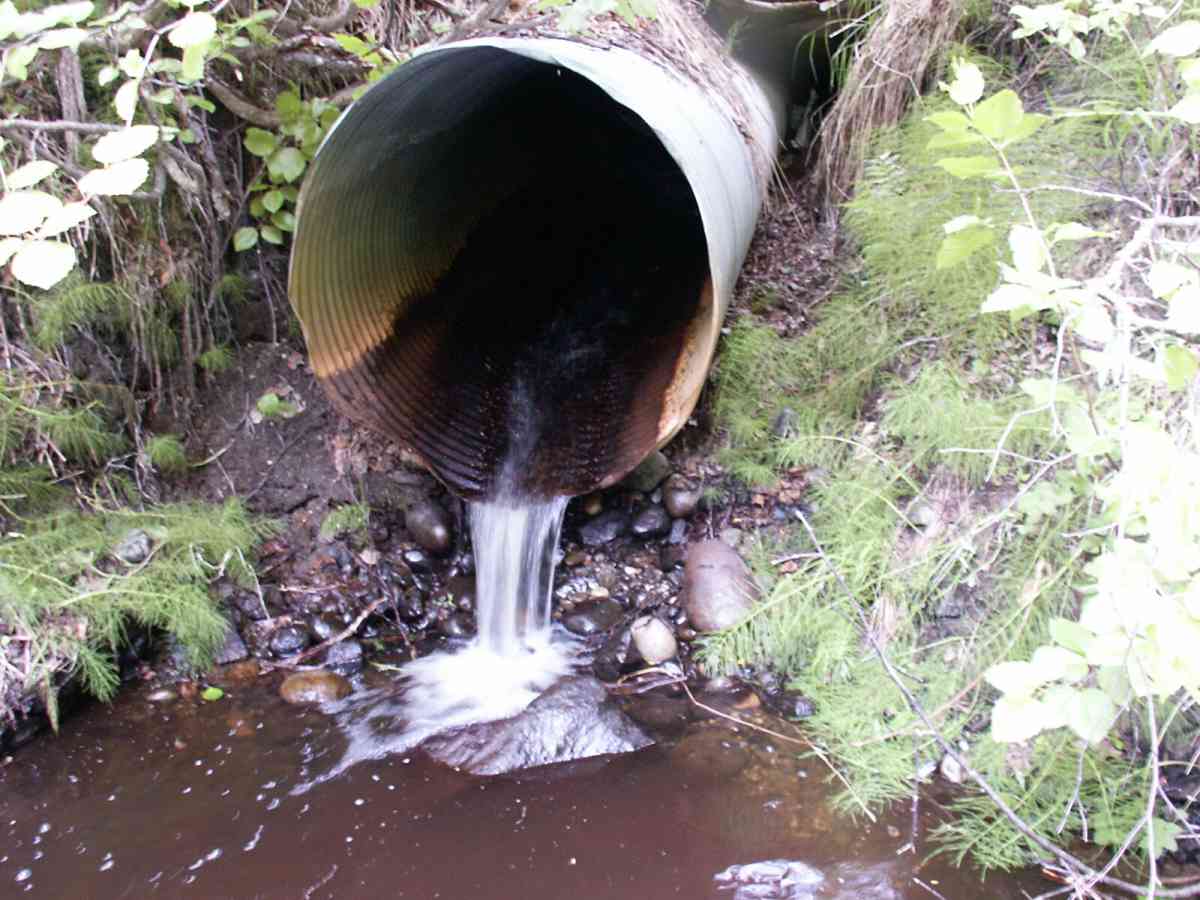
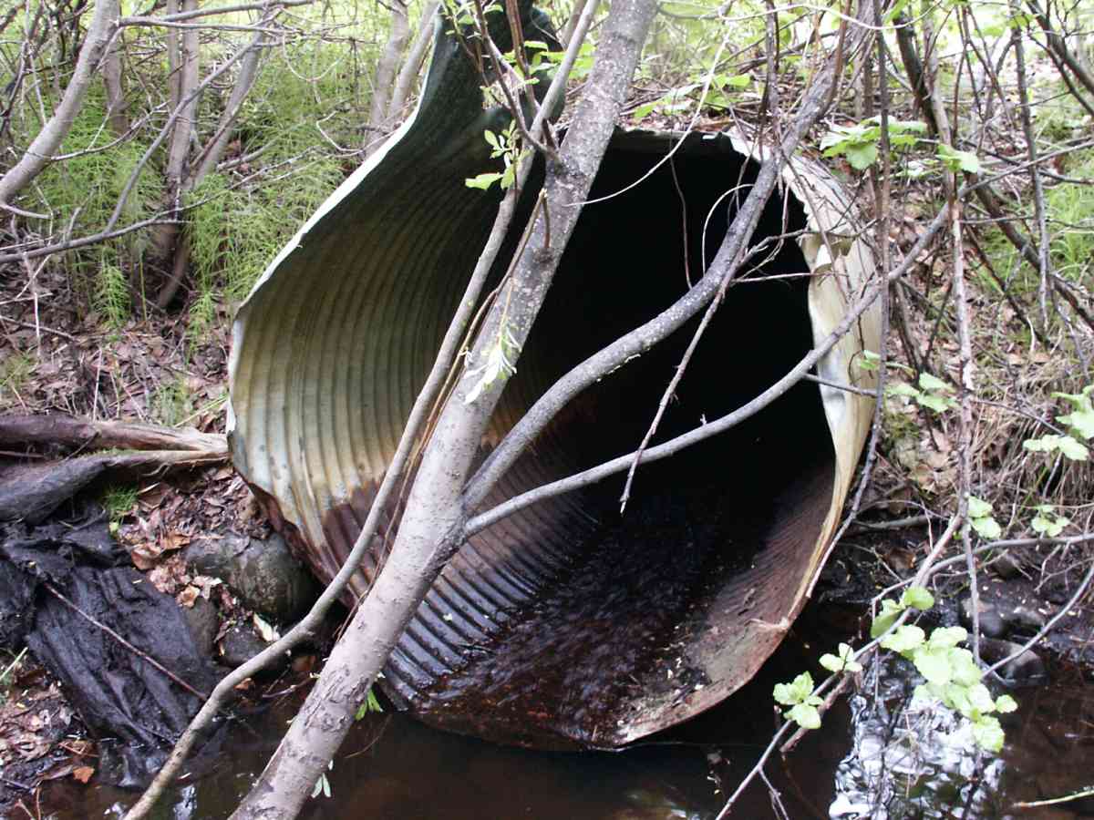
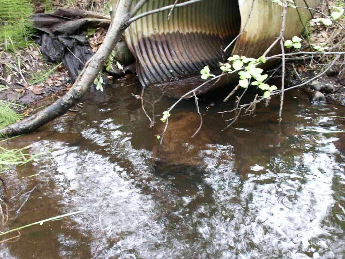
Comments: Datum = WGS84. gps accuracy = 18.1 feet. Culvert collapsed in middle (due to shallow road fill on top). Joints parting at ends of 5-foot middle section. Balls got stuck - no barrel velocity collected.
Culvert Measurements
| ID: 1 | Structure Type: Circular pipe (Corrugated Metal) | Fish Passage Rating: | |||||||||||||||||||||||||||||||||||||||||
|
|
|
|||||||||||||||||||||||||||||||||||||||||
Culvert Observations:
|
|||||||||||||||||||||||||||||||||||||||||||
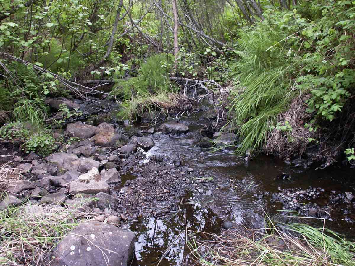
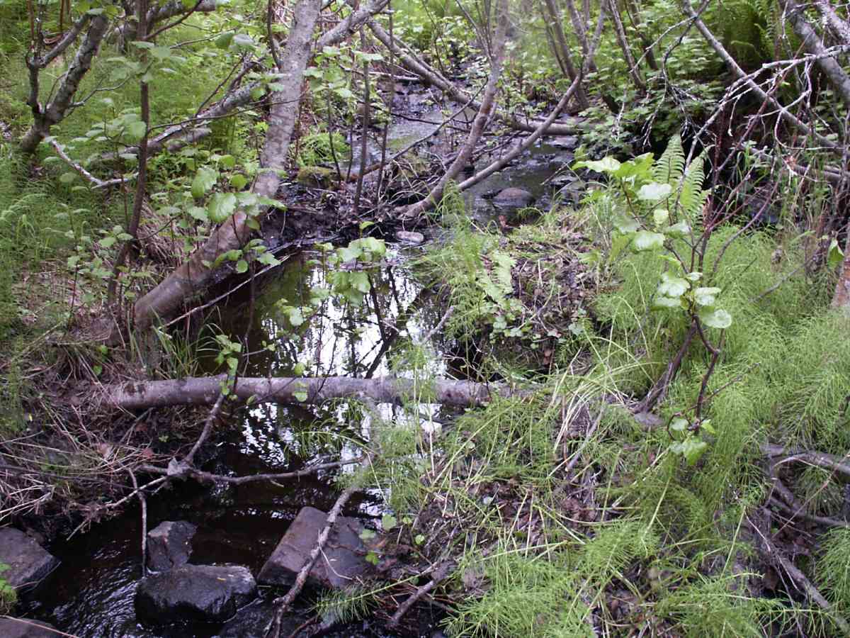
Stream Measurements
|
|
| Stream Width Type | Distance From Crossing (ft) |
Stream Width (ft) |
|---|---|---|
| Downstream ordinary high water | 12.0 | 18.50 |
| Downstream ordinary high water | 64.0 | 7.80 |
| Downstream ordinary high water | 130.0 | 6.00 |
| Upstream ordinary high water | 5.0 | 11.60 |
| Upstream ordinary high water | 55.0 | 6.00 |
| Upstream ordinary high water | 86.0 | 6.30 |
Elevations
| Locator ID | Culvert Number |
River Distance (ft)1 |
Distance From Crossing (ft)2 |
Relative Elevation (ft) |
|---|---|---|---|---|
| D/S Tailcrest or 1st Thalweg | 96.41 | |||
| D/S Thalweg | 0.00 | 130.0 | 91.88 | |
| D/S Water Surface Elev | 0.00 | 130.0 | 91.93 | |
| D/S OHW Elev | 0.00 | 130.0 | 92.59 | |
| D/S Thalweg | 66.00 | 64.0 | 94.90 | |
| D/S Water Surface Elev | 66.00 | 64.0 | 95.06 | |
| D/S OHW Elev | 66.00 | 64.0 | 95.54 | |
| D/S Thalweg | 124.20 | 5.8 | 94.94 | |
| Max Pool Depth | 1 | 125.00 | 5.0 | 95.10 |
| OHW Left Bank | 125.00 | 5.0 | 96.58 | |
| OHW Left Bank | 125.00 | 5.0 | 97.00 | |
| Outlet Invert | 1 | 130.00 | 0.0 | 97.69 |
| Outlet Rustline Height | 1 | 130.00 | 0.0 | 99.04 |
| Outlet Culvert Top | 1 | 130.00 | 0.0 | 101.96 |
| Outlet Thalweg | 1 | 130.00 | 0.0 | 96.63 |
| Road Elev | 150.00 | 106.86 | ||
| Road Elev | 150.00 | 107.14 | ||
| Inlet Rustline Height | 1 | 170.00 | 0.0 | 104.21 |
| Inlet Thalweg | 1 | 170.00 | 0.0 | 102.30 |
| Inlet Culvert Invert | 1 | 170.00 | 0.0 | 103.07 |
| U/S Thalweg | 1 | 171.00 | 1.0 | 102.10 |
| U/S OHW elevation | 1 | 171.00 | 1.0 | 103.93 |
| U/S Thalweg | 1 | 175.00 | 5.0 | 102.20 |
| U/S Water Surface Elev | 1 | 175.00 | 5.0 | 103.20 |
| U/S Thalweg | 1 | 178.04 | 8.04 | 101.98 |
| U/S Thalweg | 225.00 | 55.0 | 105.33 | |
| U/S Water Surface Elev | 225.00 | 55.0 | 105.38 | |
| U/S Headwater | 225.00 | 55.0 | 105.92 | |
| U/S Thalweg | 256.00 | 86.0 | 107.10 | |
| U/S Water Surface Elev | 256.00 | 86.0 | 107.13 | |
| U/S Headwater | 256.00 | 86.0 | 107.52 |
Notes:
- River distance is measured continuously throughout the survey reach along the thalweg of the stream.
- Measured from each end of the crossing along the thalweg of the stream.
Fish Sampling Efforts
| Gear Type: Minnow Trap, 1/4 in. Mesh (A) | Trap Duration(h): 2 | |
| Gear Type: Minnow Trap, 1/4 in. Mesh (B) | Trap Duration(h): 1 | |
Fish Observations
| Species: juvenile Dolly Varden | Life History: Resident | ||
| Total Fish Observed: 30 | Fish Measured: 12 | Fork Lengths (mm) Min: 95 Max: 161 Mean: 116 | |
| Collected/Observed by Gear Type: Downstream Minnow Trap, 1/4 in. Mesh (26) Upstream Minnow Trap, 1/4 in. Mesh (4) | |||
Photos
Questions or comments about this report can be directed to dfg.dsf.webmaster@alaska.gov