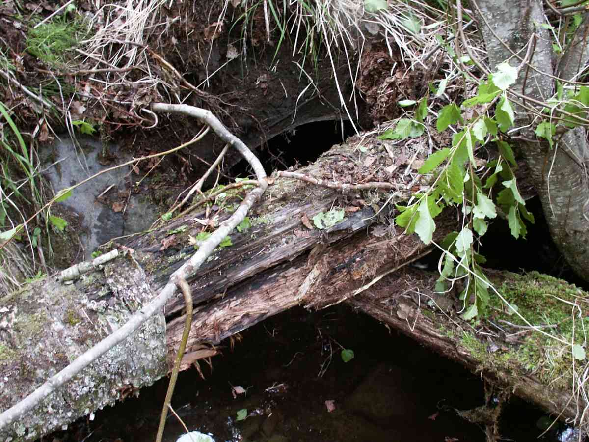
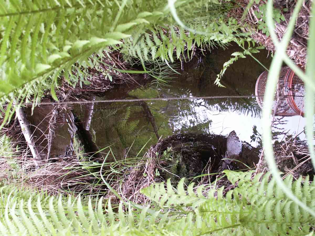
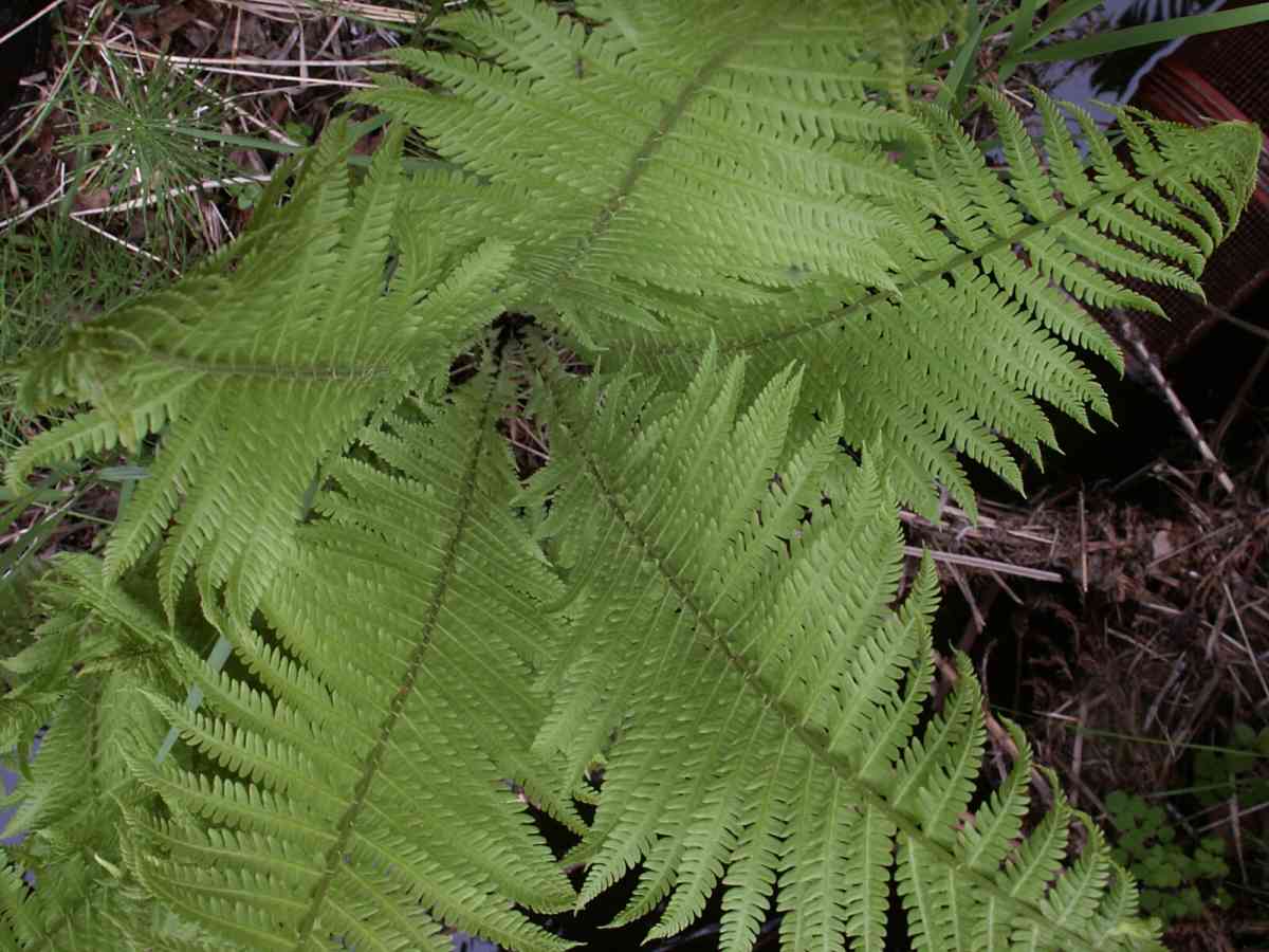
Fish Passage Site 20601547
Coordinates (dec. deg.): 61.08033°, -151.57807°
Legal Description: S012N013W34
Region: South Central
Road Name:
Datum: NAD83
Quad Name / ITM: Tyonek A-5
AWC Stream #:
Stream Name: Unnamed
Elevation:
Site Comments: None
Survey TYCS1-TY021
Observers: Cecil Rich, Michael Anderson, Joe Buckwalter
Overall Fish Passage Rating:
Tidal: No
Backwatered: No
Step Pools:
Construction Year:
Comments: Datum = WGS84. GPS accuracy 17.5 ft.
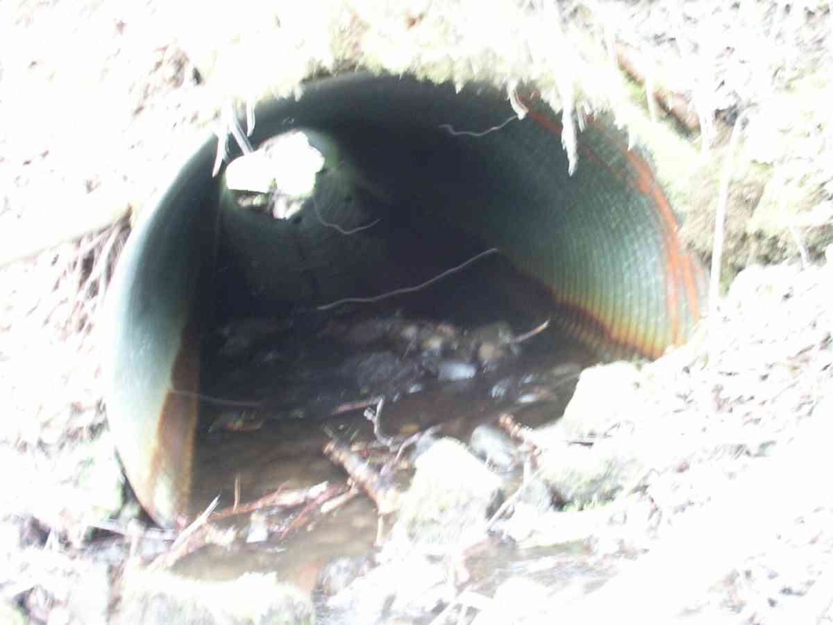
Culvert Measurements
| ID: 1 | Structure Type: Circular pipe (Corrugated Metal) | Fish Passage Rating: | |||||||||||||||||||||||||||||||||||||||||
|
|
|
|||||||||||||||||||||||||||||||||||||||||
Stream Measurements
|
|
| Stream Width Type | Distance From Crossing (ft) |
Stream Width (ft) |
|---|---|---|
| Downstream ordinary high water | 21.0 | 4.00 |
| Downstream ordinary high water | 68.0 | 4.00 |
| Upstream ordinary high water | 5.0 | 4.20 |
| Upstream ordinary high water | 24.0 | 5.30 |
| Upstream ordinary high water | 63.0 | 4.30 |
Elevations
| Locator ID | Culvert Number |
River Distance (ft)1 |
Distance From Crossing (ft)2 |
Relative Elevation (ft) |
|---|---|---|---|---|
| D/S Tailcrest or 1st Thalweg | 95.27 | |||
| D/S Thalweg | 0.00 | 68.0 | 92.29 | |
| D/S Water Surface Elev | 0.00 | 68.0 | 92.40 | |
| D/S OHW Elev | 0.00 | 68.0 | 92.85 | |
| D/S Thalweg | 47.00 | 21.0 | 94.65 | |
| D/S Water Surface Elev | 47.00 | 21.0 | 94.78 | |
| D/S OHW Elev | 47.00 | 21.0 | 95.06 | |
| OHW Left Bank | 63.00 | 5.0 | 95.44 | |
| OHW Left Bank | 63.00 | 5.0 | 95.70 | |
| D/S Thalweg | 65.00 | 3.0 | 94.96 | |
| Max Pool Depth | 1 | 65.00 | 3.0 | 94.96 |
| Outlet Thalweg | 1 | 68.00 | 0.0 | 95.16 |
| Outlet Rustline Height | 1 | 68.00 | 0.0 | 95.68 |
| Outlet Culvert Top | 1 | 68.00 | 0.0 | 97.32 |
| Road Elev | 88.00 | 105.82 | ||
| Road Elev | 88.00 | 105.92 | ||
| Inlet Rustline Height | 1 | 108.00 | 0.0 | 96.11 |
| Inlet Culvert Top | 1 | 108.00 | 0.0 | 98.62 |
| Inlet Thalweg | 1 | 108.00 | 0.0 | 95.67 |
| U/S Thalweg | 1 | 109.00 | 1.0 | 95.48 |
| U/S OHW elevation | 1 | 109.00 | 1.0 | 96.31 |
| U/S Thalweg | 1 | 113.00 | 5.0 | 95.83 |
| U/S Water Surface Elev | 1 | 113.00 | 5.0 | 96.07 |
| U/S Thalweg | 1 | 116.30 | 8.3 | 96.23 |
| U/S Thalweg | 132.00 | 24.0 | 97.36 | |
| U/S Water Surface Elev | 132.00 | 24.0 | 97.54 | |
| U/S Headwater | 132.00 | 24.0 | 97.84 | |
| U/S Thalweg | 171.00 | 63.0 | 100.14 | |
| U/S Water Surface Elev | 171.00 | 63.0 | 100.30 | |
| U/S Headwater | 171.00 | 63.0 | 100.65 |
Notes:
- River distance is measured continuously throughout the survey reach along the thalweg of the stream.
- Measured from each end of the crossing along the thalweg of the stream.
Fish Sampling Efforts
| Gear Type: Minnow Trap, 1/4 in. Mesh (A) | Trap Duration(h): 2 | |
| Gear Type: Minnow Trap, 1/4 in. Mesh (B) | Trap Duration(h): 2 | |
Fish Observations
| Species: juvenile/adult Dolly Varden | Life History: Resident | ||
| Total Fish Observed: 4 | Fish Measured: 2 | Fork Lengths (mm) Min: 115 Max: 118 Mean: 116 | |
| Collected/Observed by Gear Type: Upstream Minnow Trap, 1/4 in. Mesh (4) | |||
| Species: juvenile coho salmon | Life History: Anadromous | ||
| Total Fish Observed: 50 | Fish Measured: 20 | Fork Lengths (mm) Min: 50 Max: 70 Mean: 57 | |
| Collected/Observed by Gear Type: Downstream Minnow Trap, 1/4 in. Mesh (28) Upstream Minnow Trap, 1/4 in. Mesh (22) | |||
| Species: juvenile/adult sculpin-unspecified | Life History: Resident | ||
| Total Fish Observed: 1 | Fish Measured: | Fork Lengths (mm) Min: Max: Mean: | |
| Collected/Observed by Gear Type: Upstream Minnow Trap, 1/4 in. Mesh (1) | |||
| Species: sculpin-unspecified | Life History: Resident | ||
| Total Fish Observed: 4 | Fish Measured: 2 | Fork Lengths (mm) Min: 45 Max: 55 Mean: 50 | |
| Collected/Observed by Gear Type: Downstream Minnow Trap, 1/4 in. Mesh (4) | |||
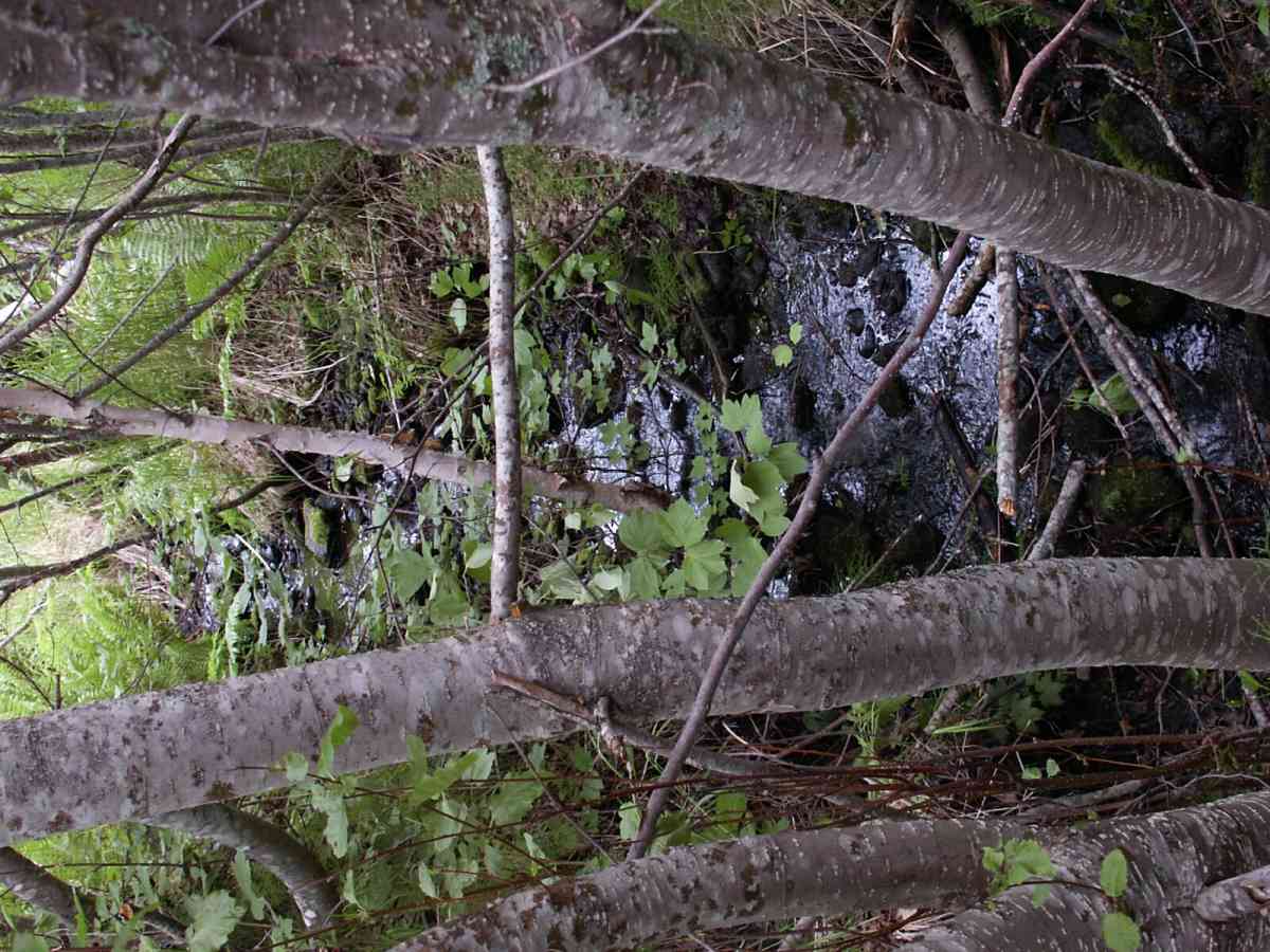
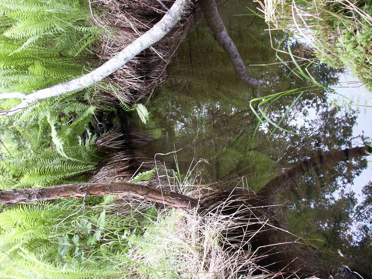
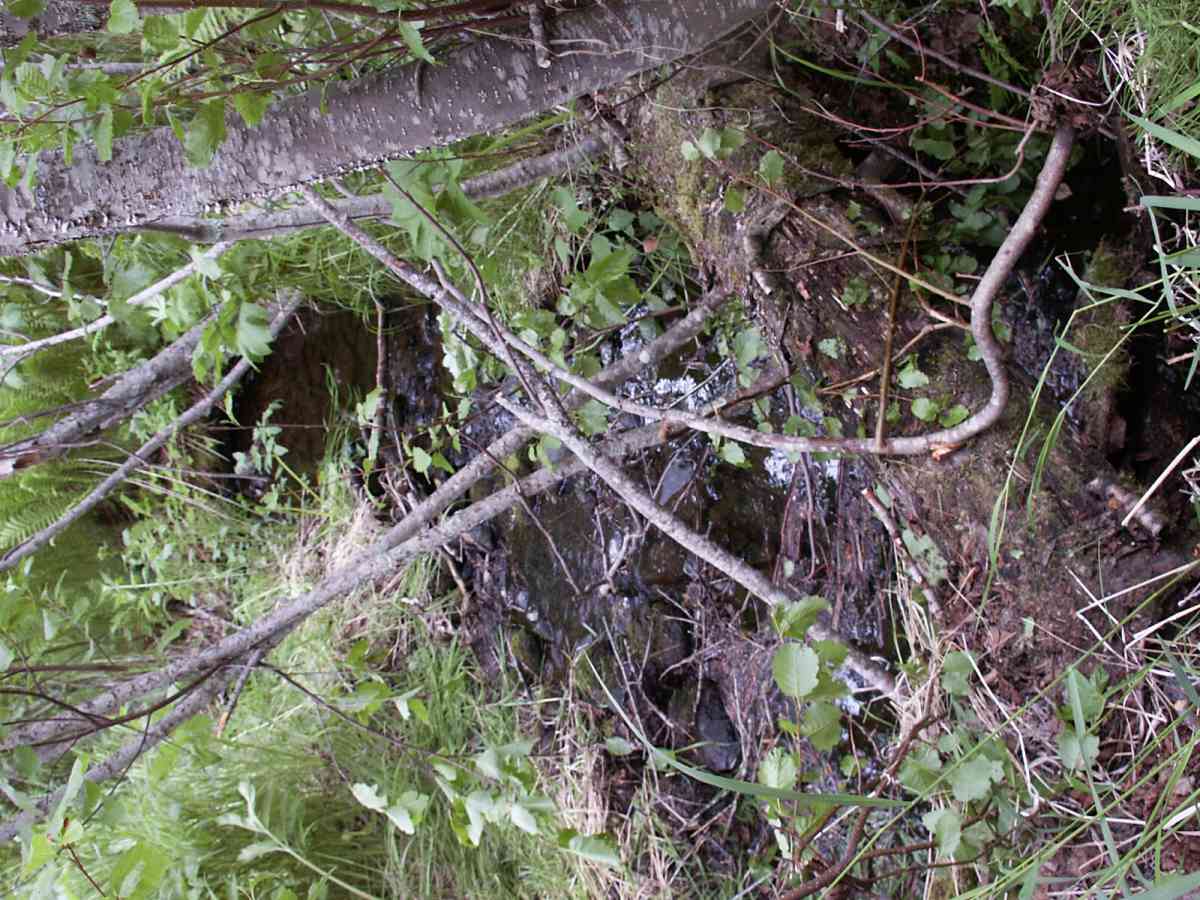
Photos
Questions or comments about this report can be directed to dfg.dsf.webmaster@alaska.gov