Fish Passage Site 20501446
Coordinates (dec. deg.): 61.52931°, -149.60129°
Legal Description: S017N002W26
Region: South Central
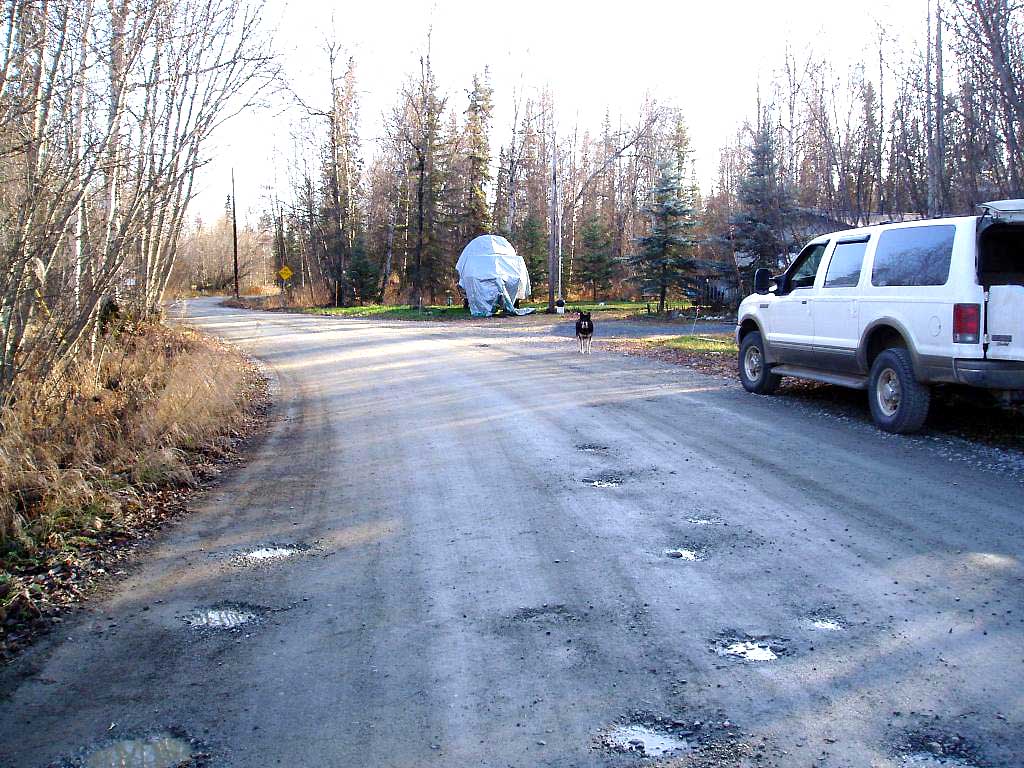
Road Name: Lake Lucille Road
Datum: NAD83
Quad Name / ITM: Anchorage C-7
AWC Stream #:
Stream Name: Lucille Creek
Elevation:
Site Comments: LUCILLE CREEK WATERSHED
arrow to the right of the survey date below to choose a different report for this site.
Survey MSB04-ML116
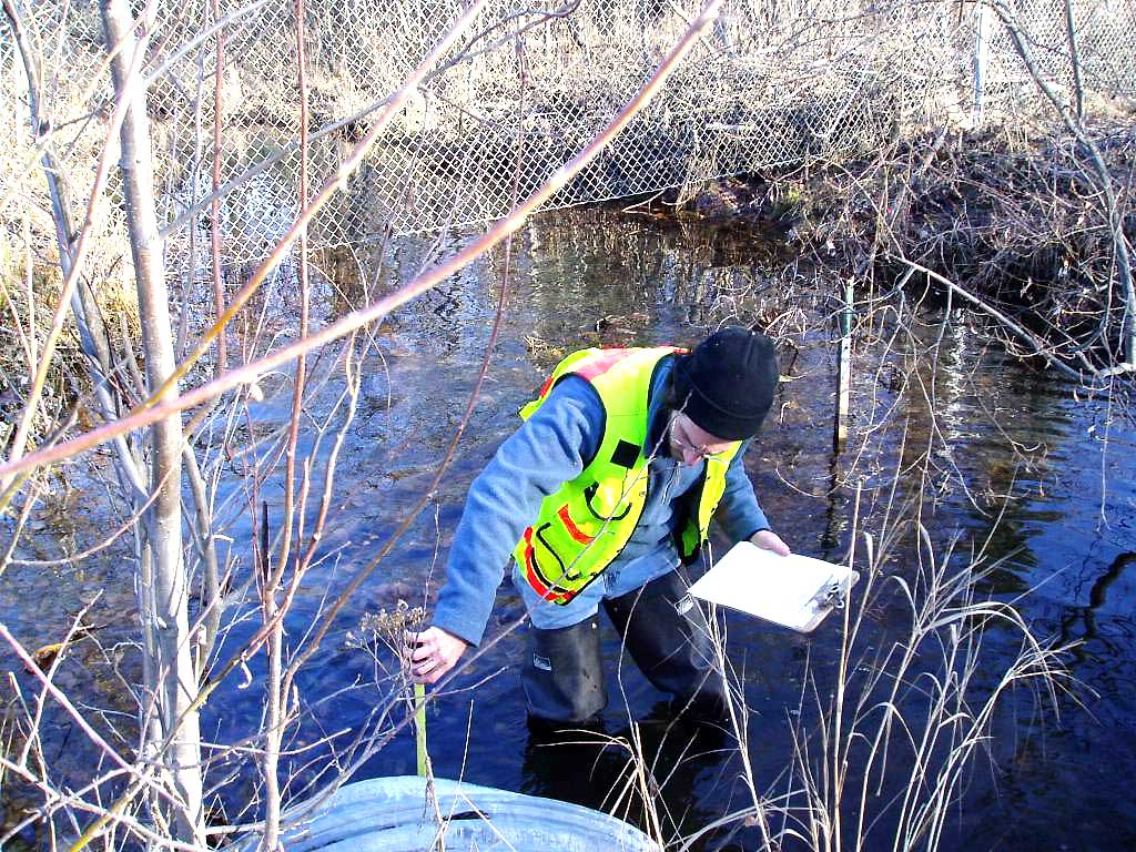
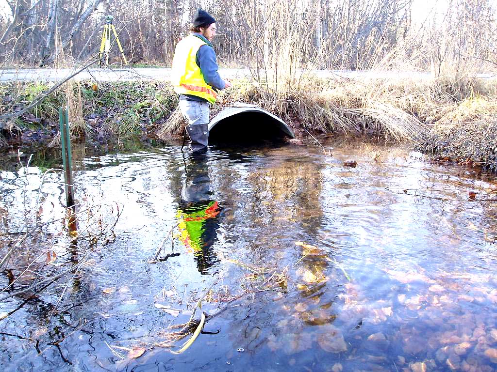
Observers: Gary Greenberg, Jen Ransom
Overall Fish Passage Rating:
Tidal: No
Backwatered: Yes
Step Pools:
Construction Year:
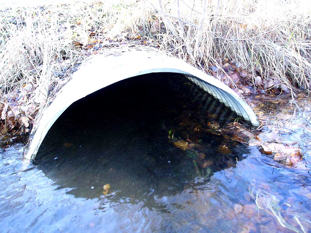
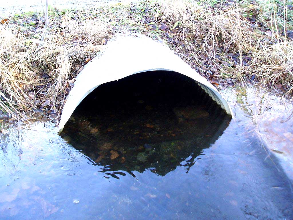
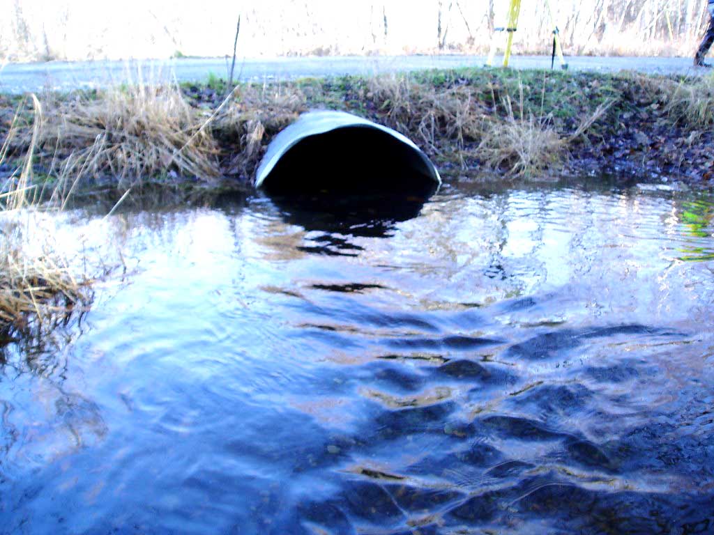
Comments: COHO FRY ON BOTH SIDES OF CULVERT
Culvert Measurements
| ID: 1 | Structure Type: Open-bottom arch (Corrugated Metal) | Fish Passage Rating: | |||||||||||||||||||||||||||||||||||||||||
|
|
|
|||||||||||||||||||||||||||||||||||||||||
Stream Measurements
|
|
No stream width data available.
Elevations
| Locator ID | Culvert Number |
River Distance (ft)1 |
Distance From Crossing (ft)2 |
Relative Elevation (ft) |
|---|---|---|---|---|
| OHW Left Bank | 98.78 | |||
| OHW Left Bank | 98.82 | |||
| D/S Tailcrest or 1st Thalweg | 0.00 | 6.2 | 98.12 | |
| Max Pool Depth | 6.20 | 0.0 | 97.89 | |
| D/S Thalweg | 6.20 | 0.0 | 97.89 | |
| Outlet Invert | 1 | 6.20 | 0.0 | 97.89 |
| Road Elev | 26.20 | 100.94 | ||
| Inlet Culvert Invert | 1 | 46.20 | 0.0 | 97.73 |
| U/S Thalweg | 1 | 54.20 | 8.0 | 97.19 |
Notes:
- River distance is measured continuously throughout the survey reach along the thalweg of the stream.
- Measured from each end of the crossing along the thalweg of the stream.
Fish Sampling Efforts
| Gear Type: Visual Observation, Ground (A) | ||
| Comments: Coho fry observed US and DS from culvert. | ||
Fish Observations
No fish observations occurred during this survey.
Photos

Questions or comments about this report can be directed to dfg.dsf.webmaster@alaska.gov