Fish Passage Site 20501444
Coordinates (dec. deg.): 61.59164°, -149.66653°
Legal Description: S017N002W05
Region: South Central
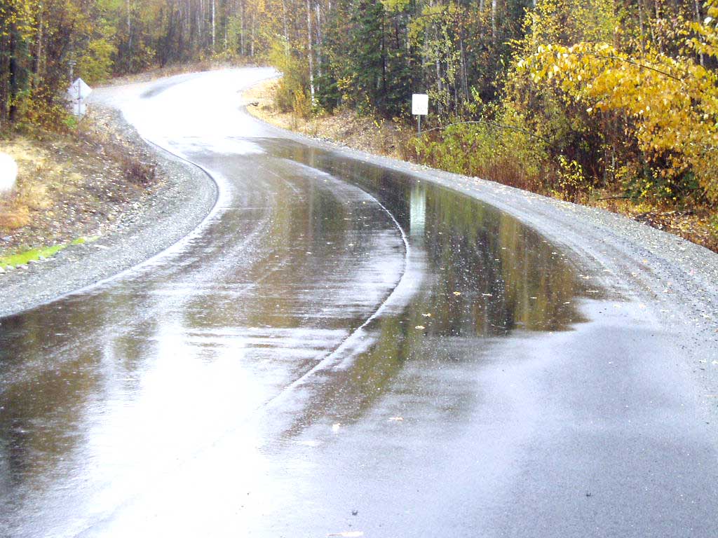
Road Name: Meadow Lakes Loop Road
Datum: NAD83
Quad Name / ITM: Anchorage C-8
AWC Stream #: 247-50-10330-2050-3050-4027
Stream Name: Unnamed
Elevation:
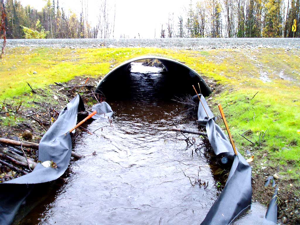
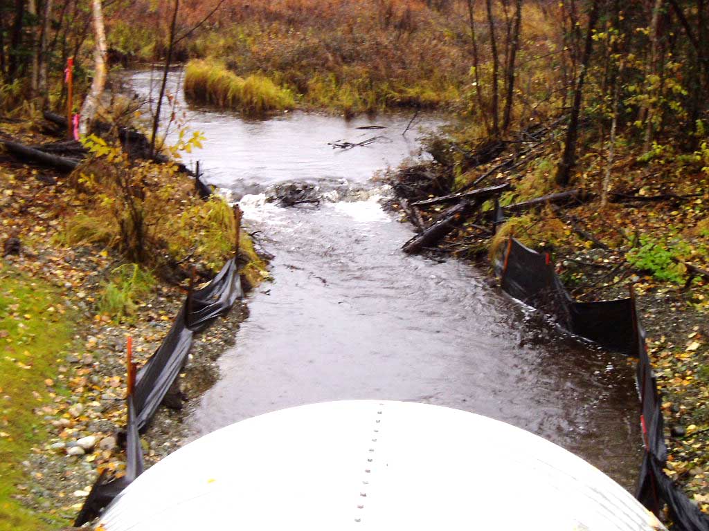
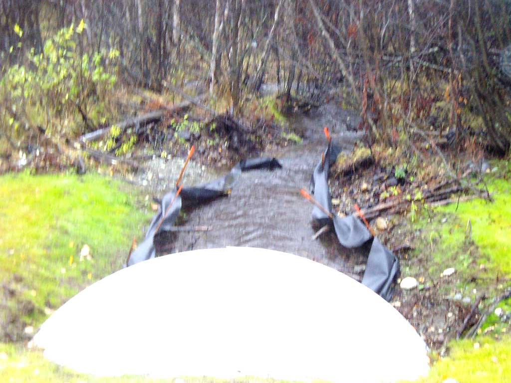
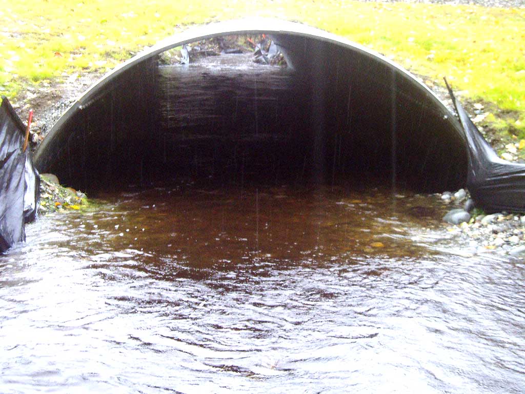
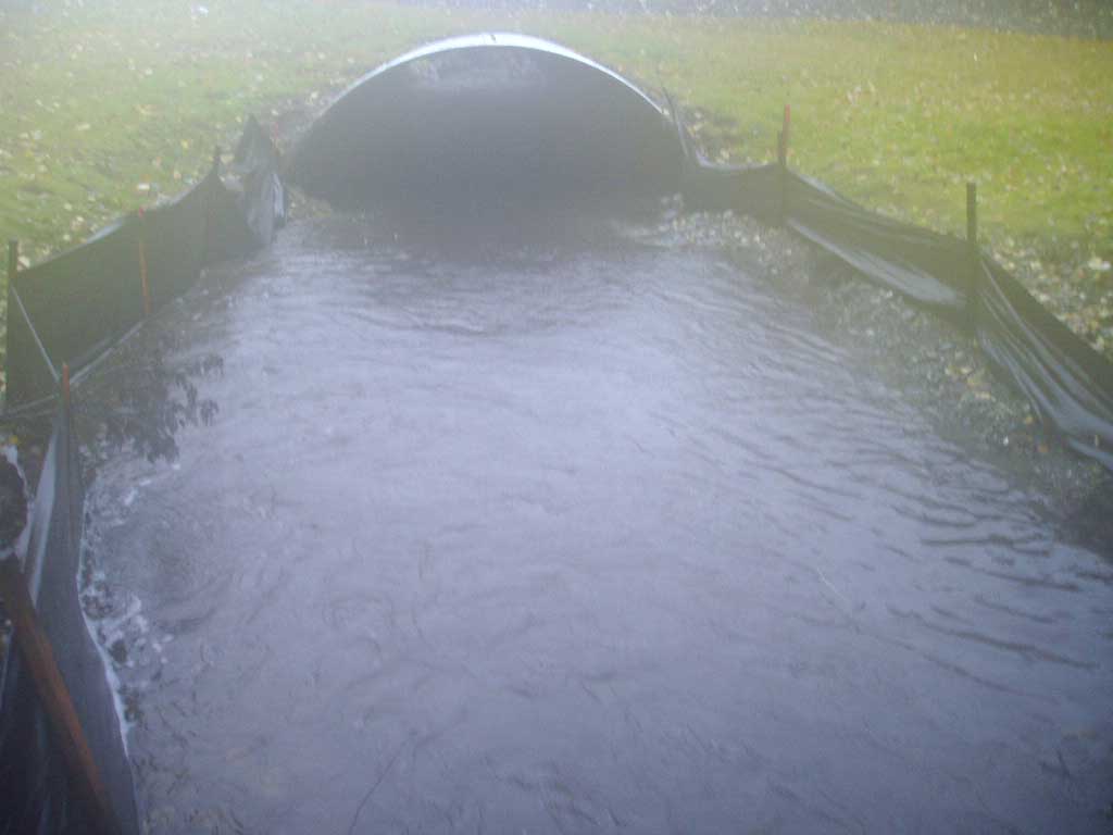
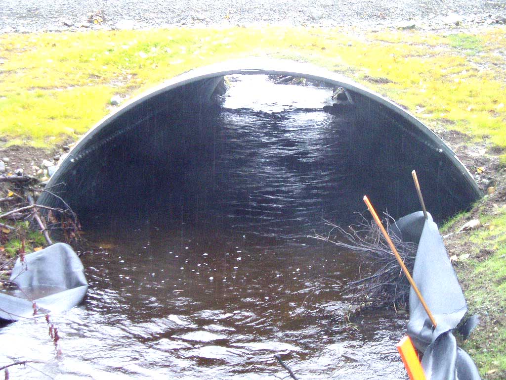
Site Comments: Little Meadow Creek Tributary. NEW CULVERT in 2004
arrow to the right of the survey date below to choose a different report for this site.
Survey MSB04-ML032
Observers: Gary Greenberg, I S
Overall Fish Passage Rating:
Tidal: No
Backwatered: No
Step Pools: No
Construction Year:
Comments: NEW CULVERT, ROAD CREW STATED THAT THIS IS A MAT-SU BOROUGH CULVERT AND IS NOT STATE MAINTAINED, COHO FRY OBSERVED AT INLET. This site has been resurveyed and old surveys should be used for historical purposes only.
Culvert Measurements
| ID: 1 | Structure Type: Open-bottom arch (Strutural Metal Plate) | Fish Passage Rating: | |||||||||||||||||||||||||||||||||||||||||
|
|
|
|||||||||||||||||||||||||||||||||||||||||
Stream Measurements
|
|
| Stream Width Type | Distance From Crossing (ft) |
Stream Width (ft) |
|---|---|---|
| Upstream bed width | 75.0 | 7.50 |
| Upstream bed width | 100.0 | 8.40 |
| Upstream bed width | 125.0 | 7.80 |
| Upstream bed width | 150.0 | 8.40 |
| Upstream ordinary high water | 75.0 | 8.70 |
| Upstream ordinary high water | 100.0 | 9.30 |
| Upstream ordinary high water | 125.0 | 8.60 |
| Upstream ordinary high water | 150.0 | 9.20 |
Elevations
| Locator ID | Culvert Number |
River Distance (ft)1 |
Distance From Crossing (ft)2 |
Relative Elevation (ft) |
|---|---|---|---|---|
| OHW Left Bank | 95.44 | |||
| OHW Left Bank | 95.46 | |||
| D/S Tailcrest or 1st Thalweg | 0.00 | 28.7 | 94.13 | |
| D/S Thalweg | 22.60 | 6.1 | 94.14 | |
| Max Pool Depth | 23.70 | 5.0 | 94.18 | |
| Outlet Invert | 1 | 28.70 | 0.0 | 94.39 |
| Road Elev | 68.20 | 103.62 | ||
| Inlet Culvert Invert | 1 | 107.70 | 0.0 | 95.10 |
| U/S Water Surface Elev | 1 | 124.80 | 17.1 | 94.97 |
| U/S Thalweg | 1 | 133.70 | 26.0 | 94.00 |
Notes:
- River distance is measured continuously throughout the survey reach along the thalweg of the stream.
- Measured from each end of the crossing along the thalweg of the stream.
Fish Sampling Efforts
| Gear Type: Visual Observation, Ground (A) | ||
| Comments: Coho fry observed at inllet | ||
Fish Observations
No fish observations occurred during this survey.
Photos
Questions or comments about this report can be directed to dfg.dsf.webmaster@alaska.gov