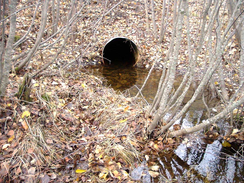
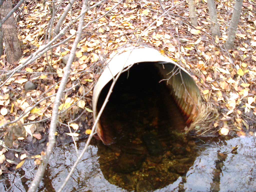
Fish Passage Site 20501438
Coordinates (dec. deg.): 61.57825°, -149.75263°
Legal Description: S017N003W11
Region: South Central
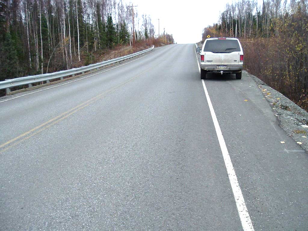
Road Name: Kenlar Road
Datum: NAD83
Quad Name / ITM: Anchorage C-8
AWC Stream #:
Stream Name: Unnamed
Elevation:
Site Comments: SUSITNA RIVER WATERSHED
Multiple surveys have been conducted at this site — click on the drop down
arrow to the right of the survey date below to choose a different report for this site.
arrow to the right of the survey date below to choose a different report for this site.
Survey MSB04-ML067
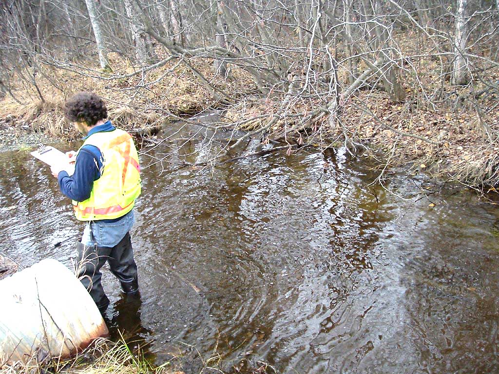
Observers: Gary Greenberg, I S
Overall Fish Passage Rating:
Tidal: No
Backwatered: No
Step Pools: No
Construction Year:
Site Observations:
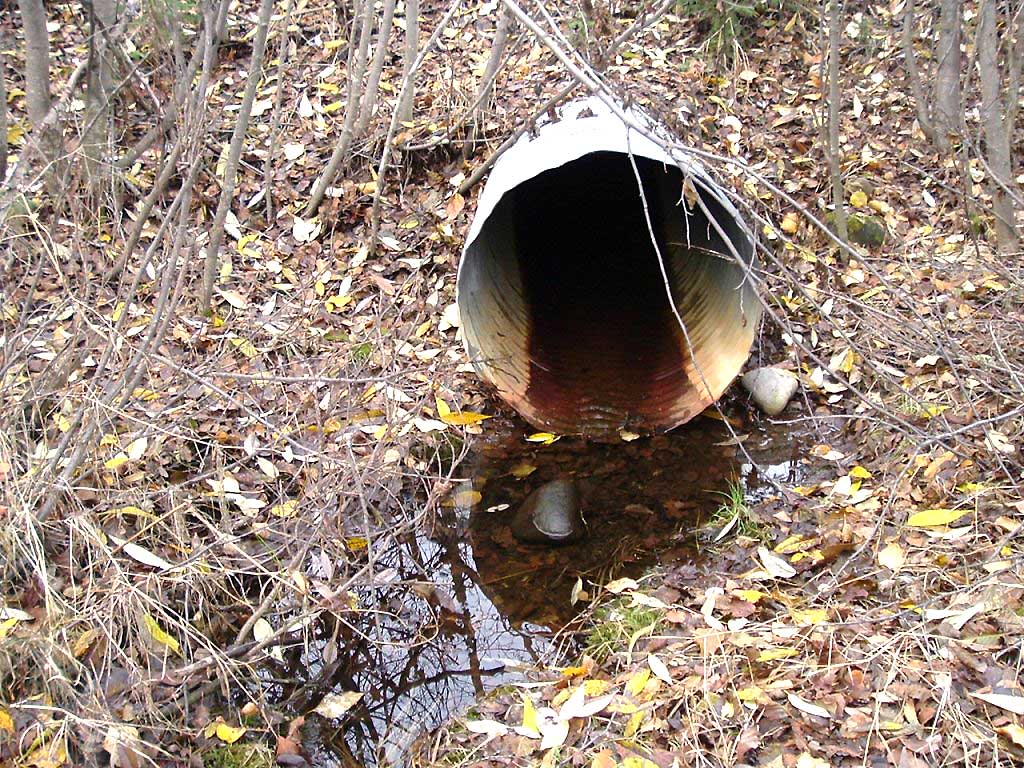
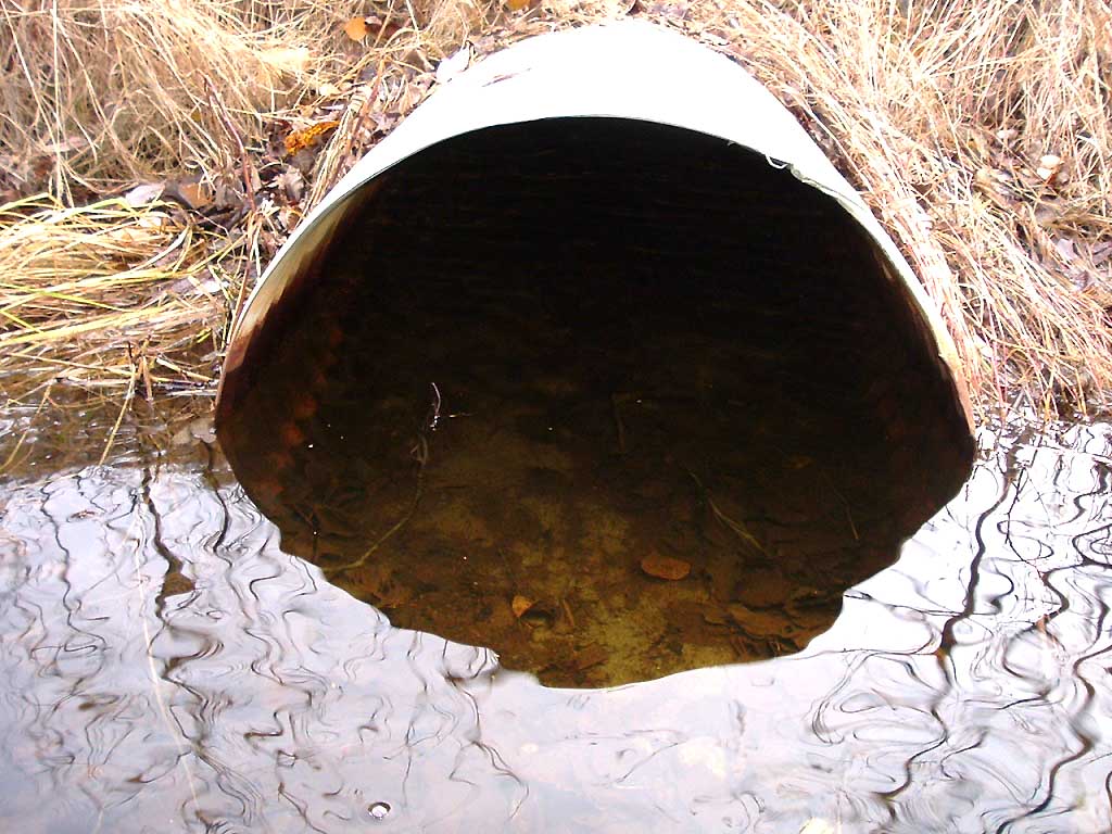
- Hydraulic flows exceeded capacity
- Mechanical damage or joints parting
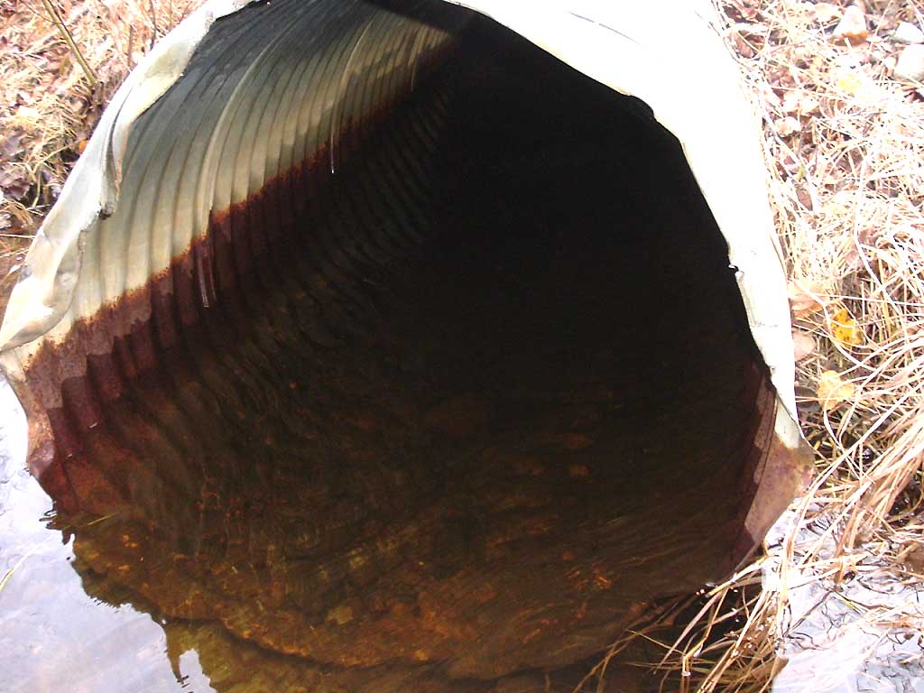
Comments: COHO FRY ON BOTH SIDES OF CULVERT
Culvert Measurements
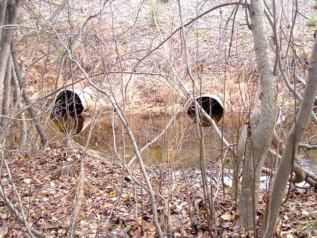
| ID: 1 | Structure Type: Circular pipe (Corrugated Metal) | Fish Passage Rating: | |||||||||||||||||||||||||||||||||||||||||
|
|
|
|||||||||||||||||||||||||||||||||||||||||
Culvert Observations:
|
|||||||||||||||||||||||||||||||||||||||||||
| ID: 2 | Structure Type: Circular pipe (Corrugated Metal) | Fish Passage Rating: | |||||||||||||||||||||||||||||||||||||||||
|
|
|
|||||||||||||||||||||||||||||||||||||||||
Culvert Observations:
|
|||||||||||||||||||||||||||||||||||||||||||
Stream Measurements
|
|
| Stream Width Type | Distance From Crossing (ft) |
Stream Width (ft) |
|---|---|---|
| Upstream bed width | 75.0 | 2.10 |
| Upstream bed width | 100.0 | 2.60 |
| Upstream bed width | 125.0 | 1.80 |
| Upstream bed width | 150.0 | 2.10 |
| Upstream ordinary high water | 75.0 | 2.30 |
| Upstream ordinary high water | 100.0 | 2.80 |
| Upstream ordinary high water | 125.0 | 1.90 |
| Upstream ordinary high water | 150.0 | 2.20 |
Elevations
| Locator ID | Culvert Number |
River Distance (ft)1 |
Distance From Crossing (ft)2 |
Relative Elevation (ft) |
|---|---|---|---|---|
| OHW Left Bank | 90.61 | |||
| OHW Left Bank | 90.69 | |||
| D/S Tailcrest or 1st Thalweg | 0.00 | 12.6 | 89.69 | |
| Max Pool Depth | 7.60 | 5.0 | 89.57 | |
| D/S Thalweg | 7.60 | 5.0 | 89.57 | |
| Outlet Invert | 1 | 12.60 | 0.0 | 89.65 |
| Outlet Invert | 2 | 12.60 | 0.0 | 89.82 |
| Road Elev | 60.10 | 108.73 | ||
| Inlet Culvert Invert | 2 | 107.60 | 0.0 | 90.12 |
| Inlet Culvert Invert | 1 | 107.60 | 0.0 | 90.78 |
| U/S Thalweg | 1 | 113.60 | 6.0 | 90.14 |
| U/S Thalweg | 2 | 113.60 | 6.0 | 89.70 |
Notes:
- River distance is measured continuously throughout the survey reach along the thalweg of the stream.
- Measured from each end of the crossing along the thalweg of the stream.
Fish Sampling Efforts
| Gear Type: Visual Observation, Ground (A) | ||
| Comments: Coho fry observed on both sides of culvert. | ||
Fish Observations
No fish observations occurred during this survey.
Photos

Questions or comments about this report can be directed to dfg.dsf.webmaster@alaska.gov