Fish Passage Site 20501422
Coordinates (dec. deg.): 62.15563°, -150.09995°
Legal Description: S024N005W24
Region: South Central
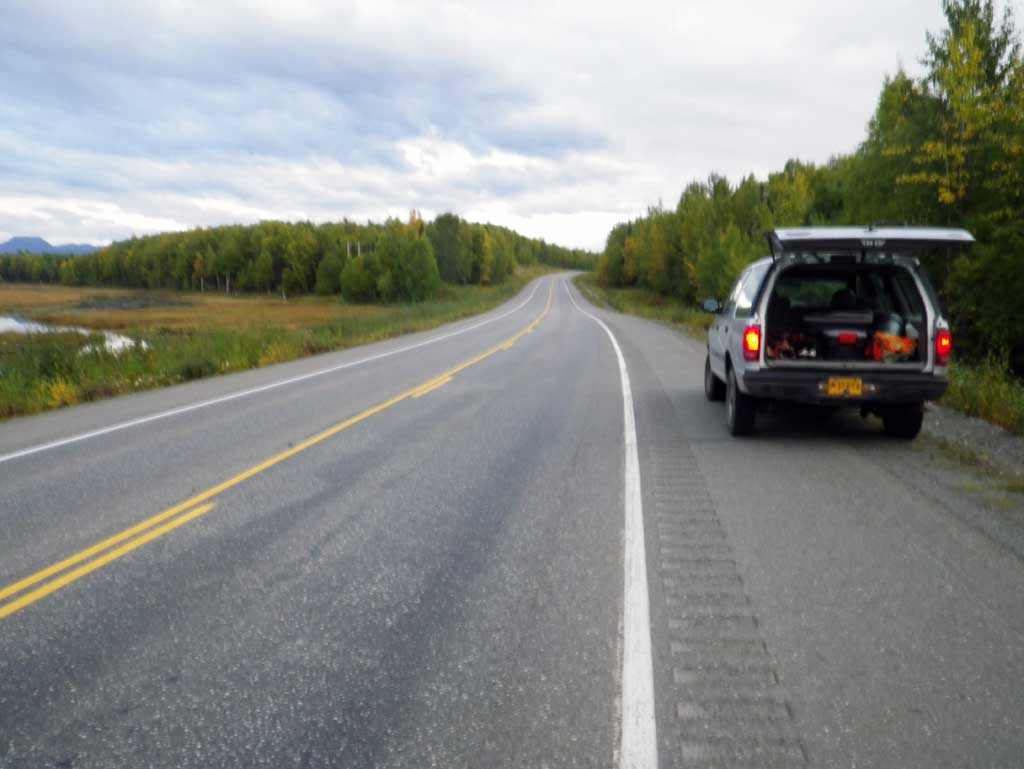
Road Name: PARKS Highway
Datum: NAD83
Quad Name / ITM: Talkeetna A-1
AWC Stream #:
Stream Name: Susitna River tributary
Elevation:
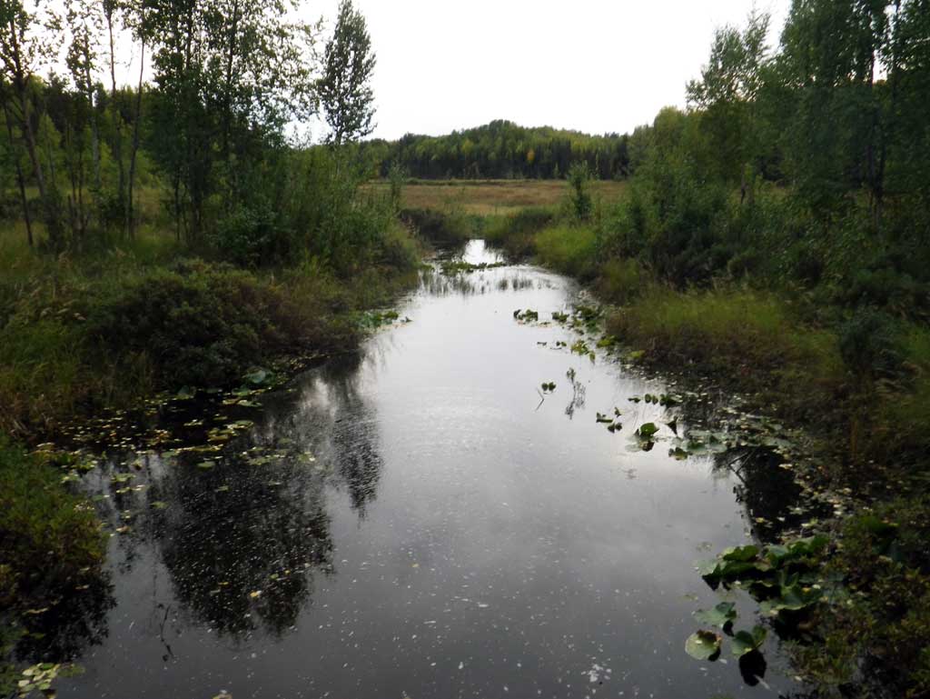
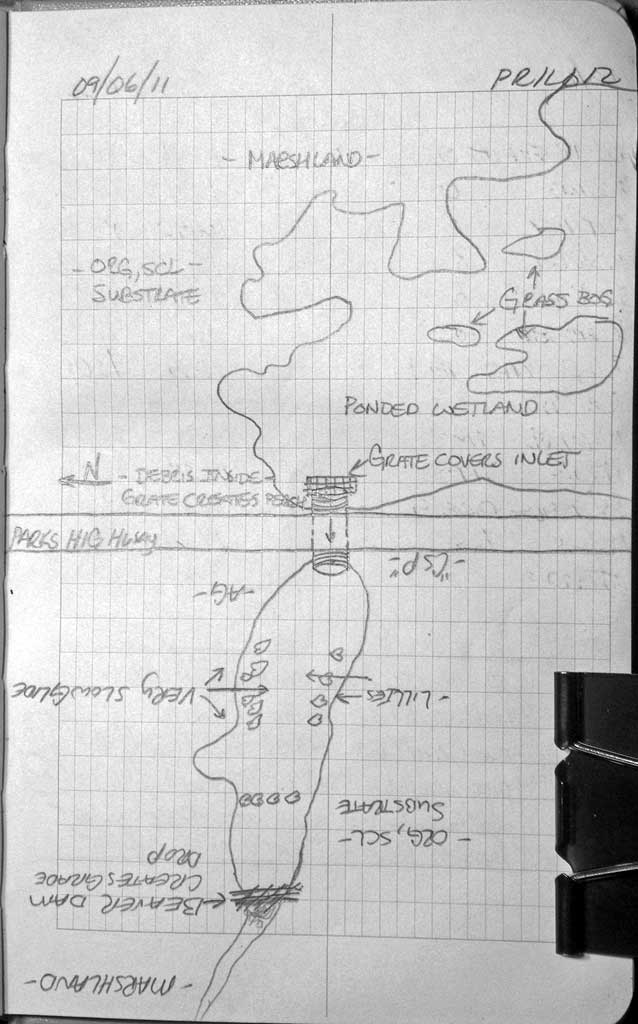
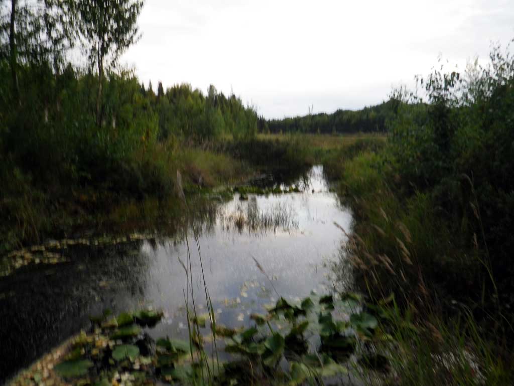
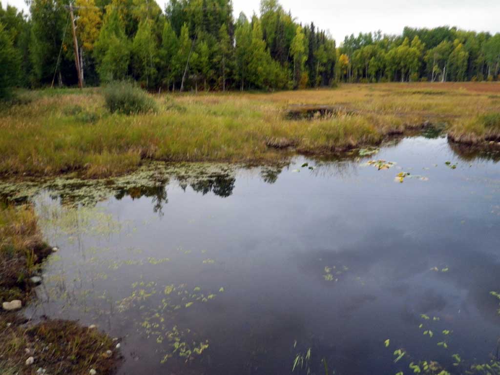
Site Comments: SUSITNA RIVER WATERSHED
arrow to the right of the survey date below to choose a different report for this site.
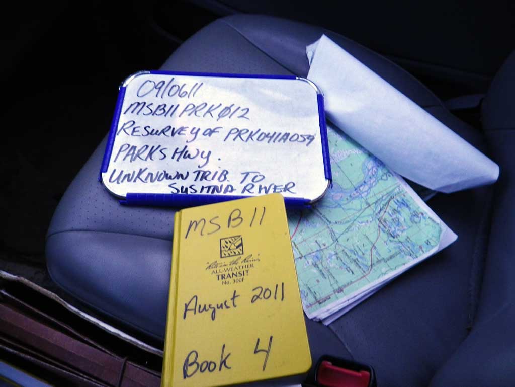
Survey MSB11-PRK12
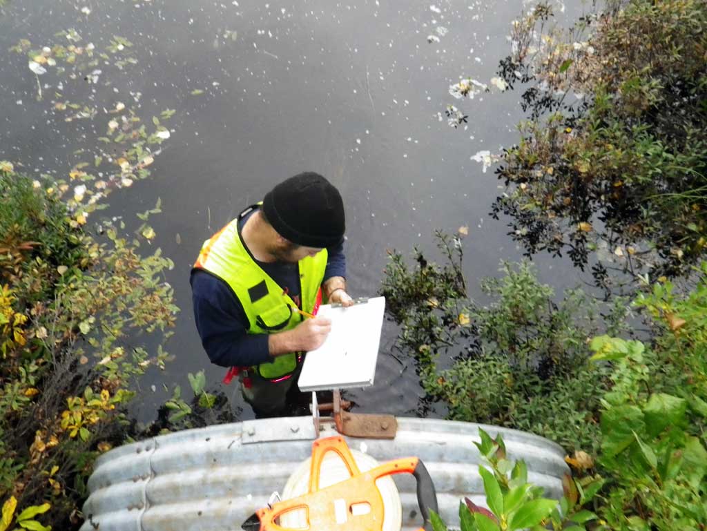
Project Supervisor: Gillian O'Doherty, Alaska Department of Fish and Game
— Anchorage, AK
Observers: Abraham Gioffre, Jim Latham
Overall Fish Passage Rating:
Tidal: No
Backwatered: No
Step Pools: No
Construction Year:
Site Observations:
- Culvert gradient gray
- Compound gradient in pipe
- Beaver Activity
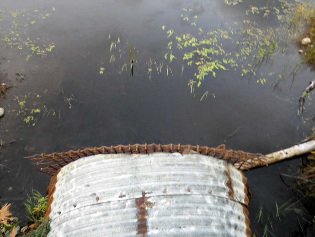
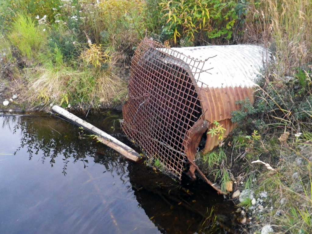
- Inlet perch
- Mechanical damage or joints parting
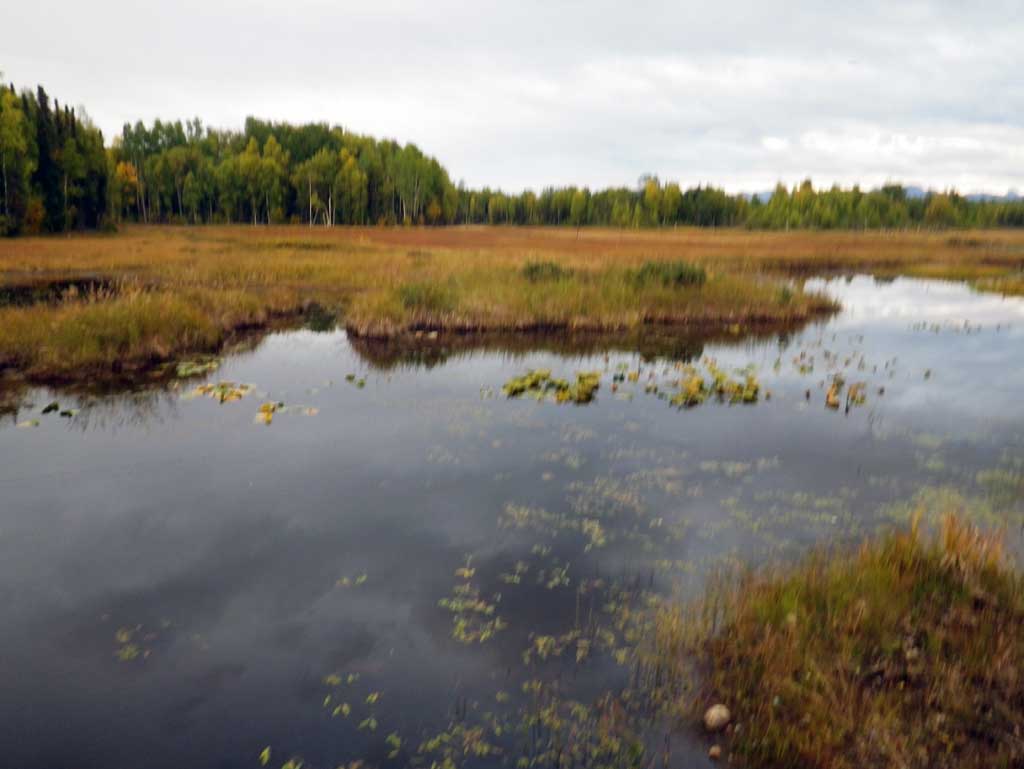
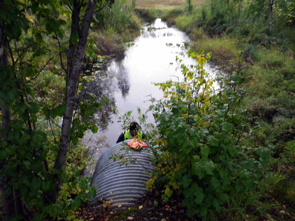
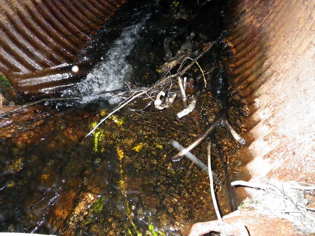
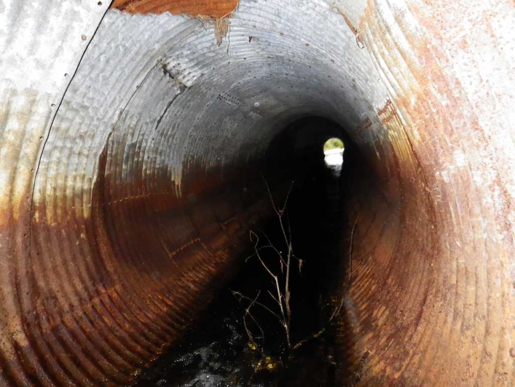
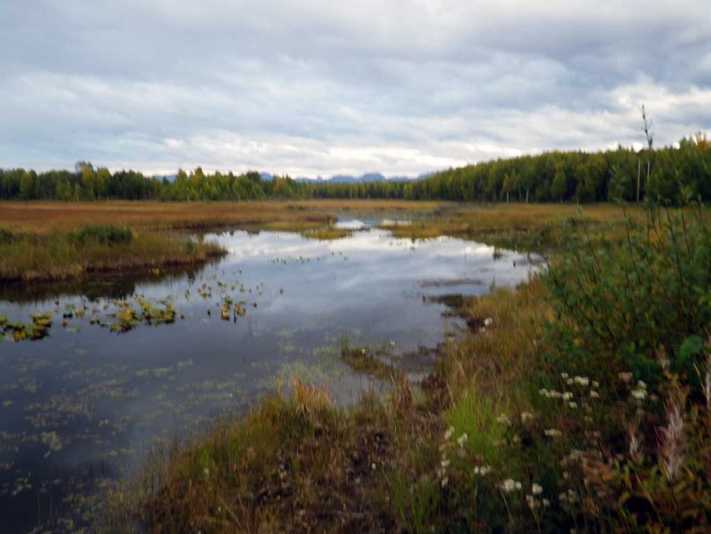
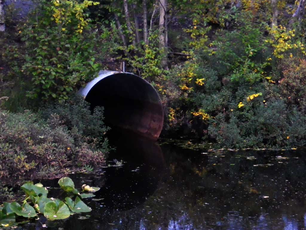
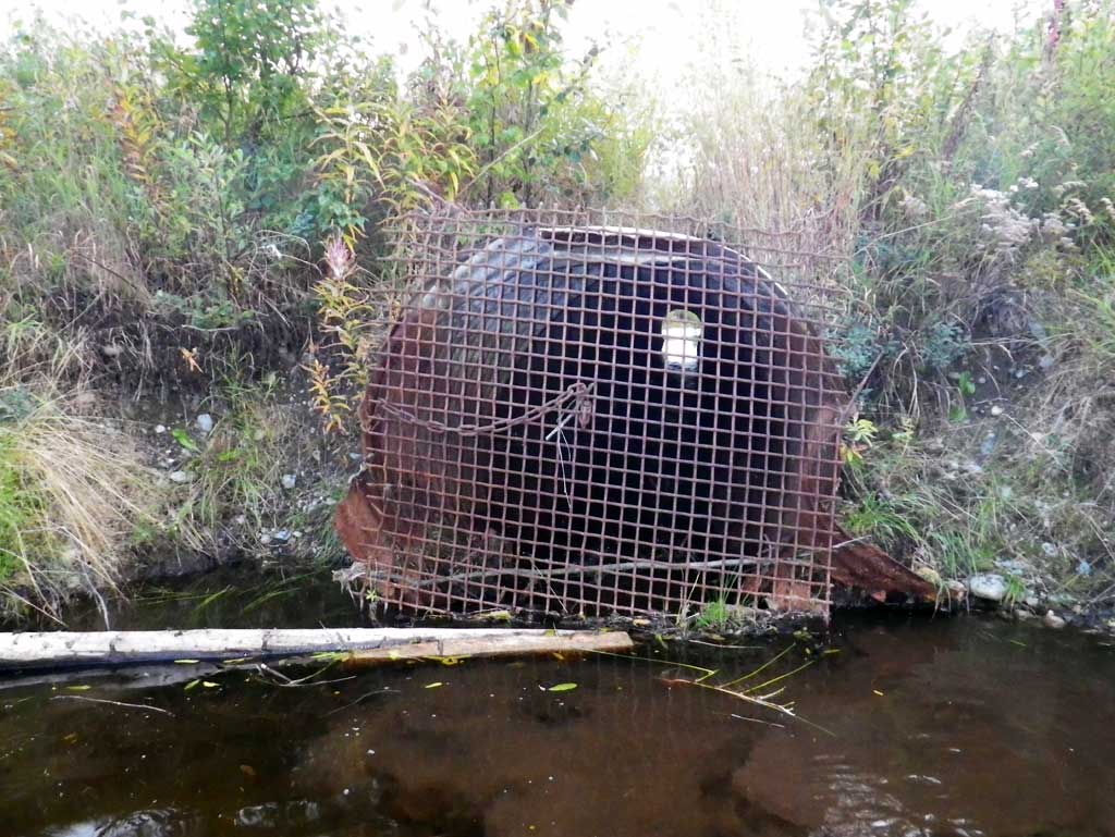
Comments: Upst water surface is very still with a marsh and a grate at the inlet with a beaver dam built around it. The beaver dam at the inlet creates an inlet perch and difficulty getting accurate inlet pipe measurements. Dwst of the outlet is a beaver dam approximately 150' dwst. No stream measurements taken due to having a marsh upst and a beaver impoundment dwst.
Culvert Measurements
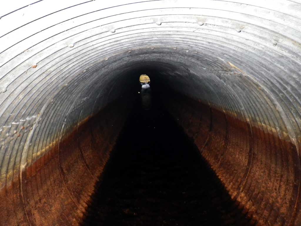
| ID: 1 | Structure Type: Circular pipe (Structural steel plate) | Fish Passage Rating: | |||||||||||||||||||||||||||||||||||||||||
|
|
|
|||||||||||||||||||||||||||||||||||||||||
Culvert Observations:
|
|||||||||||||||||||||||||||||||||||||||||||
Stream Measurements
|
|
No stream width data available.
Elevations
| Locator ID | Culvert Number |
River Distance (ft)1 |
Distance From Crossing (ft)2 |
Relative Elevation (ft) |
|---|---|---|---|---|
| D/S Water Surface Elev | 0.00 | 87.80 | ||
| D/S Thalweg (profile pt in glide) | 0.00 | 85.72 | ||
| Outlet Invert (invert on pipe) | 8.00 | 86.80 | ||
| Outlet Culvert Top | 8.00 | 91.87 | ||
| D/S Water Surface Elev (outlet water surface) | 8.00 | 87.82 | ||
| Road Elev | 98.00 | 97.93 | ||
| U/S Water Surface Elev (water surface iin pipe at inlet dwst of beaver dam) | 119.90 | 88.82 | ||
| U/S Headwater | 119.90 | 88.86 | ||
| Inlet Culvert Top (No inlet invert taken due to beaver dam and grate at inlet) | 119.90 | 93.01 | ||
| U/S Thalweg (profile pt in marsh) | 128.90 | 87.63 | ||
| U/S Water Surface Elev | 128.90 | 88.86 |
Notes:
- River distance is measured continuously throughout the survey reach along the thalweg of the stream.
- Measured from each end of the crossing along the thalweg of the stream.
Fish Sampling Efforts
No fish sampling occurred during this survey.
Fish Observations
No fish observations occurred during this survey.
Photos
Questions or comments about this report can be directed to dfg.dsf.webmaster@alaska.gov