Fish Passage Site 20501390
Coordinates (dec. deg.): 62.60528°, -150.22652°
Legal Description: S029N005W16
Region: South Central
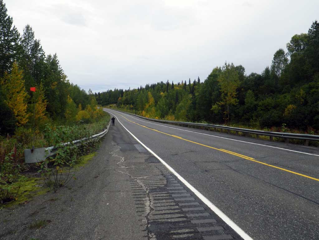
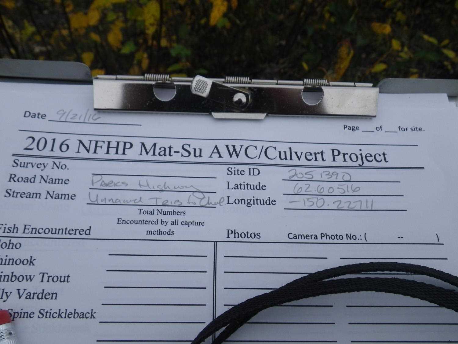
Road Name: Parks Highway
Datum: NAD83
Quad Name / ITM: Talkeetna C-1
AWC Stream #:
Stream Name: Chulitna River tributary
Elevation:
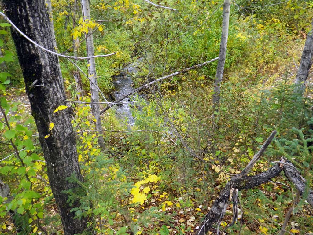
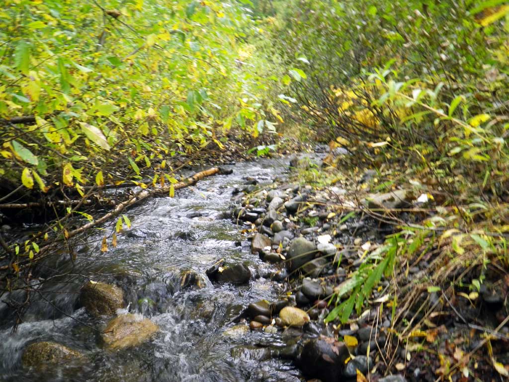
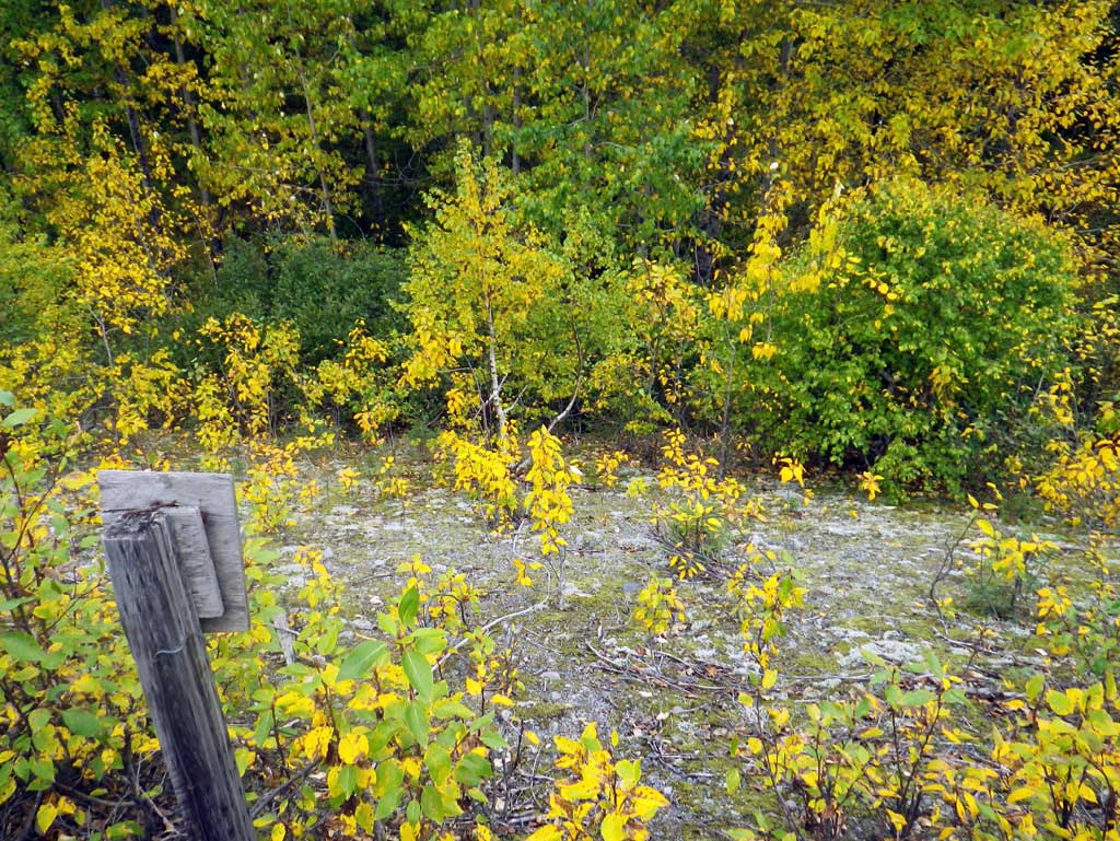
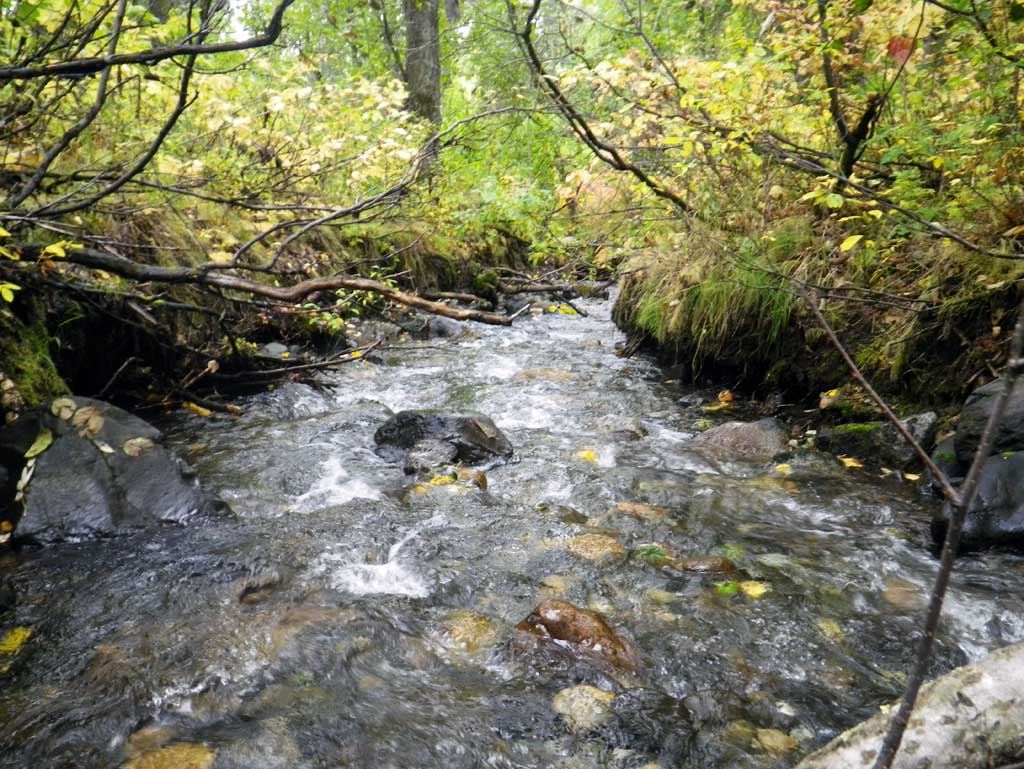
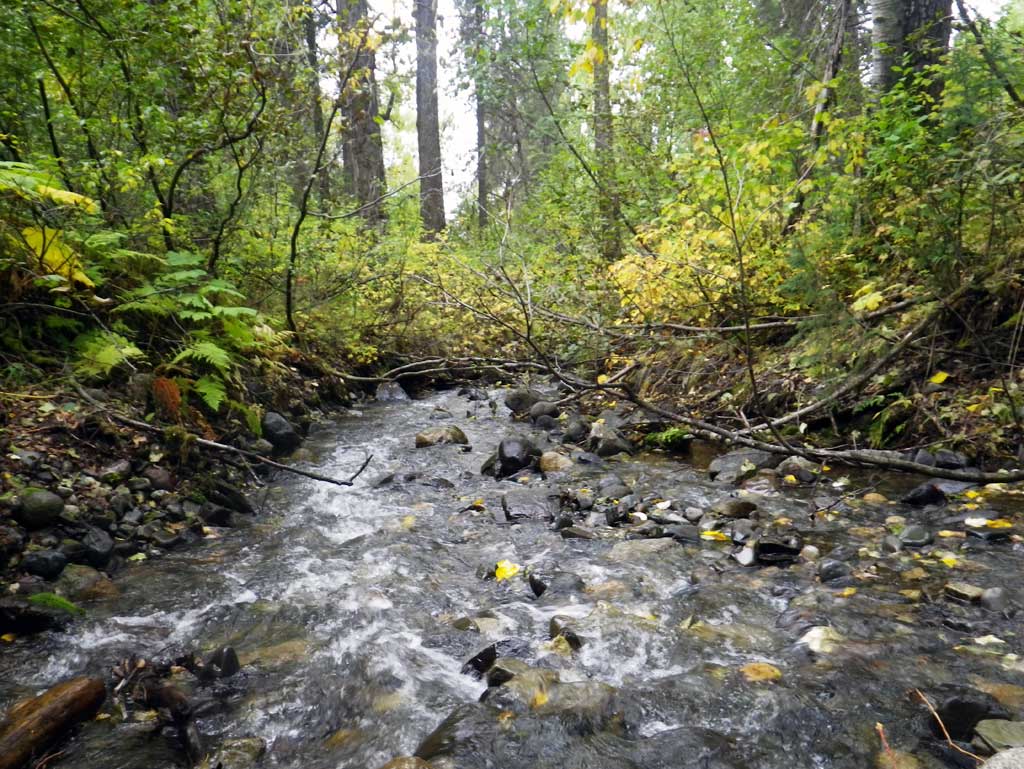
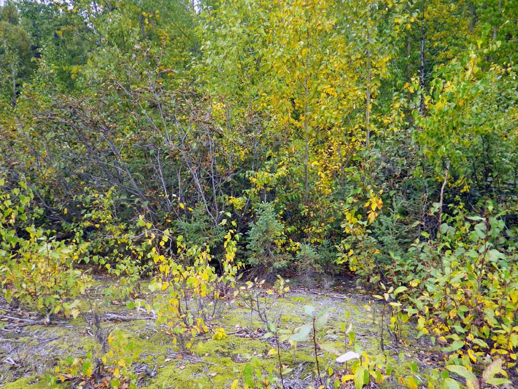
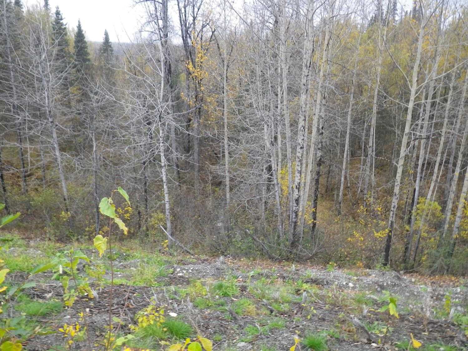
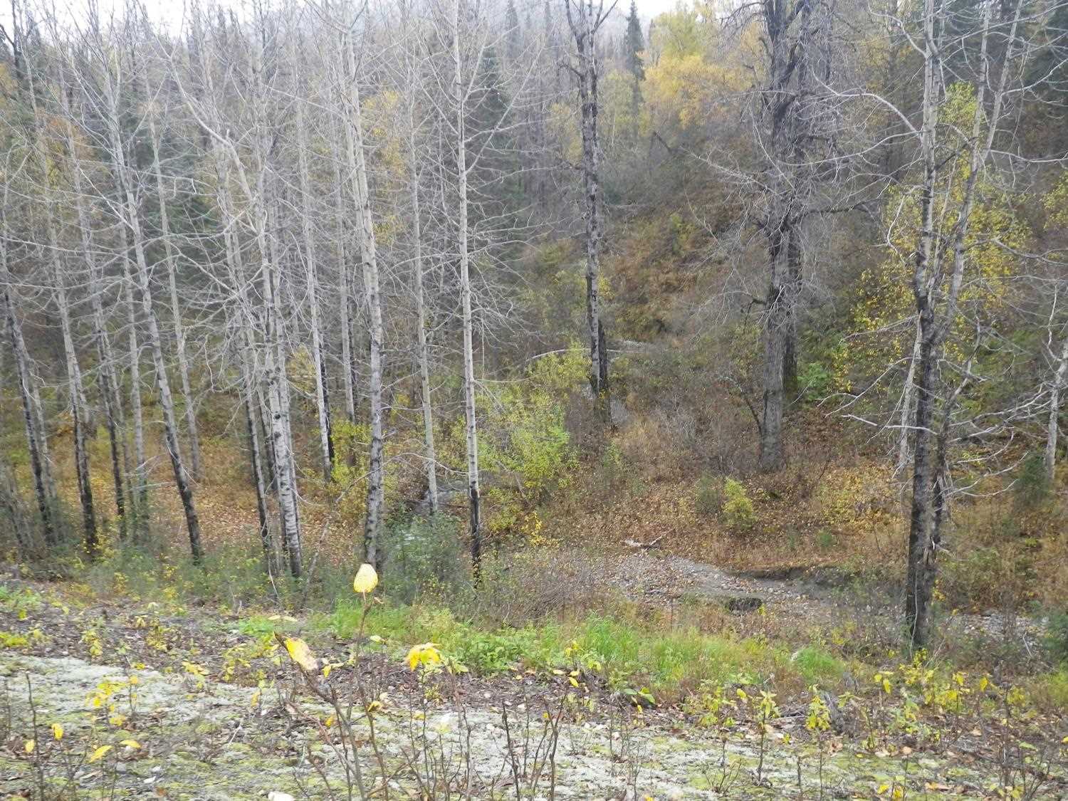
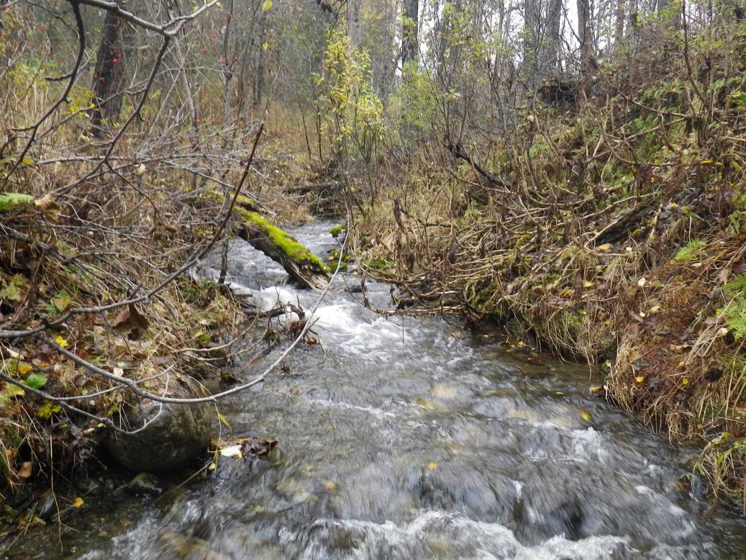
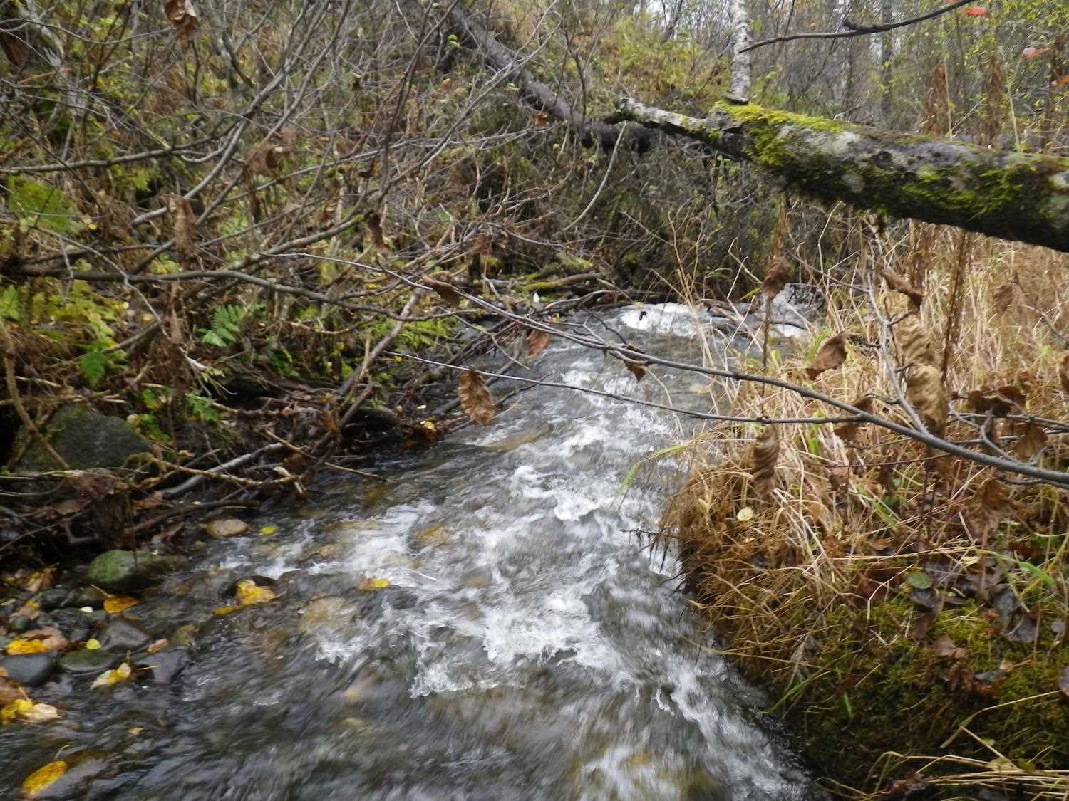
Site Comments: Chulitna River watershed,
arrow to the right of the survey date below to choose a different report for this site.
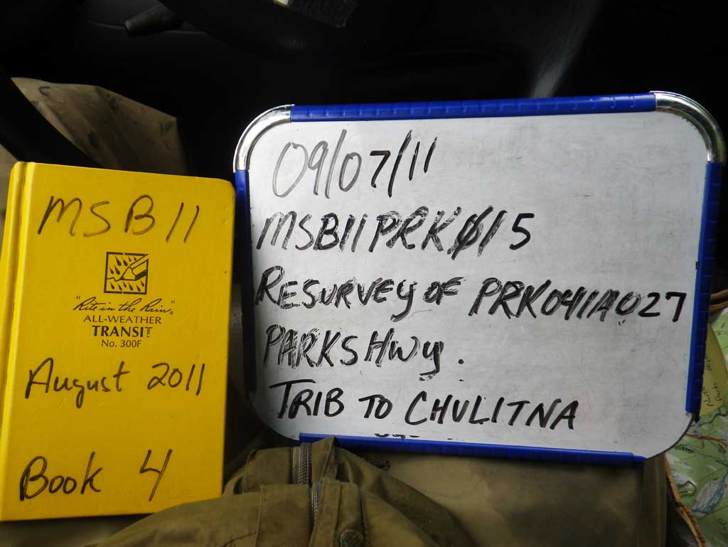
Survey MSB11-PRK15
Project Supervisor: Gillian O'Doherty, Alaska Department of Fish and Game
— Anchorage, AK
Observers: Abraham Gioffre, Jim Latham
Overall Fish Passage Rating:
Tidal: No
Backwatered: No
Step Pools: No
Construction Year:
Site Observations:
- Constriction ratio red
- Outfall height red
- Culvert gradient red
- Woody Debris
- Inlet perch
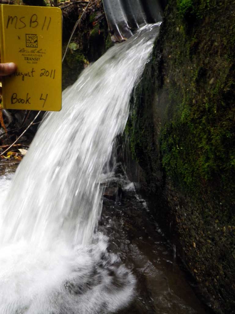
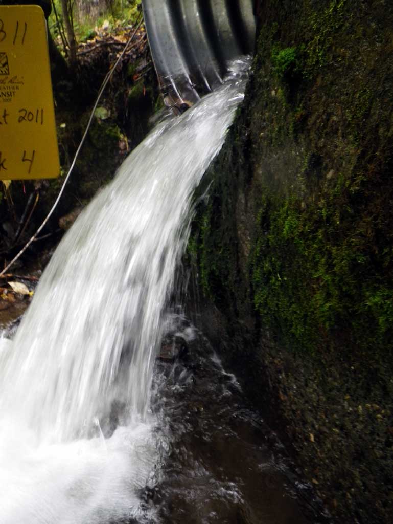
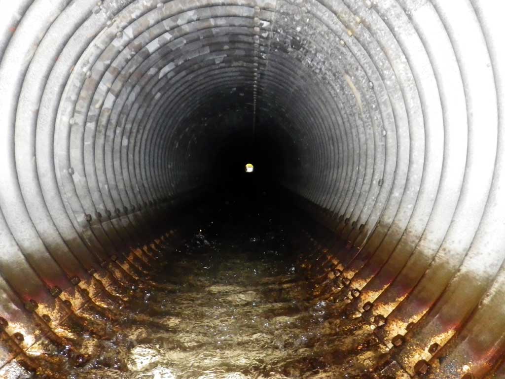
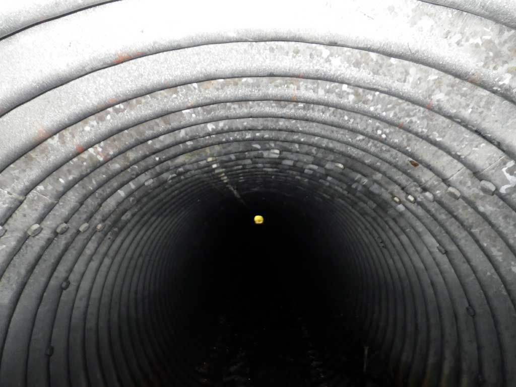
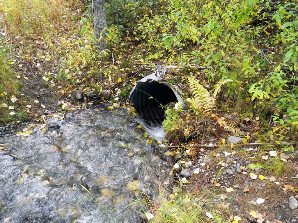
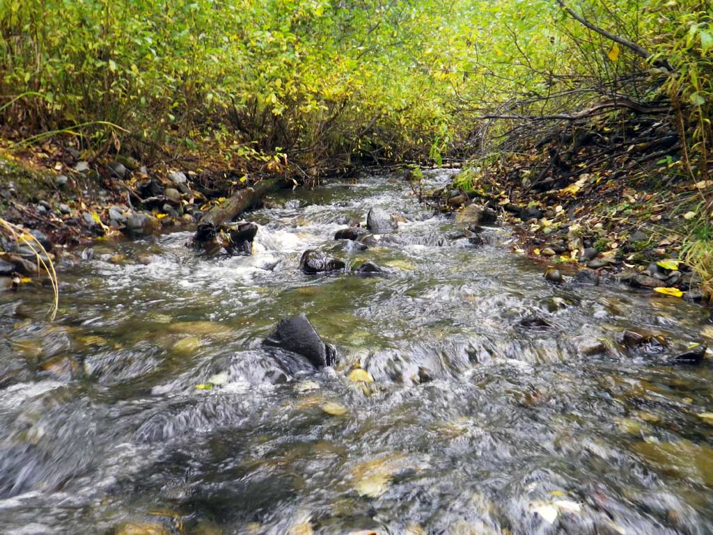
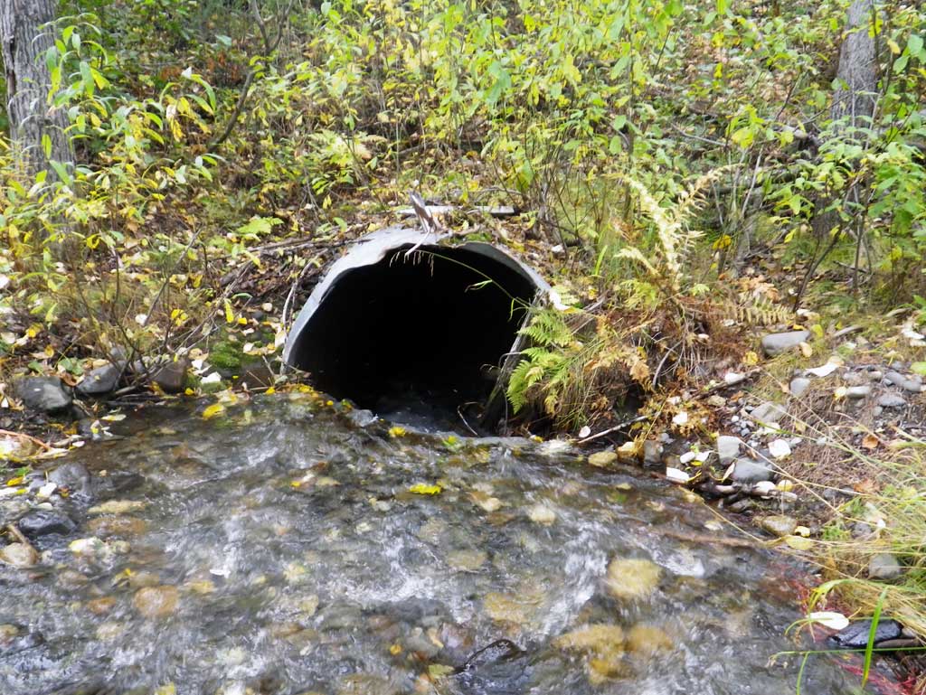
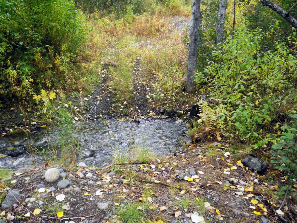
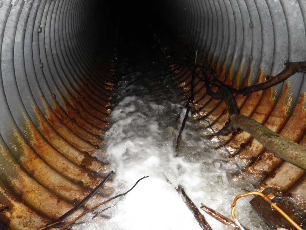
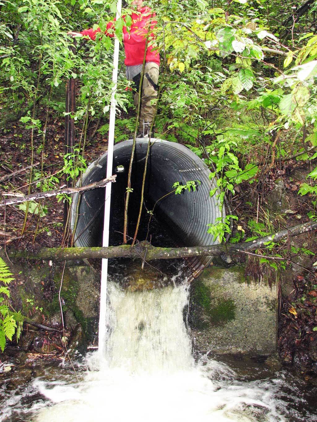
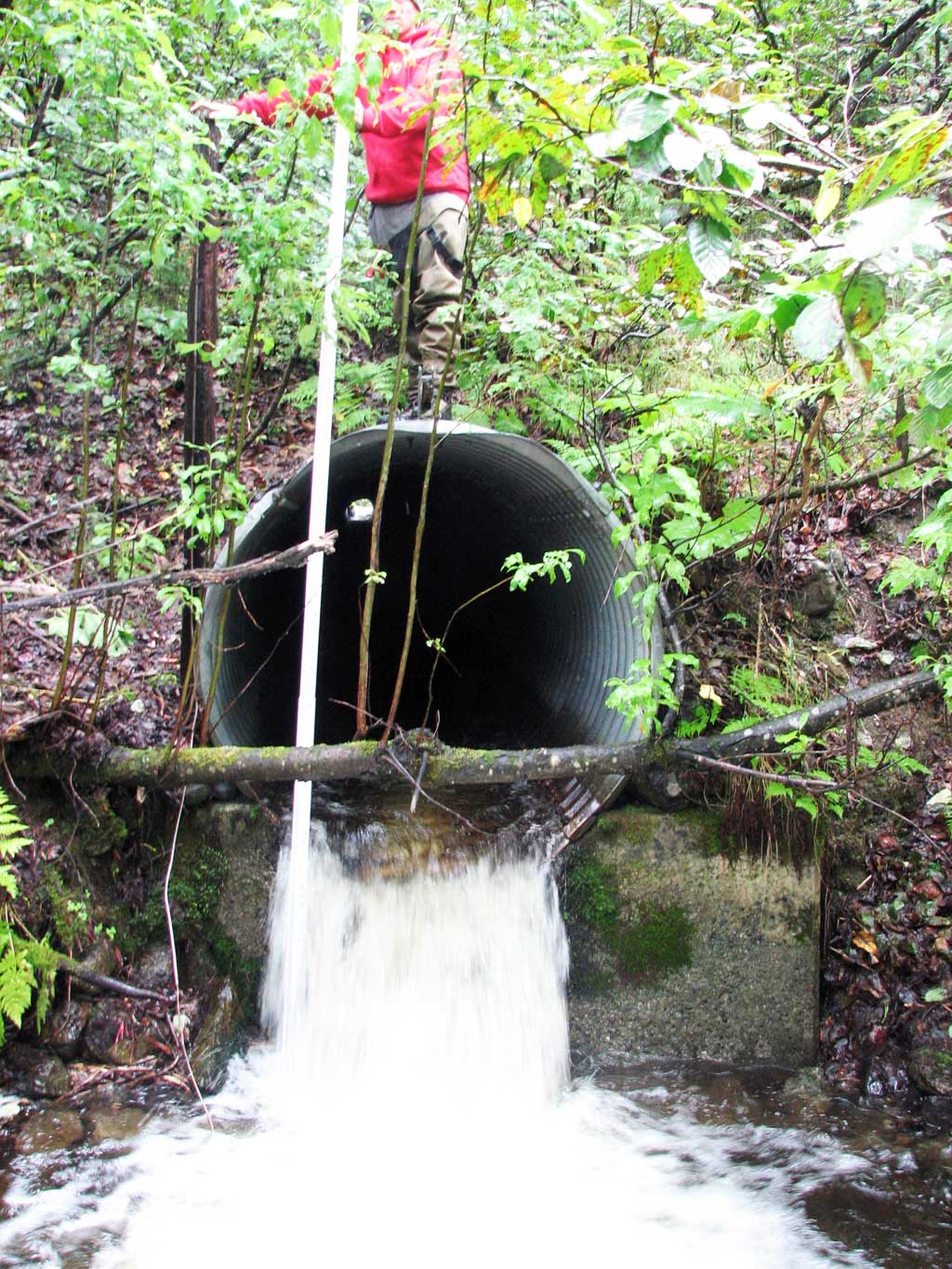
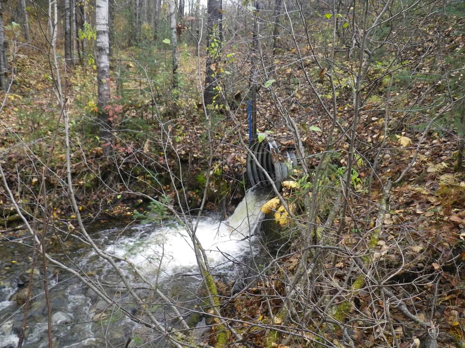
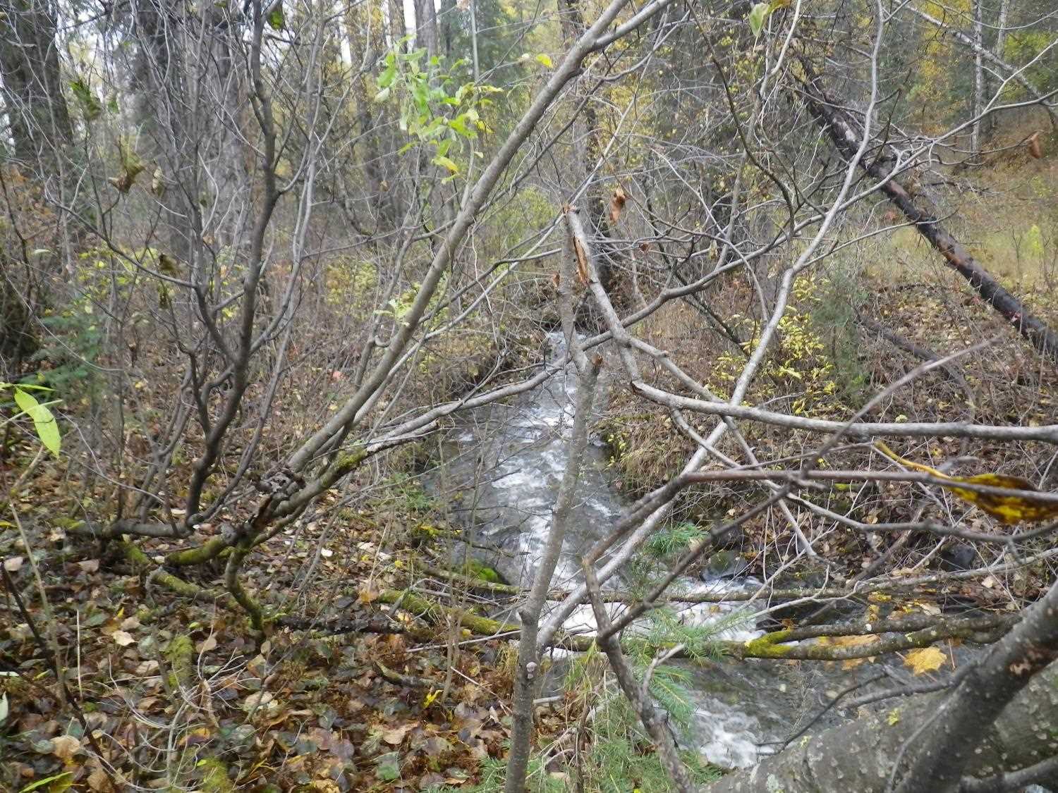
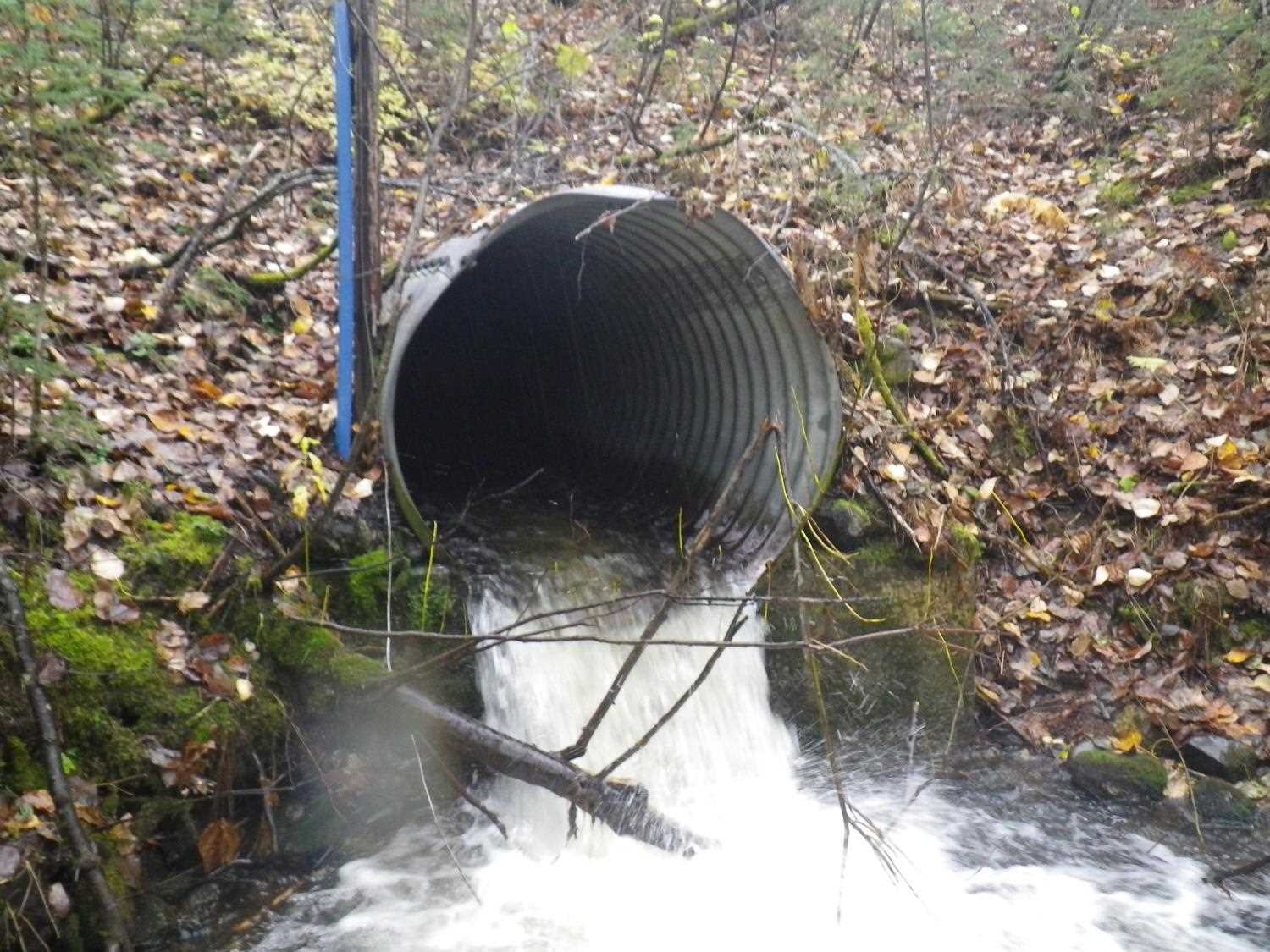
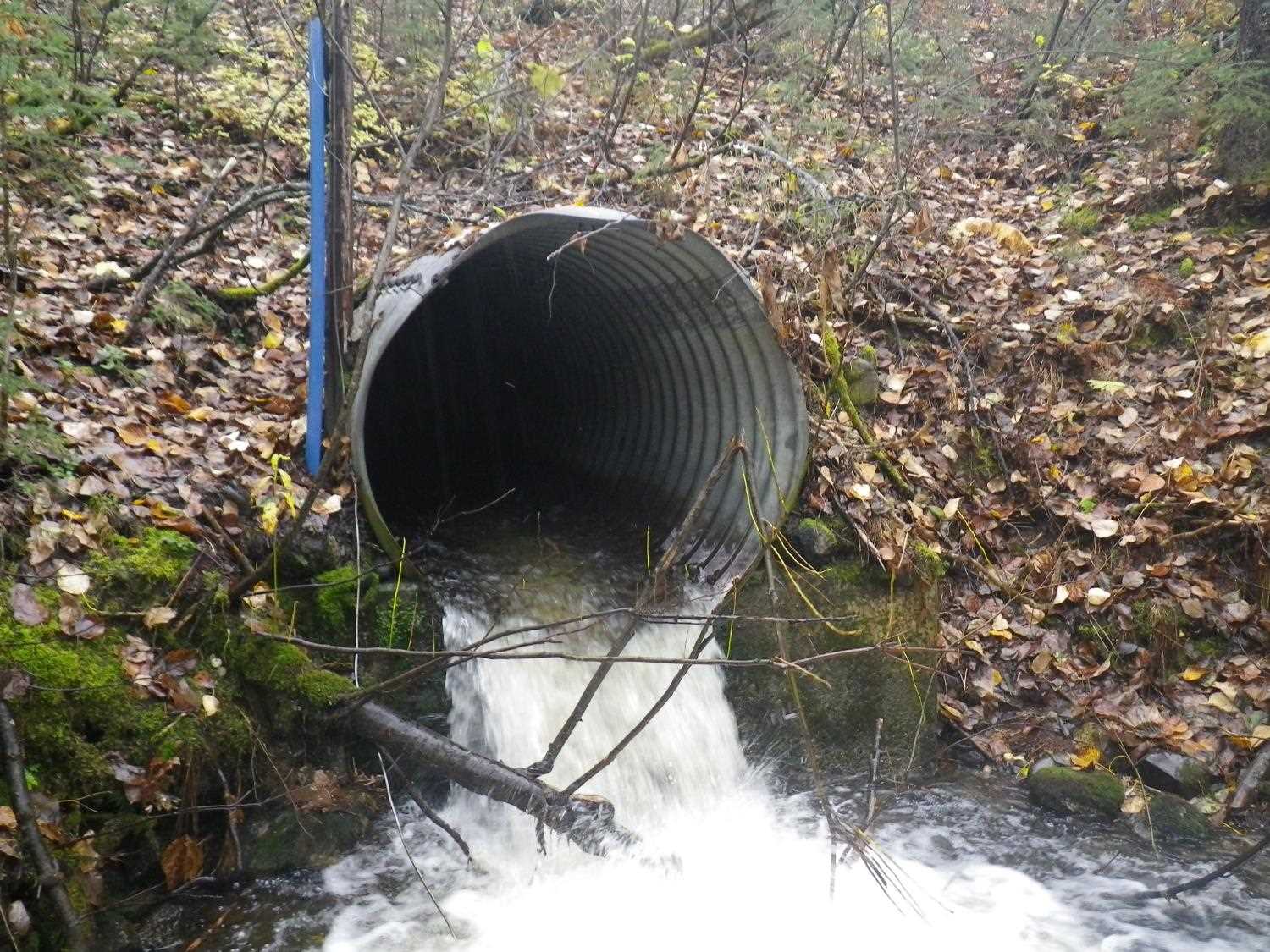
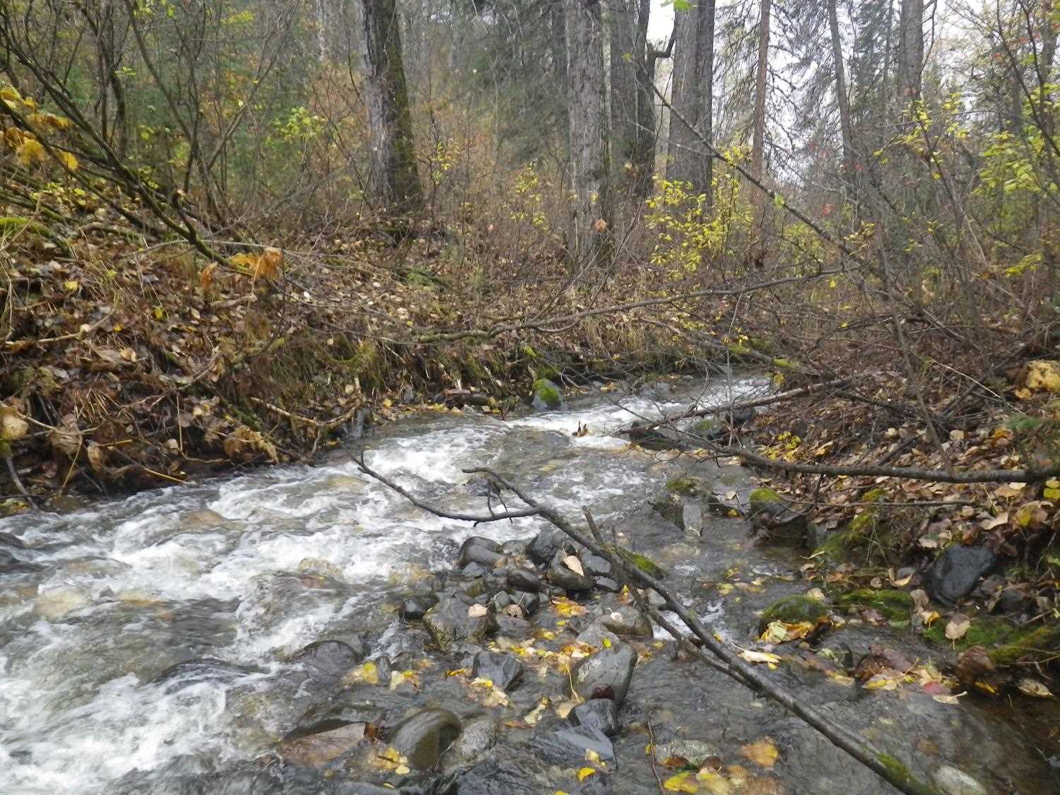
Comments: Culvert has a large inlet perch of about 2.5' and a very high stream velocity near inlet making measurements difficult. Culvert was re-surveyed on 9/7/11 to collect complete data for rating. One coho trapped at culvert outlet. Upst and dwst area too brushy to survey a stream gradient. **Updated site photos and fish sampling information added from 9/22/16 site visit from Sampling Unmapped Streams in the MSB project. High water during site visit.
Culvert Measurements
| ID: 1 | Structure Type: Circular pipe (Structural steel plate) | Fish Passage Rating: | |||||||||||||||||||||||||||||||||||||||||
|
|
|
|||||||||||||||||||||||||||||||||||||||||
Culvert Observations:
|
|||||||||||||||||||||||||||||||||||||||||||
Stream Measurements
|
|
| Stream Width Type | Distance From Crossing (ft) |
Stream Width (ft) |
|---|---|---|
| Upstream ordinary high water | 73.0 | 9.30 |
| Upstream ordinary high water | 115.0 | 10.50 |
| Upstream ordinary high water | 150.0 | 11.60 |
Elevations
| Locator ID | Culvert Number |
River Distance (ft)1 |
Distance From Crossing (ft)2 |
Relative Elevation (ft) |
|---|---|---|---|---|
| D/S Water Surface Elev | 0.00 | 53.11 | ||
| D/S Tailcrest or 1st Thalweg (tailwater control) | 0.00 | 52.71 | ||
| Max Pool Depth (max pool depth) | 3.00 | 51.08 | ||
| D/S Water Surface Elev (water surface below outlet) | 6.00 | 52.99 | ||
| Outlet Invert (on pipe) | 6.00 | 55.05 | ||
| D/S Water Surface Elev (water surface at outlet) | 6.00 | 55.47 | ||
| Outlet Culvert Top | 6.00 | 60.34 | ||
| Road Elev | 130.00 | 115.38 | ||
| Inlet Culvert Top | 262.00 | 73.45 | ||
| Inlet Culvert Invert (on pipe) | 262.00 | 68.06 | ||
| U/S Water Surface Elev | 262.00 | 68.33 | ||
| U/S Thalweg (Tailcrest) (cascade flowing into inlet) | 263.00 | 70.38 | ||
| U/S Water Surface Elev | 288.00 | 71.34 | ||
| U/S Thalweg (profile pt) | 288.00 | 71.75 |
Notes:
- River distance is measured continuously throughout the survey reach along the thalweg of the stream.
- Measured from each end of the crossing along the thalweg of the stream.
Fish Sampling Efforts
| Gear Type: Minnow Trap (A) | ||
| Comments: coho trapped downstream from culvert, no other data recorded. | ||
Fish Observations
No fish observations occurred during this survey.
Photos


Questions or comments about this report can be directed to dfg.dsf.webmaster@alaska.gov