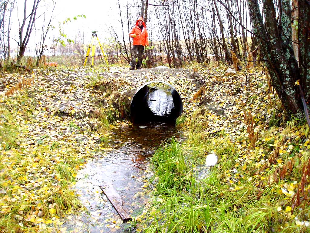
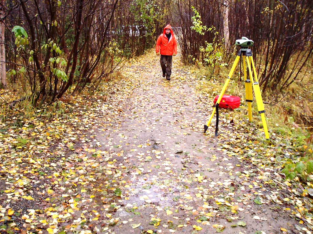
Fish Passage Site 20501056
Coordinates (dec. deg.): 61.59986°, -149.69225°
Legal Description: S018N002W32
Region: South Central
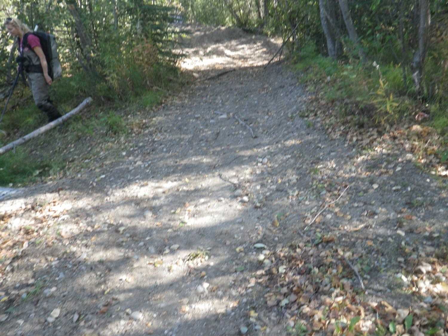
Road Name: ATV Trail
Datum: NAD83
Quad Name / ITM: Anchorage C-8
AWC Stream #:
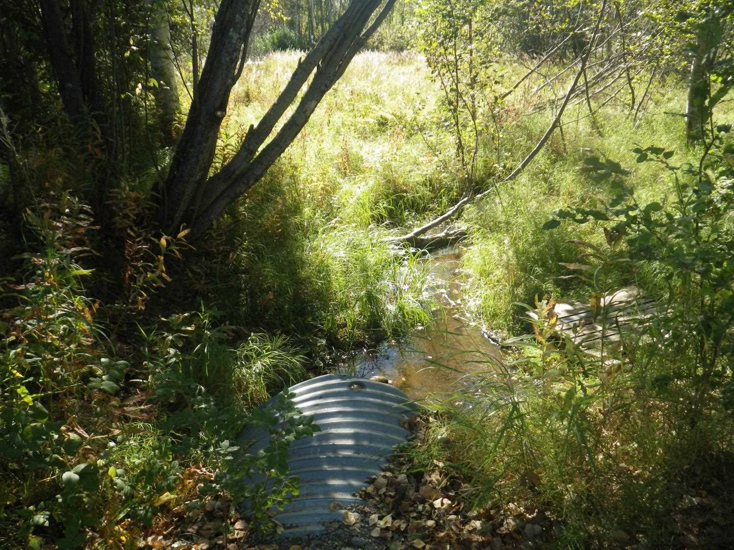
Stream Name: Laylen Lake Outlet
Elevation:
Site Comments: Site is upstream from 20501057 (Skyview and Carorsel way)
Survey MSB04-ML030
Observers: Gary Greenberg, I S
Overall Fish Passage Rating:
Tidal: No
Backwatered: Yes
Step Pools:
Construction Year:
Comments: Updated site photos and fish capture information from 9/1/16 site visit from Sampling Unmapped Streams in the MSB project.
Culvert Measurements
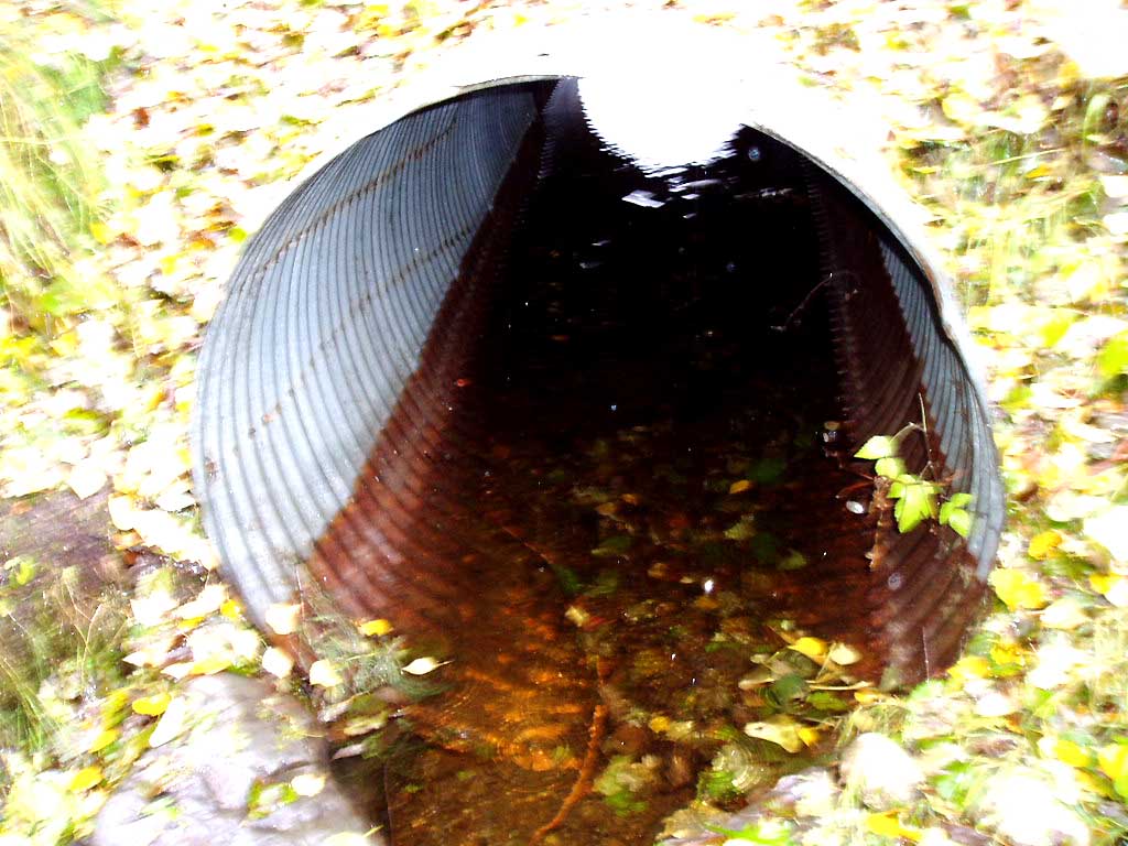
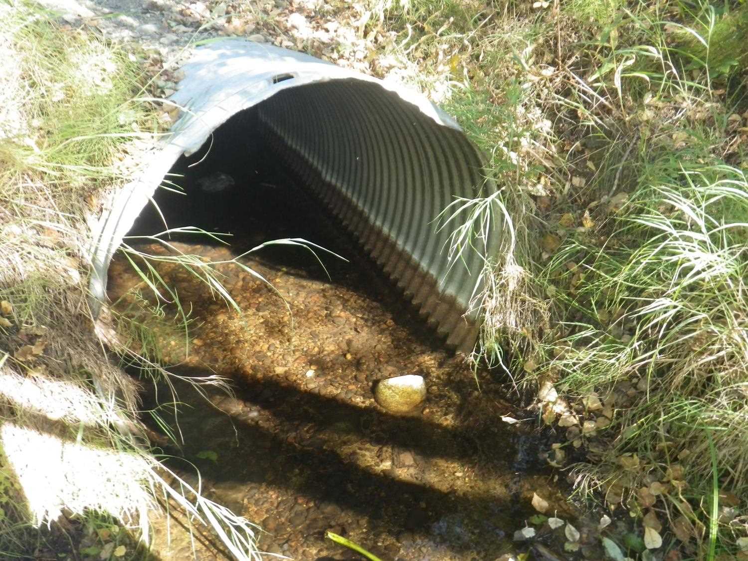
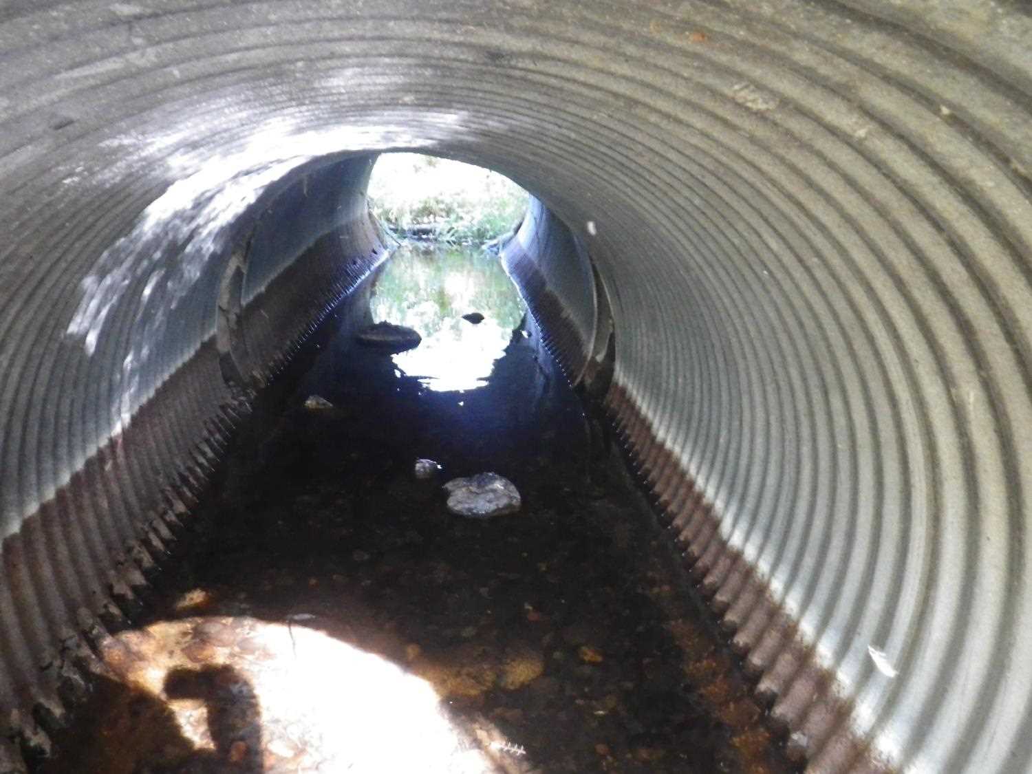
| ID: 1 | Structure Type: Circular pipe (Corrugated Metal) | Fish Passage Rating: | |||||||||||||||||||||||||||||||||||||||||
|
|
|
|||||||||||||||||||||||||||||||||||||||||
Stream Measurements
|
|
| Stream Width Type | Distance From Crossing (ft) |
Stream Width (ft) |
|---|---|---|
| Upstream bed width | 75.0 | 4.80 |
| Upstream bed width | 100.0 | 4.70 |
| Upstream bed width | 125.0 | 5.20 |
| Upstream ordinary high water | 75.0 | 5.60 |
| Upstream ordinary high water | 100.0 | 5.30 |
| Upstream ordinary high water | 125.0 | 6.40 |
Elevations
| Locator ID | Culvert Number |
River Distance (ft)1 |
Distance From Crossing (ft)2 |
Relative Elevation (ft) |
|---|---|---|---|---|
| OHW Left Bank | 96.55 | |||
| OHW Left Bank | 96.57 | |||
| D/S Tailcrest or 1st Thalweg | 0.00 | 14.5 | 96.24 | |
| Max Pool Depth | 10.50 | 4.0 | 96.12 | |
| D/S Thalweg | 10.50 | 4.0 | 96.12 | |
| Outlet Invert | 1 | 14.50 | 0.0 | 96.15 |
| Road Elev | 25.00 | 100.04 | ||
| Inlet Culvert Invert | 1 | 35.50 | 0.0 | 96.09 |
| U/S Water Surface Elev | 1 | 40.20 | 4.7 | 96.05 |
| U/S Thalweg | 1 | 43.50 | 8.0 | 95.81 |
Notes:
- River distance is measured continuously throughout the survey reach along the thalweg of the stream.
- Measured from each end of the crossing along the thalweg of the stream.
Fish Sampling Efforts
No fish sampling occurred during this survey.
Fish Observations
No fish observations occurred during this survey.
Photos


Questions or comments about this report can be directed to dfg.dsf.webmaster@alaska.gov