Fish Passage Site 20501054
Coordinates (dec. deg.): 61.61229°, -149.64629°
Legal Description: S018N002W33
Region: South Central
Road Name: North Meadow Lakes Road
Datum: NAD83
Quad Name / ITM: Anchorage C-8
AWC Stream #:
Stream Name:
Elevation:
Site Comments: Old site ID ML028
arrow to the right of the survey date below to choose a different report for this site.
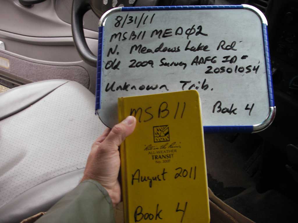
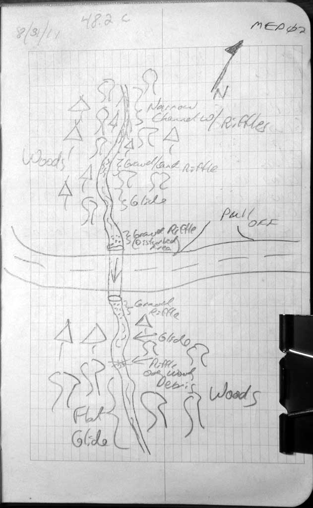
Survey MSB11-MED02
Project Supervisor: Gillian O'Doherty, Alaska Department of Fish and Game
— Anchorage, AK
Observers: John Greuey, Abraham Gioffre
Overall Fish Passage Rating:
Tidal: No
Backwatered: No
Step Pools: No
Construction Year: 2010
Site Observations:
- None of this type
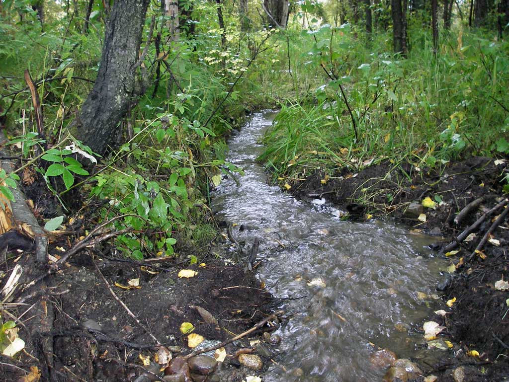
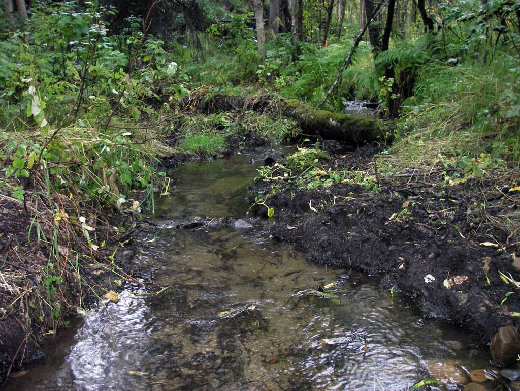
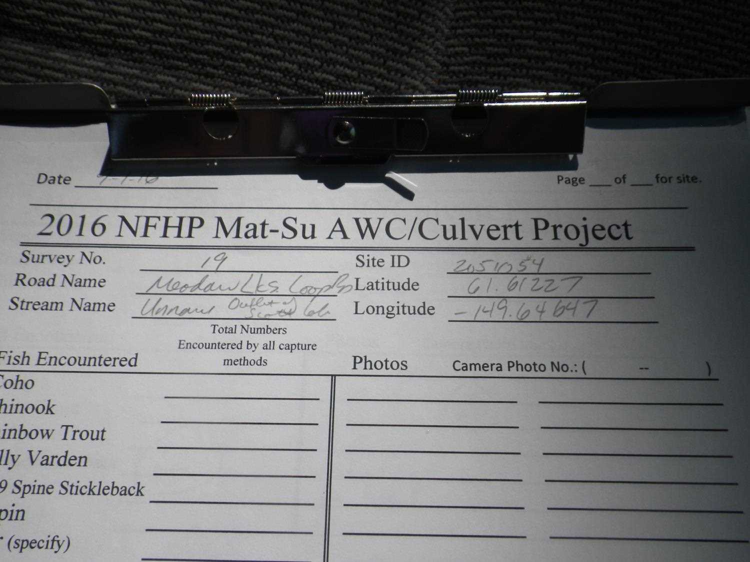
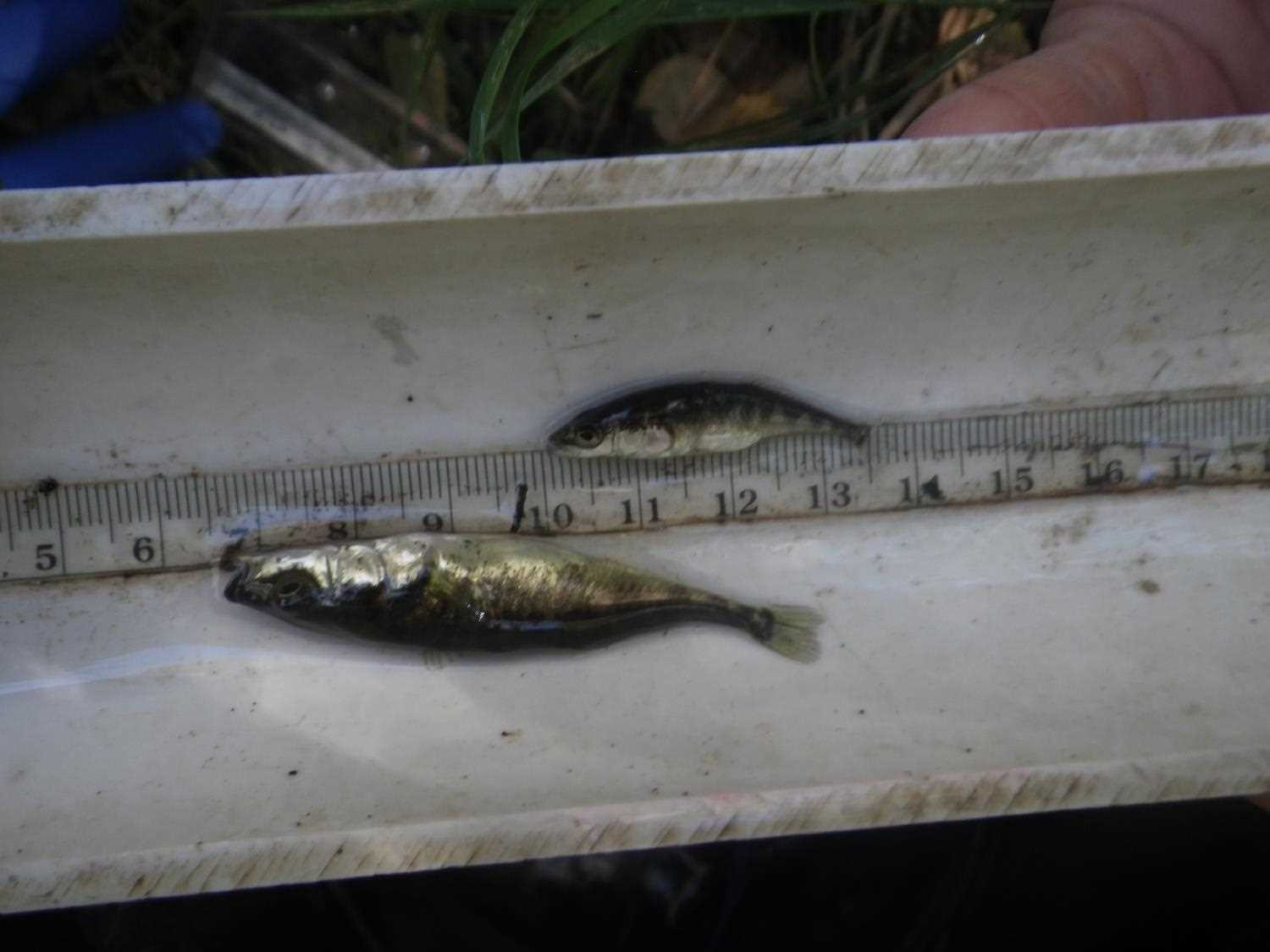
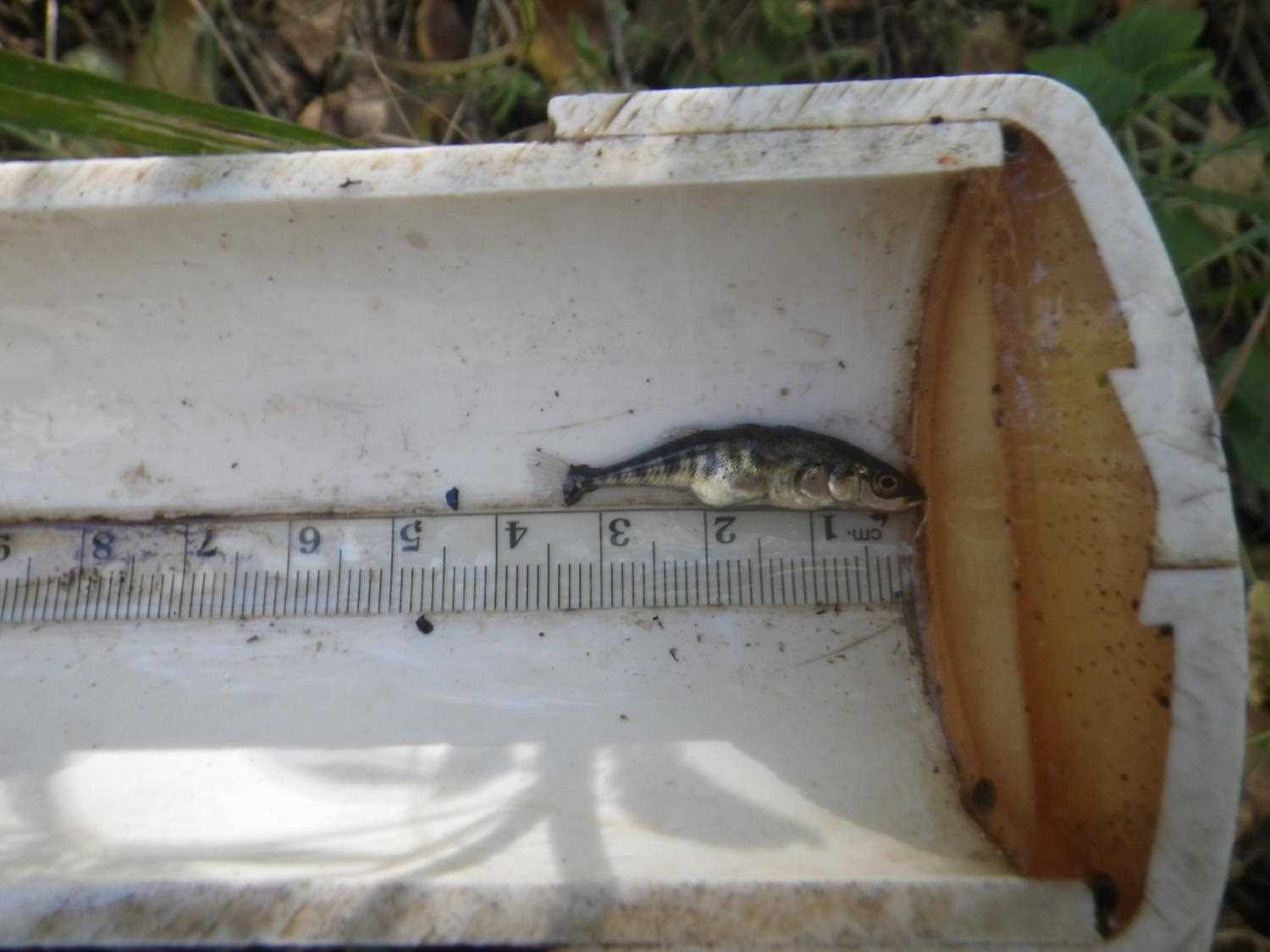
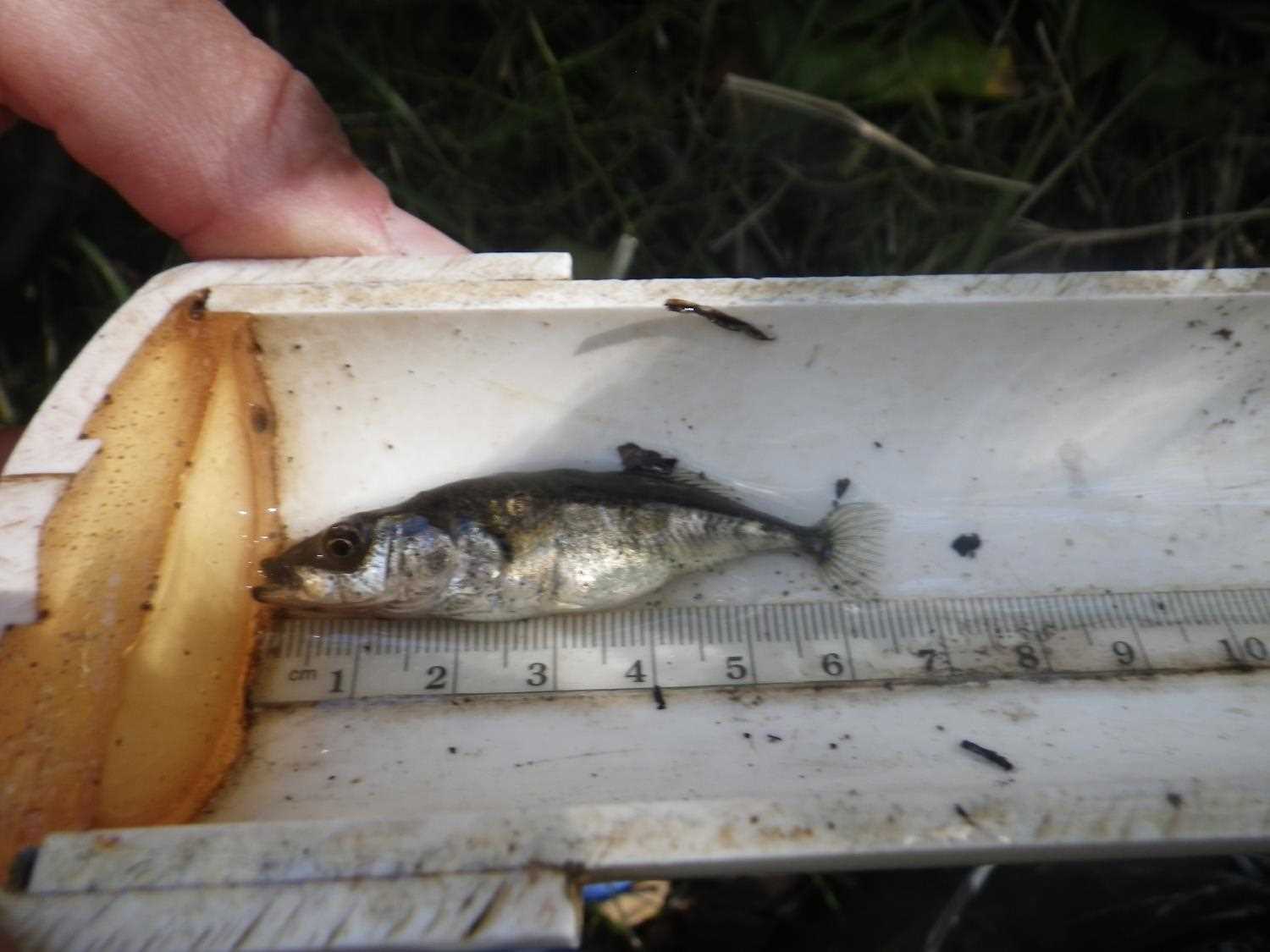
Comments: Updated site photos and fish capture information added from 9/1/16 site visit from the Sampling Unmapped Streams in the MSB project.
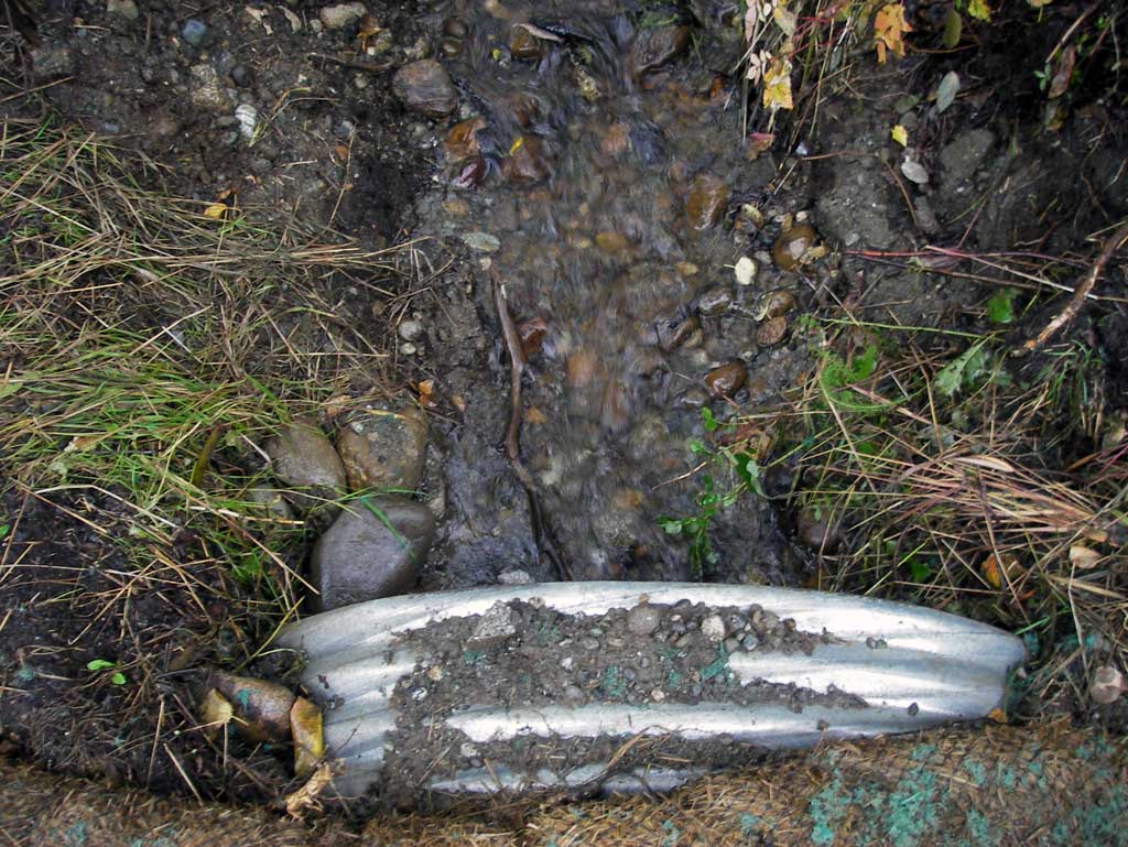
Culvert Measurements
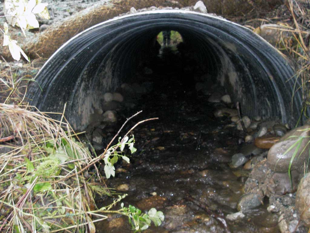
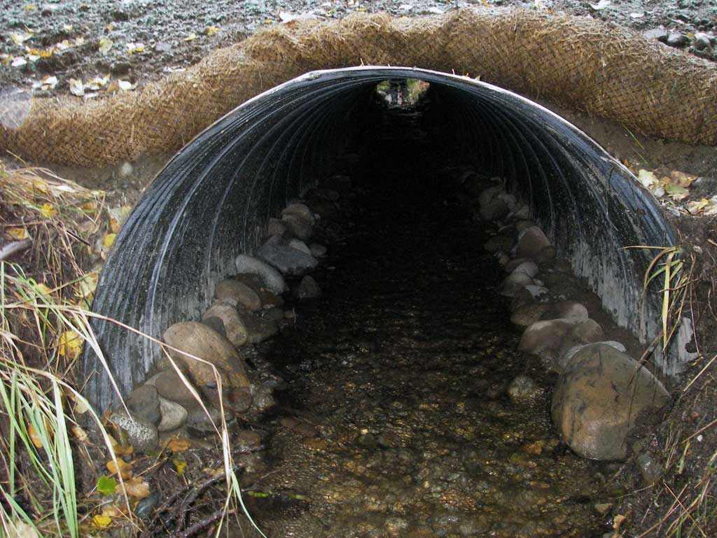
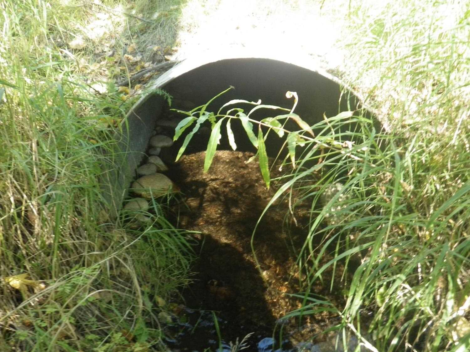
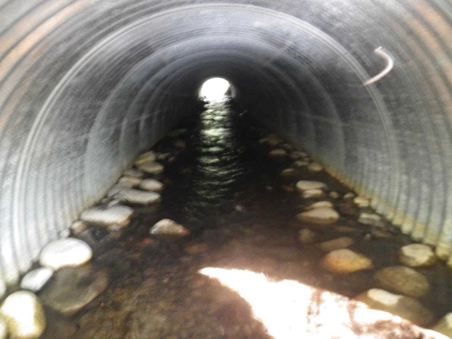
| ID: 1 | Structure Type: Circular pipe (Corrugated steel) | Fish Passage Rating: | ||||||||||||||||||||||||||||||||||||||||||
|
|
|
||||||||||||||||||||||||||||||||||||||||||
Culvert Observations:
|
||||||||||||||||||||||||||||||||||||||||||||
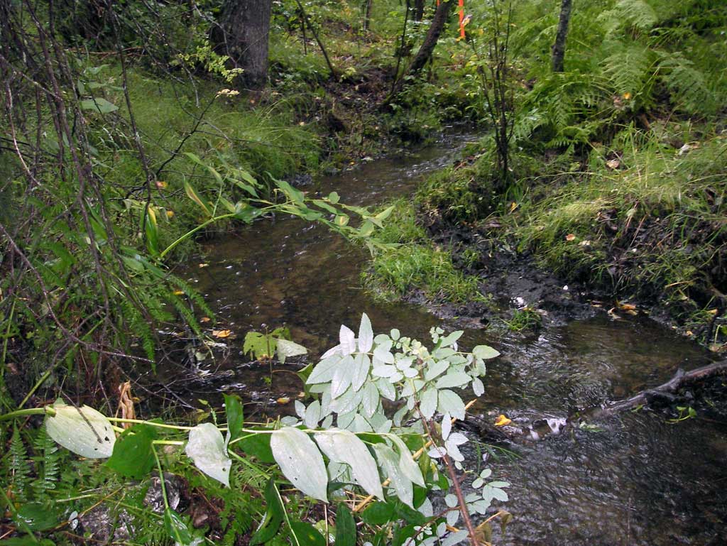
Stream Measurements
|
|
| Stream Width Type | Distance From Crossing (ft) |
Stream Width (ft) |
|---|---|---|
| Downstream ordinary high water | 37.0 | 2.90 |
| Downstream ordinary high water | 78.0 | 4.00 |
| Downstream ordinary high water | 120.0 | 3.60 |
Elevations
| Locator ID | Culvert Number |
River Distance (ft)1 |
Distance From Crossing (ft)2 |
Relative Elevation (ft) |
|---|---|---|---|---|
| D/S Water Surface Elev (water surface for gradient) | 0.00 | 95.55 | ||
| D/S Water Surface Elev | 51.00 | 96.60 | ||
| D/S Water Surface Elev (water surface for gradient) | 75.00 | 96.80 | ||
| D/S Grade Ctrl (Thalweg) (grade pt at top of riffle) | 75.00 | 96.53 | ||
| D/S Grade Ctrl (Thalweg) (grade pt a top of riffle) | 94.00 | 97.30 | ||
| D/S Water Surface Elev | 94.00 | 97.50 | ||
| D/S Water Surface Elev (outlet water surface) | 100.00 | 97.51 | ||
| Outlet Invert (on substrate) | 100.00 | 97.40 | ||
| Outlet Culvert Top | 100.00 | 100.00 | ||
| Road Elev | 124.00 | 103.05 | ||
| Inlet Culvert Top | 148.20 | 101.21 | ||
| Inlet Culvert Invert (on substrate) | 148.20 | 98.80 | ||
| U/S Water Surface Elev (inlet water surface) | 148.20 | 98.98 | ||
| U/S Grade Ctrl (Thalweg) (grade pt at top of riffle) | 158.20 | 99.48 | ||
| U/S Water Surface Elev | 158.20 | 99.71 | ||
| U/S Water Surface Elev | 178.20 | 99.92 | ||
| U/S Grade Ctrl (Thalweg) (grade pt at top of riffle) | 178.20 | 99.70 |
Notes:
- River distance is measured continuously throughout the survey reach along the thalweg of the stream.
- Measured from each end of the crossing along the thalweg of the stream.
Fish Sampling Efforts
No fish sampling occurred during this survey.
Fish Observations
No fish observations occurred during this survey.
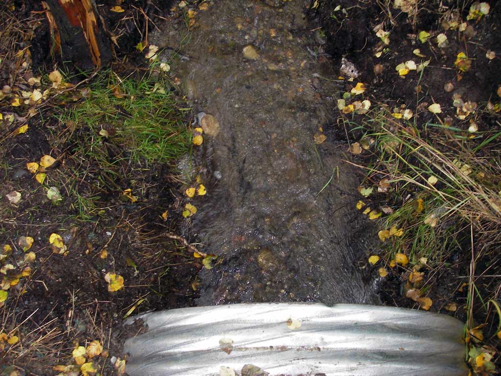
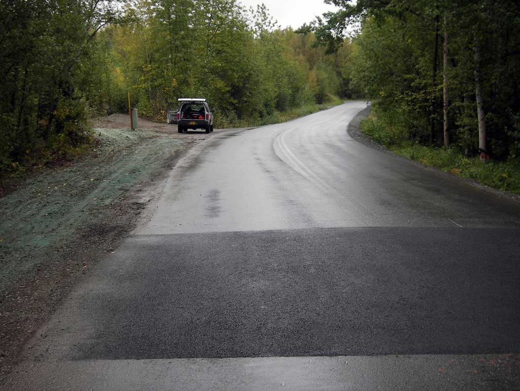
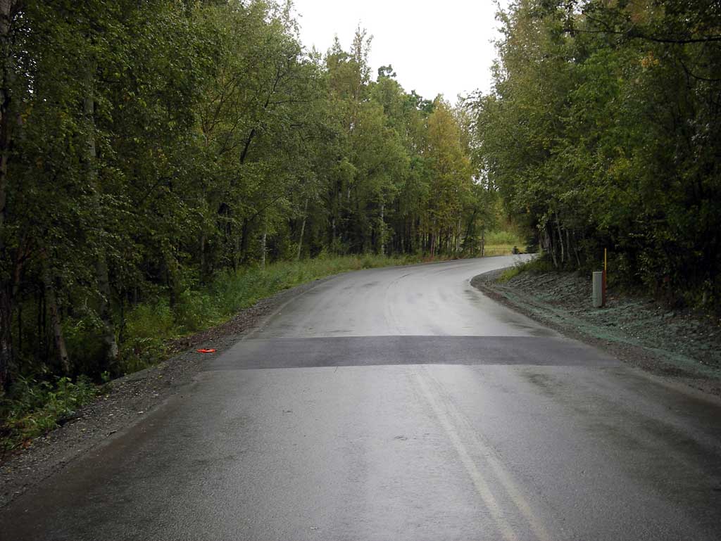
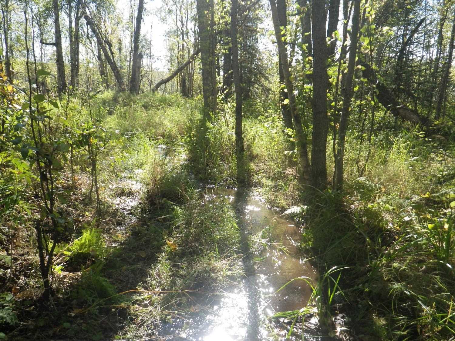
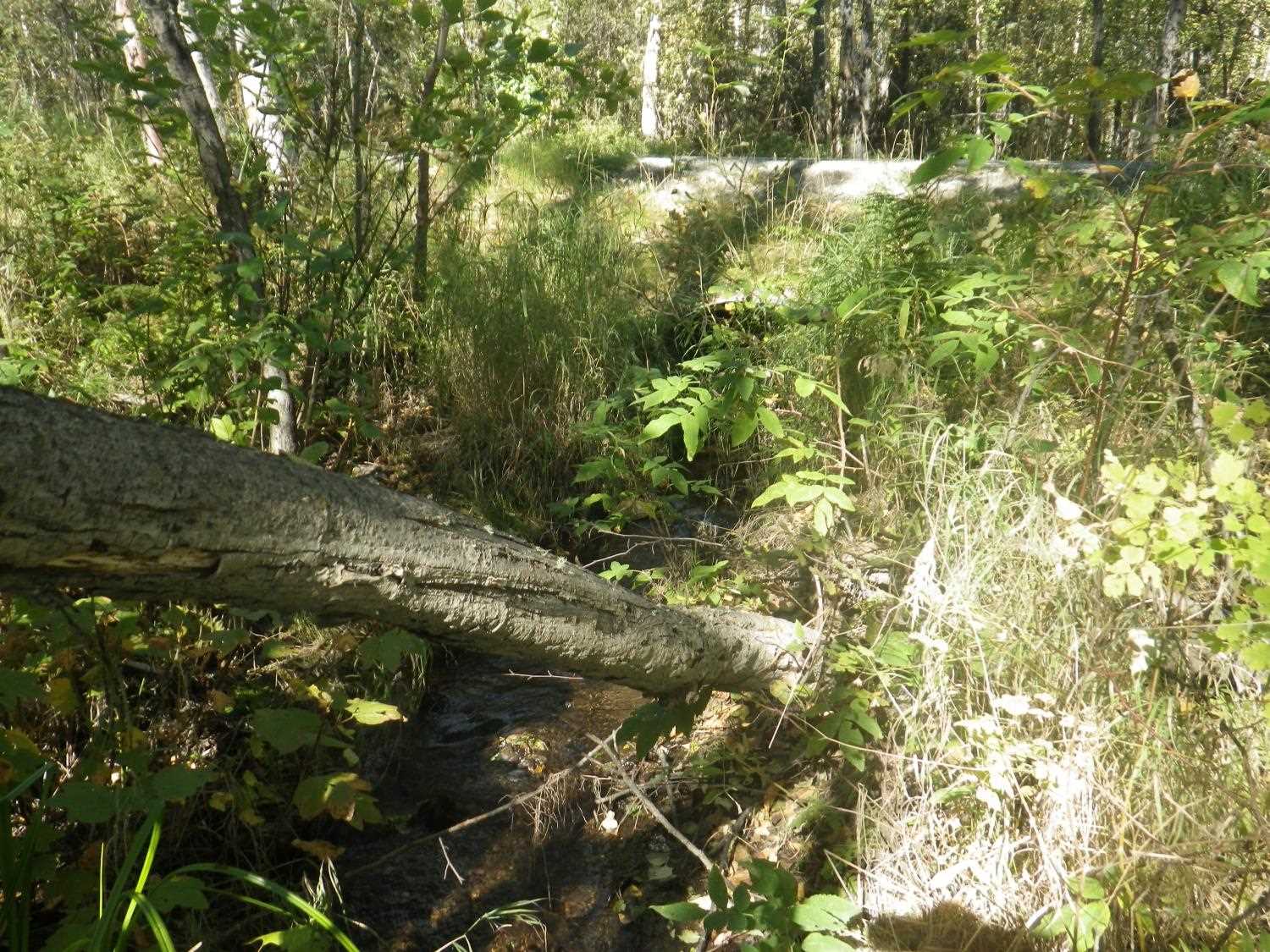
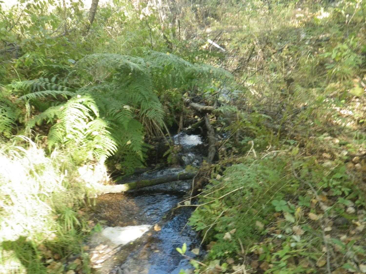
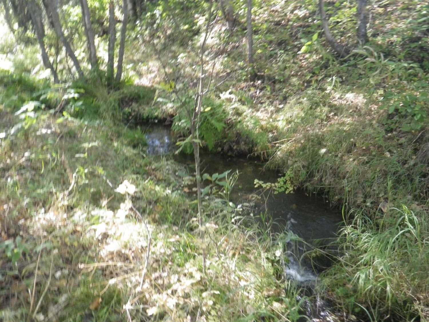
Photos

Questions or comments about this report can be directed to dfg.dsf.webmaster@alaska.gov