Fish Passage Site 20501037
Coordinates (dec. deg.): 61.66375°, -149.33495°
Legal Description: S018N001E07
Region: South Central
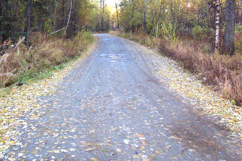
Road Name: North Welsh Way
Datum: NAD83
Quad Name / ITM: Anchorage C-7
AWC Stream #: 247-41-10100-2332
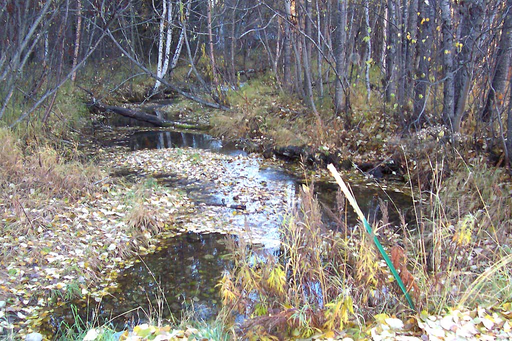
Stream Name: Unnamed
Elevation:
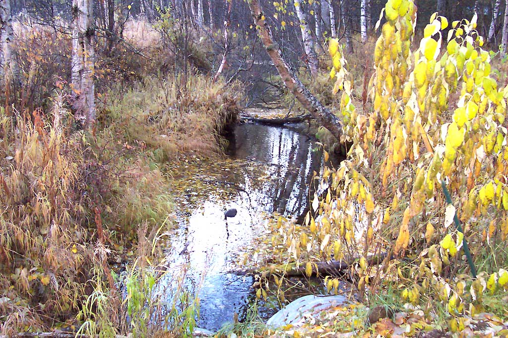
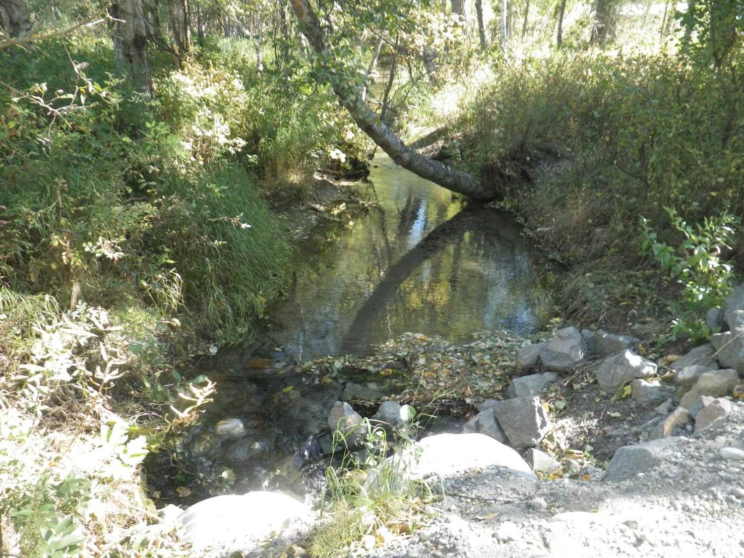
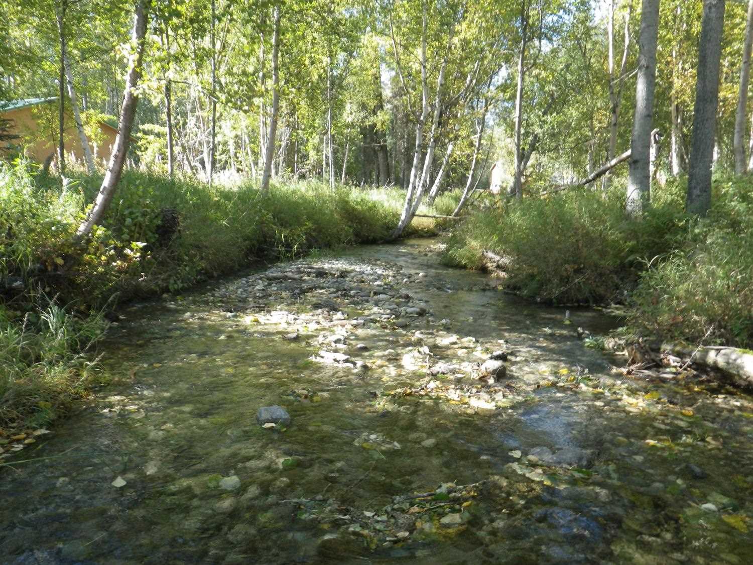
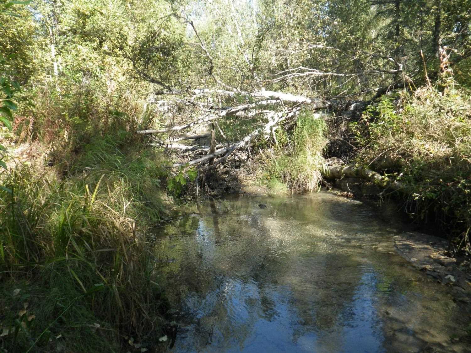
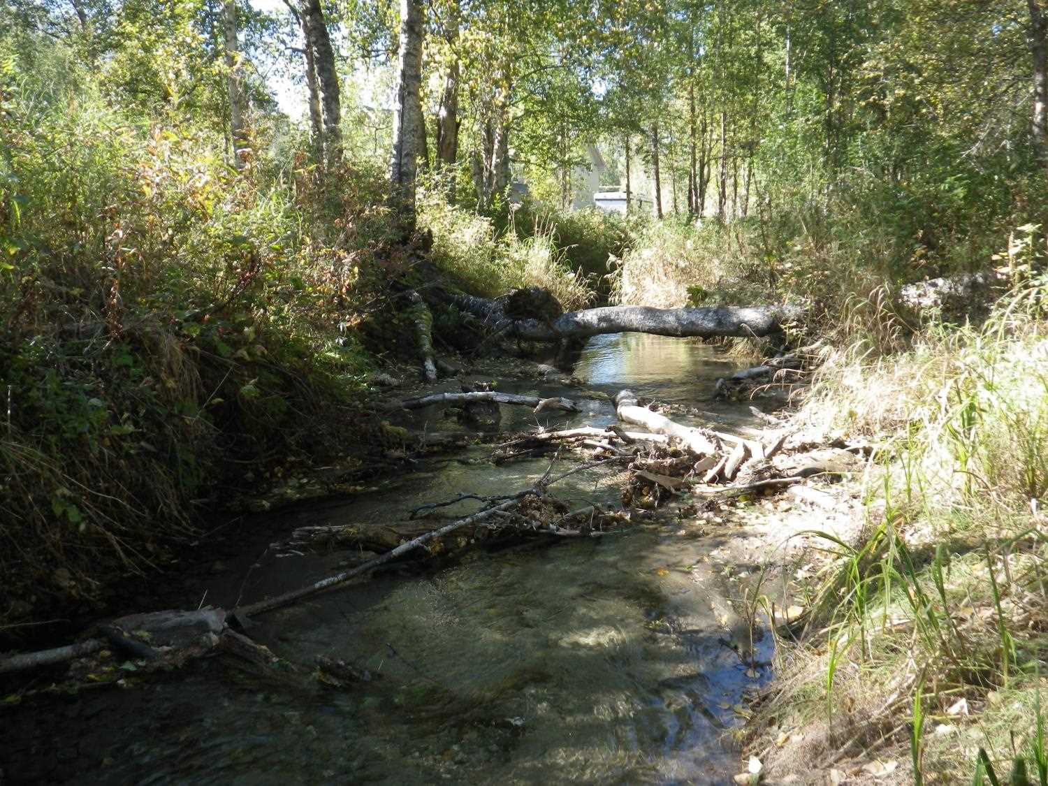
Site Comments: Creek is a side channel to the Little Susitna River
arrow to the right of the survey date below to choose a different report for this site.
Survey MSB04-ML011
Observers: Gary Greenberg, K J
Overall Fish Passage Rating:
Tidal: No
Backwatered: Yes
Step Pools:
Construction Year:
Site Observations:
- Hydraulic flows exceeded capacity
- Culvert gradient gray
- Culvert gradient red
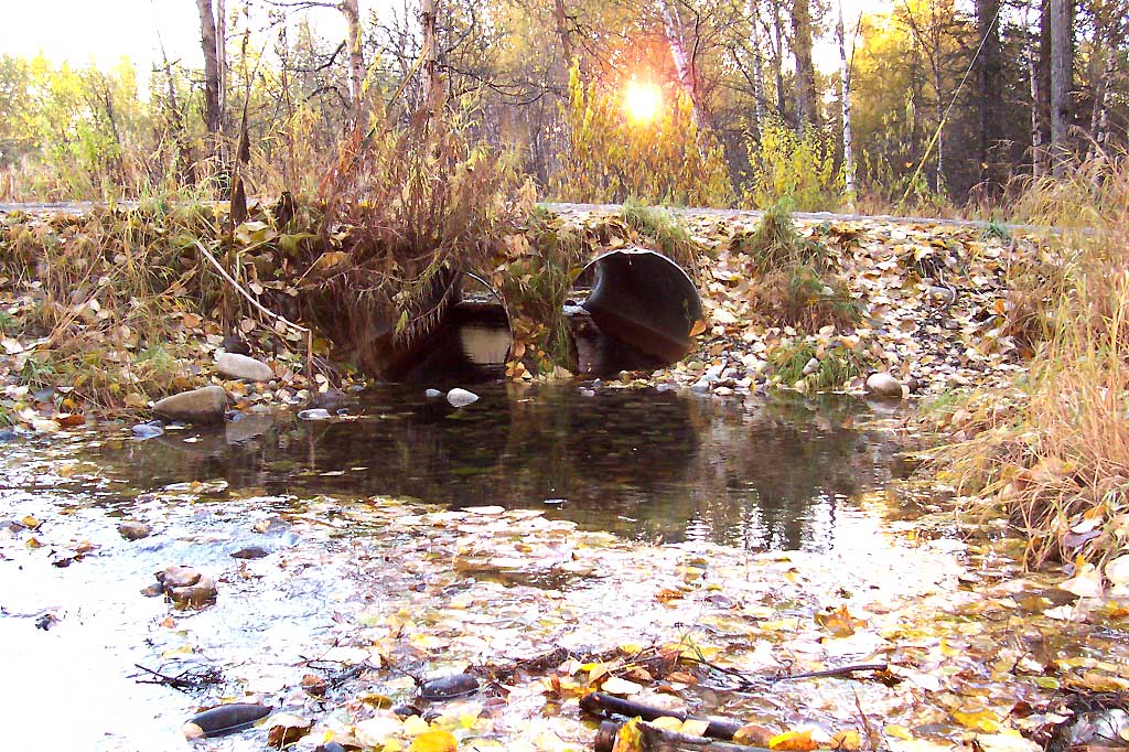
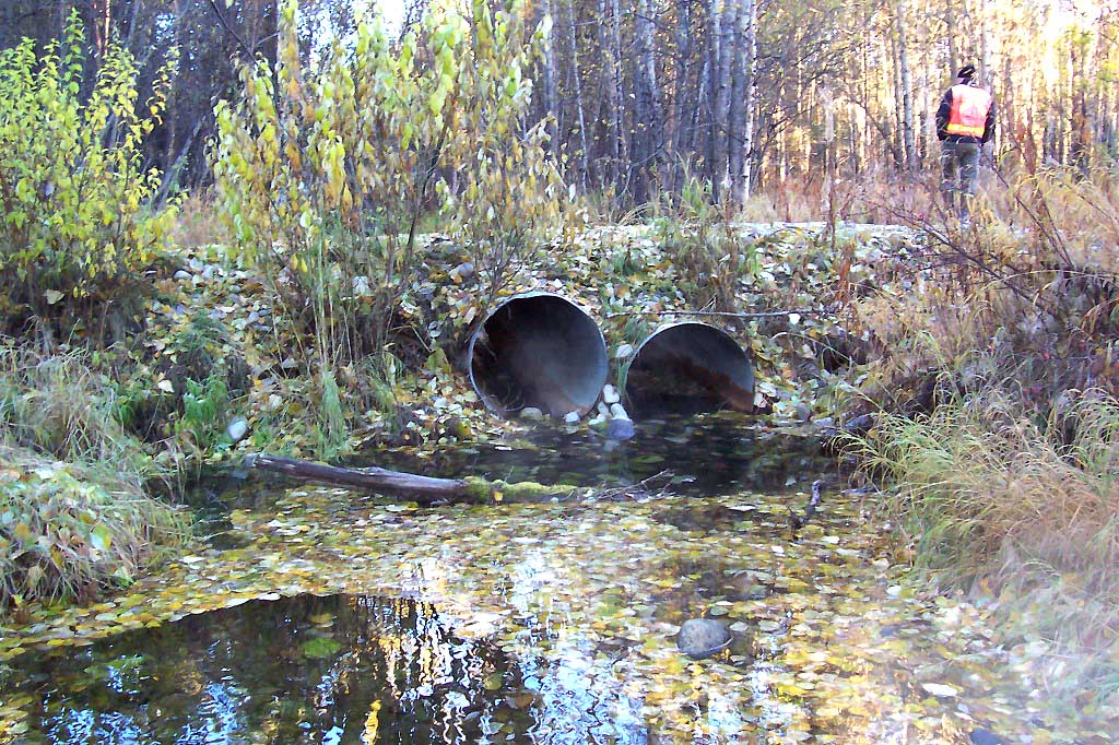
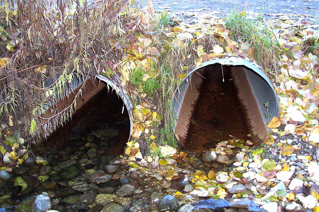
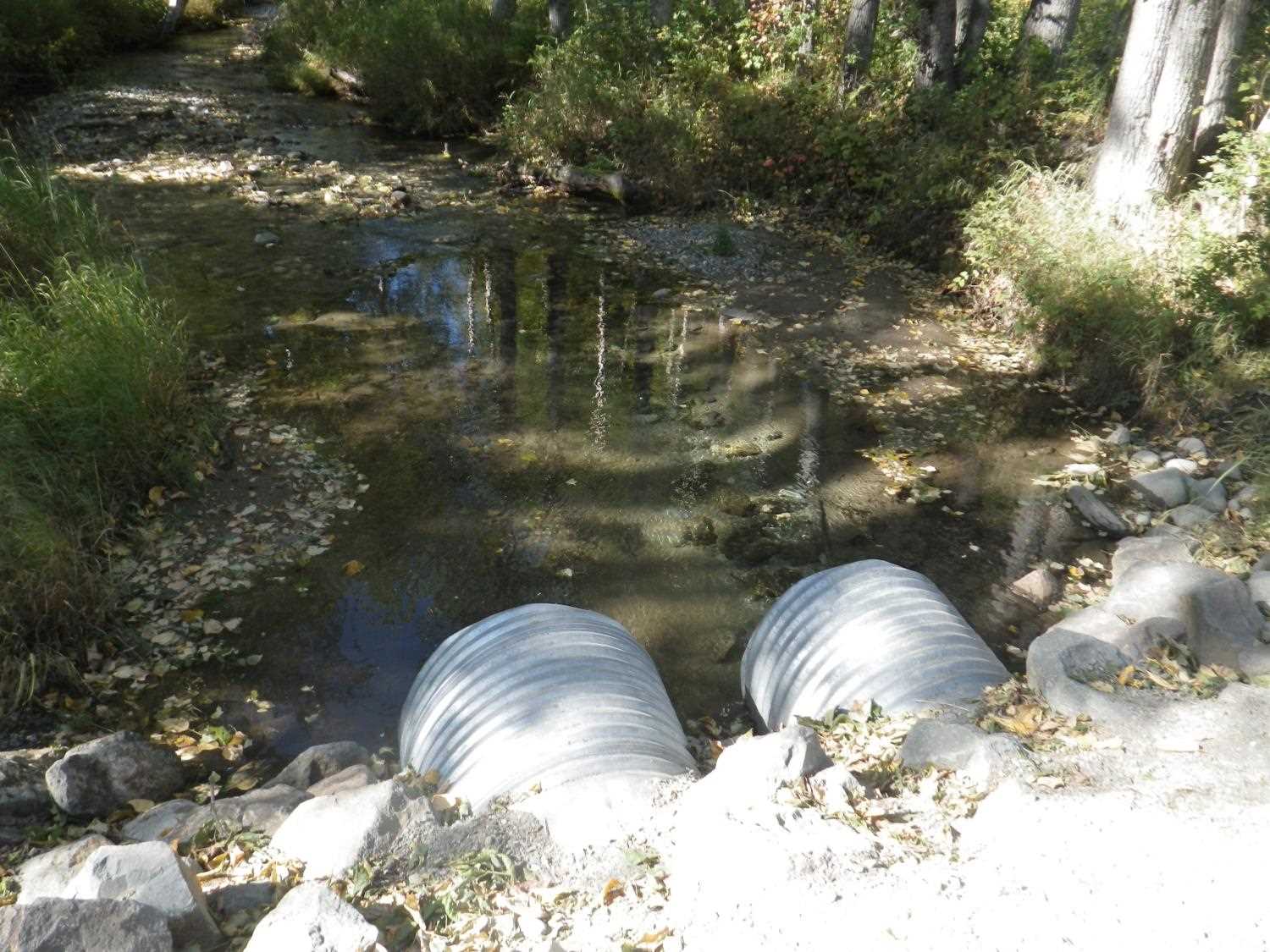
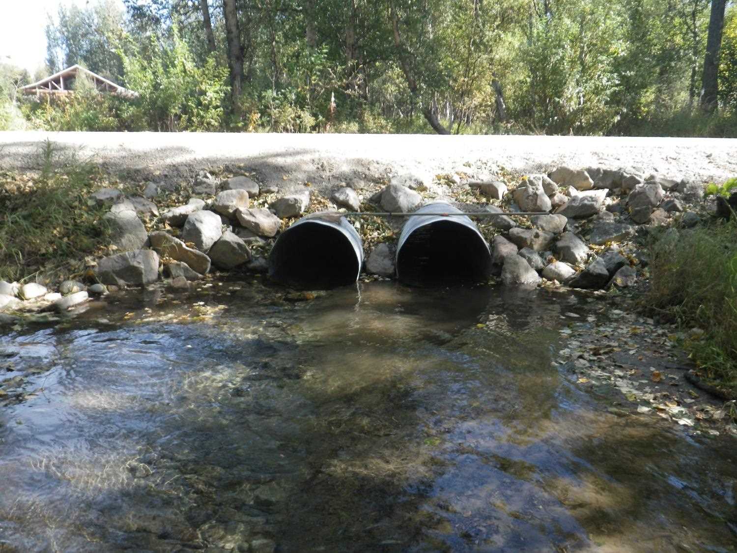
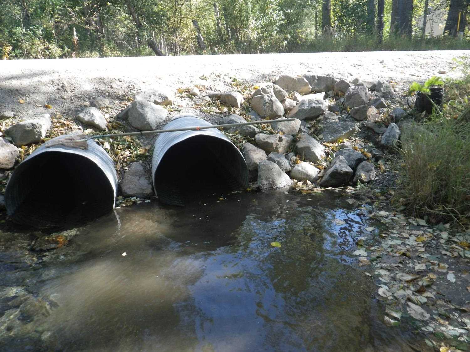
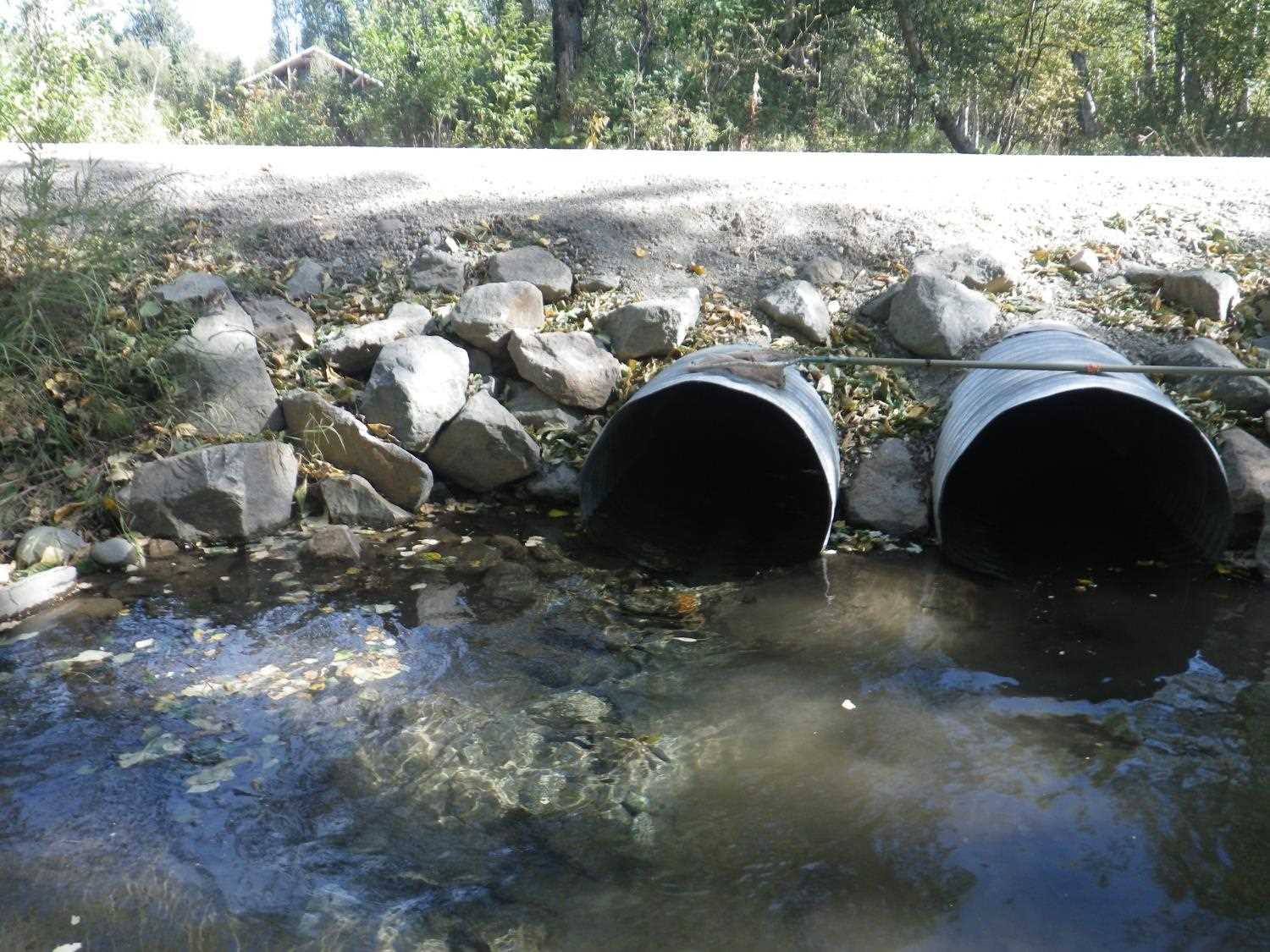
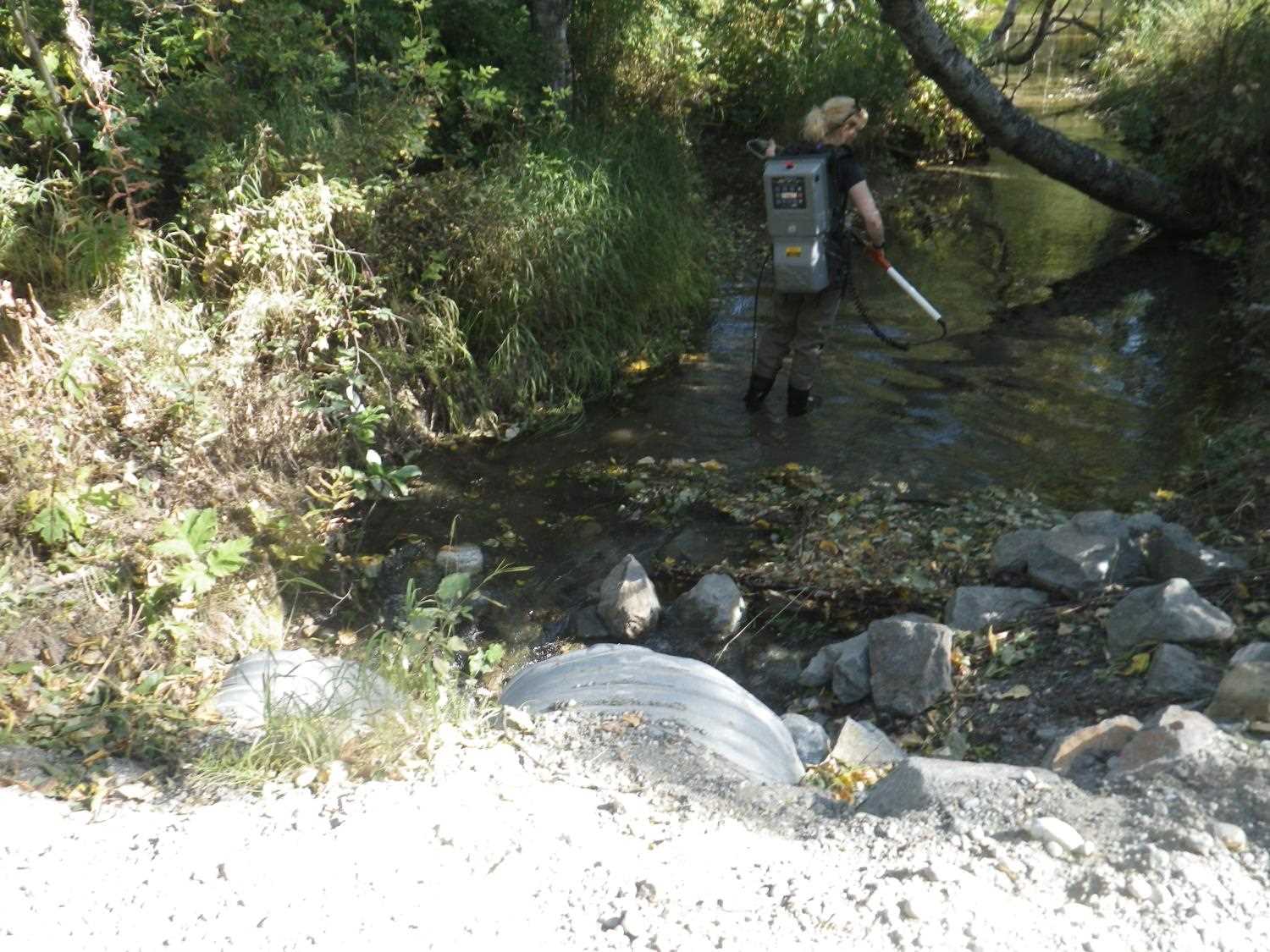
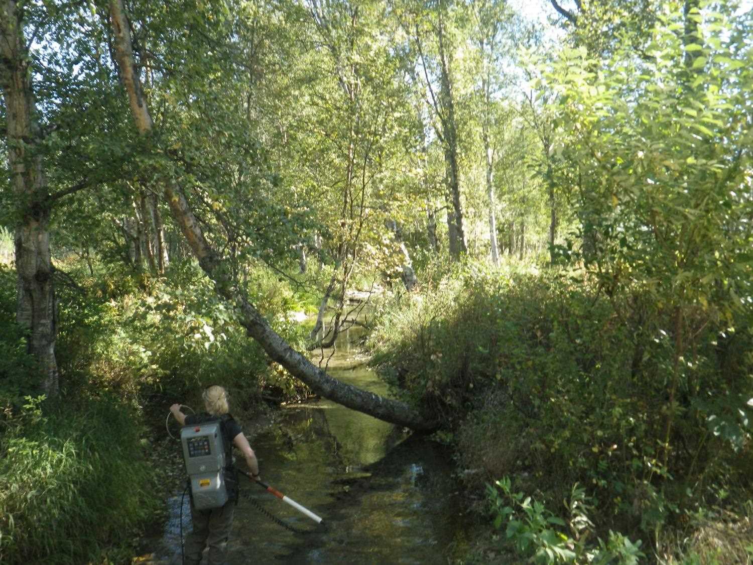
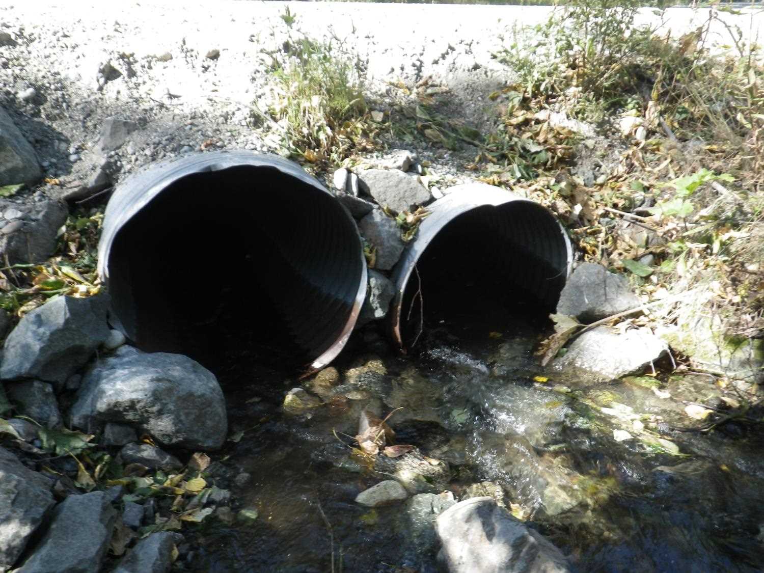
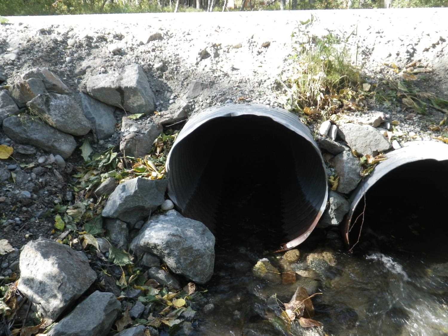
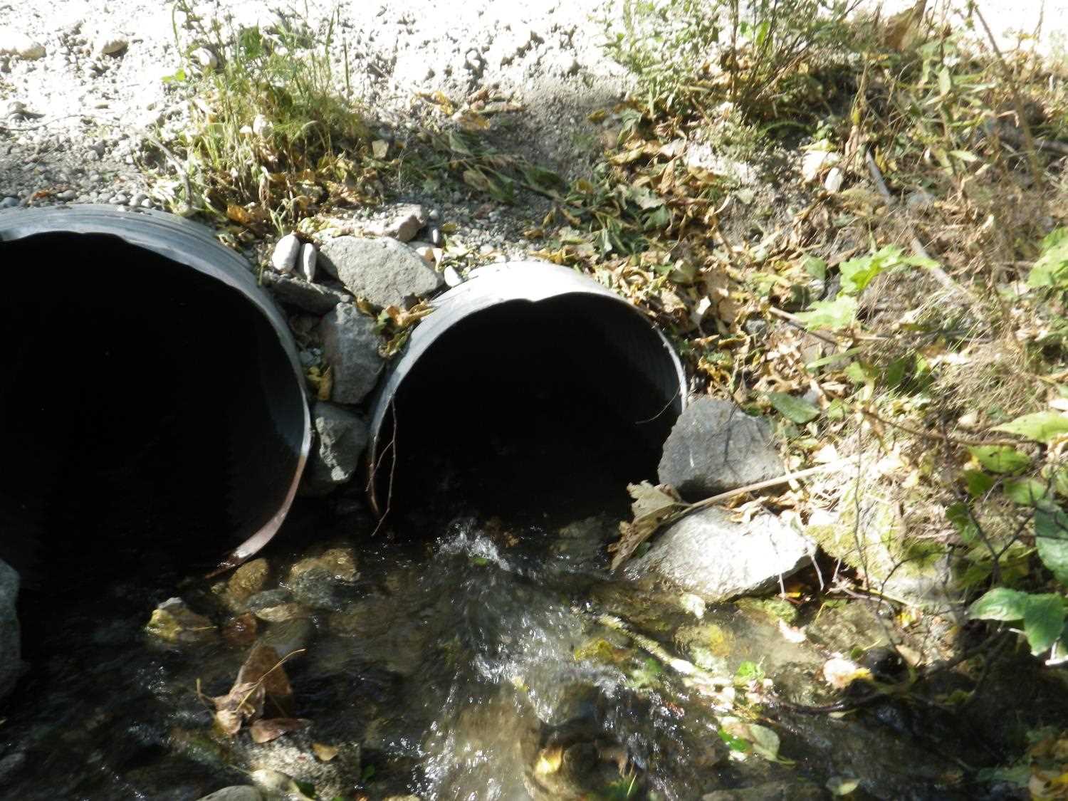
Comments: Updated site photos from 8/31/16 site visit from the Sampling Unmapped Streams in the MSB project. Fish information from 8.31.16 site visit entered into AFFI. Looks like the road has been upgraded since the 2004 site assessment and additional lengths of culvert added at the outlets.
Culvert Measurements
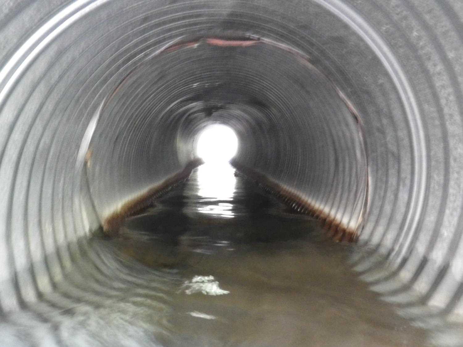
| ID: 1 | Structure Type: Circular pipe (Corrugated Metal) | Fish Passage Rating: | |||||||||||||||||||||||||||||||||||||||||
|
|
|
|||||||||||||||||||||||||||||||||||||||||
Culvert Observations:
|
|||||||||||||||||||||||||||||||||||||||||||
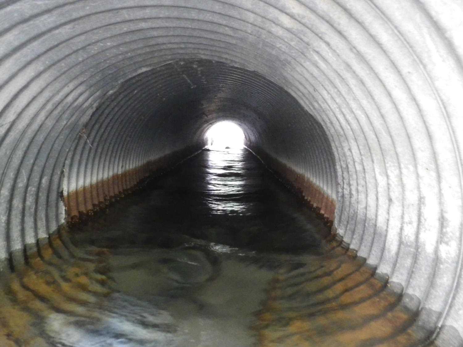
| ID: 2 | Structure Type: Circular pipe (Corrugated Metal) | Fish Passage Rating: | |||||||||||||||||||||||||||||||||||||||||
|
|
|
|||||||||||||||||||||||||||||||||||||||||
Culvert Observations:
|
|||||||||||||||||||||||||||||||||||||||||||
Stream Measurements
|
|
| Stream Width Type | Distance From Crossing (ft) |
Stream Width (ft) |
|---|---|---|
| Upstream bed width | 75.0 | 14.00 |
| Upstream bed width | 100.0 | 16.80 |
| Upstream bed width | 125.0 | 16.10 |
| Upstream bed width | 150.0 | 15.80 |
| Upstream ordinary high water | 75.0 | 14.80 |
| Upstream ordinary high water | 100.0 | 17.50 |
| Upstream ordinary high water | 125.0 | 16.70 |
| Upstream ordinary high water | 150.0 | 16.80 |
Elevations
| Locator ID | Culvert Number |
River Distance (ft)1 |
Distance From Crossing (ft)2 |
Relative Elevation (ft) |
|---|---|---|---|---|
| OHW Left Bank | 97.40 | |||
| OHW Left Bank | 97.41 | |||
| D/S Tailcrest or 1st Thalweg | 0.00 | 14.2 | 97.21 | |
| D/S Thalweg | 8.60 | 5.6 | 99.76 | |
| Max Pool Depth | 10.80 | 3.4 | 96.84 | |
| Outlet Invert | 2 | 14.20 | 0.0 | 96.85 |
| Outlet Invert | 1 | 14.20 | 0.0 | 97.10 |
| Road Elev | 29.20 | 101.70 | ||
| Inlet Culvert Invert | 1 | 44.20 | 0.0 | 97.62 |
| Inlet Culvert Invert | 2 | 44.20 | 0.0 | 97.14 |
| U/S Water Surface Elev | 2 | 48.30 | 4.1 | 97.05 |
| U/S Water Surface Elev | 1 | 48.30 | 4.1 | 97.59 |
| U/S Thalweg | 1 | 50.20 | 6.0 | 96.98 |
| U/S Thalweg | 2 | 50.20 | 6.0 | 97.01 |
Notes:
- River distance is measured continuously throughout the survey reach along the thalweg of the stream.
- Measured from each end of the crossing along the thalweg of the stream.
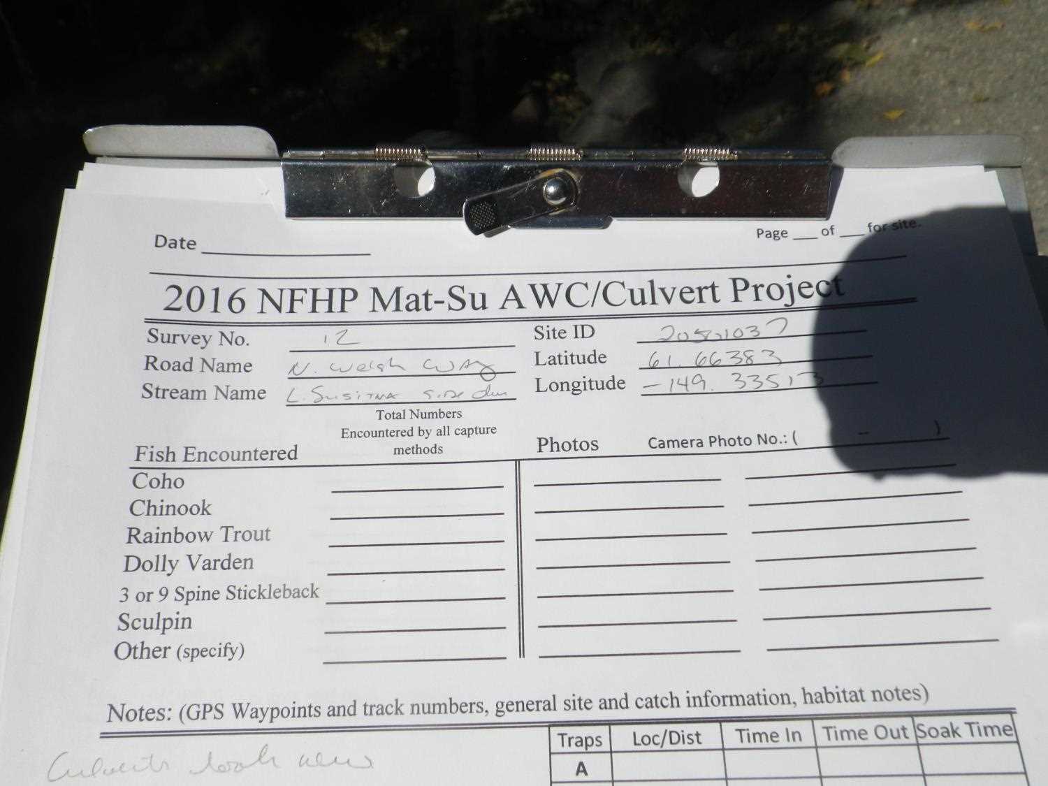
Fish Sampling Efforts
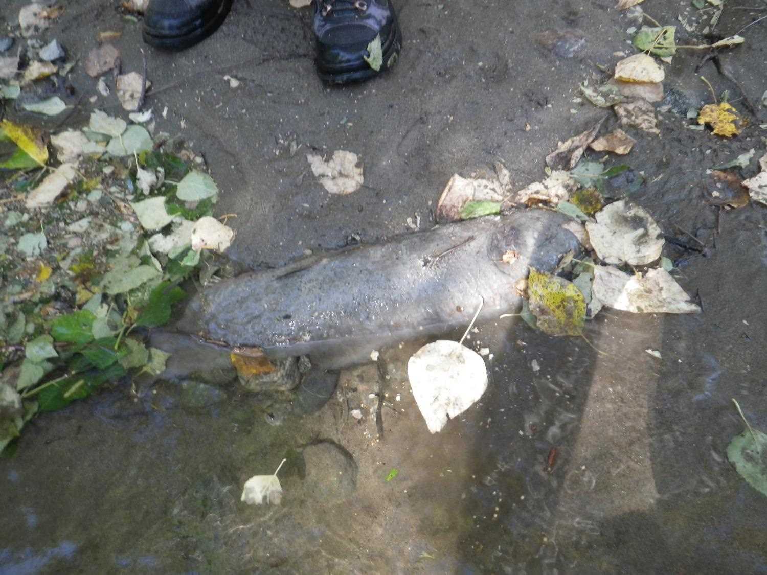
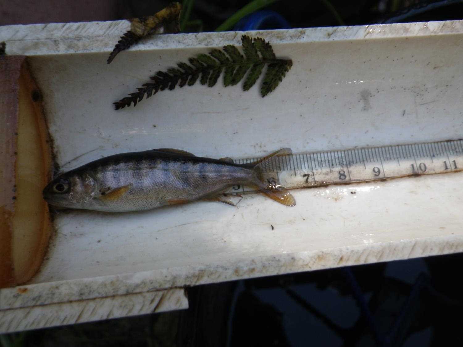
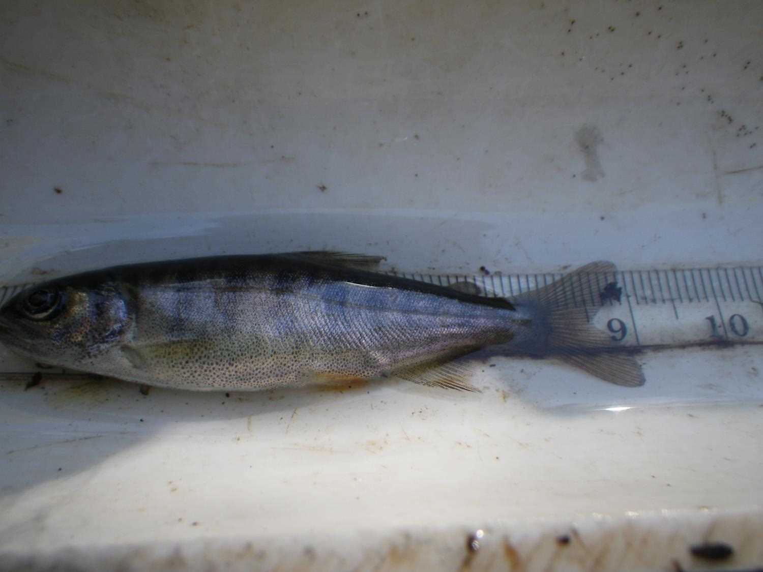
No fish sampling occurred during this survey.
Fish Observations
No fish observations occurred during this survey.
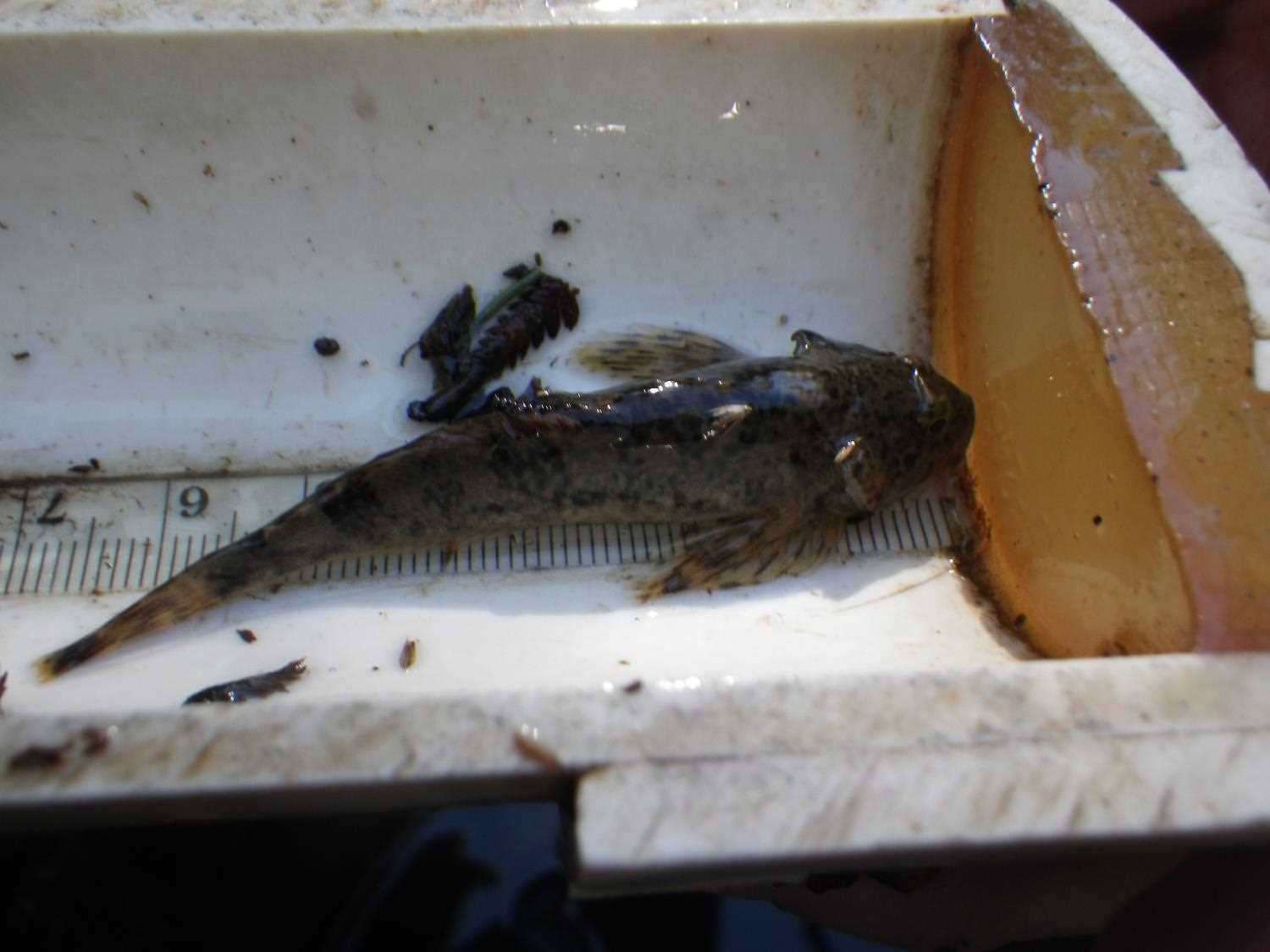
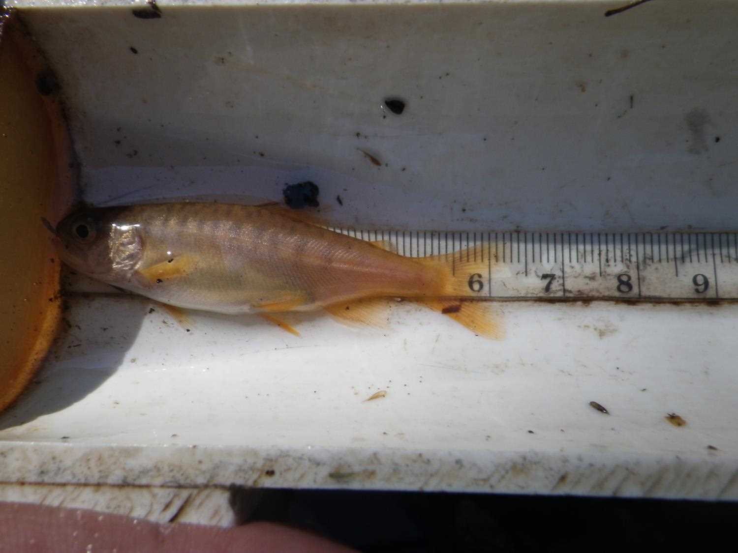
Photos


Questions or comments about this report can be directed to dfg.dsf.webmaster@alaska.gov