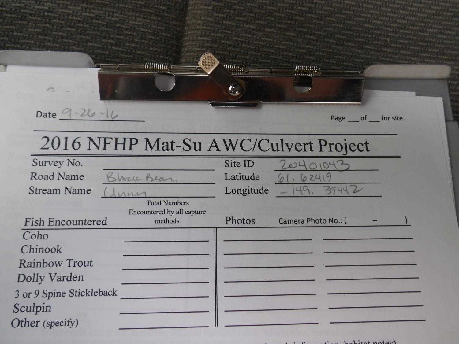
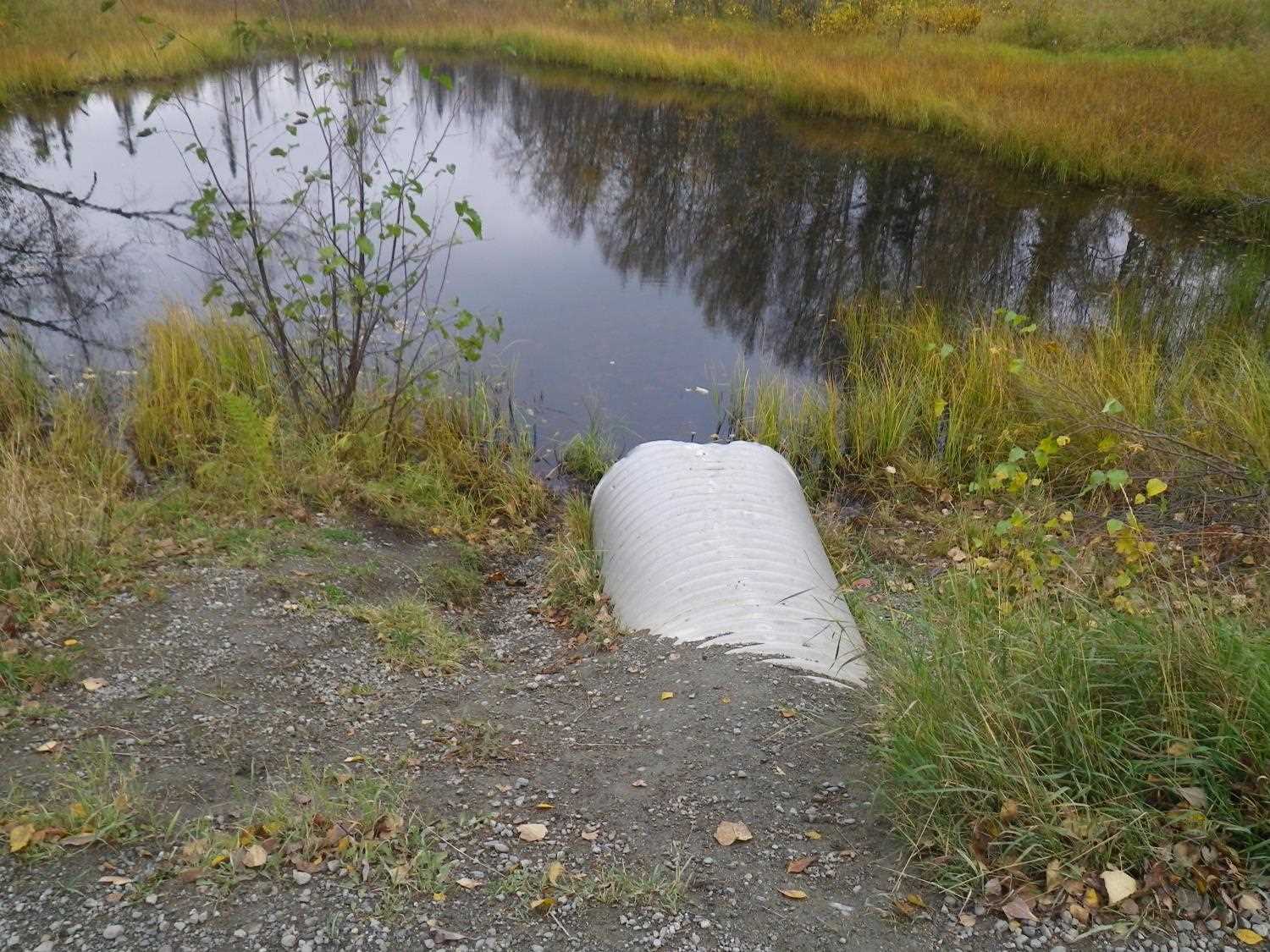
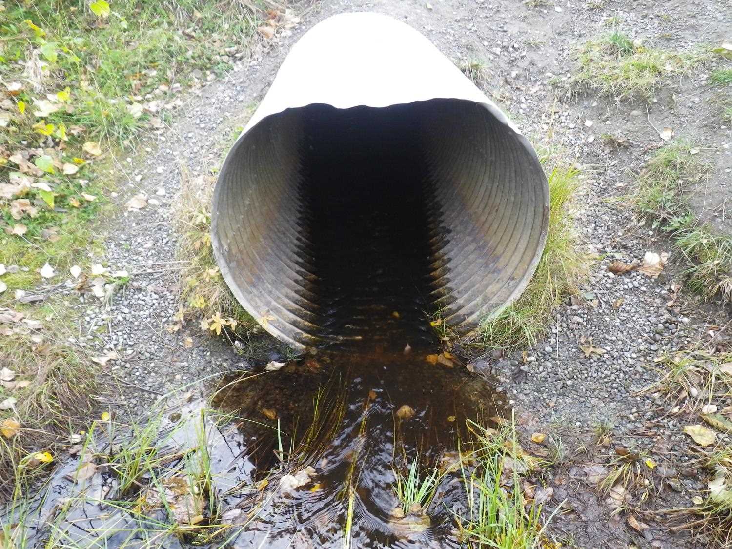
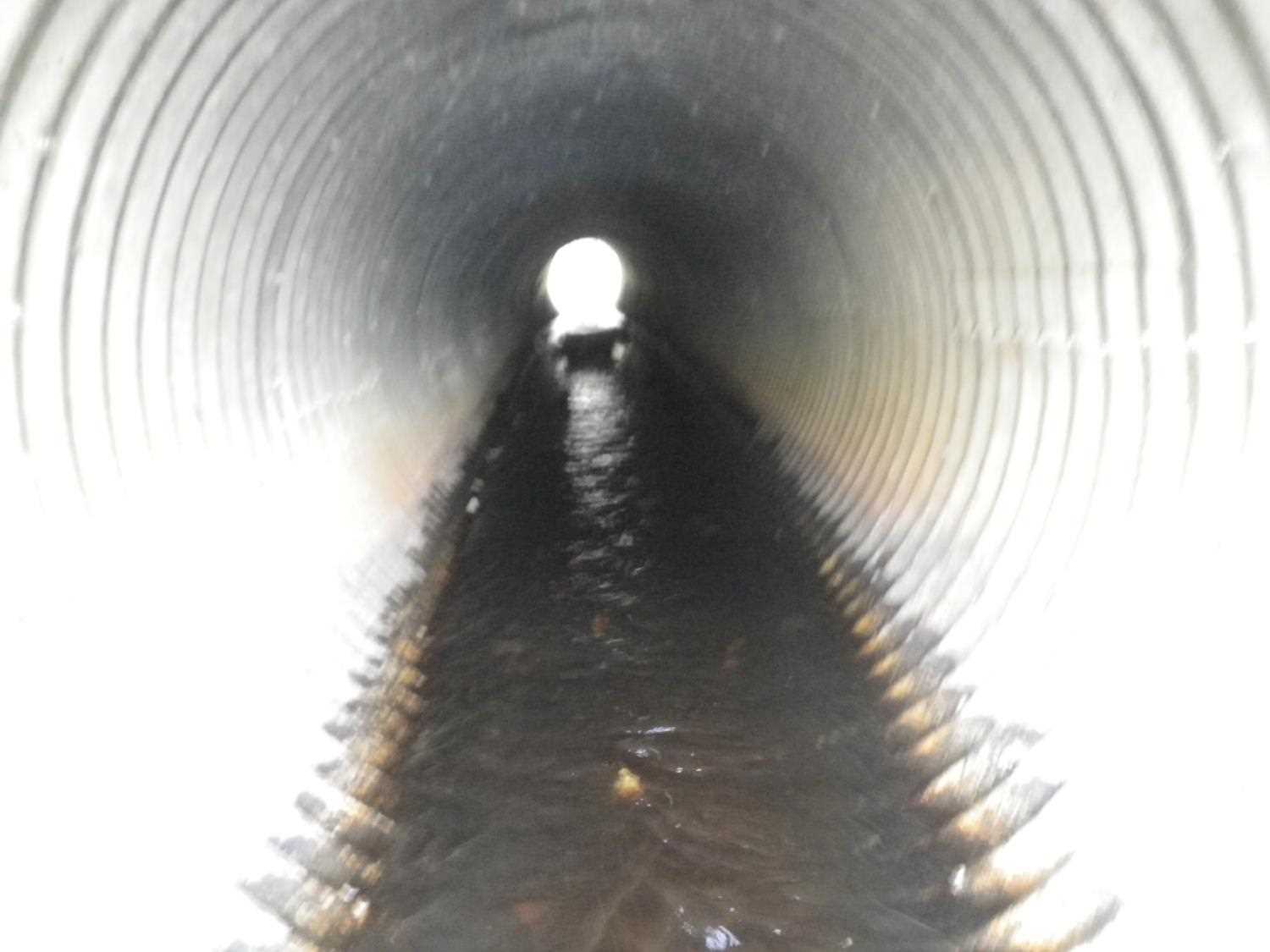
Fish Passage Site 20401043
Coordinates (dec. deg.): 61.62429°, -149.39455°
Legal Description: S018N001W26
Region: South Central
Road Name: Black Bear Drive
Datum: NAD83
Quad Name / ITM: Anchorage C-7
AWC Stream #:
Stream Name: Unnamed
Elevation:
Site Comments: None
arrow to the right of the survey date below to choose a different report for this site.
Survey MSB04-ML017
Observers: Gary Greenberg, I S
Overall Fish Passage Rating:
Tidal: No
Backwatered: No
Step Pools:
Construction Year:
Site Observations:
- Culvert gradient red
- Outfall height red
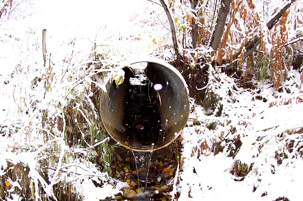
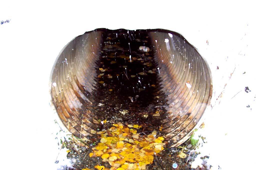
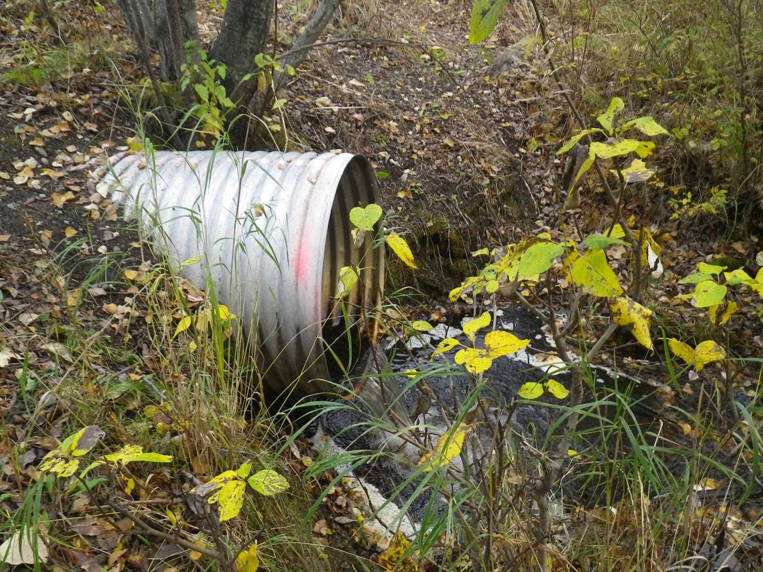
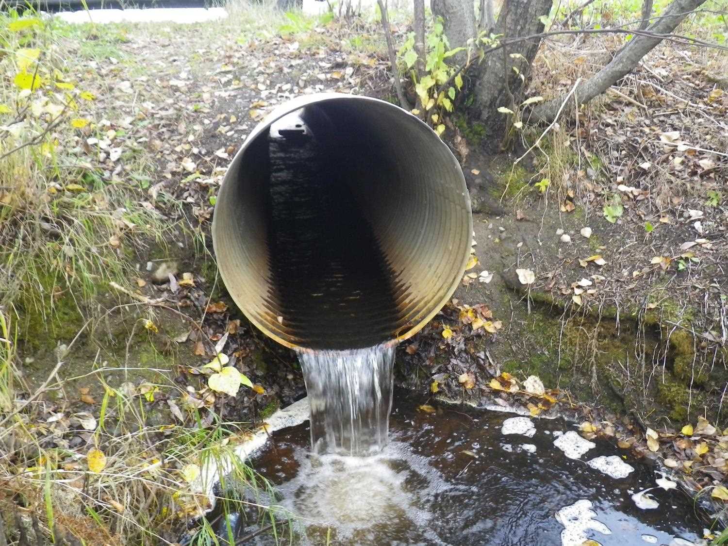
Comments: Updated photos added from 9/26/16 site visit for Sampling Unmapped Streams in the MSB project. No fish captured.
Culvert Measurements
| ID: 1 | Structure Type: Circular pipe (Corrugated Metal) | Fish Passage Rating: | |||||||||||||||||||||||||||||||||||||||||
|
|
|
|||||||||||||||||||||||||||||||||||||||||
Culvert Observations:
|
|||||||||||||||||||||||||||||||||||||||||||
Stream Measurements
|
|
| Stream Width Type | Distance From Crossing (ft) |
Stream Width (ft) |
|---|---|---|
| Upstream bed width | 150.0 | 3.00 |
| Upstream ordinary high water | 150.0 | 3.20 |
Elevations
| Locator ID | Culvert Number |
River Distance (ft)1 |
Distance From Crossing (ft)2 |
Relative Elevation (ft) |
|---|---|---|---|---|
| OHW Left Bank | 95.25 | |||
| OHW Left Bank | 95.27 | |||
| D/S Tailcrest or 1st Thalweg | 0.00 | 2.3 | 95.19 | |
| Max Pool Depth | 1.20 | 1.1 | 94.95 | |
| D/S Thalweg | 1.20 | 1.1 | 94.95 | |
| Outlet Invert | 1 | 2.30 | 0.0 | 96.75 |
| Road Elev | 14.80 | 102.16 | ||
| Inlet Culvert Invert | 1 | 27.30 | 0.0 | 97.13 |
| U/S Thalweg | 1 | 33.30 | 6.0 | 96.79 |
Notes:
- River distance is measured continuously throughout the survey reach along the thalweg of the stream.
- Measured from each end of the crossing along the thalweg of the stream.
Fish Sampling Efforts
No fish sampling occurred during this survey.
Fish Observations
No fish observations occurred during this survey.
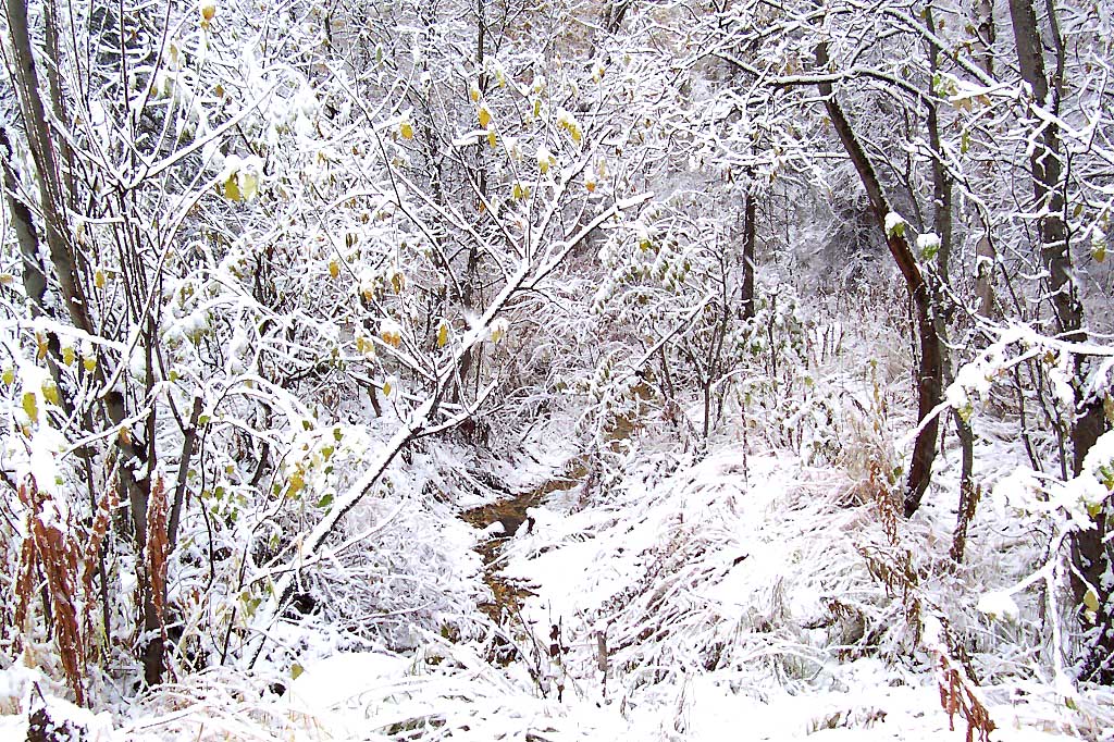
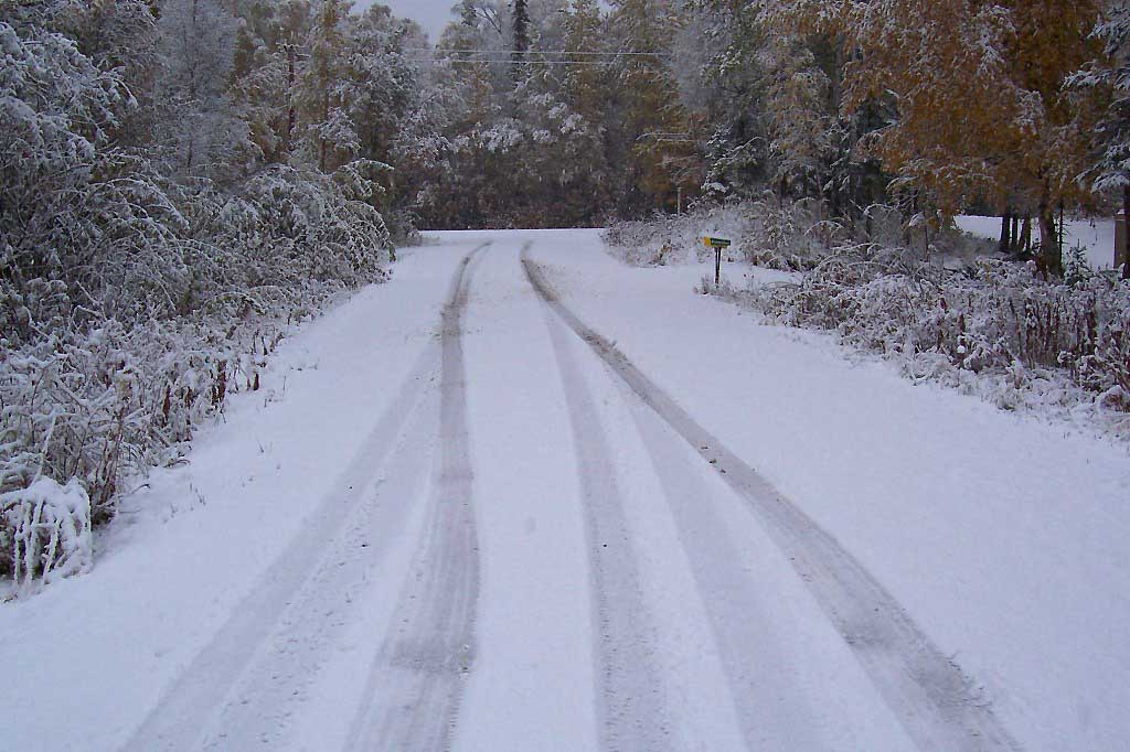
Photos


Questions or comments about this report can be directed to dfg.dsf.webmaster@alaska.gov