Fish Passage Site 20400763
Coordinates (dec. deg.): 61.07595°, -149.82972°
Legal Description: S011N003W04
Region: South Central
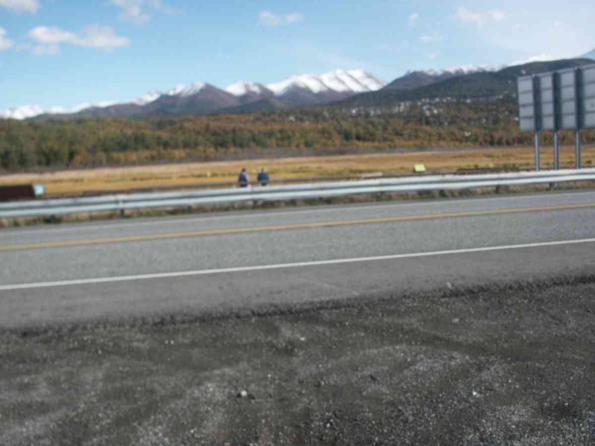
Road Name: Seward Highway
Datum: NAD83
Quad Name / ITM: Anchorage A-8
AWC Stream #: 247-60-10320
Stream Name: Rabbit Creek
Elevation:
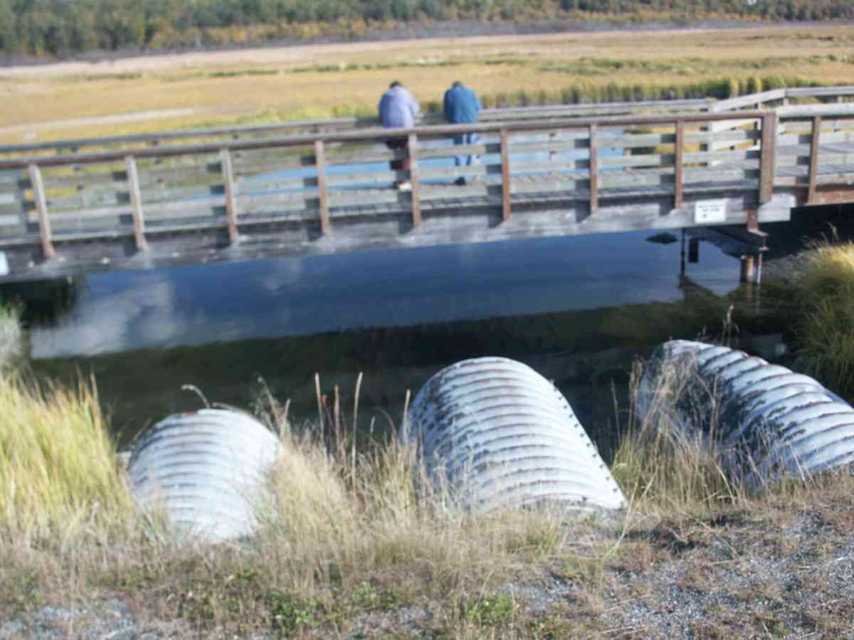
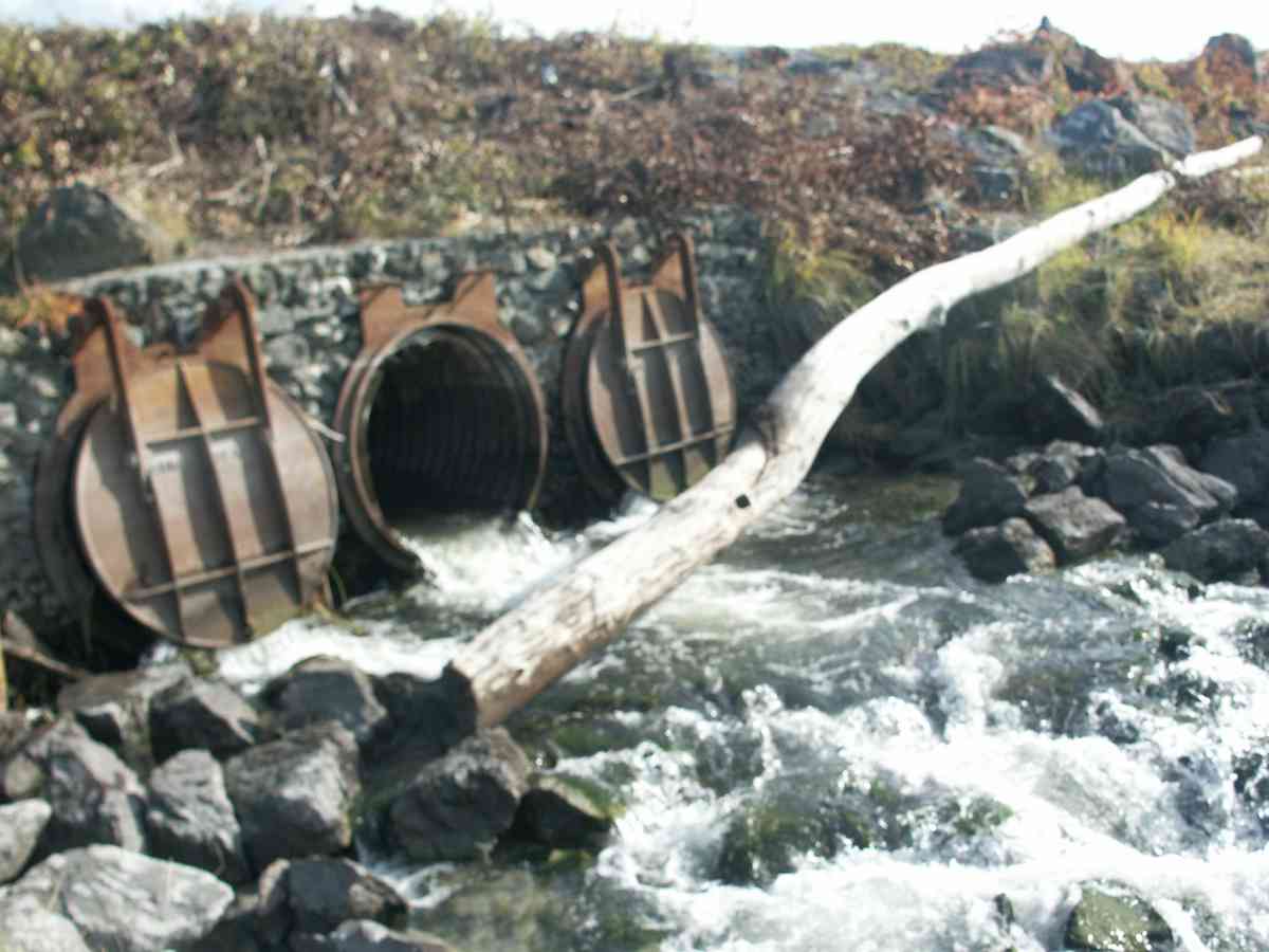
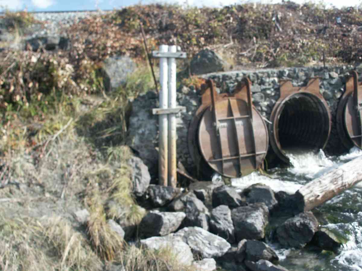
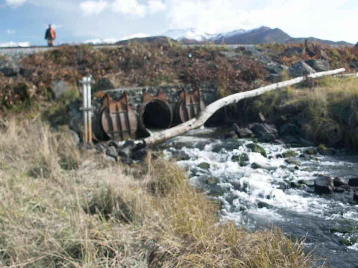
Site Comments: In 1990 the AK Railroad installed a series of step pools below the culverts/tidegates to raise the water level approx 18". The rock weirs were built by hand and were originally intended to be a temporary solution. As of 2011 they are still in place although they have somewhat collapsed. The tidegates on the culverts were reomved in 2010.
arrow to the right of the survey date below to choose a different report for this site.
Survey ANC04-3A159
Observers: Dean Beers, Vic Stanculescu
Overall Fish Passage Rating:
Tidal: No
Backwatered: No
Step Pools:
Construction Year:
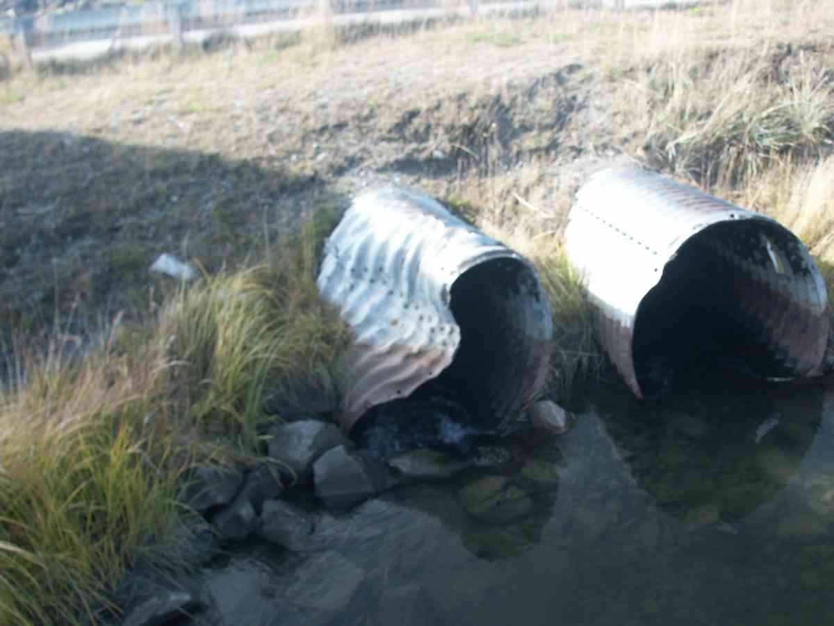
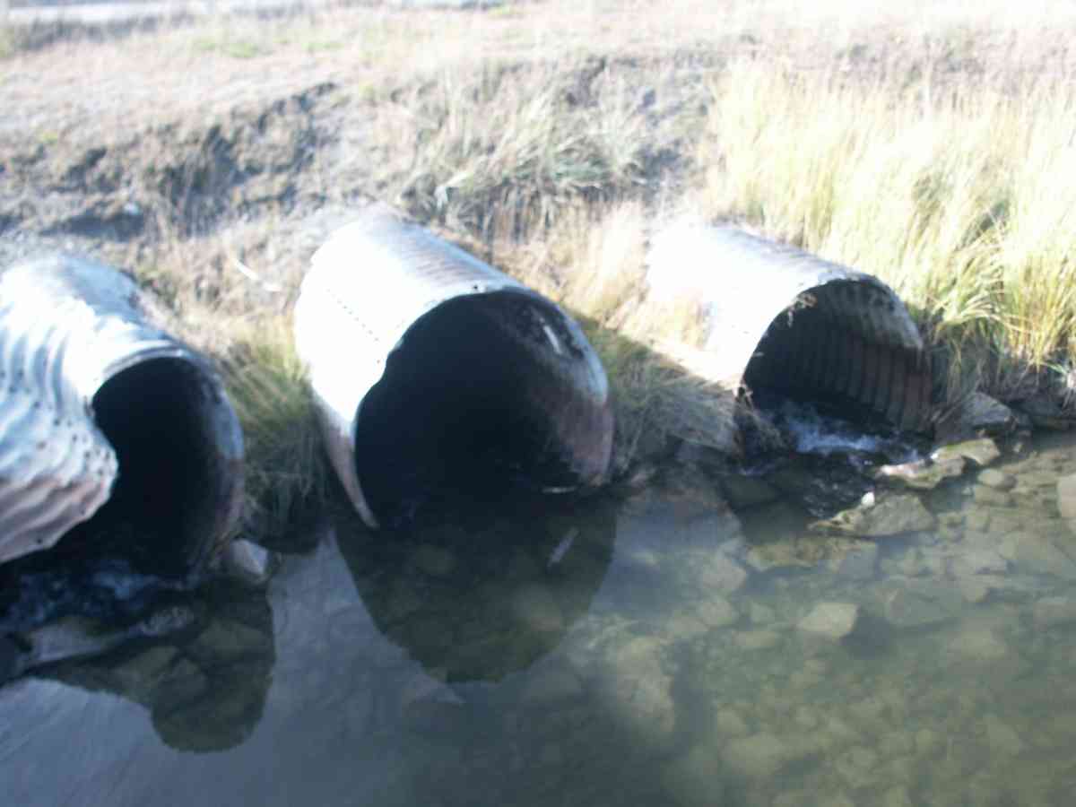
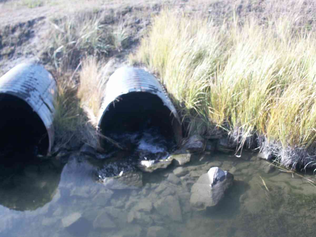
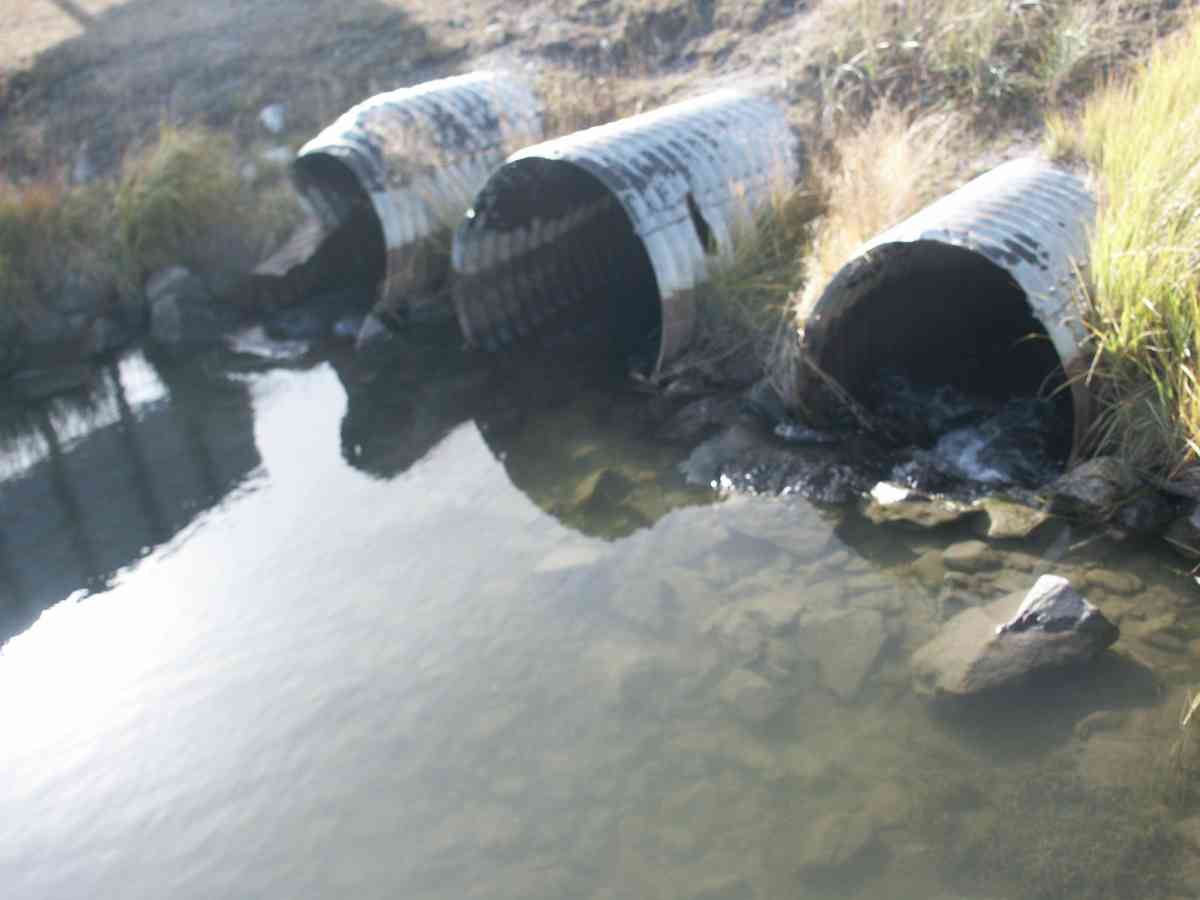
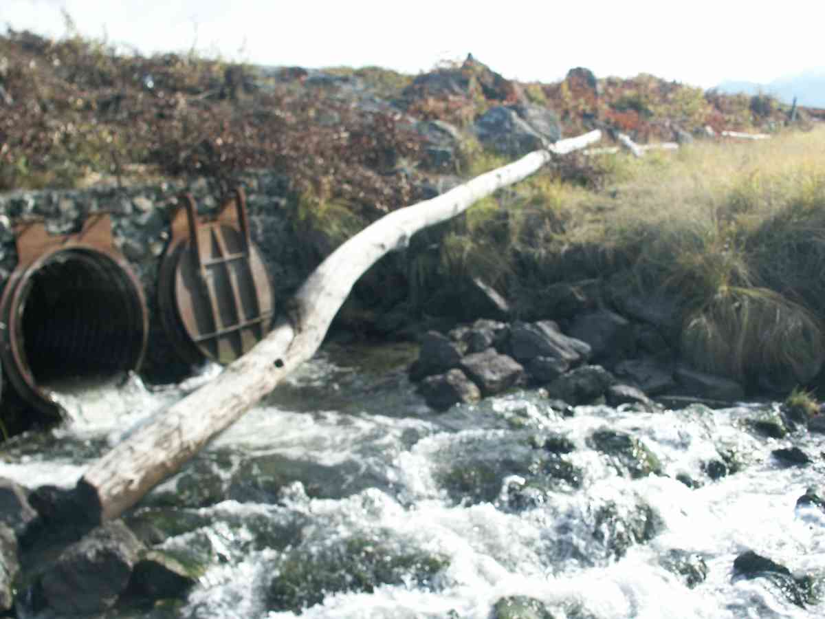
Comments: RABBIT CREEK WATERSHED, FISH LIKELY ONLY GETTING PAST CENTER CULVERT DUE TO COVERS AT OUTLET(SEE PICS), ADULT COHO ABOVE AND BELOW CULVERTS. NO UPSTREAM MEASUREMENTS DUE TO POTTER MARSH.
Culvert Measurements
| ID: 1 | Structure Type: Circular pipe (Corrugated Metal) | Fish Passage Rating: | |||||||||||||||||||||||||||||||||||||||||
|
|
|
|||||||||||||||||||||||||||||||||||||||||
| ID: 2 | Structure Type: Circular pipe (Corrugated Metal) | Fish Passage Rating: | |||||||||||||||||||||||||||||||||||||||||
|
|
|
|||||||||||||||||||||||||||||||||||||||||
| ID: 3 | Structure Type: Circular pipe (Corrugated Metal) | Fish Passage Rating: | |||||||||||||||||||||||||||||||||||||||||
|
|
|
|||||||||||||||||||||||||||||||||||||||||
Stream Measurements
|
|
No stream width data available.
Elevations
| Locator ID | Culvert Number |
River Distance (ft)1 |
Distance From Crossing (ft)2 |
Relative Elevation (ft) |
|---|---|---|---|---|
| Max Pool Depth | 88.02 | |||
| D/S Thalweg | 88.02 | |||
| D/S Tailcrest or 1st Thalweg | 88.87 | |||
| OHW Left Bank | 89.86 | |||
| OHW Left Bank | 90.99 | |||
| U/S Thalweg | 1 | 91.16 | ||
| U/S Thalweg | 2 | 91.16 | ||
| U/S Thalweg | 3 | 91.16 | ||
| Outlet Invert | 1 | 0.00 | 0.0 | 90.18 |
| Outlet Invert | 3 | 0.00 | 0.0 | 90.18 |
| Outlet Invert | 2 | 0.00 | 0.0 | 90.41 |
| Road Elev | 71.50 | 100.27 | ||
| Inlet Culvert Invert | 2 | 143.00 | 0.0 | 91.78 |
| Inlet Culvert Invert | 1 | 143.00 | 0.0 | 91.89 |
| Inlet Culvert Invert | 3 | 143.00 | 0.0 | 92.09 |
Notes:
- River distance is measured continuously throughout the survey reach along the thalweg of the stream.
- Measured from each end of the crossing along the thalweg of the stream.
Fish Sampling Efforts
| Gear Type: Visual Observation, Ground (A) | ||
Fish Observations
No fish observations occurred during this survey.
Photos
Questions or comments about this report can be directed to dfg.dsf.webmaster@alaska.gov