Fish Passage Site 20400762
Coordinates (dec. deg.): 61.05010°, -149.79404°
Legal Description: S011N003W15
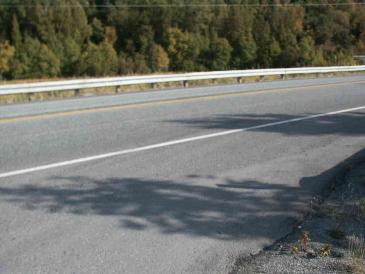
Region: South Central
Road Name: Seward Highway
Datum: NAD83
Quad Name / ITM: Anchorage A-8
AWC Stream #:
Stream Name:
Elevation:
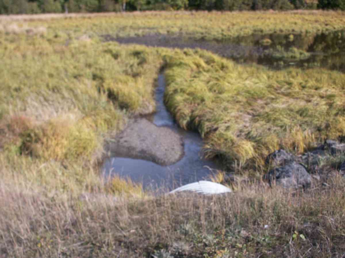
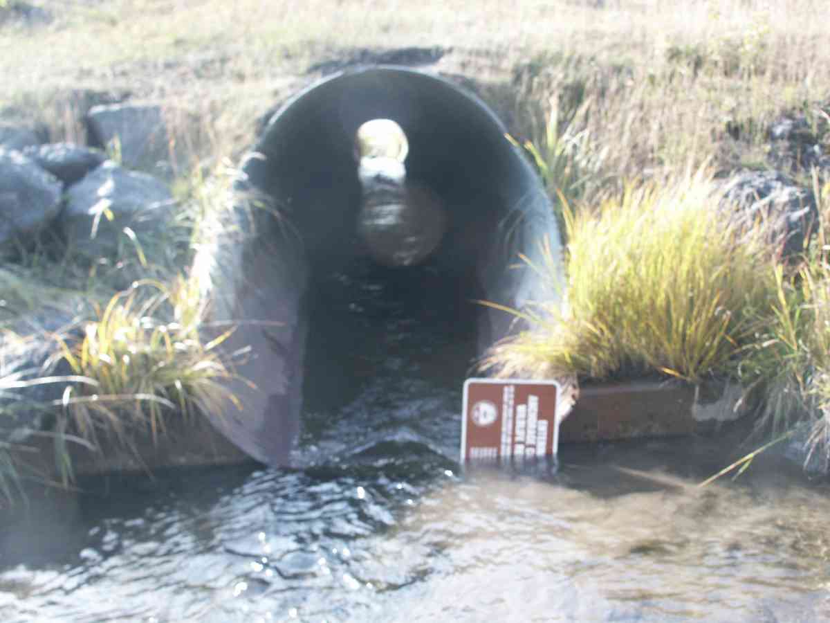
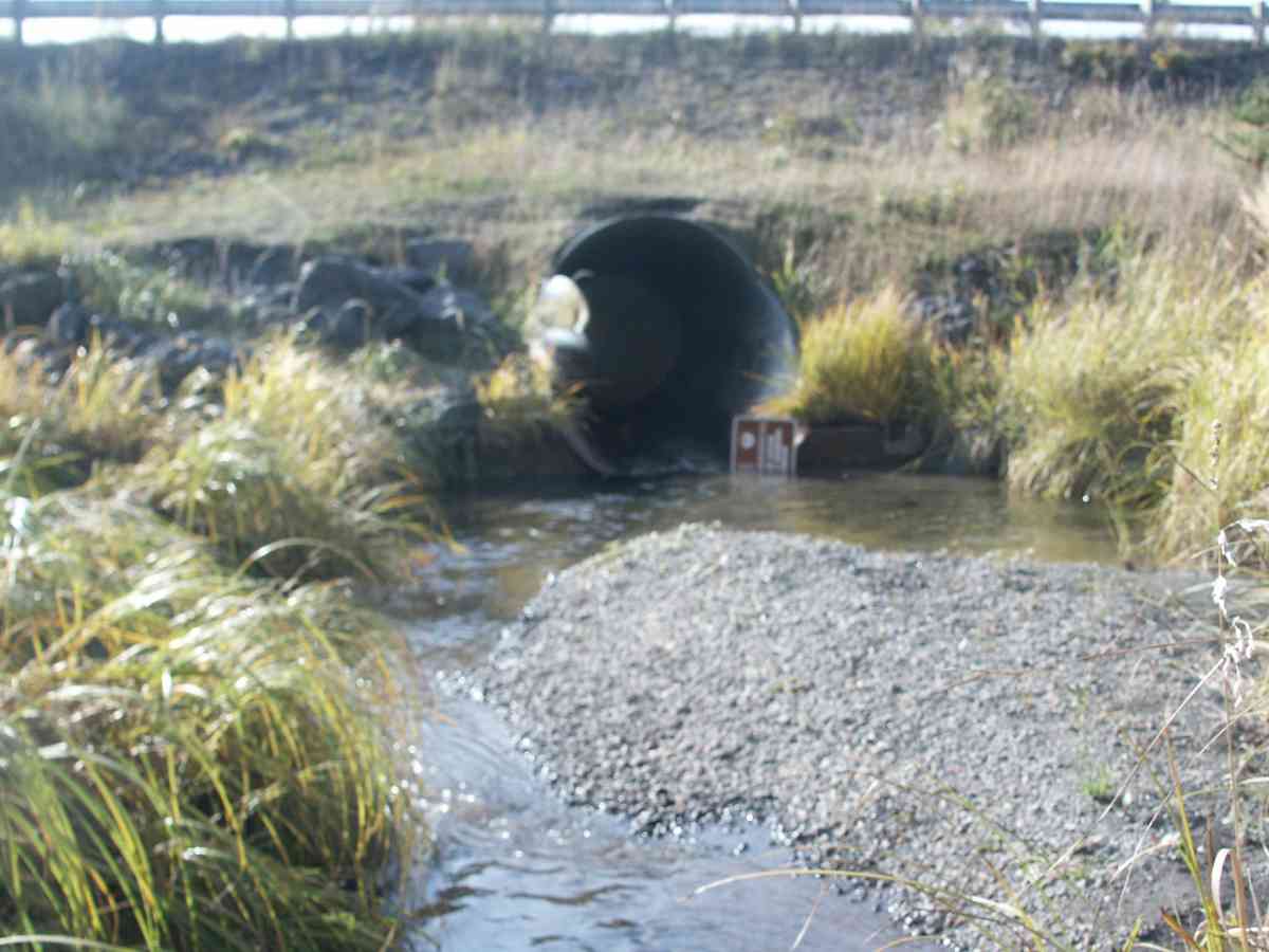
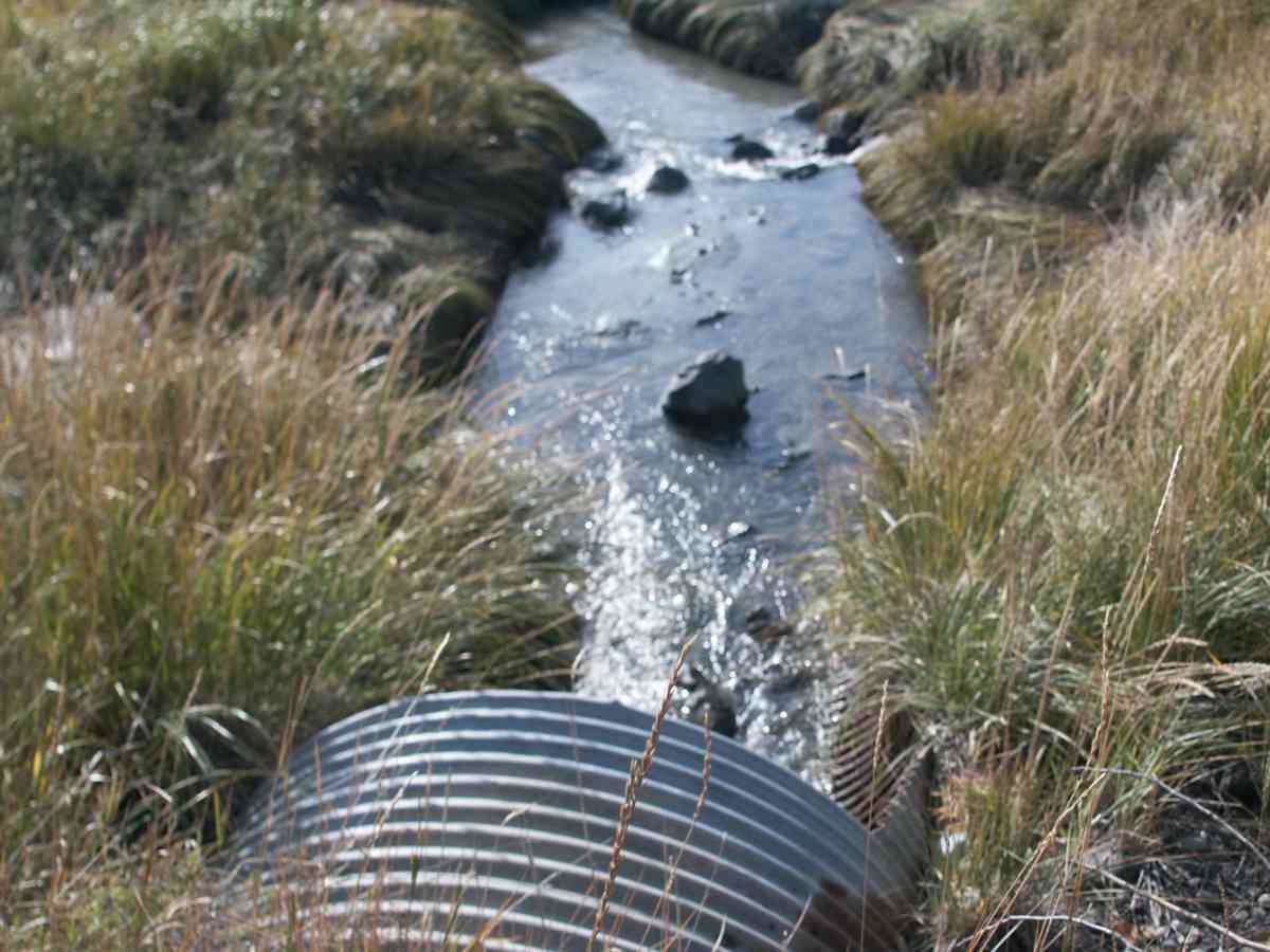
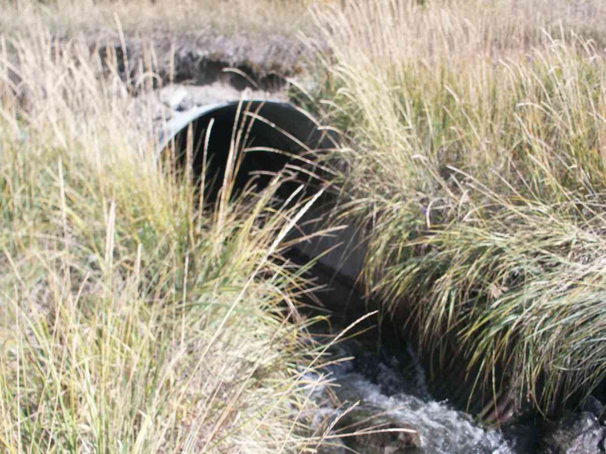
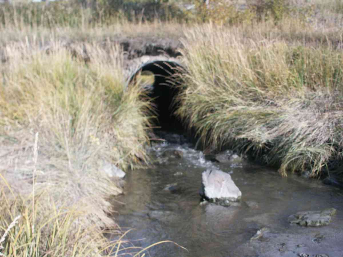
Site Comments: POTTER CREEK WATERSHED
arrow to the right of the survey date below to choose a different report for this site.
Survey ANC04-3A160
Observers: Dean Beers, Vic Stanculescu
Overall Fish Passage Rating:
Tidal: No
Backwatered: No
Step Pools:
Construction Year:
Comments: POTTER CREEK WATERSHED, COHO FRY PRESENT IN INLET, SCULPIN OBSERVED AT SITE
Culvert Measurements
| ID: 1 | Structure Type: Circular pipe (Corrugated Metal) | Fish Passage Rating: | |||||||||||||||||||||||||||||||||||||||||
|
|
|
|||||||||||||||||||||||||||||||||||||||||
Stream Measurements
|
|
No stream width data available.
Elevations
| Locator ID | Culvert Number |
River Distance (ft)1 |
Distance From Crossing (ft)2 |
Relative Elevation (ft) |
|---|---|---|---|---|
| Max Pool Depth | 81.61 | |||
| D/S Thalweg | 81.61 | |||
| D/S Tailcrest or 1st Thalweg | 82.04 | |||
| OHW Left Bank | 82.67 | |||
| OHW Left Bank | 82.90 | |||
| U/S Thalweg | 1 | 84.81 | ||
| Outlet Invert | 1 | 0.00 | 0.0 | 82.15 |
| Road Elev | 62.00 | 101.85 | ||
| Inlet Culvert Invert | 1 | 124.00 | 0.0 | 84.91 |
Notes:
- River distance is measured continuously throughout the survey reach along the thalweg of the stream.
- Measured from each end of the crossing along the thalweg of the stream.
Fish Sampling Efforts
| Gear Type: Visual Observation, Ground (A) | ||
Fish Observations
No fish observations occurred during this survey.
Photos
Questions or comments about this report can be directed to dfg.dsf.webmaster@alaska.gov