Fish Passage Site 20400163
Coordinates (dec. deg.): 61.09654°, -149.73299°
Legal Description: S012N003W25
Region: South Central
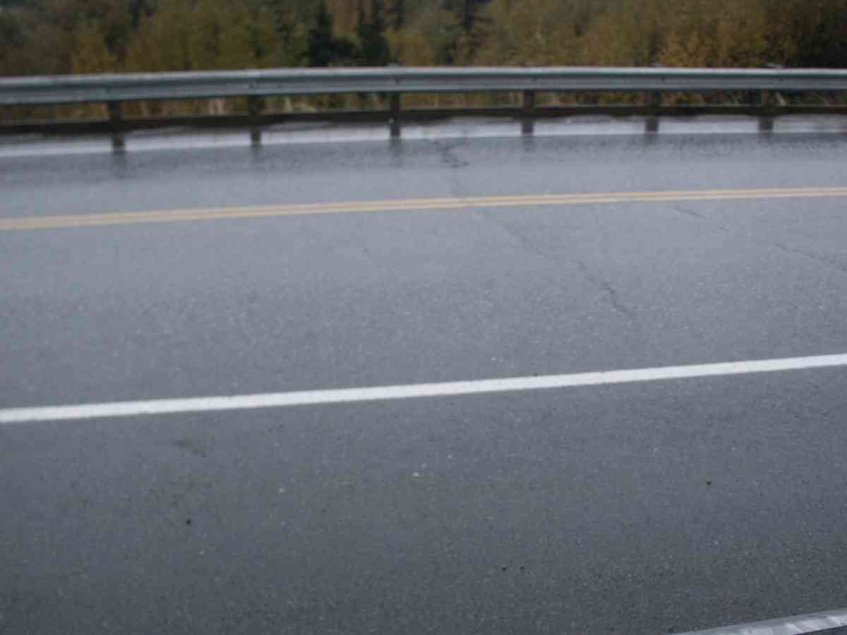
Road Name: Rabbit Creek Road
Datum: NAD83
Quad Name / ITM: Anchorage A-8
AWC Stream #: 247-60-10320
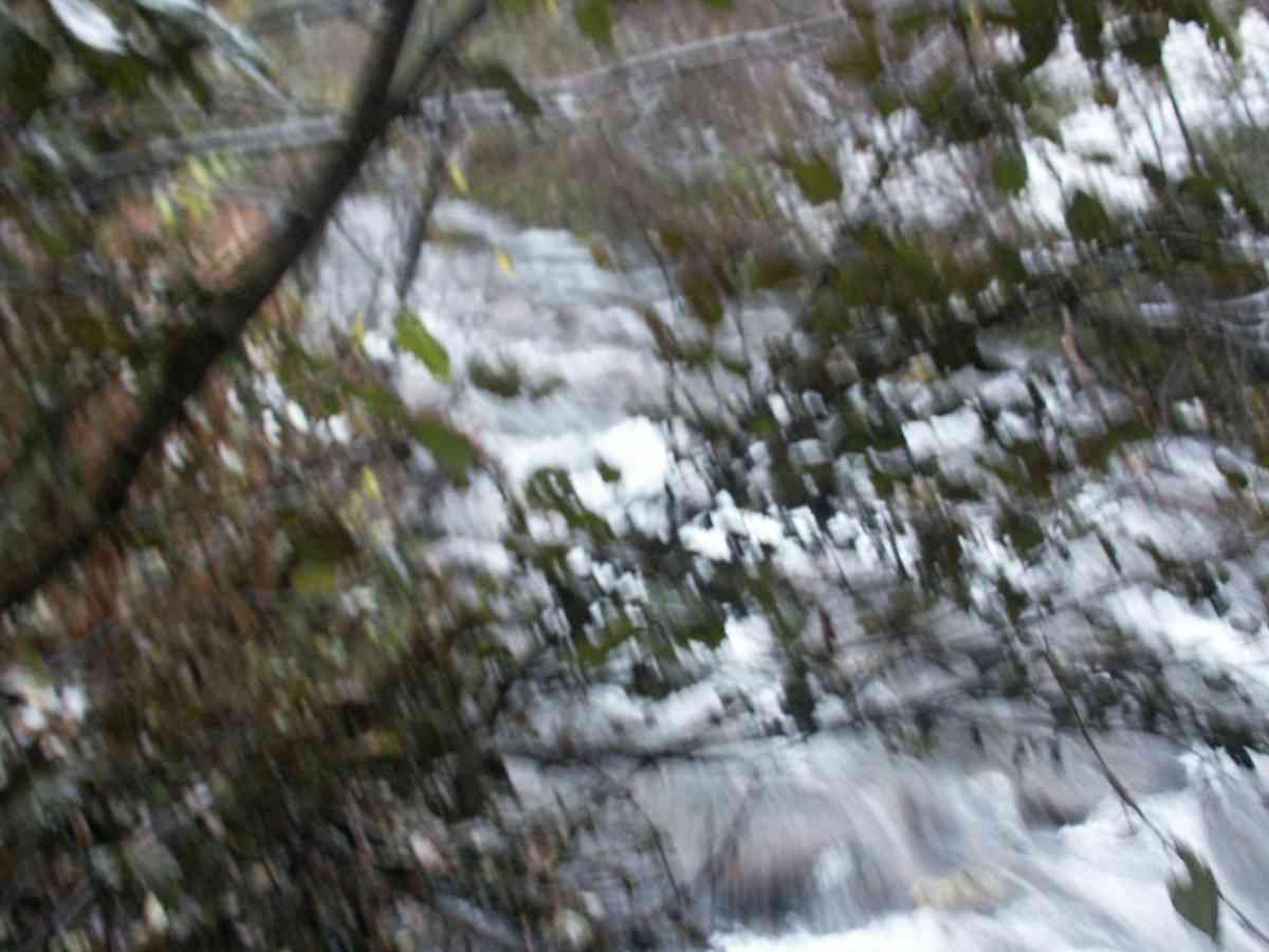
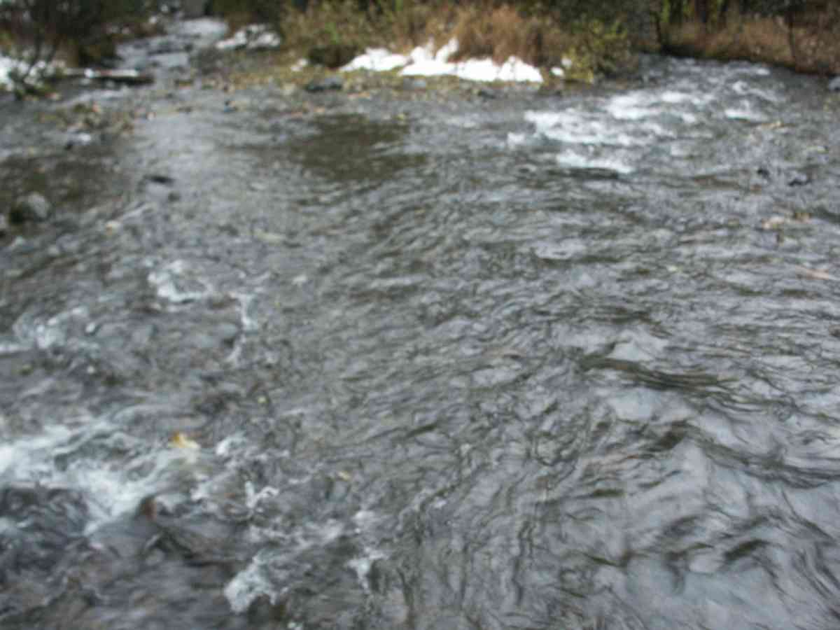
Stream Name: Rabbit Creek
Elevation:
Site Comments: RABBIT CREEK WATERSHED
Survey ANC04-4A163
Observers: Dean Beers, Vic Stanculescu
Overall Fish Passage Rating:
Tidal: No
Backwatered: No
Step Pools:
Construction Year:
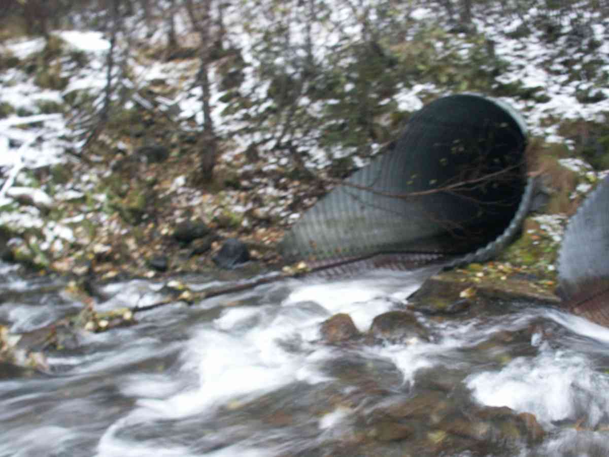
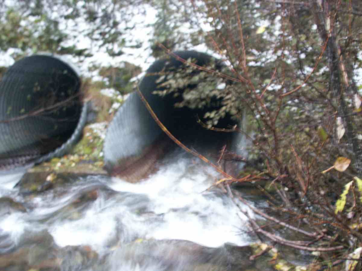
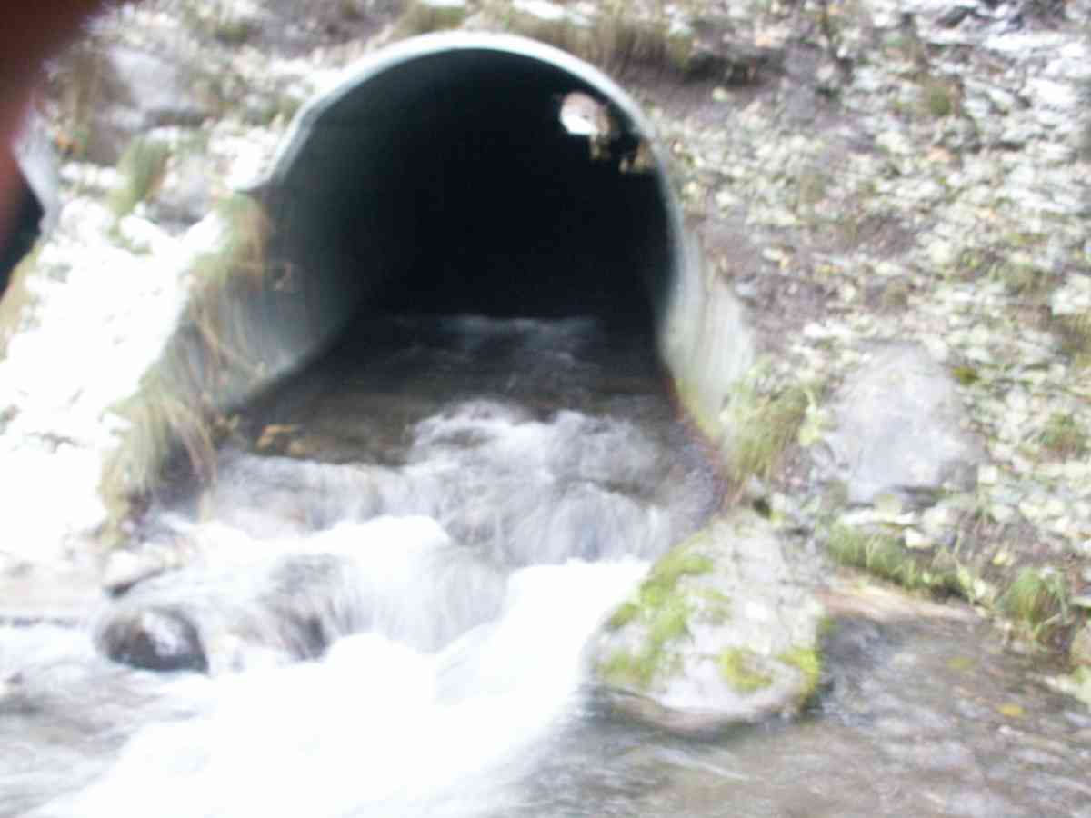
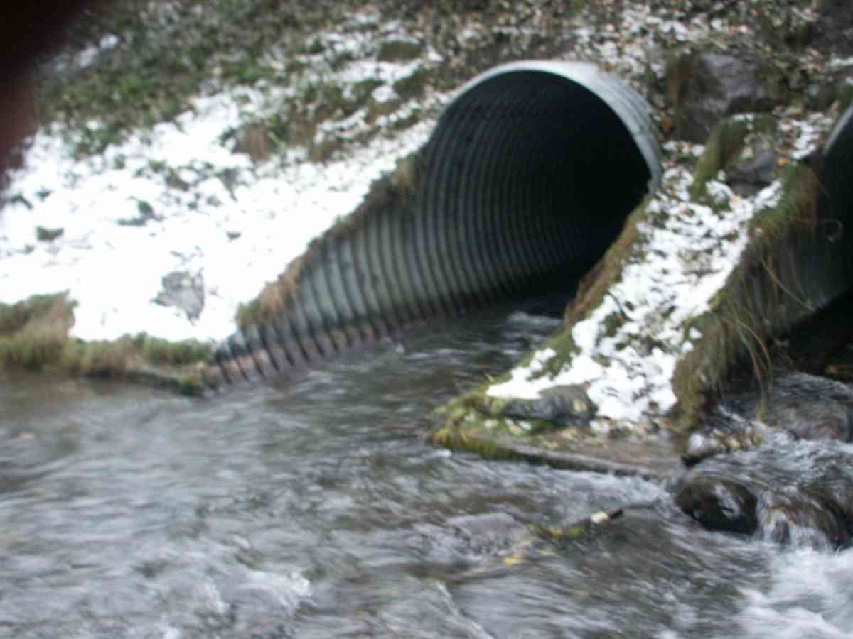
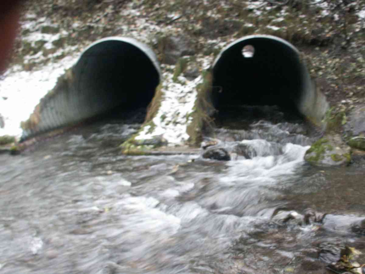
Comments: RABBIT CREEK WATERSHED, COHO ADULTS IN CULVERT ONE ADULT OBSERVED UPSTREAM FROM CULVERT INLET
Culvert Measurements
| ID: 1 | Structure Type: Circular pipe (Corrugated Metal) | Fish Passage Rating: | |||||||||||||||||||||||||||||||||||||||||
|
|
|
|||||||||||||||||||||||||||||||||||||||||
| ID: 2 | Structure Type: Circular pipe (Corrugated Metal) | Fish Passage Rating: | |||||||||||||||||||||||||||||||||||||||||
|
|
|
|||||||||||||||||||||||||||||||||||||||||
Stream Measurements
|
|
| Stream Width Type | Distance From Crossing (ft) |
Stream Width (ft) |
|---|---|---|
| Upstream bank full | 75.0 | 27.70 |
| Upstream bank full | 100.0 | 24.20 |
| Upstream bank full | 125.0 | 26.40 |
| Upstream bank full | 150.0 | 22.10 |
| Upstream bed width | 75.0 | 21.00 |
| Upstream bed width | 100.0 | 17.60 |
| Upstream bed width | 125.0 | 21.50 |
| Upstream bed width | 150.0 | 14.00 |
| Upstream ordinary high water | 75.0 | 21.50 |
| Upstream ordinary high water | 100.0 | 19.70 |
| Upstream ordinary high water | 125.0 | 22.00 |
| Upstream ordinary high water | 150.0 | 16.50 |
Elevations
| Locator ID | Culvert Number |
River Distance (ft)1 |
Distance From Crossing (ft)2 |
Relative Elevation (ft) |
|---|---|---|---|---|
| U/S Thalweg | 1 | 92.25 | ||
| U/S Thalweg | 2 | 92.52 | ||
| D/S Thalweg | 98.47 | |||
| Max Pool Depth | 98.56 | |||
| OHW Left Bank | 99.06 | |||
| D/S Tailcrest or 1st Thalweg | 99.09 | |||
| OHW Left Bank | 99.57 | |||
| Outlet Invert | 1 | 0.00 | 0.0 | 98.97 |
| Outlet Invert | 2 | 0.00 | 0.0 | 98.52 |
| Road Elev | 123.00 | 104.31 | ||
| Inlet Culvert Invert | 2 | 246.00 | 0.0 | 91.17 |
| Inlet Culvert Invert | 1 | 246.00 | 0.0 | 91.20 |
Notes:
- River distance is measured continuously throughout the survey reach along the thalweg of the stream.
- Measured from each end of the crossing along the thalweg of the stream.
Fish Sampling Efforts
No fish sampling occurred during this survey.
Fish Observations
No fish observations occurred during this survey.
Photos

Questions or comments about this report can be directed to dfg.dsf.webmaster@alaska.gov