Fish Passage Site 20400157
Coordinates (dec. deg.): 61.08870°, -149.81365°
Legal Description: S012N003W33
Region: South Central
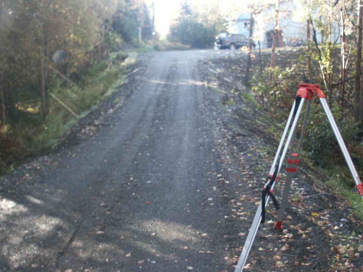
Road Name: Loc Sault Avenue
Datum: NAD83
Quad Name / ITM: Anchorage A-8
AWC Stream #:
Stream Name: ElmoreCreek
Elevation:
Site Comments: RABBIT CREEK WATERSHED, PRIVATE DRIVEWAY
Survey ANC04-3A157
Observers: Dean Beers, Vic Stanculescu
Overall Fish Passage Rating:
Tidal: No
Backwatered: No
Step Pools:
Construction Year:
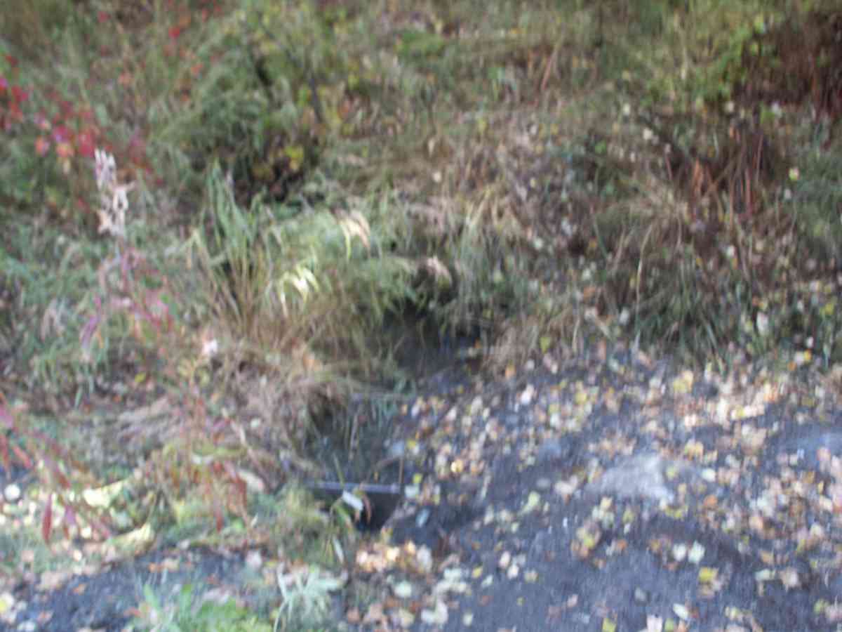
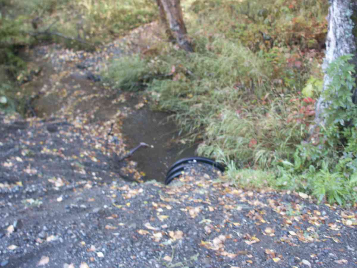
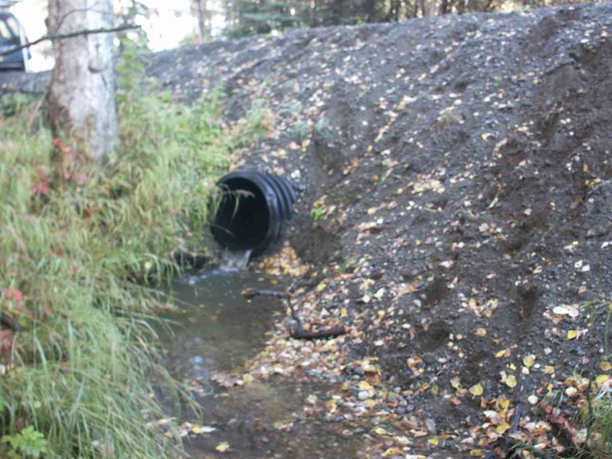
Comments: RABBIT CREEK WATERSHED, PRIVATE DRIVEWAY, PLASTIC CULVERT, CORREGATIONS ON OUTSIDE OF PIPE ONLY, ENTERED AS ("OTHER" IN CULVERT TYPE)
Culvert Measurements
| ID: 1 | Structure Type: Other (Unknown) | Fish Passage Rating: | |||||||||||||||||||||||||||||||||||||||||
|
|
|
|||||||||||||||||||||||||||||||||||||||||
Stream Measurements
|
|
| Stream Width Type | Distance From Crossing (ft) |
Stream Width (ft) |
|---|---|---|
| Upstream bank full | 75.0 | 9.80 |
| Upstream bank full | 100.0 | 13.90 |
| Upstream bank full | 125.0 | 11.10 |
| Upstream bank full | 150.0 | 14.80 |
| Upstream bed width | 75.0 | 1.90 |
| Upstream bed width | 100.0 | 3.00 |
| Upstream bed width | 125.0 | 4.90 |
| Upstream bed width | 150.0 | 4.70 |
| Upstream ordinary high water | 75.0 | 2.10 |
| Upstream ordinary high water | 100.0 | 3.10 |
| Upstream ordinary high water | 125.0 | 5.30 |
| Upstream ordinary high water | 150.0 | 5.00 |
Elevations
| Locator ID | Culvert Number |
River Distance (ft)1 |
Distance From Crossing (ft)2 |
Relative Elevation (ft) |
|---|---|---|---|---|
| D/S Thalweg | 95.88 | |||
| Max Pool Depth | 96.04 | |||
| D/S Tailcrest or 1st Thalweg | 96.95 | |||
| OHW Left Bank | 97.14 | |||
| OHW Left Bank | 97.33 | |||
| U/S Thalweg | 1 | 97.39 | ||
| Outlet Invert | 1 | 0.00 | 0.0 | 97.47 |
| Road Elev | 13.50 | 103.48 | ||
| Inlet Culvert Invert | 1 | 27.00 | 0.0 | 97.92 |
Notes:
- River distance is measured continuously throughout the survey reach along the thalweg of the stream.
- Measured from each end of the crossing along the thalweg of the stream.
Fish Sampling Efforts
| Gear Type: Visual Observation, Ground (A) | ||
Fish Observations
No fish observations occurred during this survey.
Photos


Questions or comments about this report can be directed to dfg.dsf.webmaster@alaska.gov