Fish Passage Site 20400133
Coordinates (dec. deg.): 61.16038°, -149.85192°
Legal Description: S012N003W05
Region: South Central
Road Name: MEADOW STREET
Datum: NAD83
Quad Name / ITM: Anchorage A-8
AWC Stream #: 247-60-10340-2018-3005
Stream Name: Little Campbell Creek North Fork tributary
Elevation:
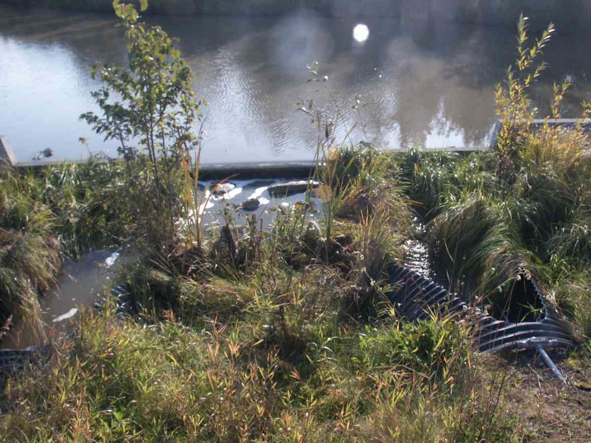
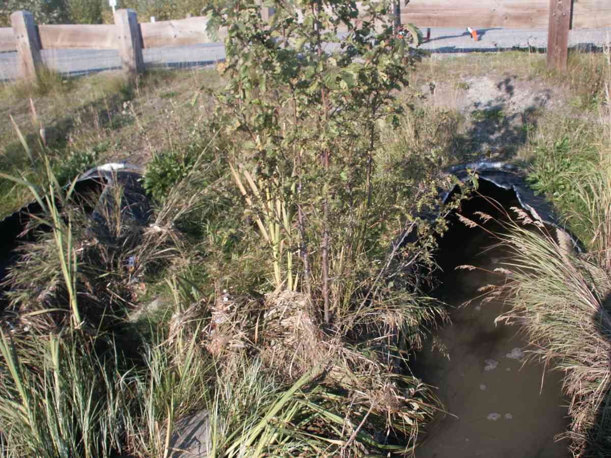
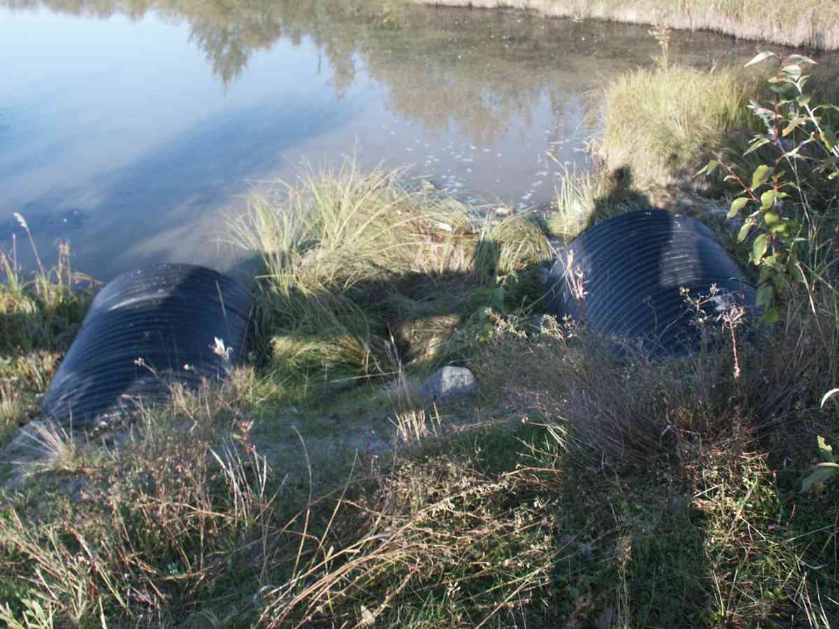
Site Comments: CAMBELL CREEK WATERSHED, THIS IS A DESIGNED SEDIMENT SETTLING POND, CONNECTED AT FLOOD WITH THE MAIN STEM
Survey ANC04-3A133
Observers: Dean Beers, Vic Stanculescu
Overall Fish Passage Rating:
Tidal: No
Backwatered: No
Step Pools:
Construction Year:
Comments: CAMBELL CREEK WATERSHED, THIS IS A DESIGNED SEDIMENT SETTLING POND, CONNECTED AT FLOOD WITH THE MAIN STEM, NO UPSTREAM VEGITATION MEASUREMENTS TAKEN
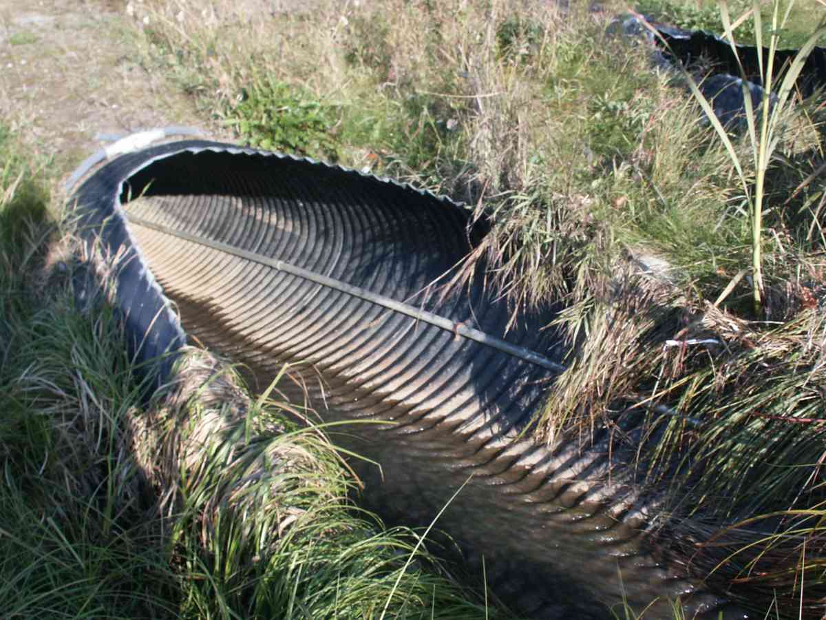
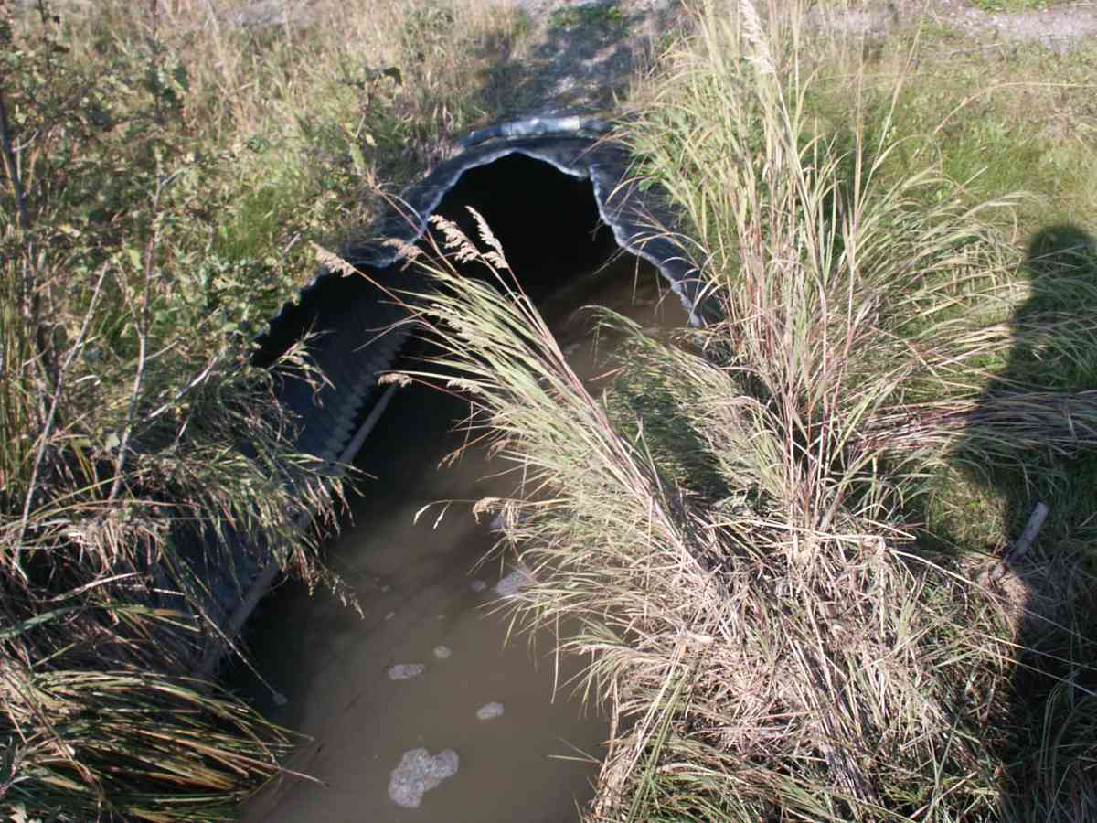
Culvert Measurements
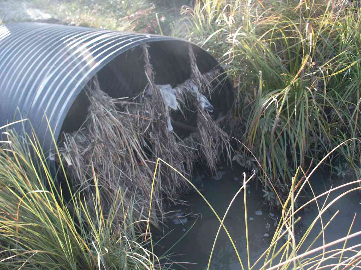
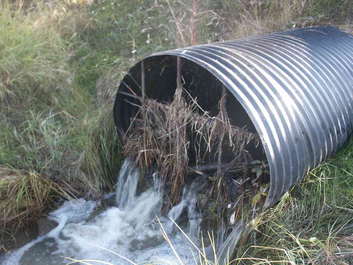
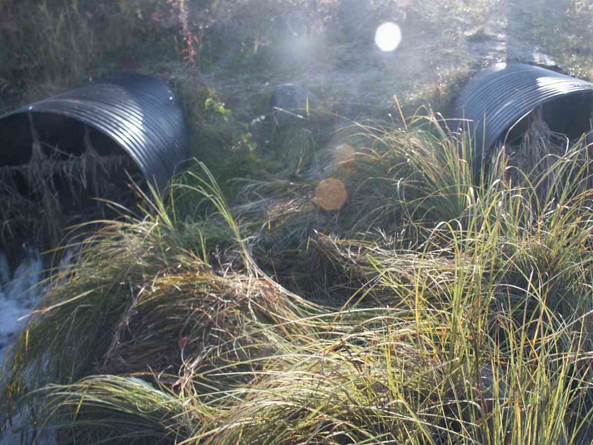
| ID: 1 | Structure Type: Pipe-arch (Corrugated Metal) | Fish Passage Rating: | |||||||||||||||||||||||||||||||||||||||||
|
|
|
|||||||||||||||||||||||||||||||||||||||||
| ID: 2 | Structure Type: Pipe-arch (Corrugated Metal) | Fish Passage Rating: | |||||||||||||||||||||||||||||||||||||||||
|
|
|
|||||||||||||||||||||||||||||||||||||||||
Stream Measurements
|
|
No stream width data available.
Elevations
| Locator ID | Culvert Number |
River Distance (ft)1 |
Distance From Crossing (ft)2 |
Relative Elevation (ft) |
|---|---|---|---|---|
| Max Pool Depth | 95.58 | |||
| OHW Left Bank | 96.47 | |||
| OHW Left Bank | 96.70 | |||
| U/S Thalweg | 2 | 97.44 | ||
| U/S Thalweg | 1 | 98.22 | ||
| Outlet Invert | 2 | 0.00 | 0.0 | 97.11 |
| Outlet Invert | 1 | 0.00 | 0.0 | 96.47 |
| Road Elev | 45.50 | 102.14 | ||
| Inlet Culvert Invert | 1 | 91.00 | 0.0 | 97.60 |
| Inlet Culvert Invert | 2 | 91.00 | 0.0 | 97.60 |
Notes:
- River distance is measured continuously throughout the survey reach along the thalweg of the stream.
- Measured from each end of the crossing along the thalweg of the stream.
Fish Sampling Efforts
| Gear Type: Visual Observation, Ground (A) | ||
Fish Observations
No fish observations occurred during this survey.
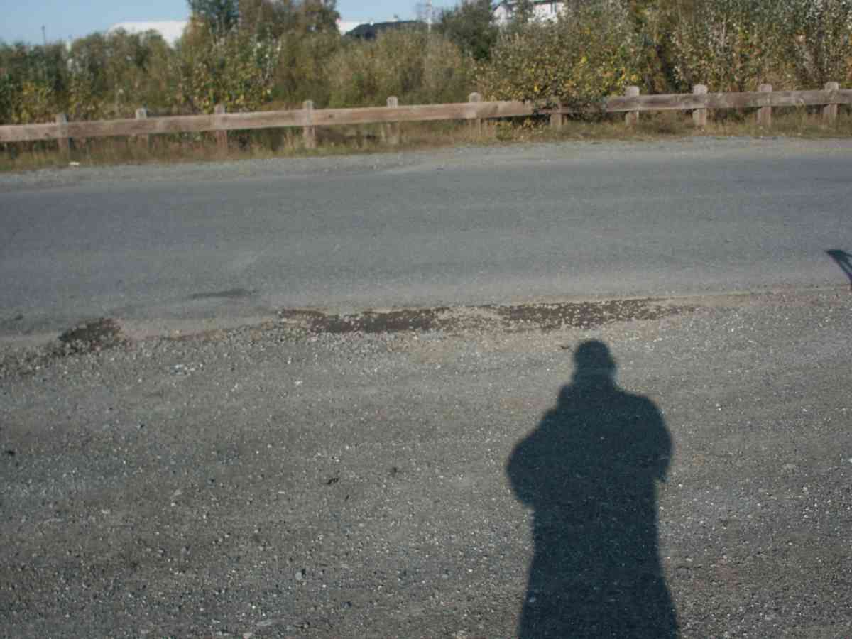
Photos
Questions or comments about this report can be directed to dfg.dsf.webmaster@alaska.gov