Fish Passage Site 20400105
Coordinates (dec. deg.): 61.14382°, -149.82961°
Legal Description: S012N003W09
Region: South Central
Road Name: Atkins Road
Datum: NAD83
Quad Name / ITM: Anchorage A-8
AWC Stream #: 247-60-10340-2018
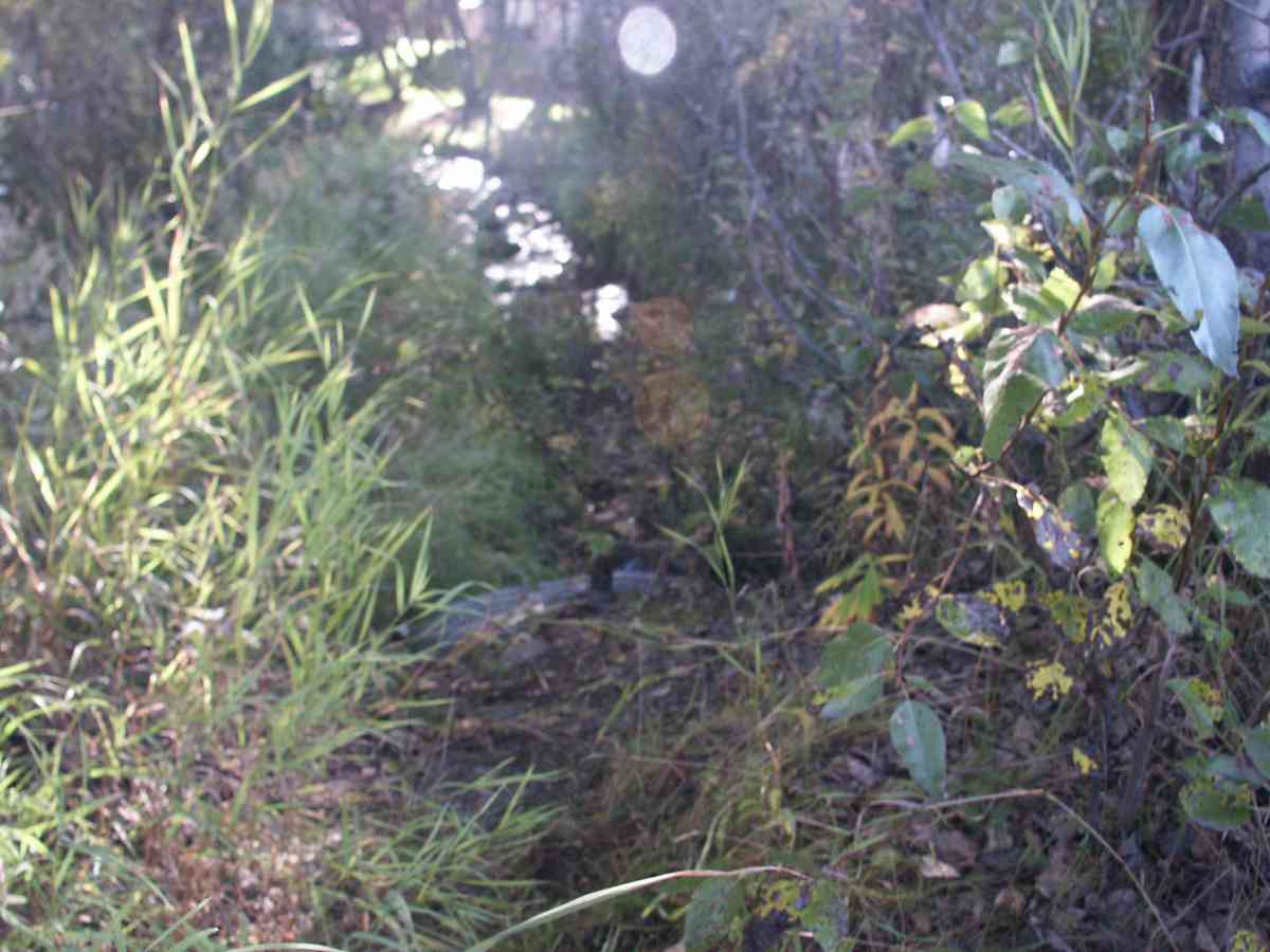
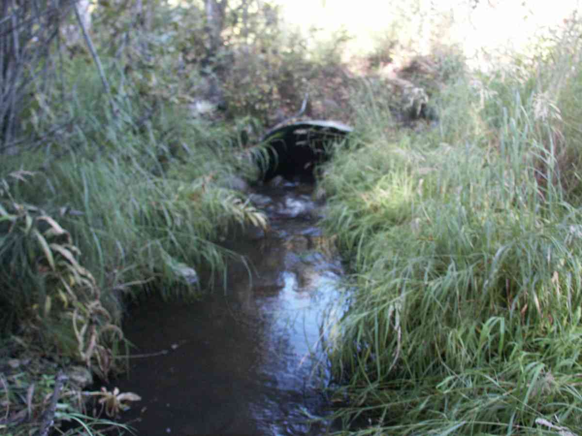
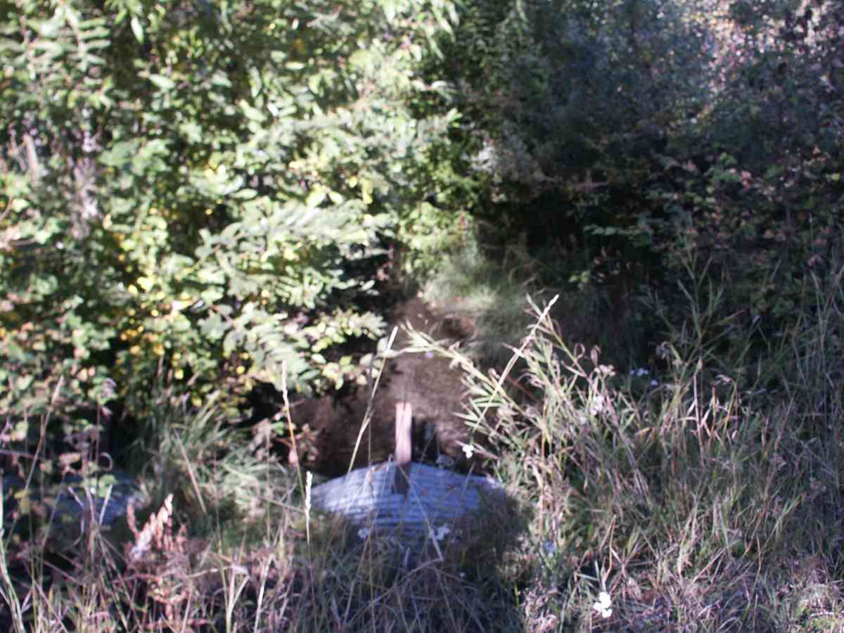
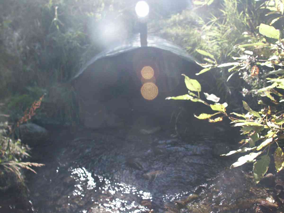
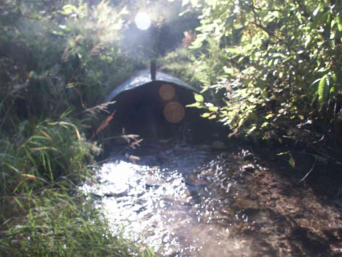
Stream Name: Little Campbell Creek South Fork
Elevation:
Site Comments: None
arrow to the right of the survey date below to choose a different report for this site.
Survey ANC04-3A105
Observers: Dean Beers, Vic Stanculescu
Overall Fish Passage Rating:
Tidal: No
Backwatered: No
Step Pools:
Construction Year: 1988
Comments: CAMBELL CREEK WATERSHED, SCULPIN OBSERVED AT SITE, 20 HR TRAPSET NEGATIVE.
Culvert Measurements
| ID: 1 | Structure Type: Pipe-arch (Corrugated Metal) | Fish Passage Rating: | |||||||||||||||||||||||||||||||||||||||||
|
|
|
|||||||||||||||||||||||||||||||||||||||||
Stream Measurements
|
|
| Stream Width Type | Distance From Crossing (ft) |
Stream Width (ft) |
|---|---|---|
| Upstream bank full | 75.0 | 12.80 |
| Upstream bank full | 100.0 | 12.00 |
| Upstream bank full | 125.0 | 21.10 |
| Upstream bank full | 150.0 | 18.60 |
| Upstream bed width | 75.0 | 6.00 |
| Upstream bed width | 100.0 | 5.90 |
| Upstream bed width | 125.0 | 6.10 |
| Upstream bed width | 150.0 | 8.00 |
| Upstream ordinary high water | 75.0 | 6.10 |
| Upstream ordinary high water | 100.0 | 6.00 |
| Upstream ordinary high water | 125.0 | 6.30 |
| Upstream ordinary high water | 150.0 | 8.20 |
Elevations
| Locator ID | Culvert Number |
River Distance (ft)1 |
Distance From Crossing (ft)2 |
Relative Elevation (ft) |
|---|---|---|---|---|
| D/S Thalweg | 96.14 | |||
| D/S Tailcrest or 1st Thalweg | 96.19 | |||
| Max Pool Depth | 96.19 | |||
| OHW Left Bank | 96.53 | |||
| OHW Left Bank | 96.59 | |||
| U/S Thalweg | 1 | 97.23 | ||
| Outlet Invert | 1 | 0.00 | 0.0 | 95.33 |
| Road Elev | 35.50 | 101.51 | ||
| Inlet Culvert Invert (TAKEN OFF SUBSTRATE) | 1 | 71.00 | 0.0 | 97.09 |
Notes:
- River distance is measured continuously throughout the survey reach along the thalweg of the stream.
- Measured from each end of the crossing along the thalweg of the stream.
Fish Sampling Efforts
| Gear Type: Visual Observation, Ground (A) | ||
Fish Observations
No fish observations occurred during this survey.
Photos


Questions or comments about this report can be directed to dfg.dsf.webmaster@alaska.gov