Fish Passage Site 20400100
Coordinates (dec. deg.): 61.14471°, -149.83167°
Legal Description: S012N003W09
Region: South Central
Road Name: East 84 TH Street
Datum: NAD83
Quad Name / ITM: Anchorage A-8
AWC Stream #: 247-60-10340-2018
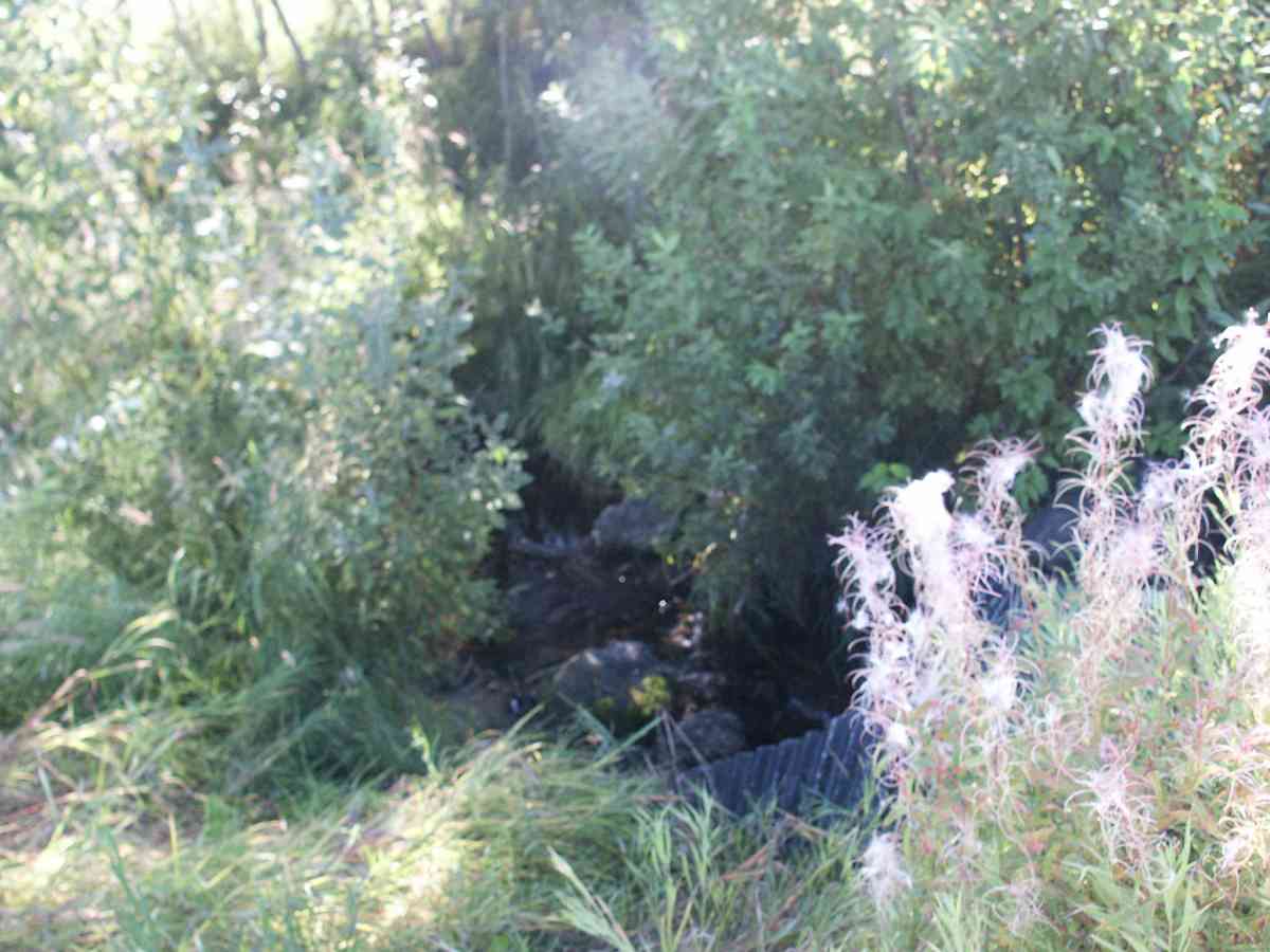
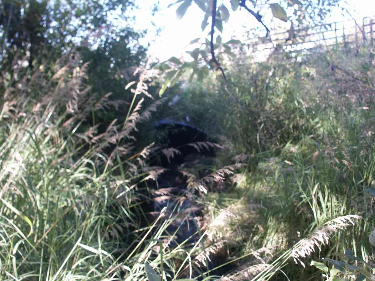
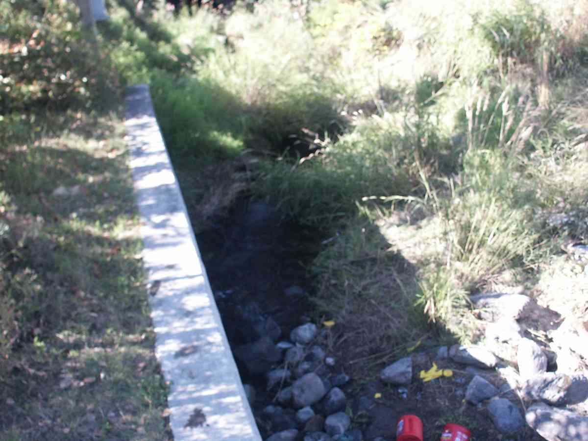
Stream Name: Little Campbell Creek South Fork
Elevation:
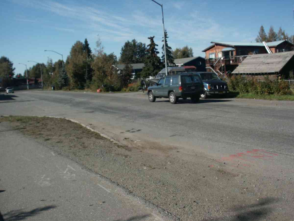
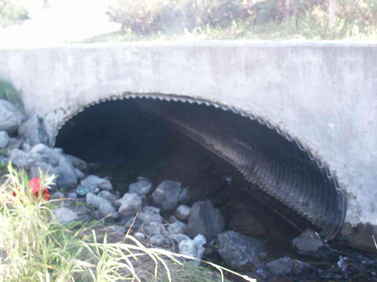
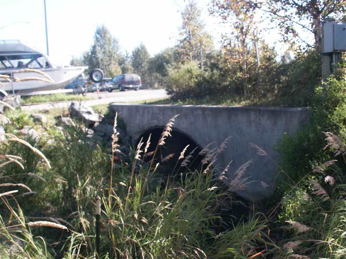
Site Comments: EAST 84TH (LAKE OTIS). CAMBELL CREEK WATERSHED
arrow to the right of the survey date below to choose a different report for this site.
Survey ANC04-3A100
Observers: Dean Beers, Vic Stanculescu
Overall Fish Passage Rating:
Tidal: No
Backwatered: No
Step Pools:
Construction Year:
Comments: CAMBELL CREEK WATERSHED, TRAPPED ONE DOLLY VARDEN AND ONE RAINBOW 500 FT ABOVE CULVERT ON 2 HR SOAK. 2 ND TRAP 1000 FEET ABOVE INLET, 18 HOUR SOAK, NO FISH ***NO RUSTLINE AS CULVERT APPEARS TOO NEW*** SWA 11/13/08
Culvert Measurements
| ID: 1 | Structure Type: Pipe-arch (Corrugated Metal) | Fish Passage Rating: | |||||||||||||||||||||||||||||||||||||||||
|
|
|
|||||||||||||||||||||||||||||||||||||||||
Stream Measurements
|
|
| Stream Width Type | Distance From Crossing (ft) |
Stream Width (ft) |
|---|---|---|
| Upstream bank full | 75.0 | 10.10 |
| Upstream bank full | 100.0 | 12.20 |
| Upstream bank full | 125.0 | 11.90 |
| Upstream bank full | 150.0 | 14.30 |
| Upstream bed width | 75.0 | 4.80 |
| Upstream bed width | 100.0 | 5.00 |
| Upstream bed width | 125.0 | 3.20 |
| Upstream bed width | 150.0 | 8.00 |
| Upstream ordinary high water | 75.0 | 5.20 |
| Upstream ordinary high water | 100.0 | 5.40 |
| Upstream ordinary high water | 125.0 | 5.60 |
| Upstream ordinary high water | 150.0 | 9.00 |
Elevations
| Locator ID | Culvert Number |
River Distance (ft)1 |
Distance From Crossing (ft)2 |
Relative Elevation (ft) |
|---|---|---|---|---|
| D/S Thalweg | 94.67 | |||
| D/S Tailcrest or 1st Thalweg | 95.08 | |||
| Max Pool Depth | 95.15 | |||
| OHW Left Bank | 95.64 | |||
| OHW Left Bank | 95.89 | |||
| U/S Thalweg | 1 | 96.60 | ||
| Outlet Invert (TAKEN OFF SUBSTRATE) | 1 | 0.00 | 0.0 | 95.34 |
| Road Elev | 74.00 | 102.50 | ||
| Inlet Culvert Invert (TAKEN OFF SUBSTRATE) | 1 | 148.00 | 0.0 | 96.08 |
Notes:
- River distance is measured continuously throughout the survey reach along the thalweg of the stream.
- Measured from each end of the crossing along the thalweg of the stream.
Fish Sampling Efforts
| Gear Type: Minnow Trap (A) | Trap Duration(h): 3.0 | |
Fish Observations
No fish observations occurred during this survey.
Photos

Questions or comments about this report can be directed to dfg.dsf.webmaster@alaska.gov