Fish Passage Site 20400042
Coordinates (dec. deg.): 61.21960°, -149.69171°
Legal Description: S013N002W18
Region: South Central
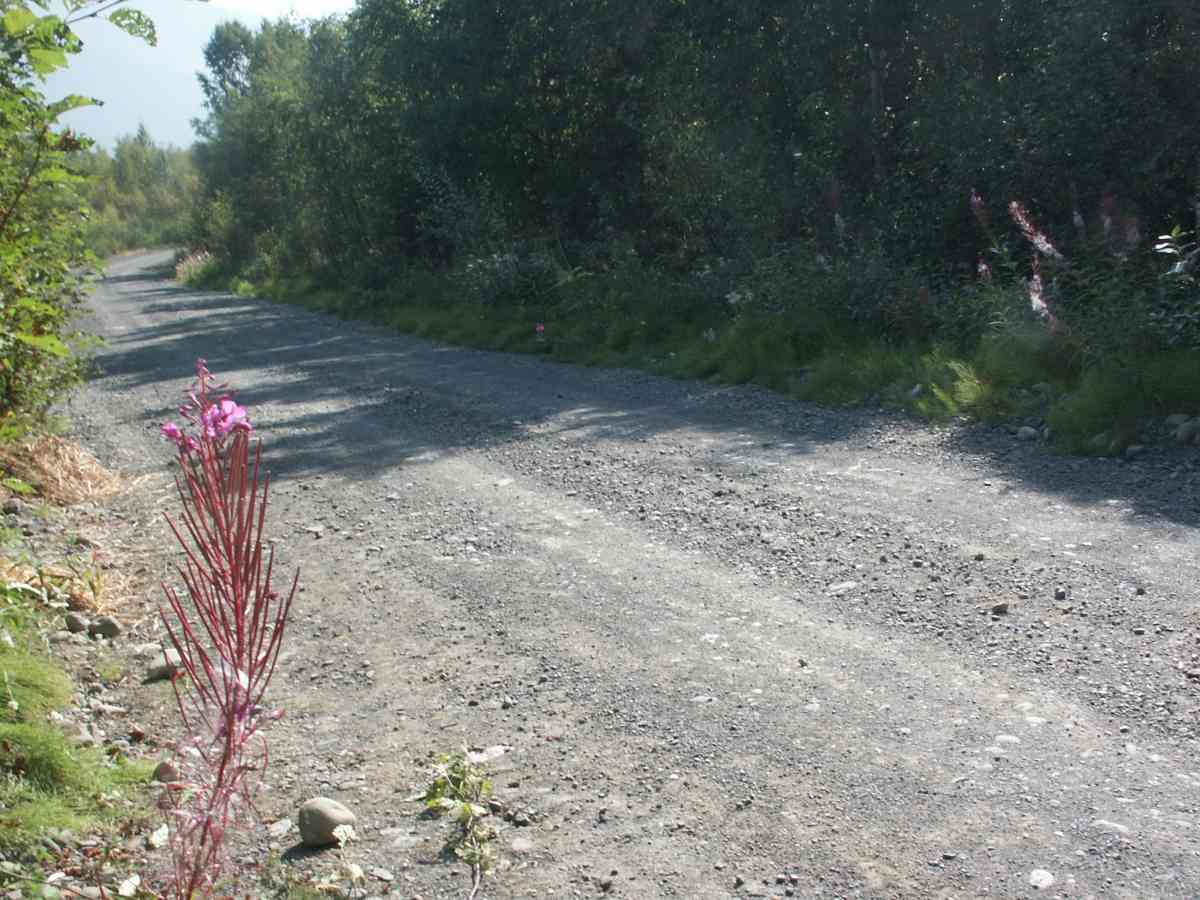
Road Name: BULLDOG TRAIL
Datum: NAD83
Quad Name / ITM: Anchorage A-8
AWC Stream #:
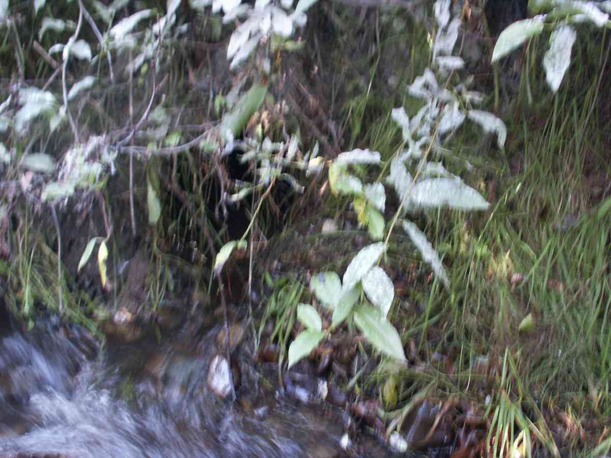
Stream Name: Chester Creek
Elevation:
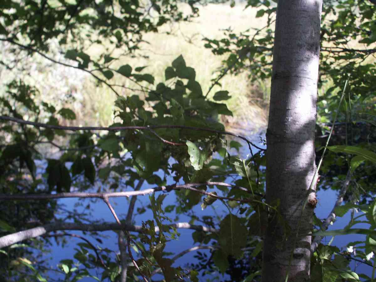
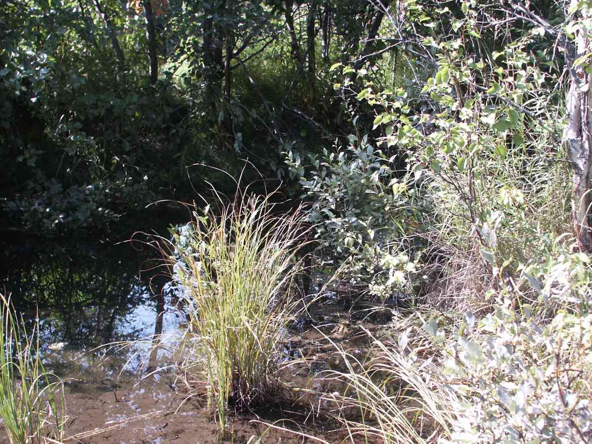
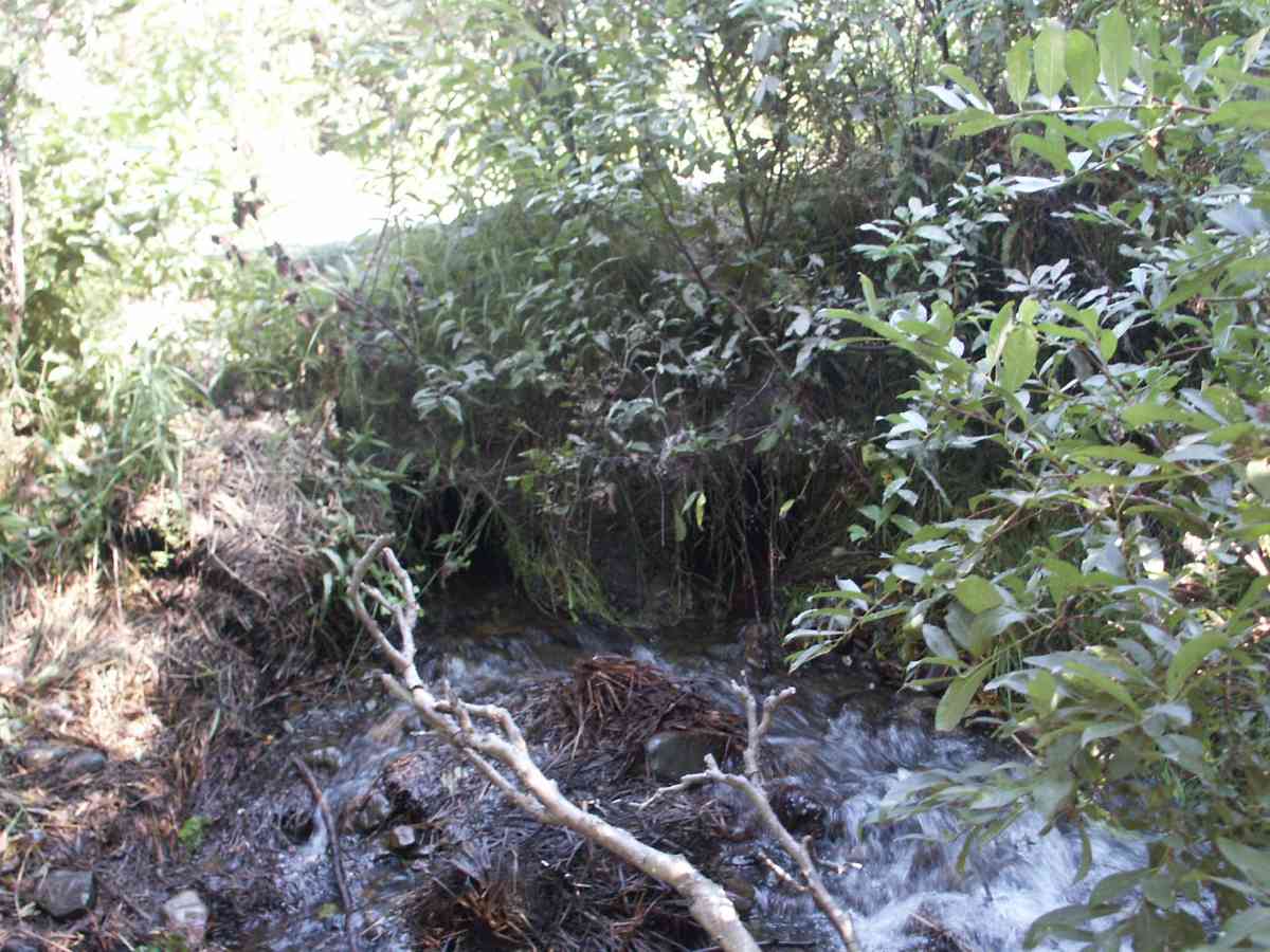
Site Comments: MARSH ABOVE CULVERTS APPROX 1 ACRE IN SIZE, CHESTER CREEK WATERSHED, DRAINS INTO SOUTH FORK OF CHESTER CREEK ON WEST SIDE OF MUDOON RD AT NEW TOWN SITE.
Survey ANC04-2A042
Observers: Dean Beers, Vic Stanculescu
Overall Fish Passage Rating:
Tidal: No
Backwatered: No
Step Pools:
Construction Year:
Comments: MARSH ABOVE CULVERTS APPROXIMATLY 1 ACRE IN SIZE, DOLLY VARDEN (ADULT) PRESENT, CHESTER CREEK WATERSHED, DRAINS INTO SOUTH FORK OF CHESTER CREEK ON WEST SIDE OF MUDOON RD AT NEW TOWN SITE.
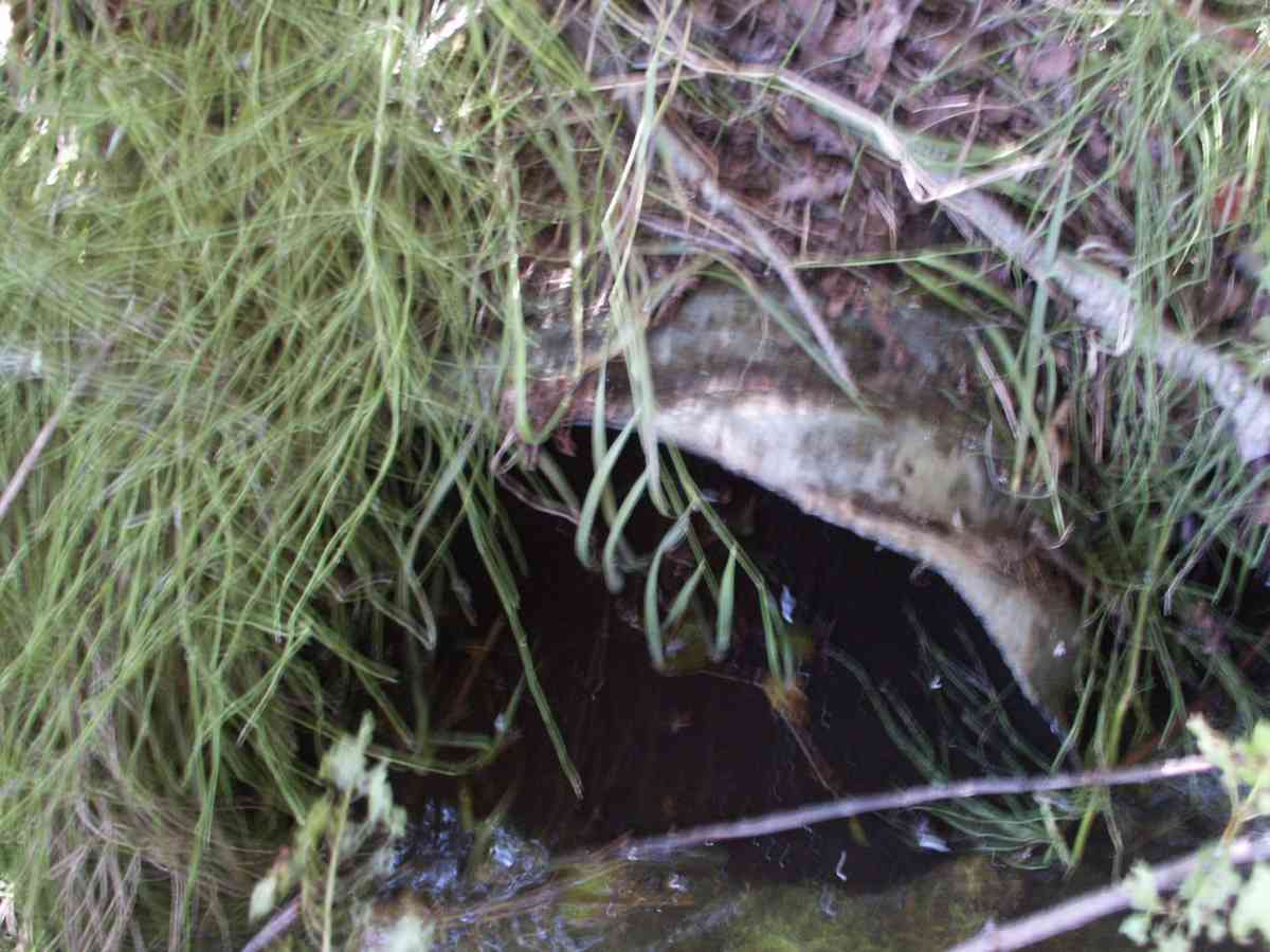
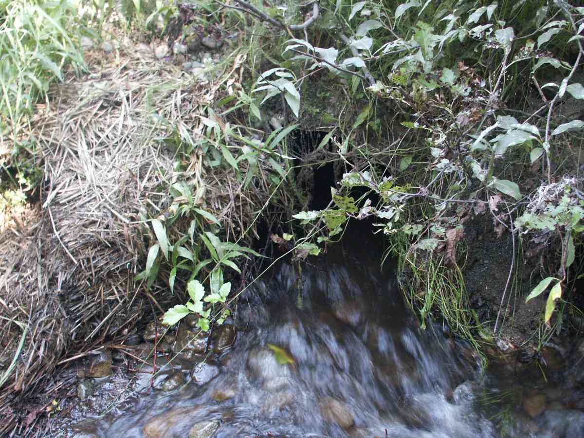
Culvert Measurements
| ID: 1 | Structure Type: Circular pipe (Corrugated Metal) | Fish Passage Rating: | |||||||||||||||||||||||||||||||||||||||||
|
|
|
|||||||||||||||||||||||||||||||||||||||||
| ID: 2 | Structure Type: Circular pipe (Corrugated Metal) | Fish Passage Rating: | |||||||||||||||||||||||||||||||||||||||||
|
|
|
|||||||||||||||||||||||||||||||||||||||||
Stream Measurements
|
|
No stream width data available.
Elevations
| Locator ID | Culvert Number |
River Distance (ft)1 |
Distance From Crossing (ft)2 |
Relative Elevation (ft) |
|---|---|---|---|---|
| D/S Tailcrest or 1st Thalweg | 96.11 | |||
| OHW Left Bank | 96.73 | |||
| D/S Thalweg | 97.01 | |||
| OHW Left Bank | 97.01 | |||
| Max Pool Depth | 97.07 | |||
| U/S Thalweg | 2 | 97.33 | ||
| U/S Thalweg | 1 | 97.44 | ||
| Outlet Invert | 2 | 0.00 | 0.0 | 97.45 |
| Outlet Invert | 1 | 0.00 | 0.0 | 97.41 |
| Road Elev | 16.00 | 100.78 | ||
| Inlet Culvert Invert | 2 | 32.00 | 0.0 | 97.73 |
| Inlet Culvert Invert | 1 | 32.00 | 0.0 | 97.88 |
Notes:
- River distance is measured continuously throughout the survey reach along the thalweg of the stream.
- Measured from each end of the crossing along the thalweg of the stream.
Fish Sampling Efforts
| Gear Type: Visual Observation, Ground (A) | ||
Fish Observations
No fish observations occurred during this survey.
Photos
Questions or comments about this report can be directed to dfg.dsf.webmaster@alaska.gov