Fish Passage Site 20400036
Coordinates (dec. deg.): 61.19961°, -149.83821°
Legal Description: S013N003W20
Region: South Central
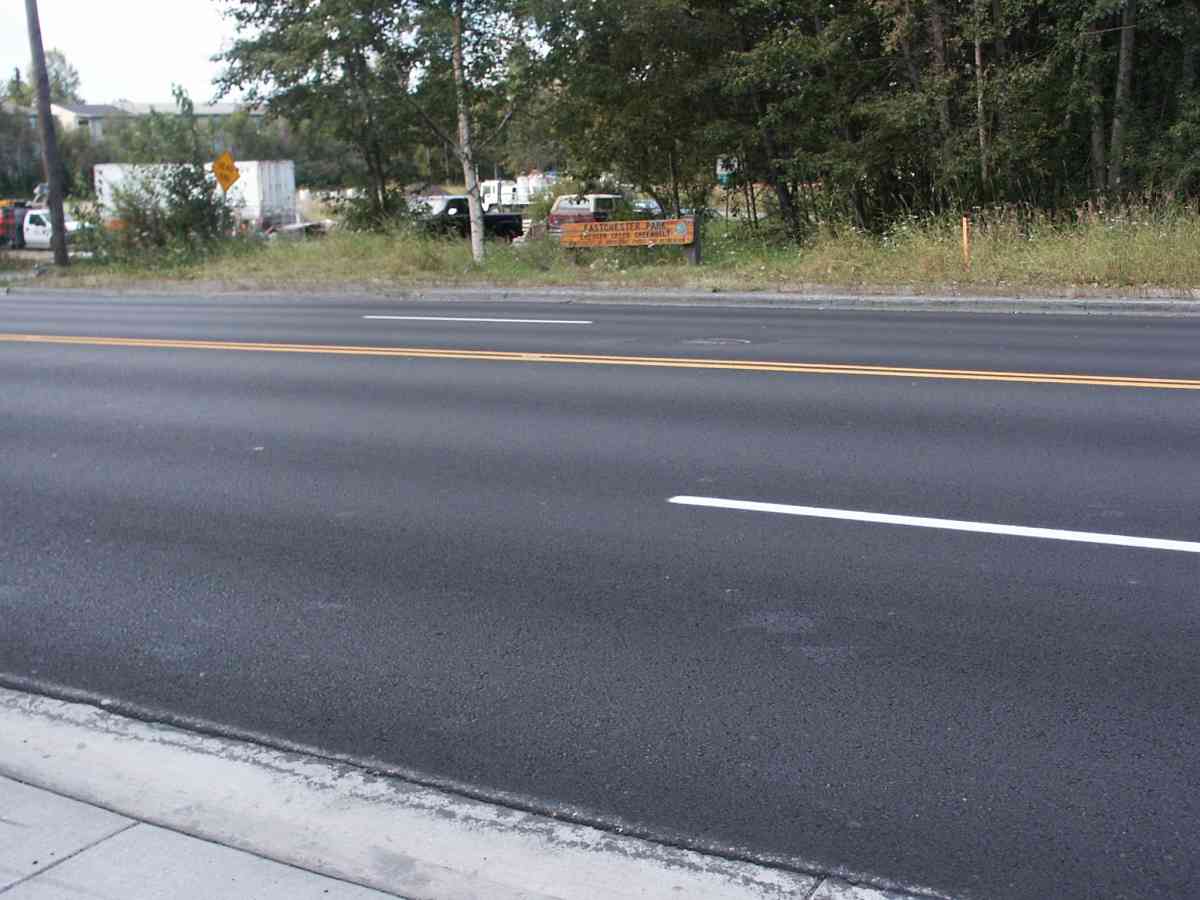
Road Name: Lake Otis Parkway
Datum: NAD83
Quad Name / ITM: Anchorage A-8
AWC Stream #: 247-50-10050
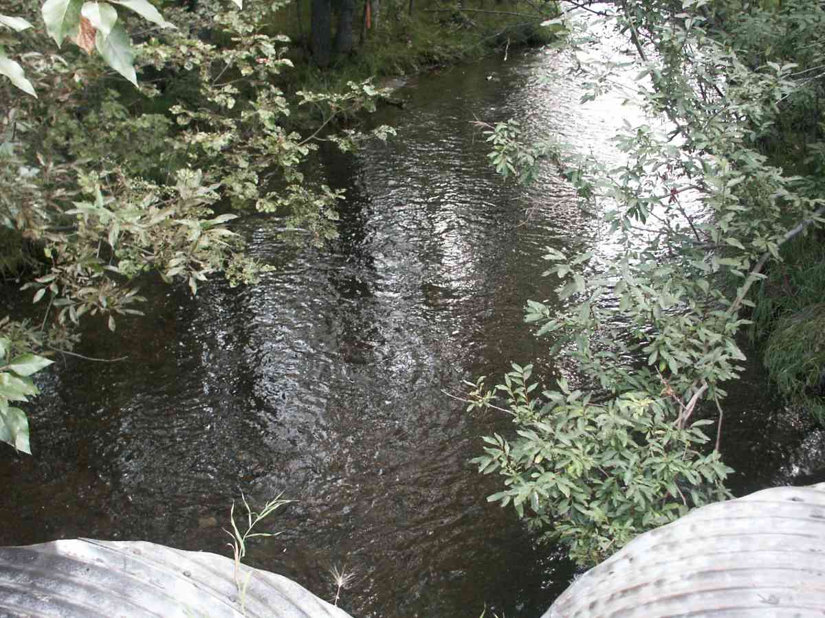
Stream Name: Chester Creek Middle Fork
Elevation:
Site Comments: CHESTER CREEK WATERSHED
Survey ANC04-2A036
Observers: Dean Beers, Joe Miller
Overall Fish Passage Rating:
Tidal: No
Backwatered: No
Step Pools:
Construction Year:
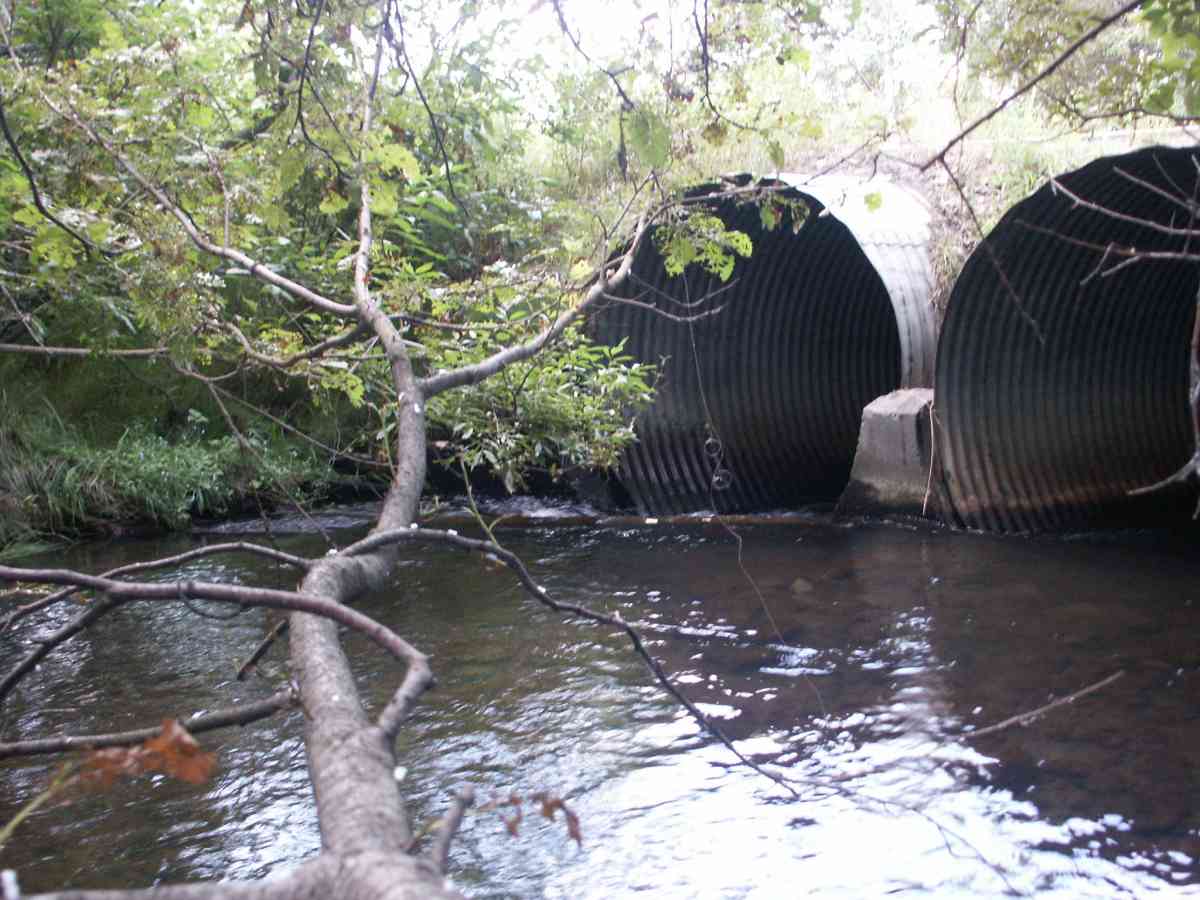
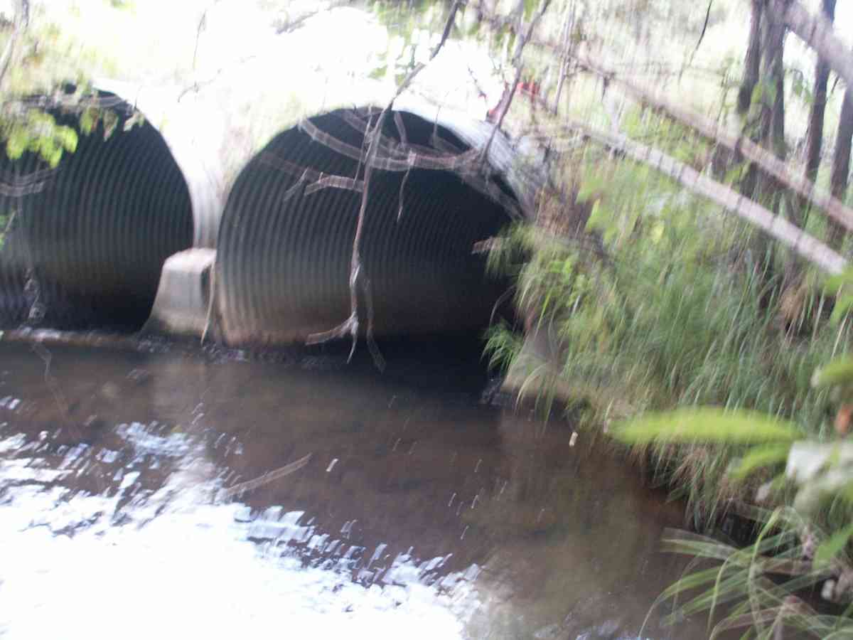
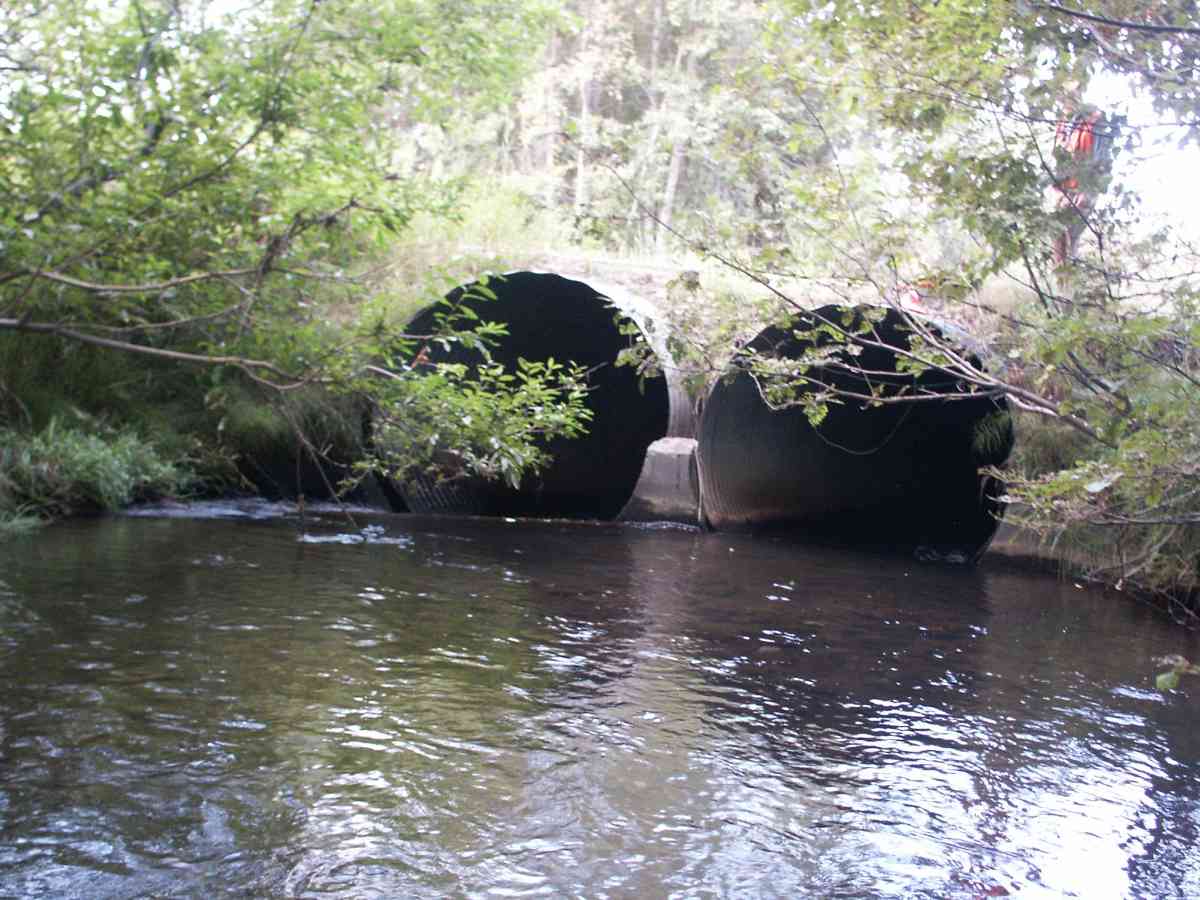
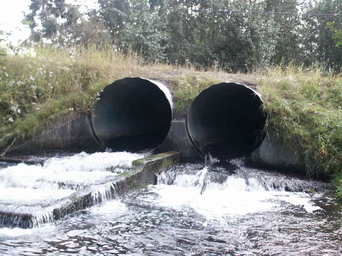
Comments: CHESTER CREEK WATERSHED, THREE RAINBOW TROUT OBSERVED BELOW OUTLET, ALL WERE EXPIRED
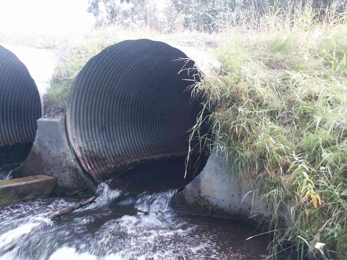
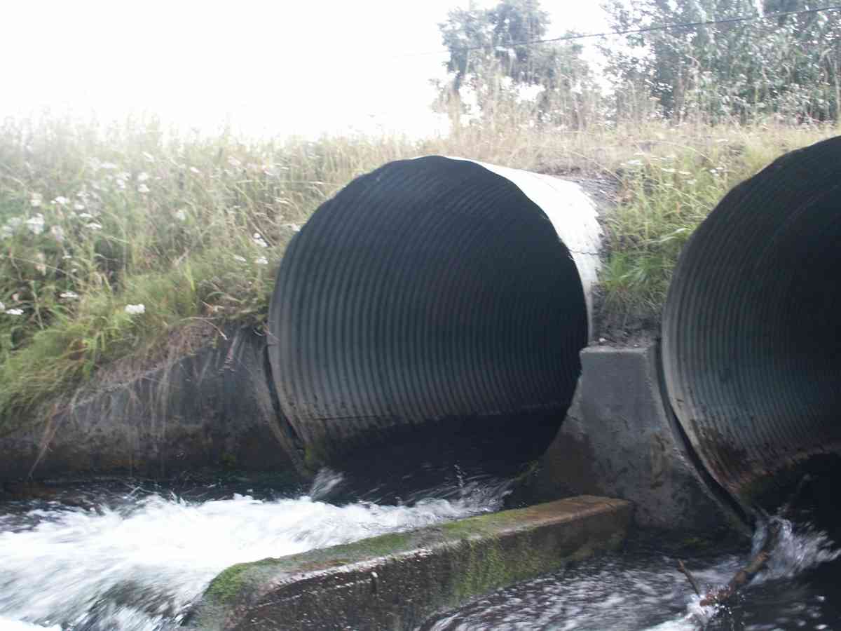
Culvert Measurements
| ID: 1 | Structure Type: Circular pipe (Corrugated Metal) | Fish Passage Rating: | |||||||||||||||||||||||||||||||||||||||||
|
|
|
|||||||||||||||||||||||||||||||||||||||||
| ID: 2 | Structure Type: Circular pipe (Corrugated Metal) | Fish Passage Rating: | |||||||||||||||||||||||||||||||||||||||||
|
|
|
|||||||||||||||||||||||||||||||||||||||||
Stream Measurements
|
|
| Stream Width Type | Distance From Crossing (ft) |
Stream Width (ft) |
|---|---|---|
| Upstream bank full | 75.0 | 30.20 |
| Upstream bank full | 100.0 | 18.00 |
| Upstream bank full | 125.0 | 21.80 |
| Upstream bed width | 75.0 | 16.50 |
| Upstream bed width | 100.0 | 10.70 |
| Upstream bed width | 125.0 | 11.80 |
| Upstream bed width | 150.0 | 10.50 |
| Upstream ordinary high water | 75.0 | 18.80 |
| Upstream ordinary high water | 100.0 | 10.90 |
| Upstream ordinary high water | 125.0 | 12.60 |
| Upstream ordinary high water | 150.0 | 10.00 |
Elevations
| Locator ID | Culvert Number |
River Distance (ft)1 |
Distance From Crossing (ft)2 |
Relative Elevation (ft) |
|---|---|---|---|---|
| D/S Thalweg | 90.29 | |||
| D/S Tailcrest or 1st Thalweg | 91.42 | |||
| OHW Left Bank | 92.46 | |||
| Max Pool Depth | 92.66 | |||
| OHW Left Bank | 92.73 | |||
| U/S Thalweg | 2 | 94.28 | ||
| U/S Thalweg | 1 | 94.29 | ||
| Outlet Invert | 2 | 0.00 | 0.0 | 93.19 |
| Outlet Invert | 1 | 0.00 | 0.0 | 93.28 |
| Road Elev | 39.50 | 100.09 | ||
| Inlet Culvert Invert | 2 | 79.00 | 0.0 | 93.90 |
| Inlet Culvert Invert | 1 | 79.00 | 0.0 | 93.97 |
Notes:
- River distance is measured continuously throughout the survey reach along the thalweg of the stream.
- Measured from each end of the crossing along the thalweg of the stream.
Fish Sampling Efforts
| Gear Type: Visual Observation, Ground (A) | ||
Fish Observations
No fish observations occurred during this survey.
Photos
Questions or comments about this report can be directed to dfg.dsf.webmaster@alaska.gov