Fish Passage Site 20400028
Coordinates (dec. deg.): 61.22306°, -149.85886°
Legal Description: S013N003W17
Region: South Central
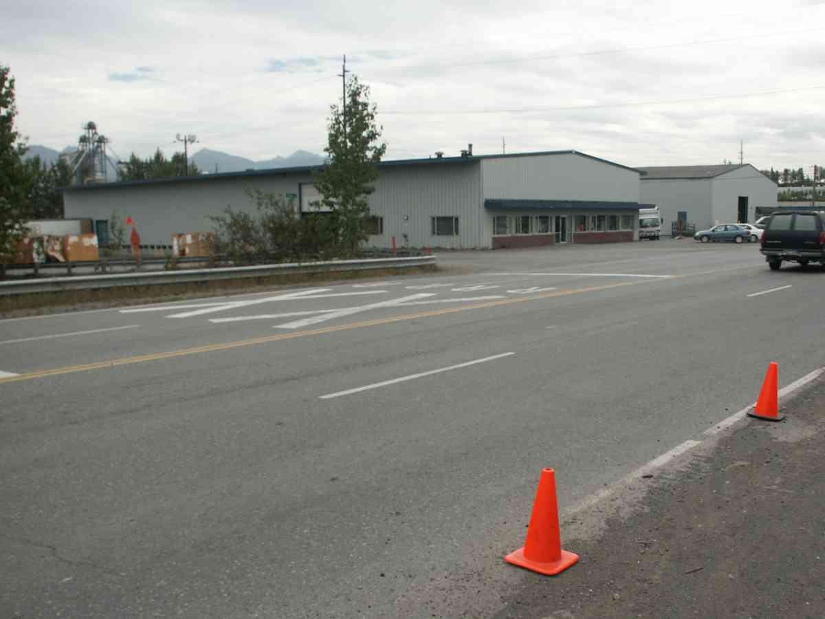
Road Name: Post Road
Datum: NAD83
Quad Name / ITM: Anchorage A-8
AWC Stream #: 247-50-10060
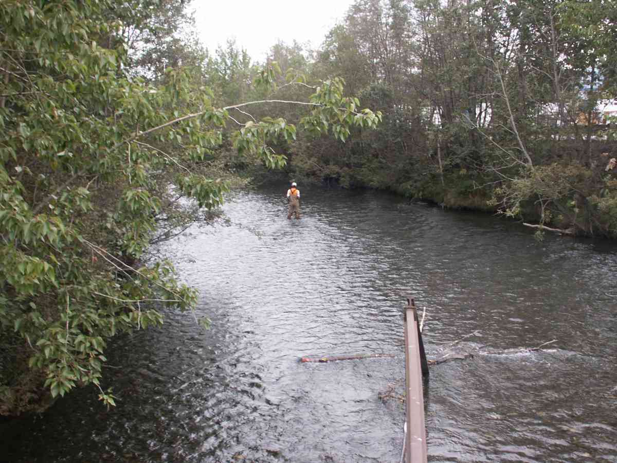
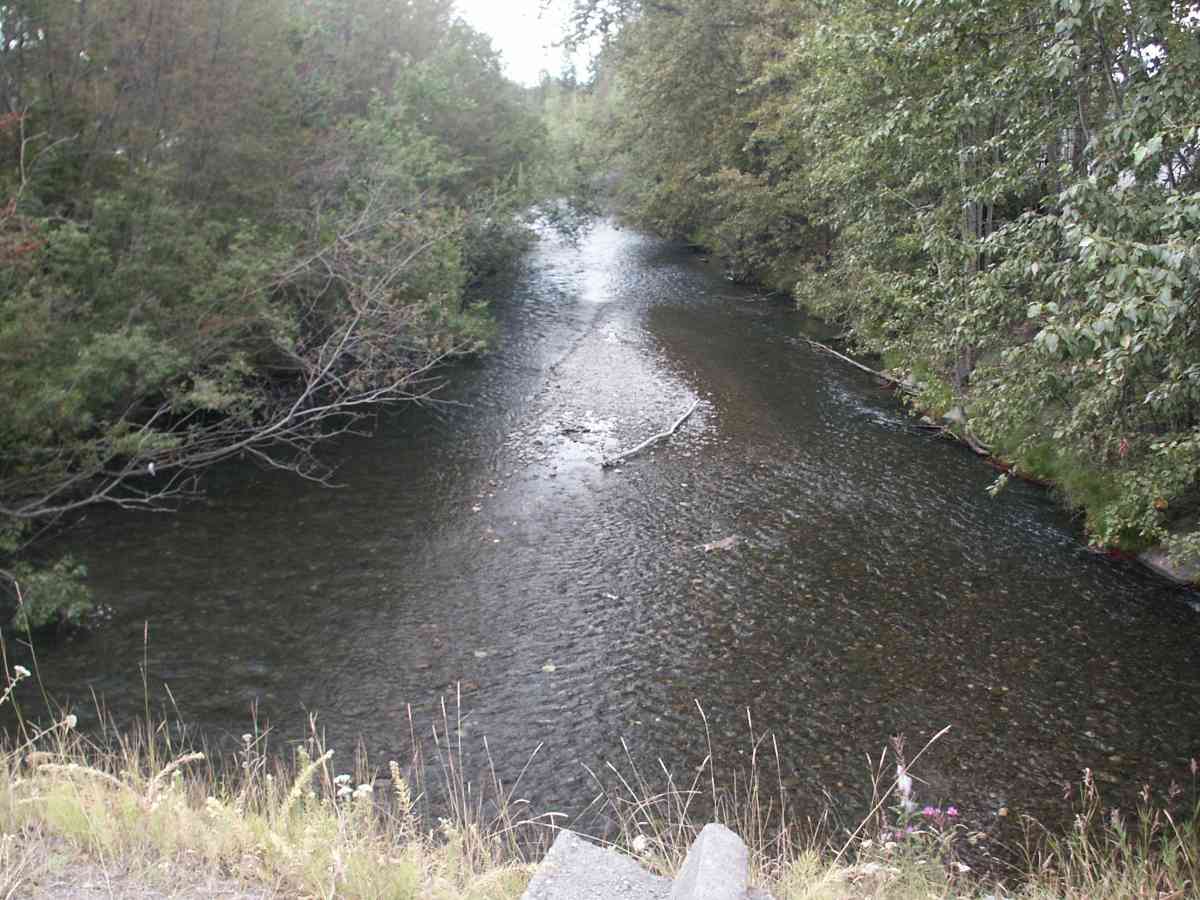
Stream Name: Ship Creek
Elevation:
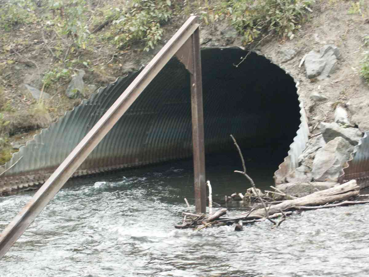
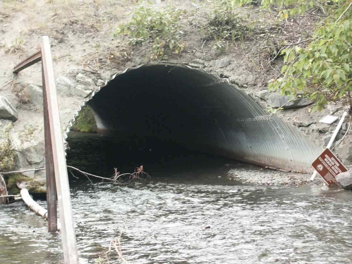
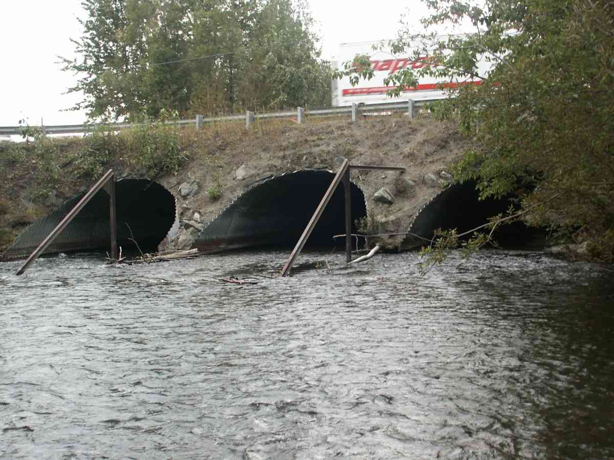
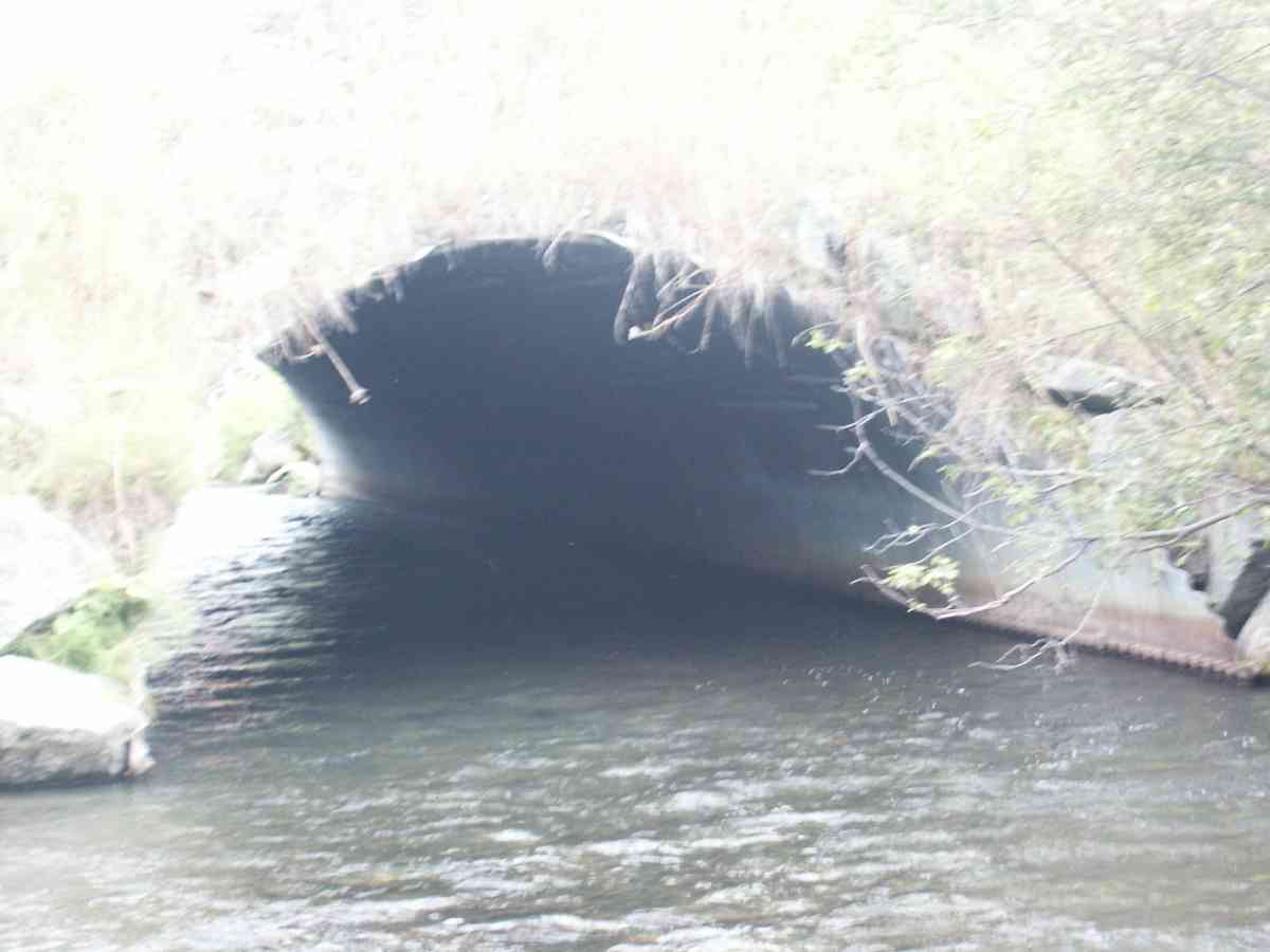
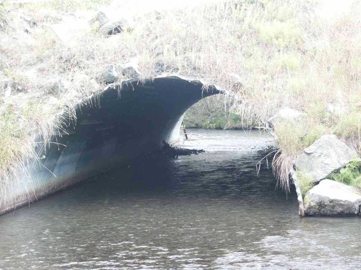
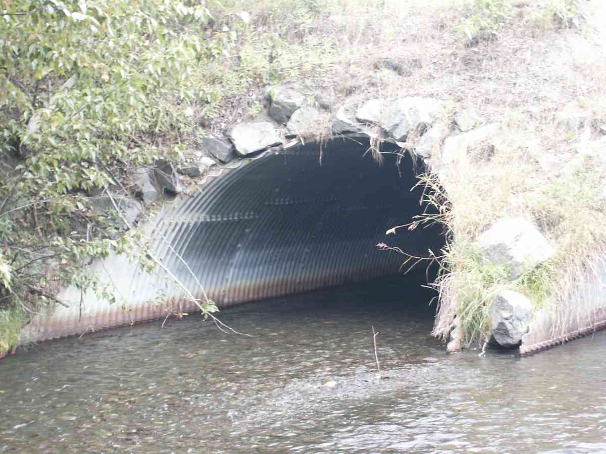
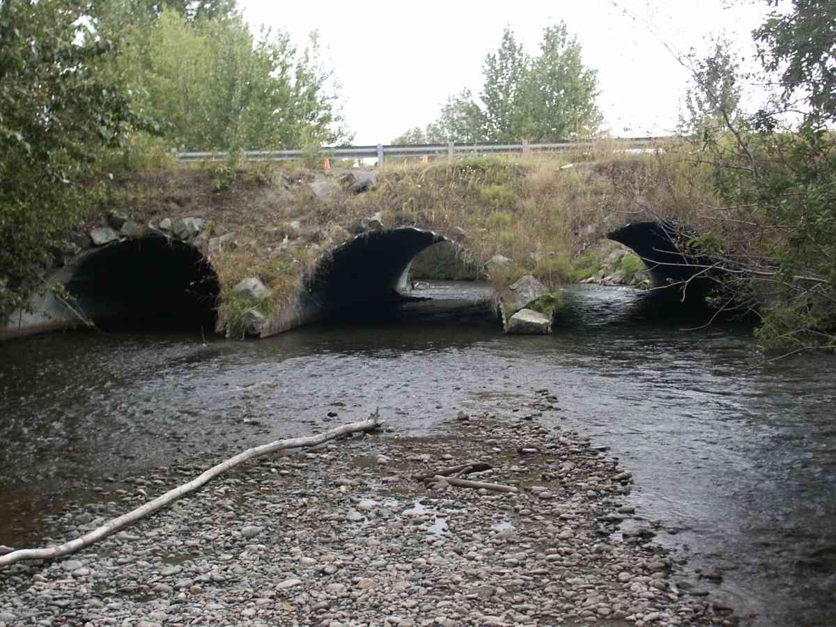
Site Comments: ARCH PIPES. INVERTS TAKEN OFF TOP OF SUBSTRATE, NO THALWEG
Survey ANC04-1A028
Observers: Dean Beers, Joe Miller
Overall Fish Passage Rating:
Tidal: No
Backwatered: No
Step Pools:
Construction Year:
Comments: ARCH PIPES. INVERTS TAKEN OFF TOP OF SUBSTRATE, NO THALWEG, about 200 adult coho passed by while taking data, a few dead chinook carcasses and a few rainbow eyed.
Culvert Measurements
| ID: 1 | Structure Type: Closed-bottom arch (Strutural Metal Plate) | Fish Passage Rating: | |||||||||||||||||||||||||||||||||||||||||
|
|
|
|||||||||||||||||||||||||||||||||||||||||
| ID: 2 | Structure Type: Closed-bottom arch (Strutural Metal Plate) | Fish Passage Rating: | |||||||||||||||||||||||||||||||||||||||||
|
|
|
|||||||||||||||||||||||||||||||||||||||||
| ID: 3 | Structure Type: Closed-bottom arch (Strutural Metal Plate) | Fish Passage Rating: | |||||||||||||||||||||||||||||||||||||||||
|
|
|
|||||||||||||||||||||||||||||||||||||||||
Stream Measurements
|
|
| Stream Width Type | Distance From Crossing (ft) |
Stream Width (ft) |
|---|---|---|
| Upstream bank full | 75.0 | 52.80 |
| Upstream bank full | 100.0 | 58.00 |
| Upstream bank full | 125.0 | 48.90 |
| Upstream bank full | 150.0 | 50.60 |
| Upstream bed width | 75.0 | 48.50 |
| Upstream bed width | 100.0 | 41.70 |
| Upstream bed width | 125.0 | 46.10 |
| Upstream bed width | 150.0 | 41.60 |
| Upstream ordinary high water | 75.0 | 48.50 |
| Upstream ordinary high water | 100.0 | 55.80 |
| Upstream ordinary high water | 125.0 | 47.70 |
| Upstream ordinary high water | 150.0 | 43.50 |
Elevations
| Locator ID | Culvert Number |
River Distance (ft)1 |
Distance From Crossing (ft)2 |
Relative Elevation (ft) |
|---|---|---|---|---|
| Max Pool Depth | 82.45 | |||
| D/S Thalweg | 82.45 | |||
| U/S Thalweg | 1 | 83.61 | ||
| OHW Left Bank | 83.76 | |||
| U/S Thalweg | 2 | 83.99 | ||
| U/S Thalweg | 3 | 84.07 | ||
| OHW Left Bank | 84.32 | |||
| Outlet Invert (TAKEN OFF SUBSTRATE) | 1 | 0.00 | 0.0 | 82.37 |
| Outlet Invert (TAKEN OFF SUBSTRATE) | 2 | 0.00 | 0.0 | 83.41 |
| Outlet Invert (TAKEN OFF SUBSTRATE) | 3 | 0.00 | 0.0 | 83.17 |
| Road Elev | 51.00 | 97.33 | ||
| Inlet Culvert Invert (TAKEN OFF SUBSTRATE) | 2 | 102.00 | 0.0 | 83.26 |
| Inlet Culvert Invert (TAKEN OFF SUBSTRATE) | 1 | 102.00 | 0.0 | 82.57 |
| Inlet Culvert Invert (TAKEN OFF SUBSTRATE) | 3 | 102.00 | 0.0 | 83.91 |
Notes:
- River distance is measured continuously throughout the survey reach along the thalweg of the stream.
- Measured from each end of the crossing along the thalweg of the stream.
Fish Sampling Efforts
| Gear Type: Visual Observation, Ground (A) | ||
Fish Observations
No fish observations occurred during this survey.
Photos
Questions or comments about this report can be directed to dfg.dsf.webmaster@alaska.gov