Fish Passage Site 20400018
Coordinates (dec. deg.): 61.39233°, -149.49198°
Legal Description: S015N001W17
Region: South Central
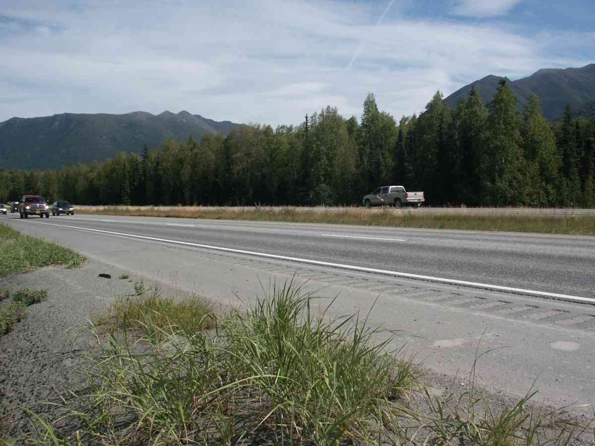
Road Name: Glenn Highway
Datum: NAD83
Quad Name / ITM: Anchorage B-7
AWC Stream #:
Stream Name: Mink Creek
Elevation:
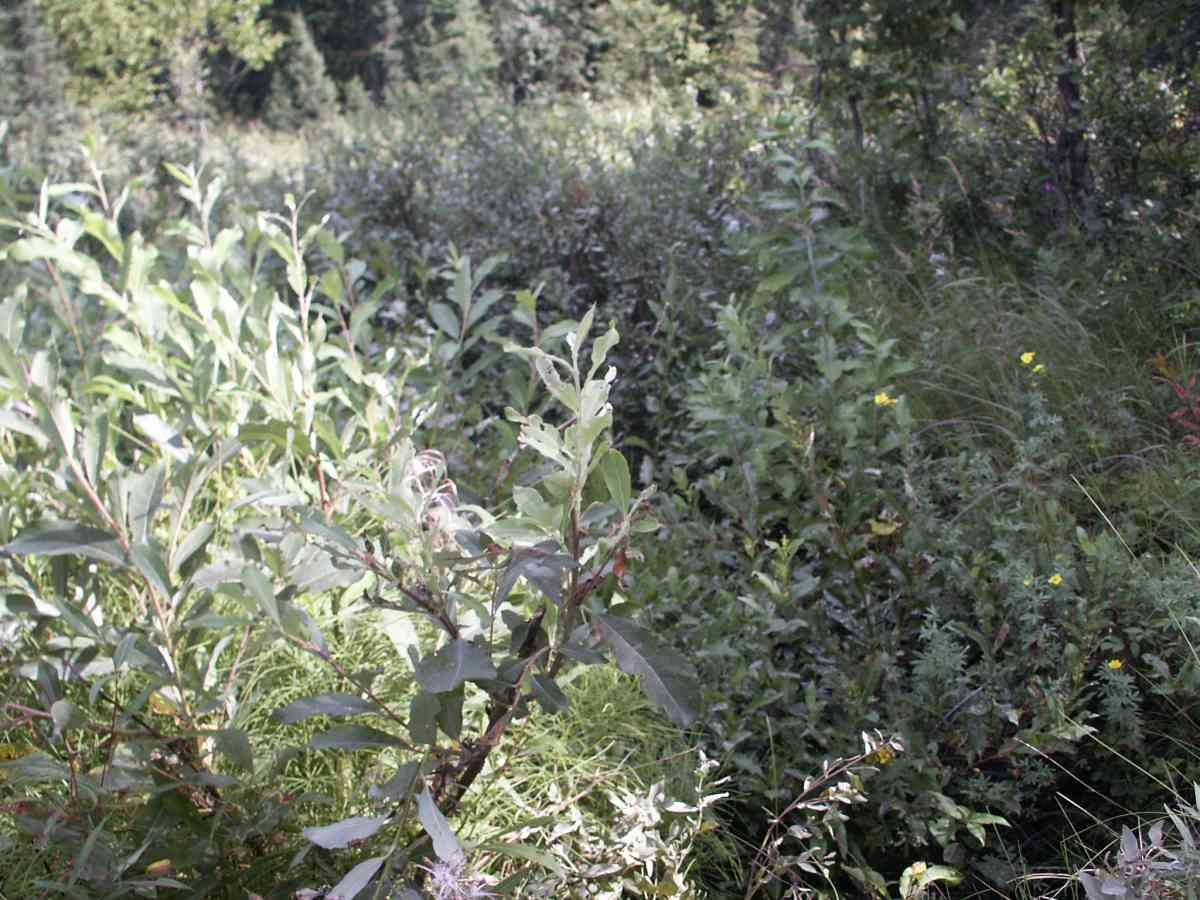
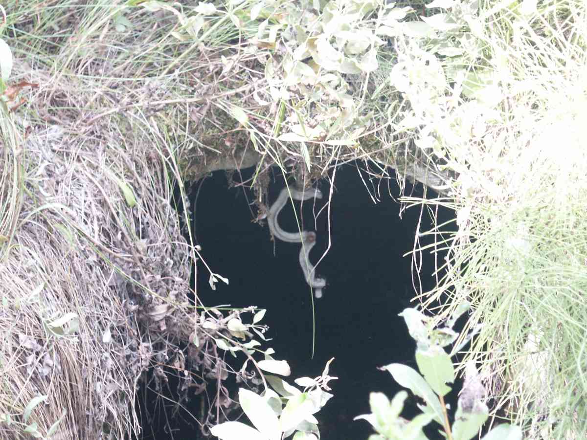
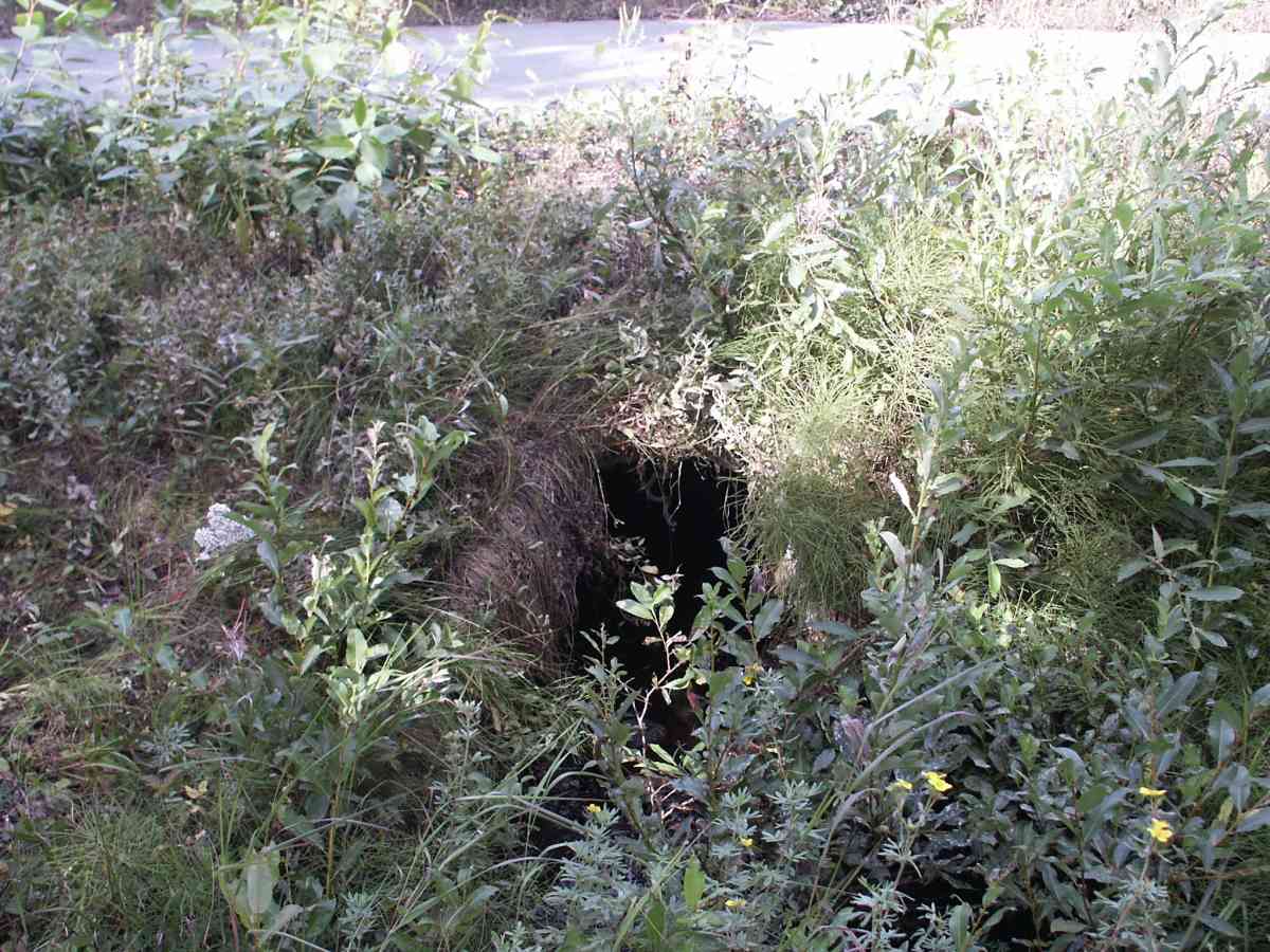
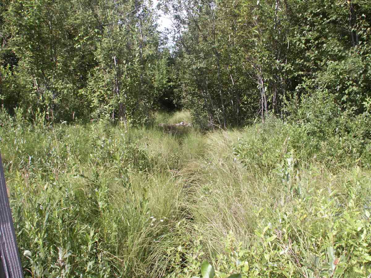
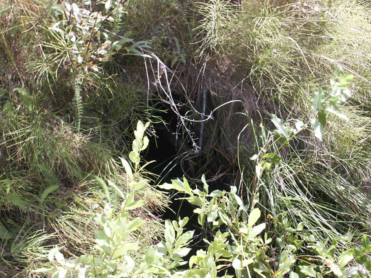
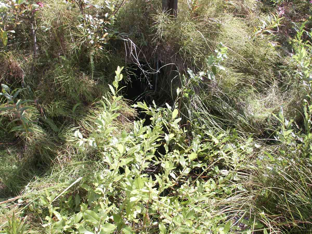
Site Comments: PHOTOS ONLY, SMALL (ABOUT 2FT) CULVERT APPROX 400 FEET LONG,FIRE CREEK WATERSHED, BURBOT TRAPPED ON DOWNSTREAM SIDE. MINK CREEK
Survey ANC04-1A018
Observers: Dean Beers, Joe Miller
Overall Fish Passage Rating:
Tidal: No
Backwatered: No
Step Pools:
Construction Year:
Comments: None
Culvert Measurements
No measurement data available.
Stream Measurements
|
|
No stream width data available.
Elevations
No elevation data available.
Fish Sampling Efforts
| Gear Type: Minnow Trap (A) | Trap Duration(h): 5.5 | |
Fish Observations
No fish observations occurred during this survey.
Photos
Questions or comments about this report can be directed to dfg.dsf.webmaster@alaska.gov