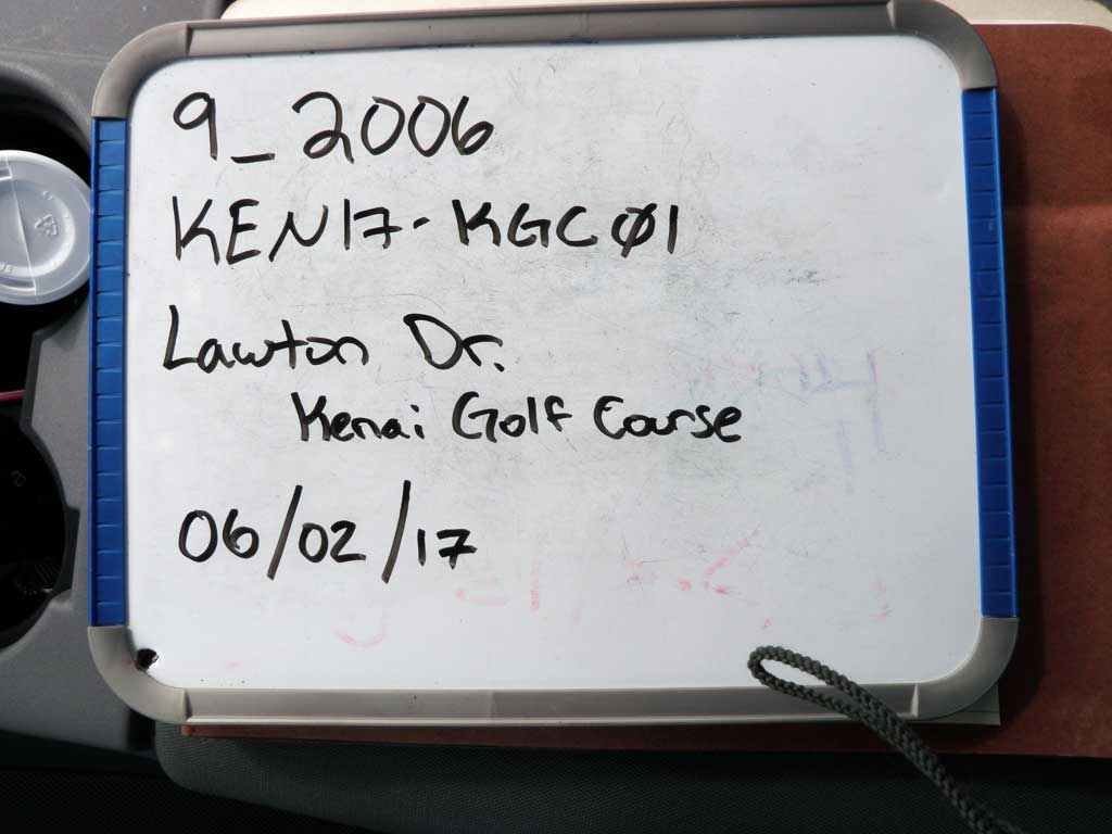
Fish Passage Site 20303751
Coordinates (dec. deg.): 60.56003°, -151.18715°
Legal Description: S006N011W34
Region: South Central
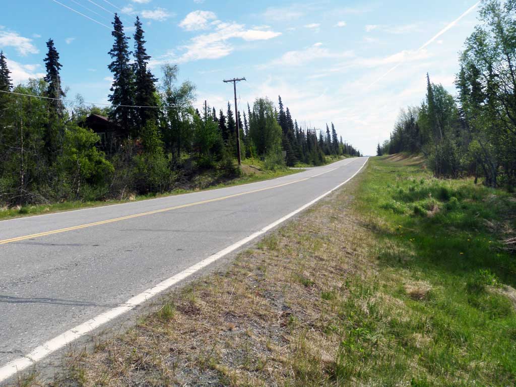
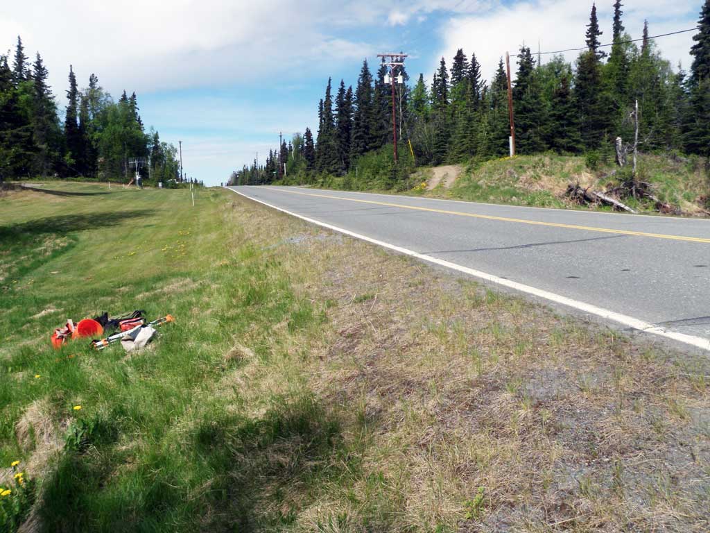
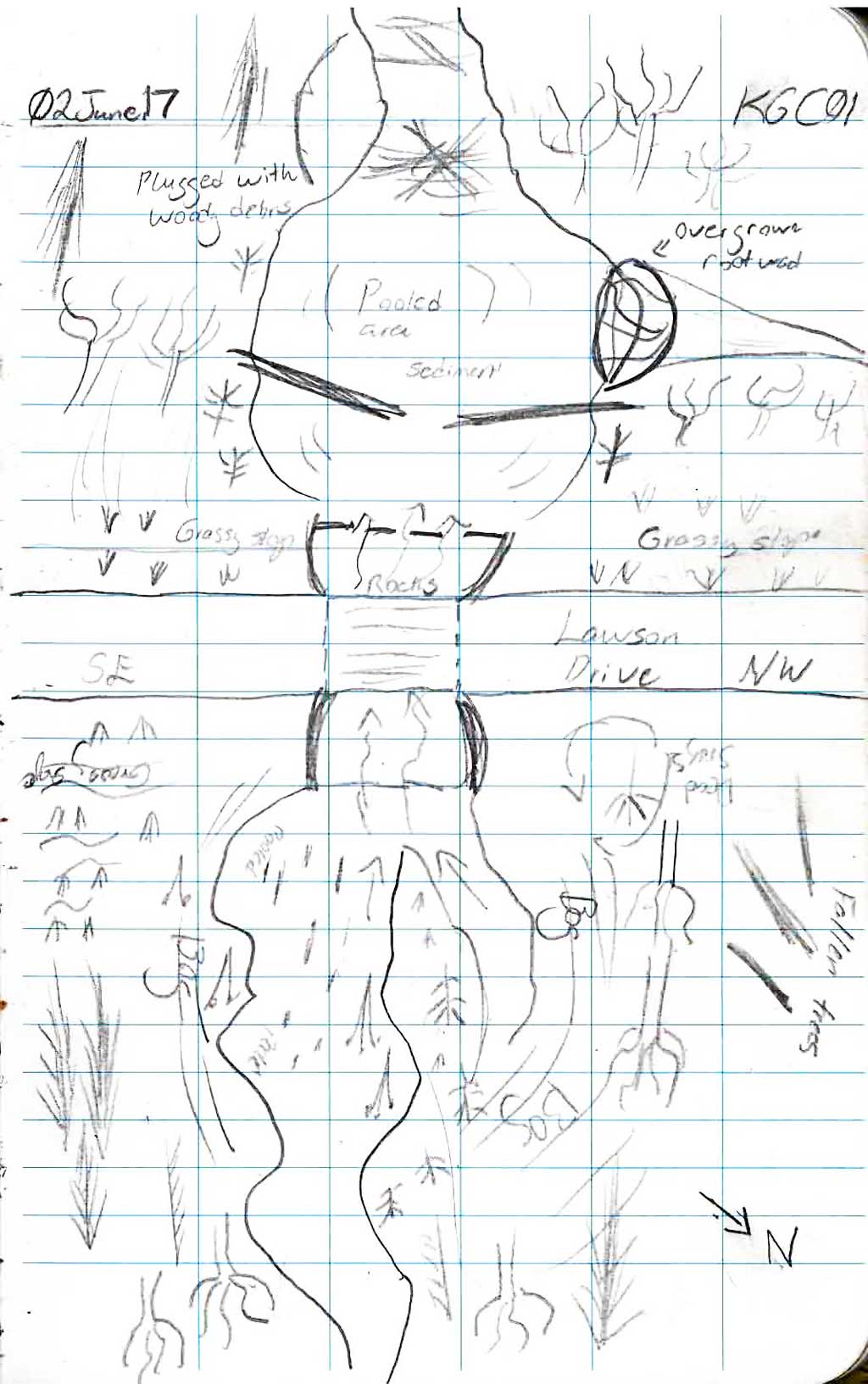
Road Name: Lawton Drive
Datum: NAD83
Quad Name / ITM: Kenai C-4
AWC Stream #: 244-30-10010-2007
Stream Name: Unnamed
Elevation:
Site Comments: None
Survey KEN17-KGC01
Observers: Elise Idle, Maggie Schaffer
Overall Fish Passage Rating:
Tidal: No
Backwatered: No
Step Pools: No
Construction Year:
Site Observations:
- Constriction ratio red
- Woody Debris
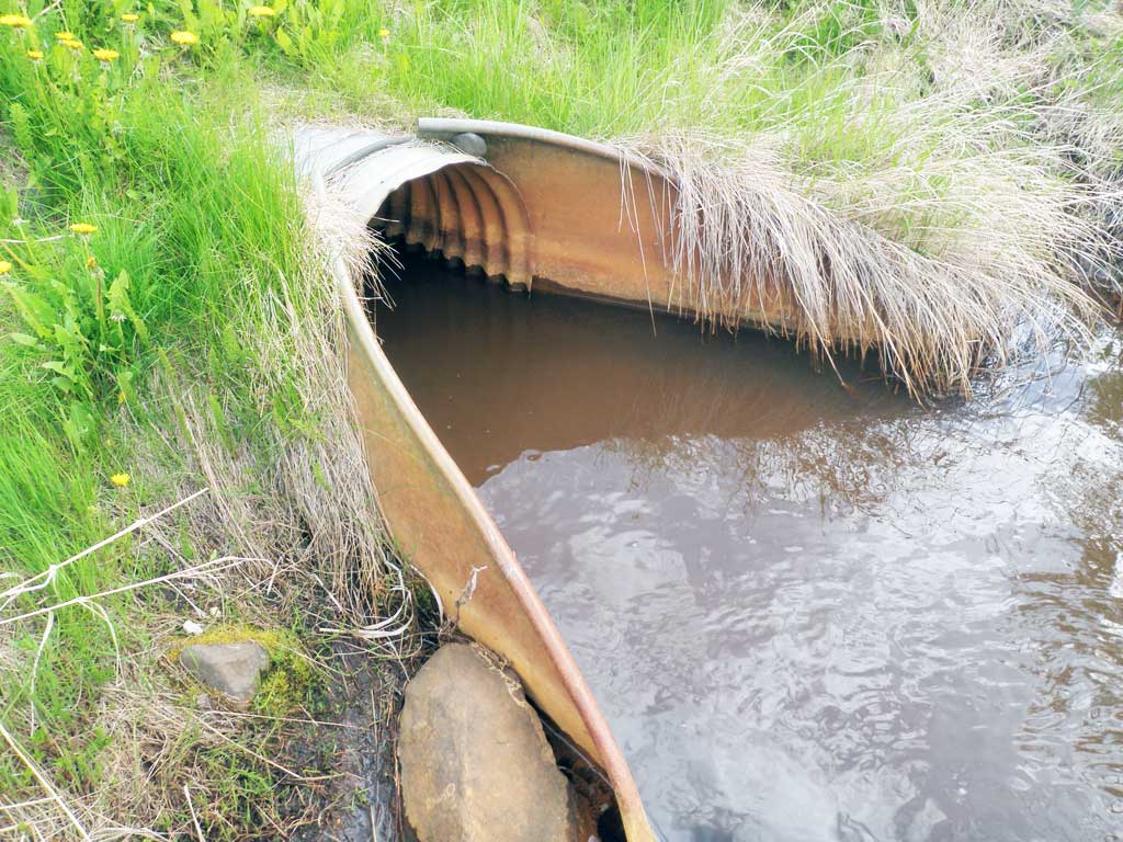
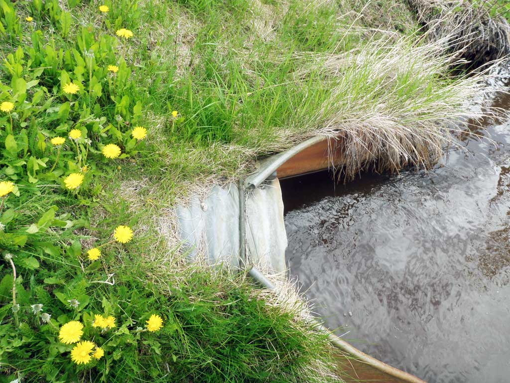
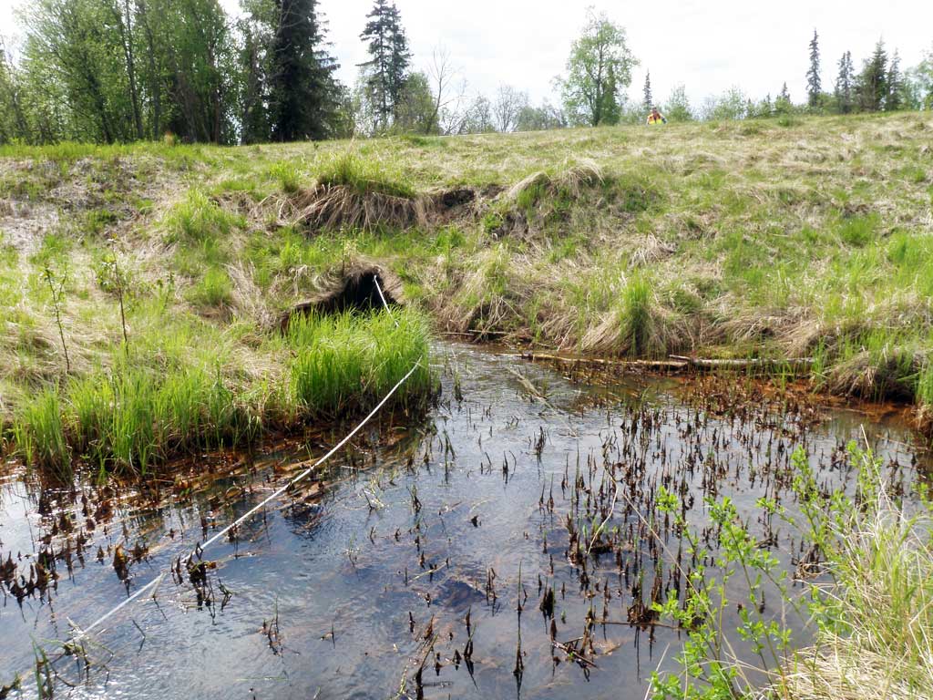
- Inlet perch
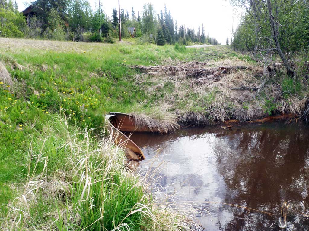
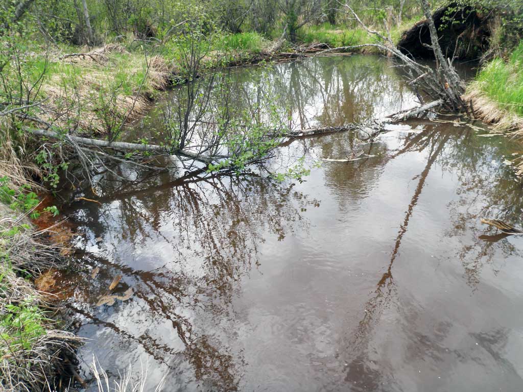
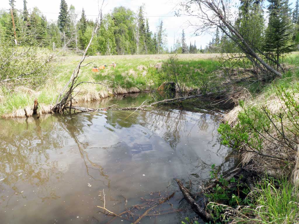
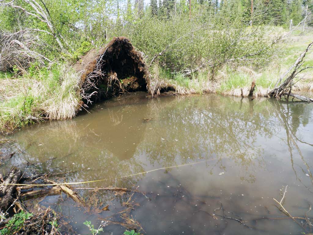
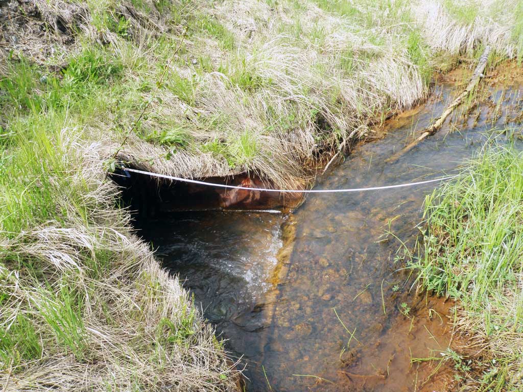
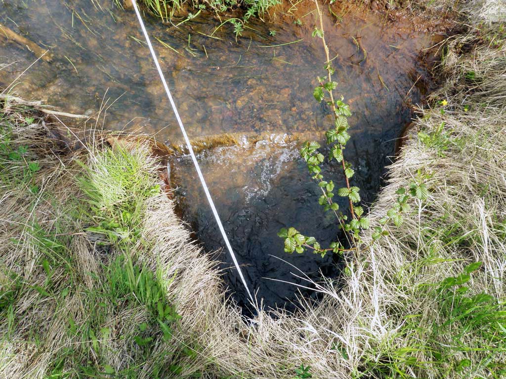
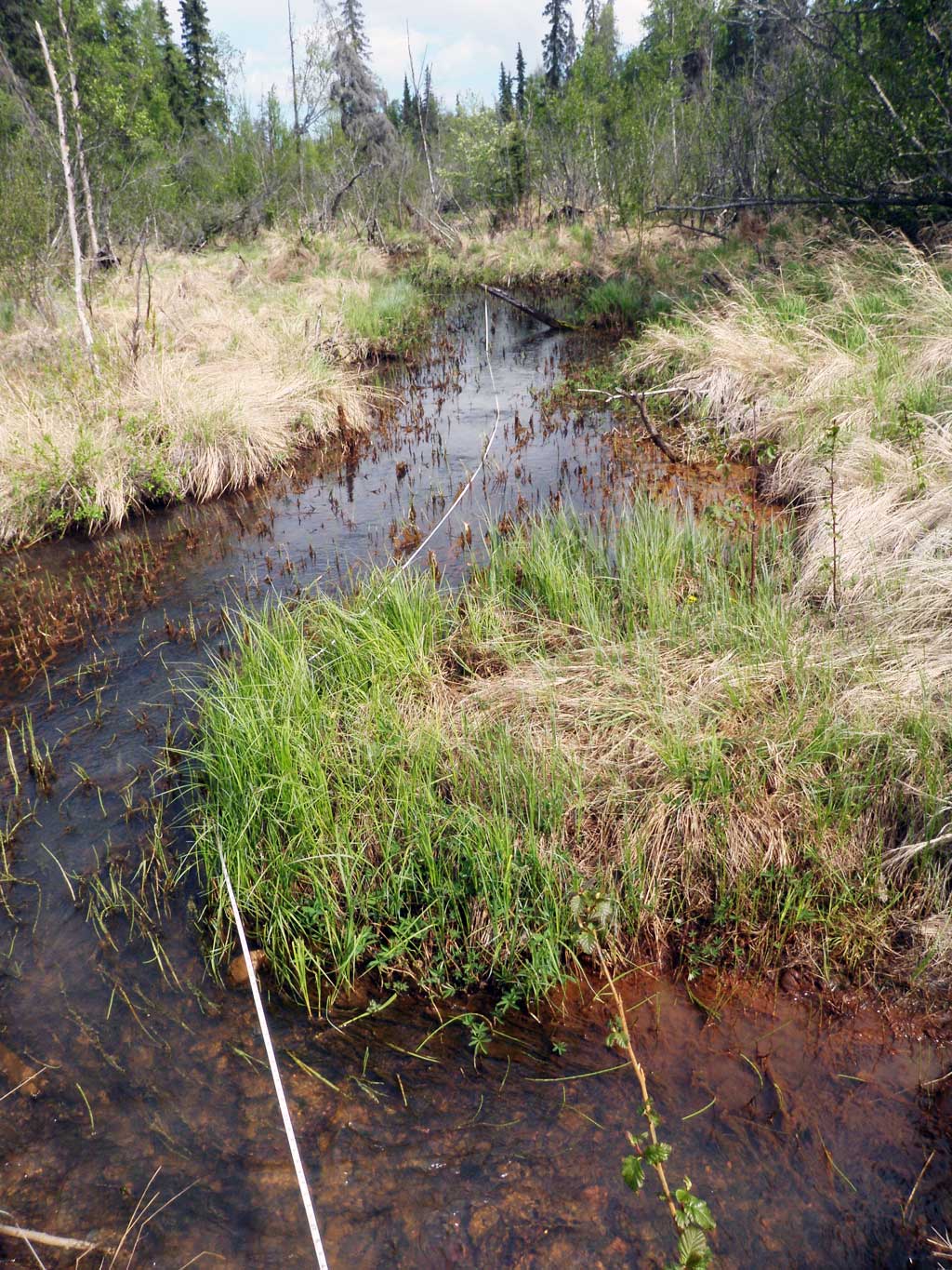
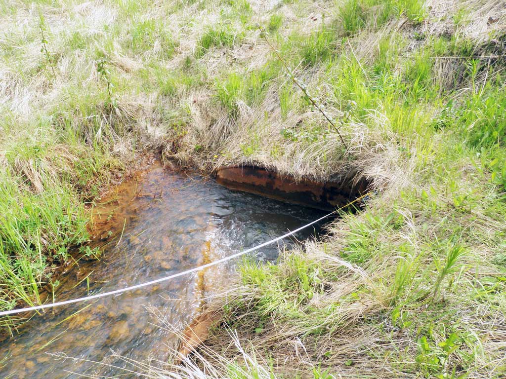
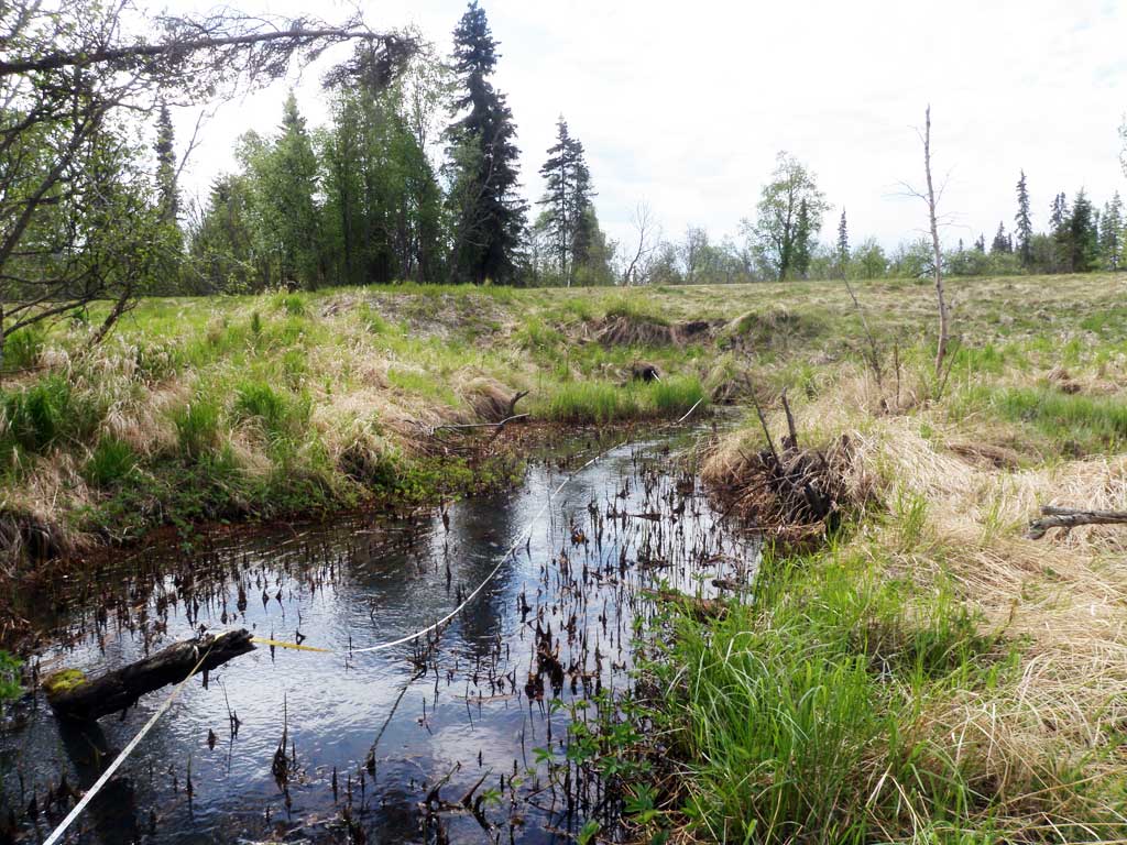
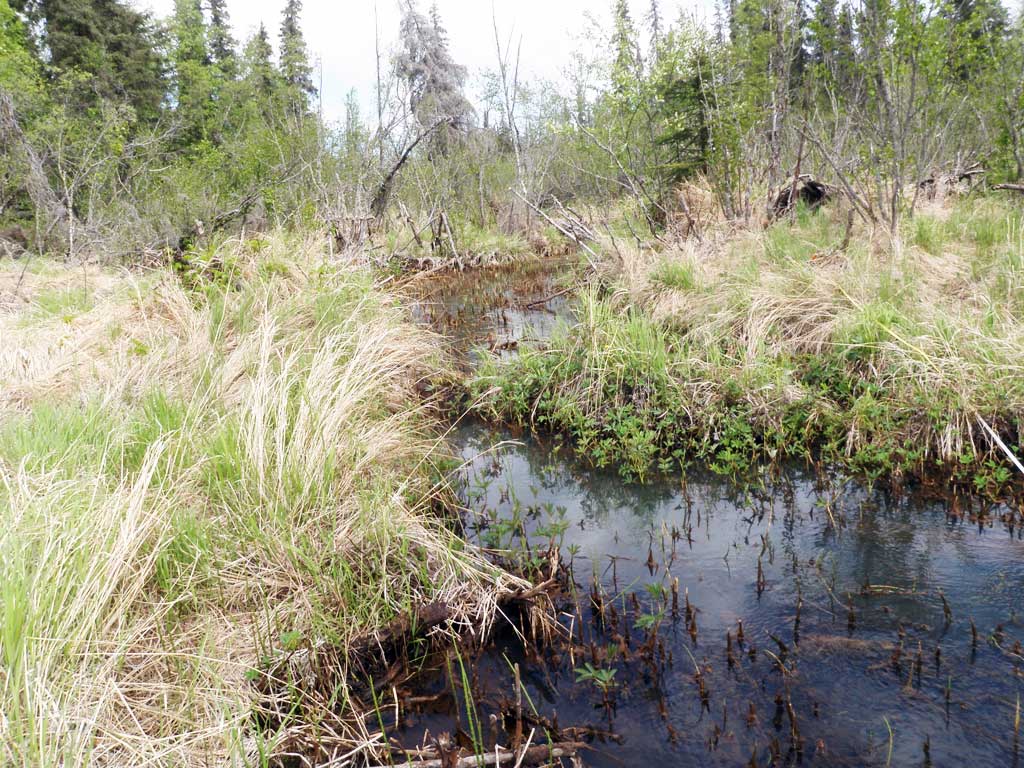
Comments: Culvert assessment information collected and submitted by USFWS. Stream is mostly blocked by debris about 70 feet upstream from culvert. Lots of algae and woody debris in stream. Large pond downstream about 25 feet wide and 54 feet long. Creek runs by golf course downstream. Long. Profile elevations erroneous and not entered.
Culvert Measurements
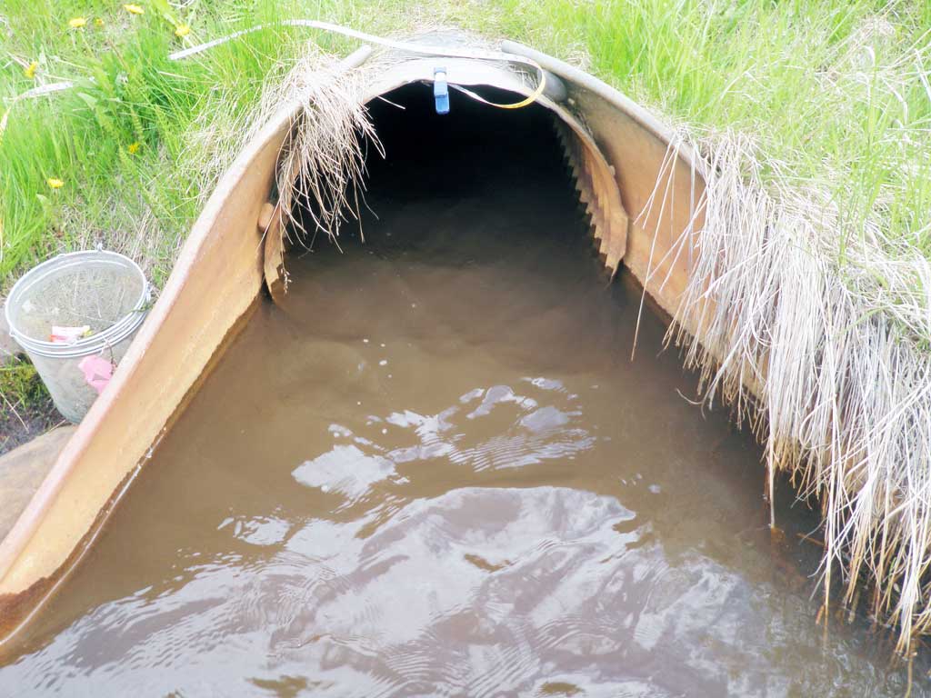
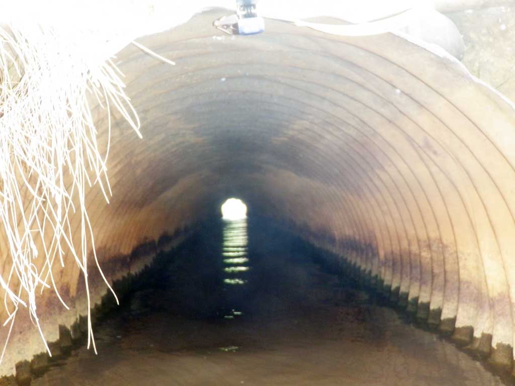
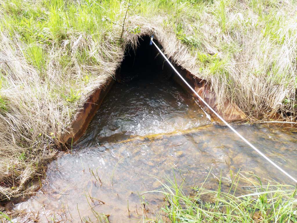
| ID: 1 | Structure Type: Circular pipe (Corrugated steel) | Fish Passage Rating: | |||||||||||||||||||||||||||||||||||||||||
|
|
|
|||||||||||||||||||||||||||||||||||||||||
Comments: Woody debris causing inlet perch. |
|||||||||||||||||||||||||||||||||||||||||||
Culvert Observations:
|
|||||||||||||||||||||||||||||||||||||||||||
Stream Measurements
|
|
| Stream Width Type | Distance From Crossing (ft) |
Stream Width (ft) |
|---|---|---|
| Downstream ordinary high water | 54.0 | 6.50 |
| Downstream ordinary high water | 66.0 | 8.20 |
| Downstream ordinary high water | 80.0 | 9.50 |
| Upstream ordinary high water | 24.0 | 10.40 |
| Upstream ordinary high water | 48.0 | 8.10 |
| Upstream ordinary high water | 69.0 | 7.90 |
| Upstream ordinary high water | 80.0 | 8.30 |
Elevations
No elevation data available.
Fish Sampling Efforts
| Gear Type: Minnow Trap (A) | Trap Duration(h): 1.75 | |
| Comments: Trap set about 60 feet upstream | ||
| Gear Type: Minnow Trap (B) | Trap Duration(h): 1.75 | |
| Comments: Trap set about 60 feet downstream. | ||
Fish Observations
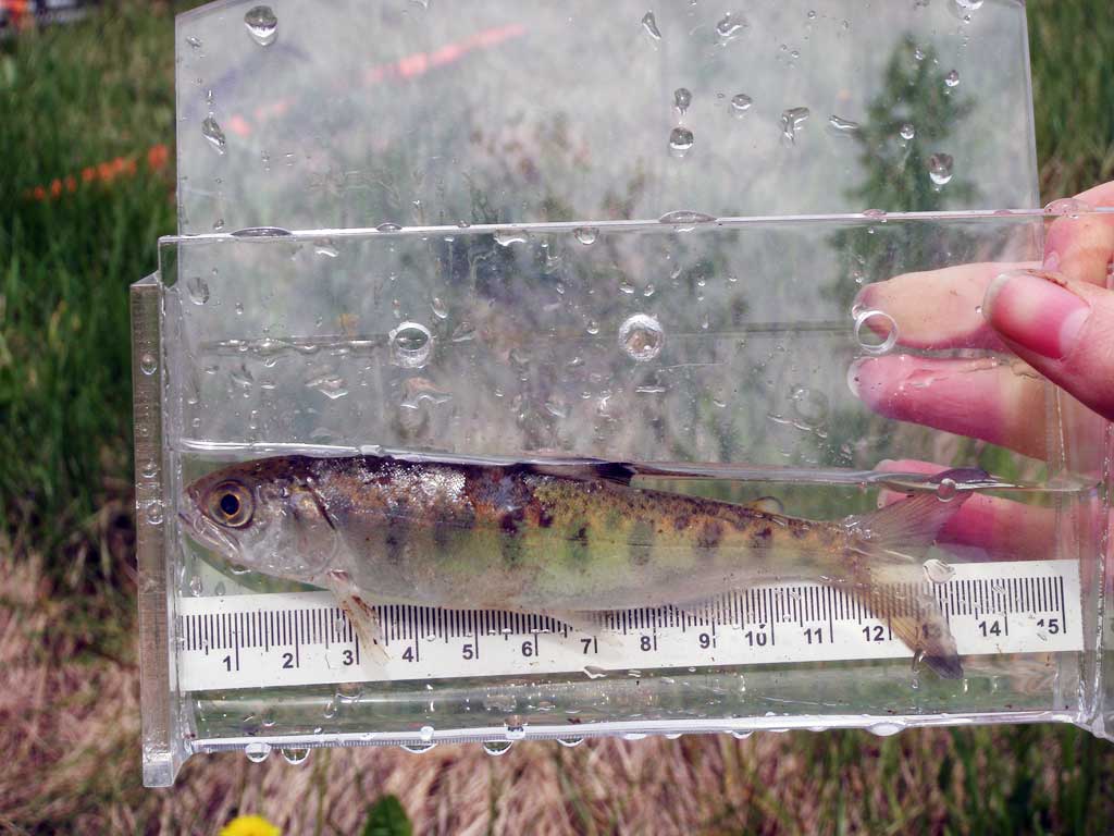
| Species: juvenile Chinook salmon | Life History: Anadromous | ||
| Total Fish Observed: 1 | Fish Measured: 1 | Fork Lengths (mm) Min: 127 Max: 127 Mean: 127 | |
| Collected/Observed by Gear Type: Downstream Minnow Trap (1) | |||
Photos
Questions or comments about this report can be directed to dfg.dsf.webmaster@alaska.gov