Fish Passage Site 20300233
Coordinates (dec. deg.): 60.94120°, -149.21893°
Legal Description: S010N001E23
Region: South Central
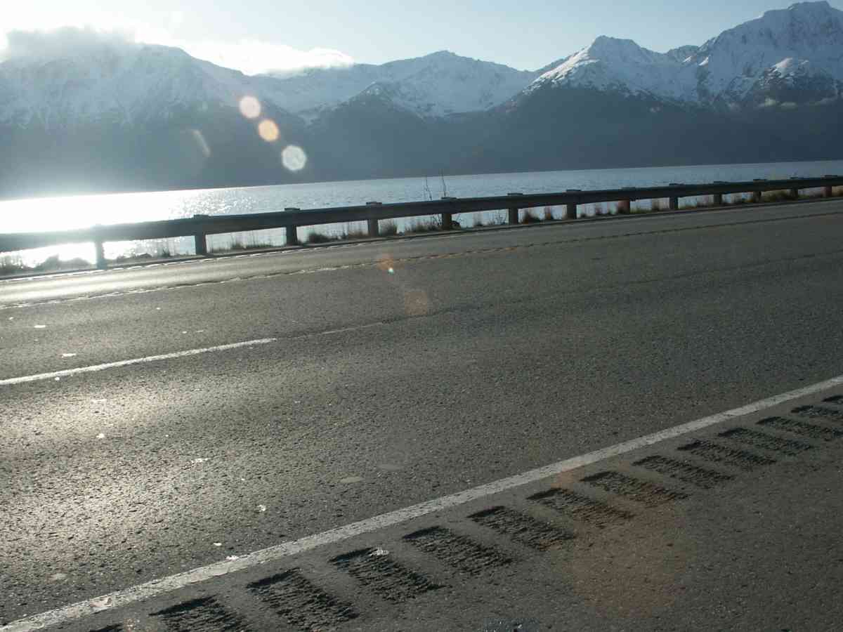
Road Name: Seward Highway
Datum: NAD83
Quad Name / ITM: Seward D-6
AWC Stream #:
Stream Name: Unnamed
Elevation:
Site Comments: NO WATERSHED NAME. MILE 91.7 SEWARD HWY
Survey ANC04-4A233
Observers: Dean Beers, Vic Stanculescu
Overall Fish Passage Rating:
Tidal: Yes
Backwatered: No
Step Pools:
Construction Year:
Comments: NO WATERSHED NAME. MILE 91.7 SEWARD HWY
Culvert Measurements
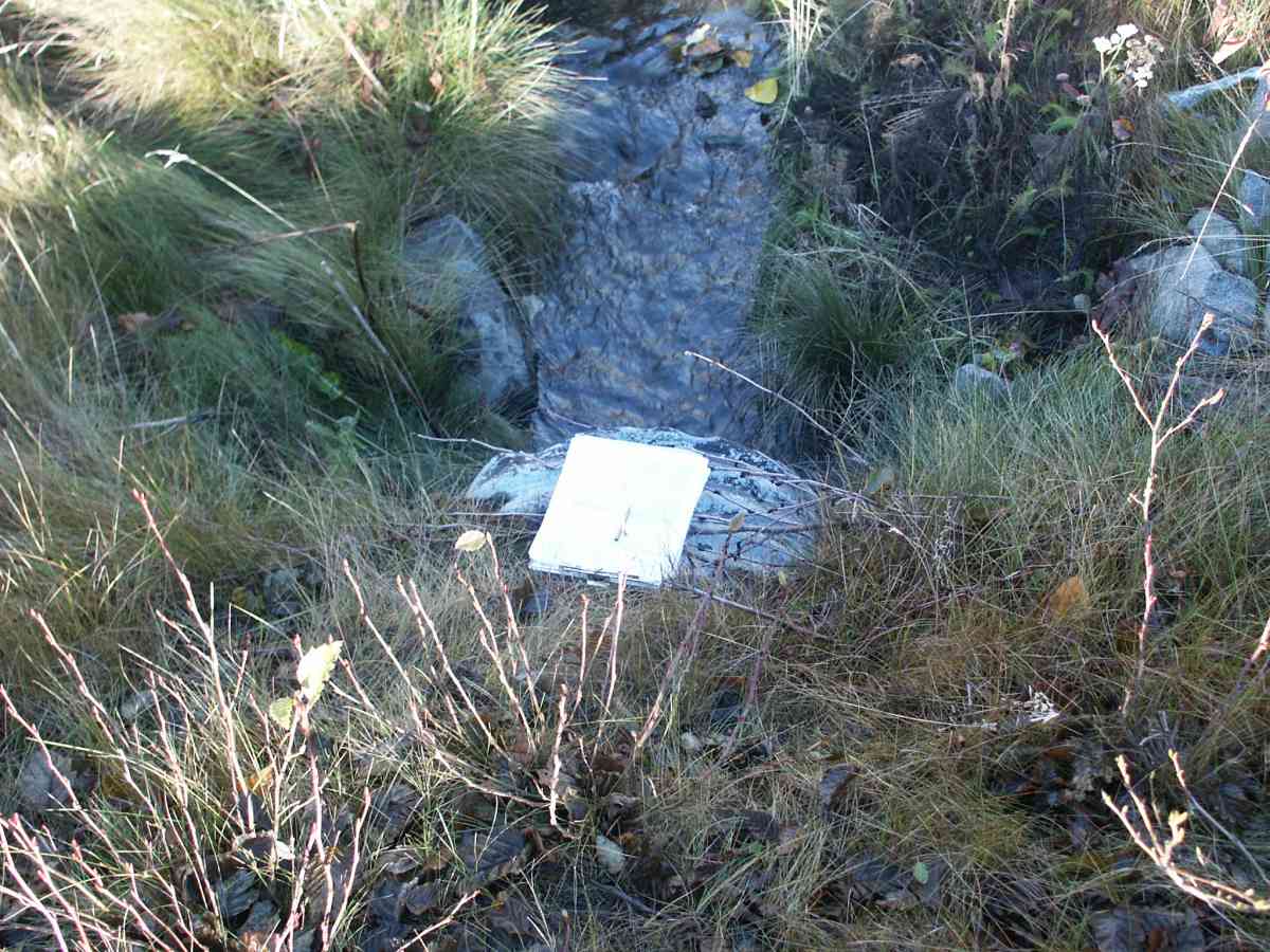
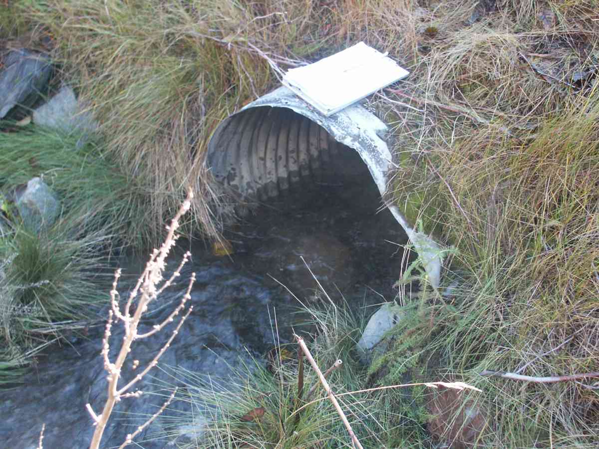
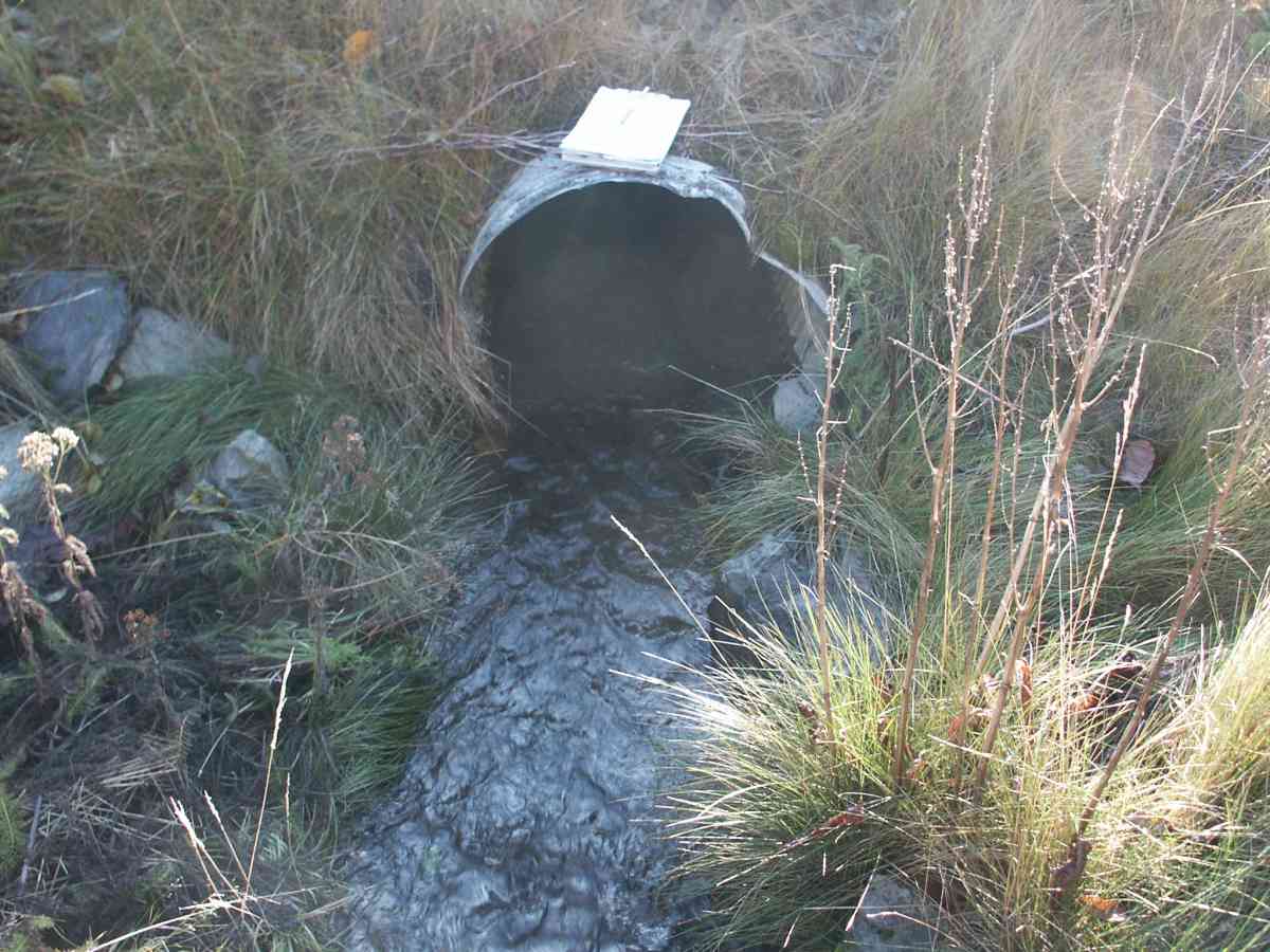
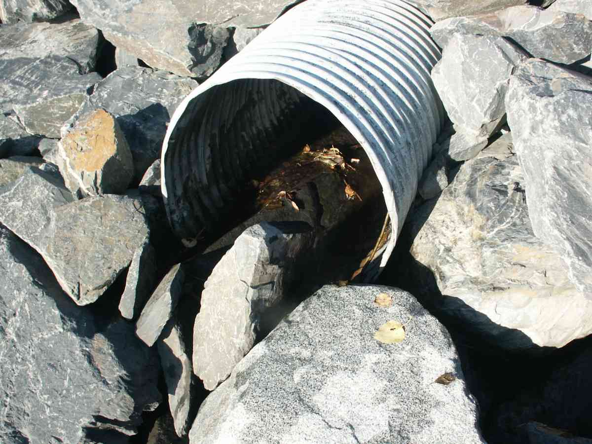
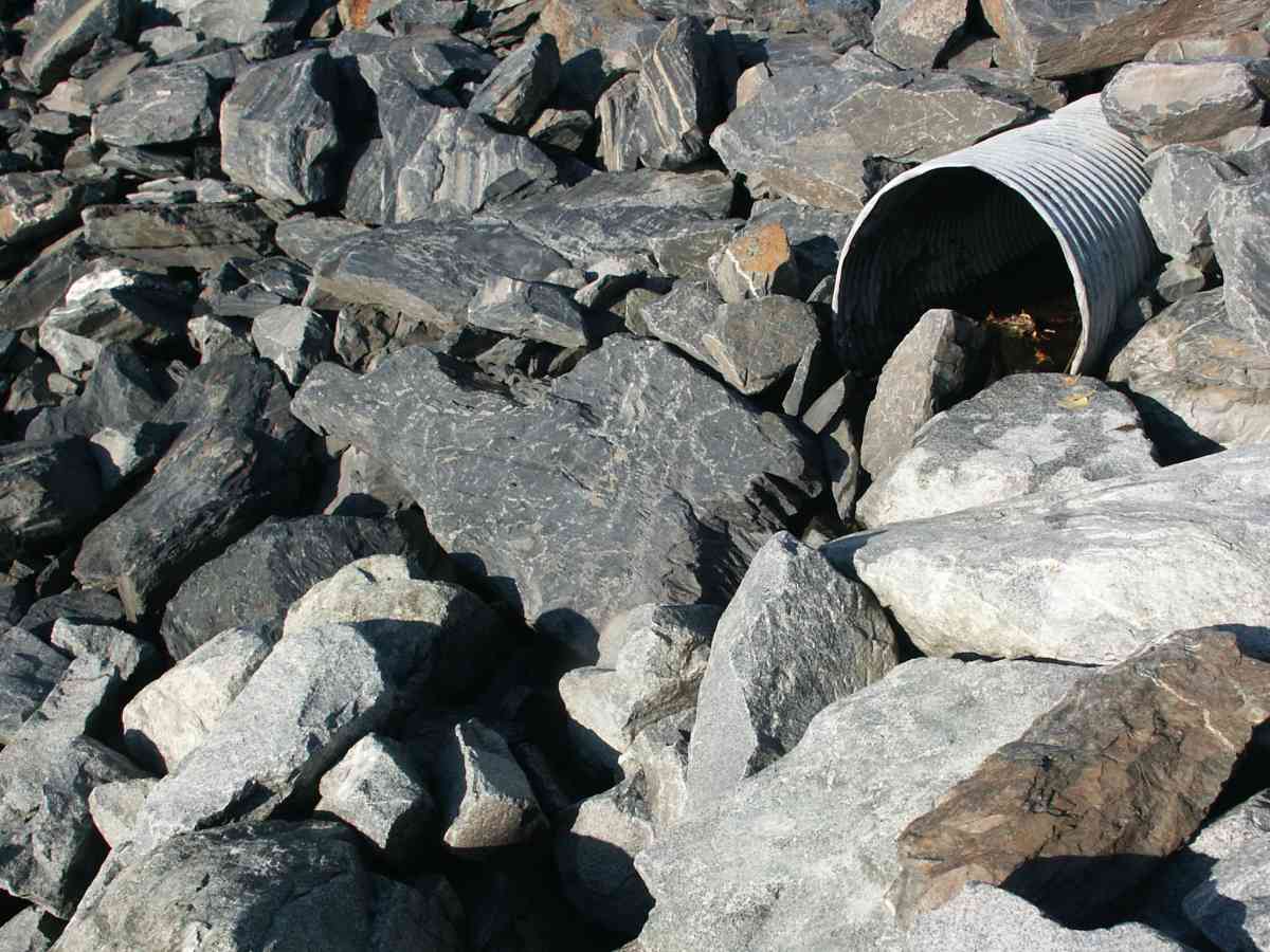
| ID: 1 | Structure Type: Circular pipe (Corrugated Metal) | Fish Passage Rating: | |||||||||||||||||||||||||||||||||||||||||
|
|
|
|||||||||||||||||||||||||||||||||||||||||
Stream Measurements
|
|
No stream width data available.
Elevations
| Locator ID | Culvert Number |
River Distance (ft)1 |
Distance From Crossing (ft)2 |
Relative Elevation (ft) |
|---|---|---|---|---|
| OHW Left Bank | 96.11 | |||
| U/S Thalweg | 1 | 97.67 | ||
| Outlet Invert | 1 | 0.00 | 0.0 | 95.90 |
| Road Elev | 40.50 | 108.16 | ||
| Inlet Culvert Invert | 1 | 81.00 | 0.0 | 97.49 |
Notes:
- River distance is measured continuously throughout the survey reach along the thalweg of the stream.
- Measured from each end of the crossing along the thalweg of the stream.
Fish Sampling Efforts
| Gear Type: Visual Observation, Ground (A) | ||
Fish Observations
No fish observations occurred during this survey.
Photos

Questions or comments about this report can be directed to dfg.dsf.webmaster@alaska.gov