Fish Passage Site 20300204
Coordinates (dec. deg.): 60.95722°, -149.11594°
Legal Description: S010N002E16
Region: South Central
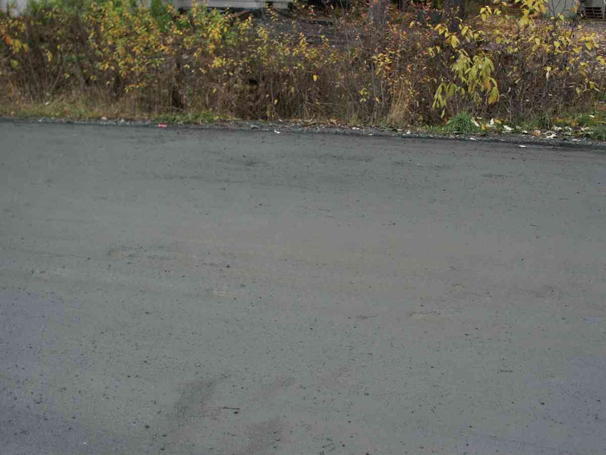
Road Name: Alyeska Avenue
Datum: NAD83
Quad Name / ITM: Seward D-6
AWC Stream #:
Stream Name: Glacier Creek tributary
Elevation:
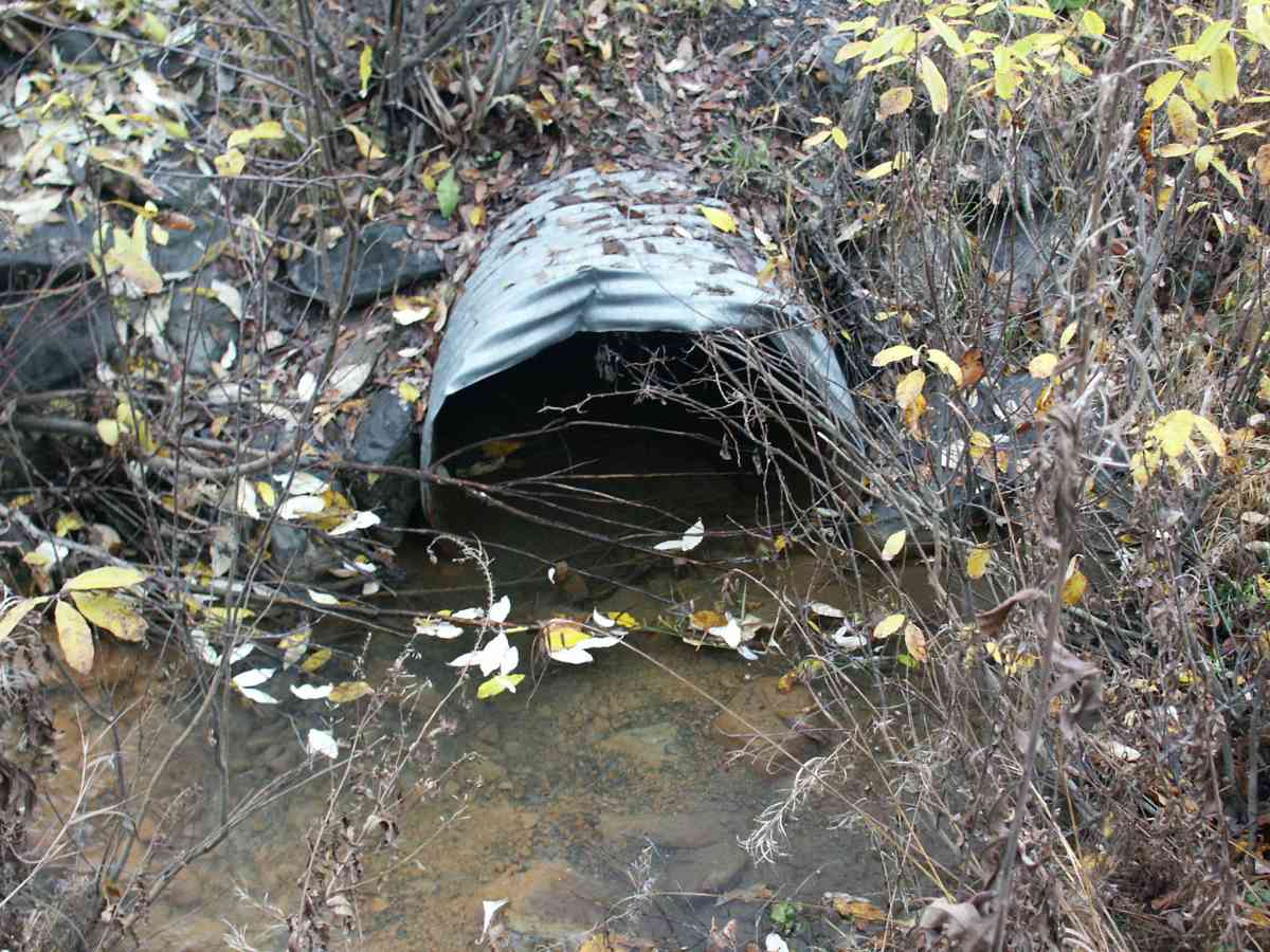
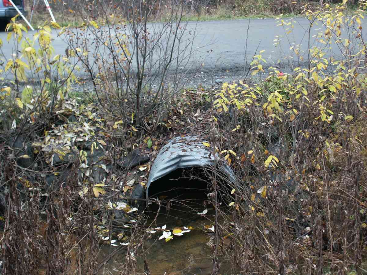
Site Comments: Site is downstream of ALY05 and ALY06. All three culverts are in immediate proximity of each other.
arrow to the right of the survey date below to choose a different report for this site.
Survey ANC04-4A204
Observers: Dean Beers, Vic Stanculescu
Overall Fish Passage Rating:
Tidal: No
Backwatered: No
Step Pools:
Construction Year:
Comments: GLACIER CREEK WATERSHED, ADULT DOLLY VARDEN CHAR OBSERVED AT SITE
Culvert Measurements
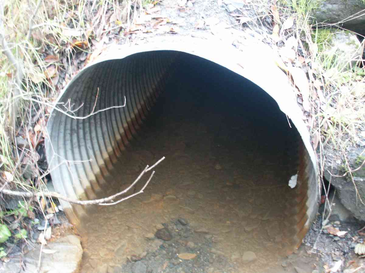
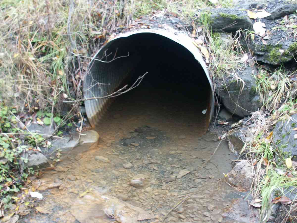
| ID: 1 | Structure Type: Circular pipe (Corrugated Metal) | Fish Passage Rating: | |||||||||||||||||||||||||||||||||||||||||
|
|
|
|||||||||||||||||||||||||||||||||||||||||
Stream Measurements
|
|
| Stream Width Type | Distance From Crossing (ft) |
Stream Width (ft) |
|---|---|---|
| Upstream bank full | 75.0 | 5.90 |
| Upstream bed width | 75.0 | 2.60 |
| Upstream ordinary high water | 75.0 | 3.20 |
Elevations
| Locator ID | Culvert Number |
River Distance (ft)1 |
Distance From Crossing (ft)2 |
Relative Elevation (ft) |
|---|---|---|---|---|
| D/S Tailcrest or 1st Thalweg | 96.69 | |||
| D/S Thalweg | 96.69 | |||
| Max Pool Depth | 96.71 | |||
| OHW Left Bank | 97.01 | |||
| U/S Thalweg | 1 | 97.12 | ||
| OHW Left Bank | 97.21 | |||
| Outlet Invert | 1 | 0.00 | 0.0 | 96.53 |
| Road Elev | 25.00 | 101.54 | ||
| Inlet Culvert Invert | 1 | 50.00 | 0.0 | 96.53 |
Notes:
- River distance is measured continuously throughout the survey reach along the thalweg of the stream.
- Measured from each end of the crossing along the thalweg of the stream.
Fish Sampling Efforts
| Gear Type: Visual Observation, Ground (A) | ||
Fish Observations
No fish observations occurred during this survey.
Photos


Questions or comments about this report can be directed to dfg.dsf.webmaster@alaska.gov