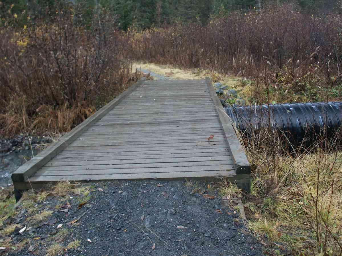
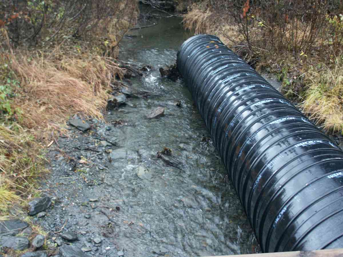
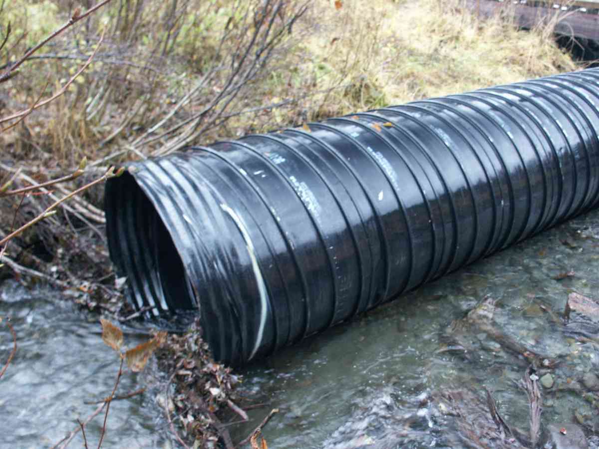
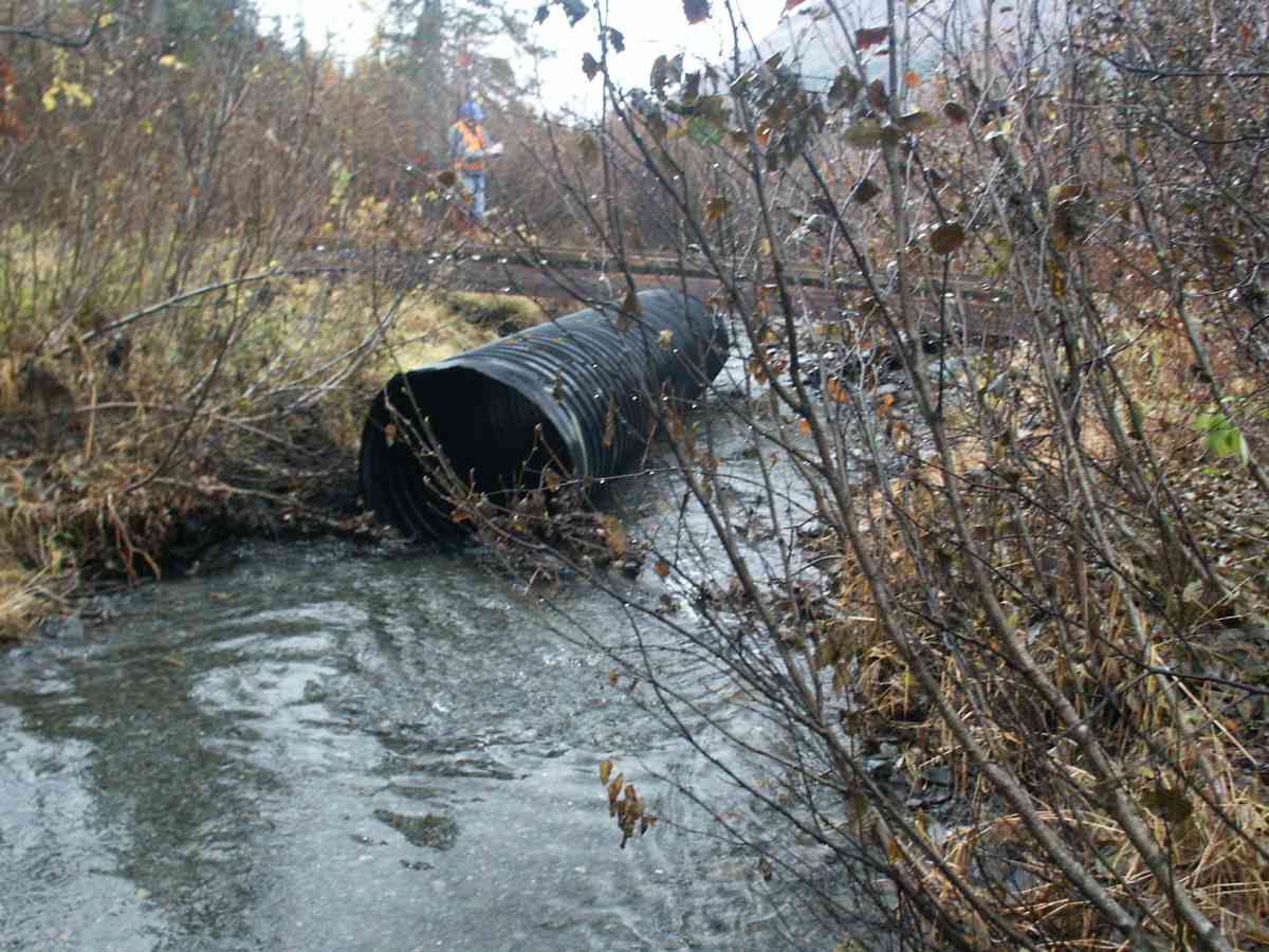
Fish Passage Site 20300203
Coordinates (dec. deg.): 60.97133°, -149.10620°
Legal Description: S010N002E09
Region: South Central
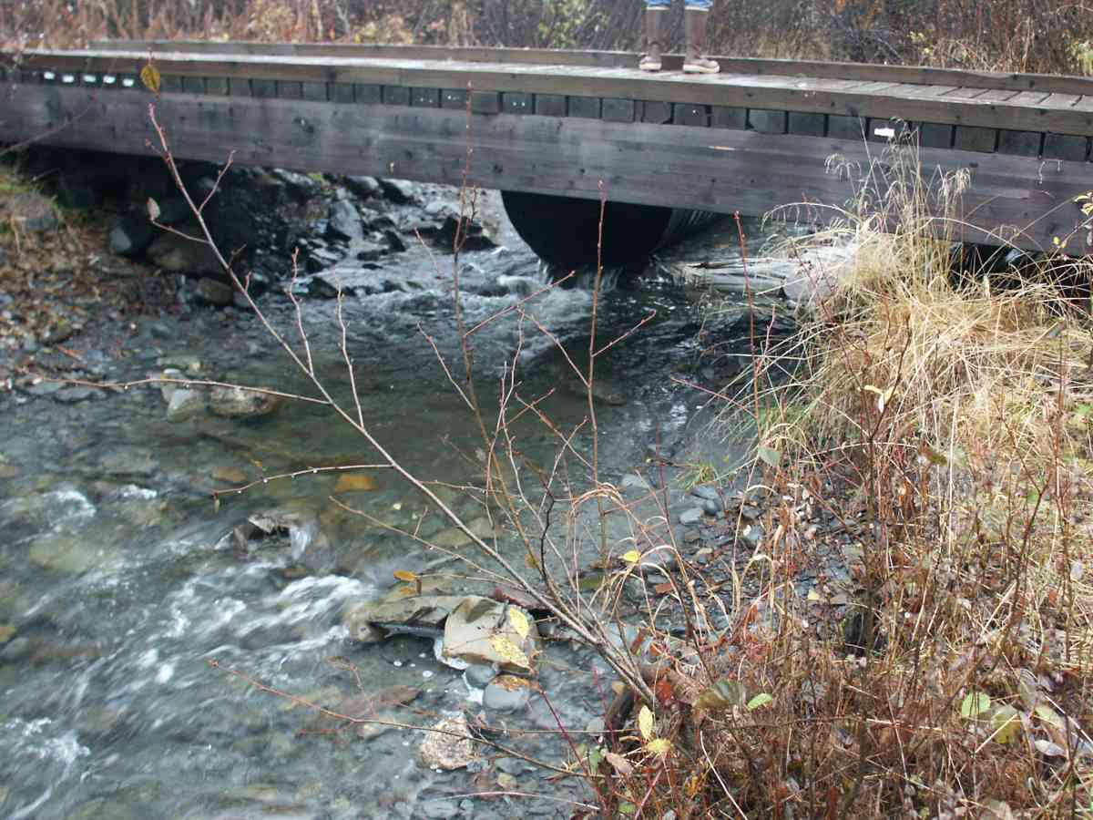
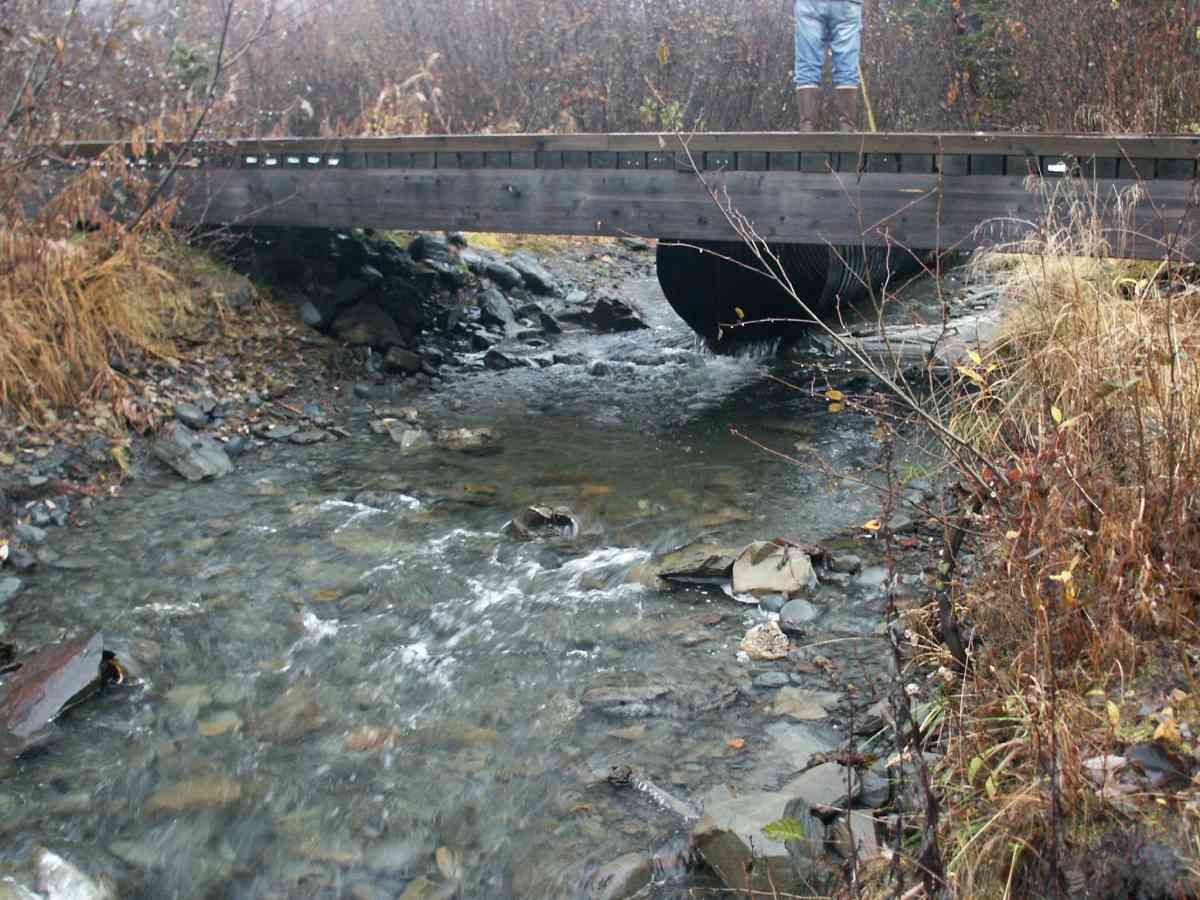
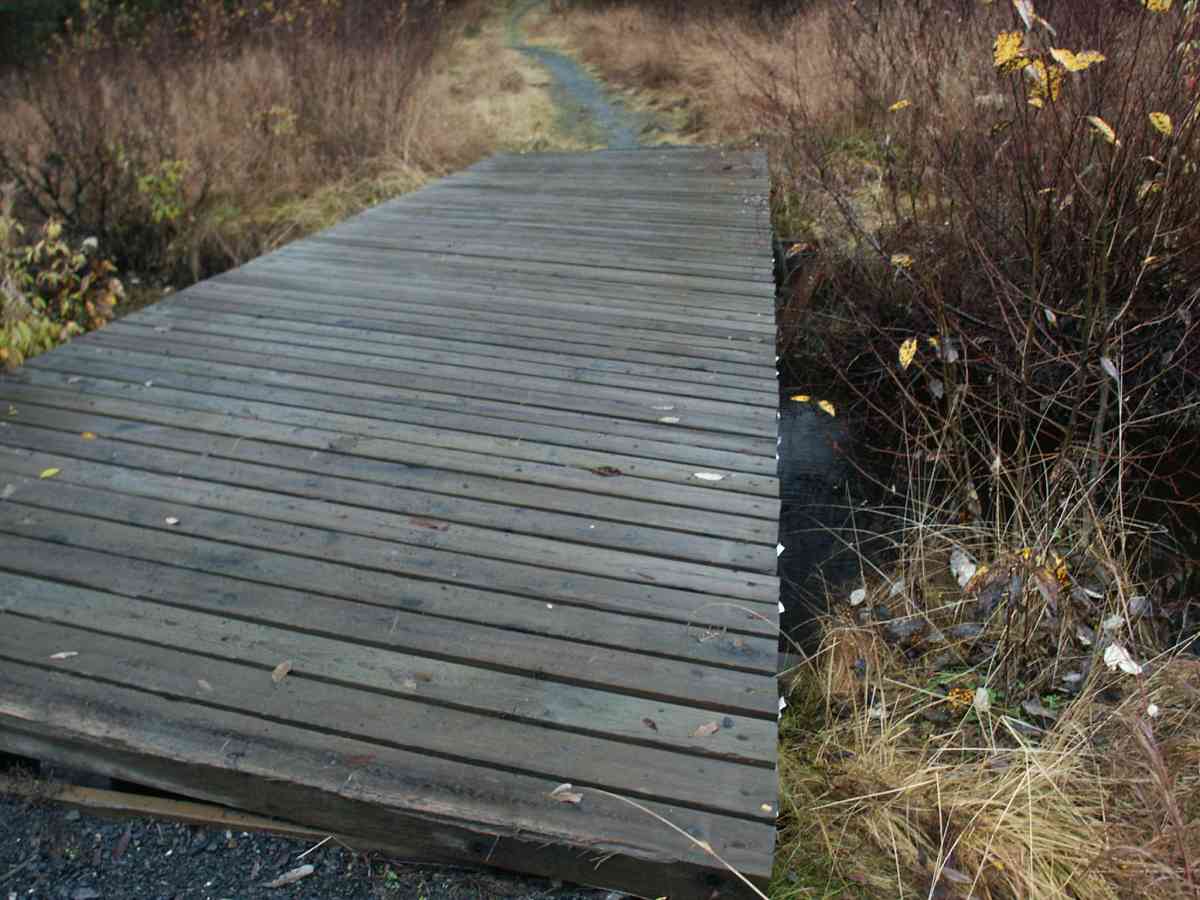
Road Name: Robbies Trail on Alyeska Resor
Datum: NAD83
Quad Name / ITM: Seward D-6
AWC Stream #: 247-60-10250-2018
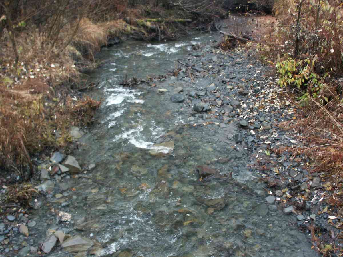
Stream Name: Moose Meadows Creek
Elevation:
Site Comments: GLACIER CREEK WATERSHED, OBSERVED ADULT COHO SPAWNING ABOVE CULVERT, PHOTO SITE ONLY
Survey ANC04-4A203
Observers: Dean Beers, Vic Stanculescu
Overall Fish Passage Rating:
Tidal: No
Backwatered: No
Step Pools:
Construction Year:
Comments: None
Culvert Measurements
No measurement data available.
Stream Measurements
|
|
No stream width data available.
Elevations
No elevation data available.
Fish Sampling Efforts
| Gear Type: Visual Observation, Ground (A) | ||
Fish Observations
No fish observations occurred during this survey.
Photos
Questions or comments about this report can be directed to dfg.dsf.webmaster@alaska.gov