Fish Passage Site 20300195
Coordinates (dec. deg.): 60.89625°, -149.06791°
Legal Description: S009N002E03
Region: South Central
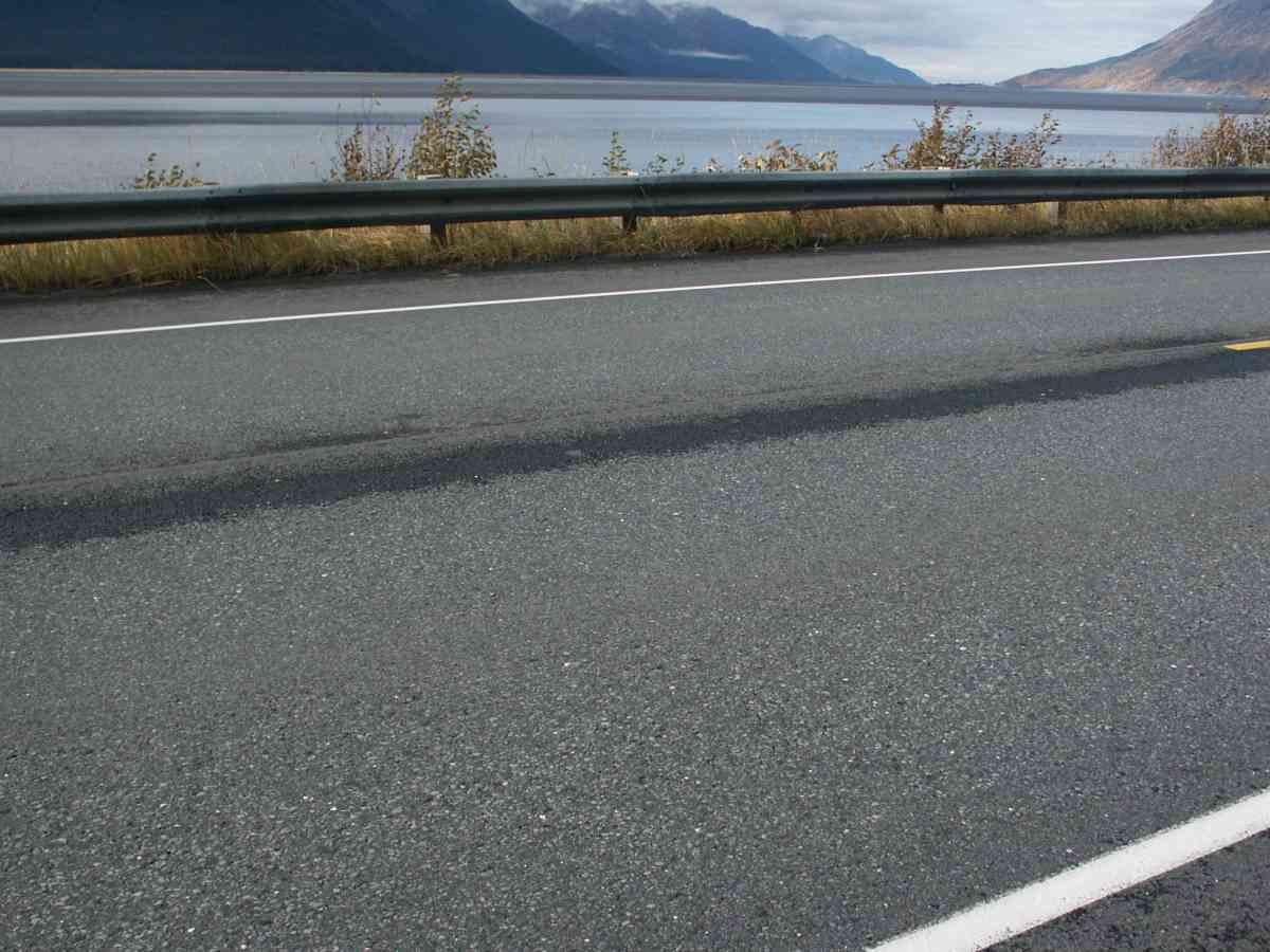
Road Name: SEWARD HIGHWAY
Datum: NAD83
Quad Name / ITM: Seward D-6
AWC Stream #: 247-60-10240
Stream Name: Unnamed
Elevation:
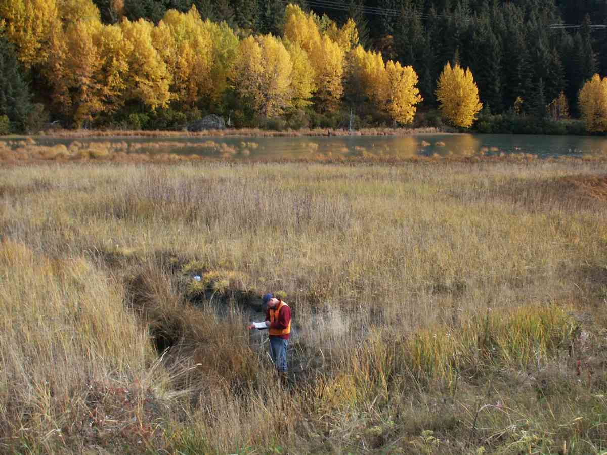
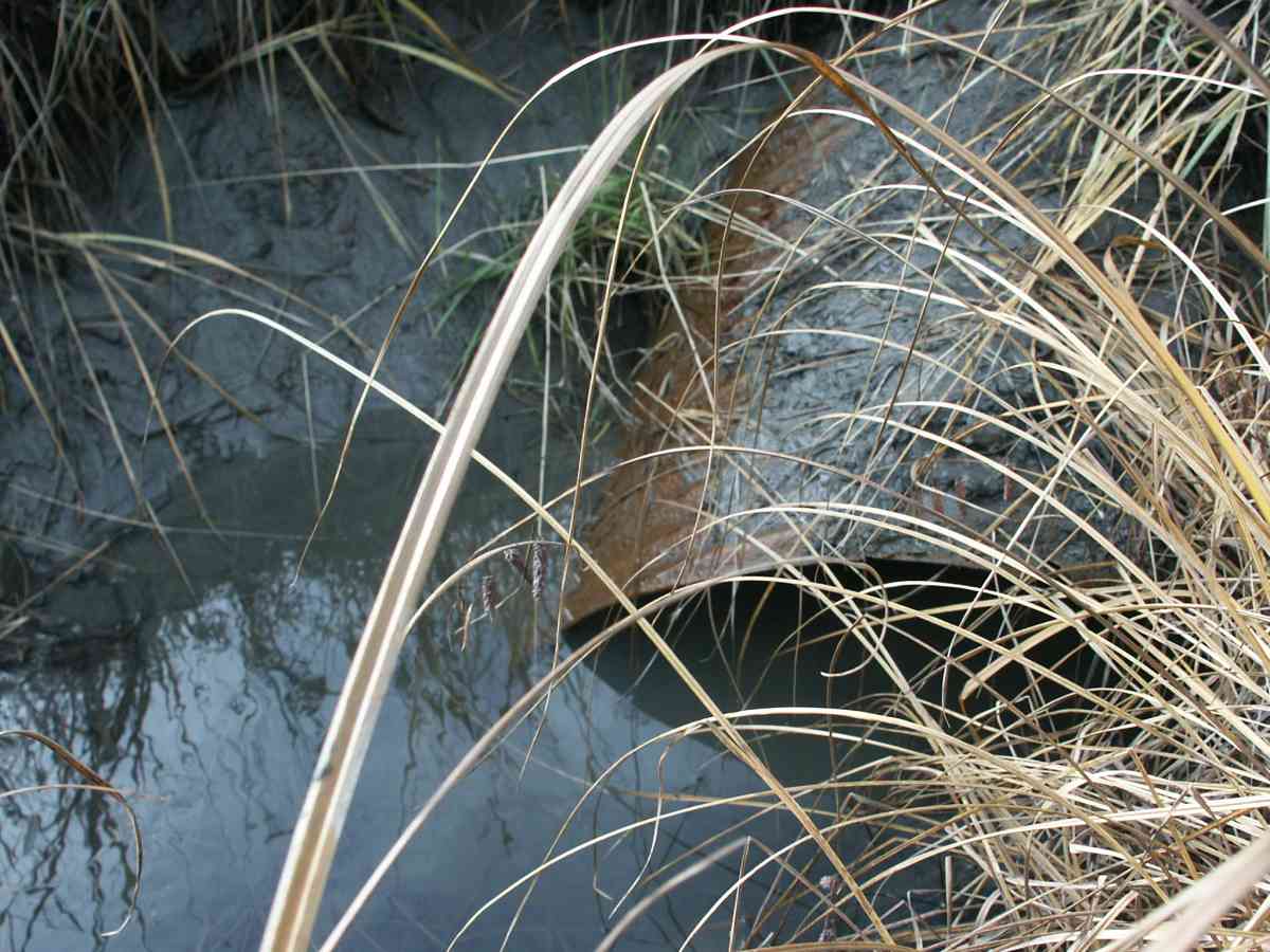
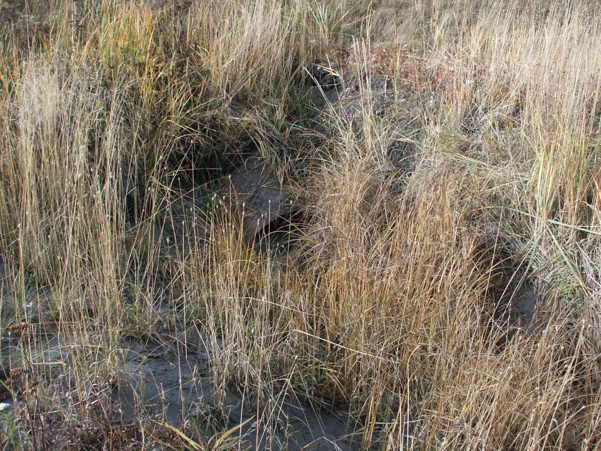
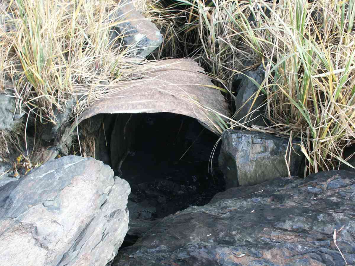
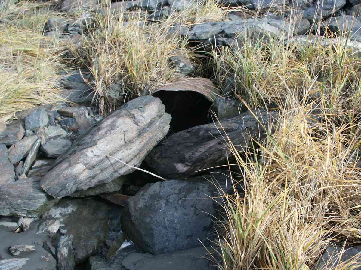
Site Comments: UNAMED WATERSHED ADJACENT TO SEWARD HIGHWAY, UPSTREAM AREA IS A MARSH.
arrow to the right of the survey date below to choose a different report for this site.
Survey ANC04-4A195
Observers: Dean Beers, Vic Stanculescu
Overall Fish Passage Rating:
Tidal: Yes
Backwatered: No
Step Pools:
Construction Year:
Comments: UNAMED WATERSHED ADJACENT TO SEWARD HIGHWAY, UPSTREAM AREA IS A MARSH, LENGTH TAKEN WITH TAPE (+ OR - 5 FEET)
Culvert Measurements
| ID: 1 | Structure Type: Circular pipe (Corrugated Metal) | Fish Passage Rating: | |||||||||||||||||||||||||||||||||||||||||
|
|
|
|||||||||||||||||||||||||||||||||||||||||
Stream Measurements
|
|
No stream width data available.
Elevations
| Locator ID | Culvert Number |
River Distance (ft)1 |
Distance From Crossing (ft)2 |
Relative Elevation (ft) |
|---|---|---|---|---|
| OHW Left Bank | 97.53 | |||
| D/S Tailcrest or 1st Thalweg | 97.74 | |||
| OHW Left Bank | 97.83 | |||
| Max Pool Depth | 96.80 | |||
| D/S Thalweg | 96.80 | |||
| U/S Thalweg | 1 | 99.18 | ||
| Outlet Invert | 1 | 0.00 | 0.0 | 97.45 |
| Road Elev | 55.00 | 110.90 | ||
| Inlet Culvert Invert | 1 | 110.00 | 0.0 | 98.00 |
Notes:
- River distance is measured continuously throughout the survey reach along the thalweg of the stream.
- Measured from each end of the crossing along the thalweg of the stream.
Fish Sampling Efforts
| Gear Type: Visual Observation, Ground (A) | ||
Fish Observations
No fish observations occurred during this survey.
Photos

Questions or comments about this report can be directed to dfg.dsf.webmaster@alaska.gov