Fish Passage Site 20300189
Coordinates (dec. deg.): 60.95906°, -149.10827°
Legal Description: S010N002E16
Region: South Central
Road Name: SKI TRAIL ROAD
Datum: NAD83
Quad Name / ITM: Seward D-6
AWC Stream #:
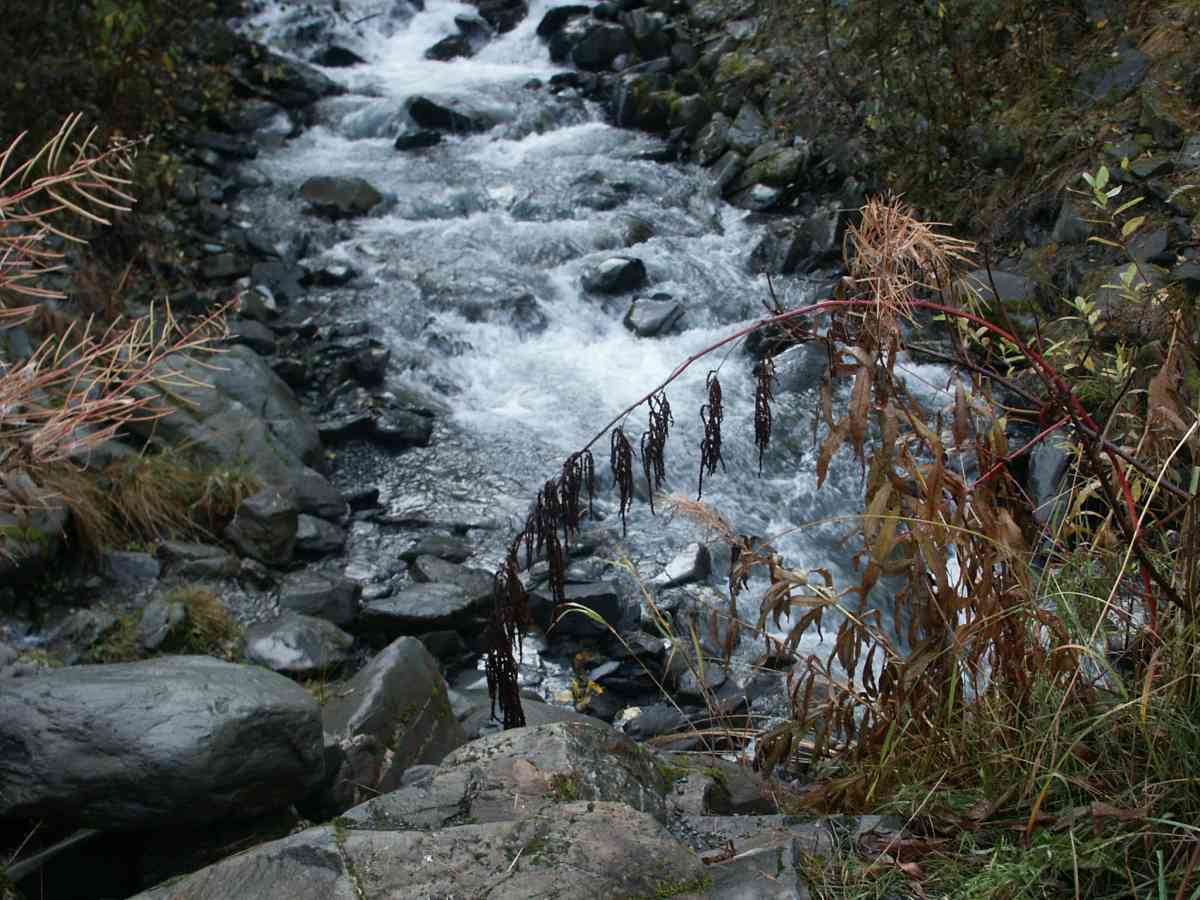
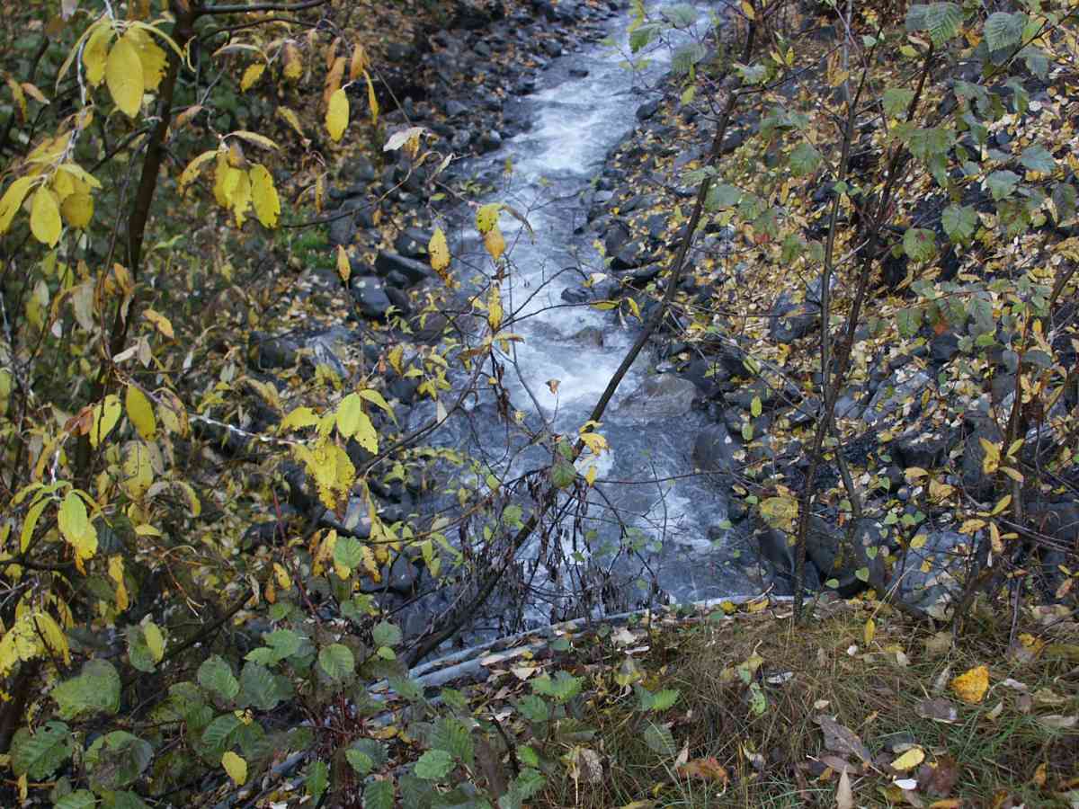
Stream Name: Alyeska Creek
Elevation:
Site Comments: GLACIER CREEK WATERSHED
Survey ANC04-4A189
Observers: Dean Beers, Vic Stanculescu
Overall Fish Passage Rating:
Tidal: No
Backwatered: No
Step Pools:
Construction Year:
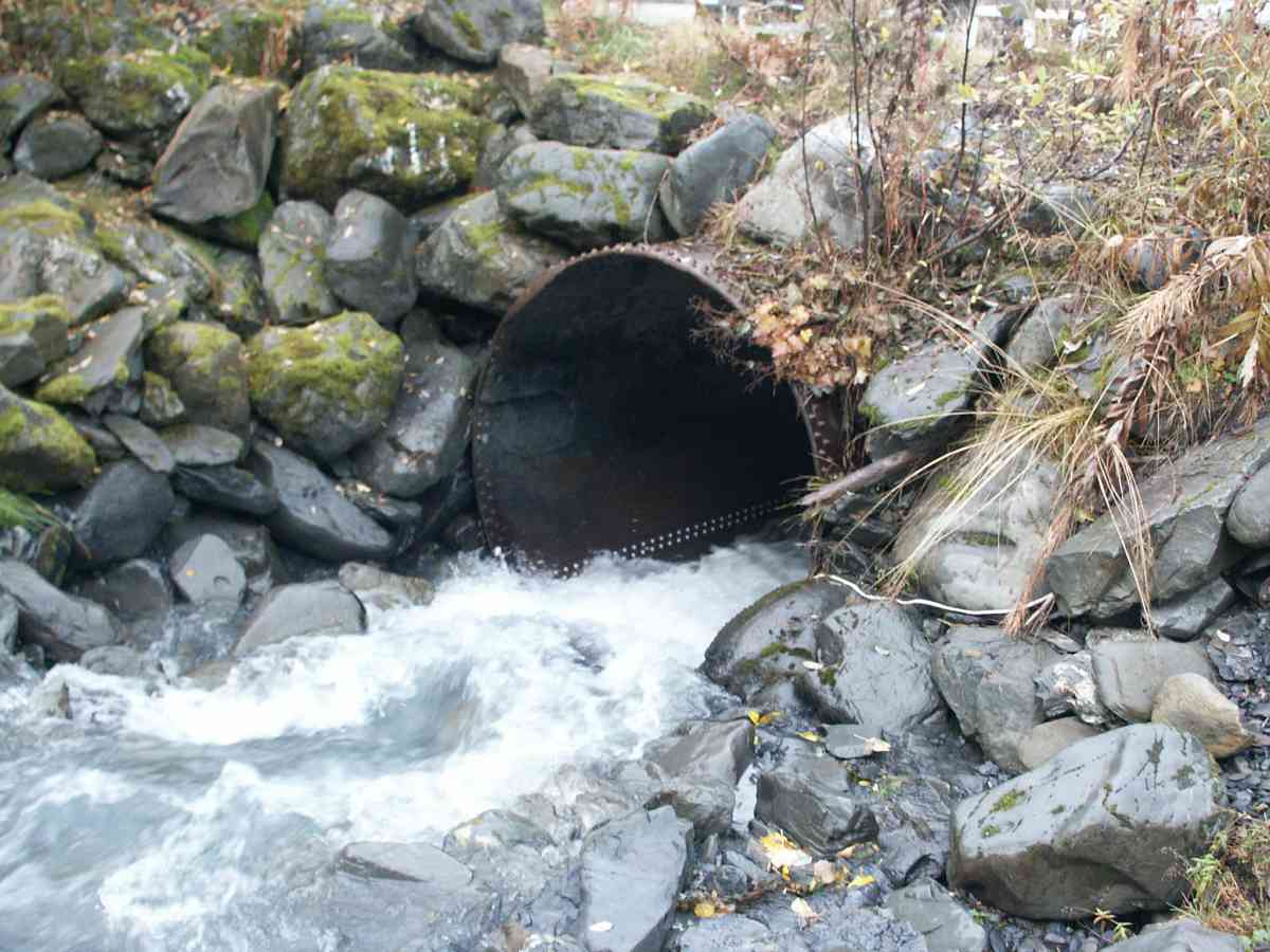
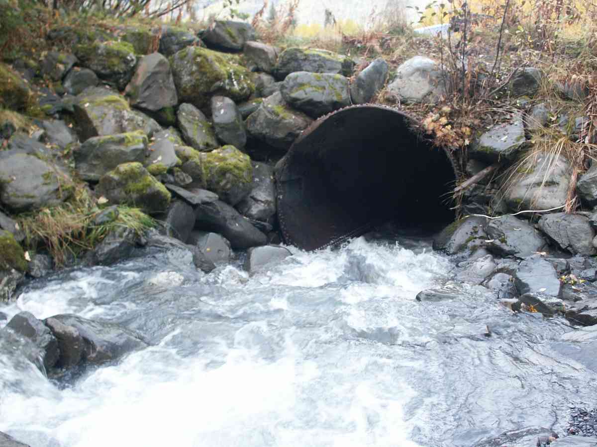
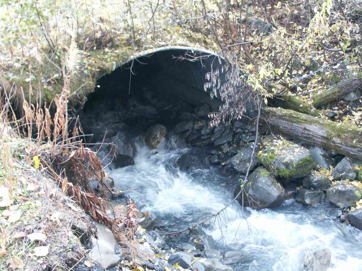
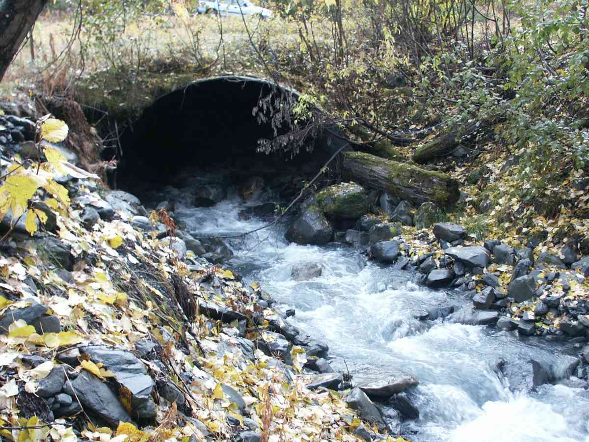
Comments: GLACIER CREEK WATERSHED, CULVERT IS A COMBINATION RAILROAD TANK CAR AND ARCHED CORRUGATED PIPE
Culvert Measurements
| ID: 1 | Structure Type: Circular pipe (Non-corrugated metal) | Fish Passage Rating: | |||||||||||||||||||||||||||||||||||||||||
|
|
|
|||||||||||||||||||||||||||||||||||||||||
Stream Measurements
|
|
| Stream Width Type | Distance From Crossing (ft) |
Stream Width (ft) |
|---|---|---|
| Upstream bank full | 75.0 | 17.20 |
| Upstream bank full | 100.0 | 16.90 |
| Upstream bank full | 125.0 | 20.80 |
| Upstream bank full | 150.0 | 16.70 |
| Upstream bed width | 75.0 | 13.10 |
| Upstream bed width | 100.0 | 12.20 |
| Upstream bed width | 125.0 | 15.50 |
| Upstream bed width | 150.0 | 12.90 |
| Upstream ordinary high water | 75.0 | 16.90 |
| Upstream ordinary high water | 100.0 | 13.00 |
| Upstream ordinary high water | 125.0 | 15.50 |
| Upstream ordinary high water | 150.0 | 14.20 |
Elevations
| Locator ID | Culvert Number |
River Distance (ft)1 |
Distance From Crossing (ft)2 |
Relative Elevation (ft) |
|---|---|---|---|---|
| Max Pool Depth | 68.73 | |||
| D/S Thalweg | 68.73 | |||
| D/S Tailcrest or 1st Thalweg | 68.75 | |||
| OHW Left Bank | 70.42 | |||
| OHW Left Bank | 70.59 | |||
| U/S Thalweg | 1 | 95.75 | ||
| Outlet Invert (TAKEN OFF SUBSTRATE) | 1 | 0.00 | 0.0 | 69.24 |
| Road Elev | 83.50 | 99.15 | ||
| Inlet Culvert Invert | 1 | 167.00 | 0.0 | 92.72 |
Notes:
- River distance is measured continuously throughout the survey reach along the thalweg of the stream.
- Measured from each end of the crossing along the thalweg of the stream.
Fish Sampling Efforts
| Gear Type: Visual Observation, Ground (A) | ||
Fish Observations
No fish observations occurred during this survey.
Photos

Questions or comments about this report can be directed to dfg.dsf.webmaster@alaska.gov