Fish Passage Site 20300180
Coordinates (dec. deg.): 60.92176°, -149.13363°
Legal Description: S010N002E29
Region: South Central
Road Name: Seward Highway Pullout
Datum: NAD83
Quad Name / ITM: Seward D-6
AWC Stream #:
Stream Name: Unnamed
Elevation:
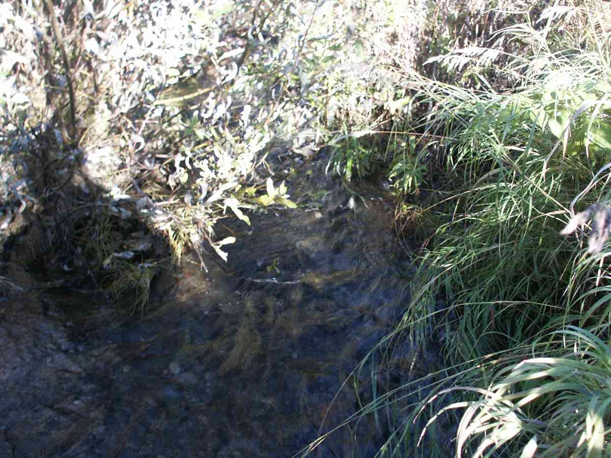
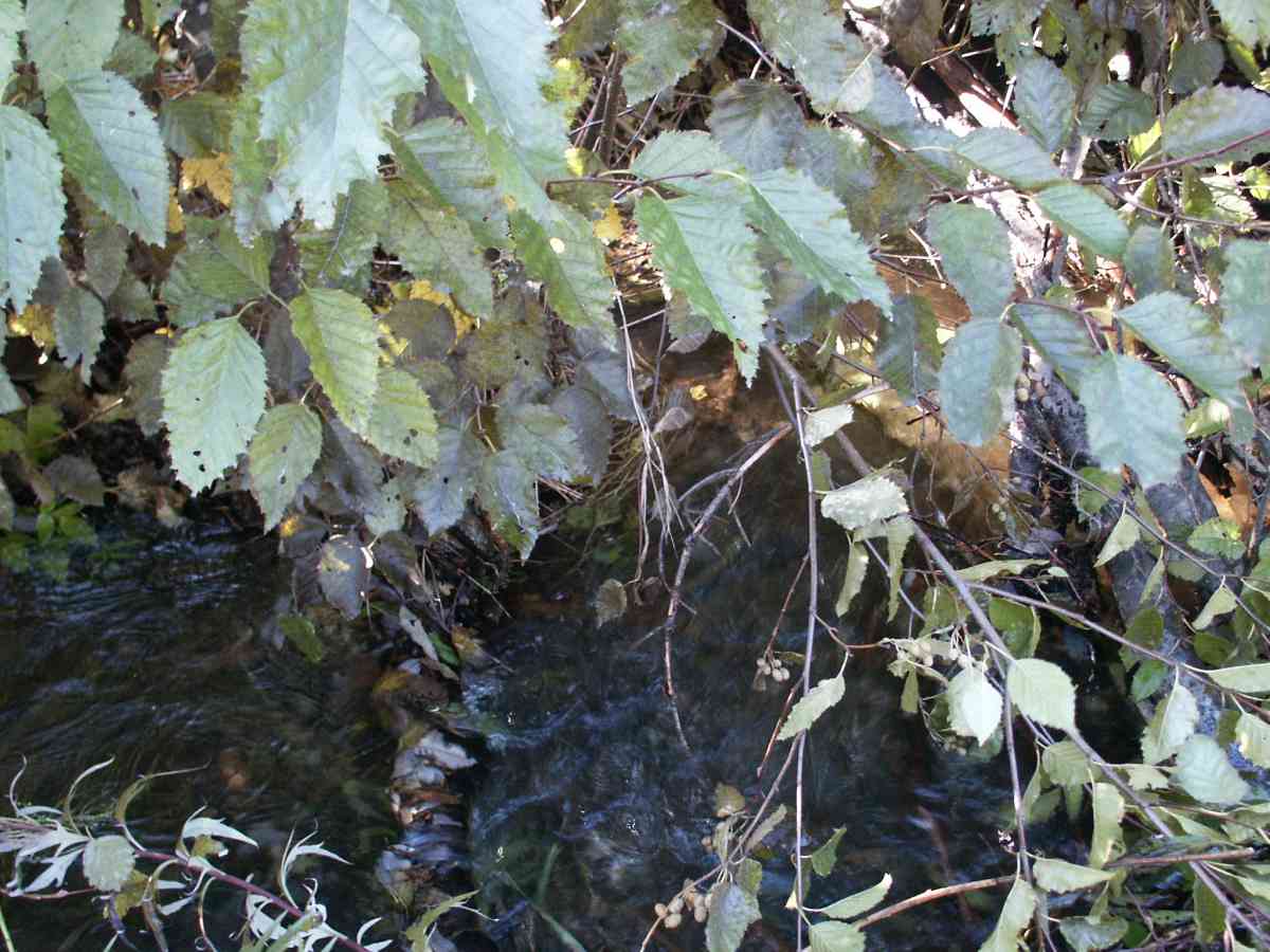
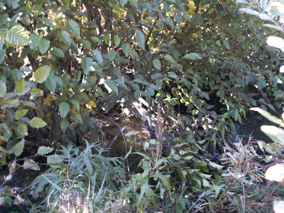
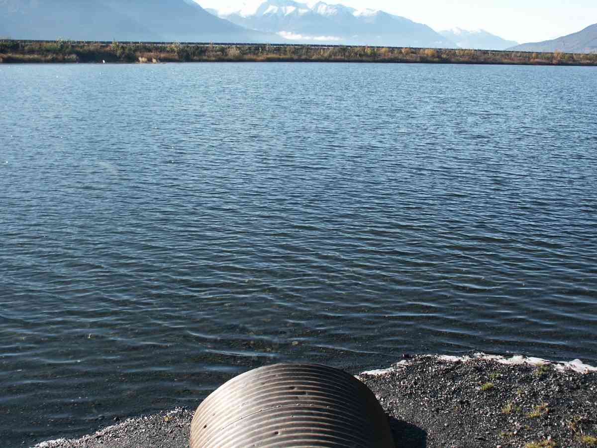
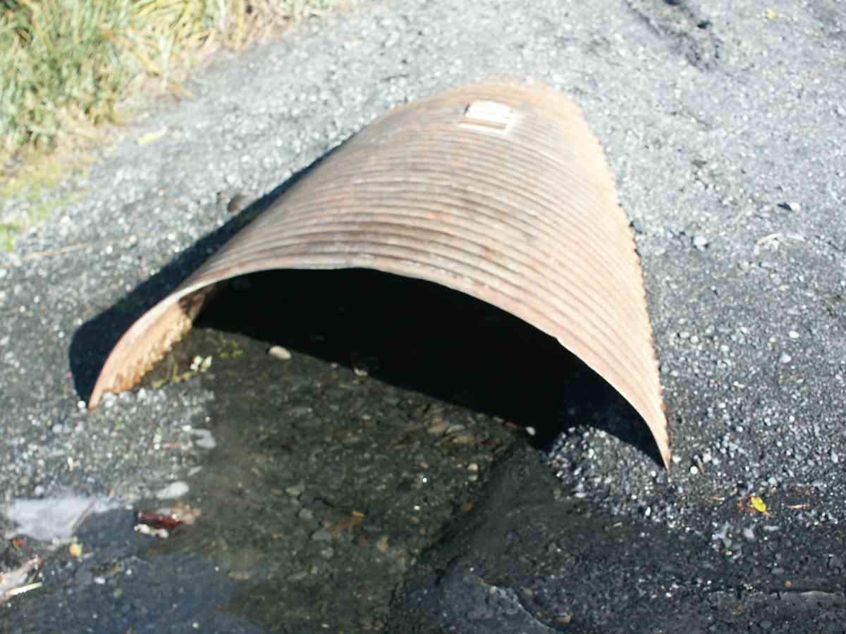
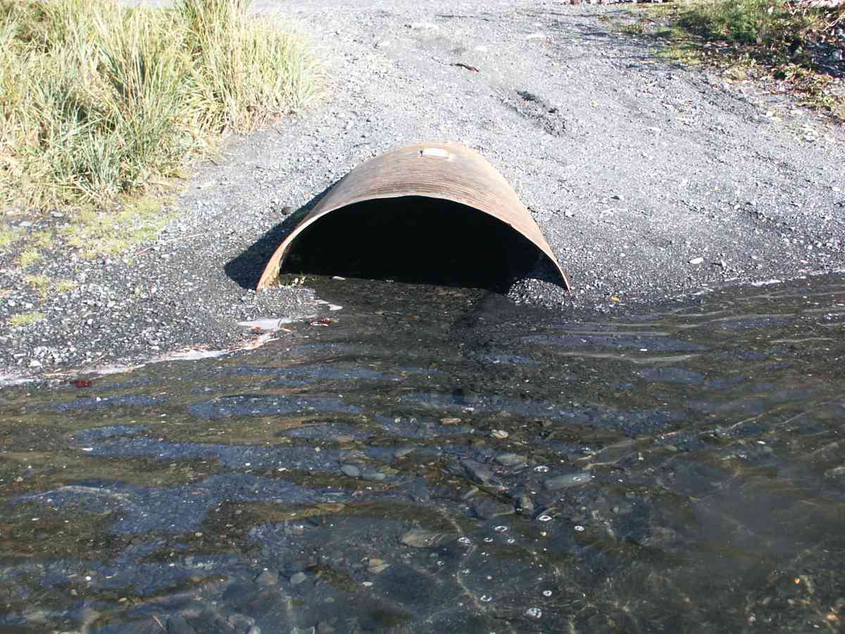
Site Comments: PHOTO SITE ONLY, CULVERT INLET COMPLETELY PLUGGED AND SUBMERGED, DOLLY VARDEN CHAR PRESENT BELOW OUTLET
Survey ANC04-4A180
Observers: Dean Beers, Vic Stanculescu
Overall Fish Passage Rating:
Tidal: No
Backwatered: No
Step Pools:
Construction Year:
Comments: PHOTO SITE ONLY, CULVERT INLET COMPLETELY PLUGGED AND SUBMERGED, DOLLY VARDEN CHAR PRESENT BELOW OUTLET
Culvert Measurements
No measurement data available.
Stream Measurements
|
|
| Stream Width Type | Distance From Crossing (ft) |
Stream Width (ft) |
|---|---|---|
| Upstream bank full | 75.0 | 26.90 |
| Upstream bank full | 100.0 | 22.60 |
| Upstream bank full | 125.0 | 22.80 |
| Upstream bank full | 150.0 | 26.50 |
| Upstream bed width | 75.0 | 2.80 |
| Upstream bed width | 100.0 | 3.00 |
| Upstream bed width | 125.0 | 1.50 |
| Upstream bed width | 150.0 | 2.00 |
| Upstream ordinary high water | 75.0 | 17.70 |
| Upstream ordinary high water | 100.0 | 17.50 |
| Upstream ordinary high water | 125.0 | 7.60 |
| Upstream ordinary high water | 150.0 | 5.60 |
Elevations
No elevation data available.
Fish Sampling Efforts
| Gear Type: Visual Observation, Ground (A) | ||
Fish Observations
No fish observations occurred during this survey.
Photos

Questions or comments about this report can be directed to dfg.dsf.webmaster@alaska.gov