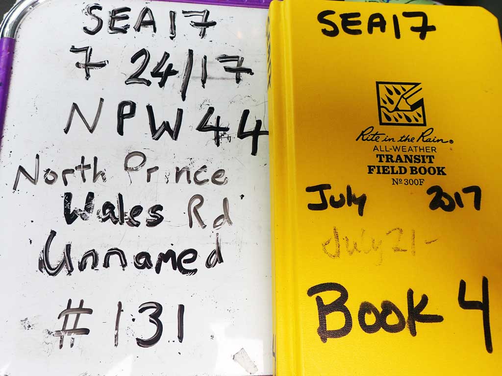
Fish Passage Site 10103610
Coordinates (dec. deg.): 55.84744°, -133.06001°
Legal Description: C069S081E31
Region: Southeast
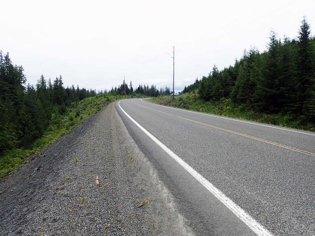
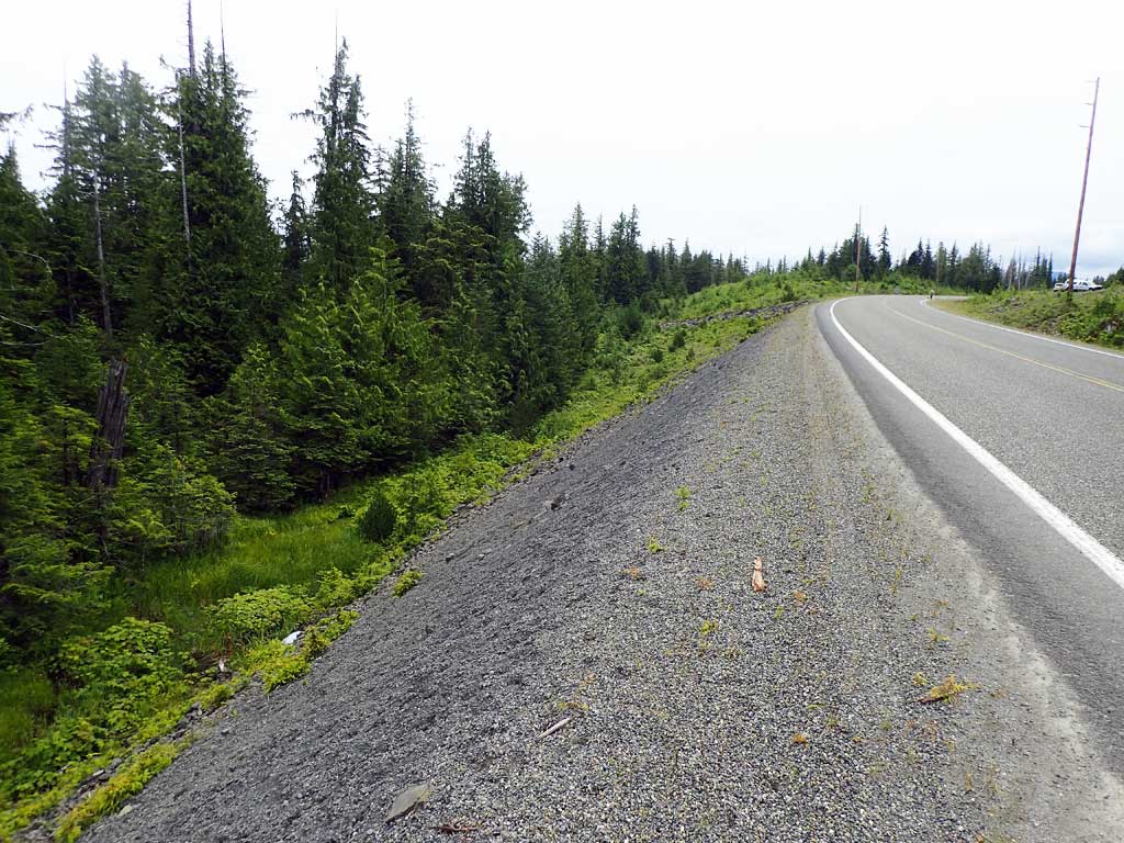
Road Name: North Prince of Wales Road
Datum: NAD83
Quad Name / ITM: Craig D-4
AWC Stream #:
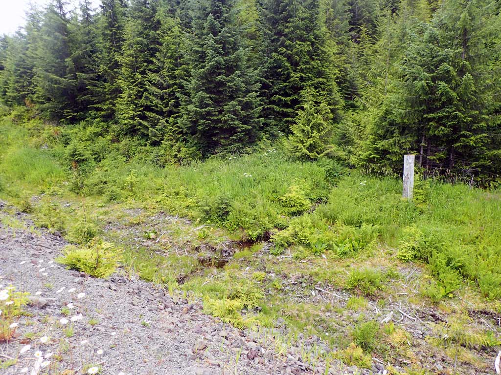
Stream Name: Unnamed
Elevation:
Site Comments: None
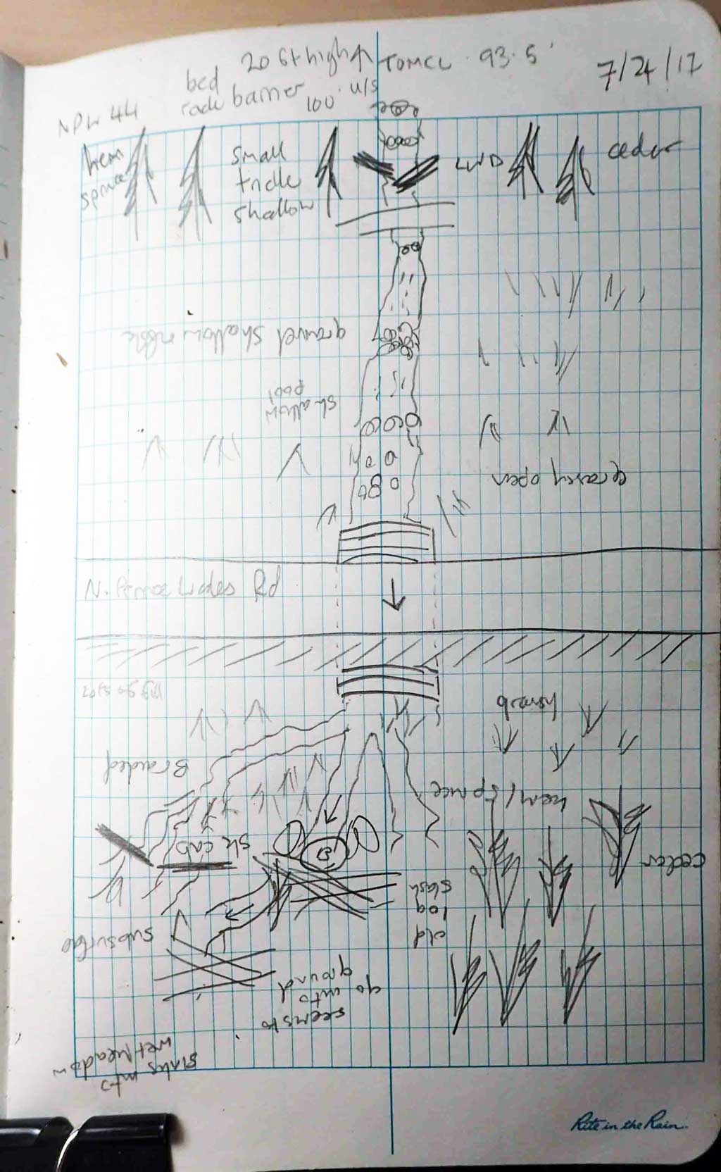
Survey SEA17-NPW44
Observers: Elizabeth Flory, Kelly Petty
Overall Fish Passage Rating:
Tidal: No
Backwatered: No
Step Pools: No
Construction Year:
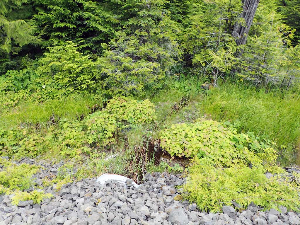
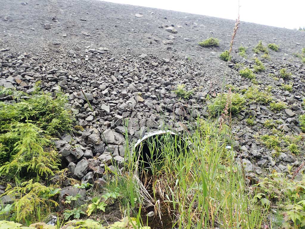
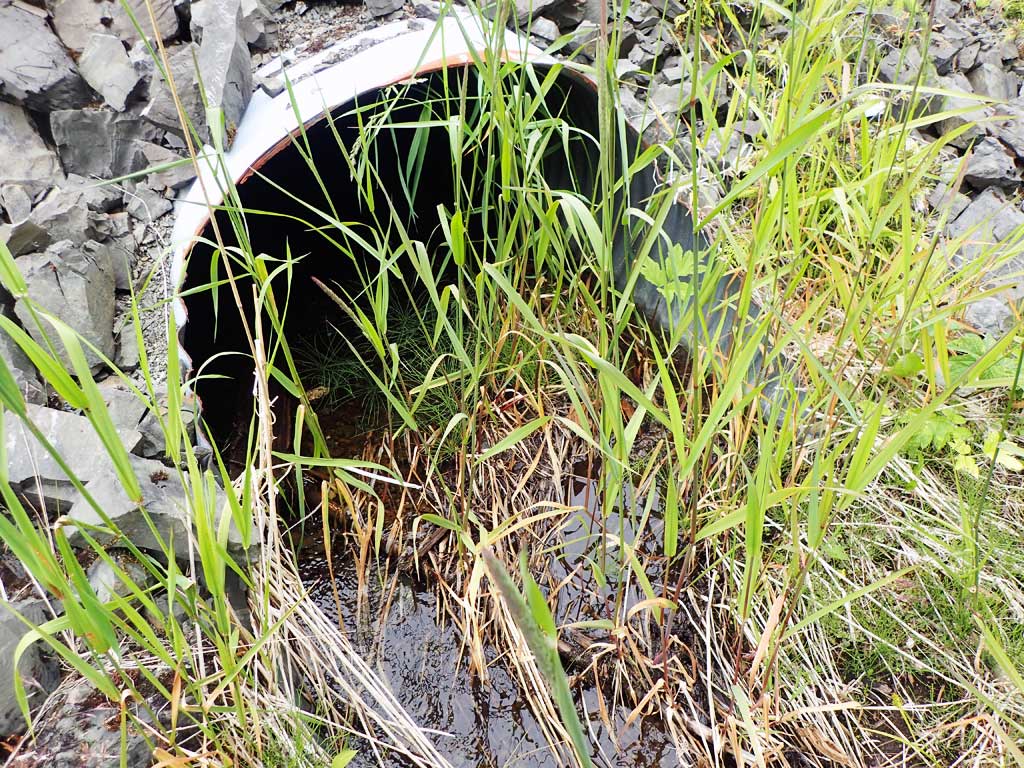
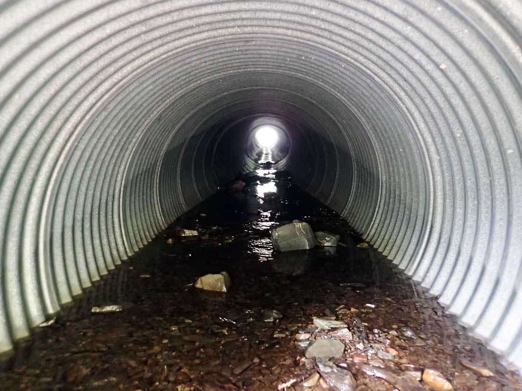
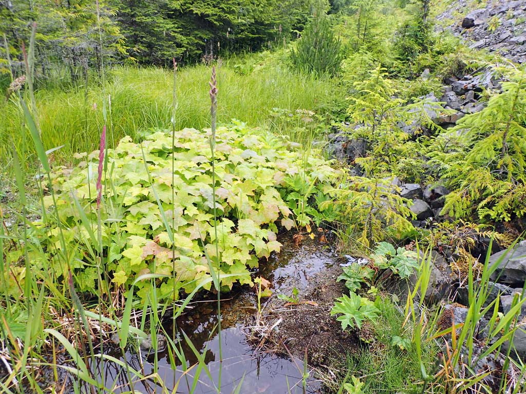
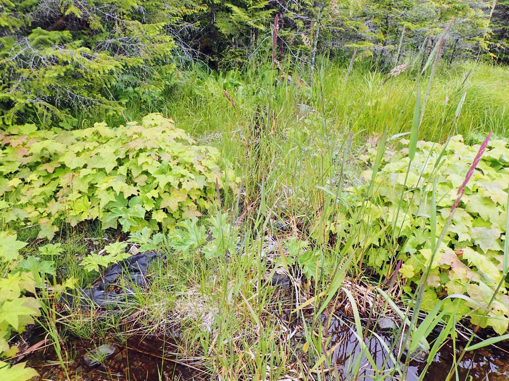
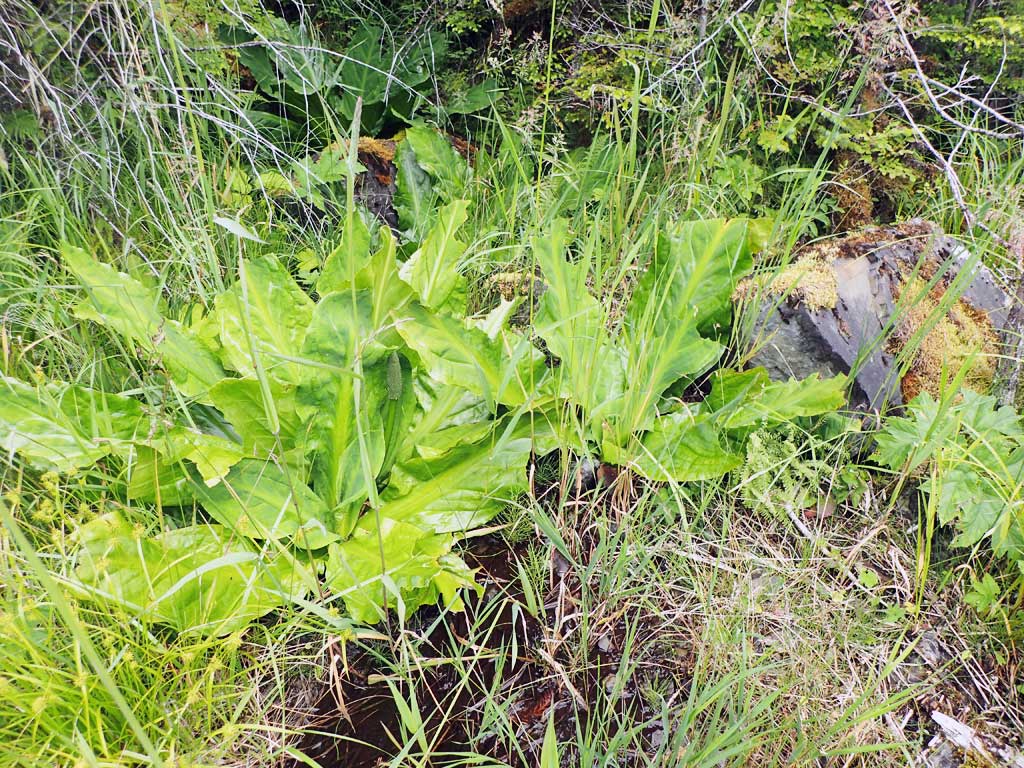
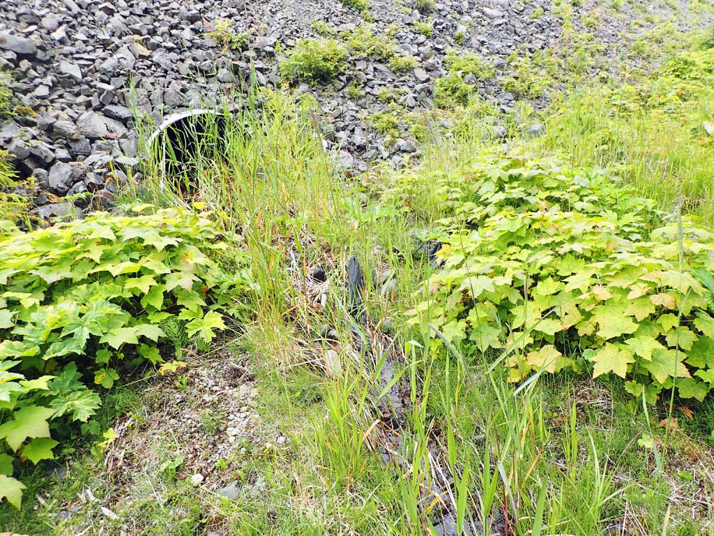
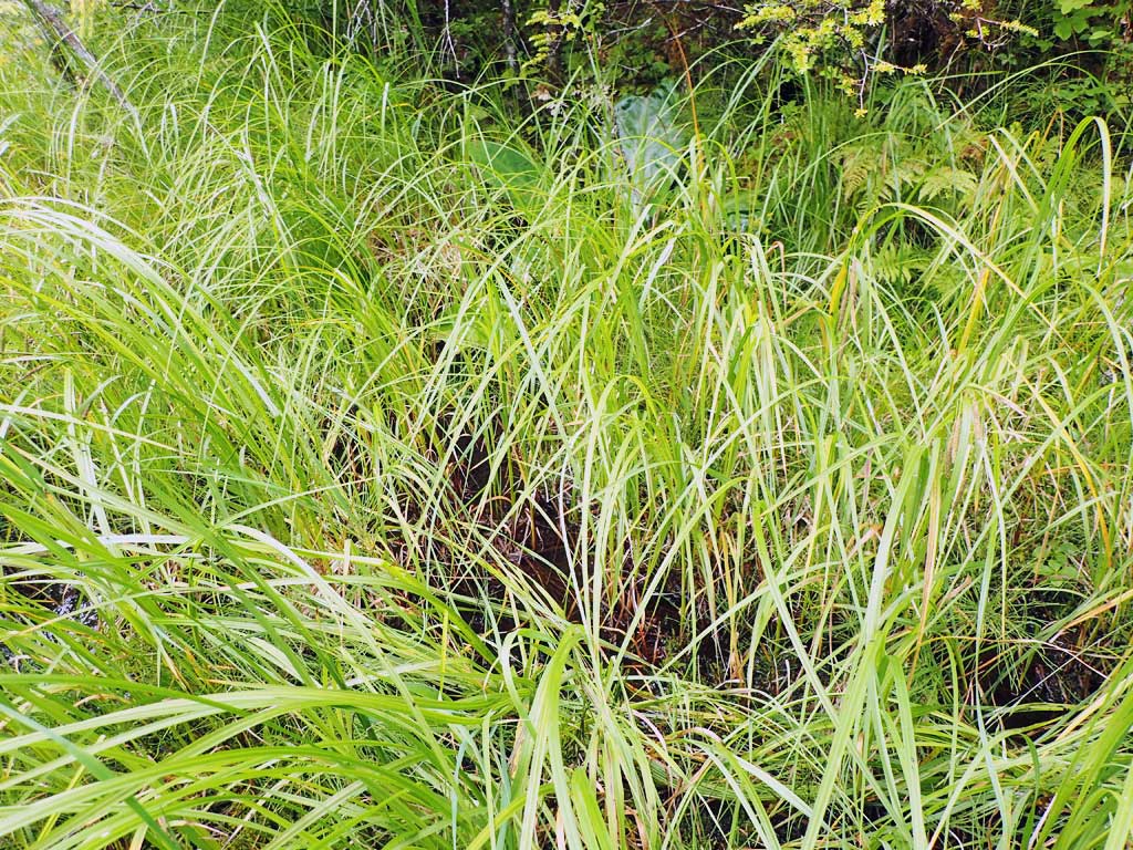
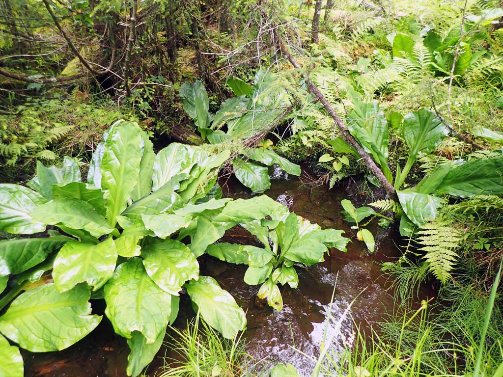
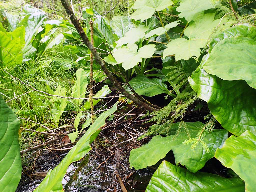
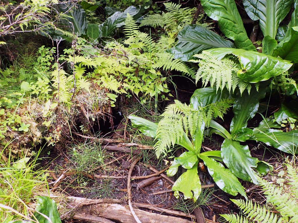
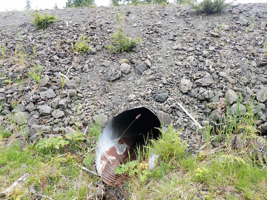
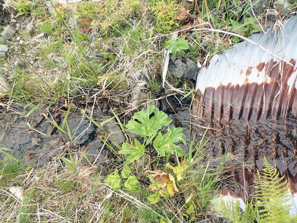
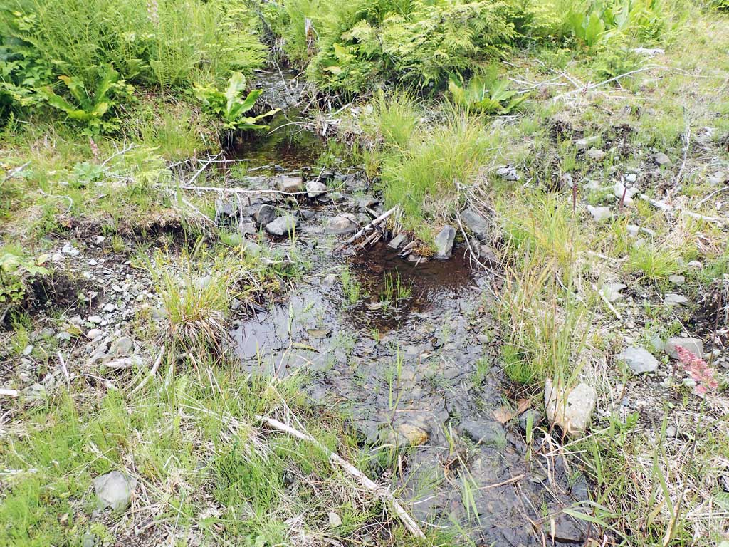
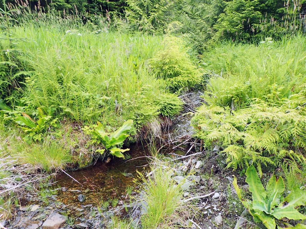
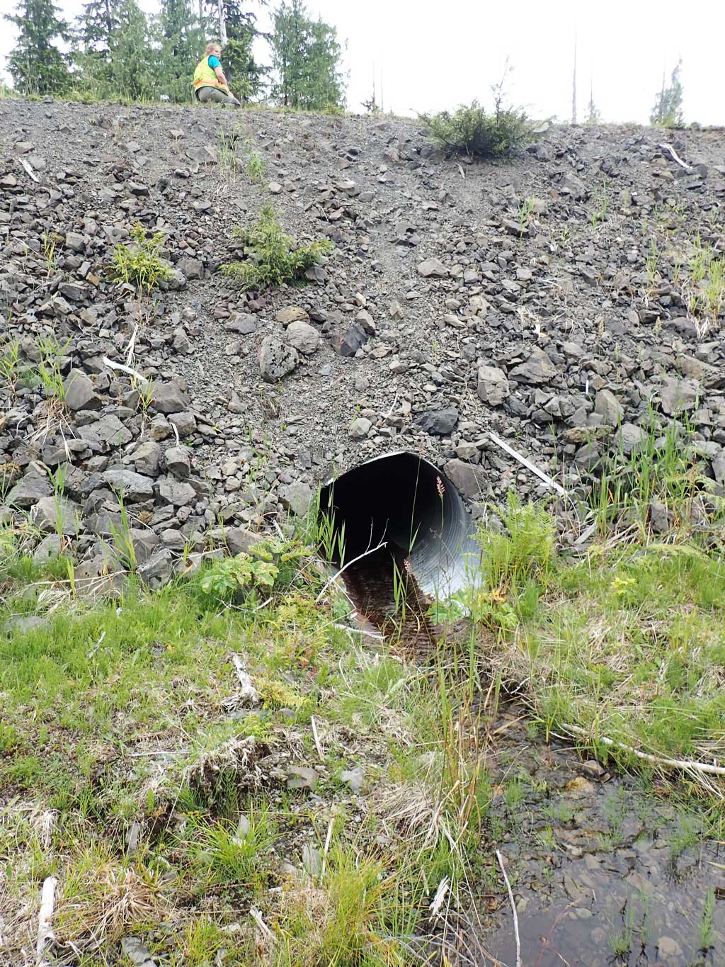
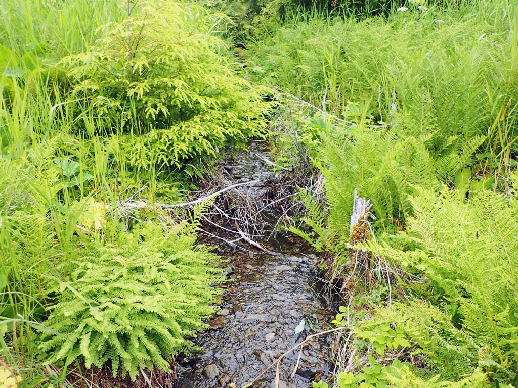
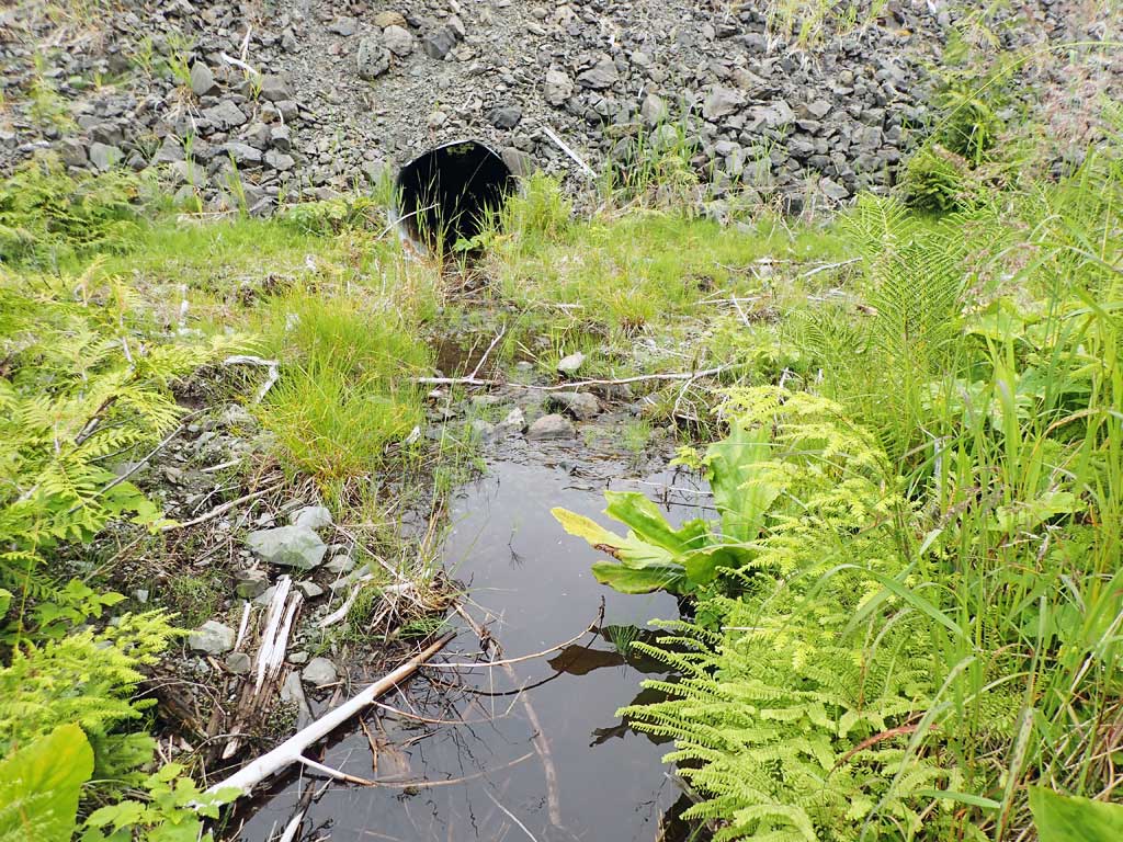
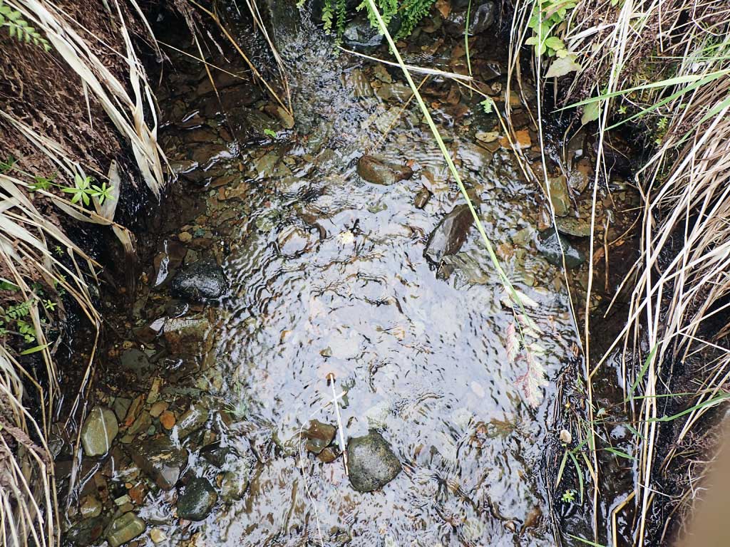
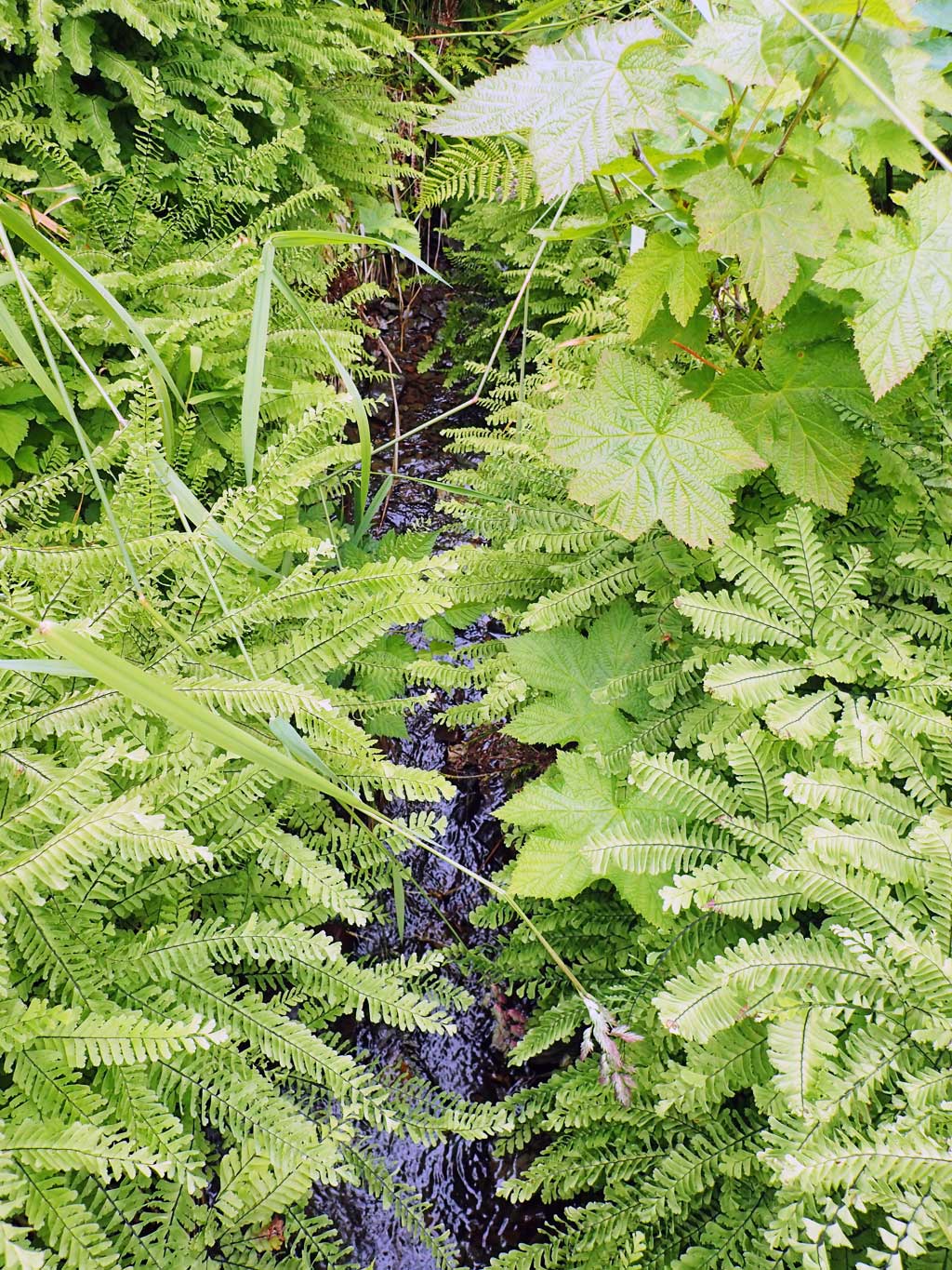
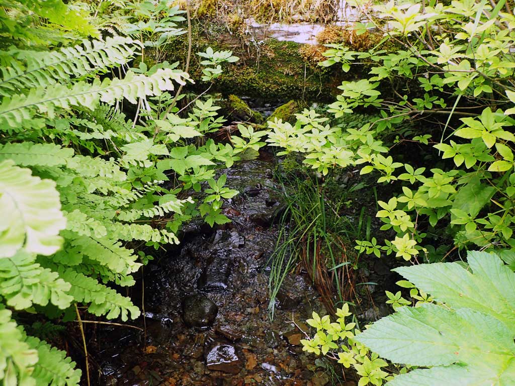
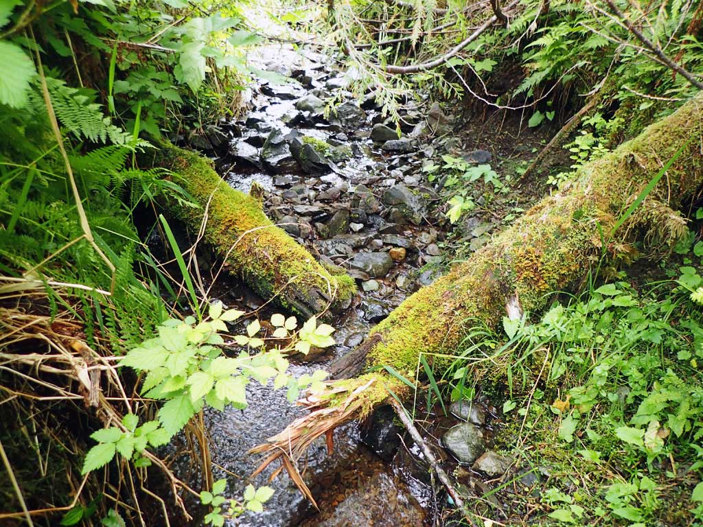
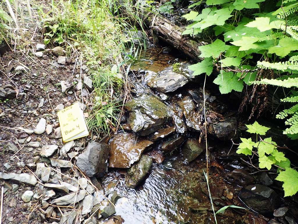
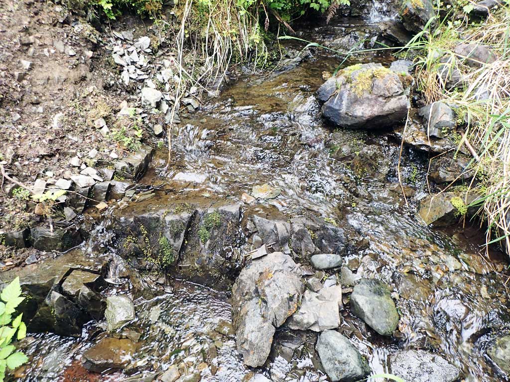
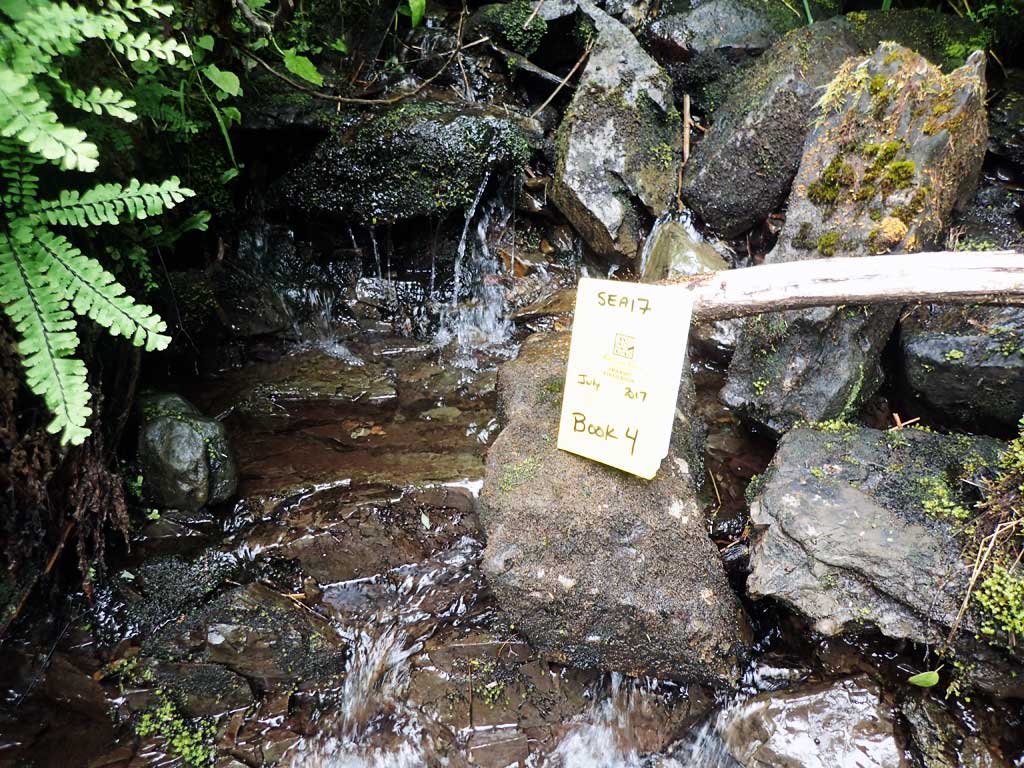
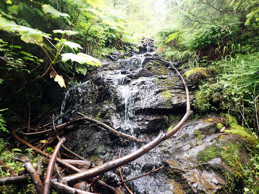
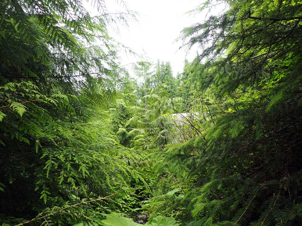
Comments: Stream too shallow for traps. Steep high bank down to stream from road. Stream subsurface 100-ft downstream from culvert. 20ft high bedrock barrier upstream 100ft from inlet. No survey.
Culvert Measurements
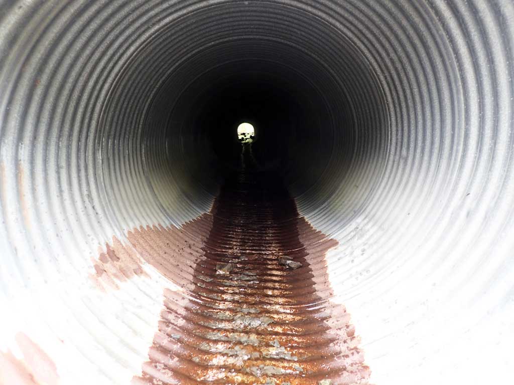
| ID: 1 | Structure Type: Circular pipe (Corrugated steel) | Fish Passage Rating: | |||||||||||||||||||||||||||||||||||||||||
|
|
|
|||||||||||||||||||||||||||||||||||||||||
Comments: Pipe itself may be ok but site subsurface downstream and barrier upstream. No survey. Culvert length is top of pipe length. |
|||||||||||||||||||||||||||||||||||||||||||
Stream Measurements
|
|
| Stream Width Type | Distance From Crossing (ft) |
Stream Width (ft) |
|---|---|---|
| Upstream ordinary high water | 10.0 | 3.10 |
| Upstream ordinary high water | 30.0 | 2.50 |
| Upstream ordinary high water | 50.0 | 3.00 |
Elevations
No elevation data available.
Fish Sampling Efforts
No fish sampling occurred during this survey.
Fish Observations
No fish observations occurred during this survey.
Photos
Questions or comments about this report can be directed to dfg.dsf.webmaster@alaska.gov