Fish Passage Site 10103609
Coordinates (dec. deg.): 55.69728°, -132.89005°
Legal Description: C071S082E19
Region: Southeast
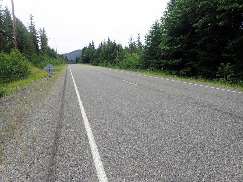
Road Name: North Prince of Wales Road
Datum: NAD83
Quad Name / ITM: Craig C-3
AWC Stream #:
Stream Name: Unnamed
Elevation:
Site Comments: None
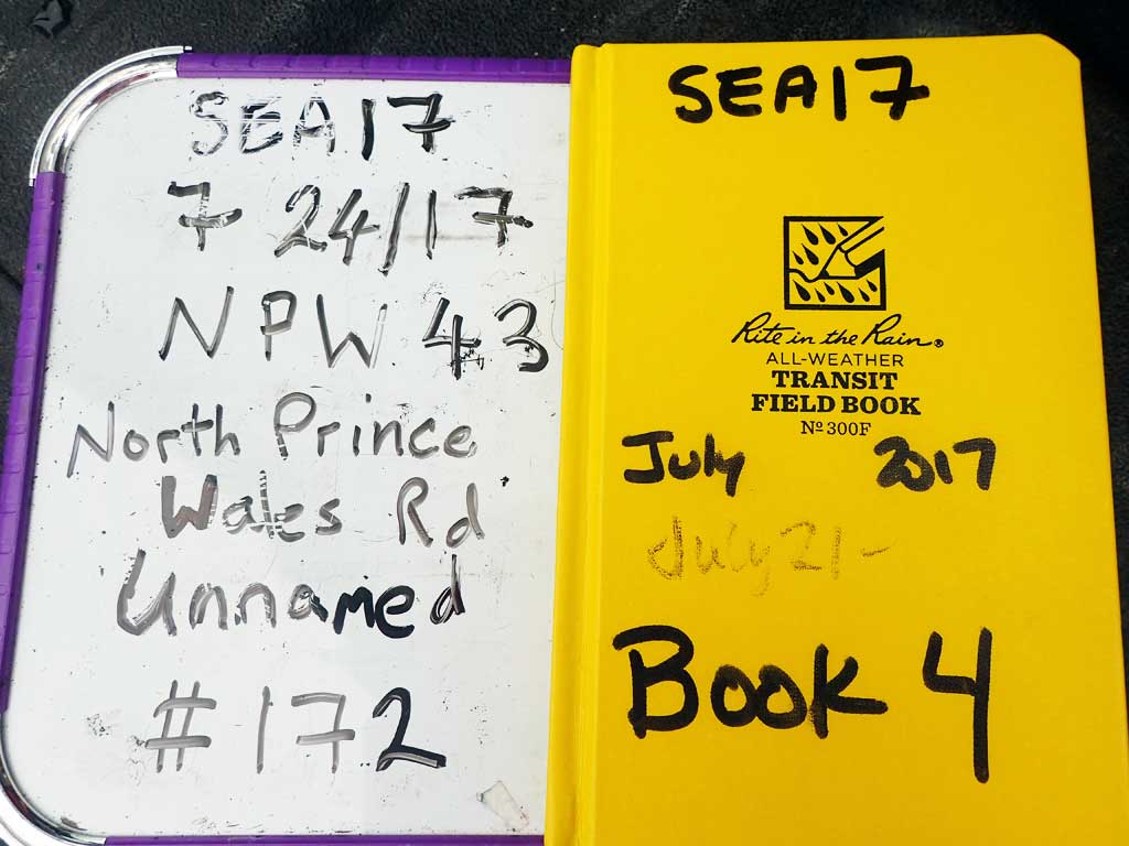
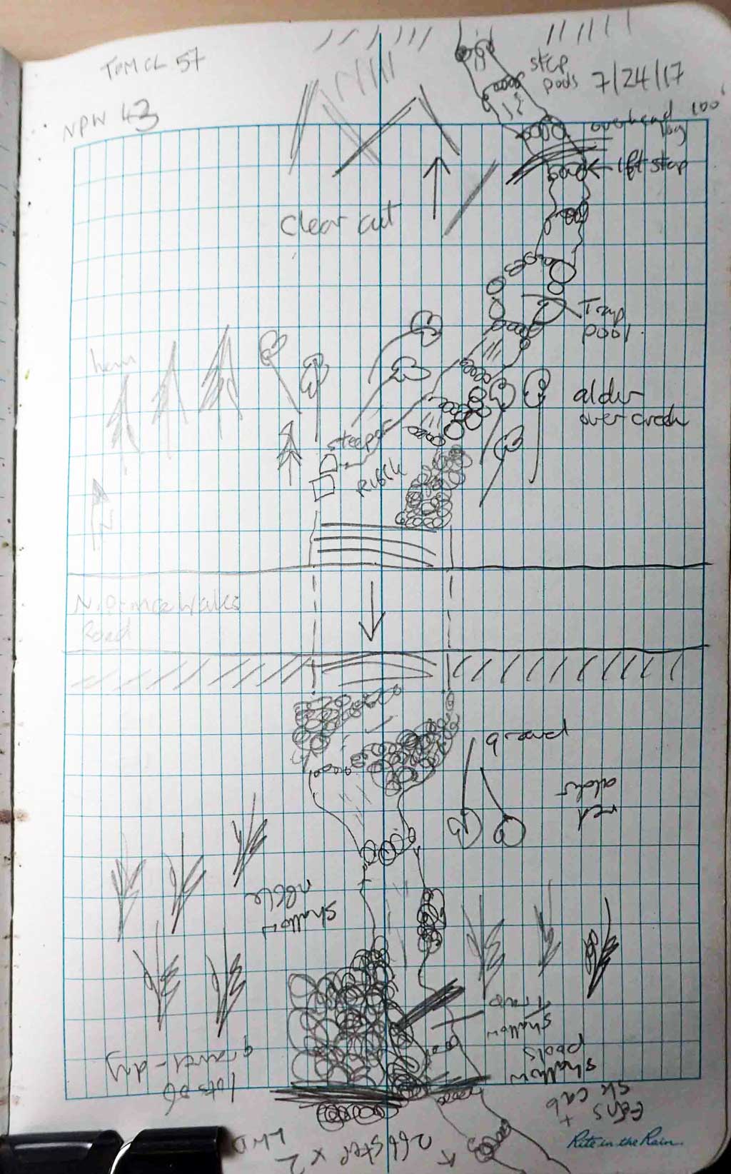
Survey SEA17-NPW43
Observers: Elizabeth Flory, Kelly Petty
Overall Fish Passage Rating:
Tidal: No
Backwatered: No
Step Pools: No
Construction Year:
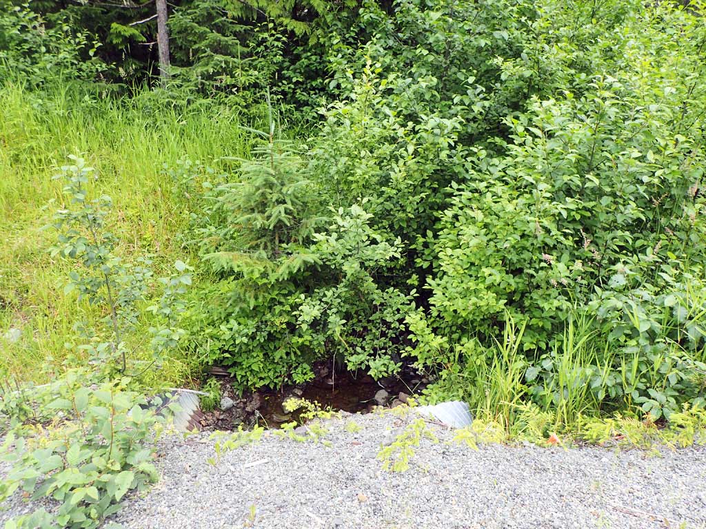
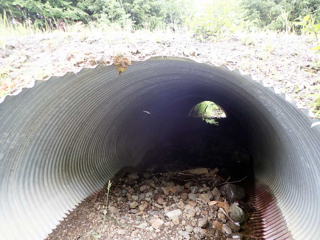
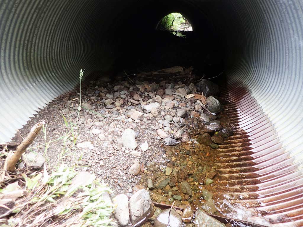
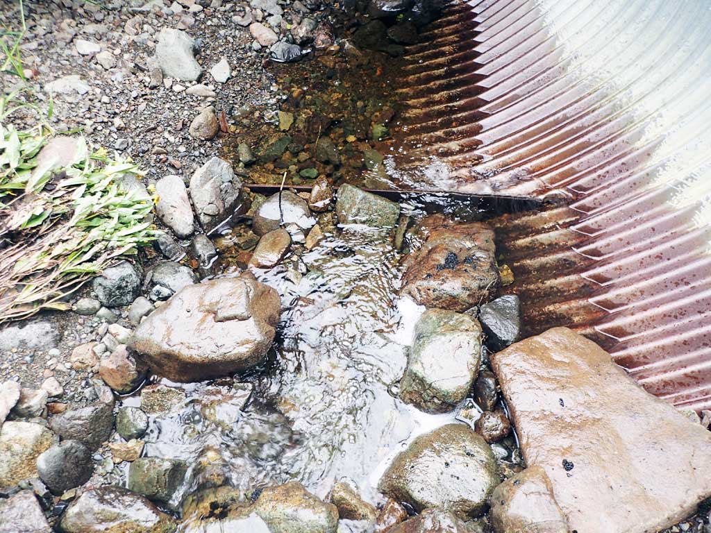
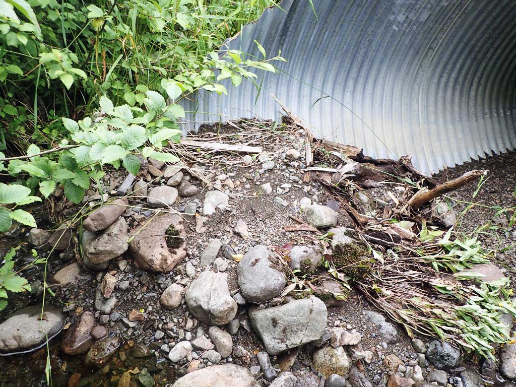
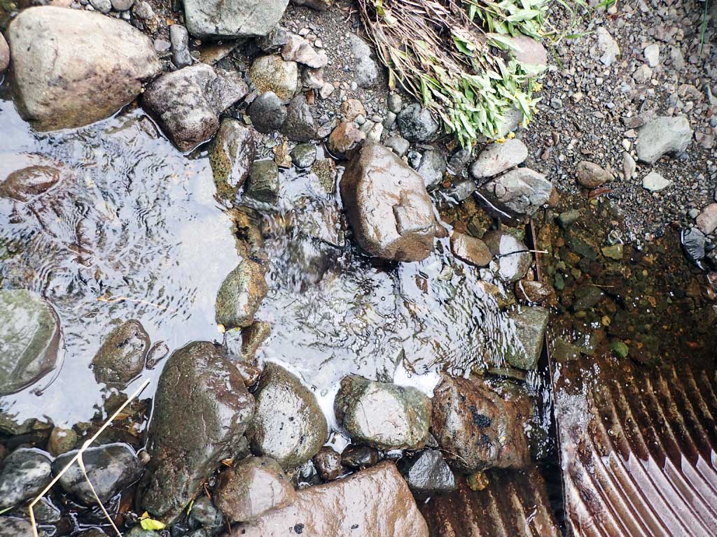
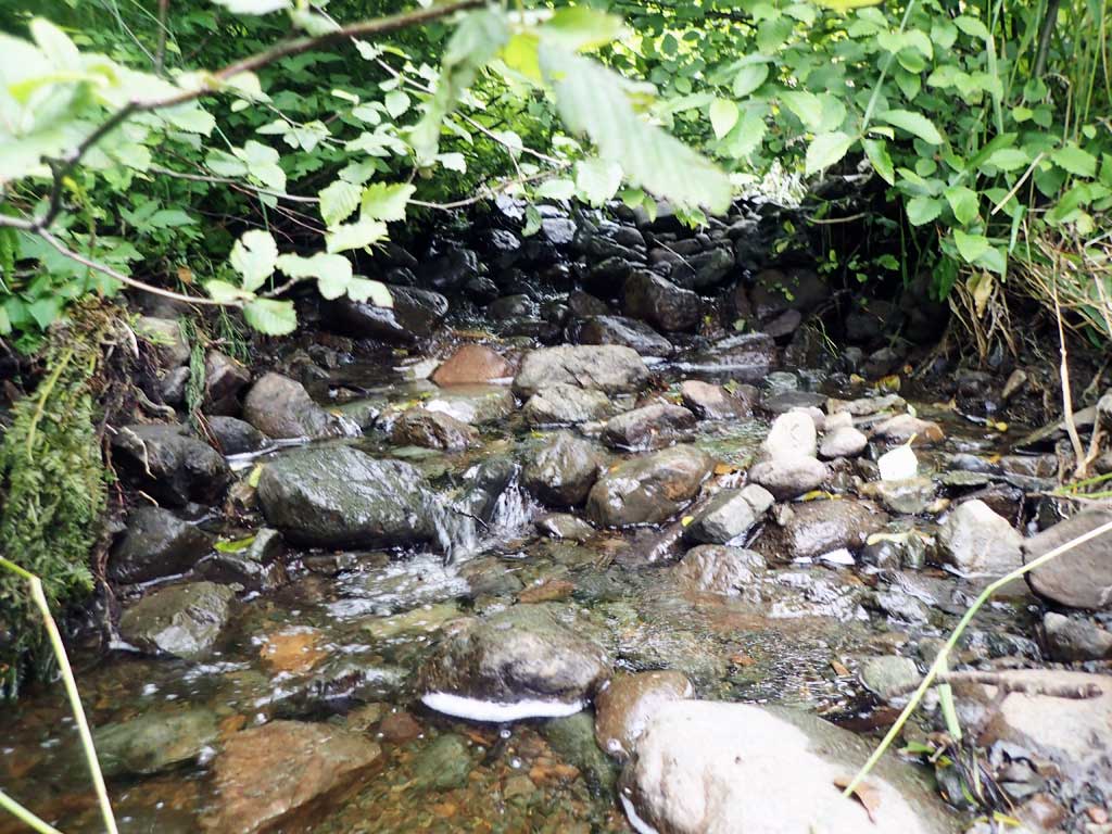
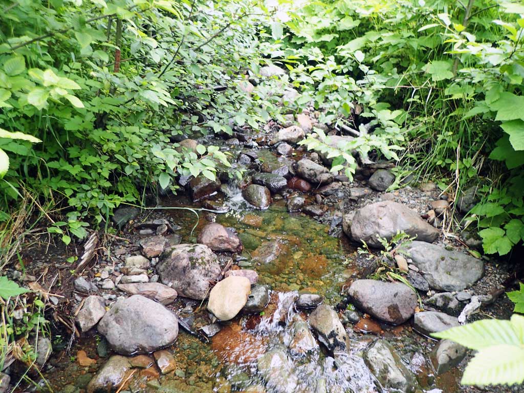
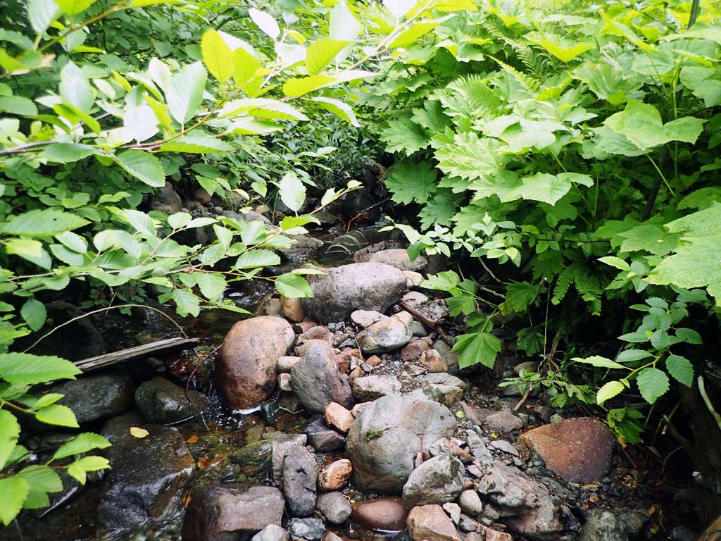
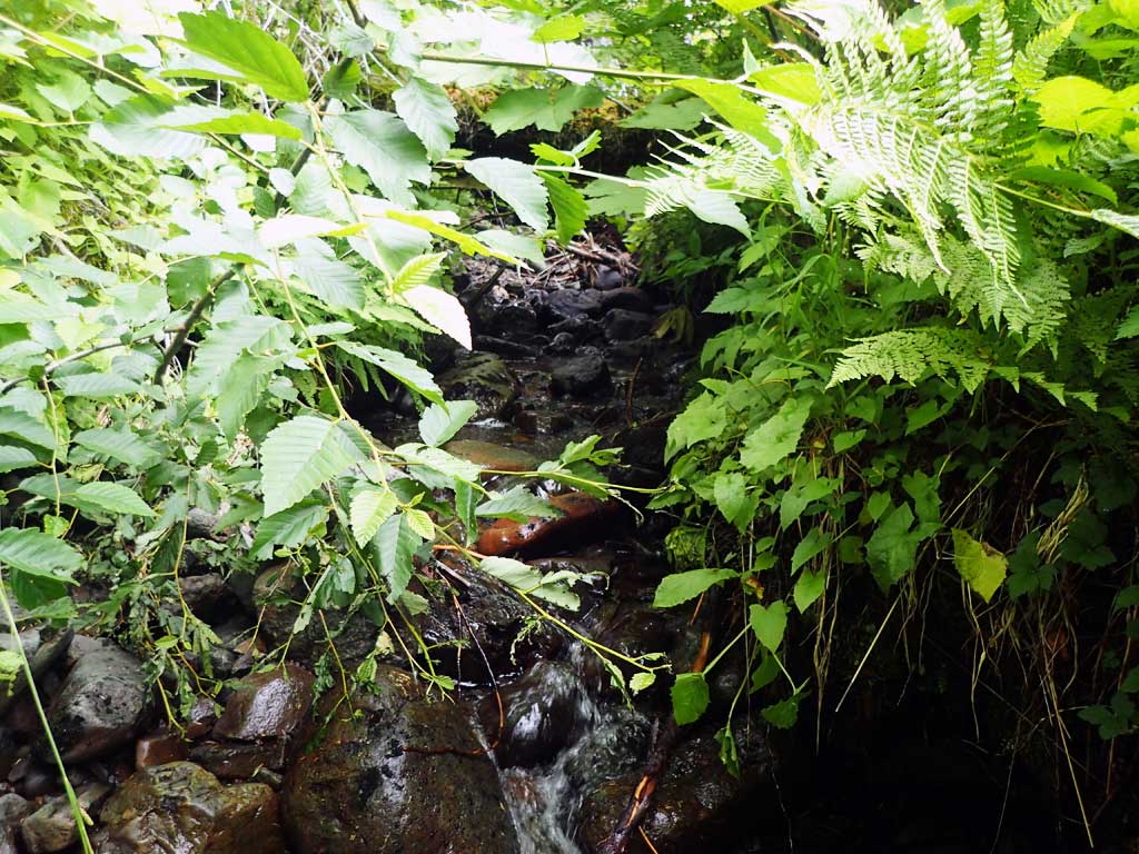
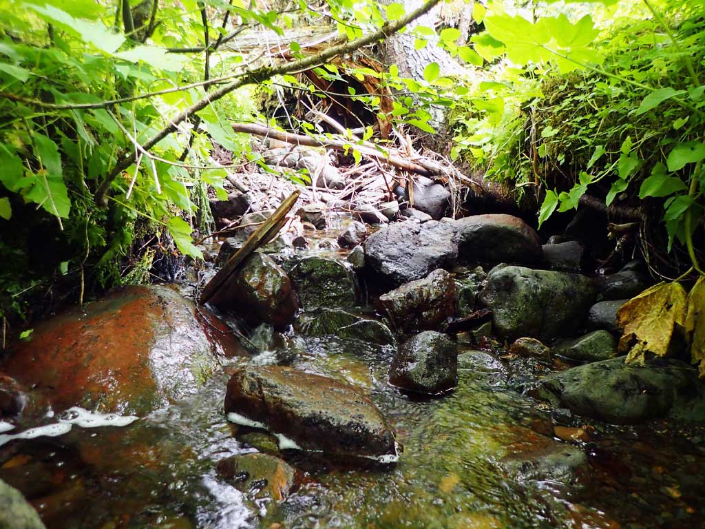
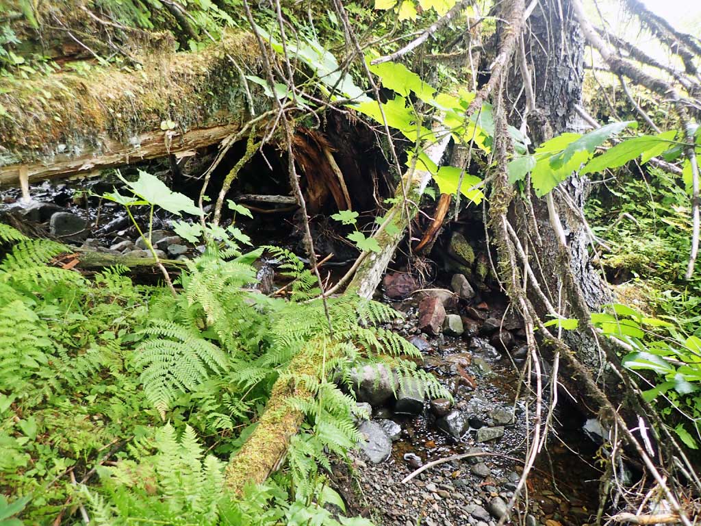
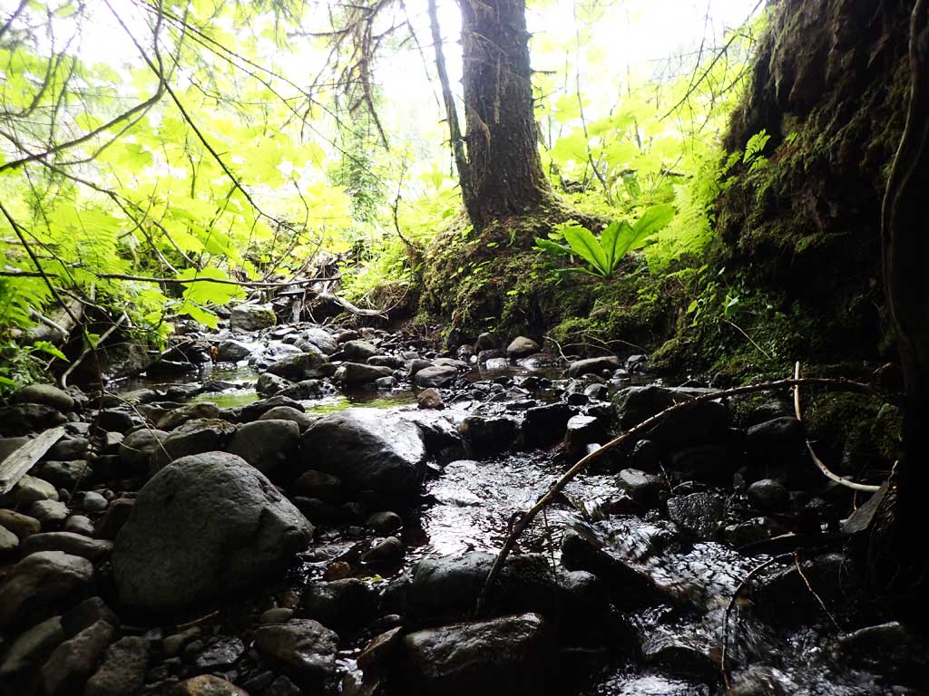
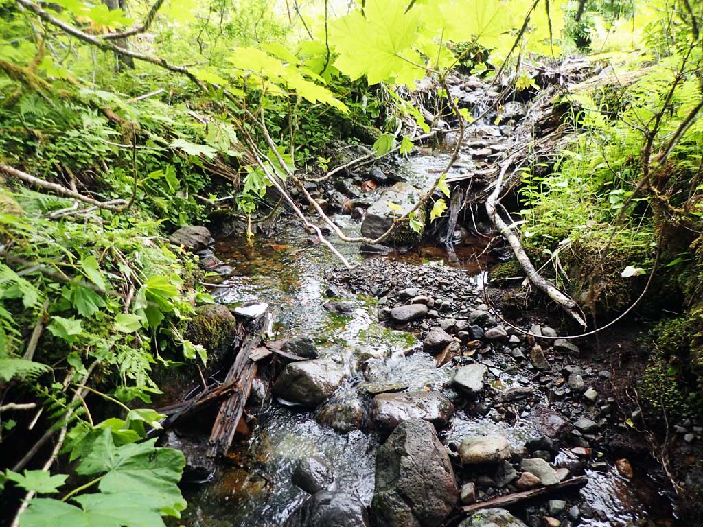
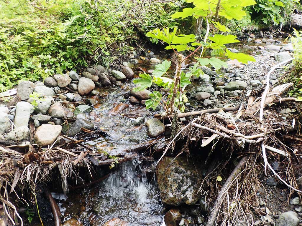
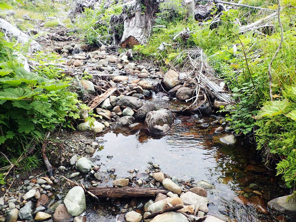
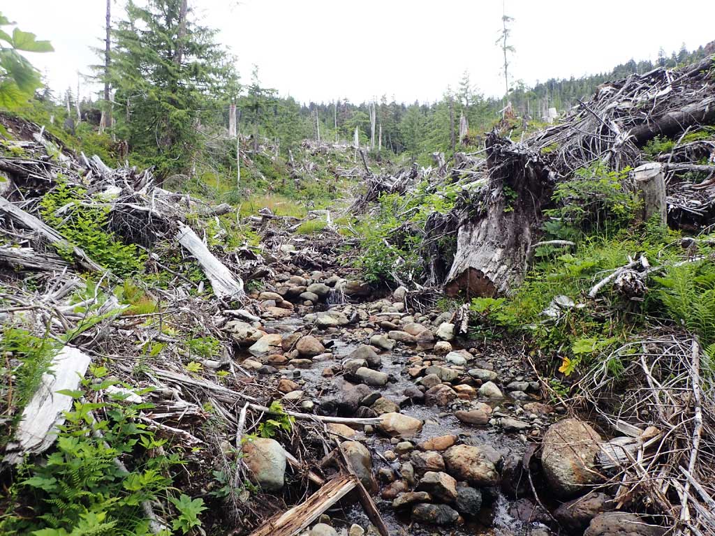
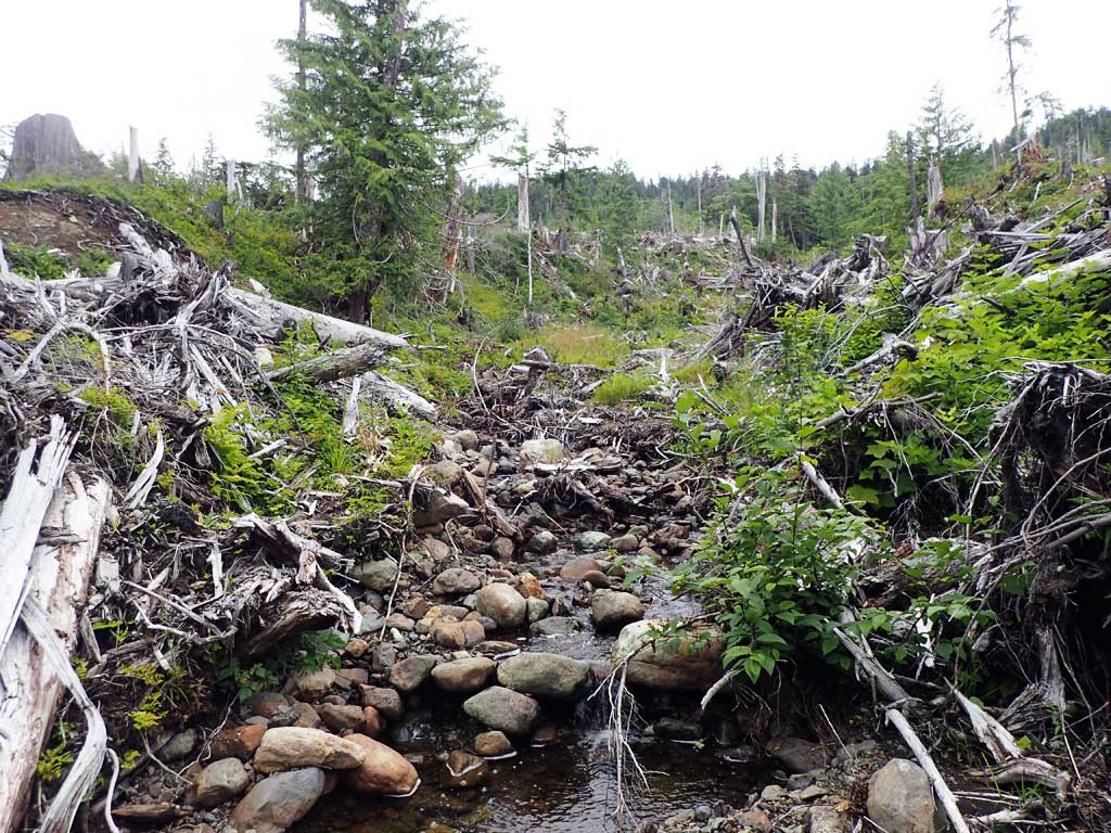
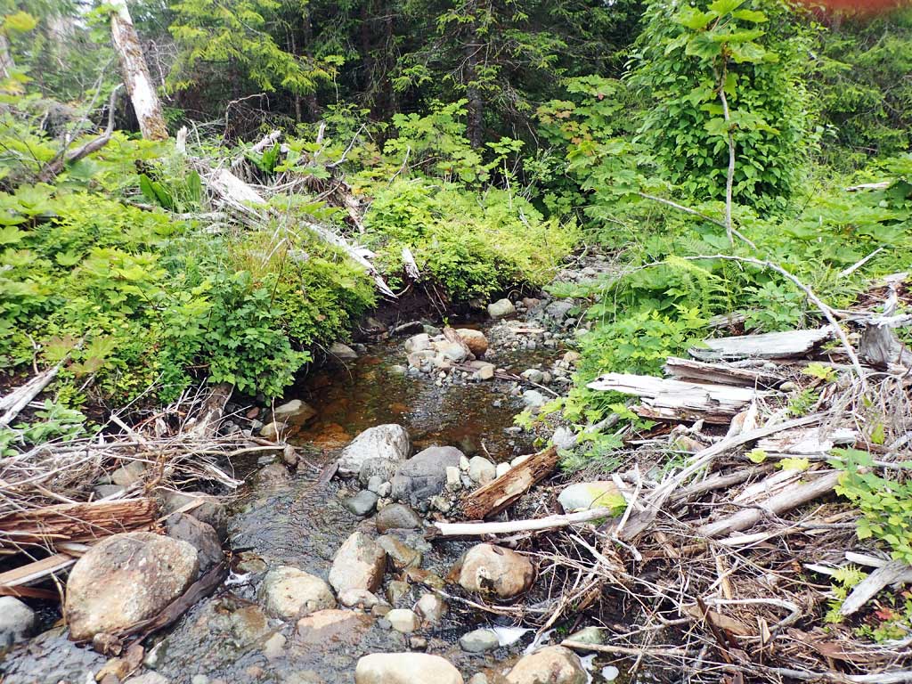
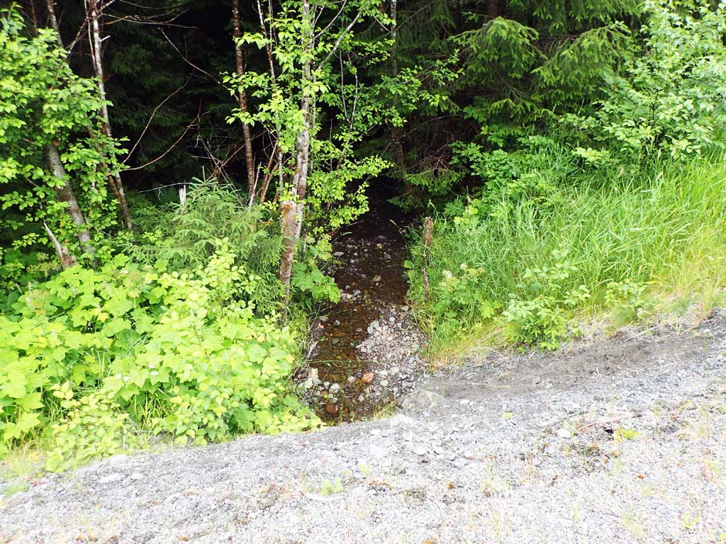
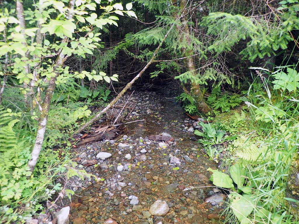
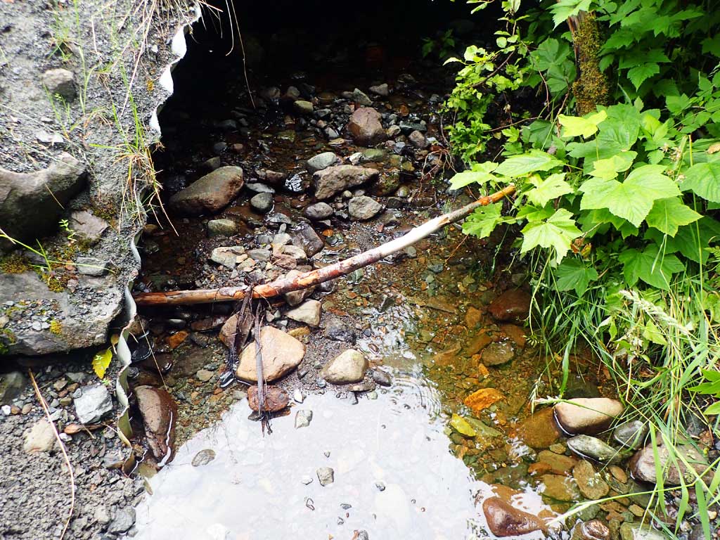
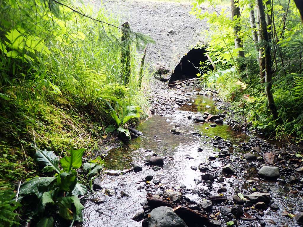
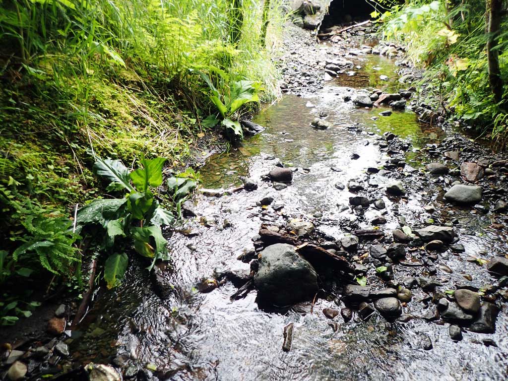
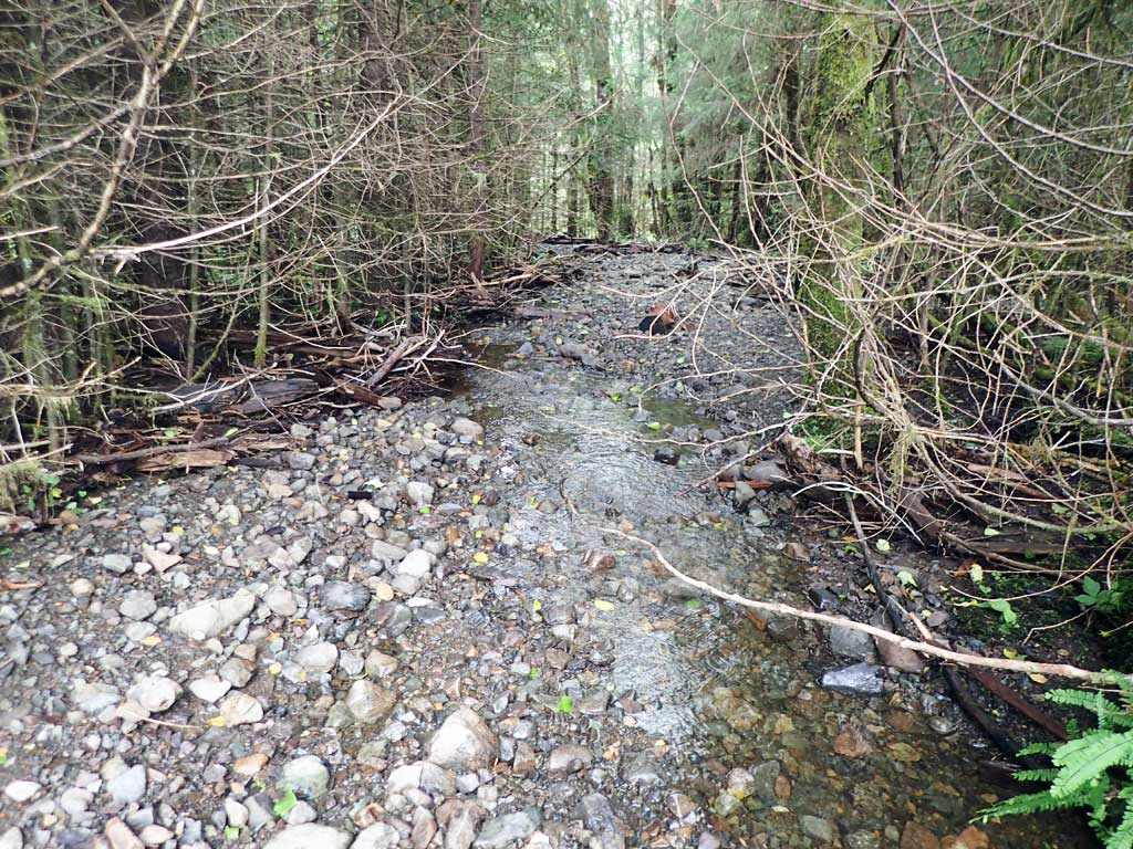
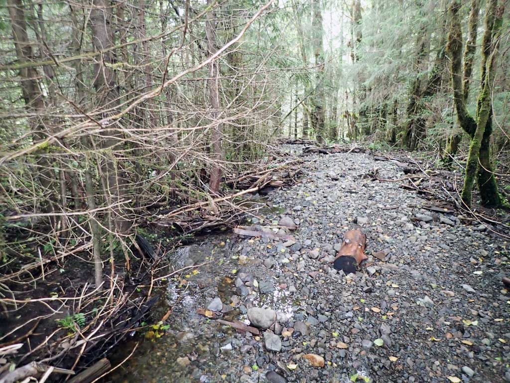
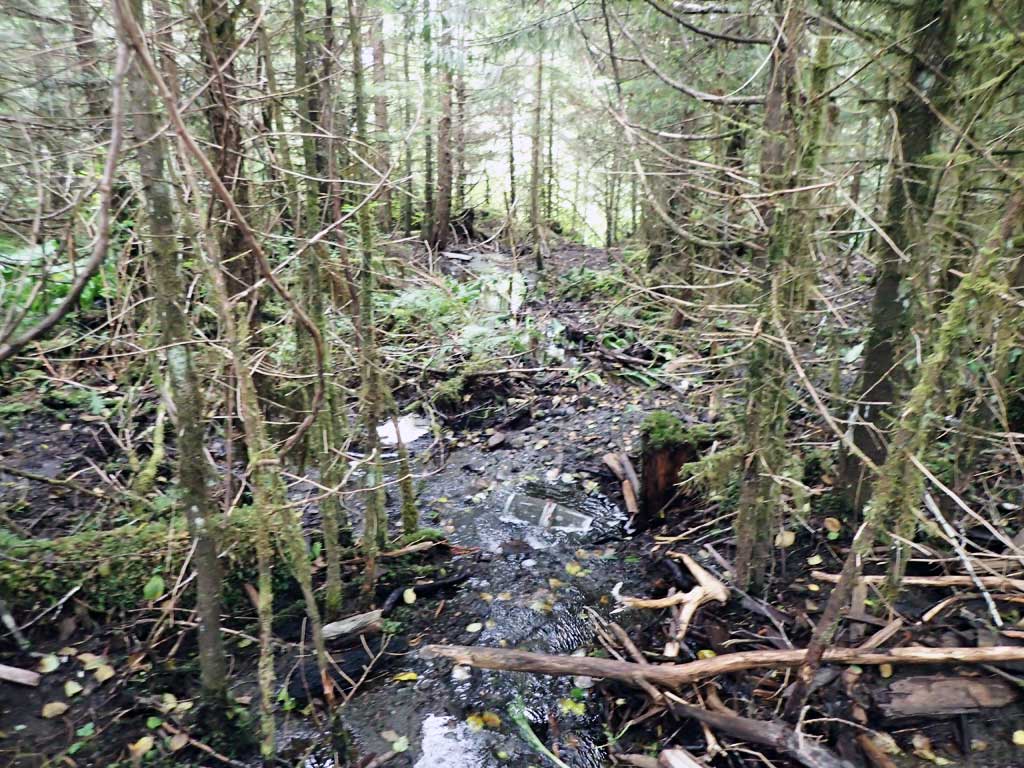
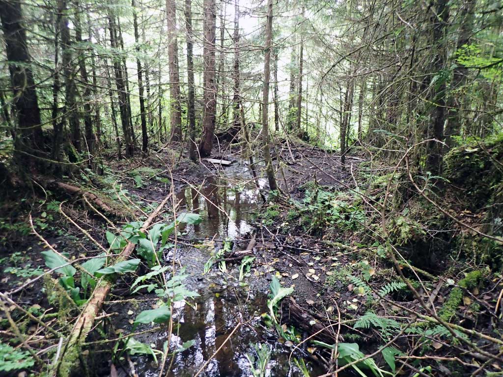
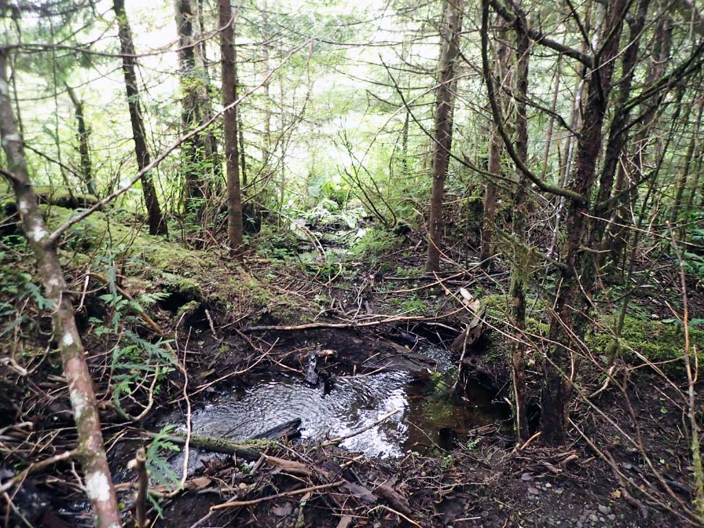
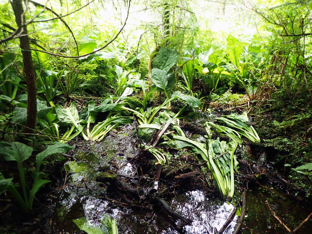
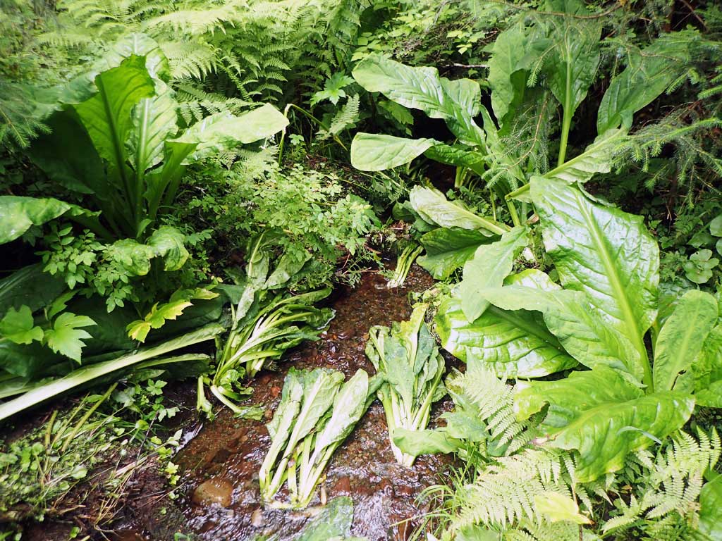
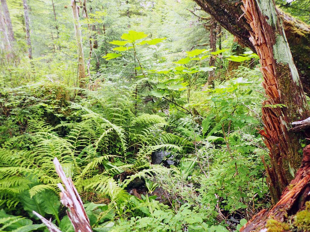
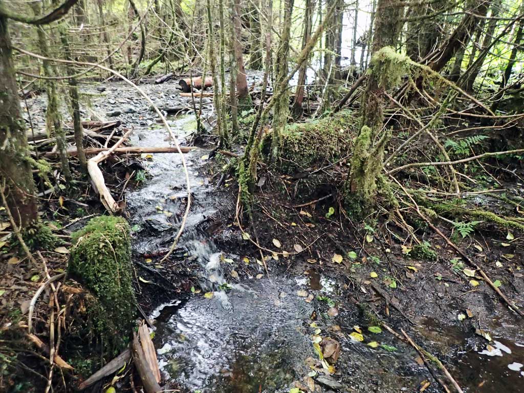
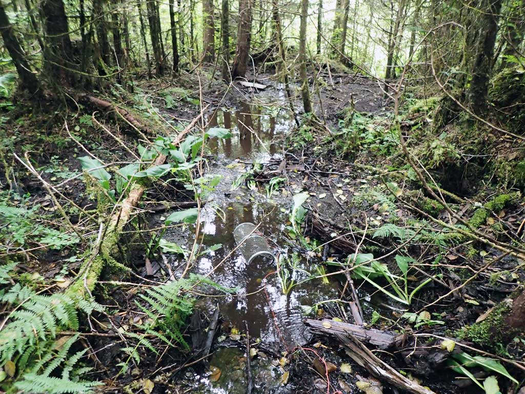
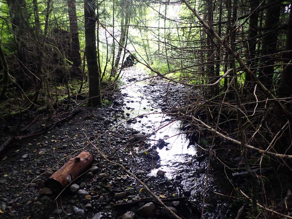
Comments: Downstream has lots of gravel, big large woody debris steps and shallow pools, shallow riffle. Upstream is clearcut, has series of cascades step pools. 1 dolly observed upstream, but no fih caught.
Culvert Measurements
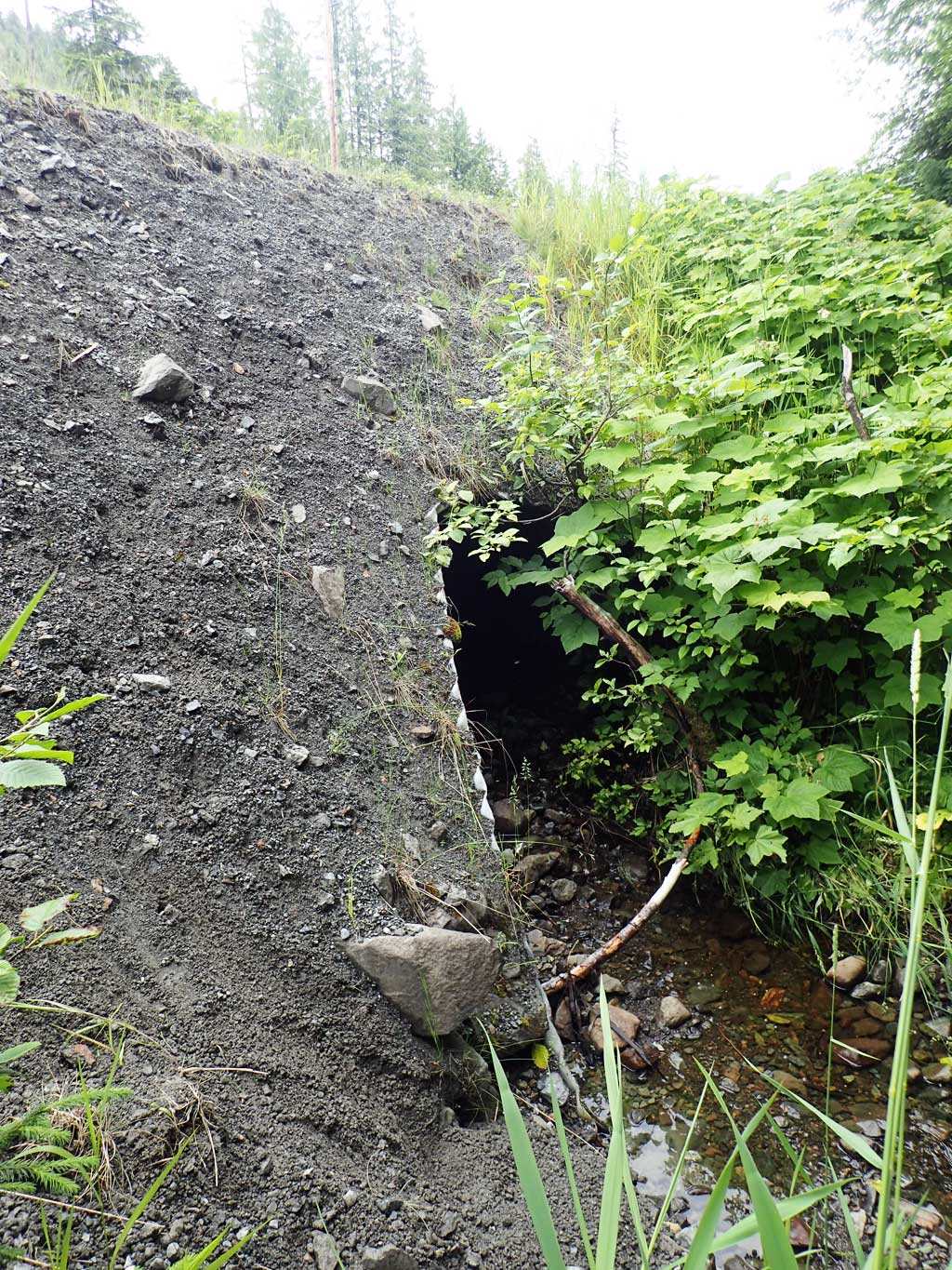
| ID: 1 | Structure Type: Pipe-arch (Corrugated steel) | Fish Passage Rating: | |||||||||||||||||||||||||||||||||||||||||
|
|
|
|||||||||||||||||||||||||||||||||||||||||
Comments: Top of culvert length is 57'. Substrate depth not measured at inlet and outlet. |
|||||||||||||||||||||||||||||||||||||||||||
Stream Measurements
|
|
| Stream Width Type | Distance From Crossing (ft) |
Stream Width (ft) |
|---|---|---|
| Upstream ordinary high water | 30.0 | 1.90 |
| Upstream ordinary high water | 50.0 | 2.20 |
| Upstream ordinary high water | 70.0 | 2.50 |
Elevations
| Locator ID | Culvert Number |
River Distance (ft)1 |
Distance From Crossing (ft)2 |
Relative Elevation (ft) |
|---|---|---|---|---|
| Road Elev | 107.65 | |||
| D/S Grade Ctrl (Thalweg) | 0.00 | 94.41 | ||
| D/S Water Surface Elev | 0.00 | 94.56 | ||
| D/S Thalweg | 12.00 | 94.78 | ||
| D/S Water Surface Elev | 12.00 | 94.86 | ||
| D/S Water Surface Elev | 17.00 | 94.87 | ||
| D/S Thalweg | 17.00 | 94.63 | ||
| Outlet Invert (on substrate) | 24.00 | 94.72 | ||
| D/S Water Surface Elev | 24.00 | 95.07 | ||
| Outlet Culvert Top | 33.00 | 100.00 | ||
| Inlet Culvert Top | 90.00 | 105.57 | ||
| U/S Water Surface Elev | 101.00 | 100.02 | ||
| Inlet Culvert Invert | 101.00 | 99.62 | ||
| U/S Grade Ctrl (Thalweg) | 105.00 | 100.31 | ||
| U/S Water Surface Elev | 105.00 | 100.42 | ||
| U/S Grade Ctrl (Thalweg) | 123.00 | 102.30 | ||
| U/S Water Surface Elev | 123.00 | 102.57 | ||
| U/S Grade Ctrl (Thalweg) | 143.00 | 103.66 | ||
| U/S Water Surface Elev | 143.00 | 104.30 | ||
| U/S Grade Ctrl (Thalweg) | 155.00 | 105.07 | ||
| U/S Water Surface Elev | 155.00 | 105.23 |
Notes:
- River distance is measured continuously throughout the survey reach along the thalweg of the stream.
- Measured from each end of the crossing along the thalweg of the stream.
Fish Sampling Efforts
| Gear Type: Minnow Trap (A) | Trap Duration(h): 1.0 | |
| Comments: no fish | ||
| Gear Type: Minnow Trap (B) | Trap Duration(h): 1.0 | |
| Comments: no fish | ||
| Gear Type: Visual Observation, Ground (C) | ||
| Comments: Observed a fish upstream likely Dolly Varden | ||
Fish Observations
No fish observations occurred during this survey.
Photos


Questions or comments about this report can be directed to dfg.dsf.webmaster@alaska.gov