Fish Passage Site 10103608
Coordinates (dec. deg.): 55.69738°, -132.89203°
Legal Description: C071S082E19
Region: Southeast
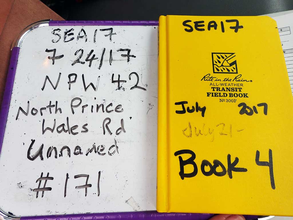
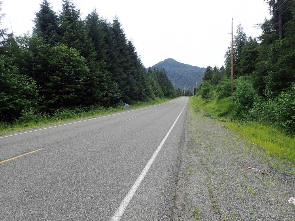
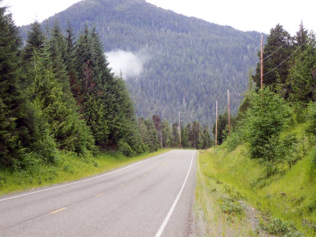
Road Name: North Prince of Wales Road
Datum: NAD83
Quad Name / ITM: Craig C-3
AWC Stream #:
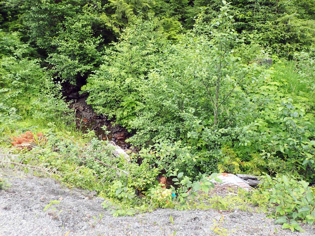
Stream Name: Unnamed
Elevation:
Site Comments: None
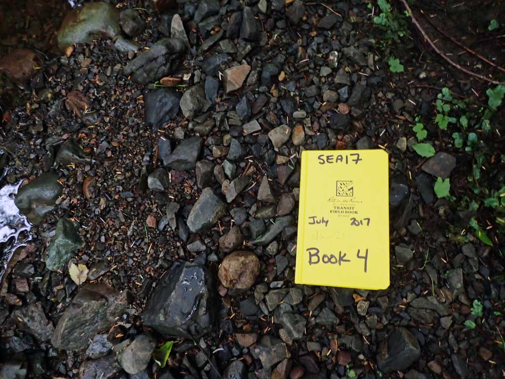
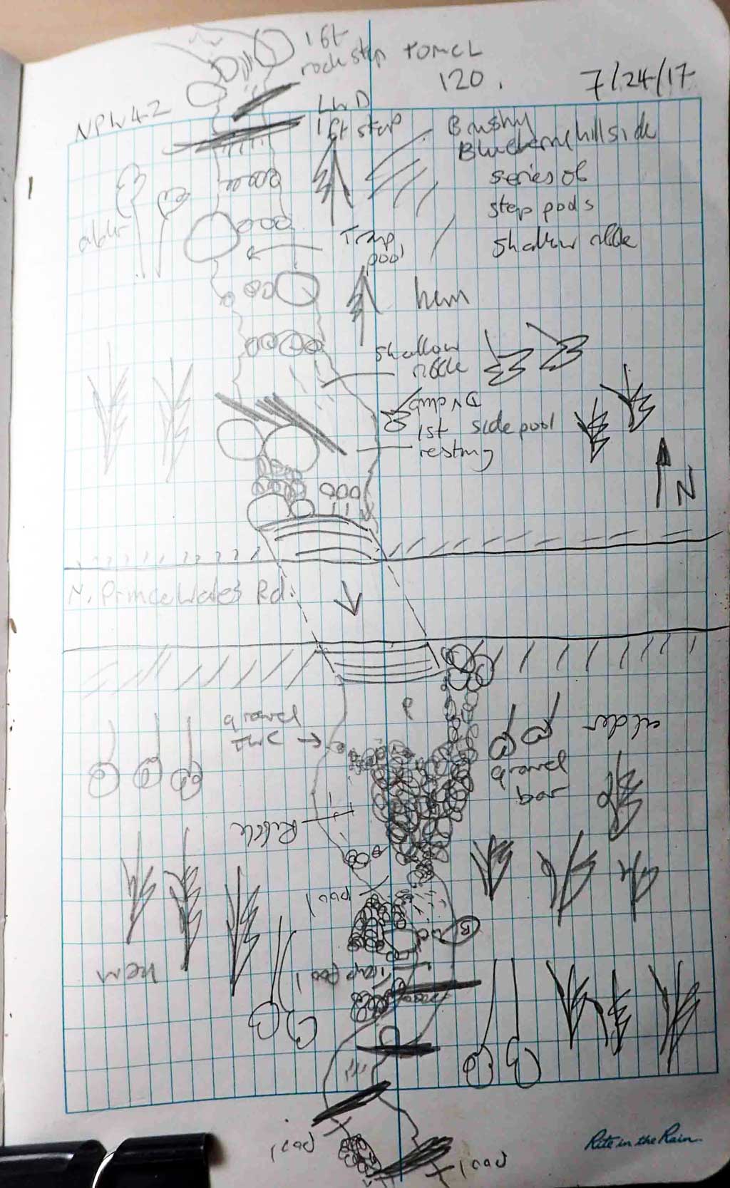
Survey SEA17-NPW42
Observers: Elizabeth Flory, Kelly Petty
Overall Fish Passage Rating:
Tidal: No
Backwatered: No
Step Pools: No
Construction Year:
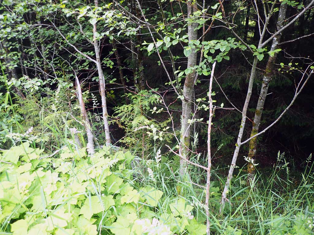
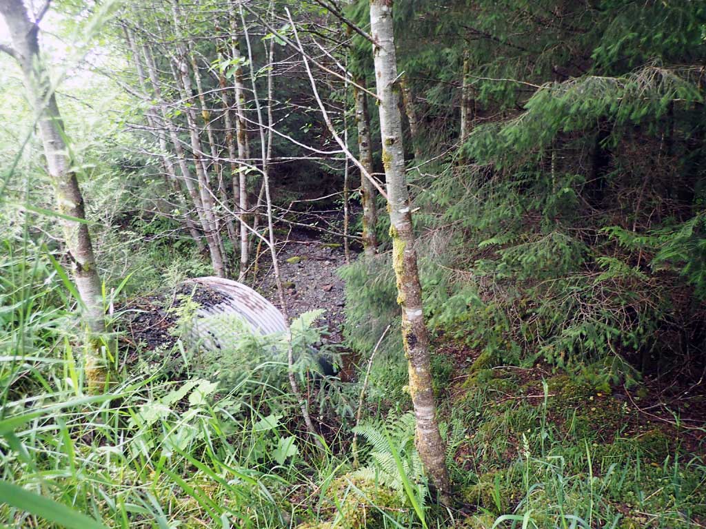
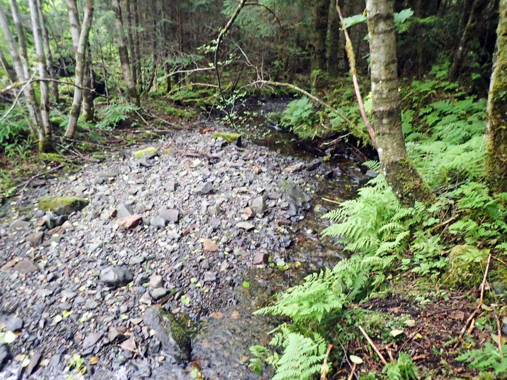
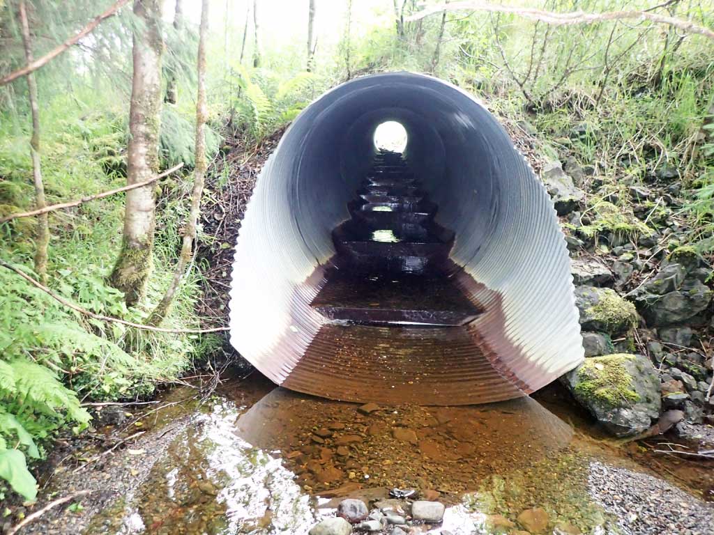
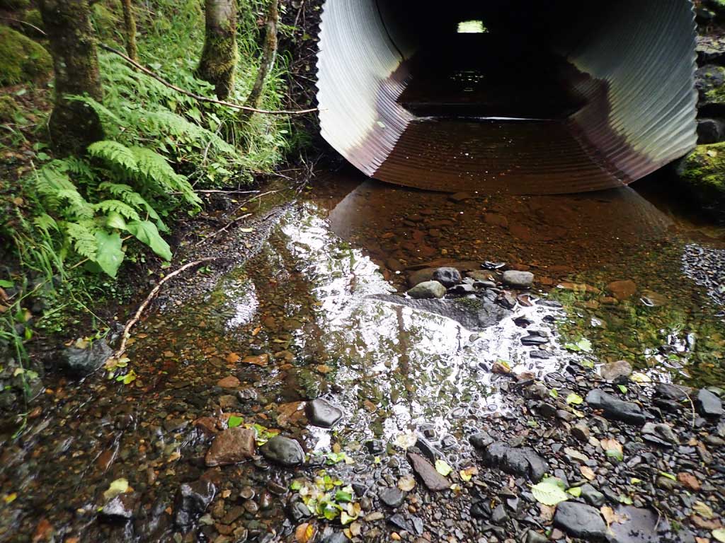
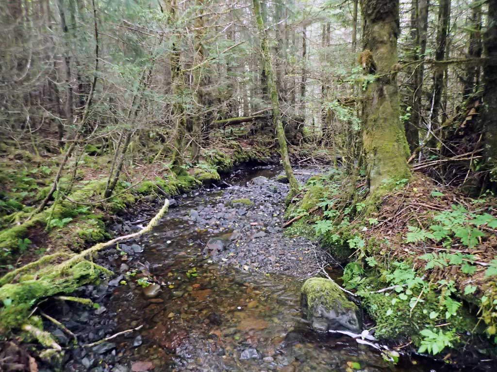
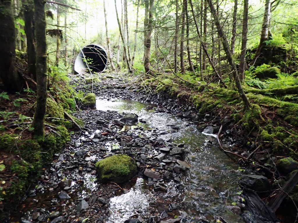
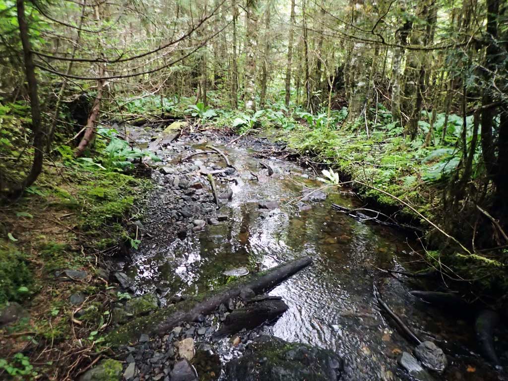
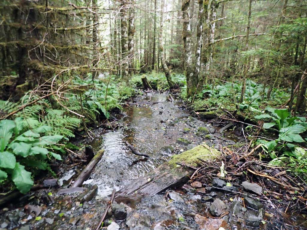
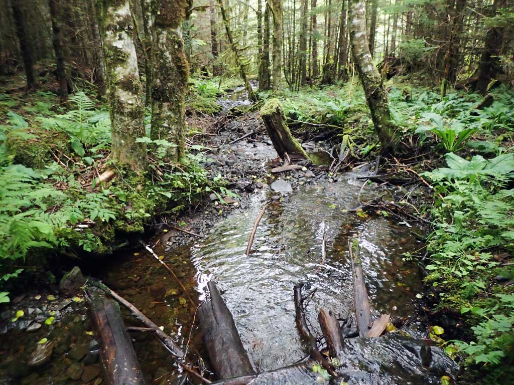
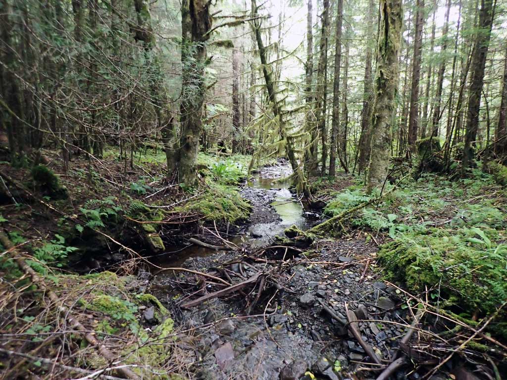
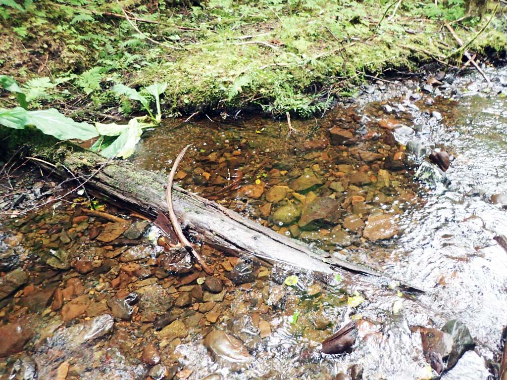
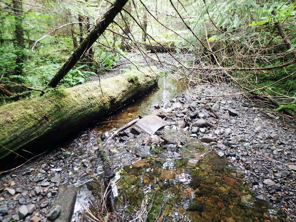
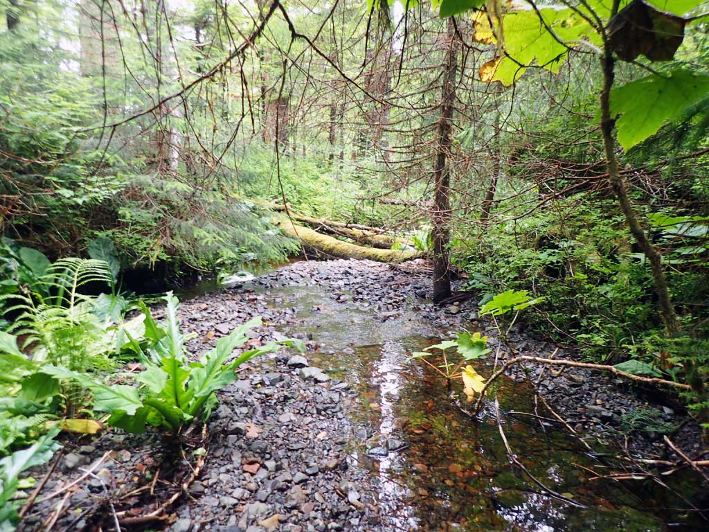
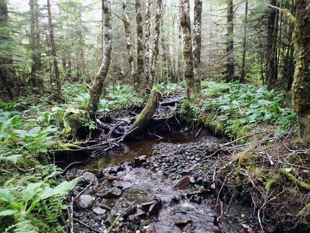
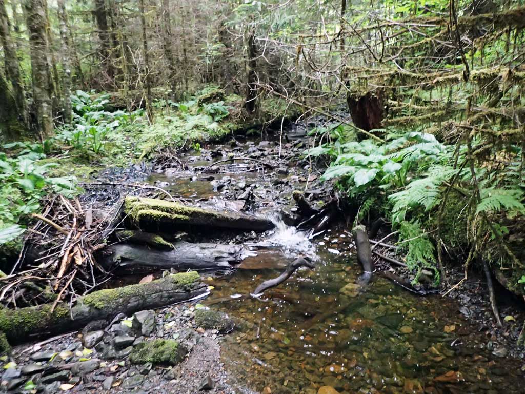
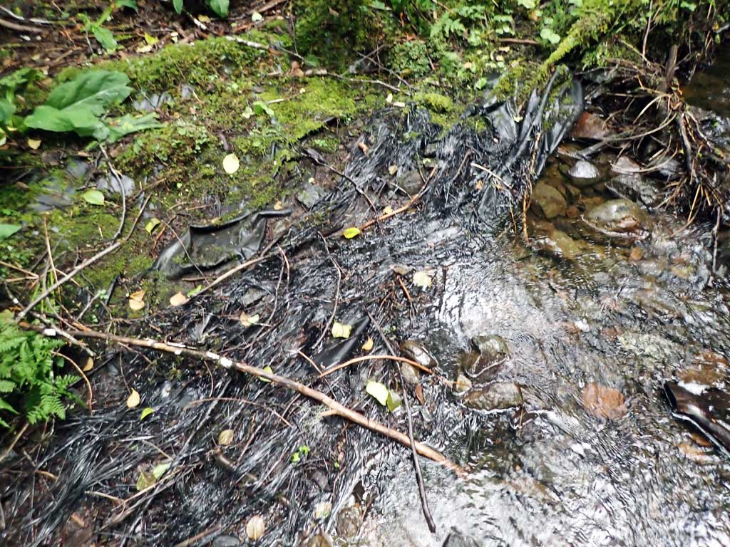
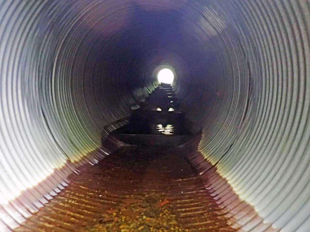
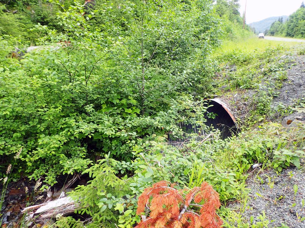
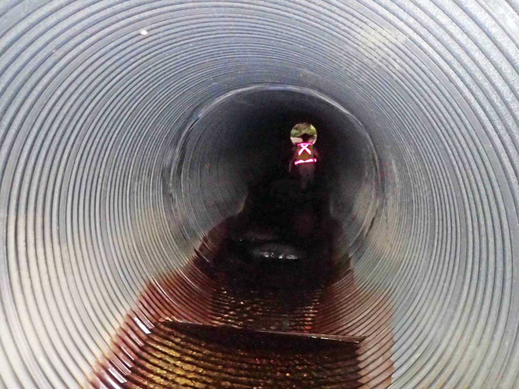
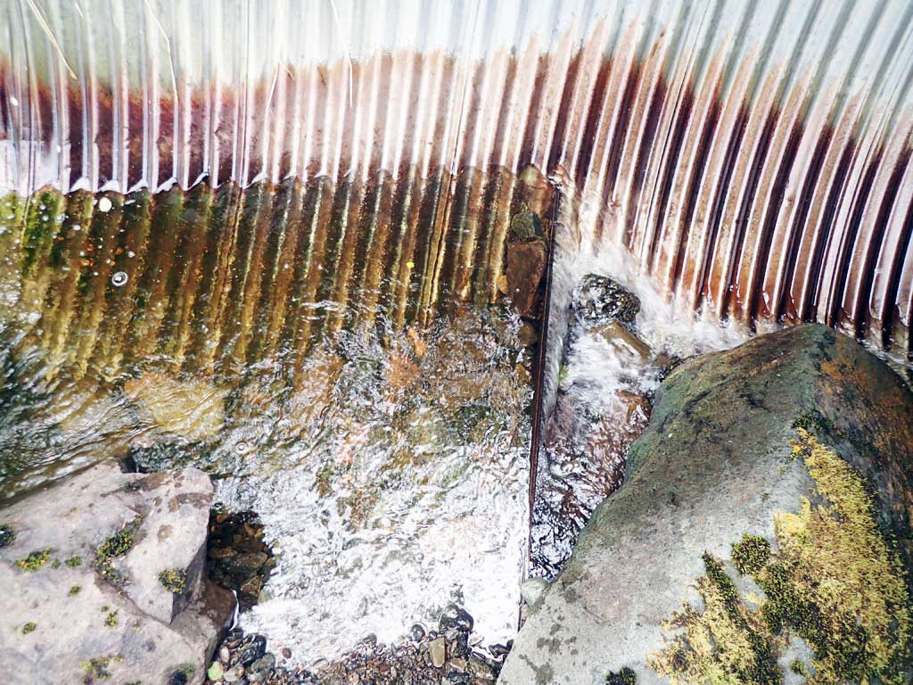
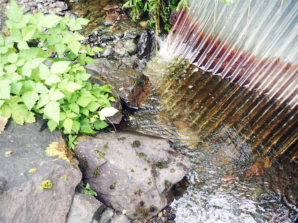
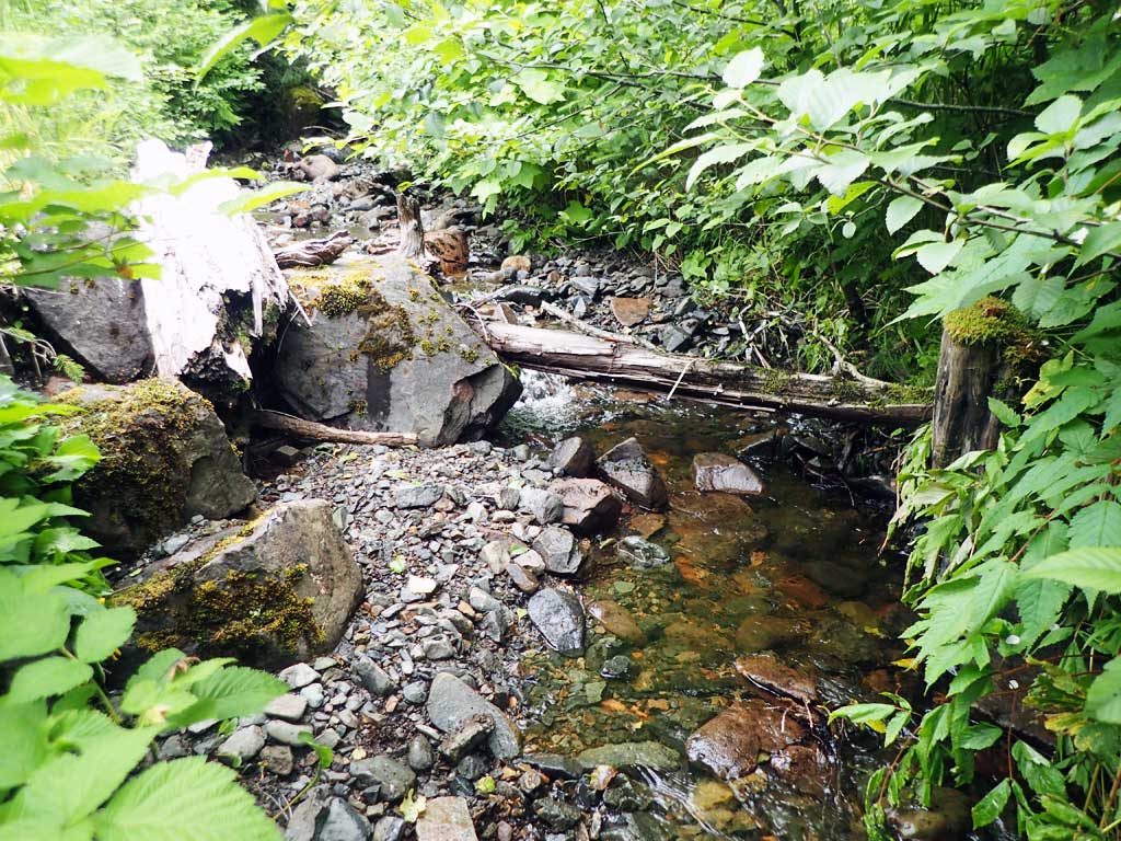
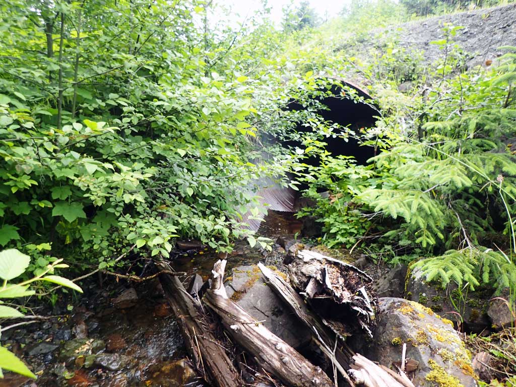
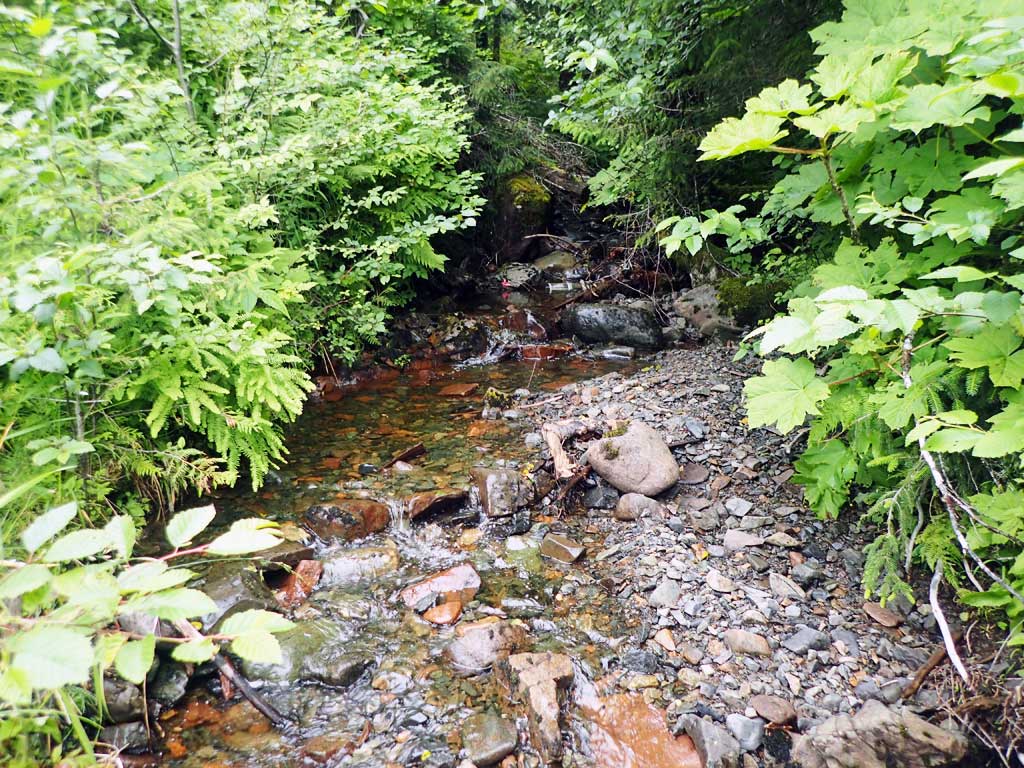
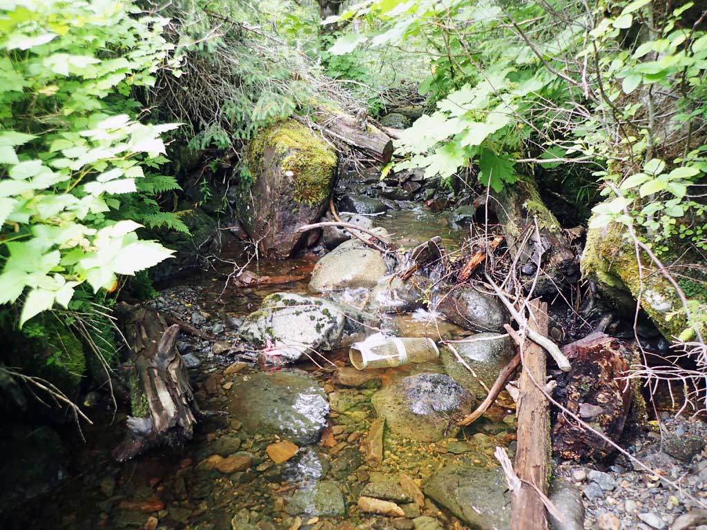
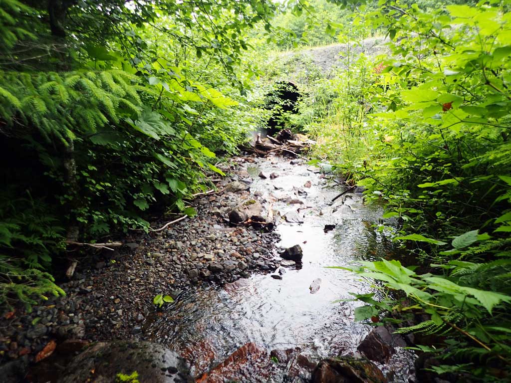
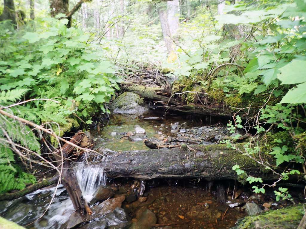
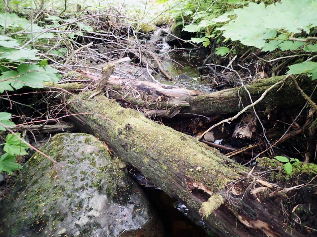
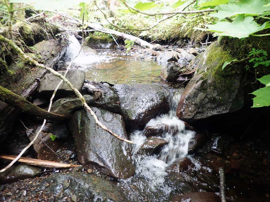
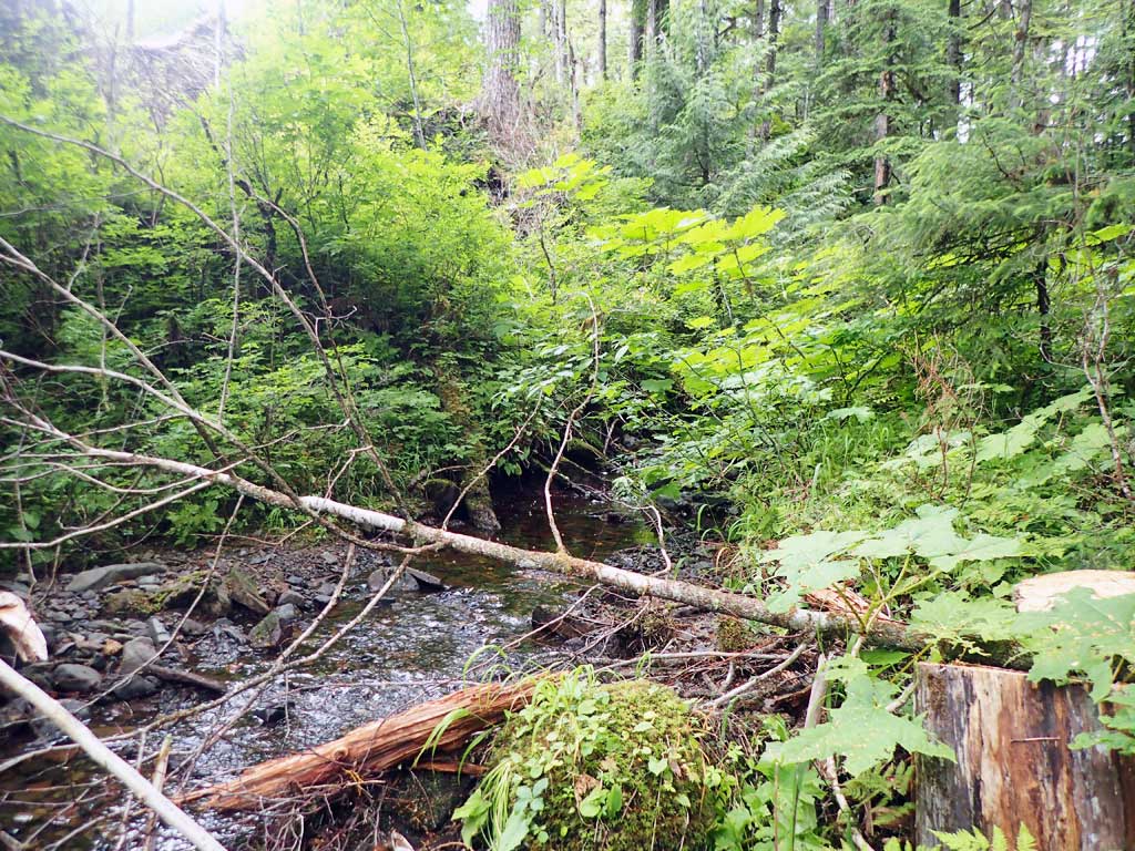
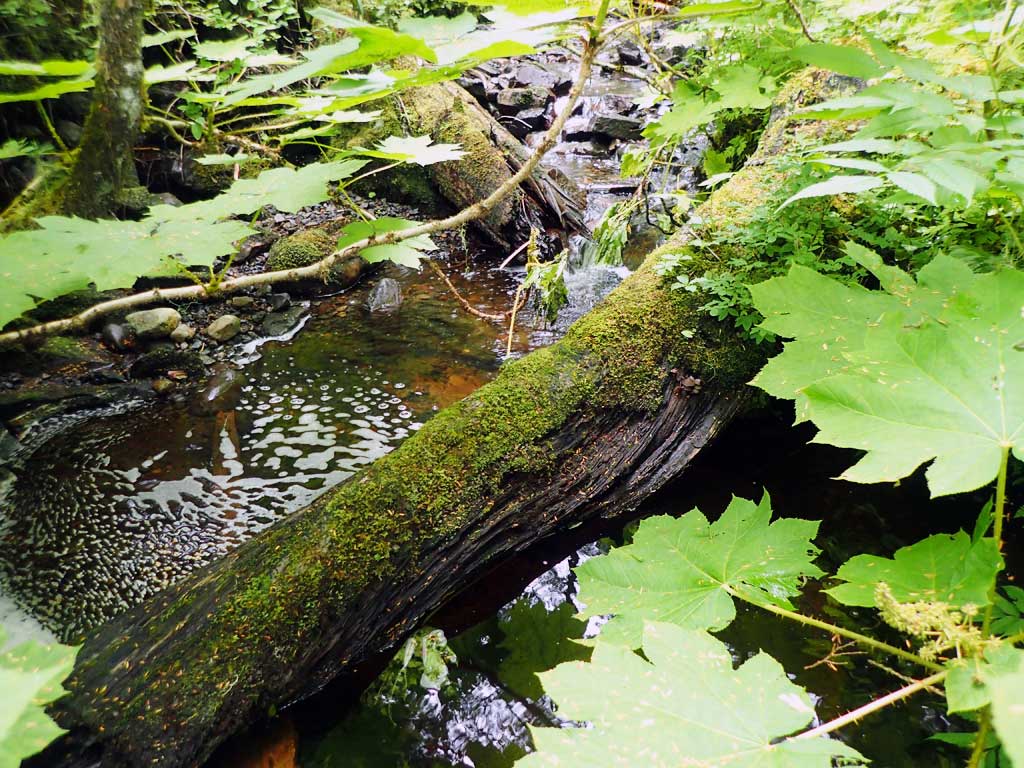
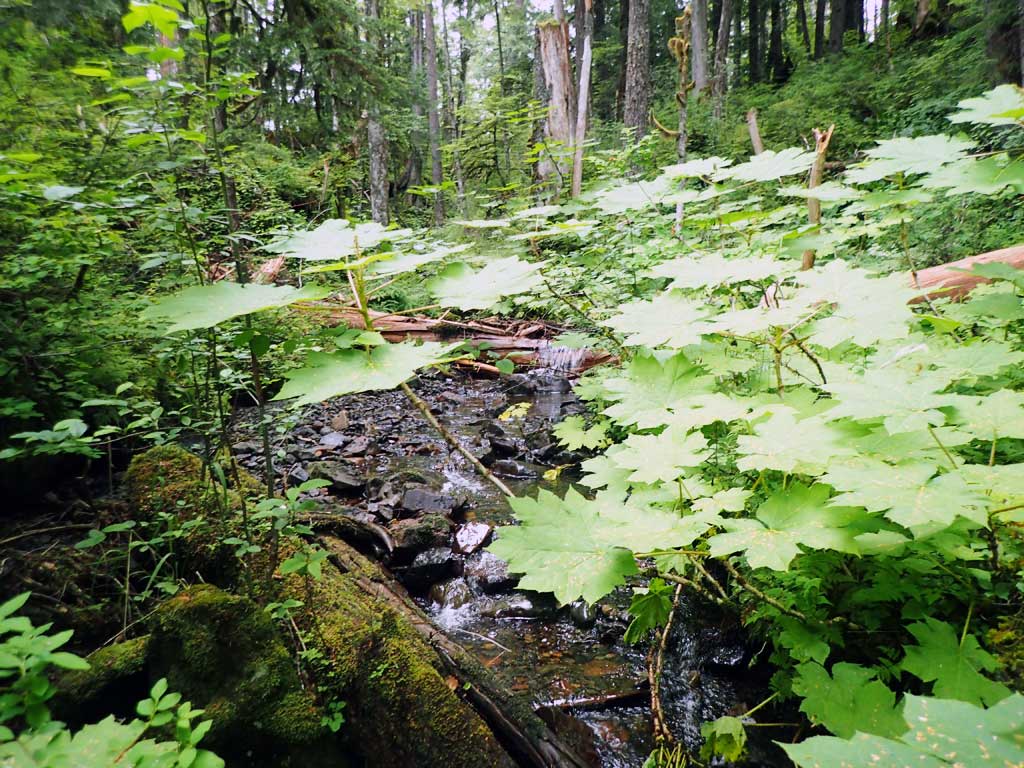
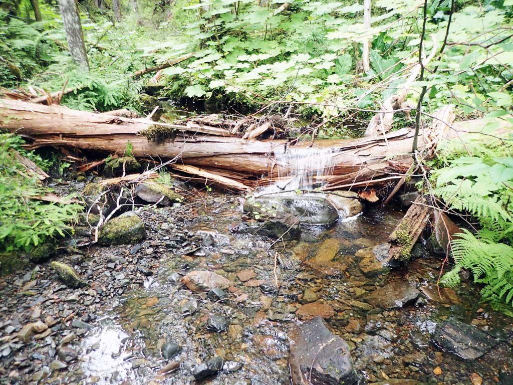
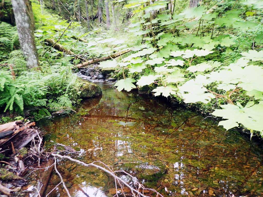
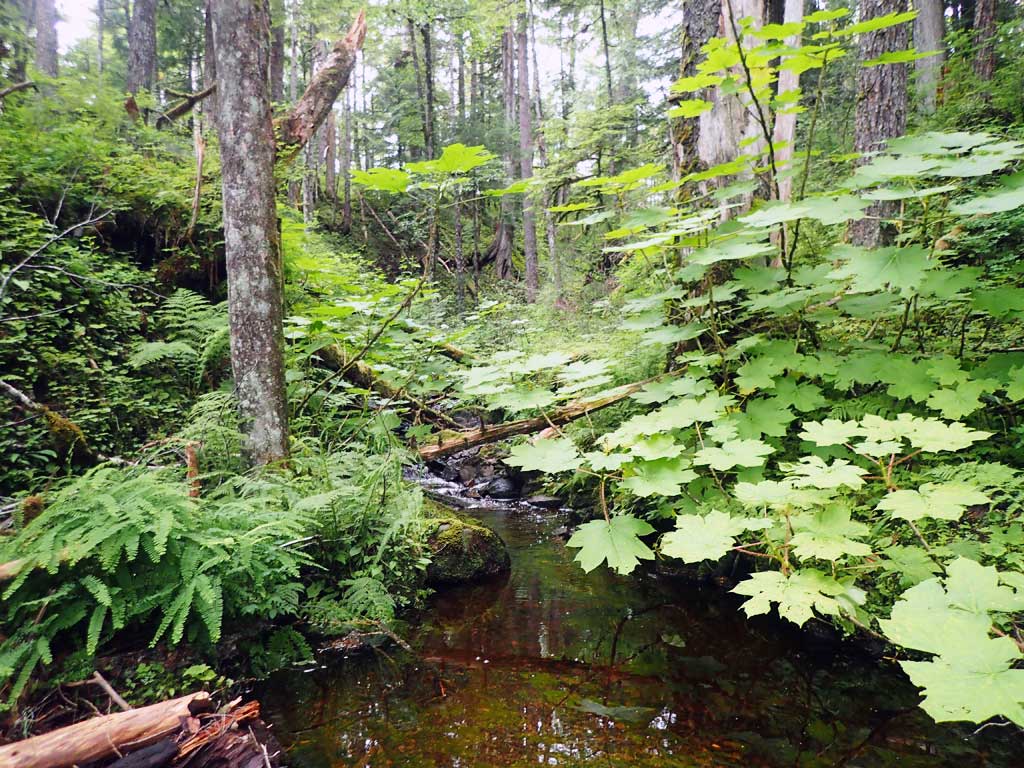
Comments: Baffles, steep pipe. First resting is side pool near inlet.Logs and boulder by inlet. Upstream has series of step pools and shallow riffle. Downstream has large gravel bar forming tailwater control, large woody debris pools. No fish captured.
Culvert Measurements
| ID: 1 | Structure Type: Circular pipe (Corrugated steel) | Fish Passage Rating: | |||||||||||||||||||||||||||||||||||||||||
|
|
|
|||||||||||||||||||||||||||||||||||||||||
Comments: Downstream gradient measured. Pipe gradient steeper than stream. Top of culvert length 102'. |
|||||||||||||||||||||||||||||||||||||||||||
Stream Measurements
|
|
| Stream Width Type | Distance From Crossing (ft) |
Stream Width (ft) |
|---|---|---|
| Upstream ordinary high water | 40.0 | 4.50 |
| Upstream ordinary high water | 60.0 | 4.90 |
| Upstream ordinary high water | 80.0 | 3.20 |
Elevations
| Locator ID | Culvert Number |
River Distance (ft)1 |
Distance From Crossing (ft)2 |
Relative Elevation (ft) |
|---|---|---|---|---|
| Road Elev | 117.96 | |||
| D/S Grade Ctrl (Thalweg) | 0.00 | 95.88 | ||
| D/S Water Surface Elev | 0.00 | 96.27 | ||
| D/S Thalweg (pool) | 18.00 | 96.91 | ||
| D/S Water Surface Elev | 18.00 | 97.47 | ||
| D/S Tailcrest or 1st Thalweg (gravel bar) | 75.00 | 99.43 | ||
| D/S Water Surface Elev | 75.00 | 99.62 | ||
| Max Pool Depth | 83.00 | 98.85 | ||
| D/S Water Surface Elev | 83.00 | 99.74 | ||
| Outlet Invert | 86.00 | 98.99 | ||
| D/S Water Surface Elev | 86.00 | 99.72 | ||
| Outlet Culvert Top | 95.00 | 106.31 | ||
| Inlet Culvert Top | 215.00 | 115.17 | ||
| Inlet Culvert Invert | 222.00 | 107.56 | ||
| U/S Water Surface Elev | 222.00 | 108.23 | ||
| U/S Water Surface Elev | 231.00 | 108.48 | ||
| U/S Grade Ctrl (Thalweg) | 231.00 | 108.16 | ||
| U/S Grade Ctrl (Thalweg) | 266.00 | 110.93 | ||
| U/S Water Surface Elev | 266.00 | 111.93 | ||
| U/S Water Surface Elev | 270.00 | 112.33 | ||
| U/S Grade Ctrl (Thalweg) | 270.00 | 111.53 |
Notes:
- River distance is measured continuously throughout the survey reach along the thalweg of the stream.
- Measured from each end of the crossing along the thalweg of the stream.
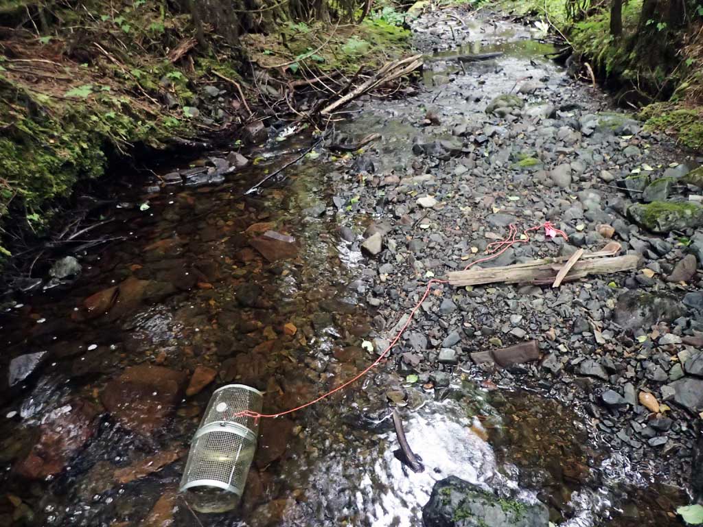
Fish Sampling Efforts
| Gear Type: Minnow Trap (A) | Trap Duration(h): 1.3 | |
| Comments: no fish | ||
| Gear Type: Minnow Trap (B) | Trap Duration(h): 1.5 | |
| Comments: no fish | ||
Fish Observations
No fish observations occurred during this survey.
Photos
Questions or comments about this report can be directed to dfg.dsf.webmaster@alaska.gov