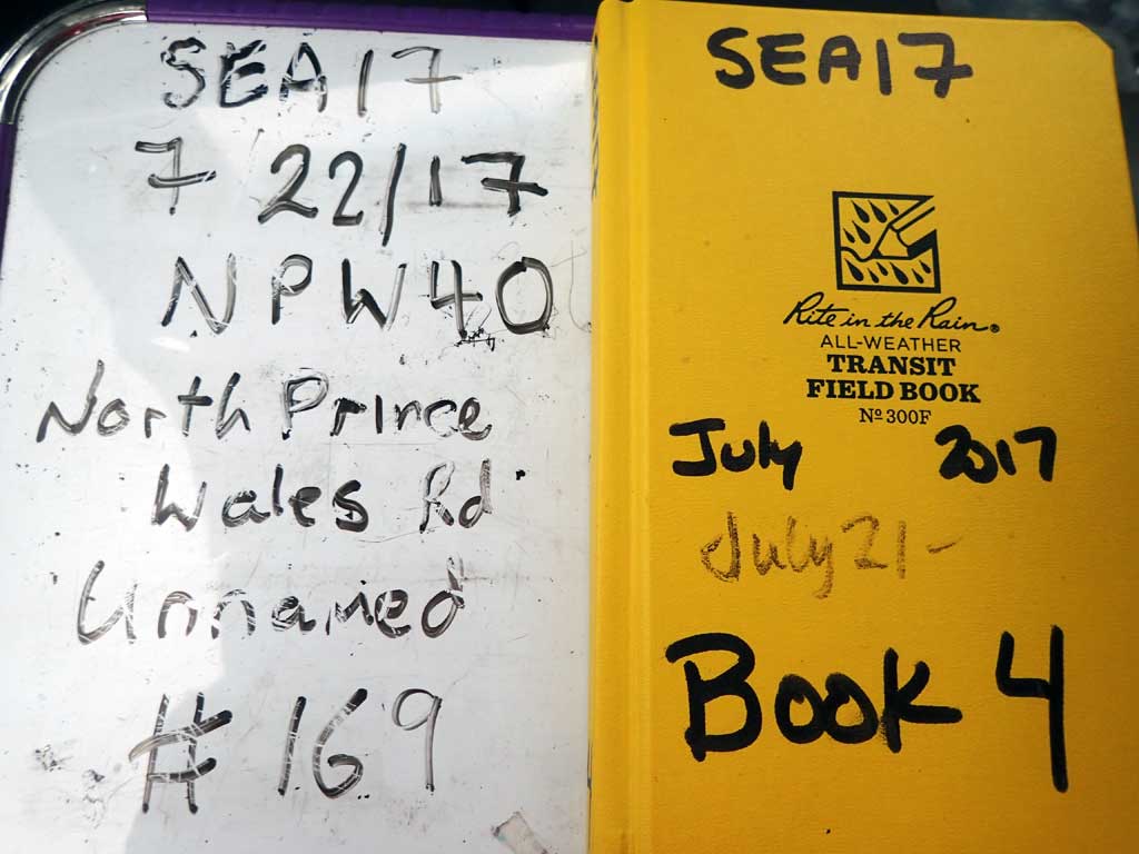
Fish Passage Site 10103606
Coordinates (dec. deg.): 55.70643°, -132.90585°
Legal Description: C071S082E18
Region: Southeast
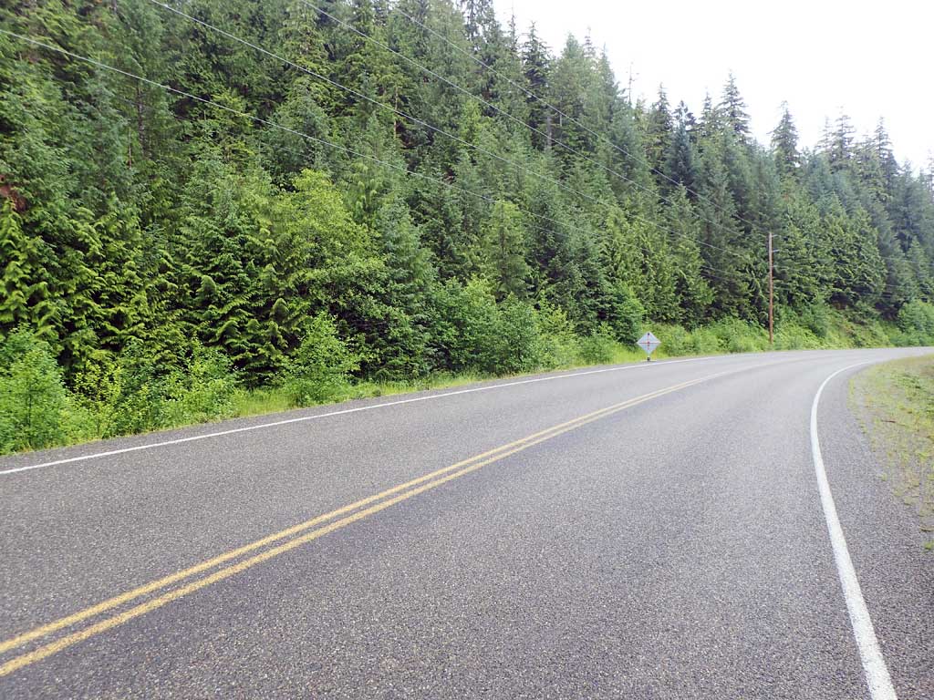
Road Name: North Prince of Wales Road
Datum: NAD83
Quad Name / ITM: Craig C-3
AWC Stream #:
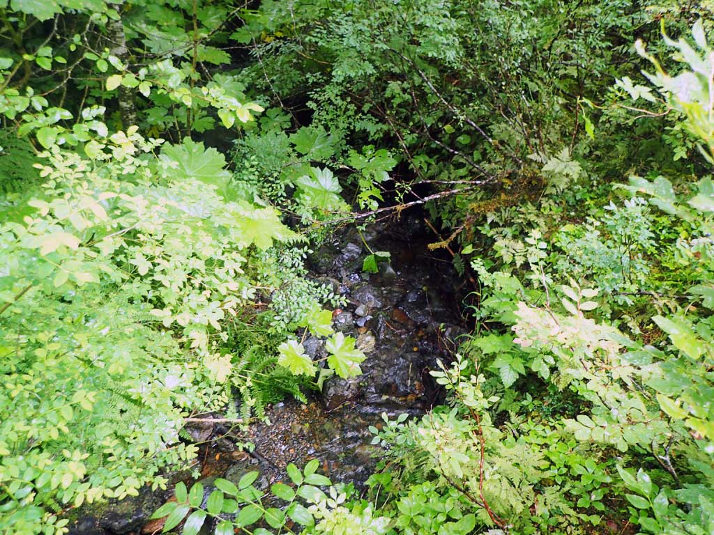
Stream Name: Unnamed
Elevation:
Site Comments: None
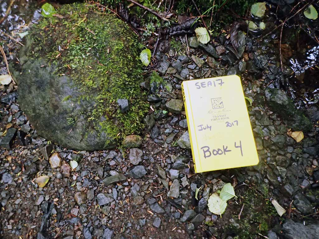
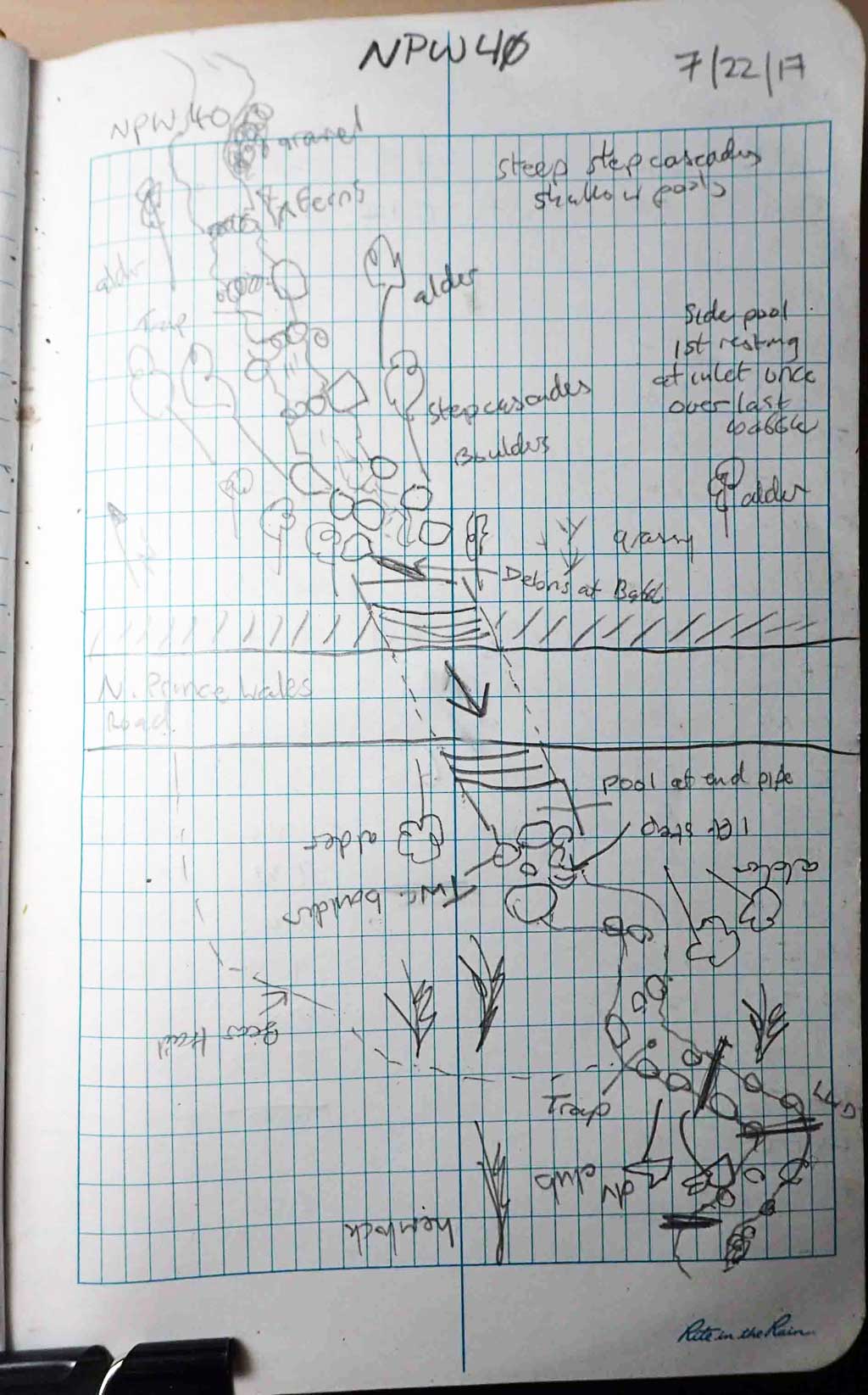
Survey SEA17-NPW40
Observers: Elizabeth Flory, Kelly Petty
Overall Fish Passage Rating:
Tidal: No
Backwatered: No
Step Pools: No
Construction Year:
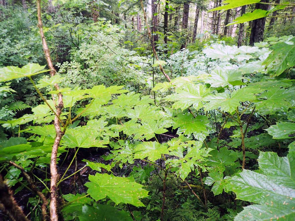
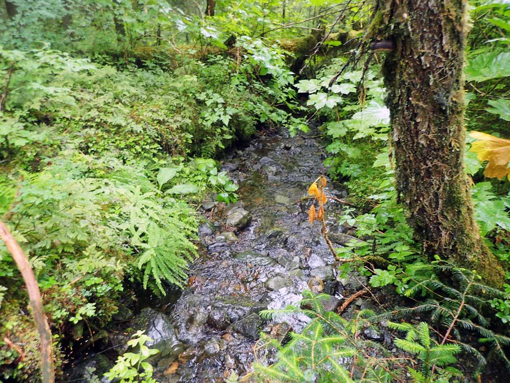
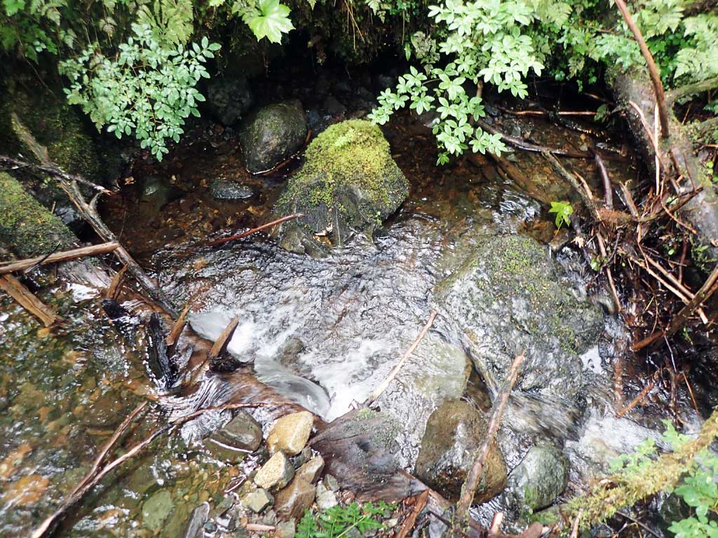
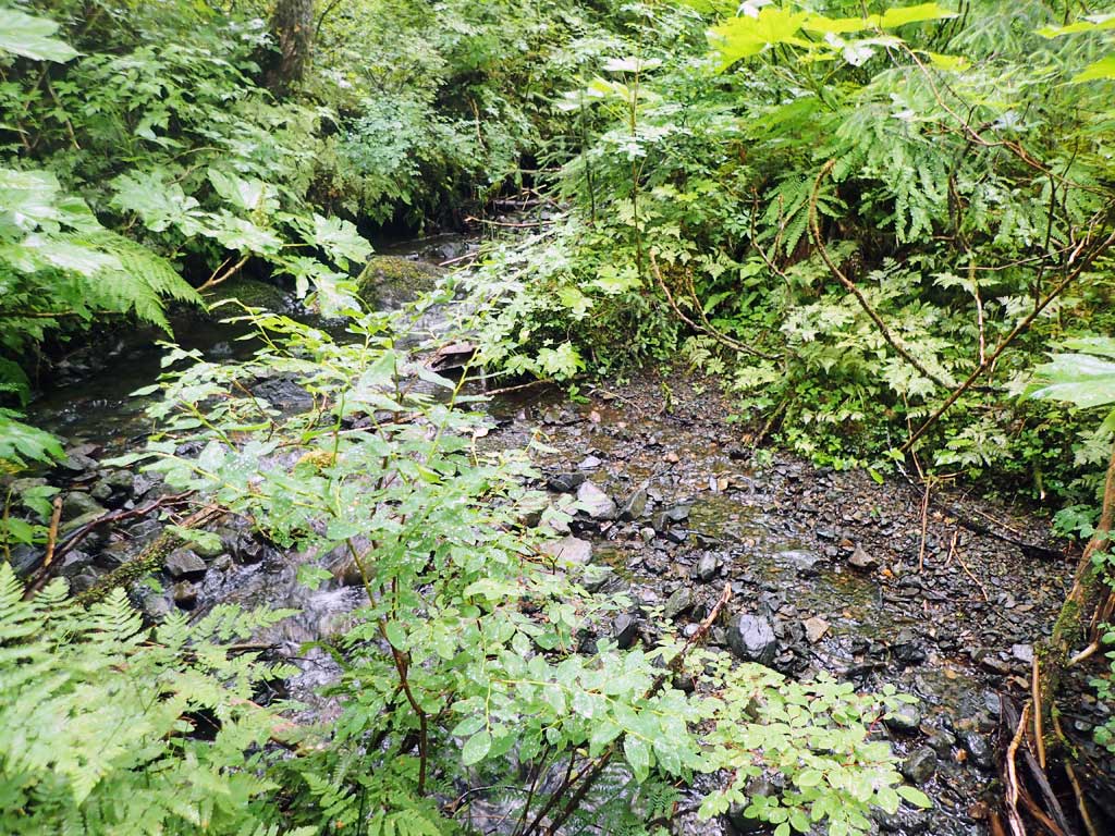
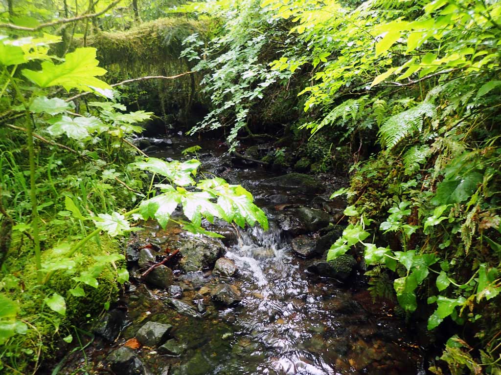
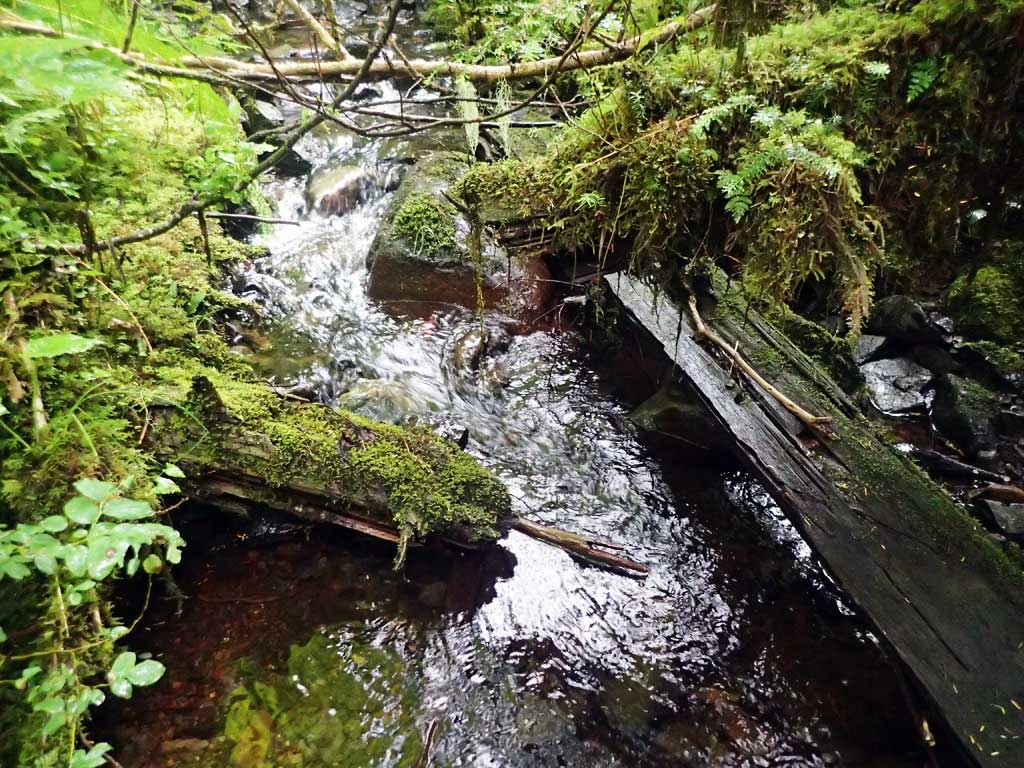
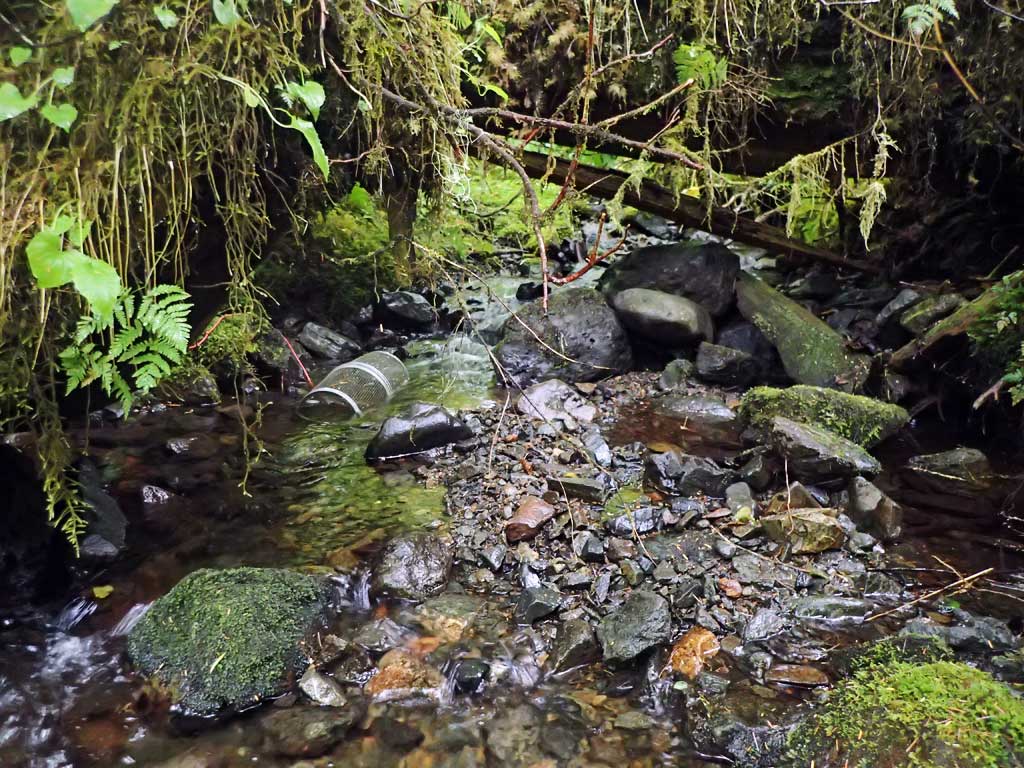
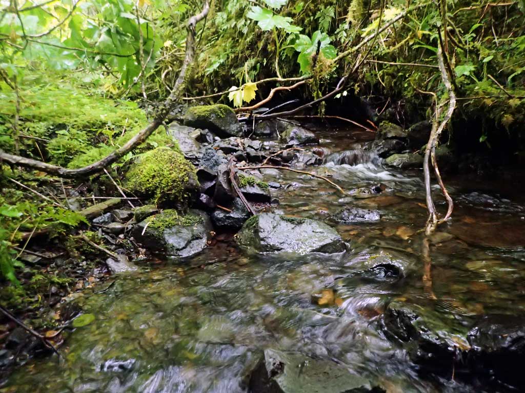
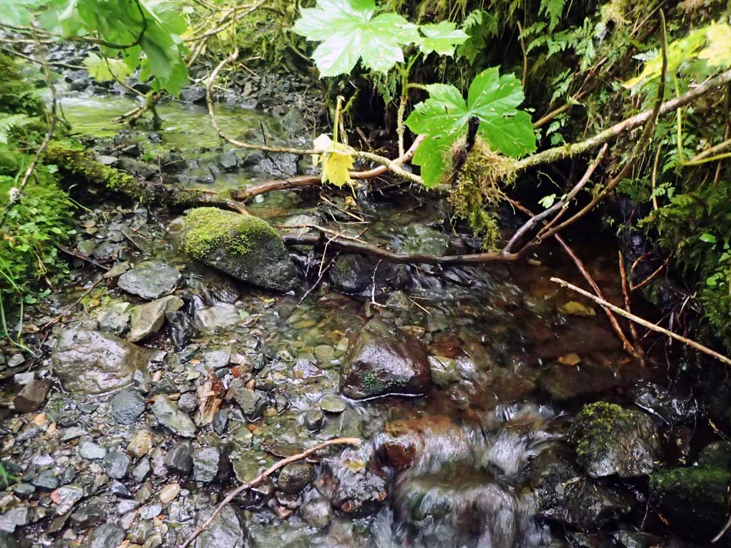
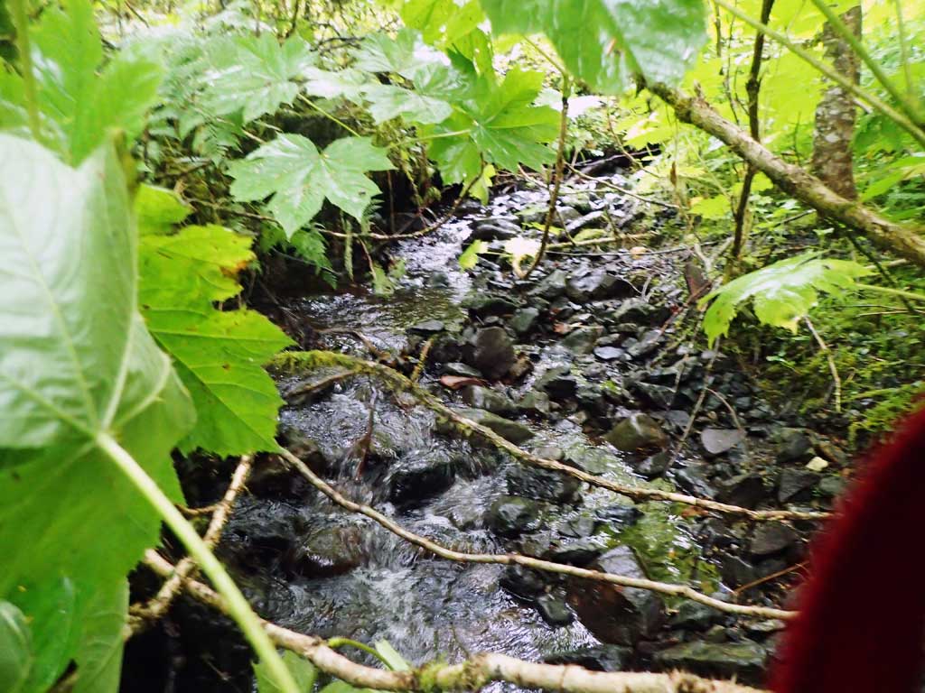
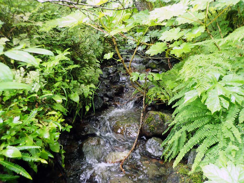
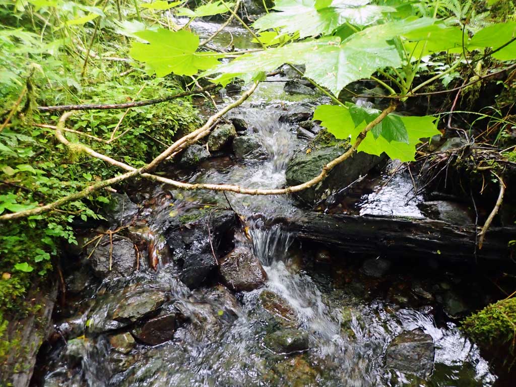
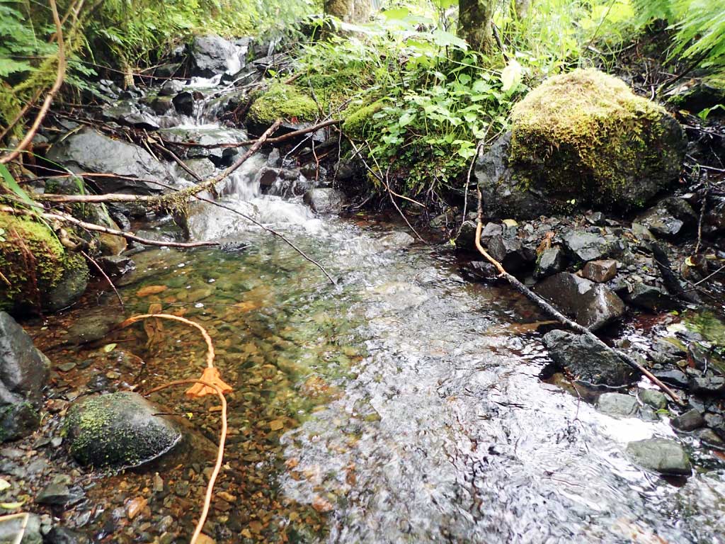
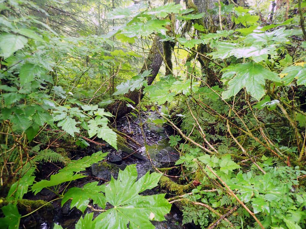
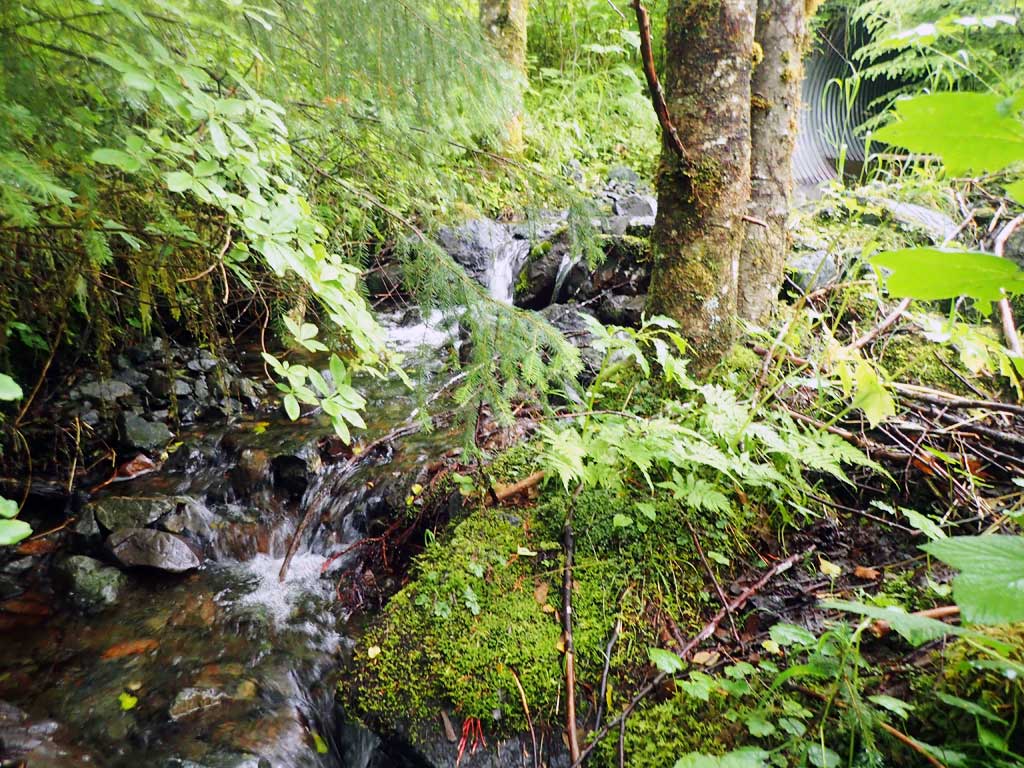
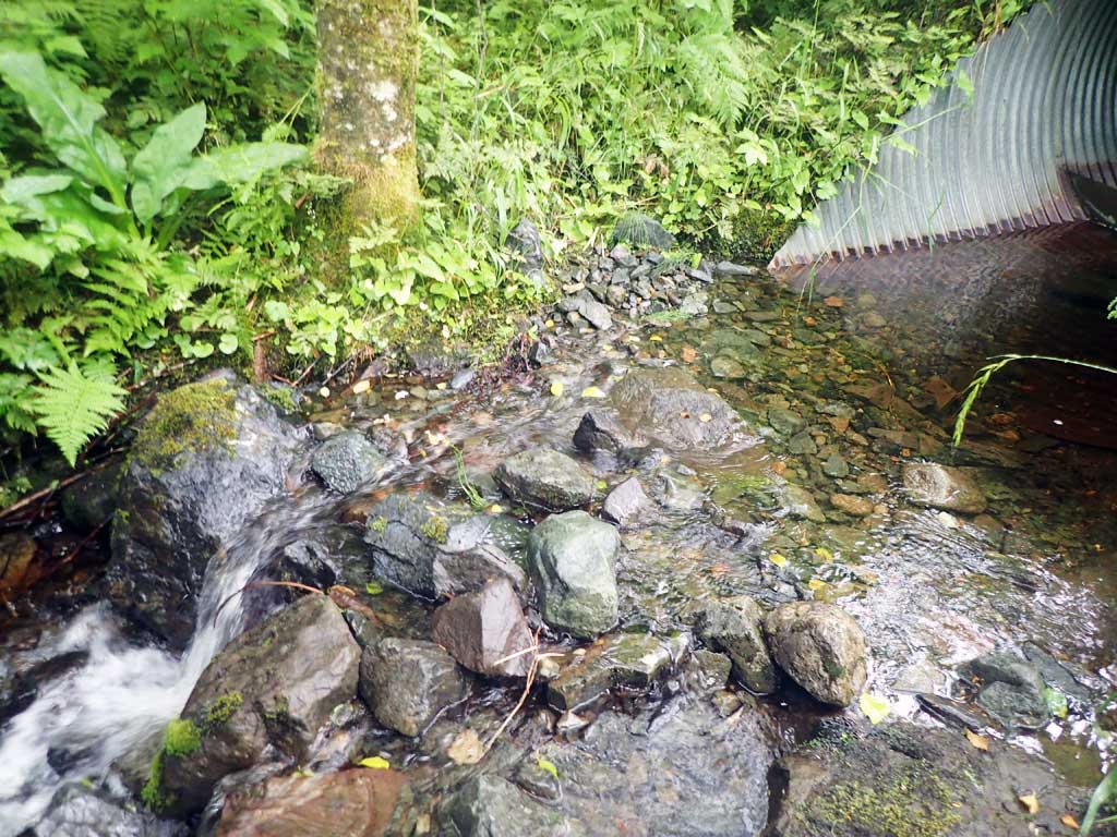
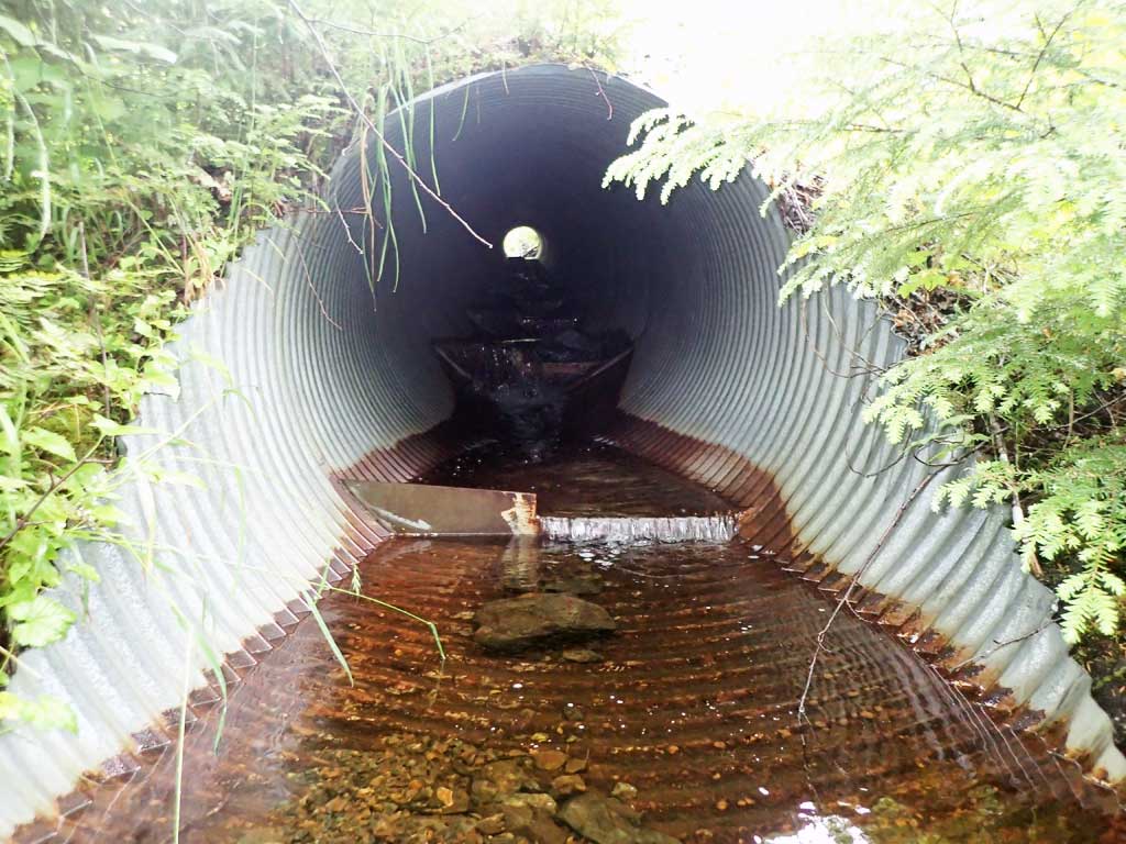
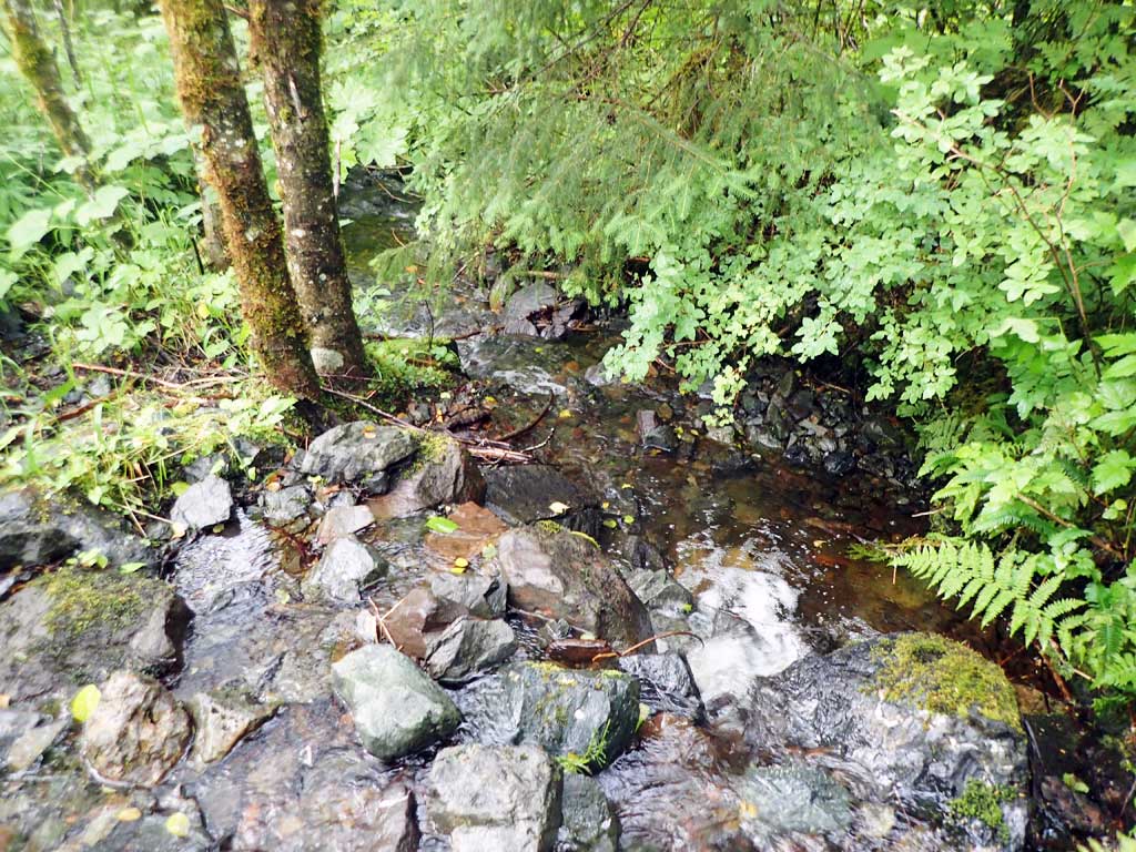
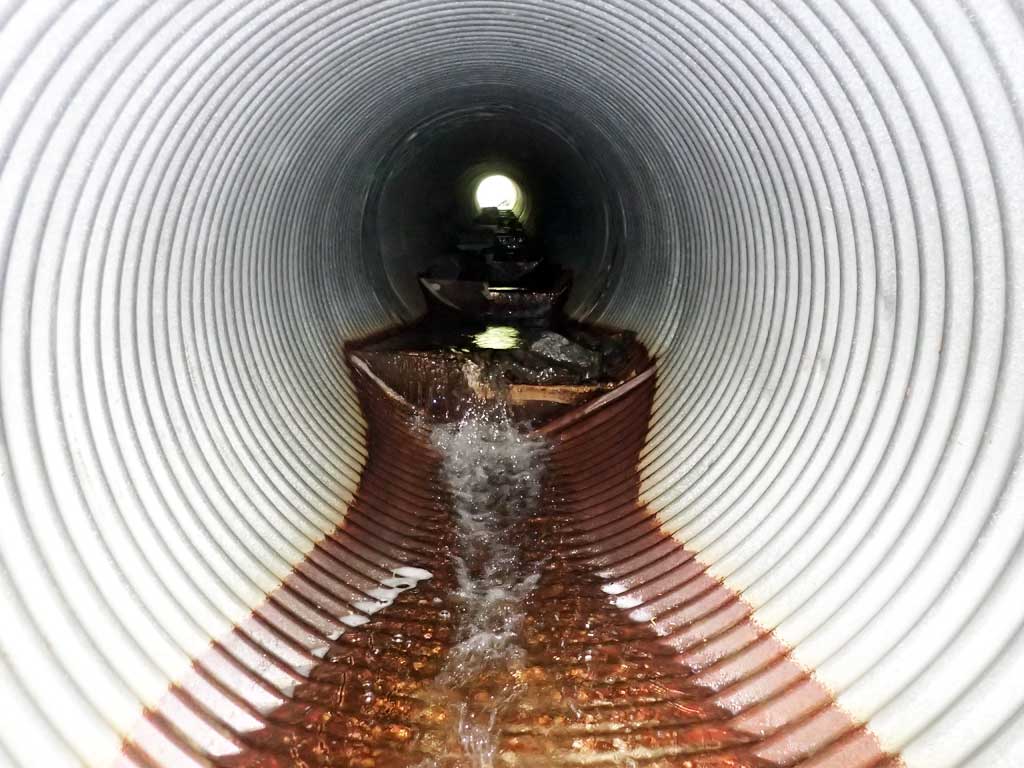
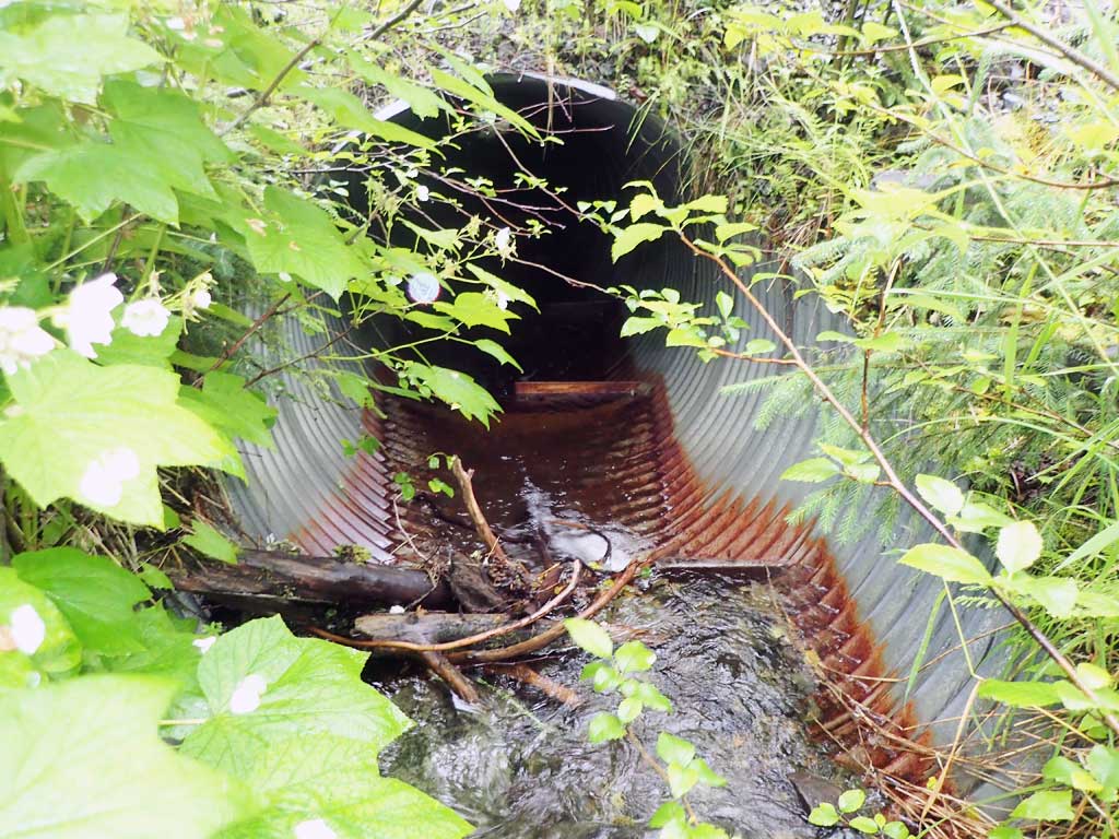
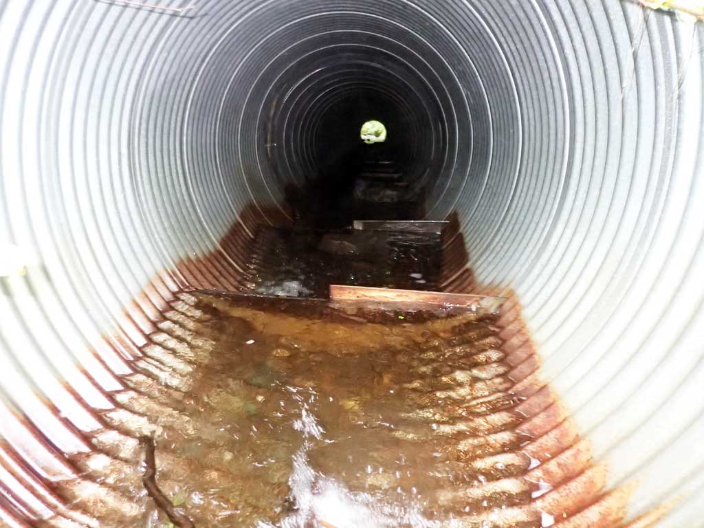
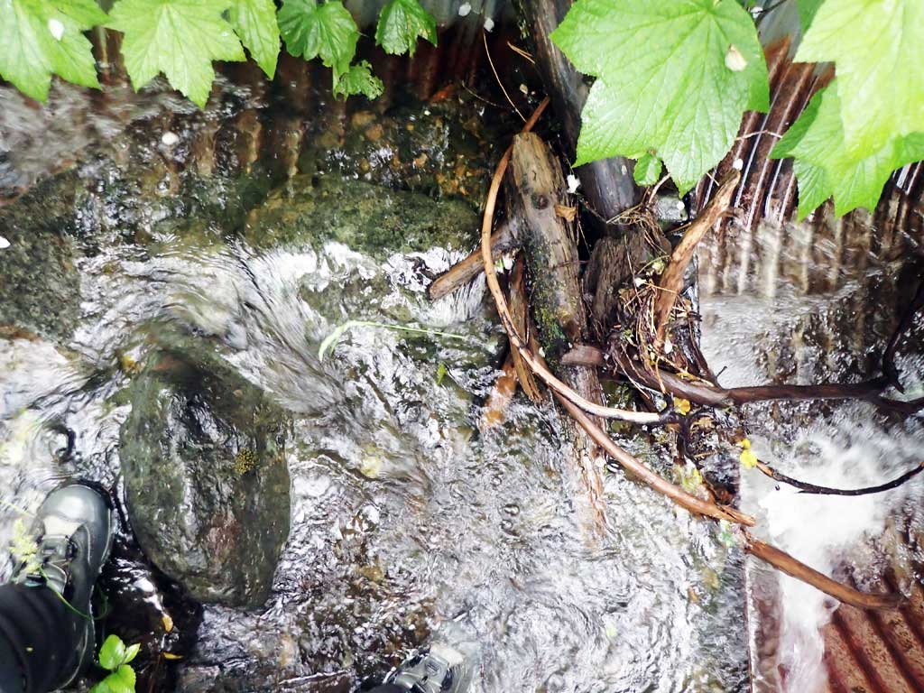
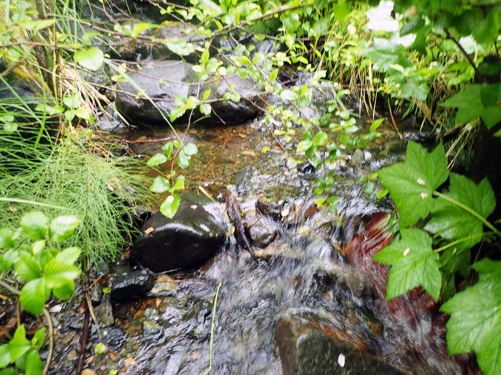
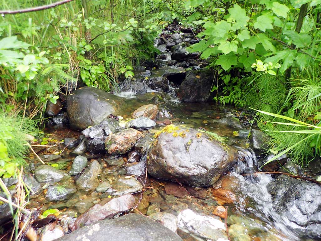
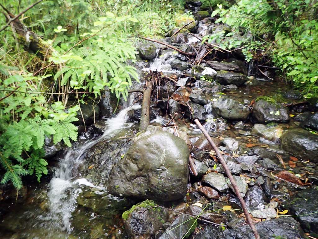
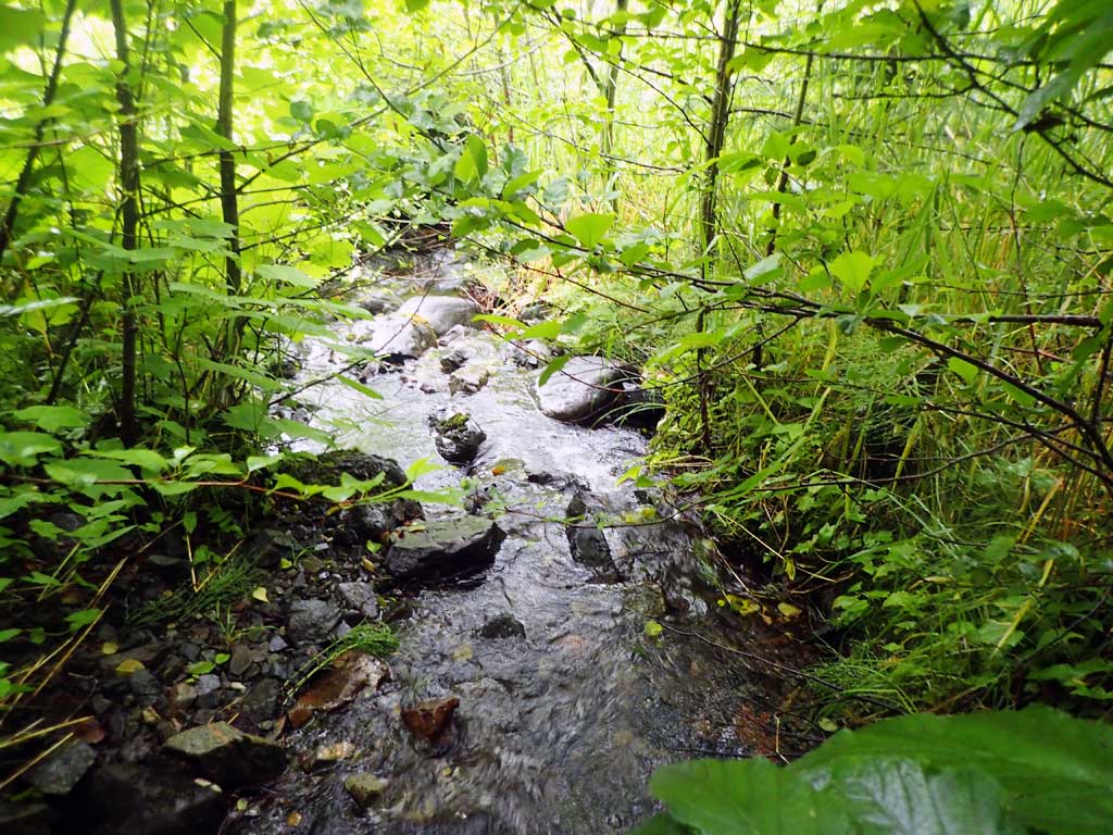
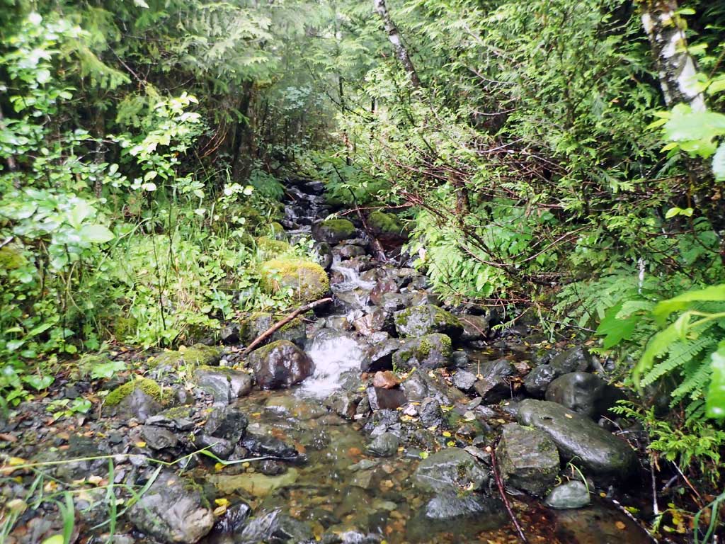
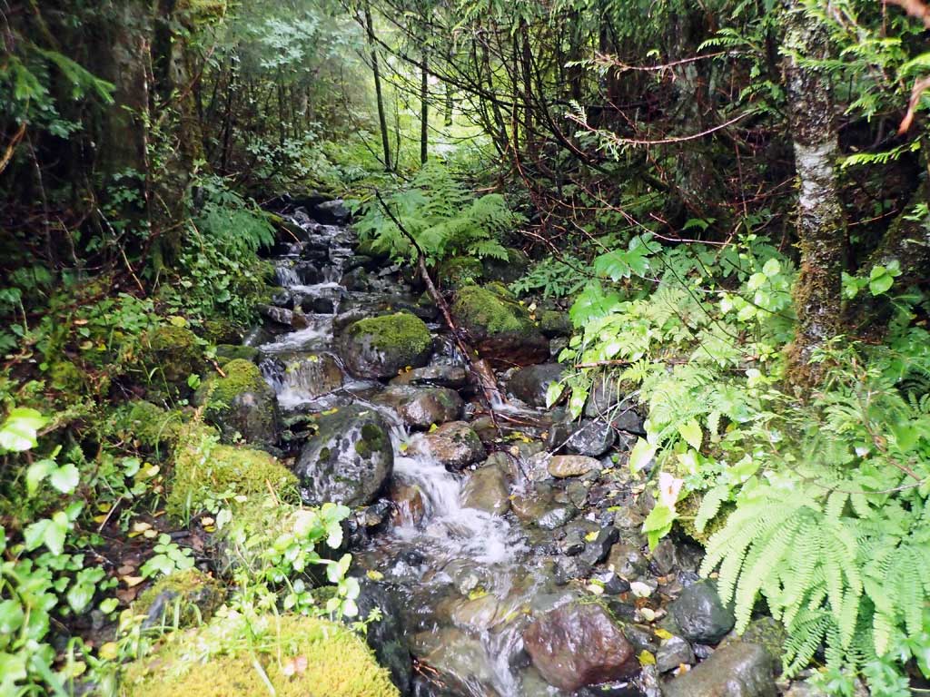
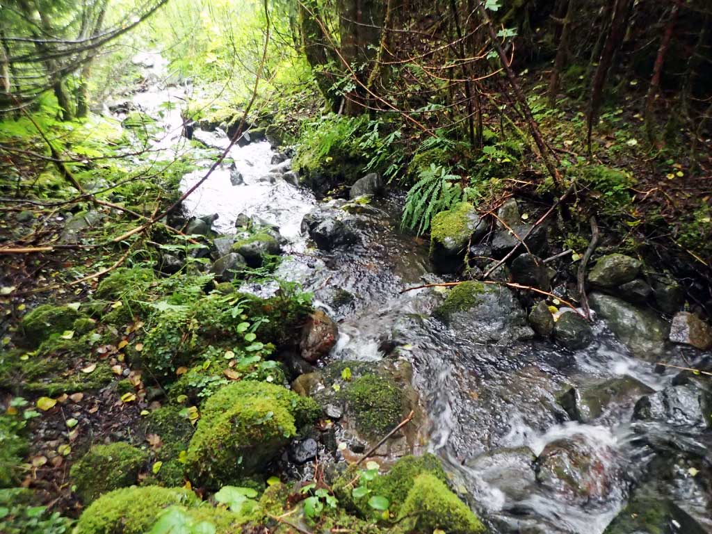
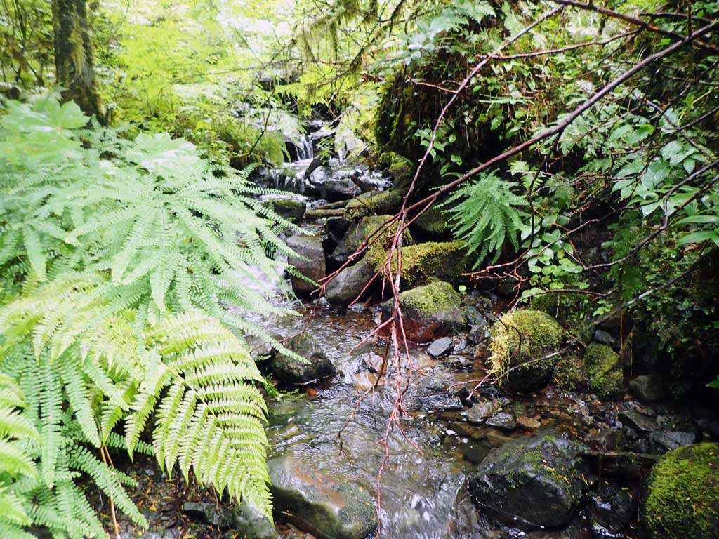
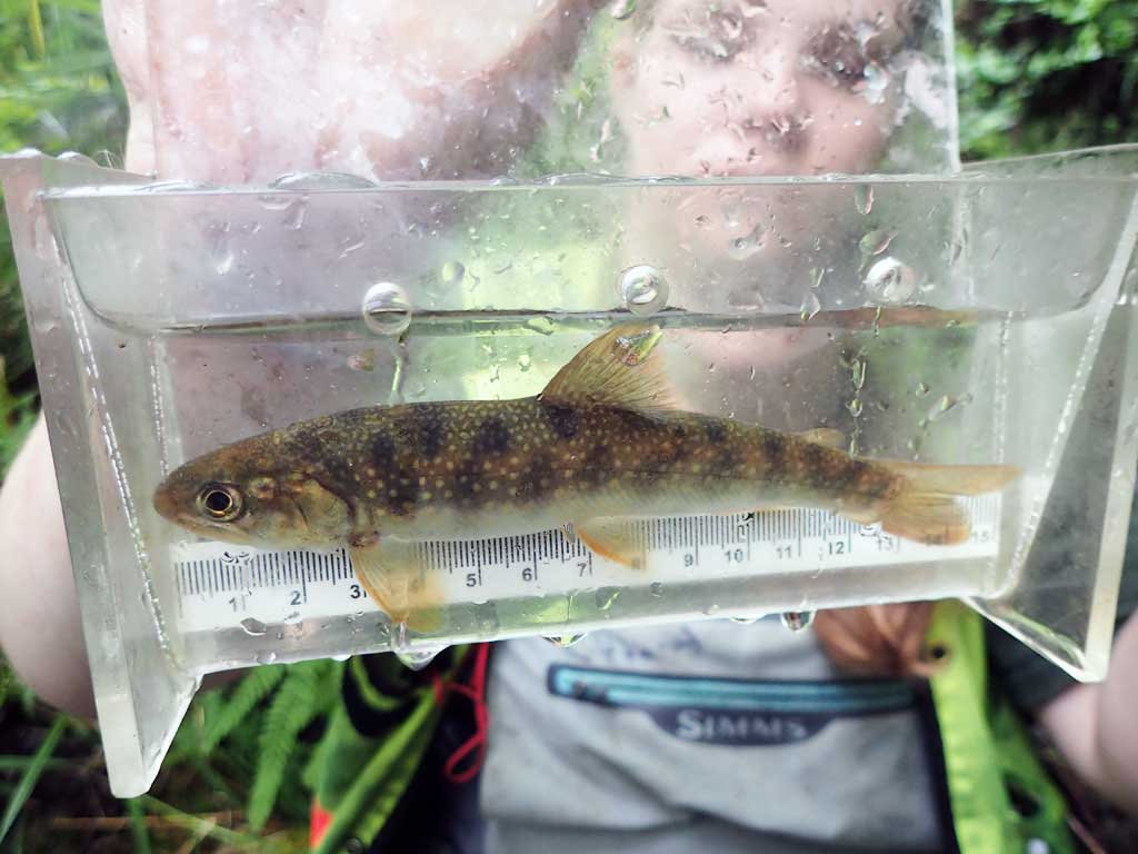
Comments: Upstream has cascades and step pools, two dollys captured upstream, downstream is shallow, steep riffle, shallow pools, twisty channel. Baffles.
Culvert Measurements
| ID: 1 | Structure Type: Circular pipe (Corrugated steel) | Fish Passage Rating: | |||||||||||||||||||||||||||||||||||||||||
|
|
|
|||||||||||||||||||||||||||||||||||||||||
Comments: Too brushy for stream gradient. Large woody debris caught at inlet baffle. Top of culvert length 107'. |
|||||||||||||||||||||||||||||||||||||||||||
Stream Measurements
|
|
| Stream Width Type | Distance From Crossing (ft) |
Stream Width (ft) |
|---|---|---|
| Upstream ordinary high water | 30.0 | 4.20 |
| Upstream ordinary high water | 50.0 | 4.00 |
| Upstream ordinary high water | 70.0 | 3.50 |
Elevations
| Locator ID | Culvert Number |
River Distance (ft)1 |
Distance From Crossing (ft)2 |
Relative Elevation (ft) |
|---|---|---|---|---|
| Road Elev | 121.05 | |||
| D/S Grade Ctrl (Thalweg) | 0.00 | 90.84 | ||
| D/S Water Surface Elev | 0.00 | 91.16 | ||
| D/S Thalweg | 17.00 | 91.32 | ||
| D/S Water Surface Elev | 17.00 | 92.69 | ||
| D/S Tailcrest or 1st Thalweg | 26.00 | 94.97 | ||
| D/S Water Surface Elev | 26.00 | 95.38 | ||
| D/S Water Surface Elev | 32.00 | 95.62 | ||
| Outlet Invert (in pool, on substrate) | 32.00 | 94.74 | ||
| Outlet Culvert Top | 42.00 | 100.00 | ||
| Inlet Culvert Top | 149.00 | 112.04 | ||
| Inlet Culvert Invert | 159.00 | 108.78 | ||
| U/S Water Surface Elev | 159.00 | 109.02 | ||
| U/S Grade Ctrl (Thalweg) | 166.00 | 109.44 | ||
| U/S Water Surface Elev | 166.00 | 109.70 | ||
| U/S Water Surface Elev (too brushy beyond) | 178.00 | 110.05 | ||
| U/S Grade Ctrl (Thalweg) | 178.00 | 110.73 |
Notes:
- River distance is measured continuously throughout the survey reach along the thalweg of the stream.
- Measured from each end of the crossing along the thalweg of the stream.
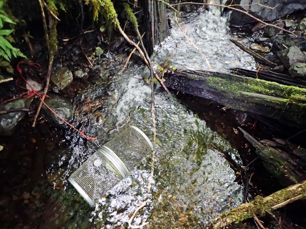
Fish Sampling Efforts
| Gear Type: Minnow Trap (A) | Trap Duration(h): 2.1 | |
| Comments: two dollys 20ft upstream | ||
| Gear Type: Minnow Trap (B) | Trap Duration(h): 1.9 | |
| Comments: no fish | ||
Fish Observations
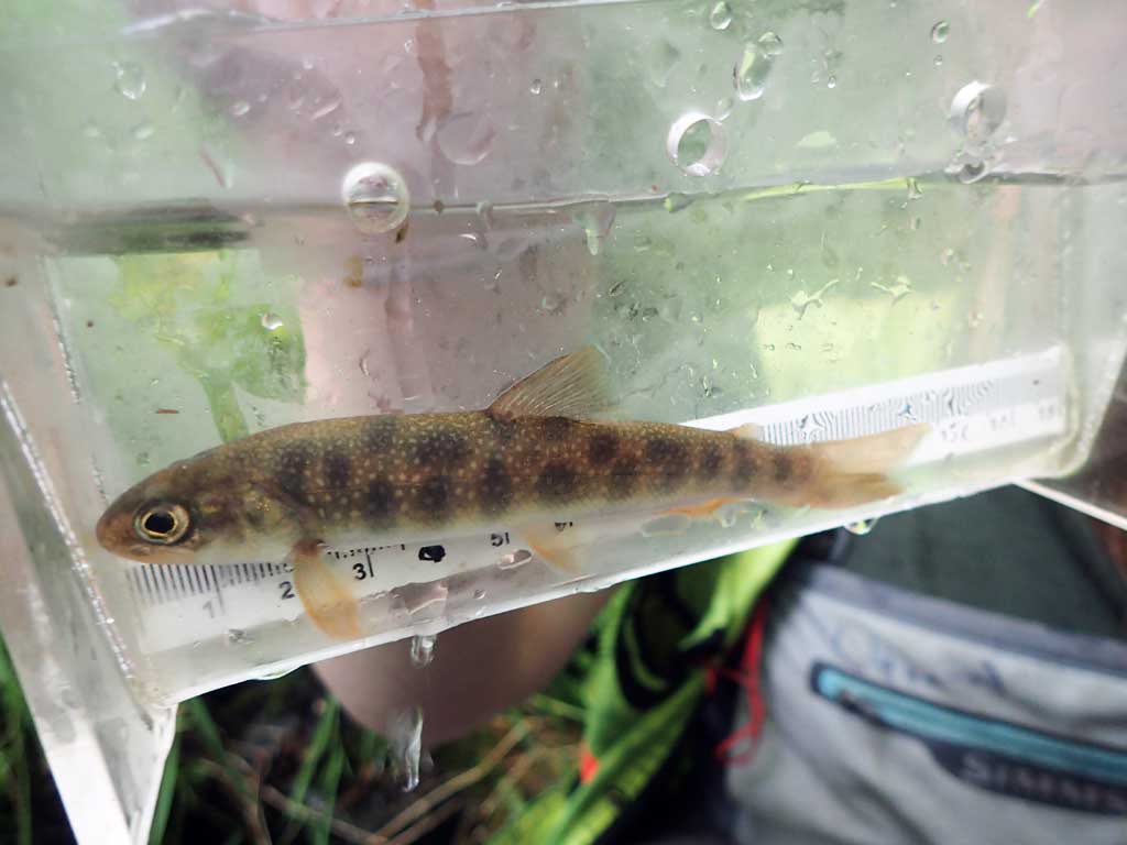
| Species: juvenile Dolly Varden | Life History: Unknown | ||
| Total Fish Observed: 2 | Fish Measured: 2 | Fork Lengths (mm) Min: 120 Max: 145 Mean: 132 | |
| Collected/Observed by Gear Type: Upstream Minnow Trap (2) | |||
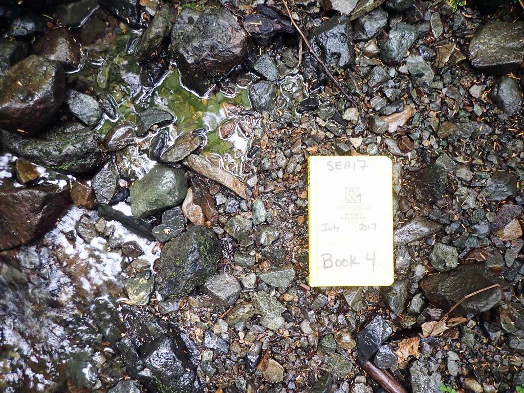
Photos

Questions or comments about this report can be directed to dfg.dsf.webmaster@alaska.gov