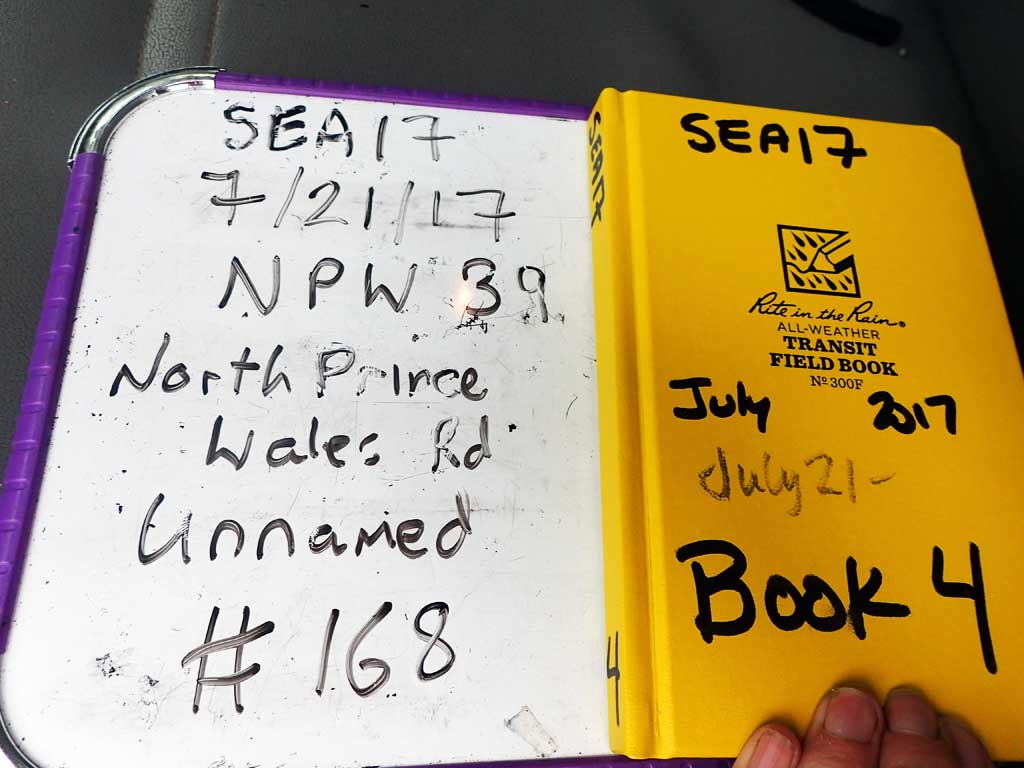
Fish Passage Site 10103605
Coordinates (dec. deg.): 55.70954°, -132.91017°
Legal Description: C071S082E18
Region: Southeast
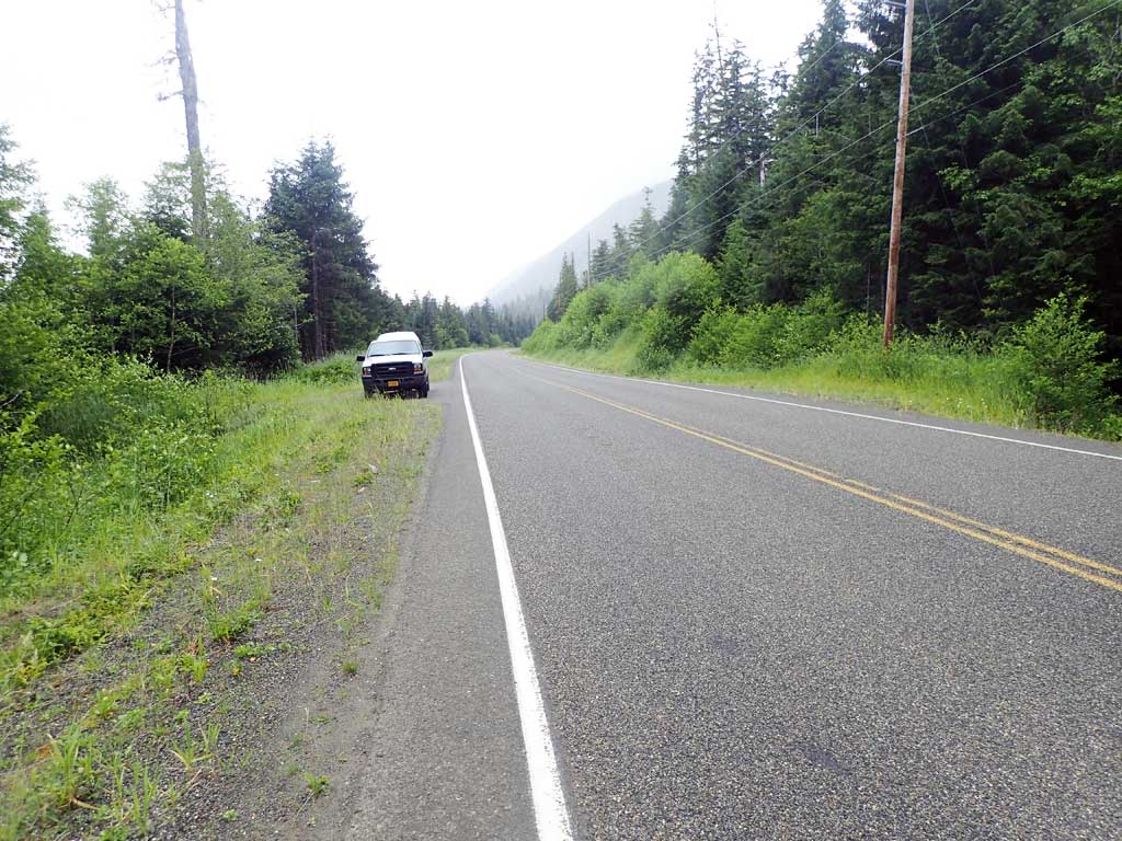
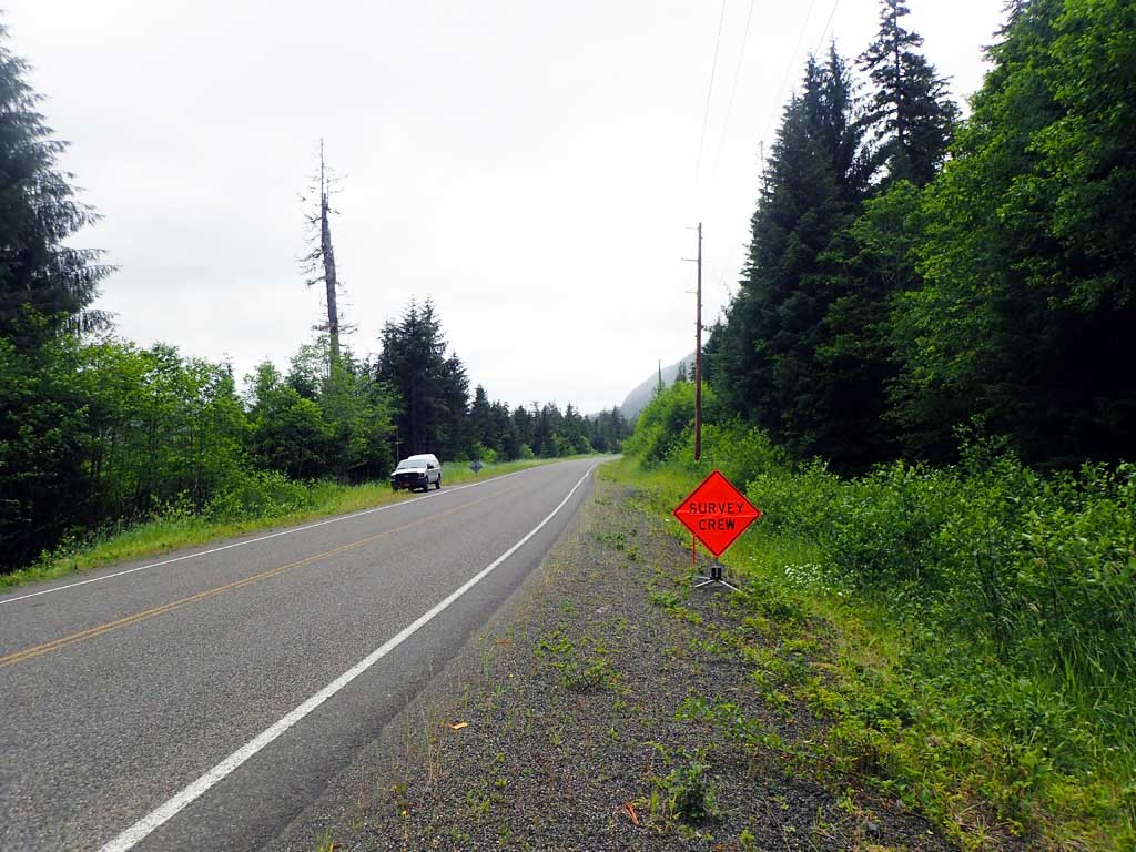
Road Name: North Prince of Wales Road
Datum: NAD83
Quad Name / ITM: Craig C-3
AWC Stream #:
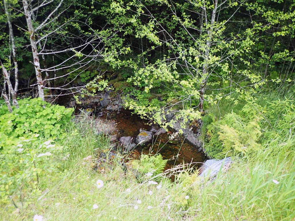
Stream Name: Unnamed
Elevation:
Site Comments: None
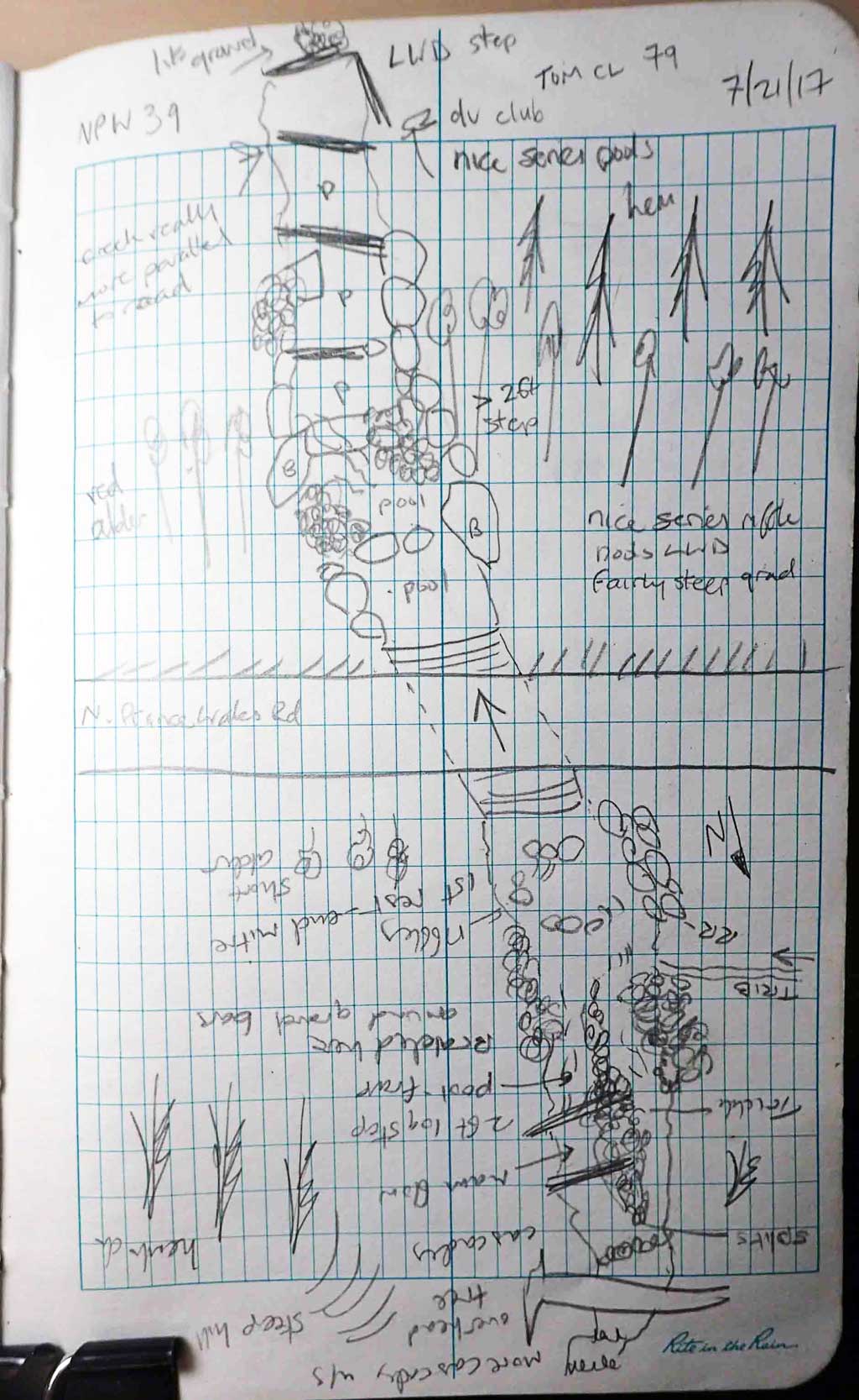
Survey SEA17-NPW39
Observers: Elizabeth Flory, Kelly Petty
Overall Fish Passage Rating:
Tidal: No
Backwatered: No
Step Pools: Yes
Construction Year:
Site Observations:
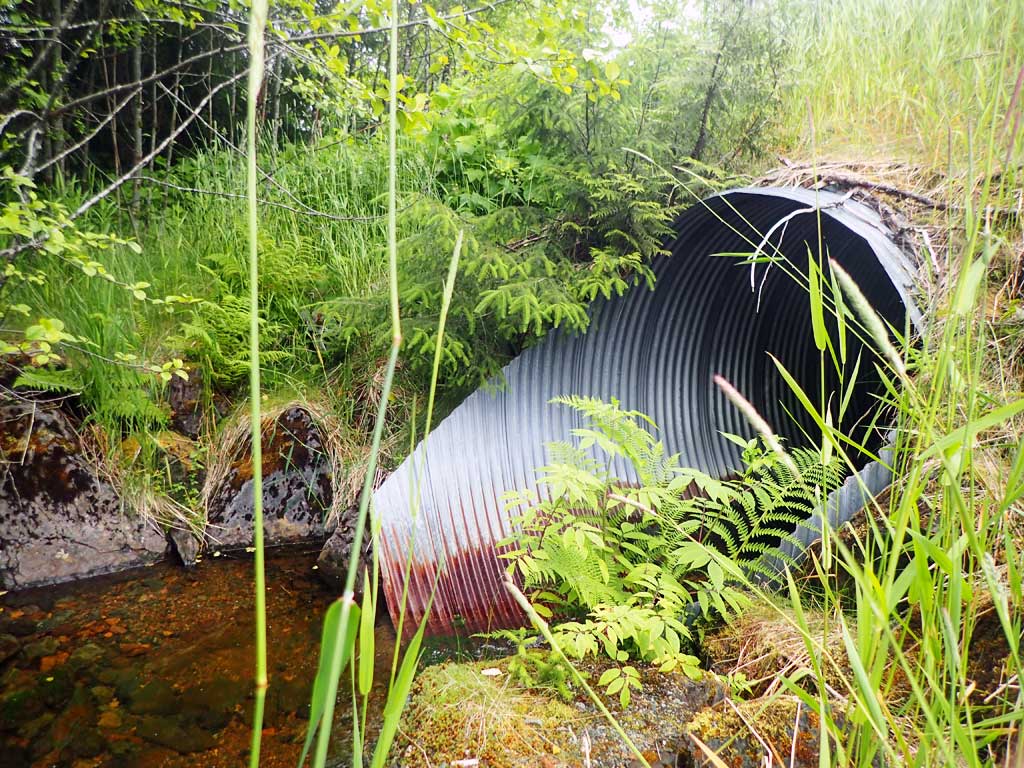
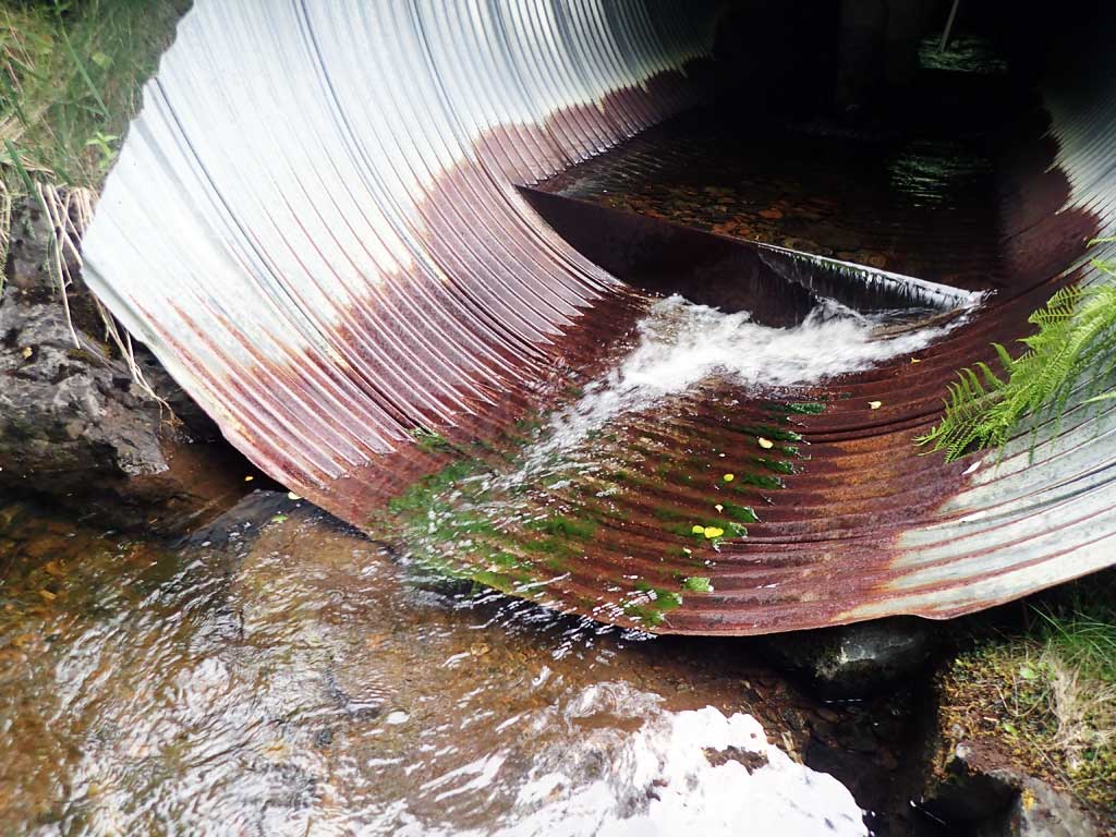
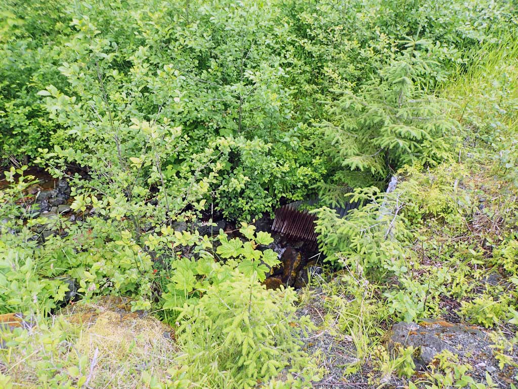
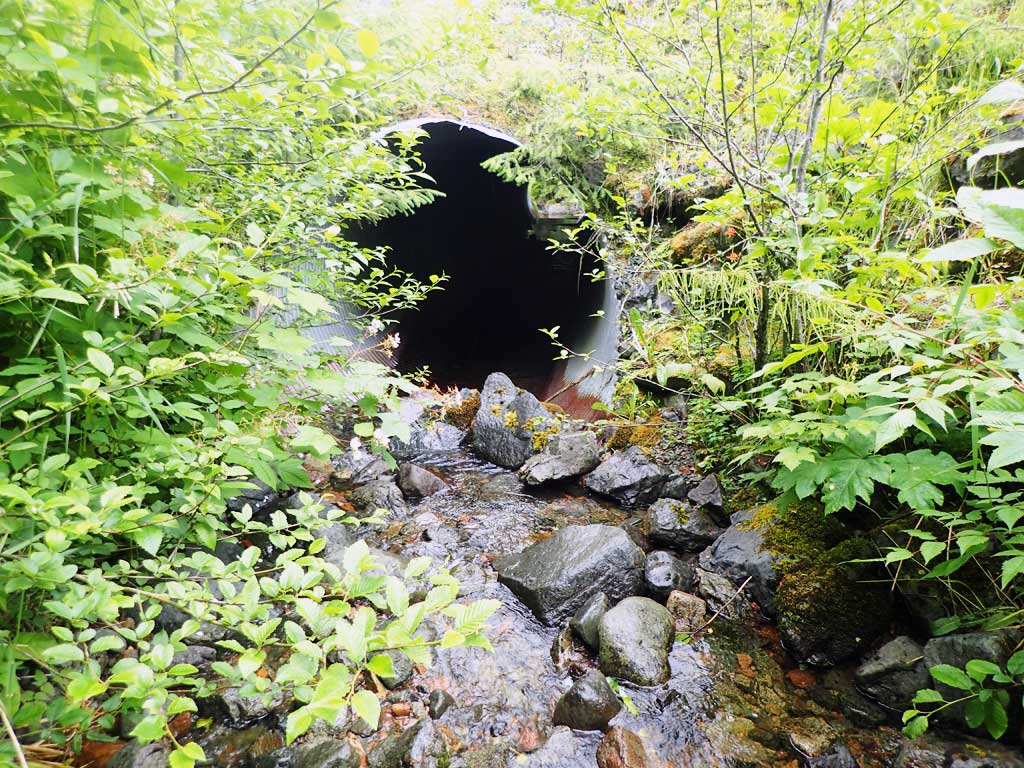
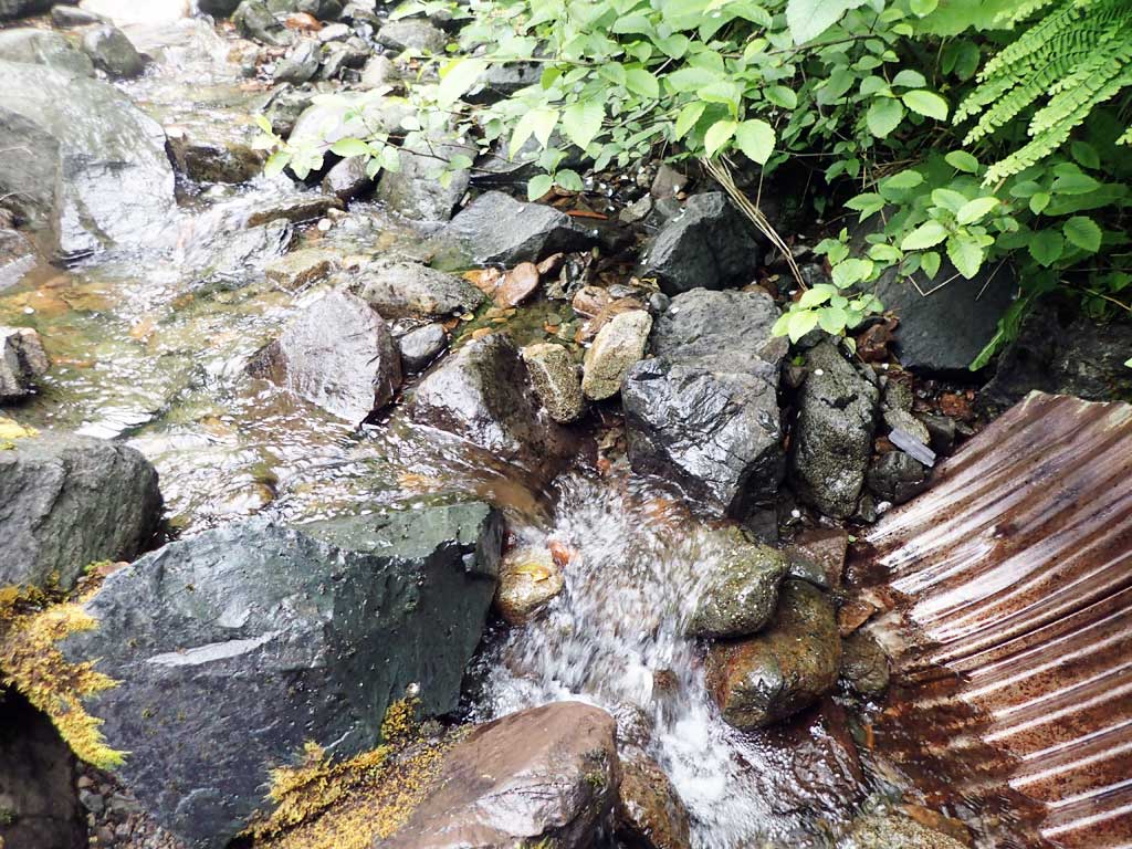
- Outfall height red
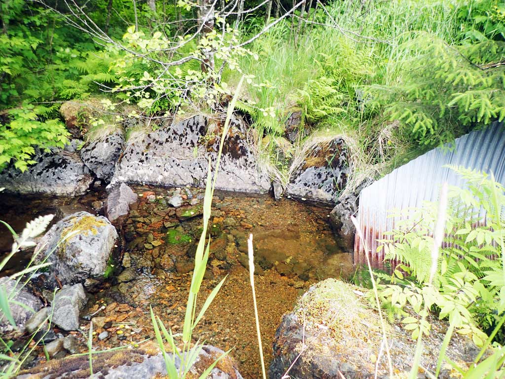
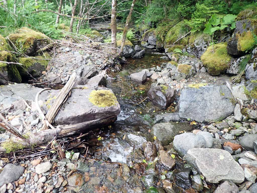
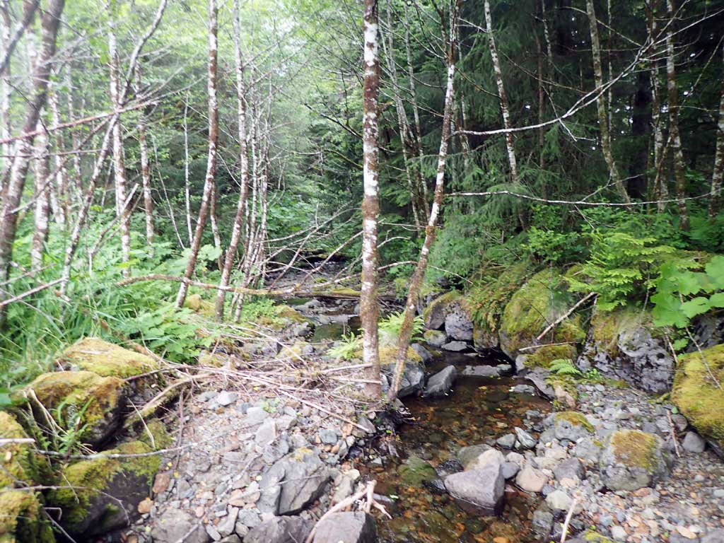
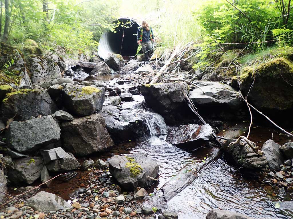
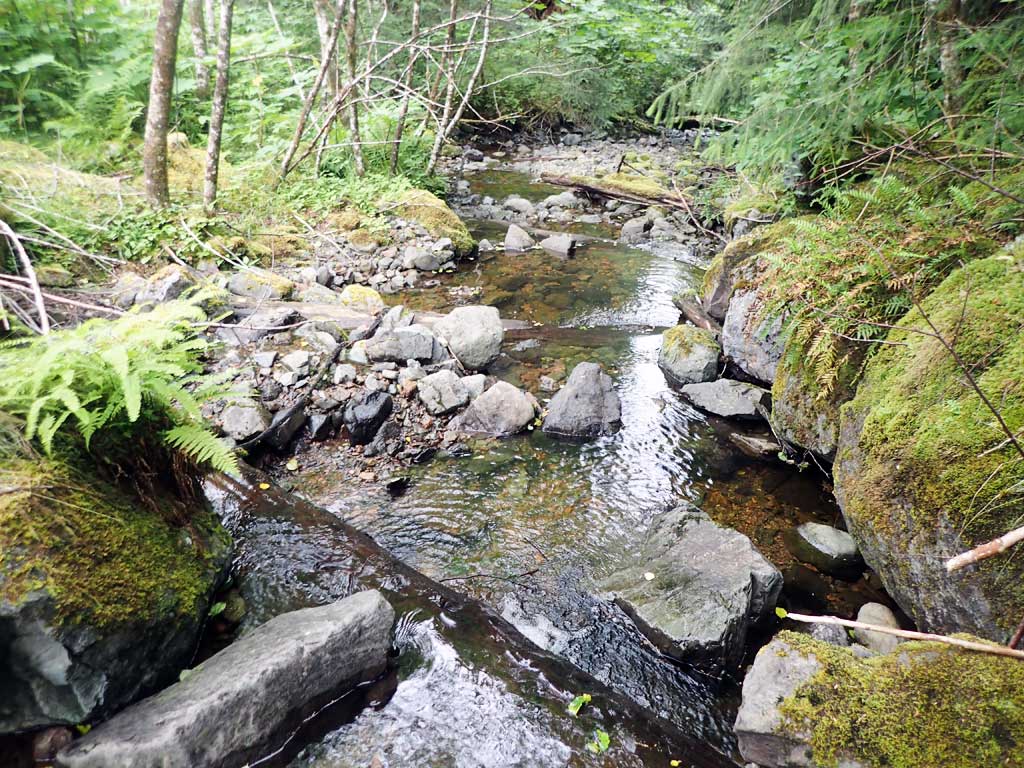
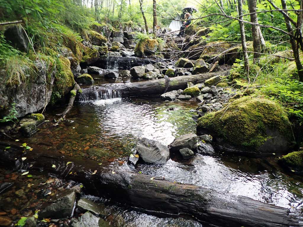
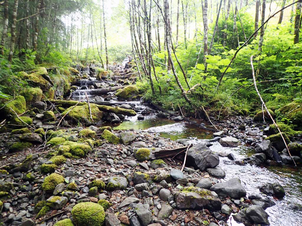
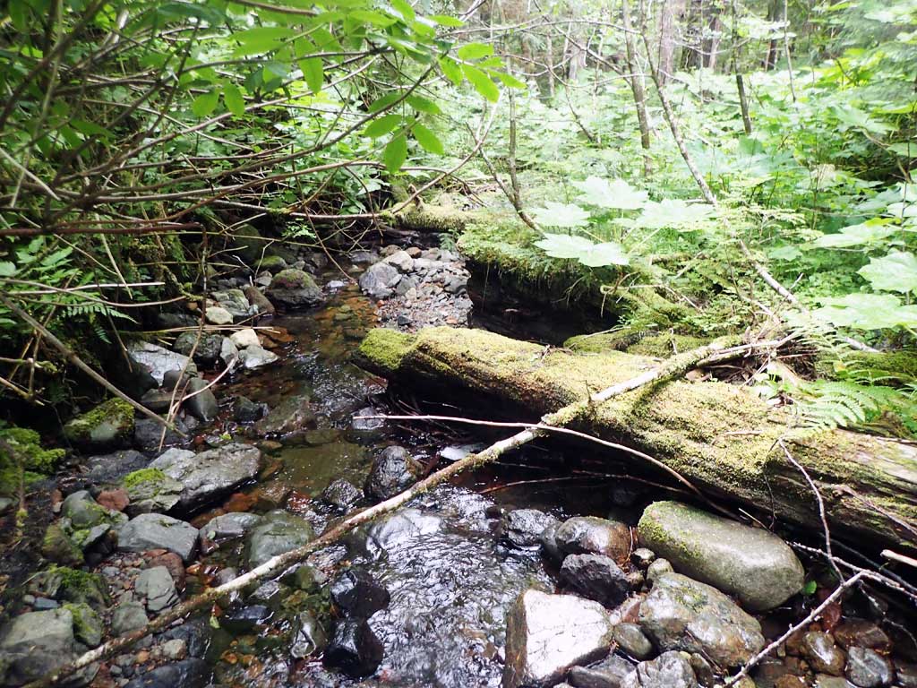
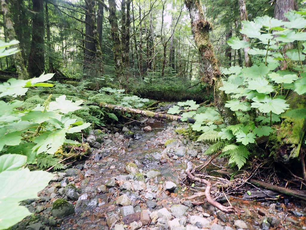
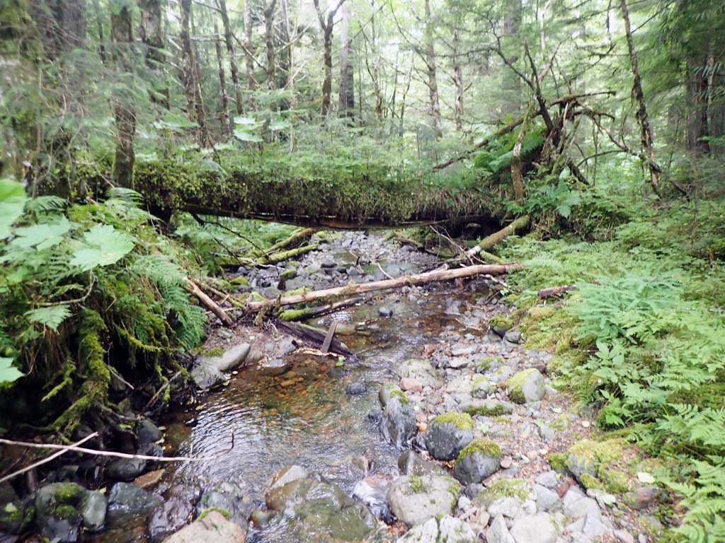
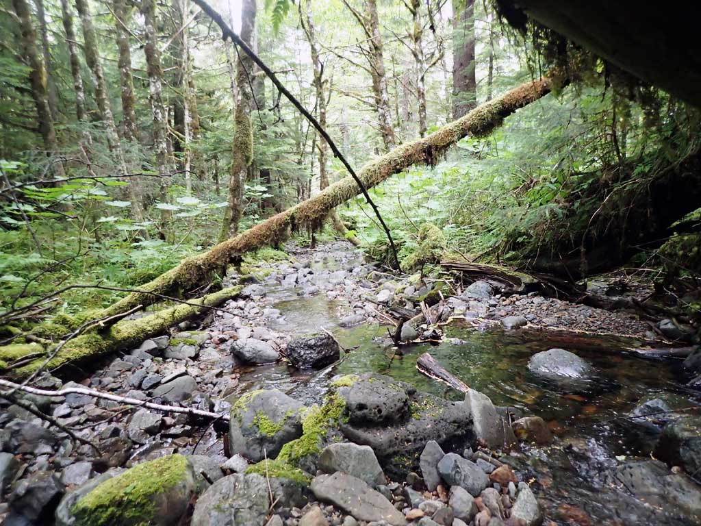
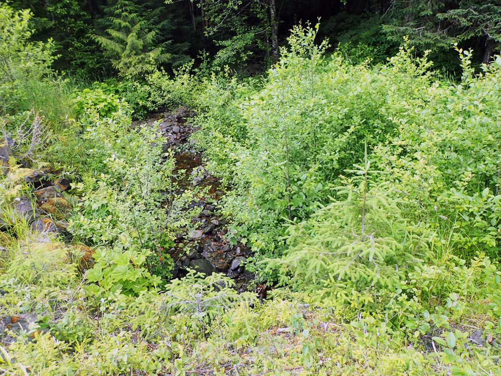
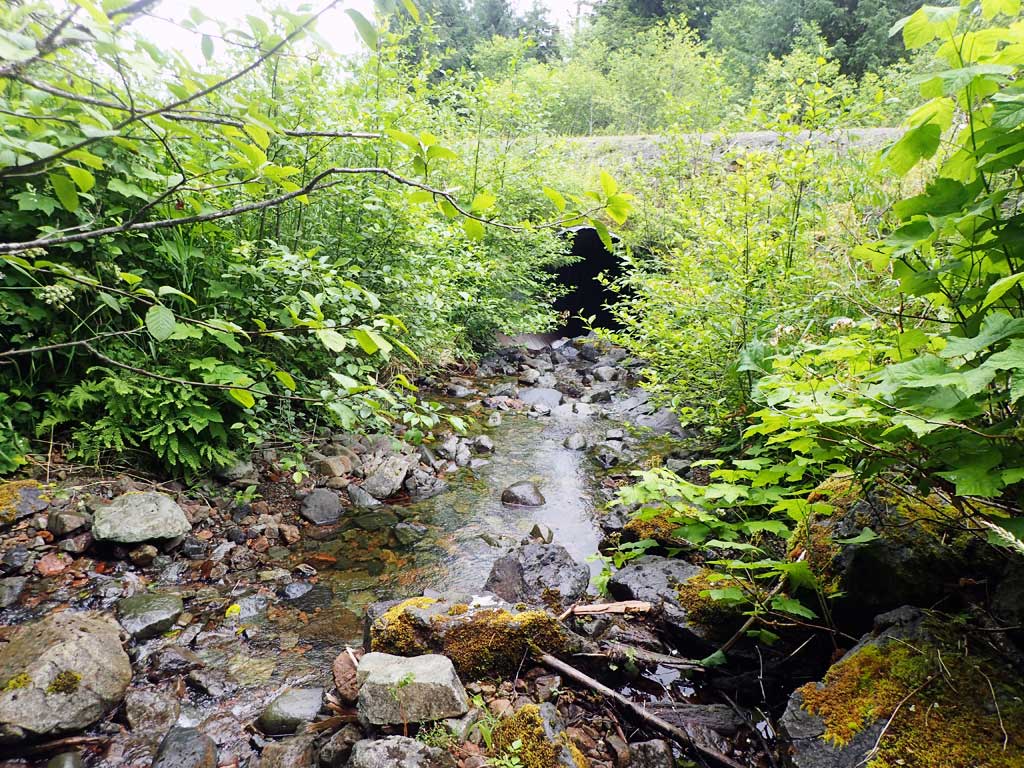
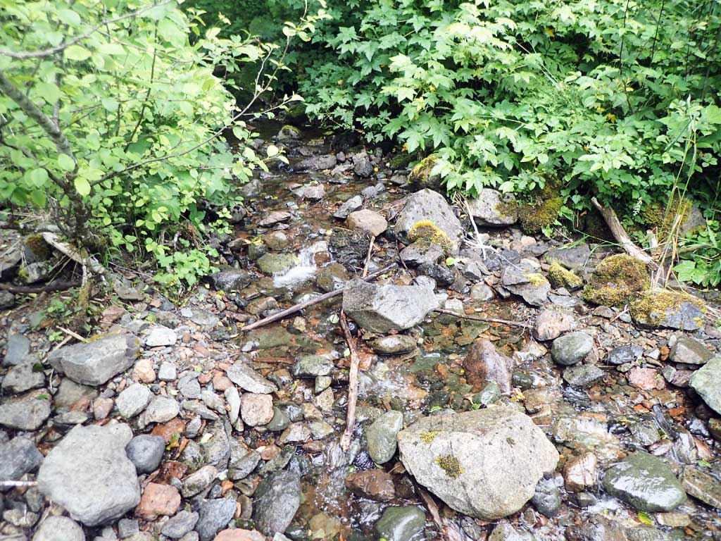
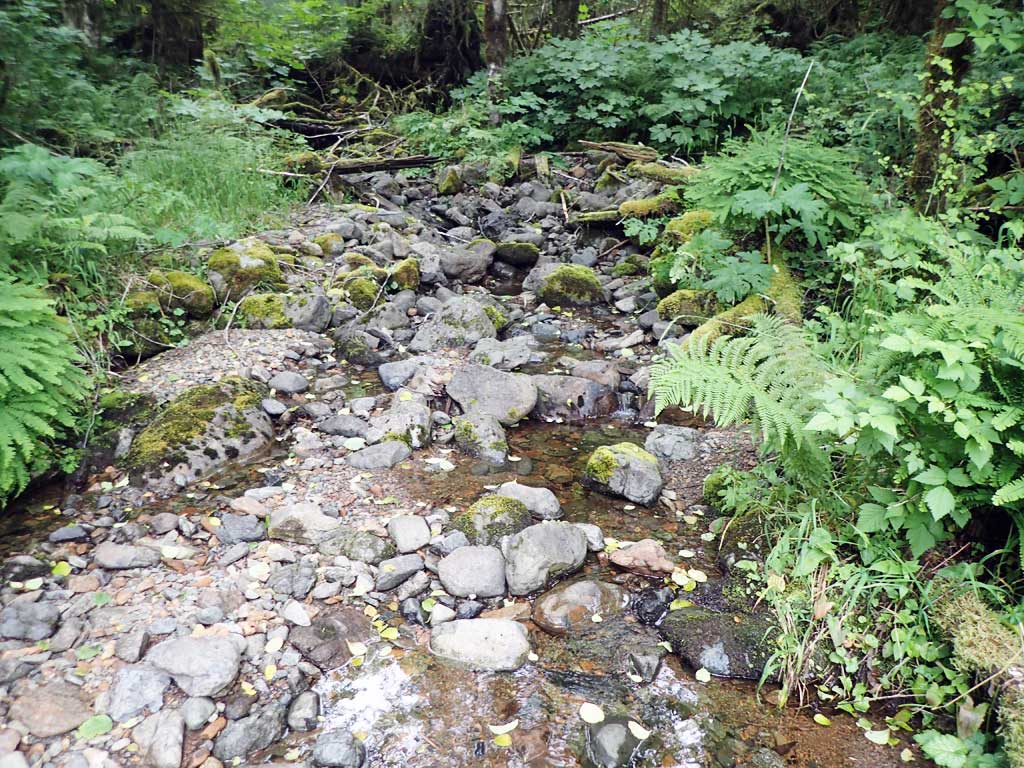
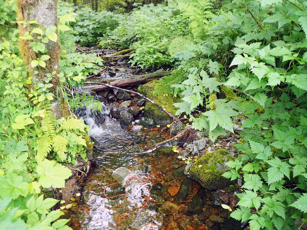
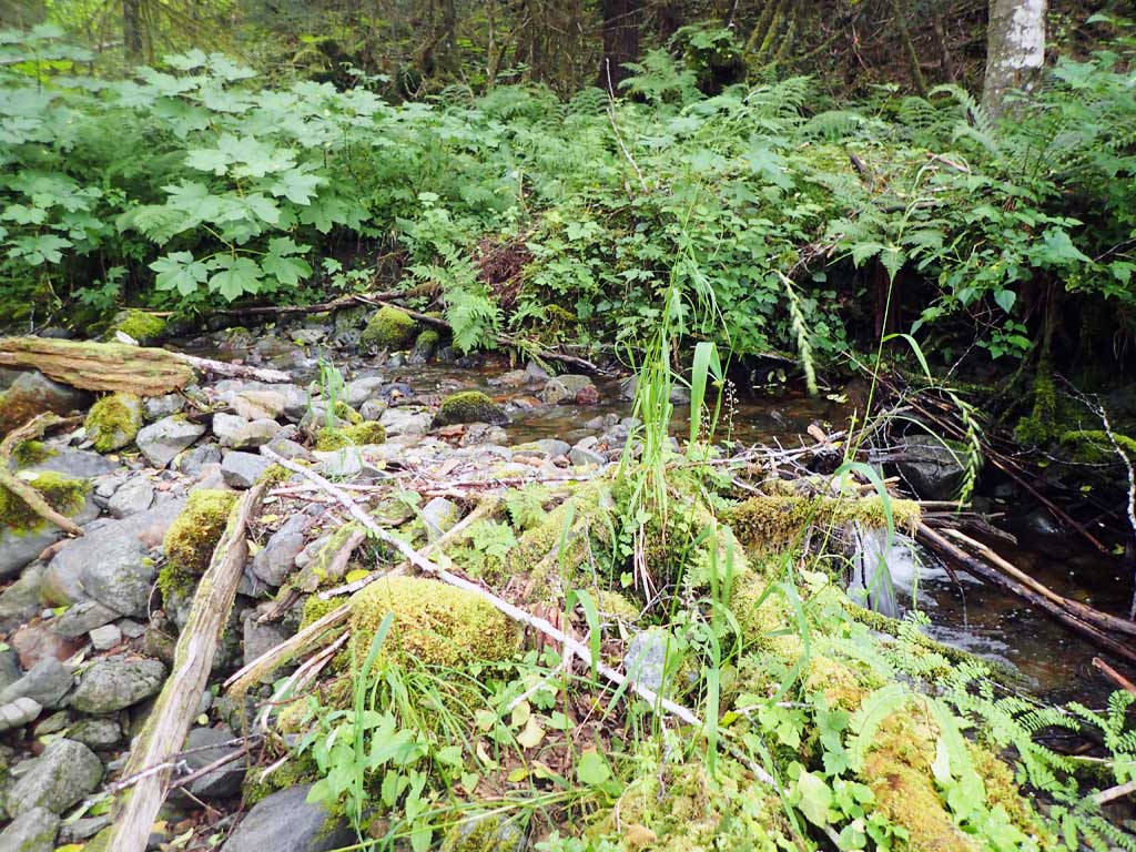
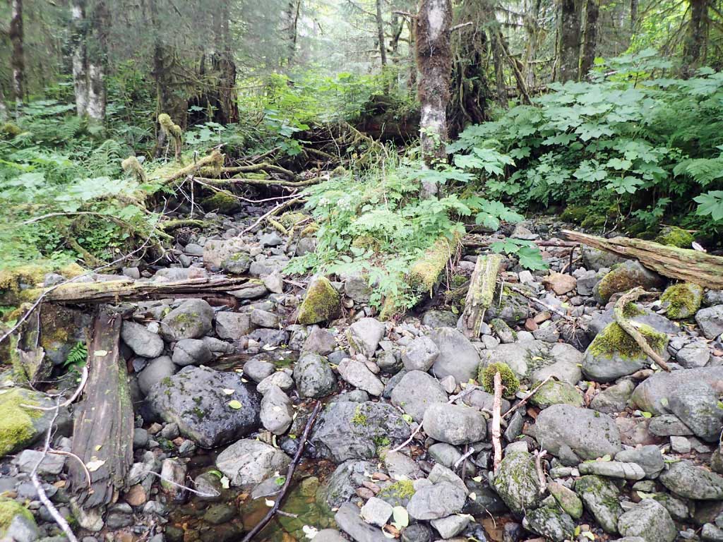
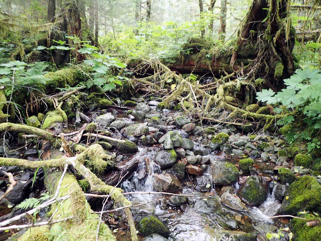
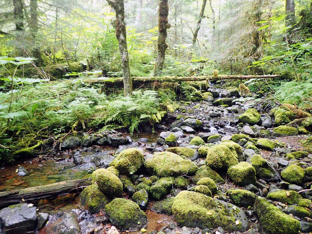
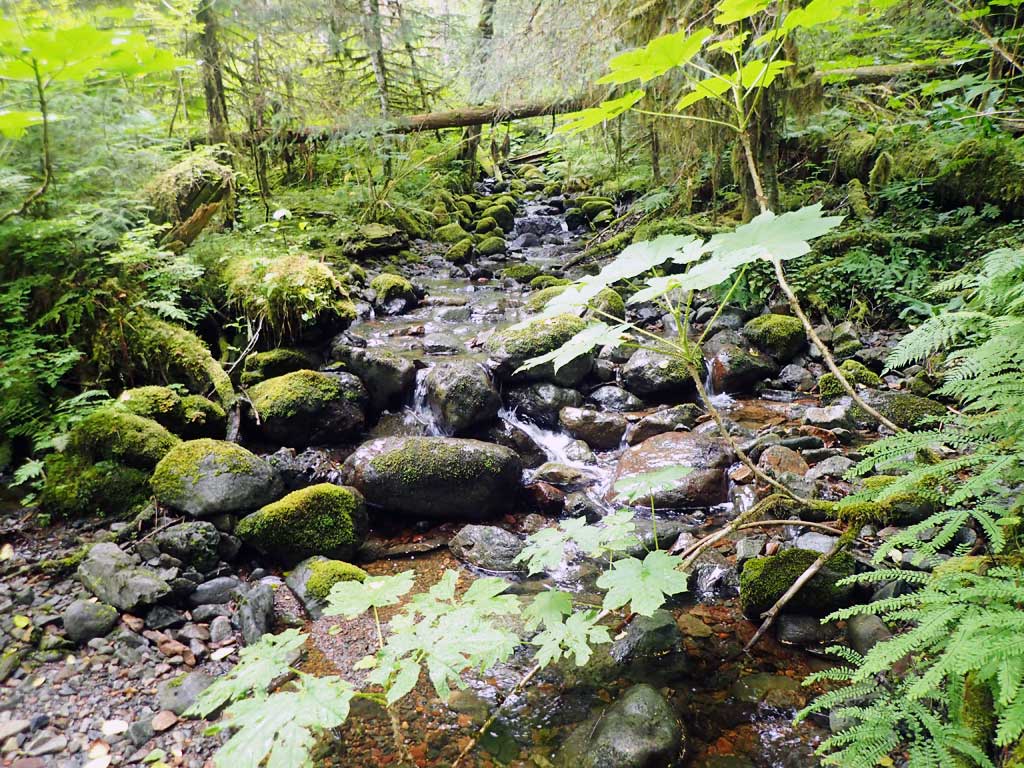
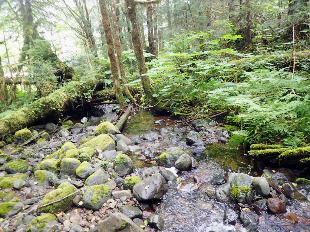
Comments: Upstream splits around gravel bar, cascades steps, large woody debris froms 2ft high step, steeper upstream than downstream. Downstream parallels road and has constructed pools downstream (logs)
Culvert Measurements
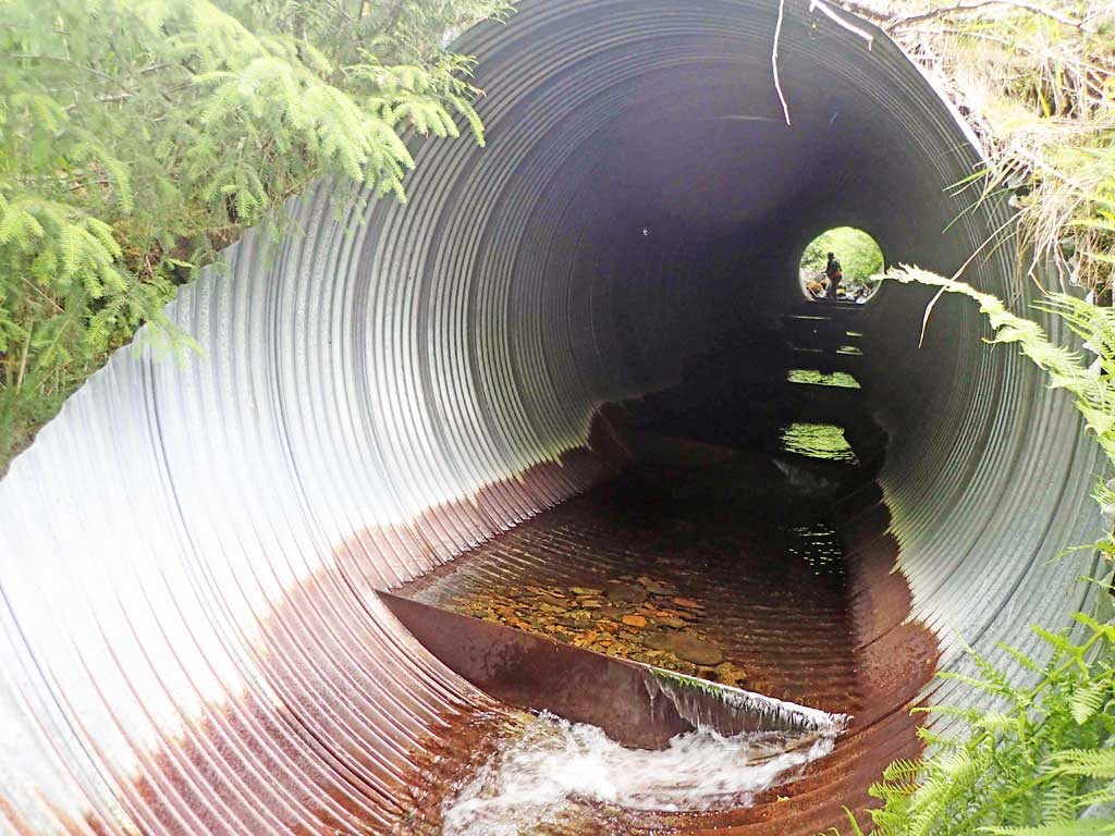
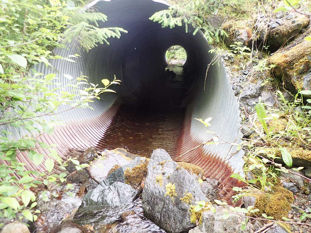
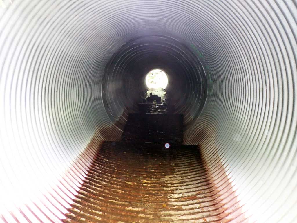
| ID: 1 | Structure Type: Circular pipe (Corrugated steel) | Fish Passage Rating: | |||||||||||||||||||||||||||||||||||||||||
|
|
|
|||||||||||||||||||||||||||||||||||||||||
Comments: Outfall height calculated from top of baffle at end of pipe. Top of pipe length 79'. |
|||||||||||||||||||||||||||||||||||||||||||
Culvert Observations:
|
|||||||||||||||||||||||||||||||||||||||||||
Stream Measurements
|
|
| Stream Width Type | Distance From Crossing (ft) |
Stream Width (ft) |
|---|---|---|
| Upstream ordinary high water | 50.0 | 3.80 |
| Upstream ordinary high water | 70.0 | 3.50 |
| Upstream ordinary high water | 90.0 | 4.00 |
Elevations
| Locator ID | Culvert Number |
River Distance (ft)1 |
Distance From Crossing (ft)2 |
Relative Elevation (ft) |
|---|---|---|---|---|
| Road Elev | 109.63 | |||
| D/S Grade Ctrl (Thalweg) | 0.00 | 84.85 | ||
| D/S Water Surface Elev | 0.00 | 85.15 | ||
| D/S Grade Ctrl (Thalweg) (top of step) | 43.00 | 90.15 | ||
| D/S Water Surface Elev | 43.00 | 90.46 | ||
| D/S Water Surface Elev (boulder) | 57.00 | 91.97 | ||
| D/S Tailcrest or 1st Thalweg | 57.00 | 91.16 | ||
| D/S Water Surface Elev | 60.00 | 91.98 | ||
| Max Pool Depth | 60.00 | 90.69 | ||
| D/S Water Surface Elev | 65.00 | 92.02 | ||
| Outlet Invert (6ft mitre on pipe) | 65.00 | 91.72 | ||
| D/S Grade Ctrl (Thalweg) (top of baffle) | 71.00 | 92.96 | ||
| D/S Water Surface Elev | 71.00 | 93.01 | ||
| Outlet Culvert Top | 71.00 | 100.00 | ||
| Inlet Culvert Top | 150.00 | 105.05 | ||
| Inlet Culvert Invert (9ft mitre on substrate) | 159.00 | 98.74 | ||
| U/S Water Surface Elev | 159.00 | 99.16 | ||
| U/S Grade Ctrl (Thalweg) (first resting) | 165.00 | 99.42 | ||
| U/S Water Surface Elev | 165.00 | 99.61 | ||
| U/S Grade Ctrl (Thalweg) (at tributary) | 181.00 | 100.22 | ||
| U/S Water Surface Elev | 181.00 | 100.65 | ||
| U/S Grade Ctrl (Thalweg) | 194.00 | 101.81 | ||
| U/S Water Surface Elev | 194.00 | 102.22 | ||
| U/S Water Surface Elev | 206.00 | 102.71 | ||
| U/S Grade Ctrl (Thalweg) | 206.00 | 102.19 | ||
| U/S Grade Ctrl (Thalweg) | 216.00 | 104.71 | ||
| U/S Water Surface Elev | 216.00 | 104.94 | ||
| U/S Grade Ctrl (Thalweg) | 243.00 | 106.23 | ||
| U/S Water Surface Elev | 243.00 | 107.03 |
Notes:
- River distance is measured continuously throughout the survey reach along the thalweg of the stream.
- Measured from each end of the crossing along the thalweg of the stream.
Fish Sampling Efforts
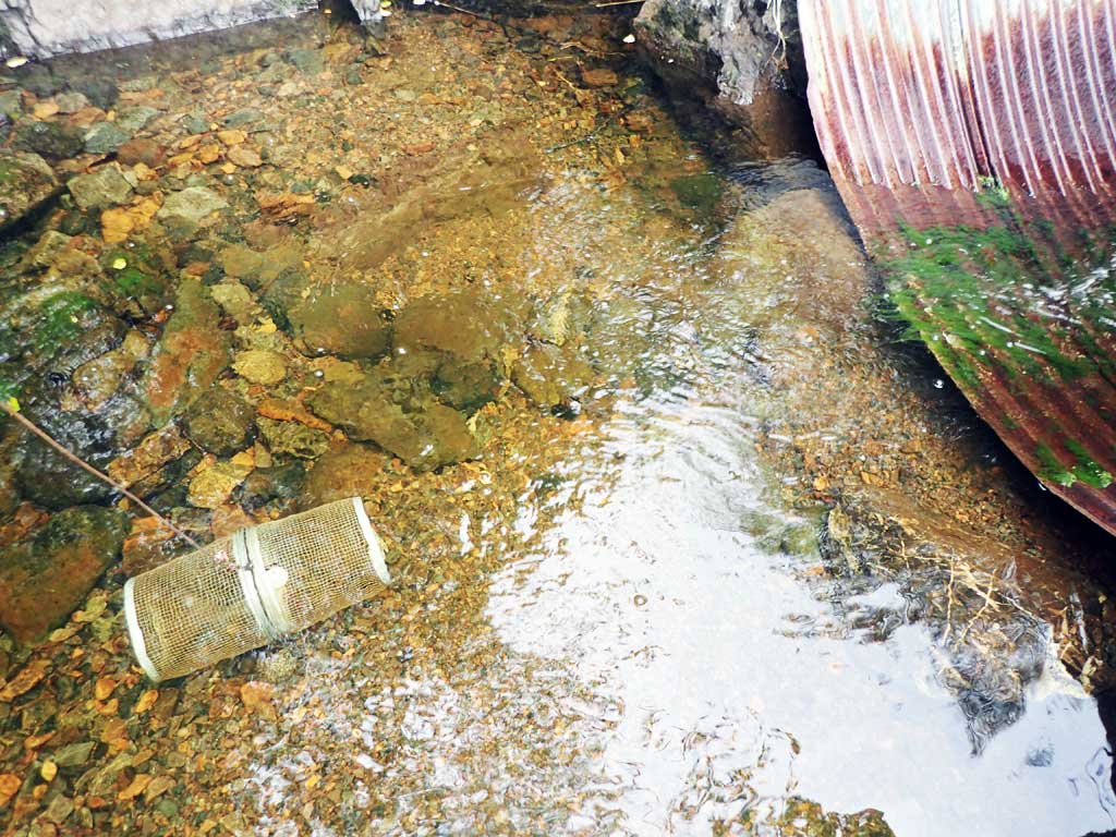
| Gear Type: Minnow Trap (A) | Trap Duration(h): 1.5 | |
| Comments: no fish | ||
| Gear Type: Minnow Trap (B) | Trap Duration(h): 1.5 | |
| Comments: no fish | ||
Fish Observations
No fish observations occurred during this survey.
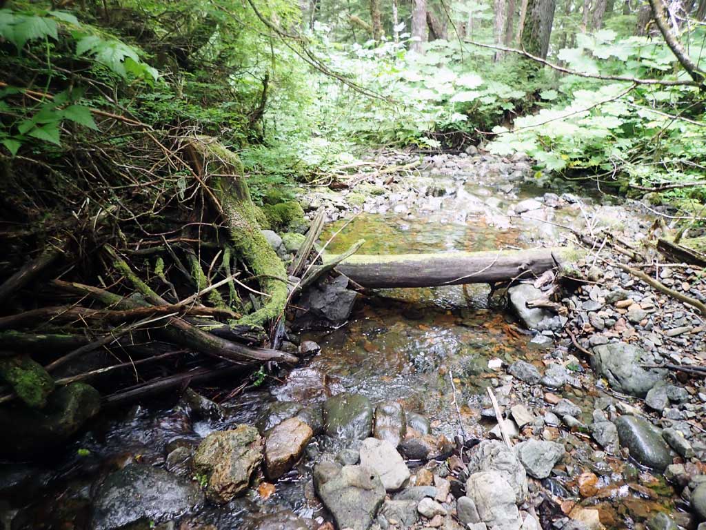
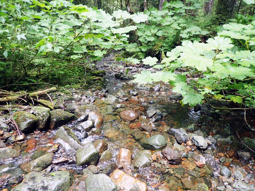
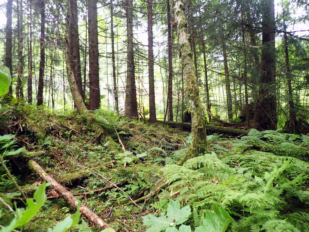
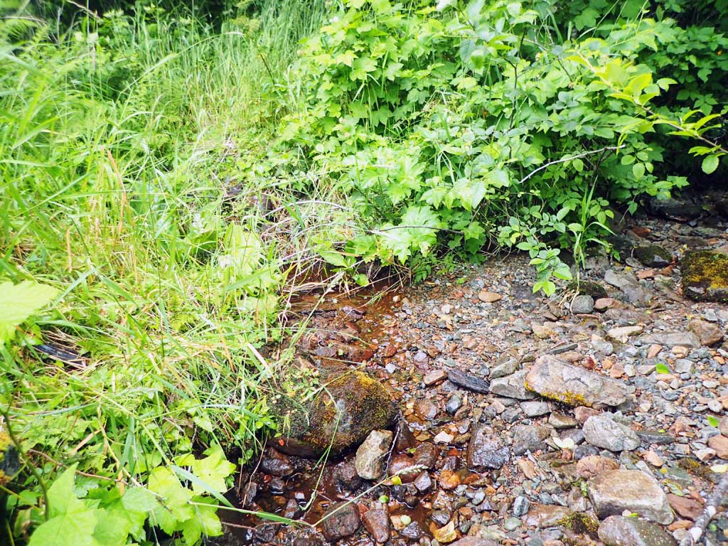
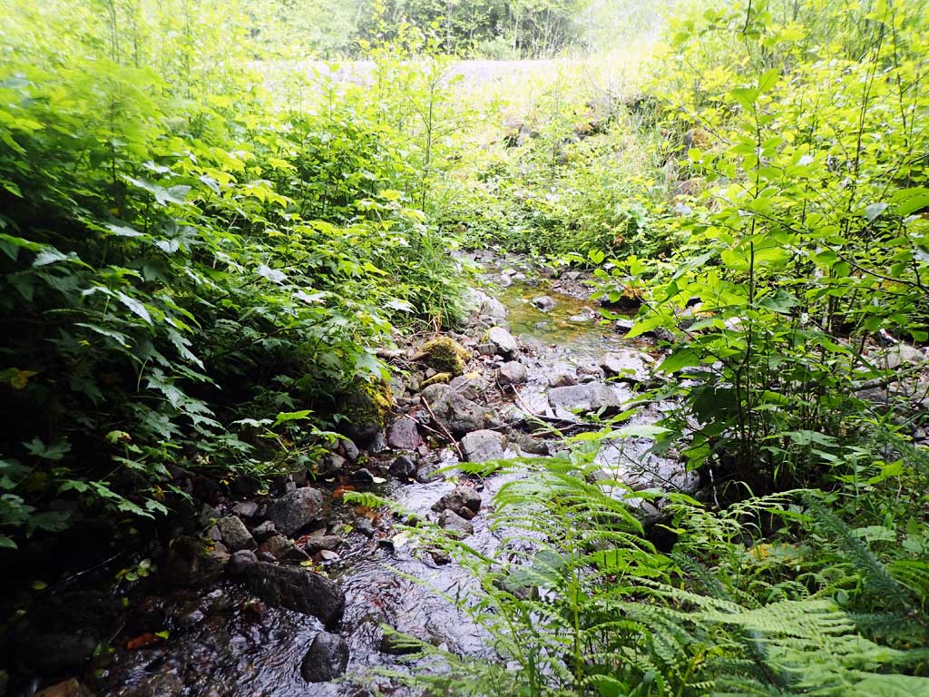
Photos

Questions or comments about this report can be directed to dfg.dsf.webmaster@alaska.gov