Fish Passage Site 10103601
Coordinates (dec. deg.): 55.72002°, -132.92995°
Legal Description: C071S081E13
Region: Southeast
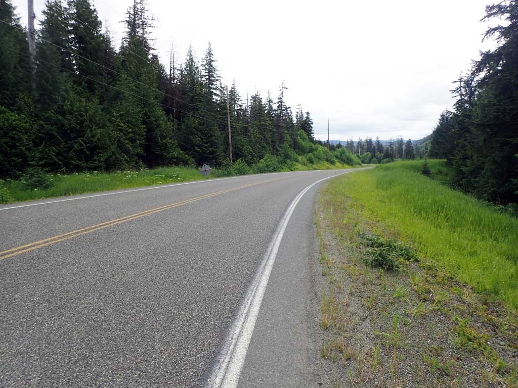
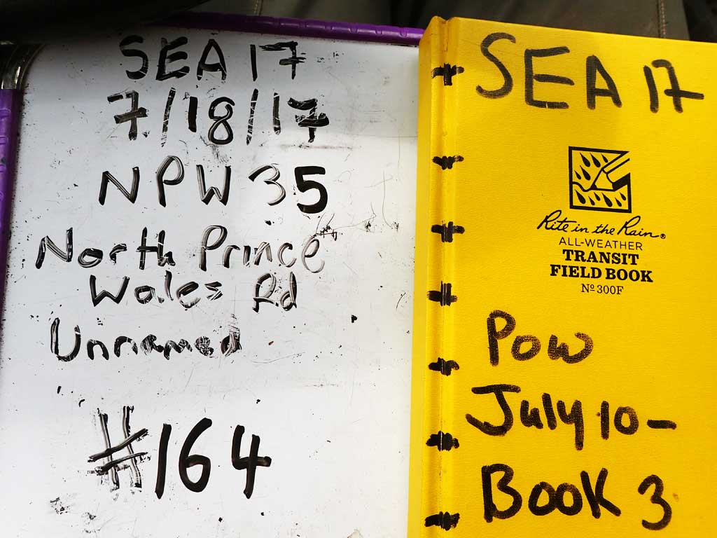
Road Name: North Prince of Wales Road
Datum: NAD83
Quad Name / ITM: Craig C-3
AWC Stream #:
Stream Name: Unnamed
Elevation:
Site Comments: None
Survey SEA17-NPW35
Observers: Elizabeth Flory, Kelly Petty
Overall Fish Passage Rating:
Tidal: No
Backwatered: No
Step Pools: No
Construction Year:
Site Observations:
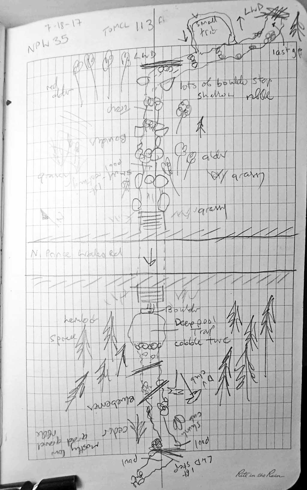
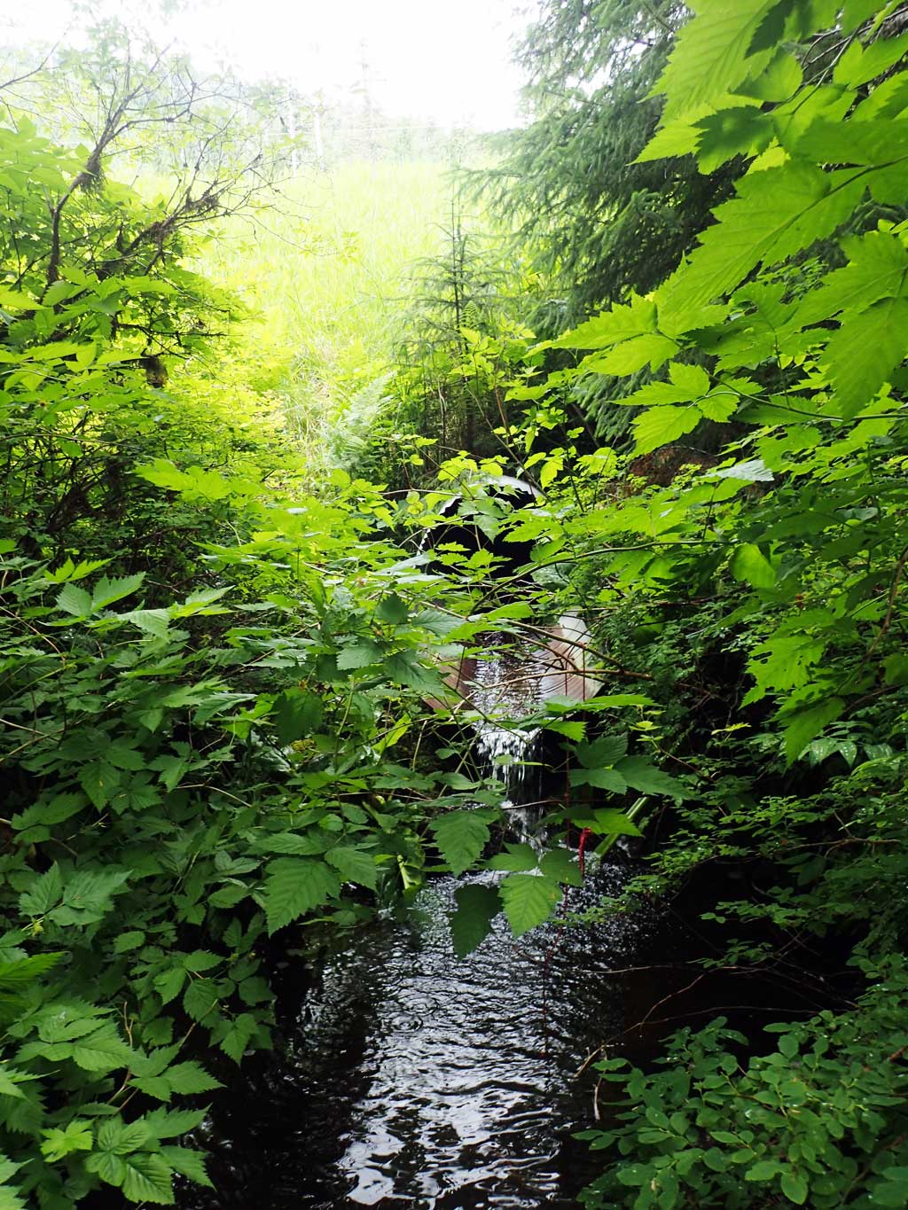
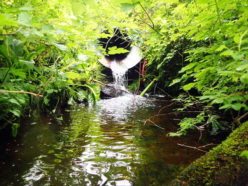
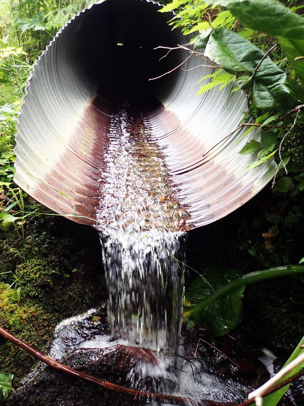
- Outfall height red
- Culvert gradient red
- Compound gradient in pipe
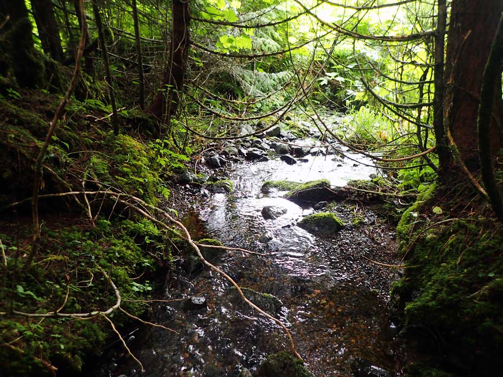
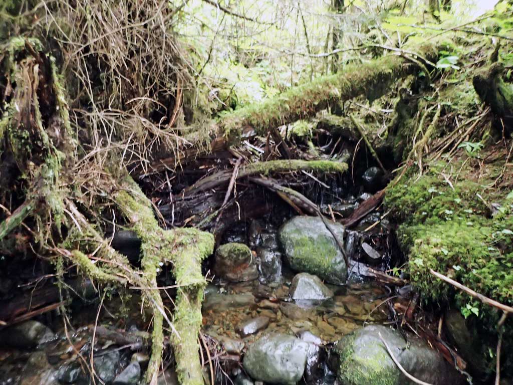
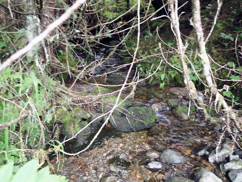
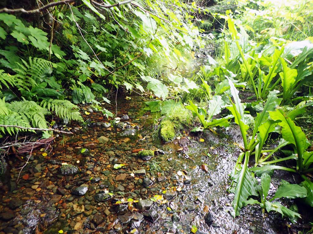
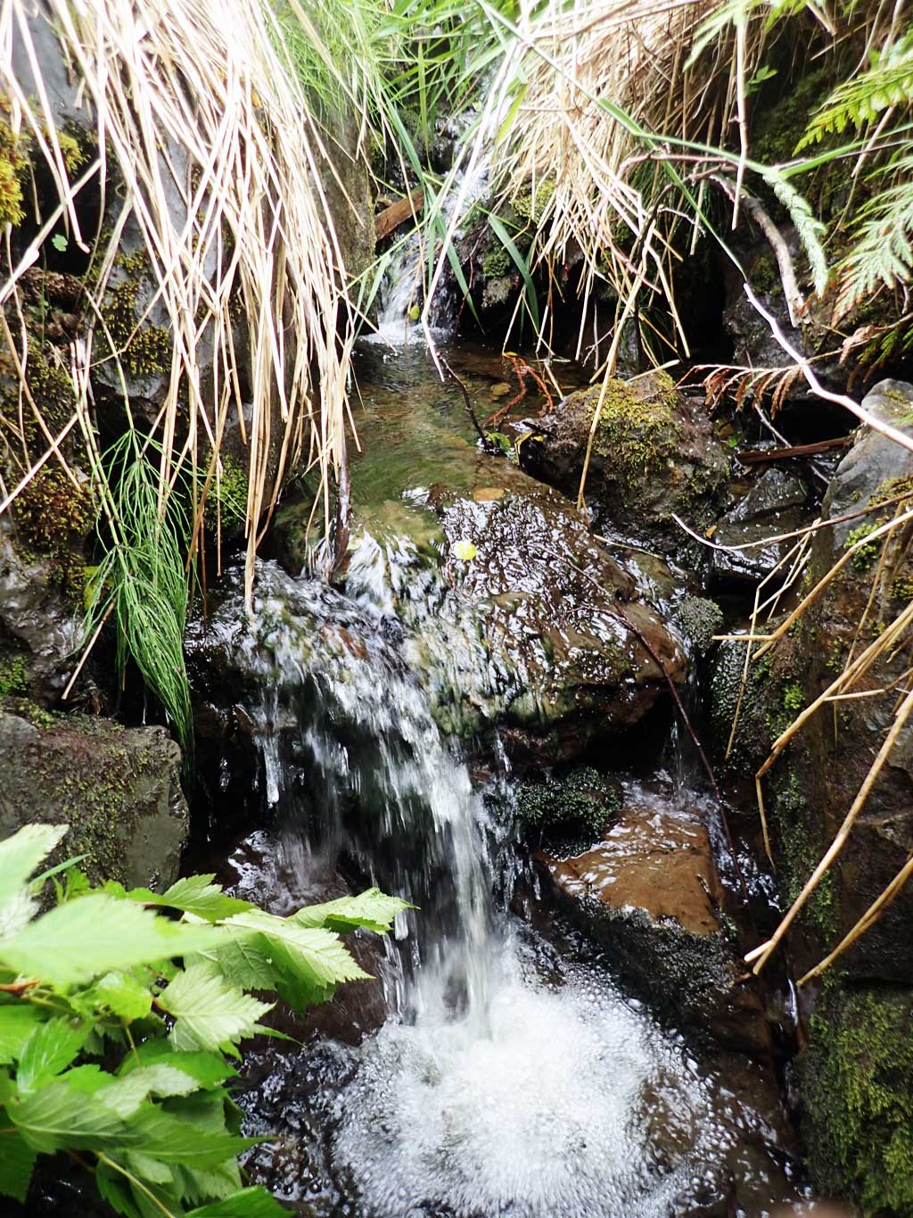
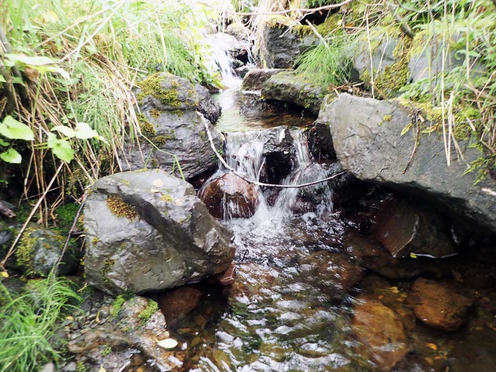
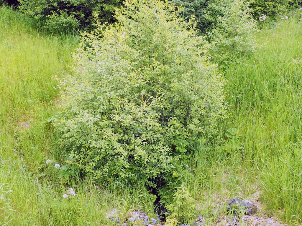
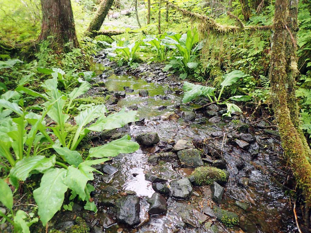
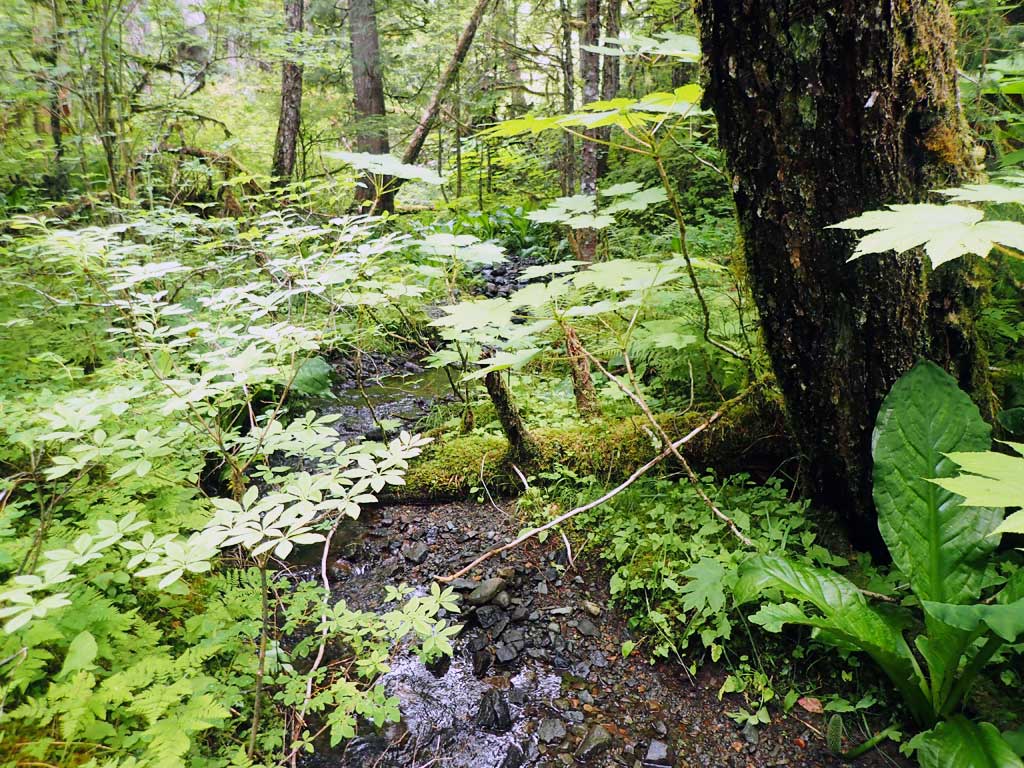
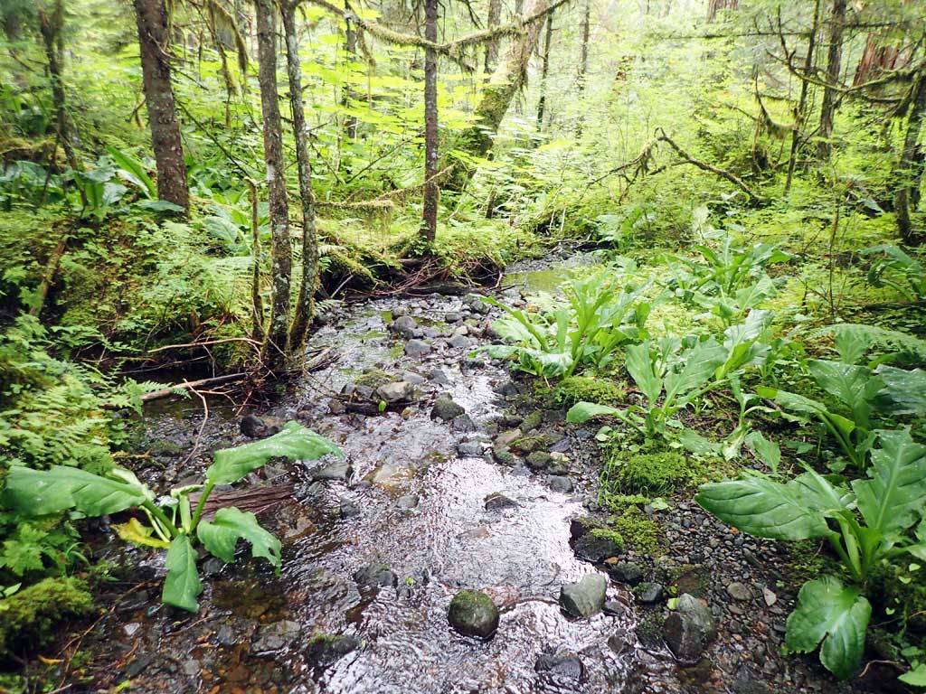
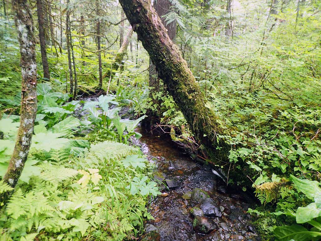
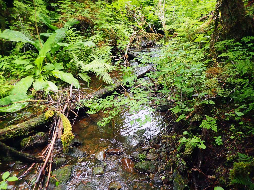
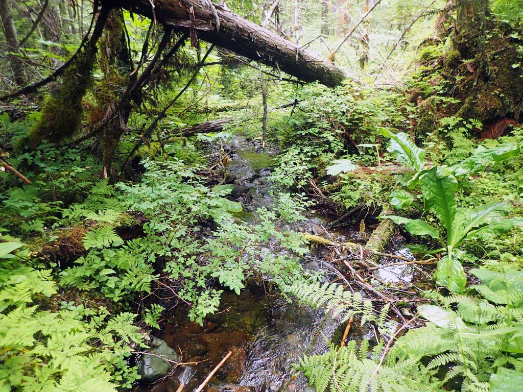
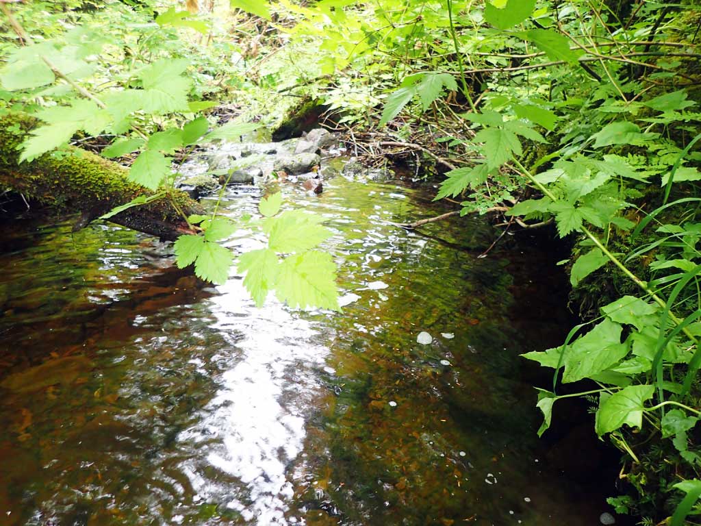
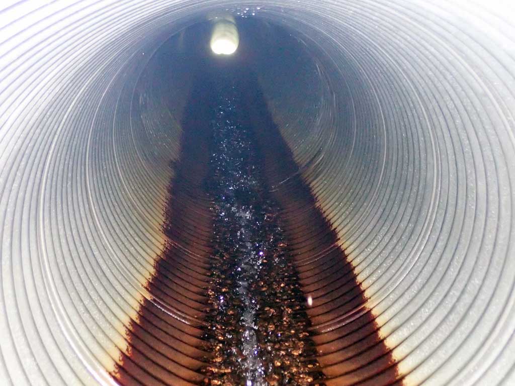
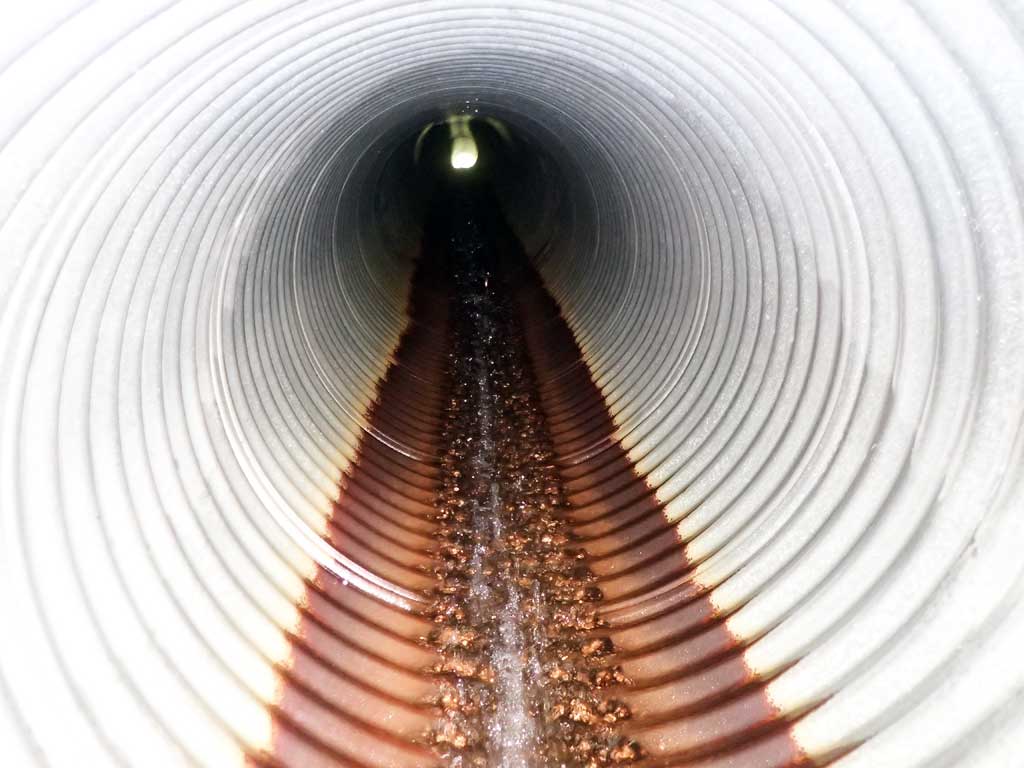
Comments: Small stream, mostly low gradient riffle downstream with some large woody debris. Log step 1ft high 50ft downstream. Upstream some big boulders, first resting about 20ft from inlet. Upstream channels turns south after 50ft.
Culvert Measurements
| ID: 1 | Structure Type: Circular pipe (Corrugated steel) | Fish Passage Rating: | |||||||||||||||||||||||||||||||||||||||||
|
|
|
|||||||||||||||||||||||||||||||||||||||||
Comments: Top of culvert length 113'. |
|||||||||||||||||||||||||||||||||||||||||||
Culvert Observations:
|
|||||||||||||||||||||||||||||||||||||||||||
Stream Measurements
|
|
| Stream Width Type | Distance From Crossing (ft) |
Stream Width (ft) |
|---|---|---|
| Upstream ordinary high water | 10.0 | 1.30 |
| Upstream ordinary high water | 40.0 | 2.80 |
| Upstream ordinary high water | 70.0 | 1.00 |
Elevations
| Locator ID | Culvert Number |
River Distance (ft)1 |
Distance From Crossing (ft)2 |
Relative Elevation (ft) |
|---|---|---|---|---|
| Road Elev | 120.97 | |||
| D/S Grade Ctrl (Thalweg) | 0.00 | 92.93 | ||
| D/S Water Surface Elev | 0.00 | 92.99 | ||
| D/S Tailcrest or 1st Thalweg (gravel bar) | 15.00 | 93.72 | ||
| D/S Water Surface Elev | 15.00 | 94.83 | ||
| Outlet Pool Water Elev | 20.00 | 94.79 | ||
| Max Pool Depth | 20.00 | 93.29 | ||
| D/S Grade Ctrl (Thalweg) (outfall hits rock) | 29.00 | 95.19 | ||
| D/S Water Surface Elev | 29.00 | 95.84 | ||
| Outlet Invert (on pipe) | 29.00 | 96.65 | ||
| D/S Water Surface Elev | 29.00 | 96.68 | ||
| Outlet Culvert Top | 36.00 | 100.00 | ||
| Inlet Culvert Top | 149.00 | 109.19 | ||
| Inlet Culvert Invert (on pipe) | 156.00 | 106.20 | ||
| U/S Water Surface Elev | 156.00 | 106.47 | ||
| U/S Grade Ctrl (Thalweg) | 160.00 | 107.37 | ||
| U/S Water Surface Elev | 160.00 | 107.54 | ||
| U/S Grade Ctrl (Thalweg) | 185.00 | 111.96 | ||
| U/S Water Surface Elev | 185.00 | 112.18 | ||
| U/S Grade Ctrl (Thalweg) | 200.00 | 113.06 | ||
| U/S Water Surface Elev | 200.00 | 113.73 | ||
| U/S Grade Ctrl (Thalweg) | 254.00 | 114.84 | ||
| U/S Water Surface Elev | 254.00 | 114.94 |
Notes:
- River distance is measured continuously throughout the survey reach along the thalweg of the stream.
- Measured from each end of the crossing along the thalweg of the stream.
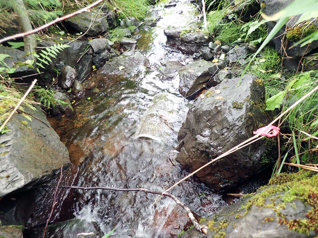
Fish Sampling Efforts
| Gear Type: Minnow Trap (A) | Trap Duration(h): 1.5 | |
| Comments: no fish | ||
| Gear Type: Minnow Trap (B) | Trap Duration(h): 1.5 | |
| Comments: no fish | ||
Fish Observations
No fish observations occurred during this survey.
Photos


Questions or comments about this report can be directed to dfg.dsf.webmaster@alaska.gov