Fish Passage Site 10103600
Coordinates (dec. deg.): 55.72224°, -132.93346°
Legal Description: C071S081E12
Region: Southeast
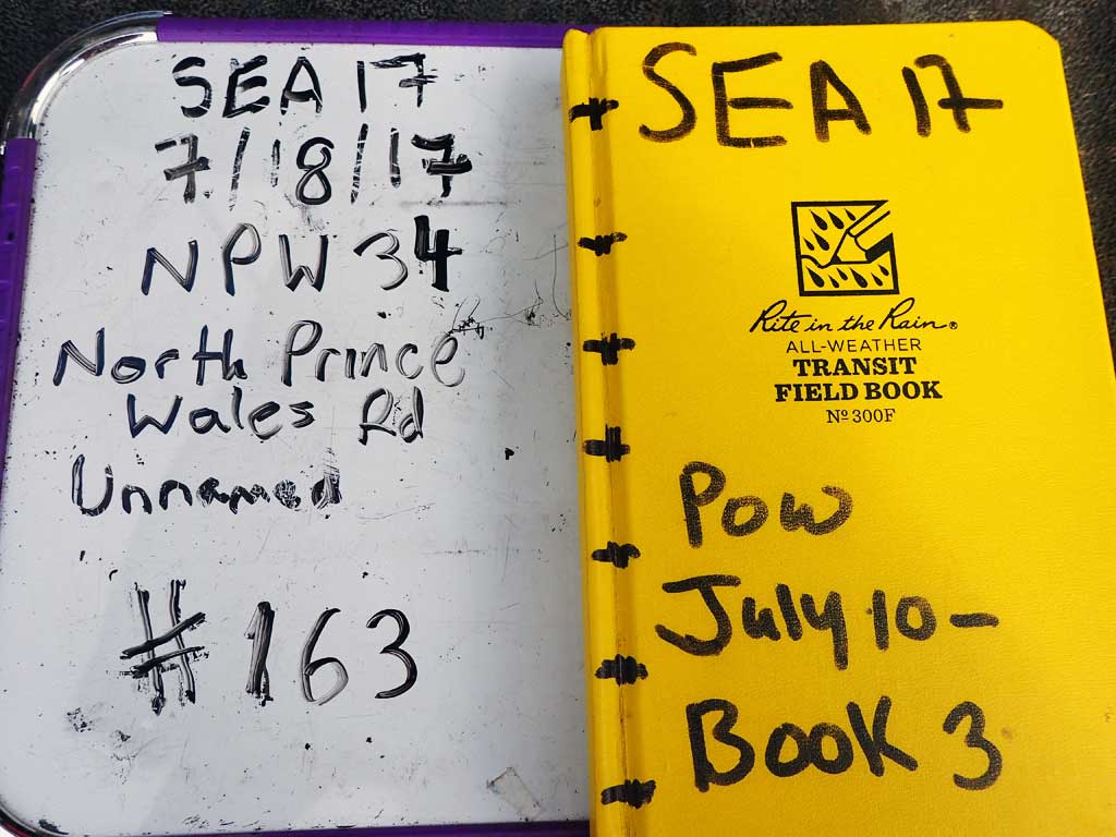
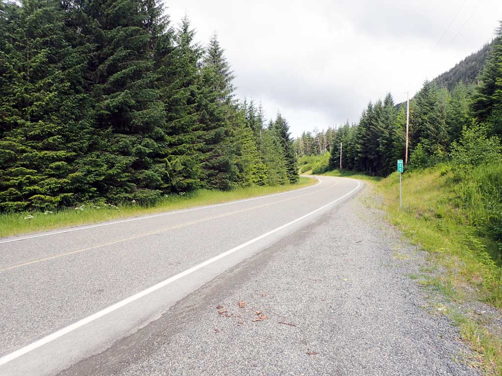
Road Name: North Prince of Wales Road
Datum: NAD83
Quad Name / ITM: Craig C-3
AWC Stream #:
Stream Name: Unnamed
Elevation:
Site Comments: None
Survey SEA17-NPW34
Observers: Elizabeth Flory, Kelly Petty
Overall Fish Passage Rating:
Tidal: No
Backwatered: No
Step Pools: No
Construction Year:
Site Observations:
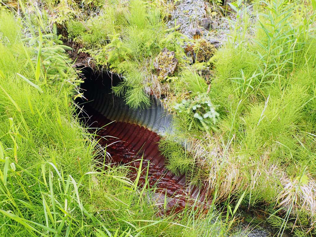
- Outfall height red
- Culvert gradient red
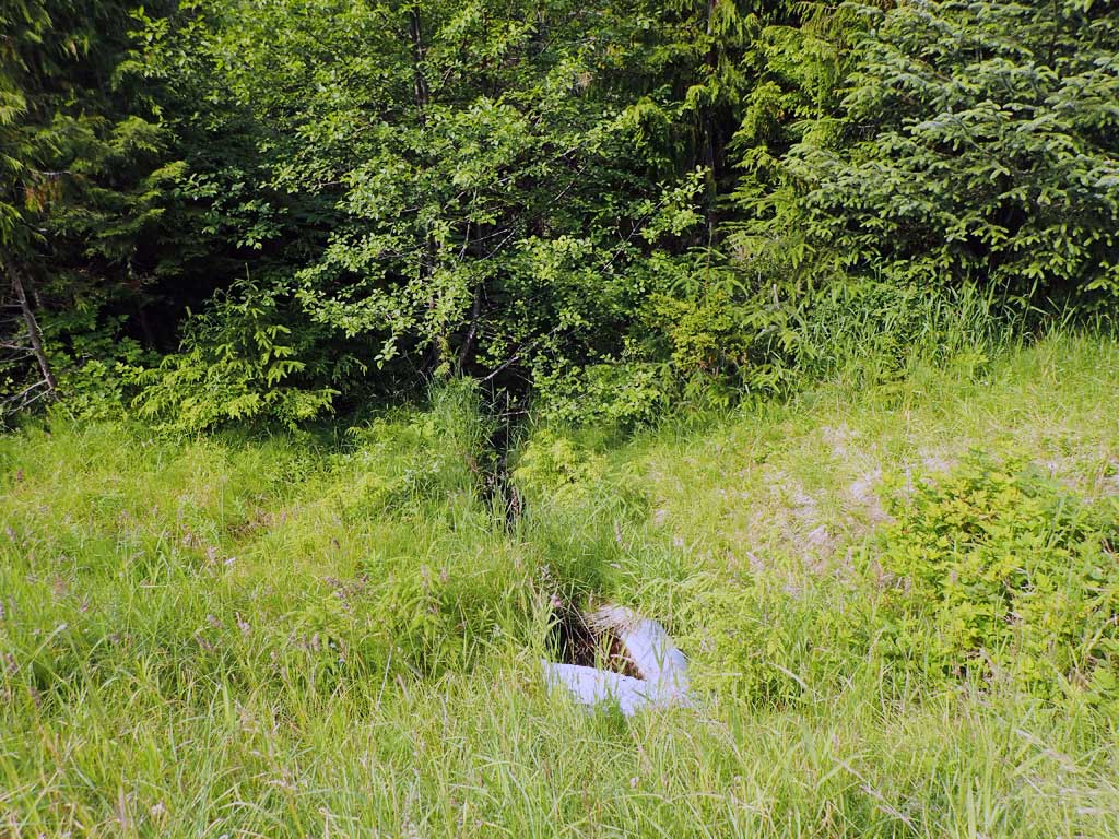
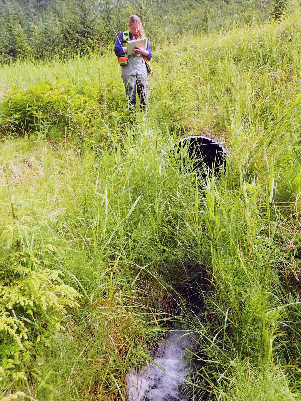
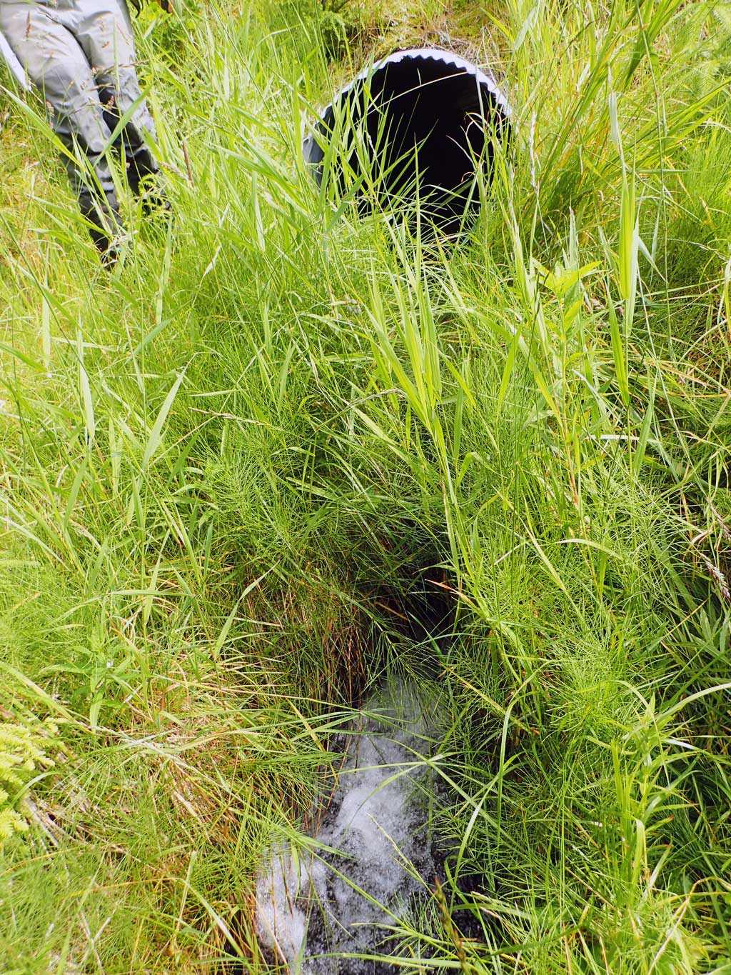
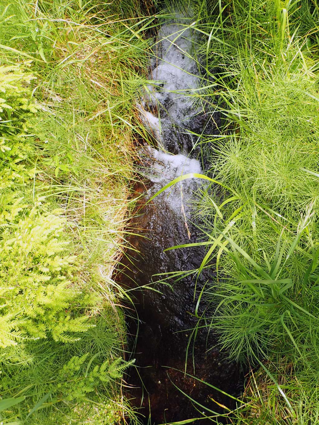
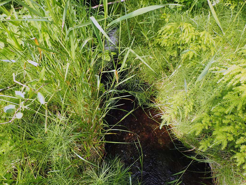
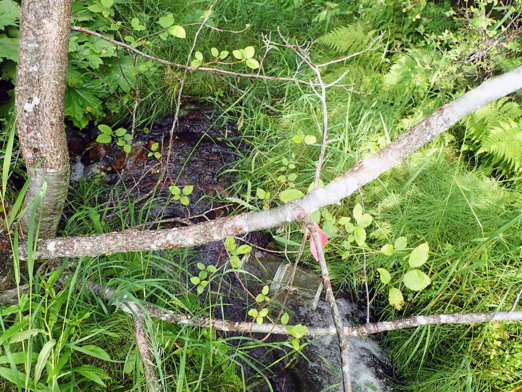
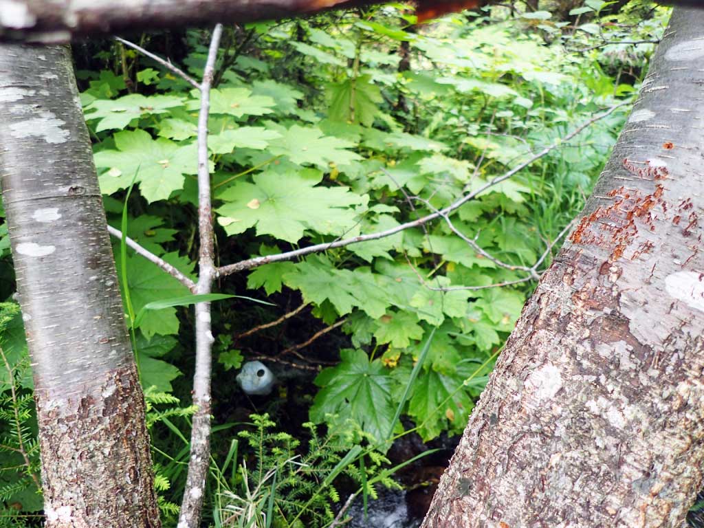
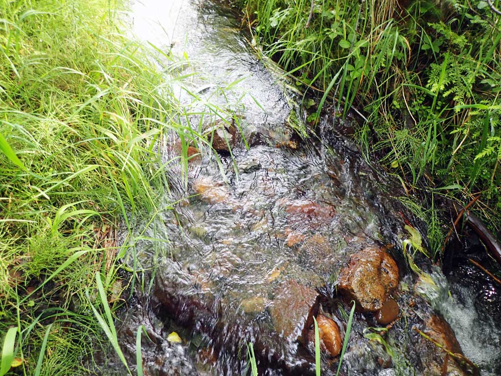
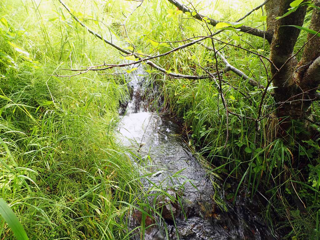
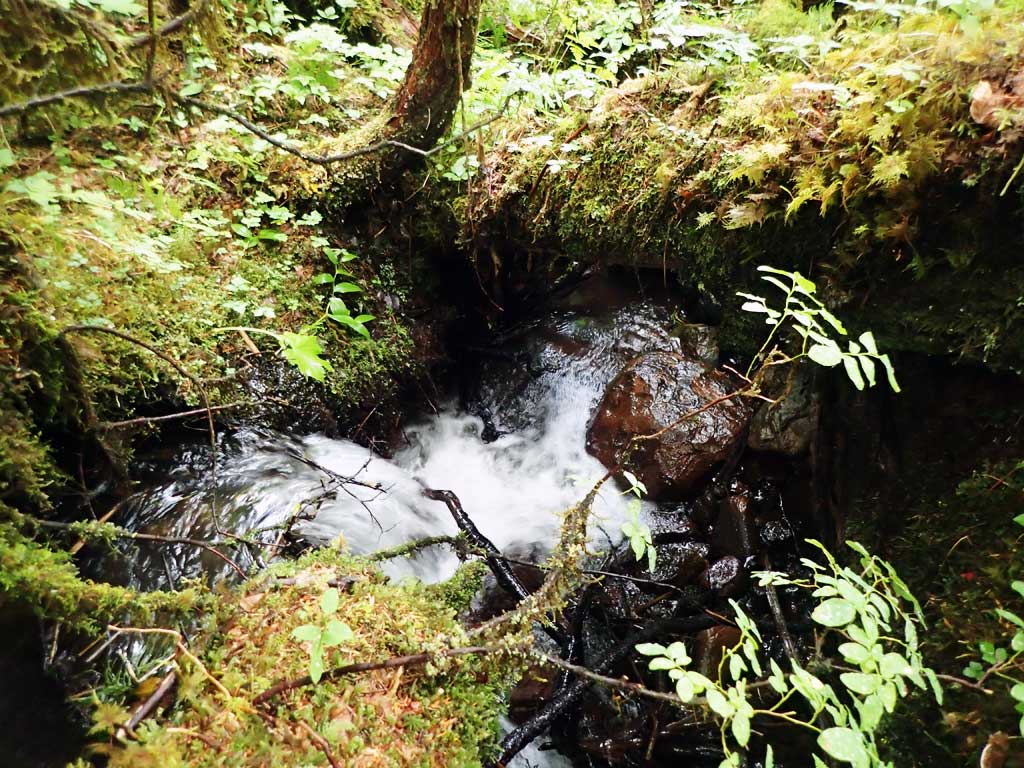
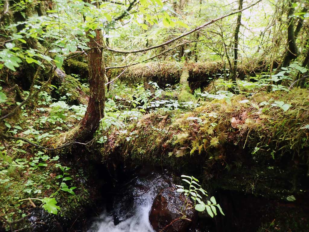
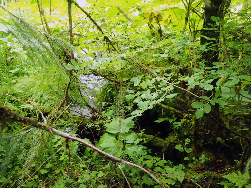
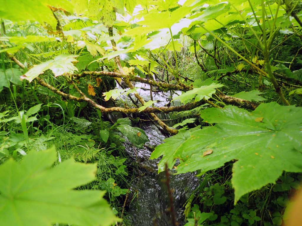
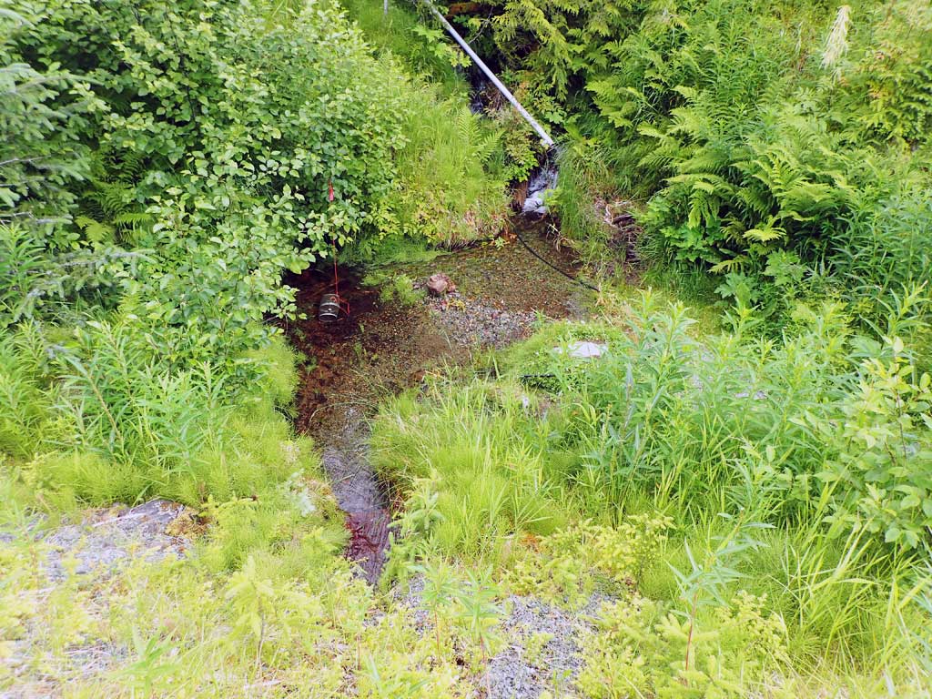
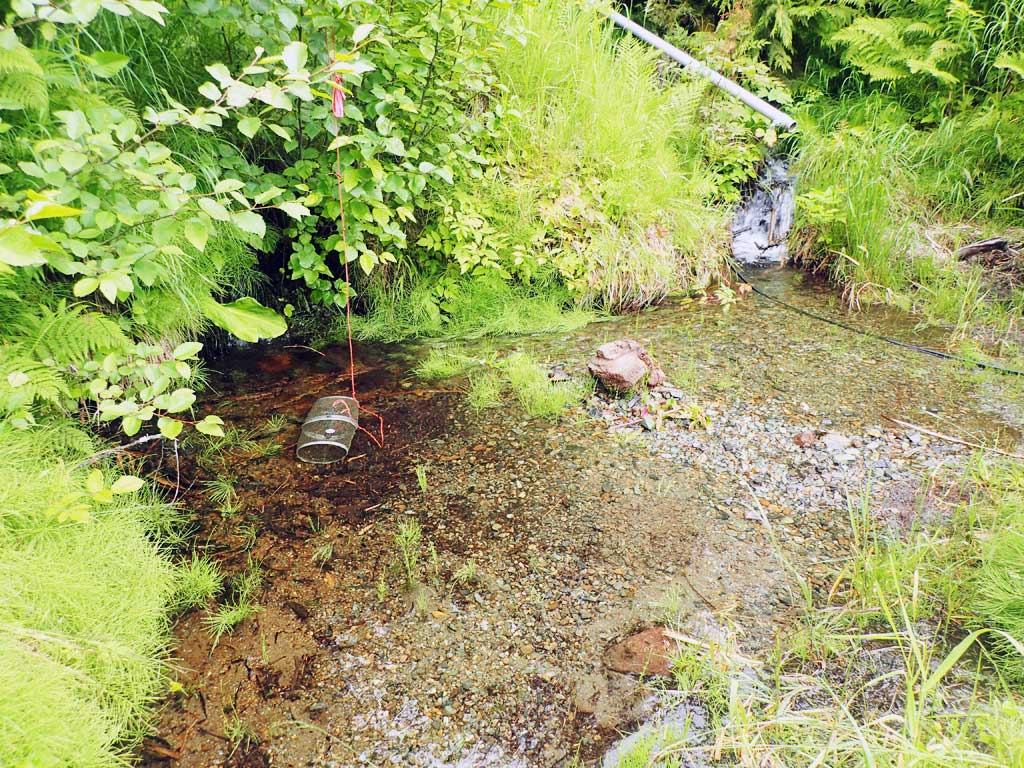
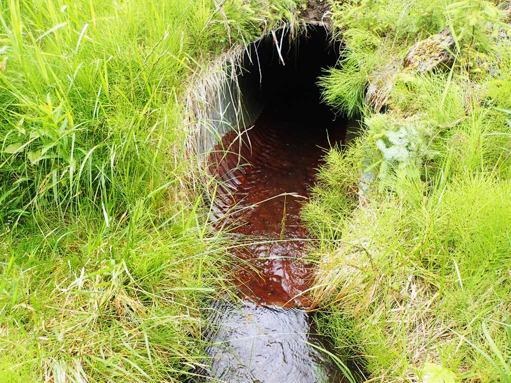
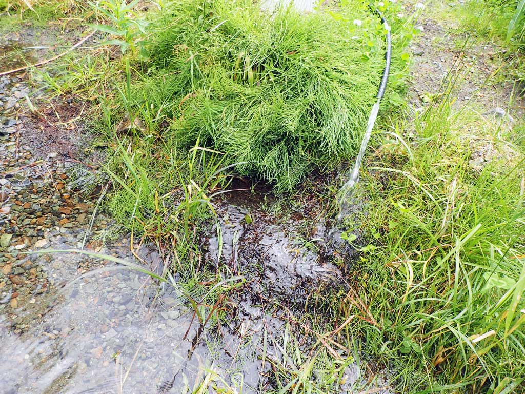
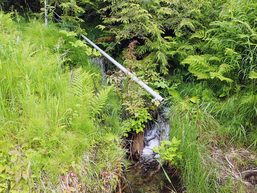
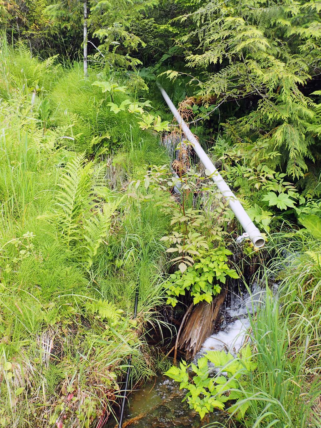
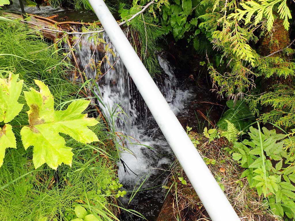
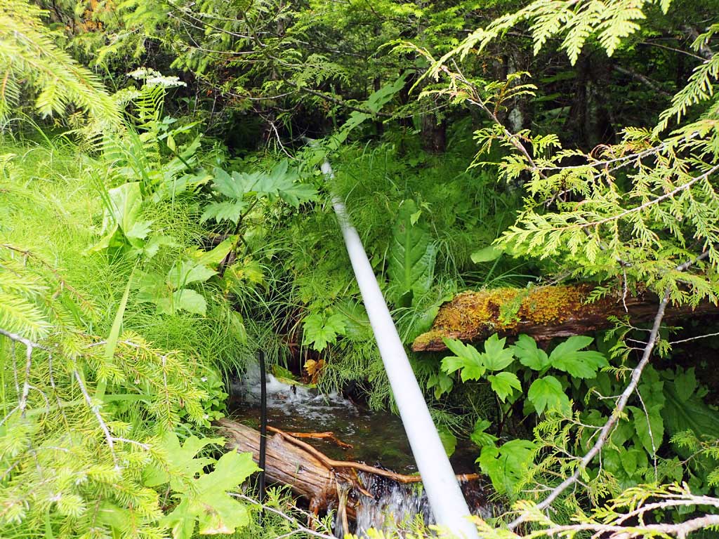
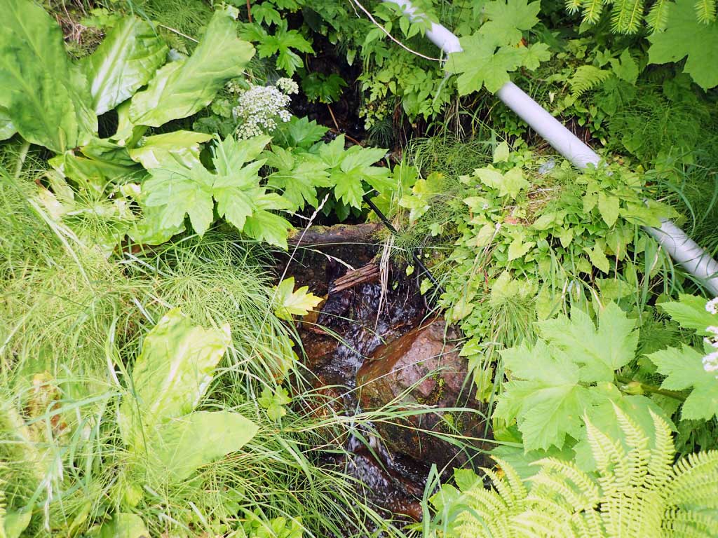
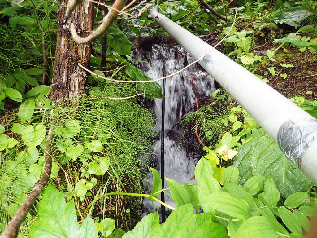
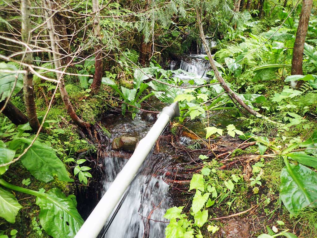
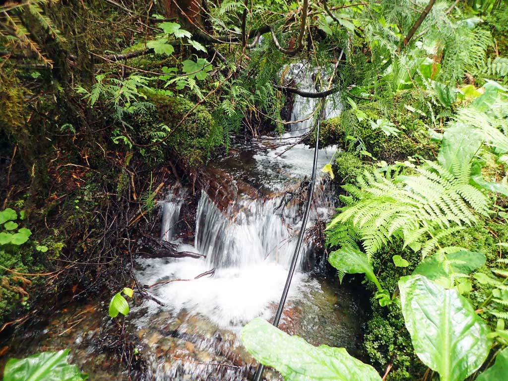
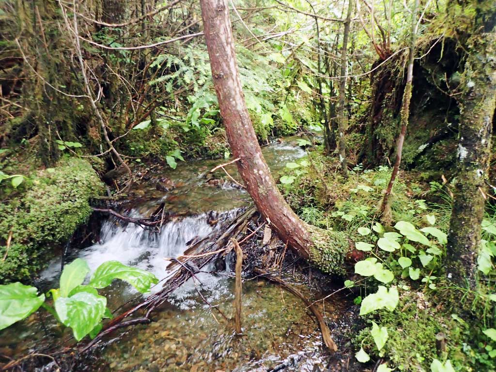
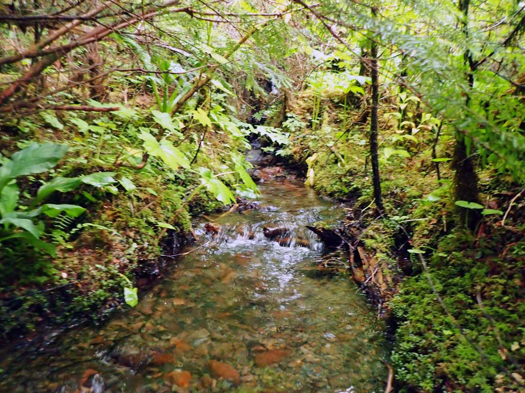
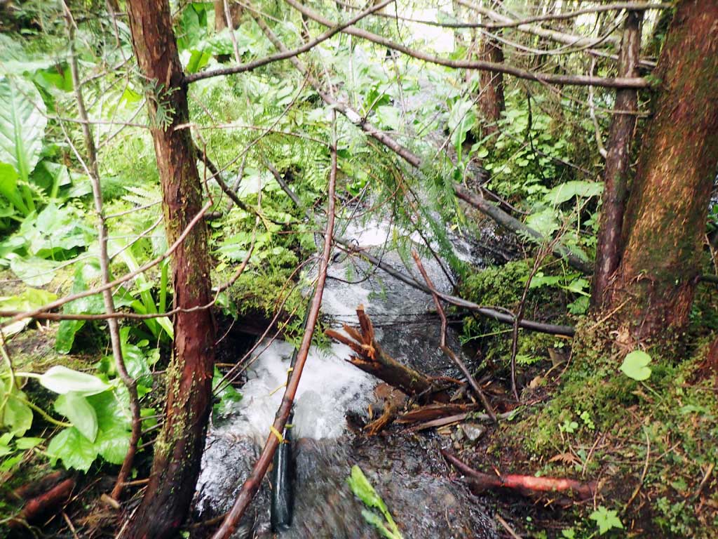
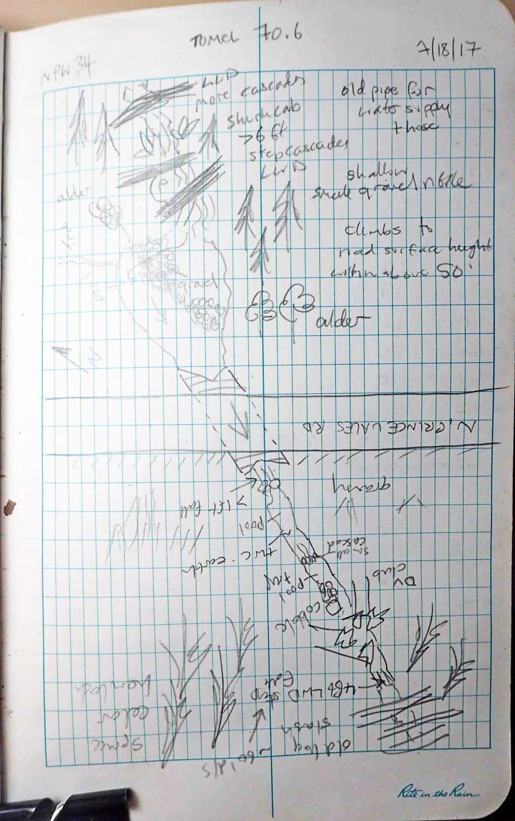
Comments: Milepost 20. Upstream has gravelly pool then large wood cascades at 30ft from inlet. More cascades above, steep. Climbs to road surface height within 50ft of inlet. Downstream has 4ft high large woody debris step then goes under big logging slash. Hose pipe instream.
Culvert Measurements
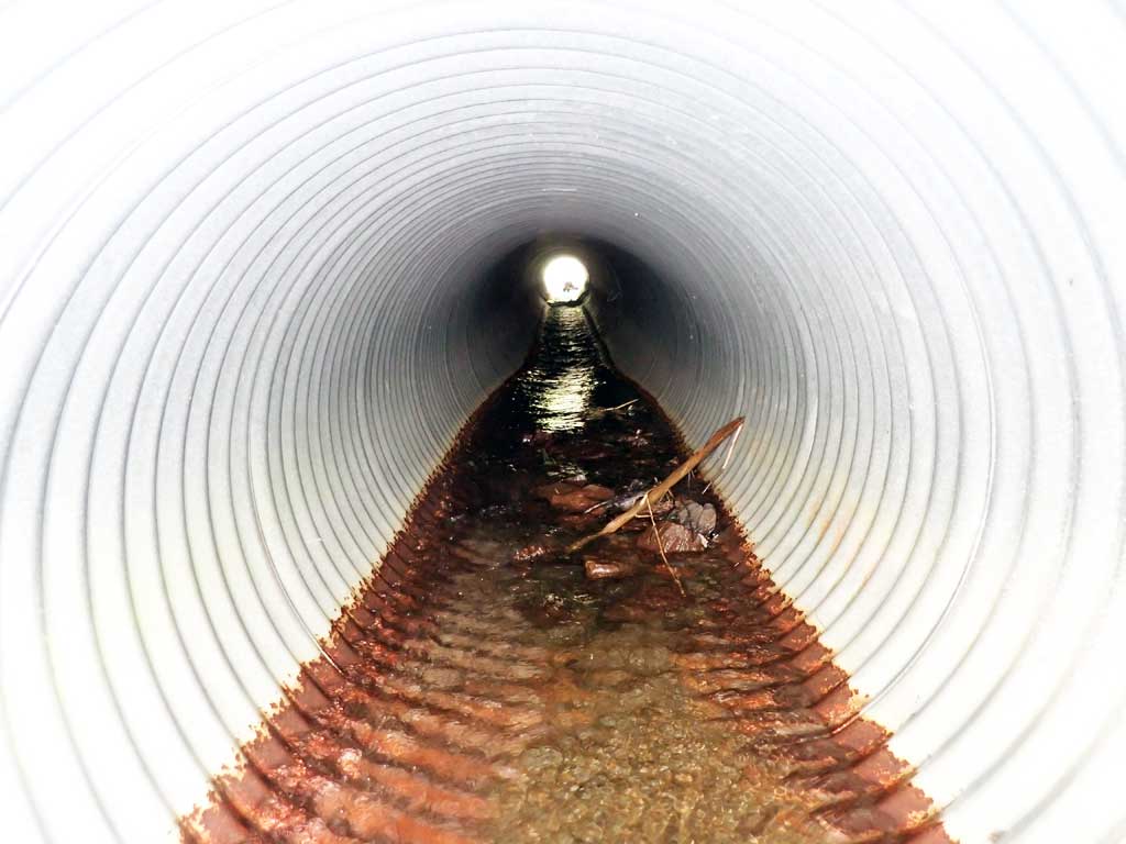
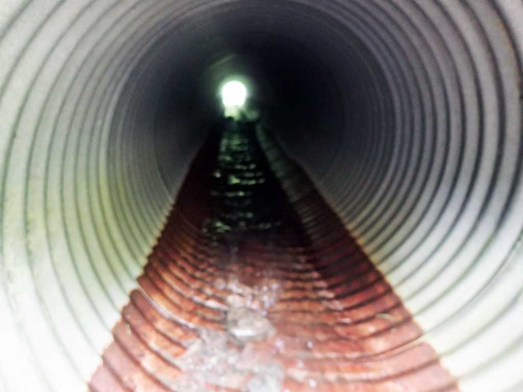
| ID: 1 | Structure Type: Circular pipe (Corrugated steel) | Fish Passage Rating: | |||||||||||||||||||||||||||||||||||||||||
|
|
|
|||||||||||||||||||||||||||||||||||||||||
Comments: Approach angle taken at bend in stream? See photos. Unsure on substrate at inverts too. Top of culvert length 70.6'. |
|||||||||||||||||||||||||||||||||||||||||||
Culvert Observations:
|
|||||||||||||||||||||||||||||||||||||||||||
Stream Measurements
|
|
| Stream Width Type | Distance From Crossing (ft) |
Stream Width (ft) |
|---|---|---|
| Upstream ordinary high water | 20.0 | 2.11 |
| Upstream ordinary high water | 40.0 | 3.00 |
| Upstream ordinary high water | 60.0 | 1.50 |
Elevations
| Locator ID | Culvert Number |
River Distance (ft)1 |
Distance From Crossing (ft)2 |
Relative Elevation (ft) |
|---|---|---|---|---|
| Road Elev | 106.00 | |||
| D/S Grade Ctrl (Thalweg) | 0.00 | 91.65 | ||
| D/S Water Surface Elev | 0.00 | 92.09 | ||
| D/S Water Surface Elev | 9.00 | 92.25 | ||
| D/S Grade Ctrl (Thalweg) (trap pool) | 9.00 | 91.32 | ||
| D/S Grade Ctrl (Thalweg) (pool) | 17.00 | 92.58 | ||
| D/S Water Surface Elev | 17.00 | 92.97 | ||
| Outlet Invert (on pipe) | 24.00 | 94.62 | ||
| D/S Water Surface Elev | 24.00 | 95.12 | ||
| Outlet Culvert Top | 30.00 | 97.68 | ||
| Inlet Culvert Top | 100.60 | 100.00 | ||
| Inlet Culvert Invert (on pipe) | 106.60 | 97.12 | ||
| U/S Water Surface Elev | 106.60 | 97.36 | ||
| U/S Water Surface Elev | 111.60 | 97.45 | ||
| U/S Grade Ctrl (Thalweg) (gravel bar) | 111.60 | 97.06 | ||
| U/S Grade Ctrl (Thalweg) (Large woody debris cascade) | 131.60 | 102.53 | ||
| U/S Water Surface Elev | 131.60 | 103.47 |
Notes:
- River distance is measured continuously throughout the survey reach along the thalweg of the stream.
- Measured from each end of the crossing along the thalweg of the stream.
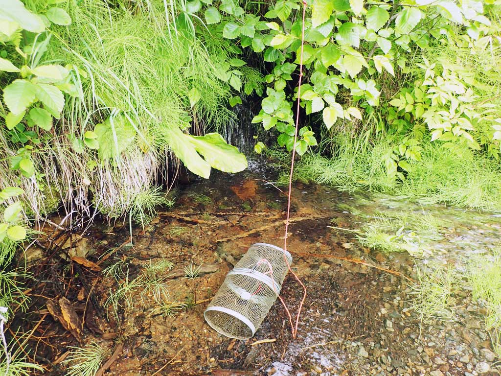
Fish Sampling Efforts
| Gear Type: Minnow Trap (A) | Trap Duration(h): 1.3 | |
| Comments: no fish | ||
| Gear Type: Minnow Trap (B) | Trap Duration(h): 1.3 | |
| Comments: no fish | ||
Fish Observations
No fish observations occurred during this survey.
Photos
Questions or comments about this report can be directed to dfg.dsf.webmaster@alaska.gov