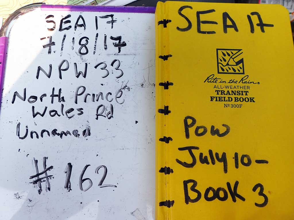
Fish Passage Site 10103599
Coordinates (dec. deg.): 55.72305°, -132.93448°
Legal Description: C071S081E12
Region: Southeast
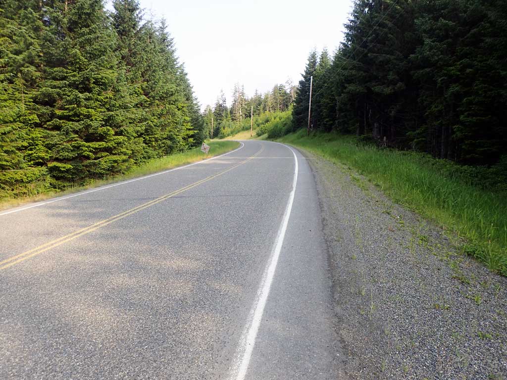
Road Name: North Prince of Wales Road
Datum: NAD83
Quad Name / ITM: Craig C-3
AWC Stream #:
Stream Name: Unnamed
Elevation:
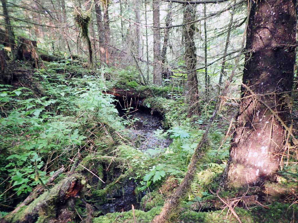
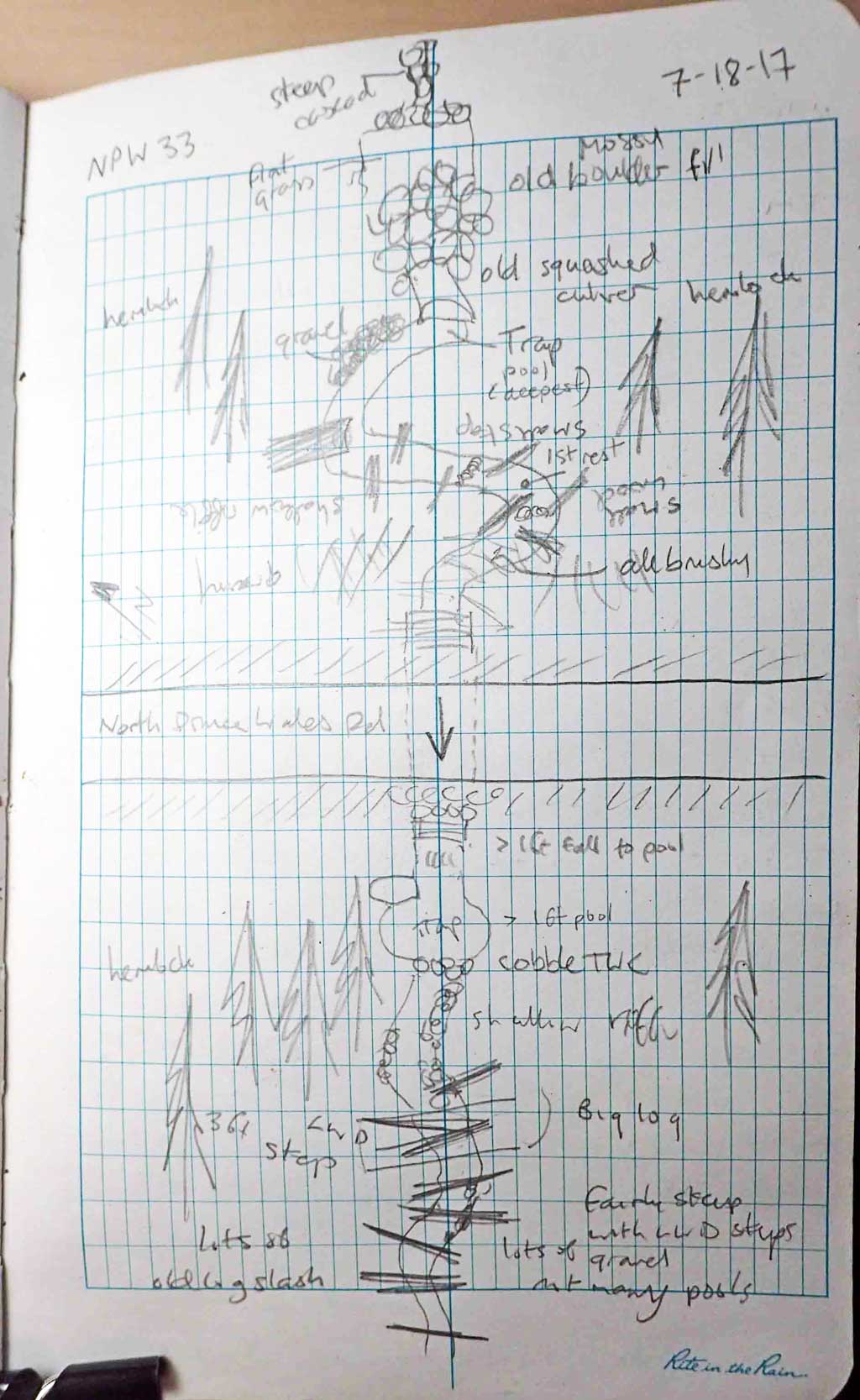
Site Comments: Mile 20.
Survey SEA17-NPW33
Observers: Elizabeth Flory, Kelly Petty
Overall Fish Passage Rating:
Tidal: No
Backwatered: No
Step Pools: No
Construction Year:
Site Observations:
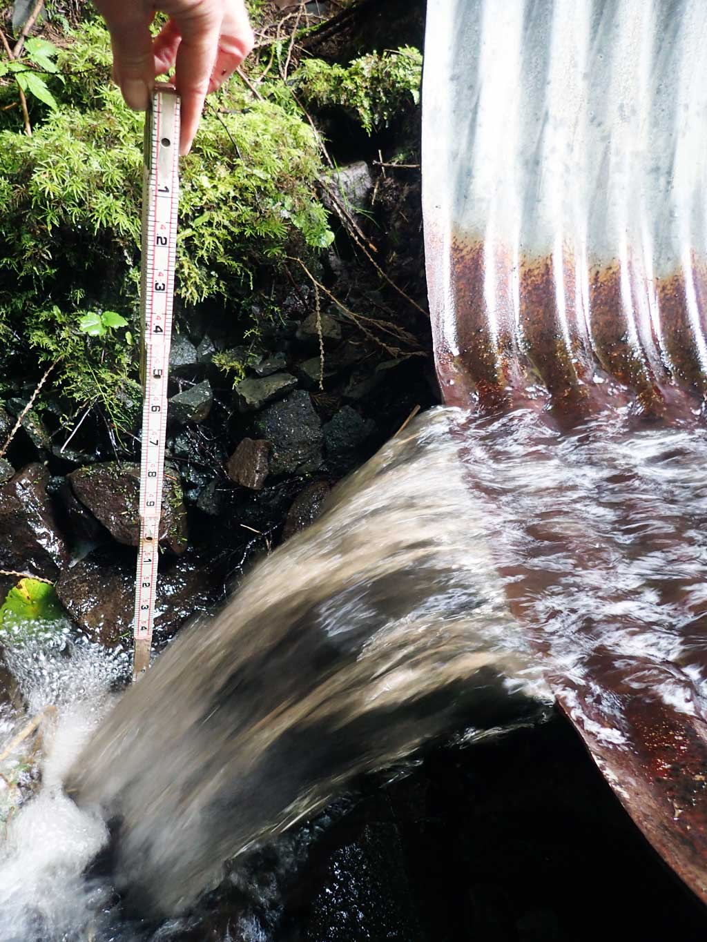
- Culvert gradient red
- Outfall height red
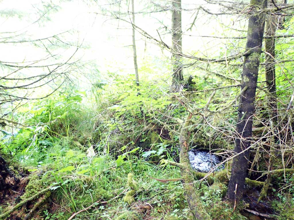
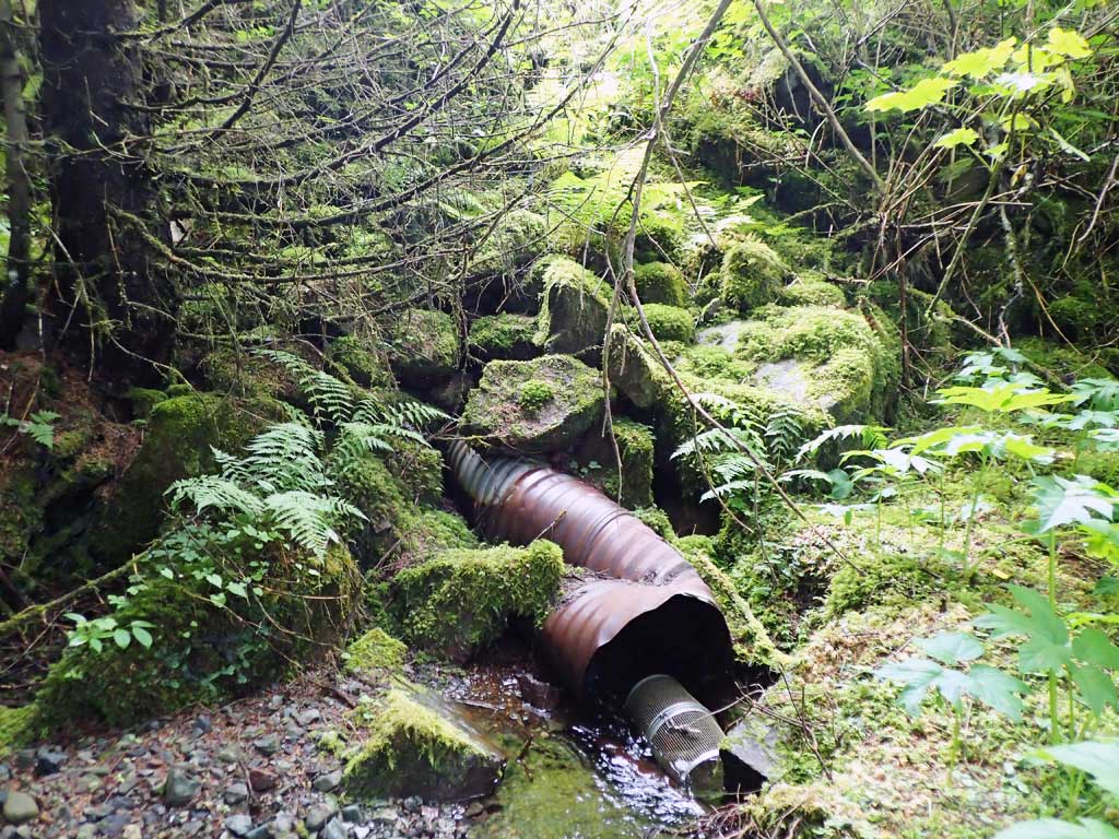
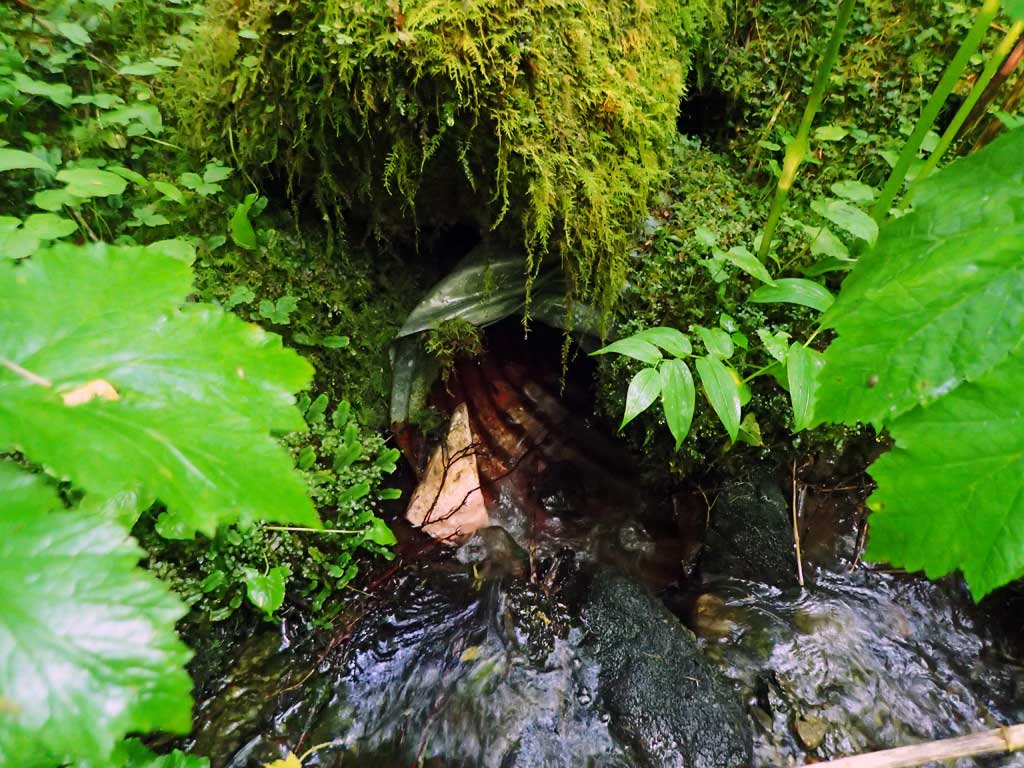
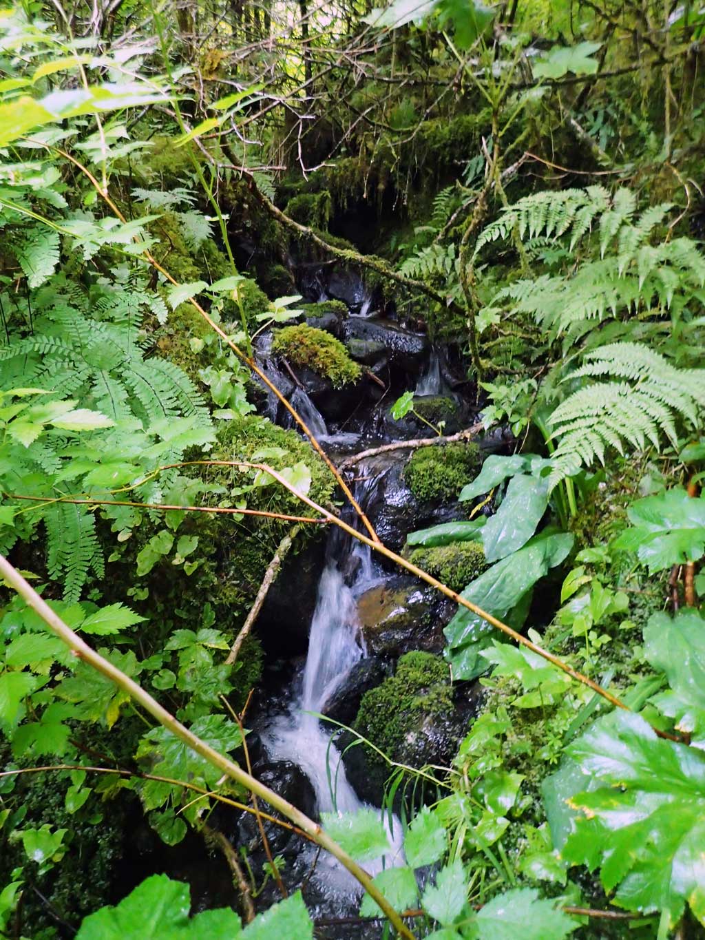
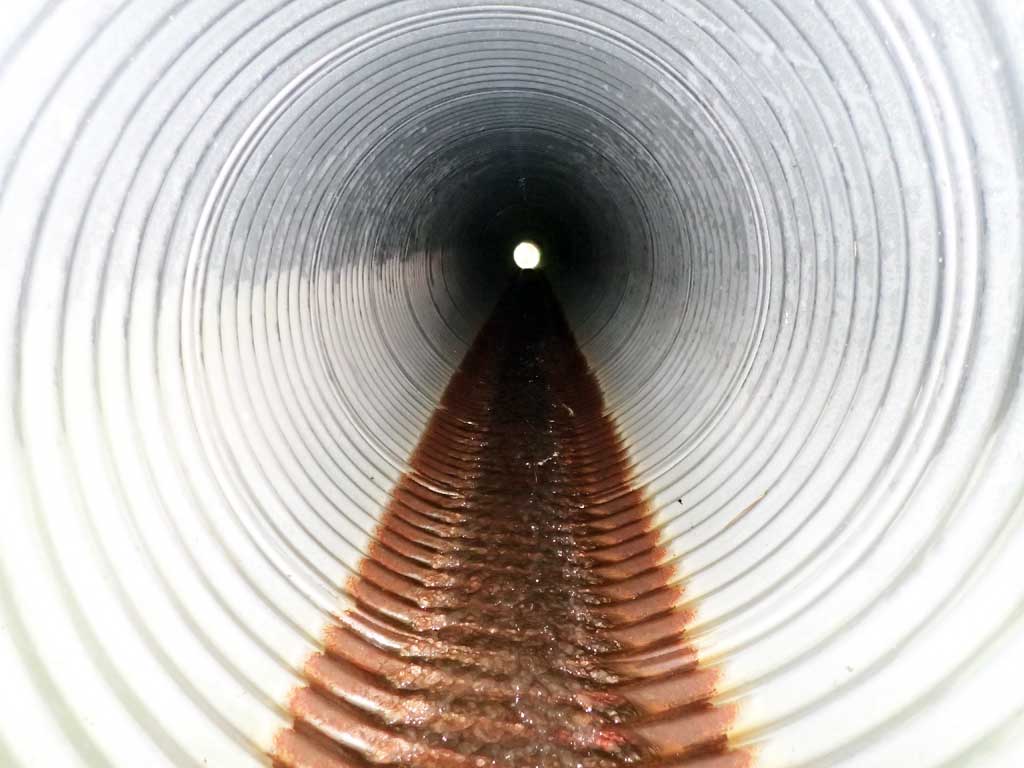
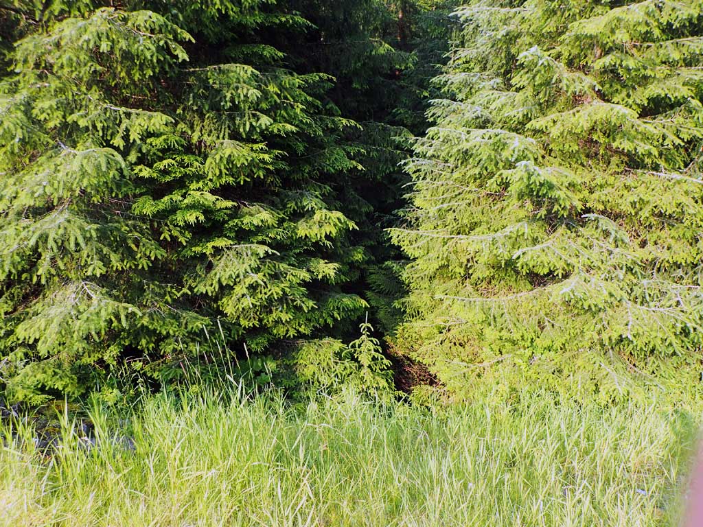
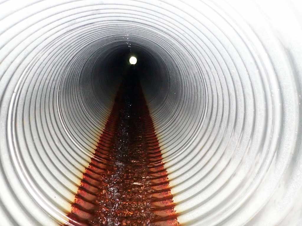
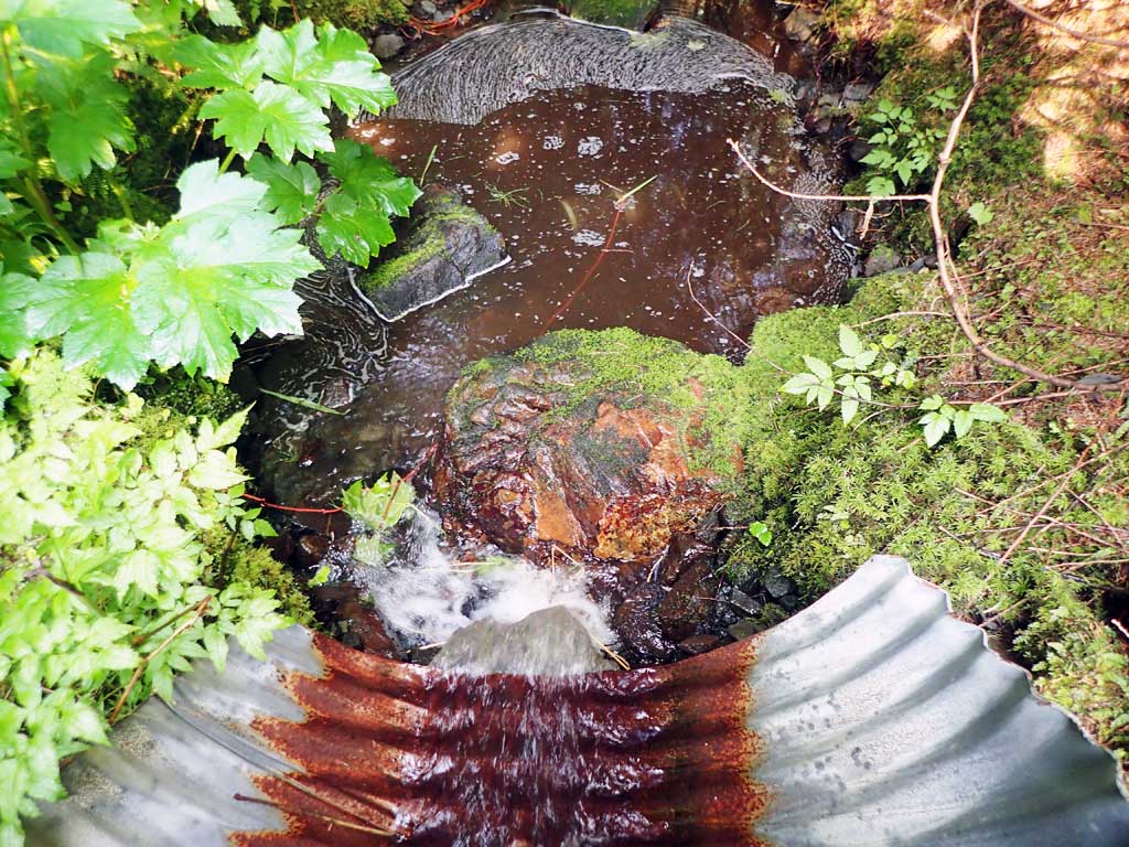
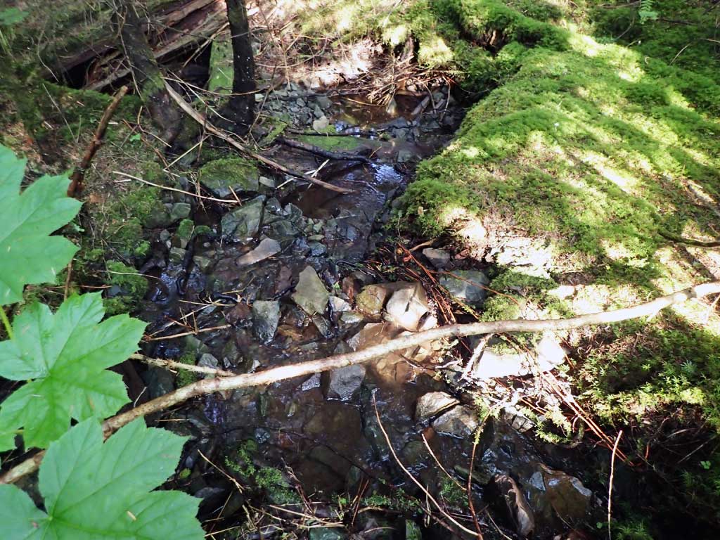
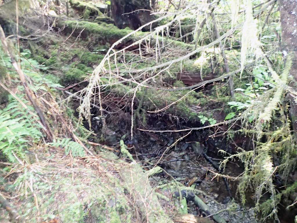
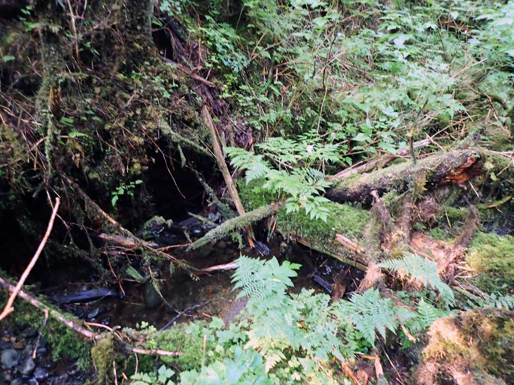
Comments: Upstream 50ft is an old culvert under old road fill. Above culvert is steep cascade. Downstream is fairly steep, lots of woody debris steps, lots of gravel, but not mnay pools. No fish captured. Stream gradient distance short.
Culvert Measurements
| ID: 1 | Structure Type: Circular pipe (Corrugated steel) | Fish Passage Rating: | |||||||||||||||||||||||||||||||||||||||||
|
|
|
|||||||||||||||||||||||||||||||||||||||||
Comments: Unsure on invert substrate as inlet and outlet heights recorded are greater than widths so not representing substrate depth. Top of culvert length 100'. |
|||||||||||||||||||||||||||||||||||||||||||
Stream Measurements
|
|
| Stream Width Type | Distance From Crossing (ft) |
Stream Width (ft) |
|---|---|---|
| Upstream ordinary high water | 60.0 | 1.40 |
| Upstream ordinary high water | 90.0 | 2.00 |
| Upstream ordinary high water | 120.0 | 1.50 |
Elevations
| Locator ID | Culvert Number |
River Distance (ft)1 |
Distance From Crossing (ft)2 |
Relative Elevation (ft) |
|---|---|---|---|---|
| Road Elev | 122.83 | |||
| D/S Grade Ctrl (Thalweg) | 0.00 | 92.44 | ||
| D/S Water Surface Elev | 0.00 | 92.67 | ||
| D/S Grade Ctrl (Thalweg) | 25.00 | 97.67 | ||
| D/S Water Surface Elev | 25.00 | 97.74 | ||
| D/S Tailcrest or 1st Thalweg (cobble) | 31.00 | 99.02 | ||
| D/S Water Surface Elev | 31.00 | 99.16 | ||
| D/S Water Surface Elev | 36.00 | 99.15 | ||
| Max Pool Depth | 36.00 | 97.91 | ||
| Outlet Invert (on pipe) | 46.00 | 100.57 | ||
| D/S Water Surface Elev | 46.00 | 100.63 | ||
| Outlet Culvert Top | 50.00 | 104.17 | ||
| Inlet Culvert Top | 150.00 | 113.34 | ||
| Inlet Culvert Invert (on pipe) | 154.00 | 110.78 | ||
| U/S Water Surface Elev | 154.00 | 111.15 | ||
| U/S Grade Ctrl (Thalweg) | 159.00 | 111.84 | ||
| U/S Water Surface Elev | 159.00 | 112.12 | ||
| U/S Grade Ctrl (Thalweg) | 180.00 | 115.13 | ||
| U/S Water Surface Elev | 180.00 | 115.38 |
Notes:
- River distance is measured continuously throughout the survey reach along the thalweg of the stream.
- Measured from each end of the crossing along the thalweg of the stream.
Fish Sampling Efforts
| Gear Type: Minnow Trap (A) | Trap Duration(h): 1.7 | |
| Comments: no fish | ||
| Gear Type: Minnow Trap (B) | Trap Duration(h): 1.7 | |
| Comments: no fish | ||
Fish Observations
No fish observations occurred during this survey.
Photos


Questions or comments about this report can be directed to dfg.dsf.webmaster@alaska.gov