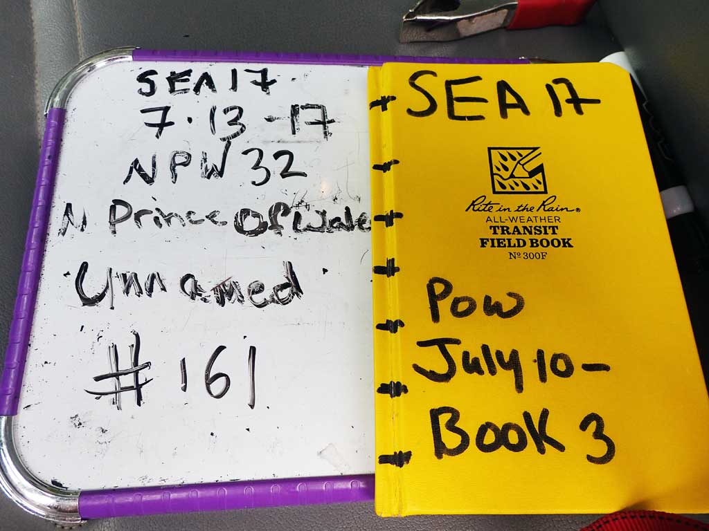
Fish Passage Site 10103598
Coordinates (dec. deg.): 55.72429°, -132.93771°
Legal Description: C071S081E11
Region: Southeast
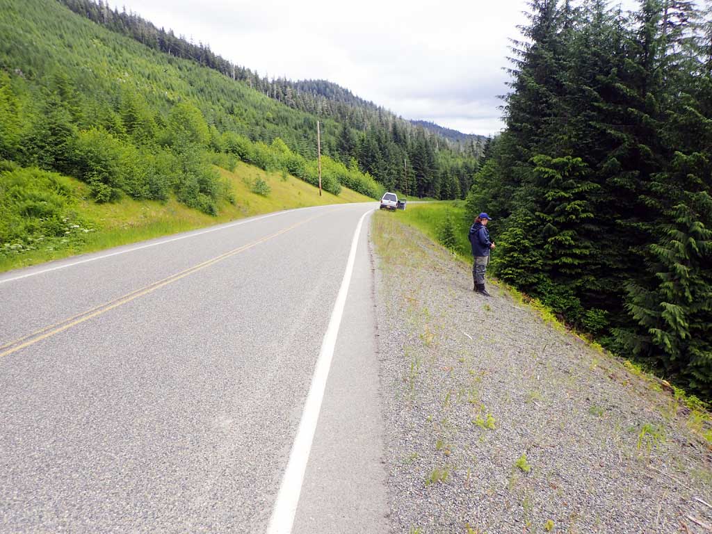
Road Name: North Prince of Wales Road
Datum: NAD83
Quad Name / ITM: Craig C-3
AWC Stream #:
Stream Name: Unnamed
Elevation:
Site Comments: None
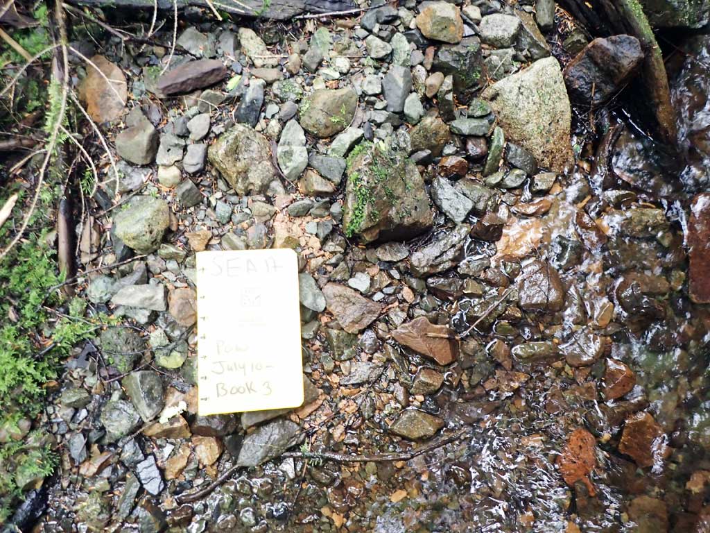
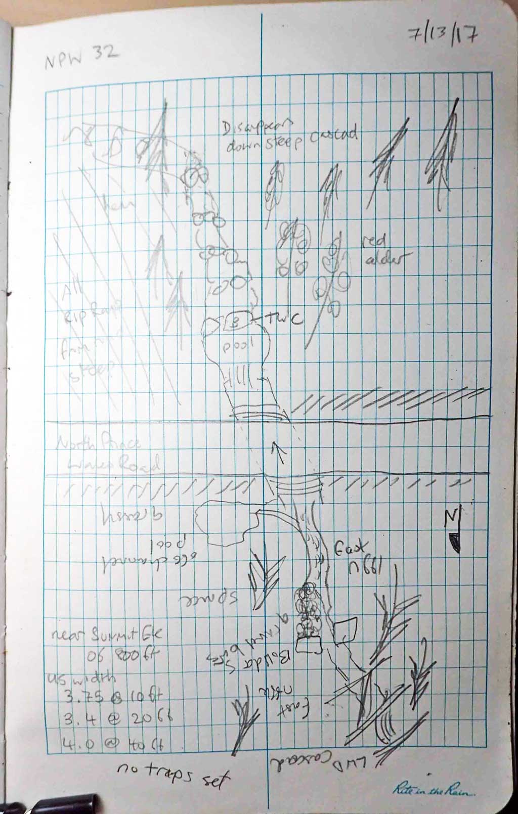
Survey SEA17-NPW32
Observers: Elizabeth Flory, Kelly Petty
Overall Fish Passage Rating:
Tidal: No
Backwatered: No
Step Pools: No
Construction Year:
Site Observations:
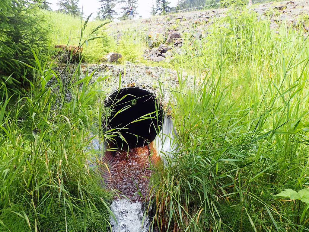
- Outfall height red
- Culvert gradient red
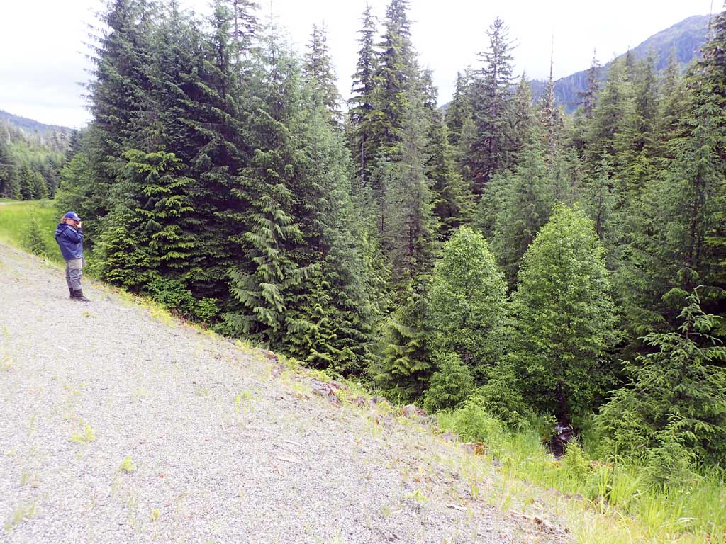
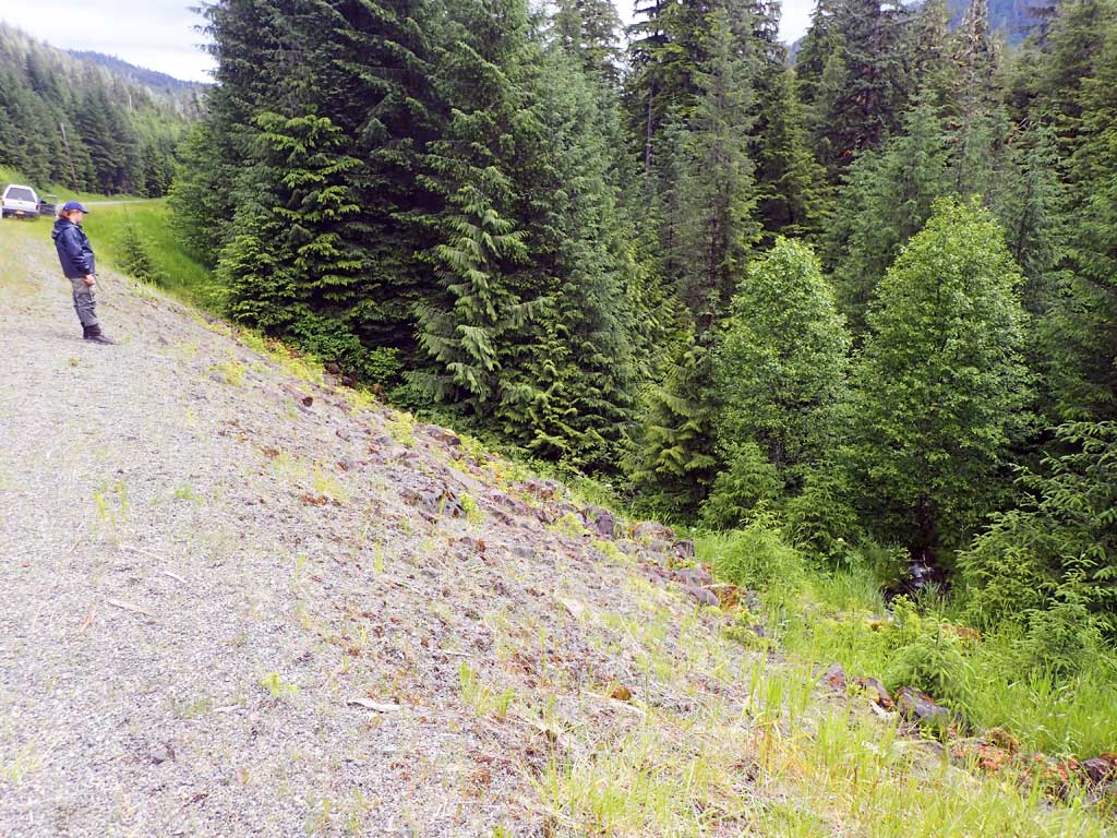
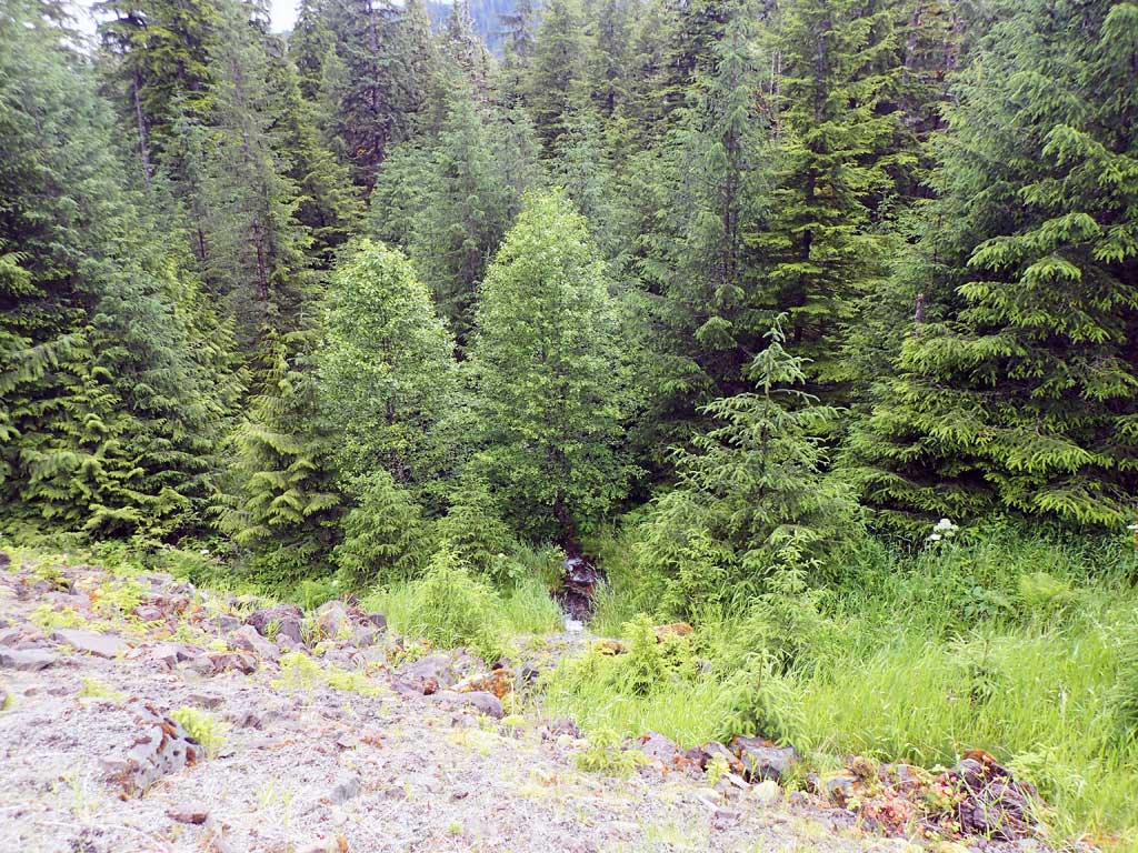
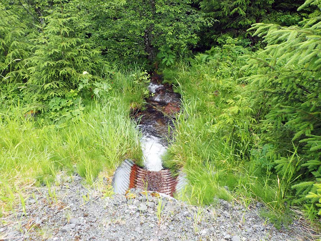
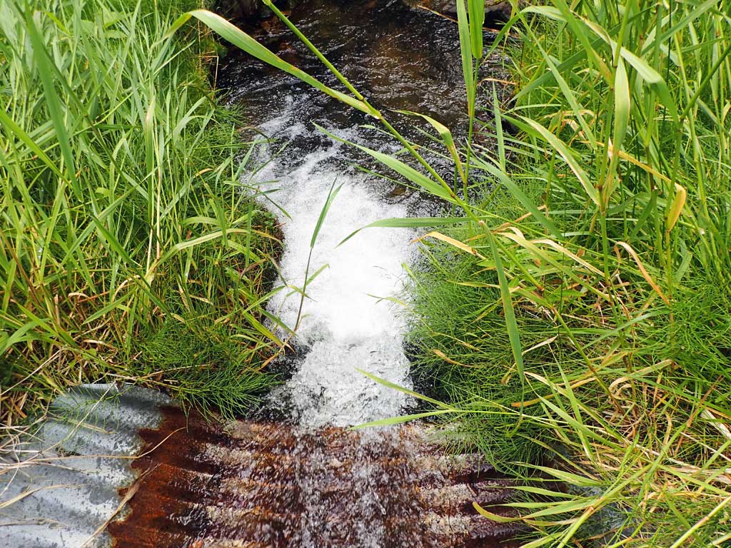
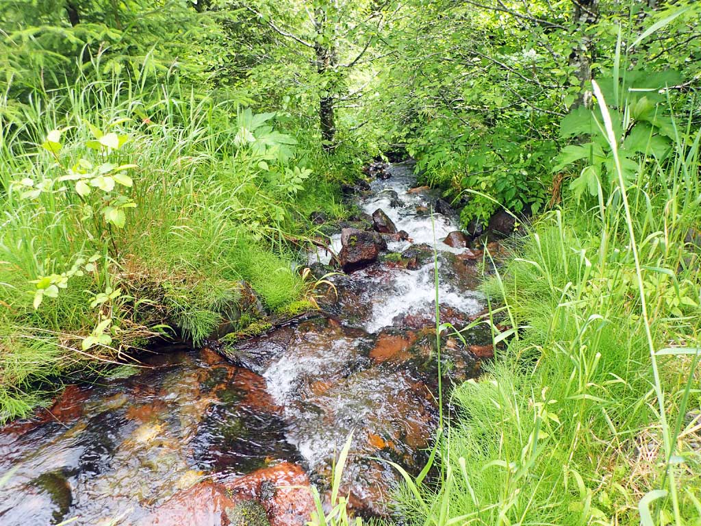
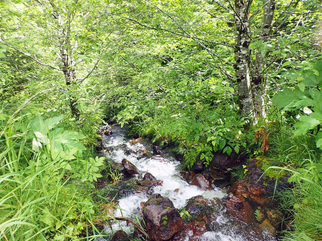
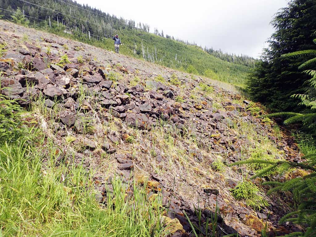
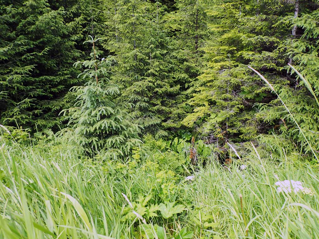
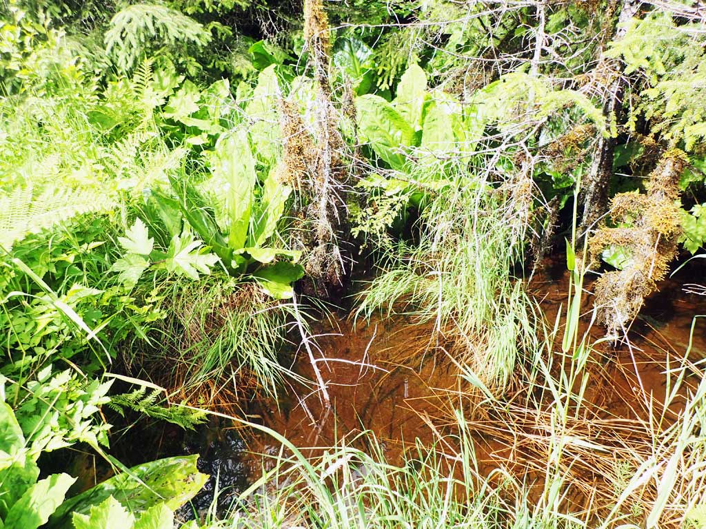
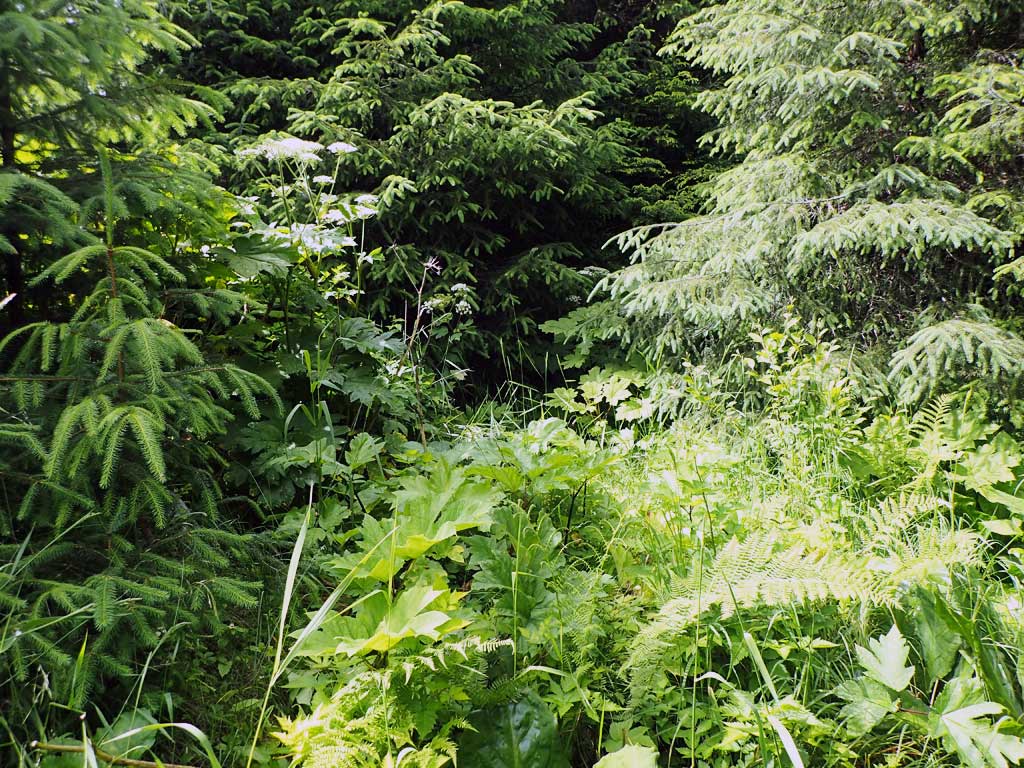
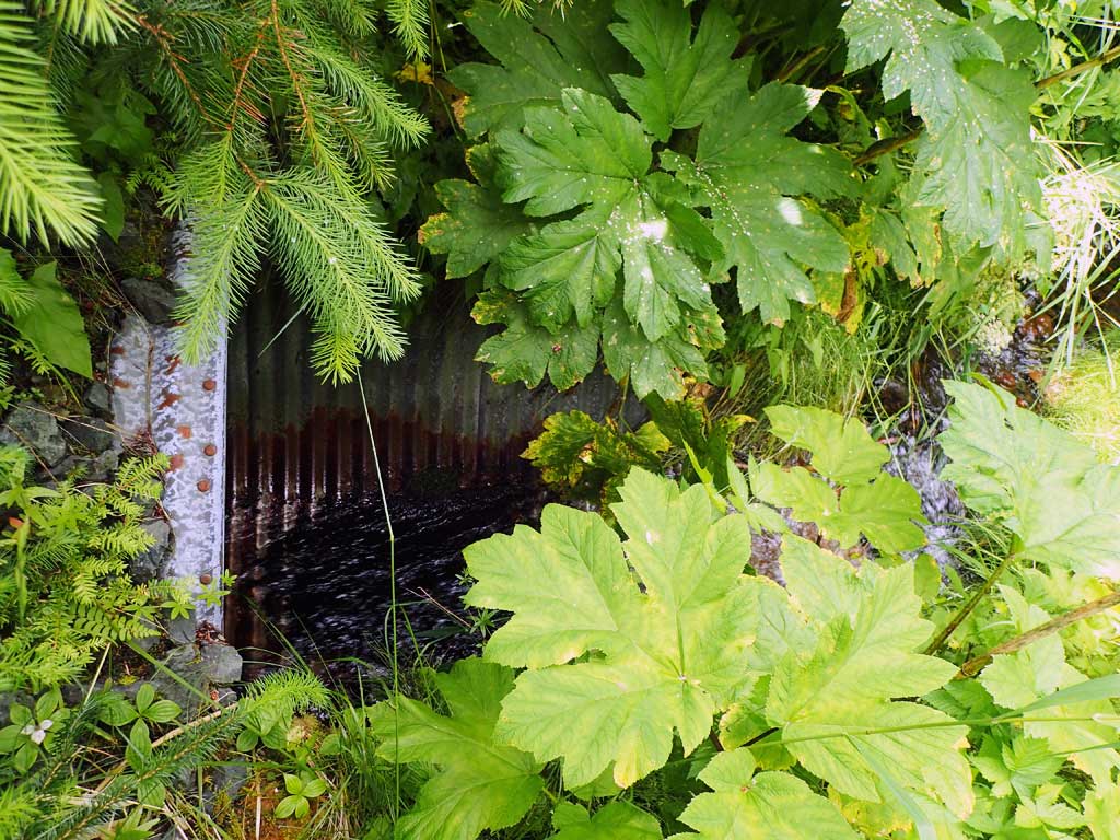
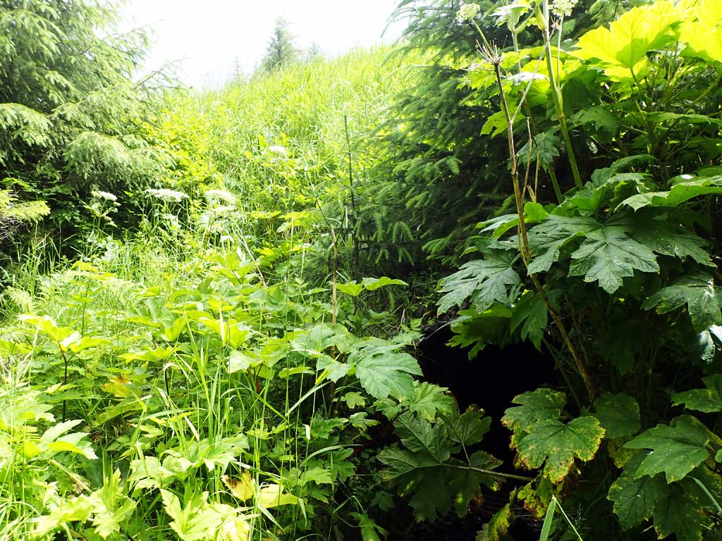
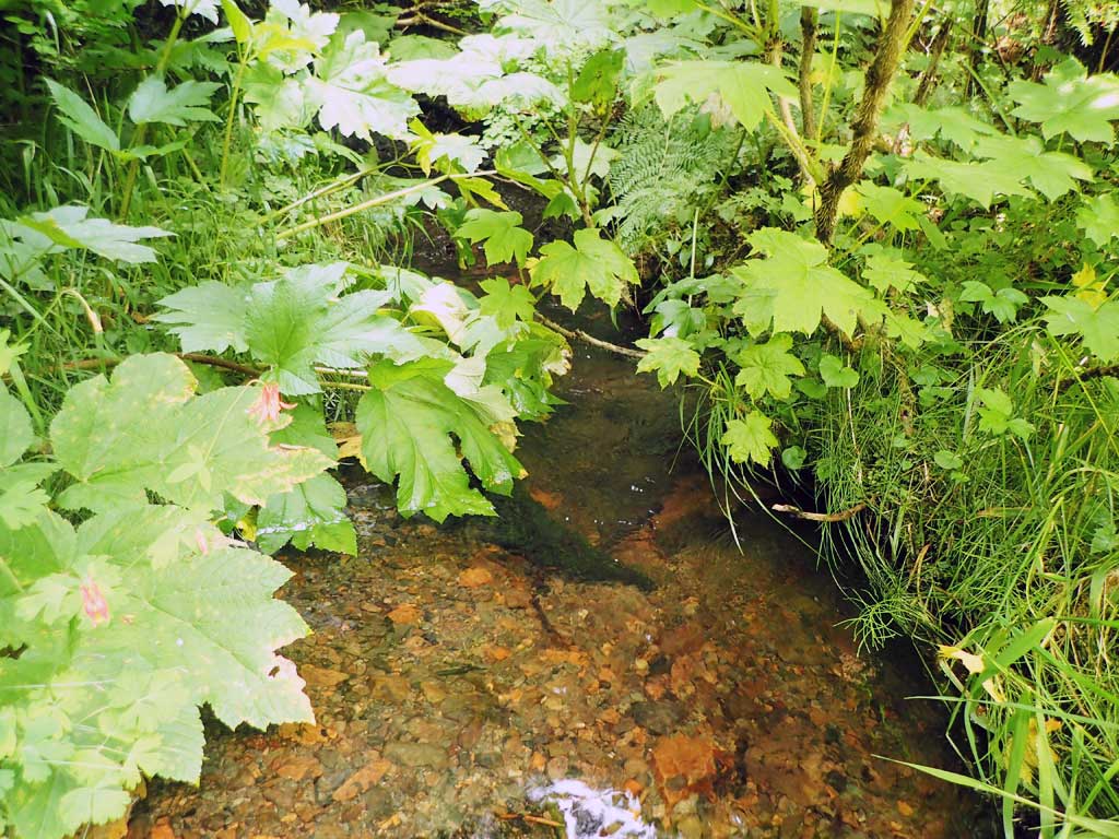
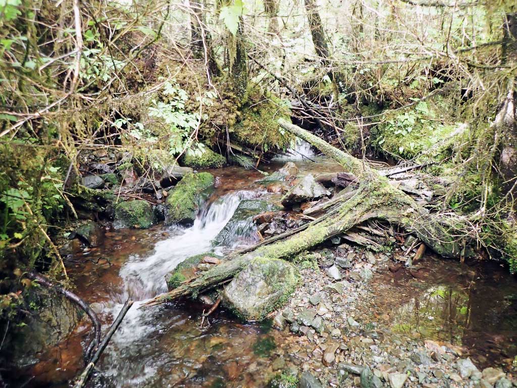
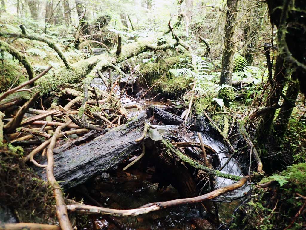
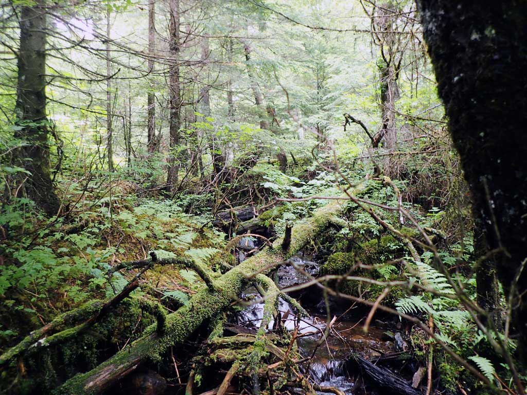
Comments: Upstream has some flow not going into culvert, pool off to side. Upstream has steep riffle cascades, some large woody debris. Downstream has steep riffle, disappears over edge of boulders and falls off over steep barrier. No survey due to steep riprap. Not much fill on culvert itself. No fish traps set.
Culvert Measurements
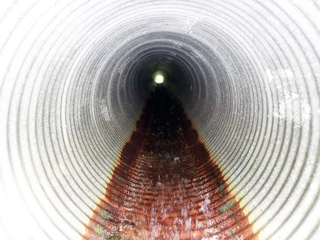
| ID: 1 | Structure Type: Circular pipe (Corrugated steel) | Fish Passage Rating: | |||||||||||||||||||||||||||||||||||||||||
|
|
|
|||||||||||||||||||||||||||||||||||||||||
Comments: Outfall height and outlet depth estimated from rod, not surveyed. Gradient estimated with rangefinder at over 4%. Possible alignment issue with water missing culvert at inlet. Outfall hieght greater than 1 foot. |
|||||||||||||||||||||||||||||||||||||||||||
Culvert Observations:
|
|||||||||||||||||||||||||||||||||||||||||||
Stream Measurements
|
|
| Stream Width Type | Distance From Crossing (ft) |
Stream Width (ft) |
|---|---|---|
| Upstream ordinary high water | 30.0 | 2.40 |
| Upstream ordinary high water | 90.0 | 4.50 |
| Upstream ordinary high water | 120.0 | 3.90 |
Elevations
No elevation data available.
Fish Sampling Efforts
No fish sampling occurred during this survey.
Fish Observations
No fish observations occurred during this survey.
Photos
Questions or comments about this report can be directed to dfg.dsf.webmaster@alaska.gov