Fish Passage Site 10103597
Coordinates (dec. deg.): 55.72565°, -132.94186°
Legal Description: C071S081E11
Region: Southeast
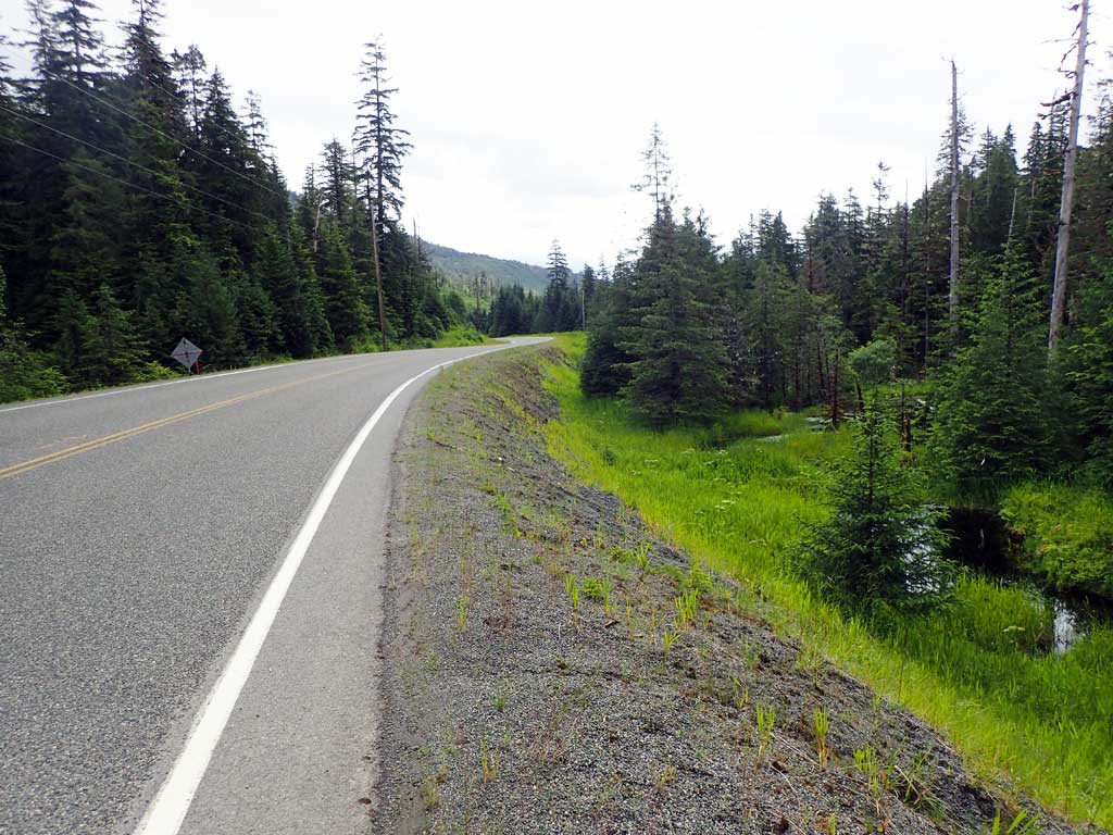
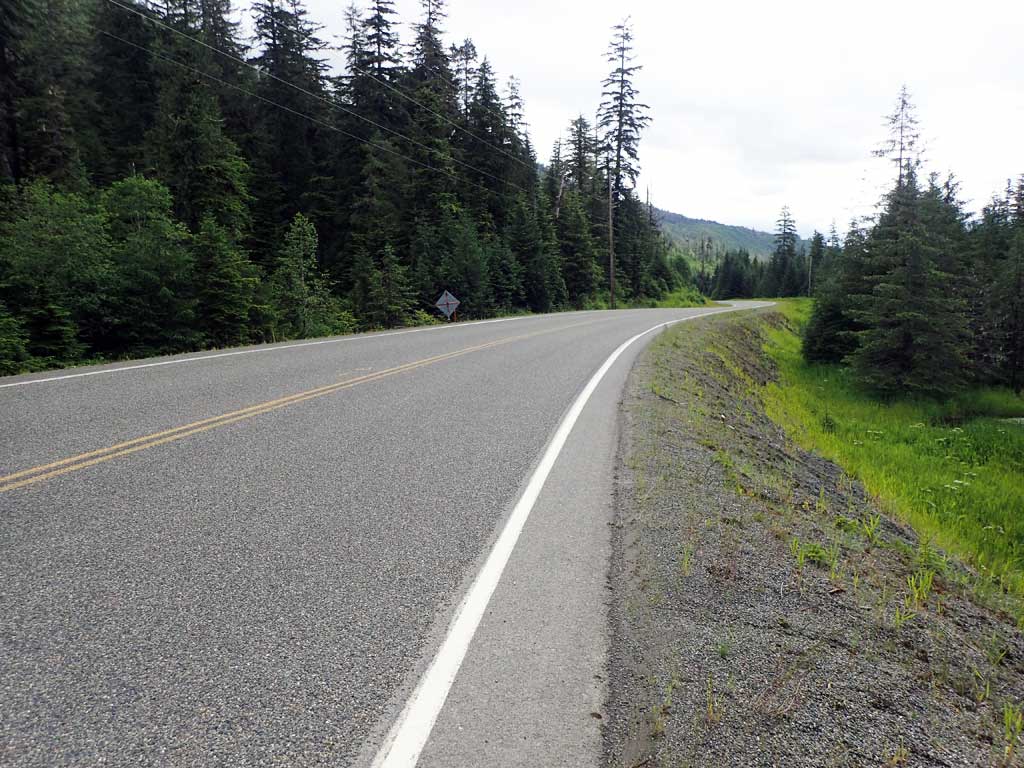
Road Name: North Prince of Wales Road
Datum: NAD83
Quad Name / ITM: Craig C-3
AWC Stream #:
Stream Name: Unnamed
Elevation:
Site Comments: None
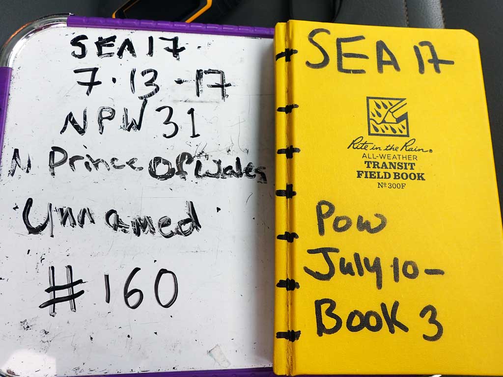
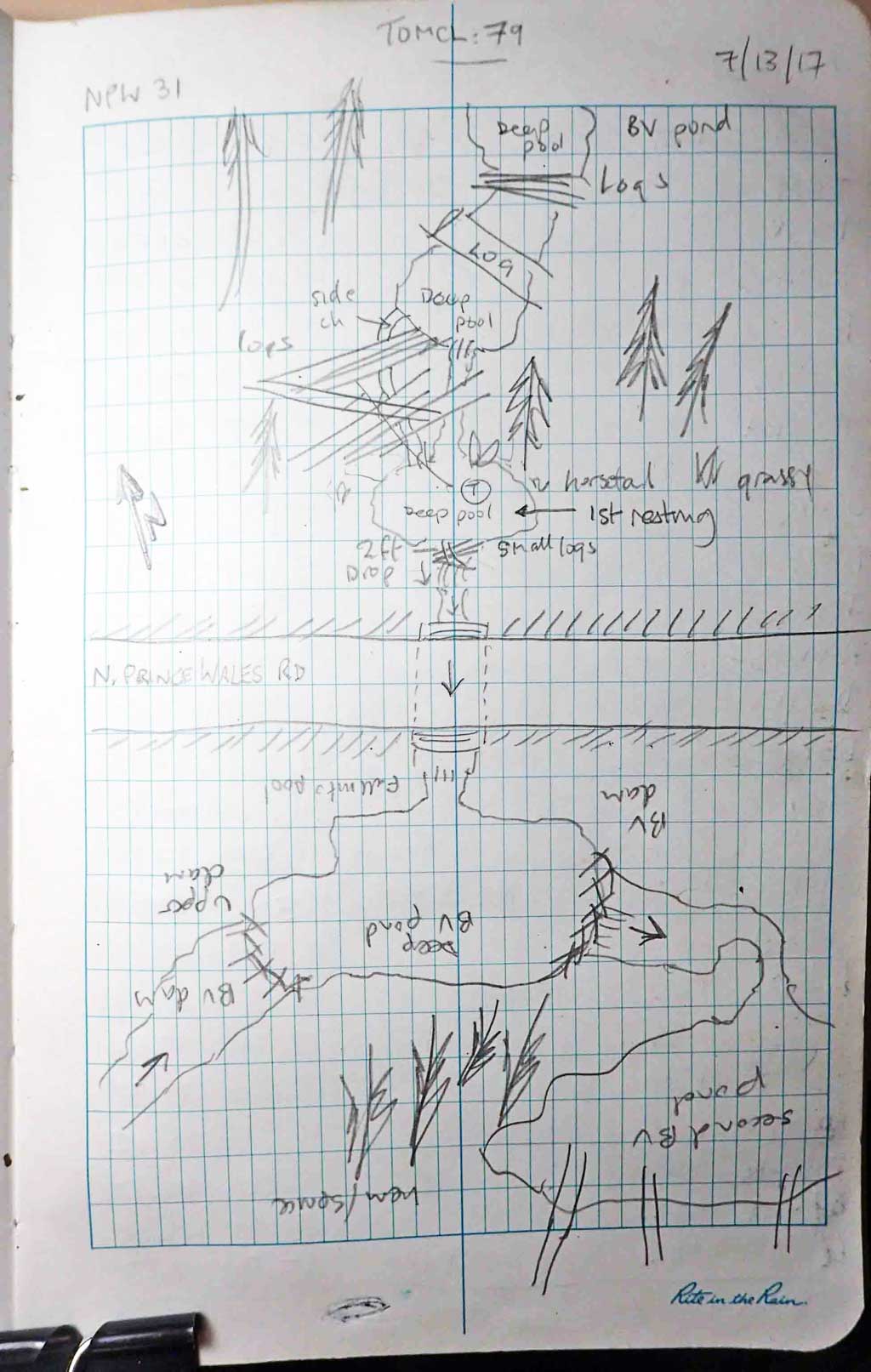
Survey SEA17-NPW31
Observers: Elizabeth Flory, Kelly Petty
Overall Fish Passage Rating:
Tidal: No
Backwatered: No
Step Pools: No
Construction Year:
Site Observations:
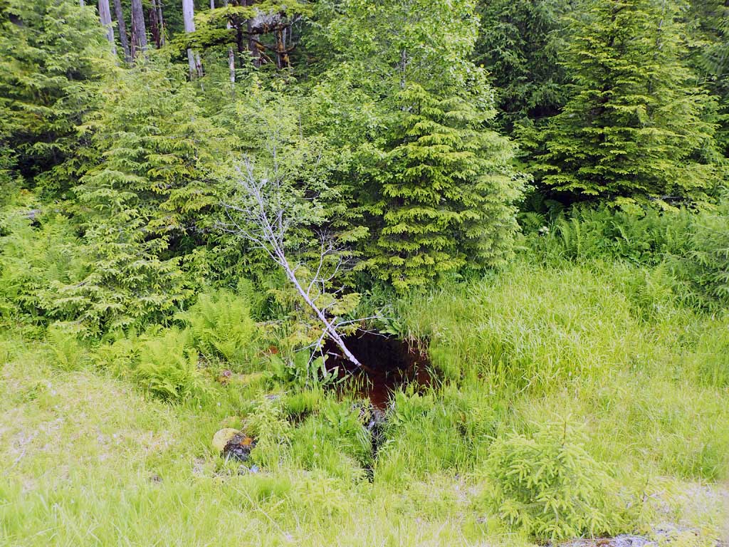
- Beaver Activity
- Constriction ratio gray
- Culvert gradient red
- Outfall height gray
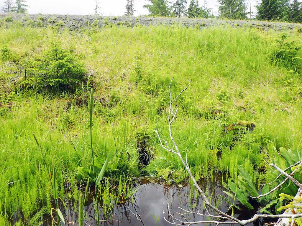
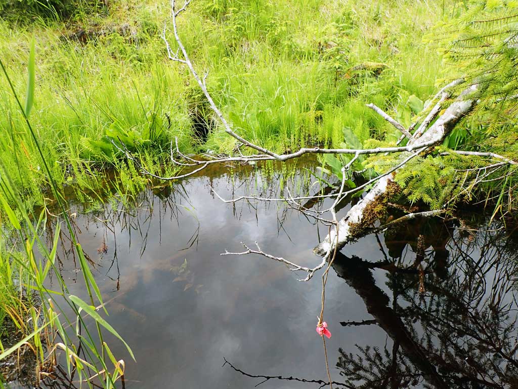
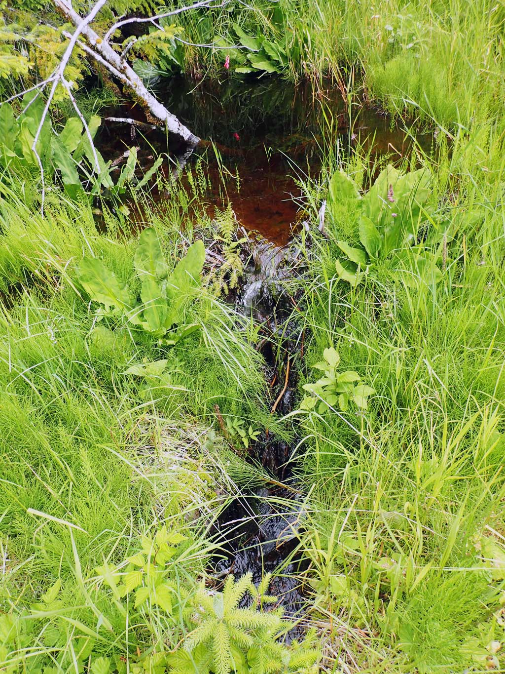
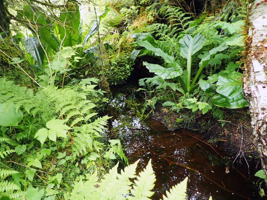
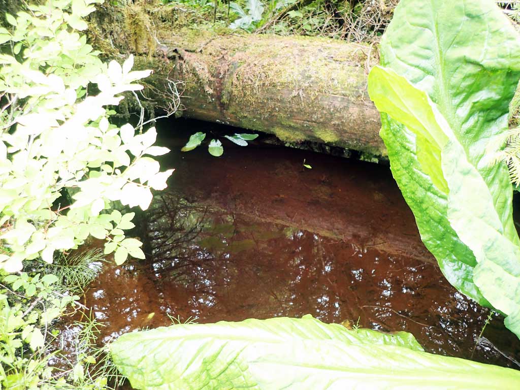
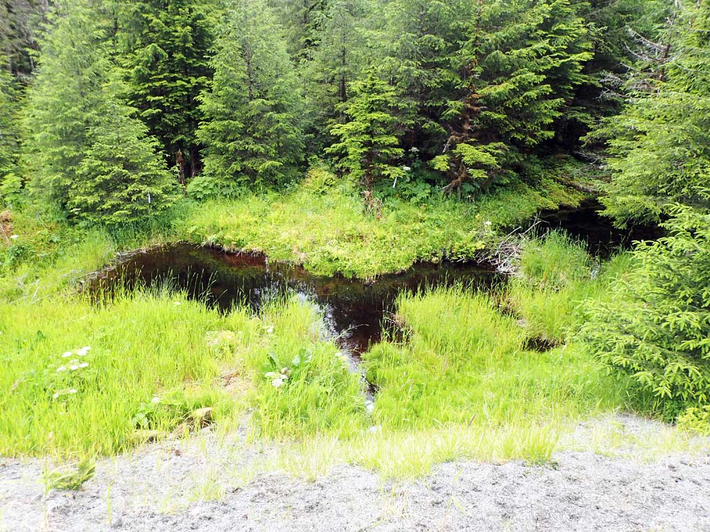
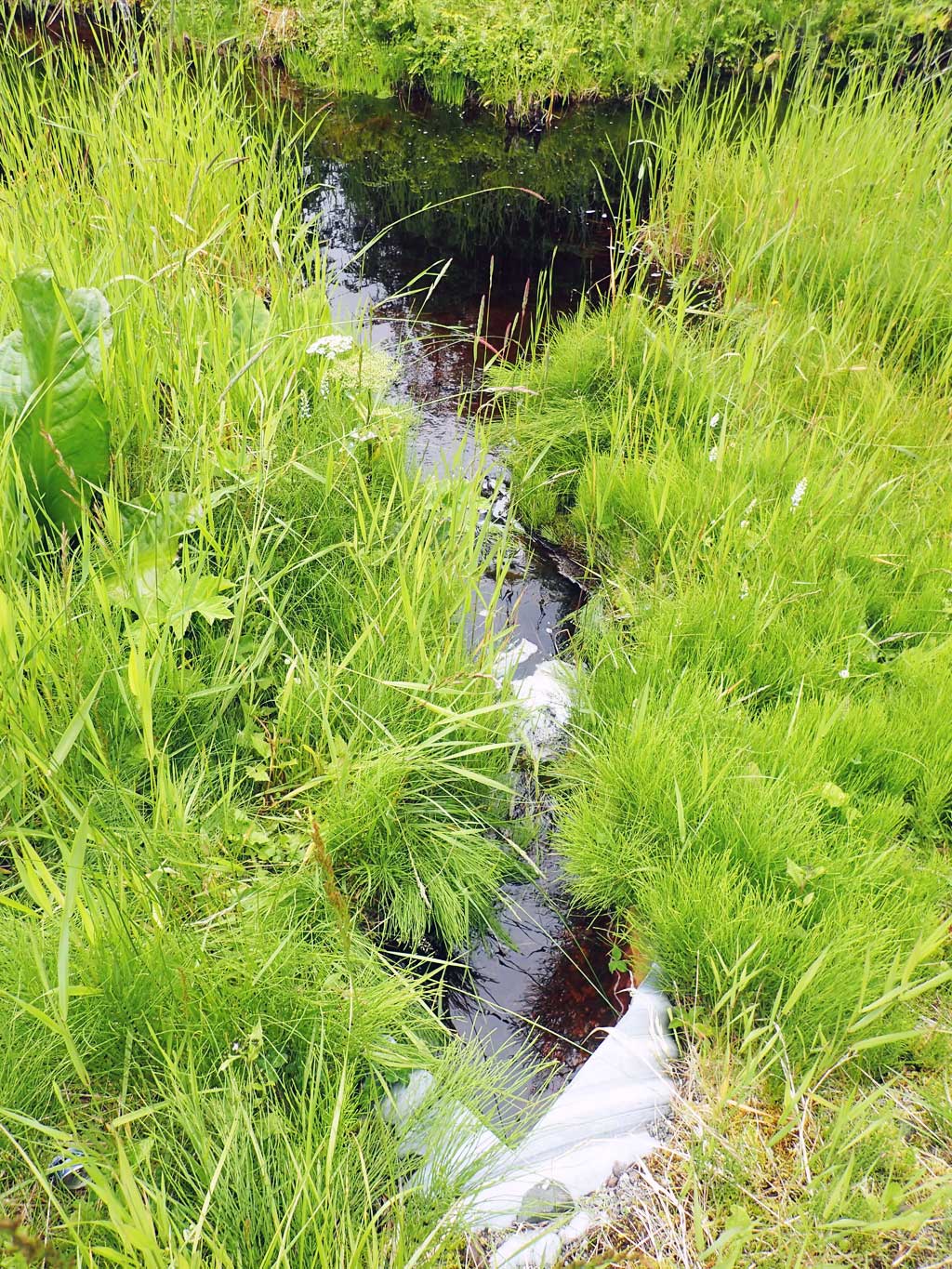
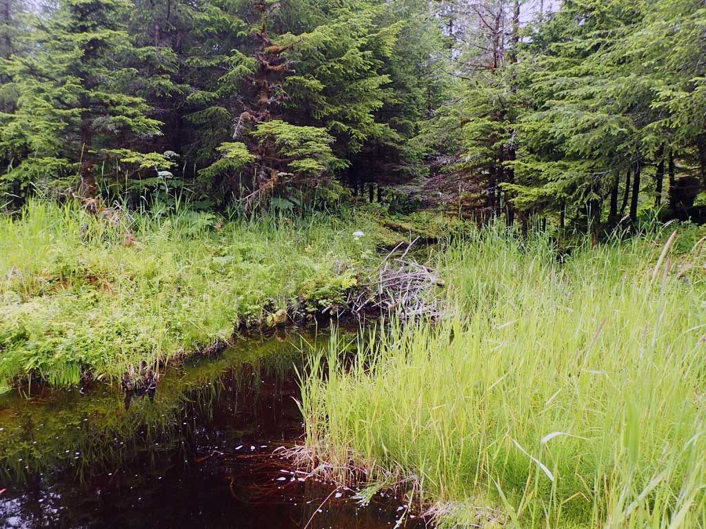
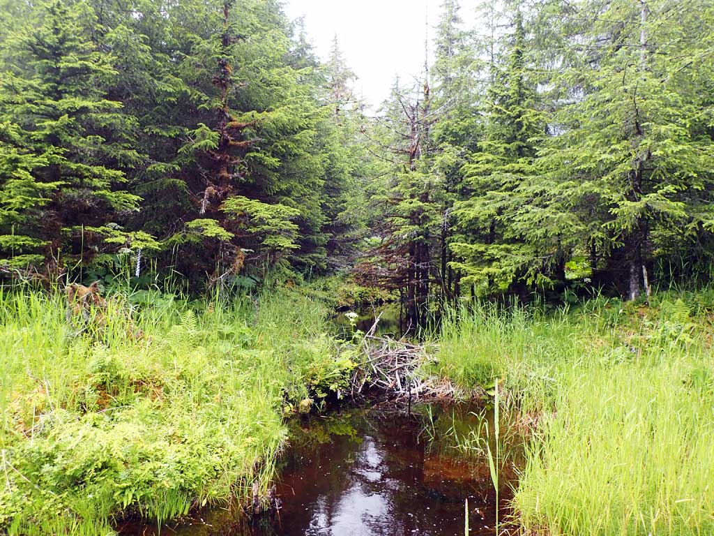
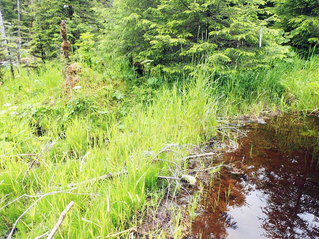
Comments: At 800ft road summit. Beaver ponds upstream and downstream. Outlet lies below small hump so water pooled in outlet. Inlet has pond 30ft from inlet. Only two width measurements taken due to ponds.
Culvert Measurements
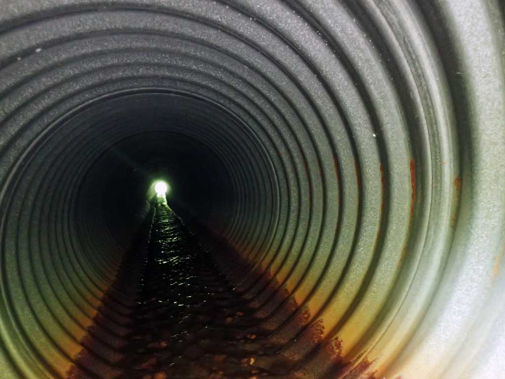
| ID: 1 | Structure Type: Circular pipe (Corrugated steel) | Fish Passage Rating: | |||||||||||||||||||||||||||||||||||||||||
|
|
|
|||||||||||||||||||||||||||||||||||||||||
Comments: Top of culvert length 79'. Slight hump at outlet likely buried beaver log, not enough to backwater. Outfall height from invert water surface to below log hump is 0.54ft. |
|||||||||||||||||||||||||||||||||||||||||||
Culvert Observations:
|
|||||||||||||||||||||||||||||||||||||||||||
Stream Measurements
|
|
| Stream Width Type | Distance From Crossing (ft) |
Stream Width (ft) |
|---|---|---|
| Upstream ordinary high water | 20.0 | 2.95 |
| Upstream ordinary high water | 30.0 | 3.69 |
Elevations
| Locator ID | Culvert Number |
River Distance (ft)1 |
Distance From Crossing (ft)2 |
Relative Elevation (ft) |
|---|---|---|---|---|
| Road Elev | 114.97 | |||
| D/S Grade Ctrl (Thalweg) | 0.00 | 91.89 | ||
| D/S Water Surface Elev | 0.00 | 92.96 | ||
| D/S Water Surface Elev | 13.00 | 98.19 | ||
| D/S Grade Ctrl (Thalweg) | 13.00 | 97.75 | ||
| D/S Water Surface Elev | 37.00 | 98.19 | ||
| D/S Grade Ctrl (Thalweg) (pool) | 37.00 | 94.46 | ||
| D/S Tailcrest or 1st Thalweg (rocks) | 46.00 | 97.15 | ||
| D/S Water Surface Elev | 46.00 | 97.25 | ||
| D/S Water Surface Elev | 47.00 | 97.30 | ||
| Max Pool Depth | 47.00 | 96.55 | ||
| D/S Water Surface Elev | 50.00 | 97.78 | ||
| D/S Grade Ctrl (Thalweg) (log hump) | 50.00 | 97.60 | ||
| D/S Water Surface Elev | 51.00 | 97.84 | ||
| Outlet Invert (on pipe) | 51.00 | 97.53 | ||
| Outlet Culvert Top | 53.00 | 100.00 | ||
| Inlet Culvert Top | 132.00 | 101.41 | ||
| Inlet Culvert Invert (on pipe) | 134.00 | 99.44 | ||
| U/S Water Surface Elev | 134.00 | 99.48 | ||
| U/S Grade Ctrl (Thalweg) (on logs) | 138.00 | 101.79 | ||
| U/S Water Surface Elev | 138.00 | 102.02 | ||
| U/S Water Surface Elev | 149.00 | 102.08 | ||
| U/S Grade Ctrl (Thalweg) | 149.00 | 102.58 |
Notes:
- River distance is measured continuously throughout the survey reach along the thalweg of the stream.
- Measured from each end of the crossing along the thalweg of the stream.
Fish Sampling Efforts
| Gear Type: Minnow Trap (A) | Trap Duration(h): 1.5 | |
| Comments: no fish | ||
| Gear Type: Minnow Trap (B) | Trap Duration(h): 1.5 | |
| Comments: no fish | ||
Fish Observations
No fish observations occurred during this survey.
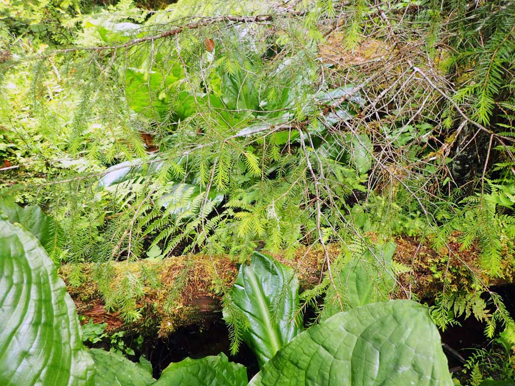
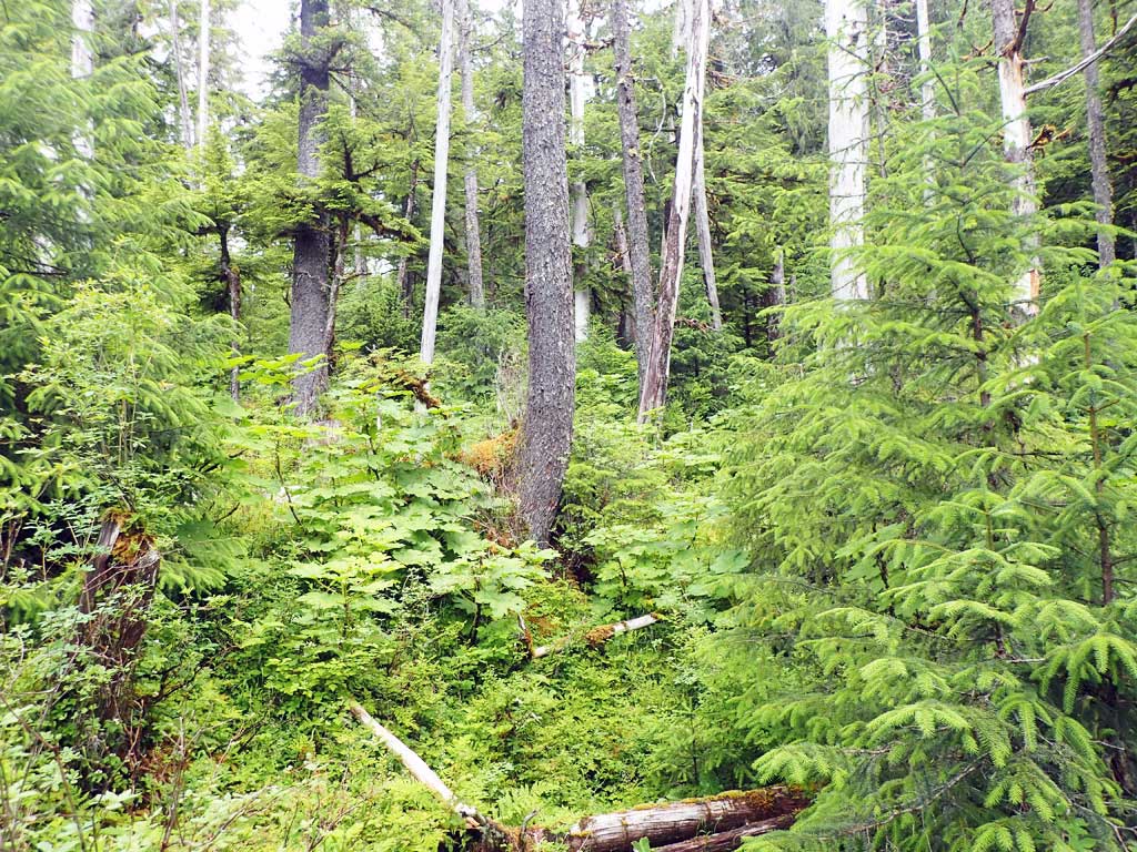
Photos


Questions or comments about this report can be directed to dfg.dsf.webmaster@alaska.gov