Fish Passage Site 10103596
Coordinates (dec. deg.): 55.72612°, -132.94298°
Legal Description: C071S081E11
Region: Southeast
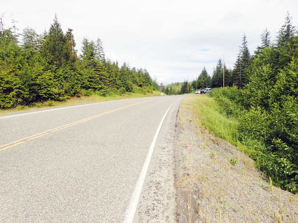
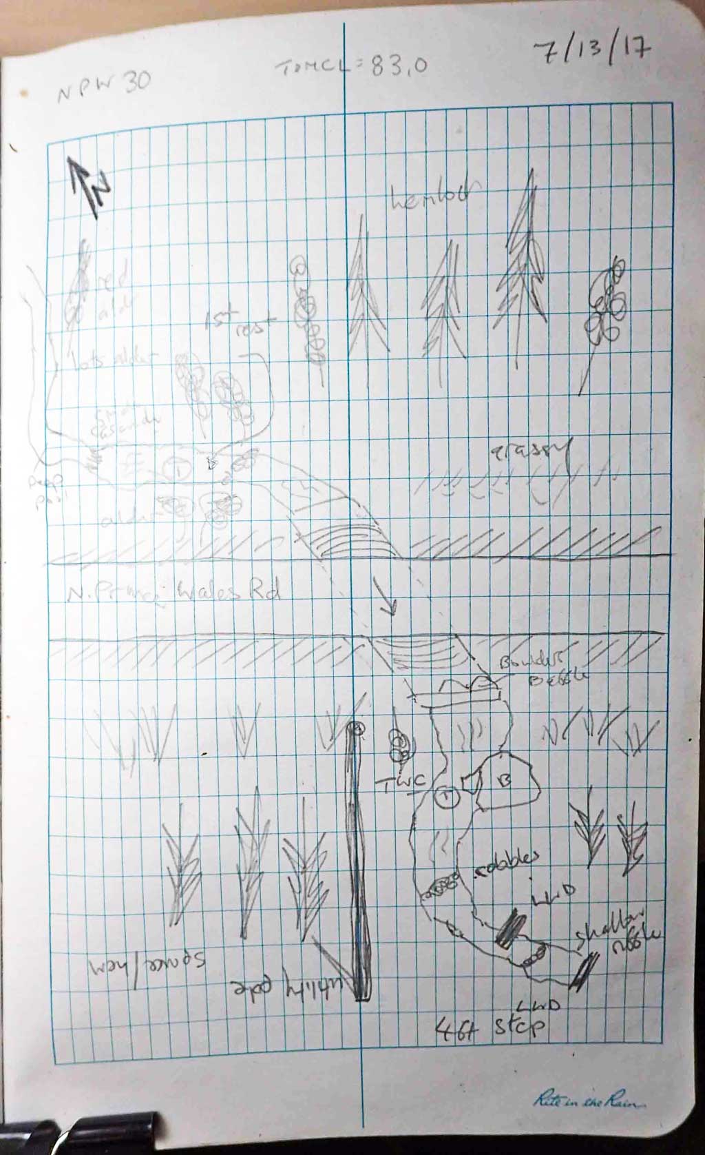
Road Name: North Prince of Wales Road
Datum: NAD83
Quad Name / ITM: Craig C-3
AWC Stream #:
Stream Name: Unnamed
Elevation:
Site Comments: None
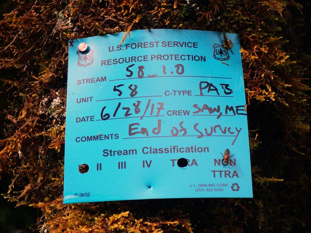
Survey SEA17-NPW30
Observers: Elizabeth Flory, Kelly Petty
Overall Fish Passage Rating:
Tidal: No
Backwatered: No
Step Pools: No
Construction Year:
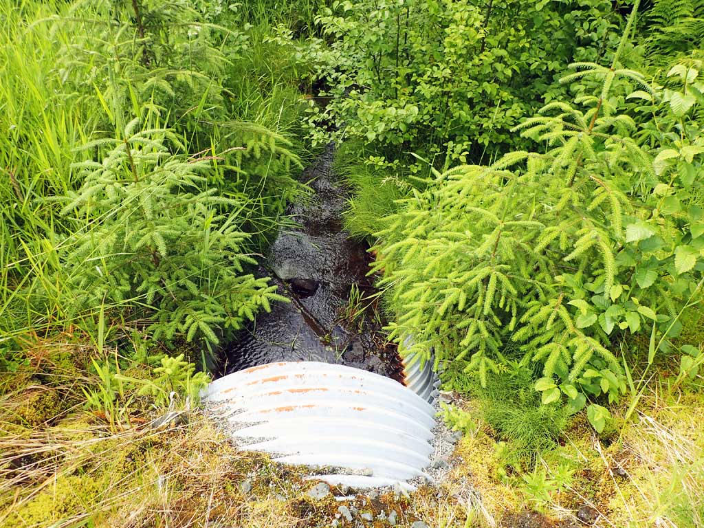
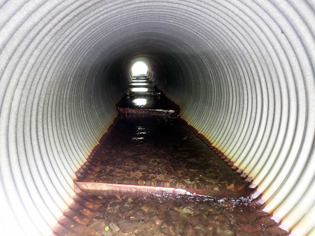
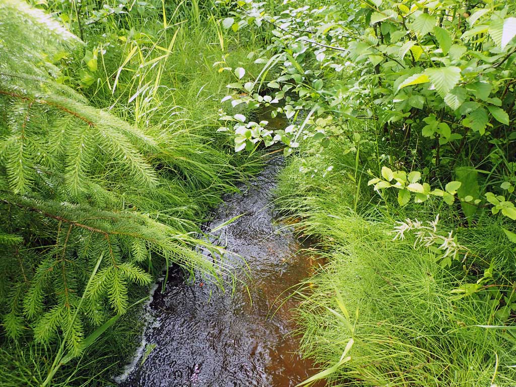
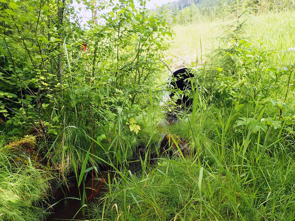
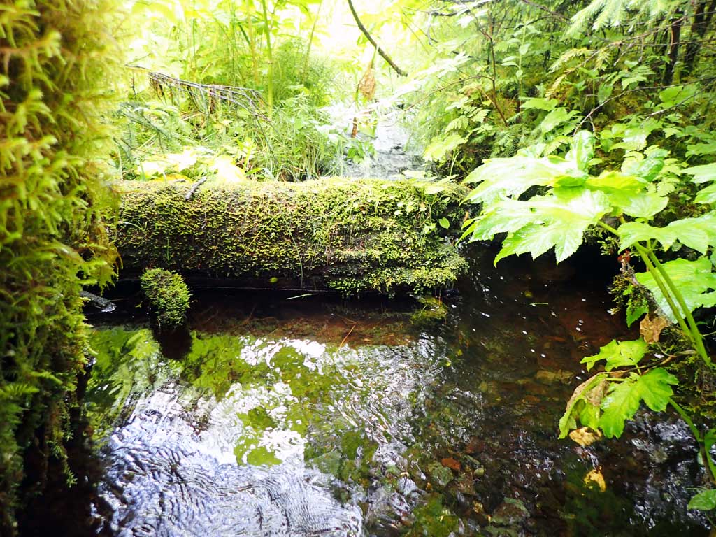
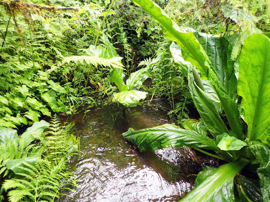
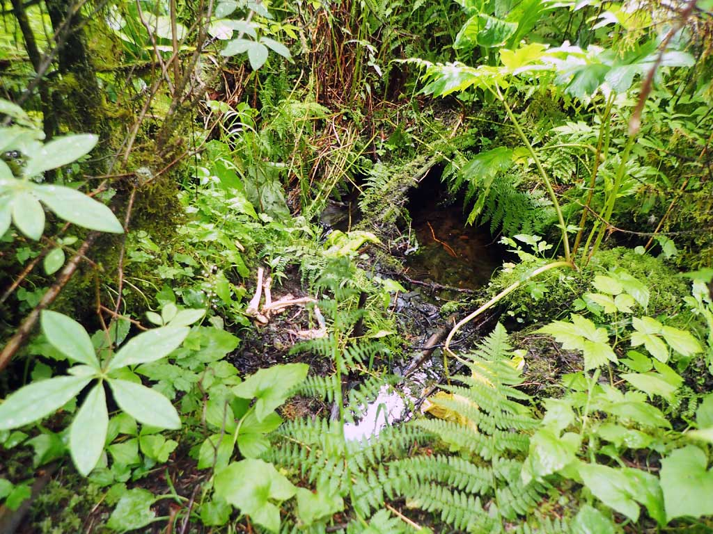
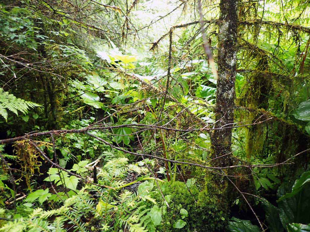
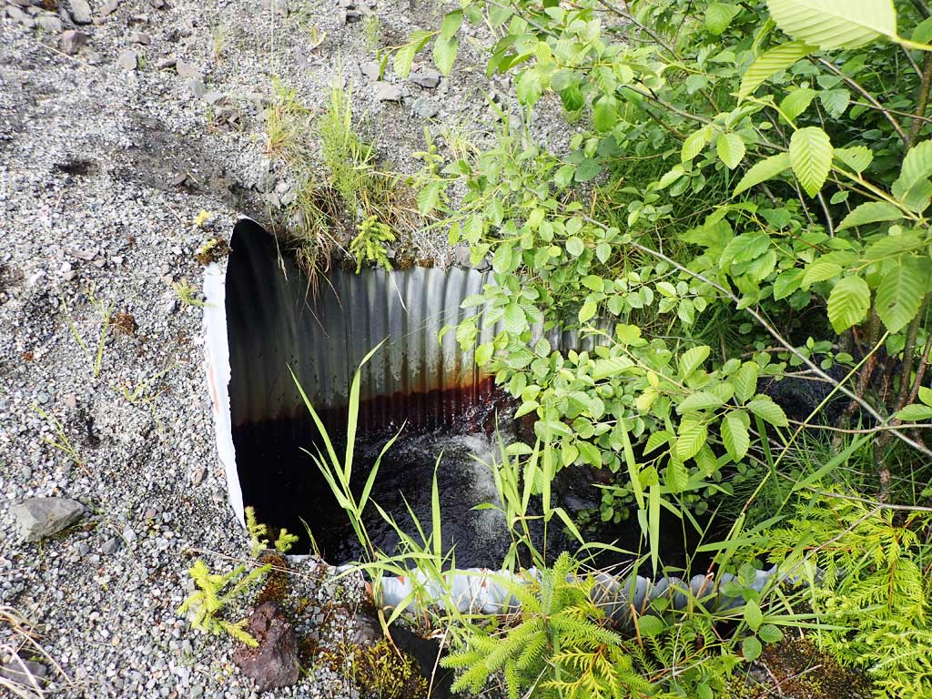
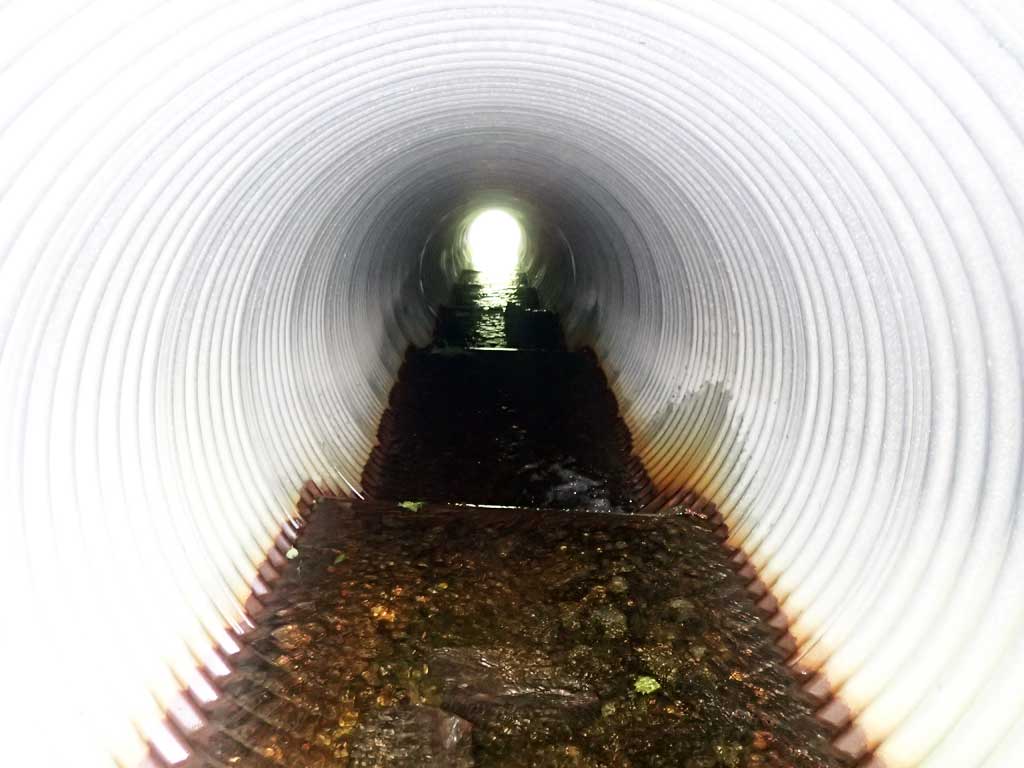
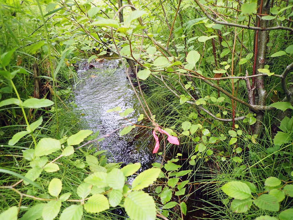
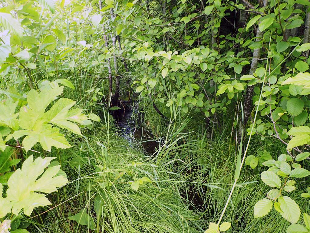
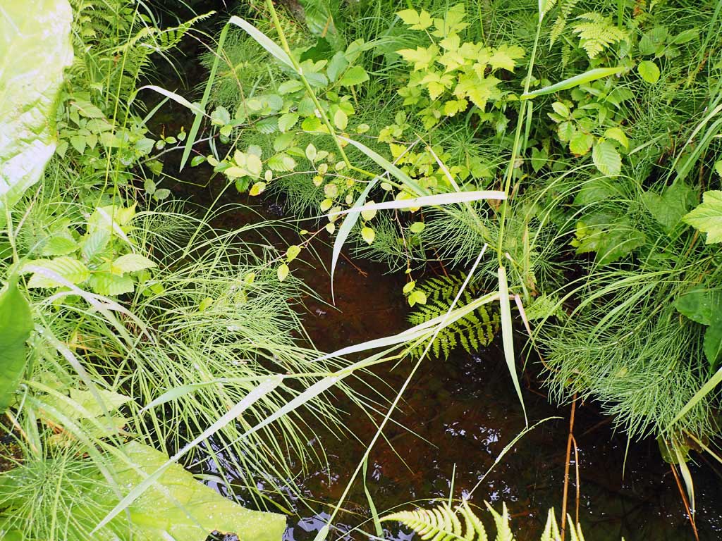
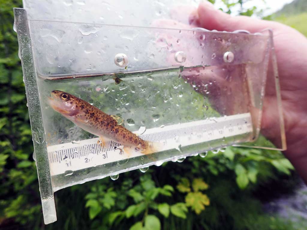
Comments: At 800ft summit of road. Upstream has fast riffles with a few pools, no large woody debris. Downstream has a 4ft high step over logs 50ft from outlet then very brushy. Cutthroat trout in downstream trap plus another larger fish observed in same pool.
Culvert Measurements
| ID: 1 | Structure Type: Circular pipe (Corrugated steel) | Fish Passage Rating: | |||||||||||||||||||||||||||||||||||||||||
|
|
|
|||||||||||||||||||||||||||||||||||||||||
Comments: Top of culvert length 83'. |
|||||||||||||||||||||||||||||||||||||||||||
Stream Measurements
|
|
| Stream Width Type | Distance From Crossing (ft) |
Stream Width (ft) |
|---|---|---|
| Upstream ordinary high water | 30.0 | 2.00 |
| Upstream ordinary high water | 60.0 | 1.50 |
| Upstream ordinary high water | 90.0 | 1.90 |
Elevations
| Locator ID | Culvert Number |
River Distance (ft)1 |
Distance From Crossing (ft)2 |
Relative Elevation (ft) |
|---|---|---|---|---|
| Road Elev | 105.21 | |||
| D/S Grade Ctrl (Thalweg) | 0.00 | 89.47 | ||
| D/S Water Surface Elev | 0.00 | 91.10 | ||
| D/S Water Surface Elev | 23.00 | 91.93 | ||
| D/S Tailcrest or 1st Thalweg | 23.00 | 91.52 | ||
| D/S Water Surface Elev | 26.00 | 91.80 | ||
| Max Pool Depth | 26.00 | 91.06 | ||
| Outlet Invert (end of mitre) | 37.00 | 91.45 | ||
| D/S Water Surface Elev | 37.00 | 91.83 | ||
| D/S Grade Ctrl (Thalweg) (top of baffle) | 39.00 | 92.09 | ||
| D/S Water Surface Elev | 39.00 | 92.34 | ||
| Outlet Culvert Top | 46.00 | 96.49 | ||
| Inlet Culvert Top | 129.00 | 100.00 | ||
| Inlet Culvert Invert (end of mitre) | 138.00 | 95.90 | ||
| U/S Water Surface Elev | 138.00 | 96.13 | ||
| U/S Water Surface Elev | 144.00 | 96.30 | ||
| U/S Grade Ctrl (Thalweg) | 144.00 | 96.04 | ||
| U/S Grade Ctrl (Thalweg) | 175.00 | 97.01 | ||
| U/S Water Surface Elev | 175.00 | 97.40 | ||
| U/S Water Surface Elev | 181.00 | 97.53 | ||
| U/S Grade Ctrl (Thalweg) | 181.00 | 96.70 | ||
| U/S Grade Ctrl (Thalweg) | 208.00 | 98.30 | ||
| U/S Water Surface Elev | 208.00 | 98.83 |
Notes:
- River distance is measured continuously throughout the survey reach along the thalweg of the stream.
- Measured from each end of the crossing along the thalweg of the stream.
Fish Sampling Efforts
| Gear Type: Minnow Trap (A) | Trap Duration(h): 2.0 | |
| Comments: 20ft upstream, no fish | ||
| Gear Type: Minnow Trap (B) | Trap Duration(h): 2.0 | |
| Comments: 20ft downstream, 1 rainbow | ||
| Gear Type: Visual Observation, Ground (C) | ||
| Comments: Unidentified fish observed near trap. | ||
Fish Observations
| Species: juvenile cutthroat trout | Life History: | ||
| Total Fish Observed: 1 | Fish Measured: 1 | Fork Lengths (mm) Min: 72 Max: 72 Mean: 72 | |
| Collected/Observed by Gear Type: Downstream Minnow Trap (1) | |||
Photos


Questions or comments about this report can be directed to dfg.dsf.webmaster@alaska.gov