Fish Passage Site 10103595
Coordinates (dec. deg.): 55.72816°, -132.95438°
Legal Description: C071S081E11
Region: Southeast
Road Name: North Prince of Wales Road
Datum: NAD83
Quad Name / ITM: Craig C-3
AWC Stream #:
Stream Name: Unnamed
Elevation:
Site Comments: Near MP 21.
Survey SEA17-NPW29
Observers: Elizabeth Flory, Kelly Petty
Overall Fish Passage Rating:
Tidal: No
Backwatered: No
Step Pools: No
Construction Year:
Site Observations:
- Outfall height red
- Culvert gradient red
- Constriction ratio gray
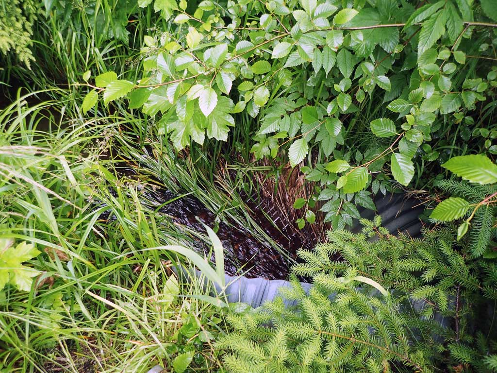
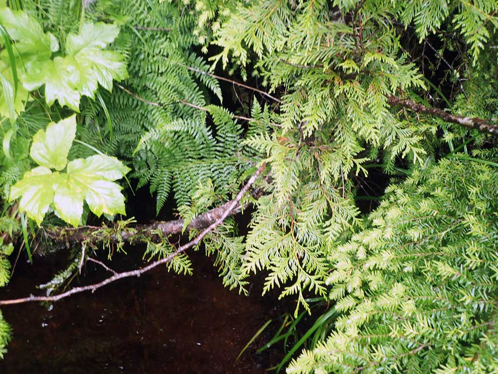
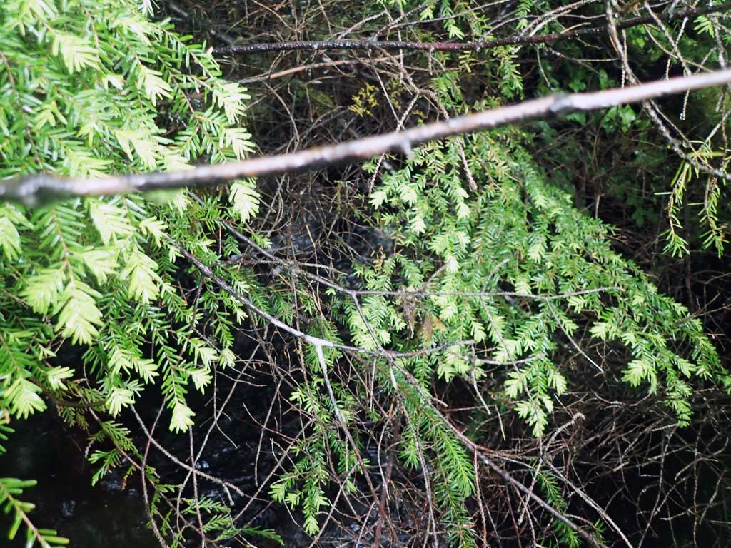
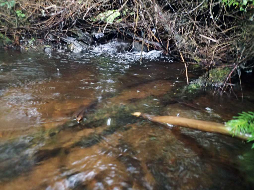
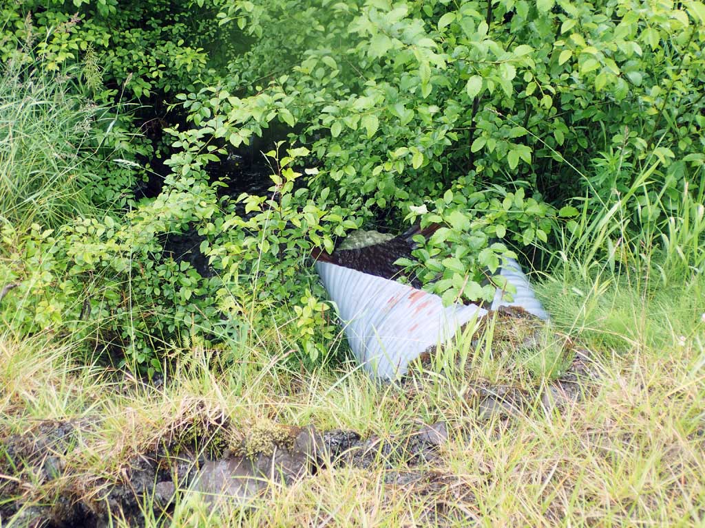
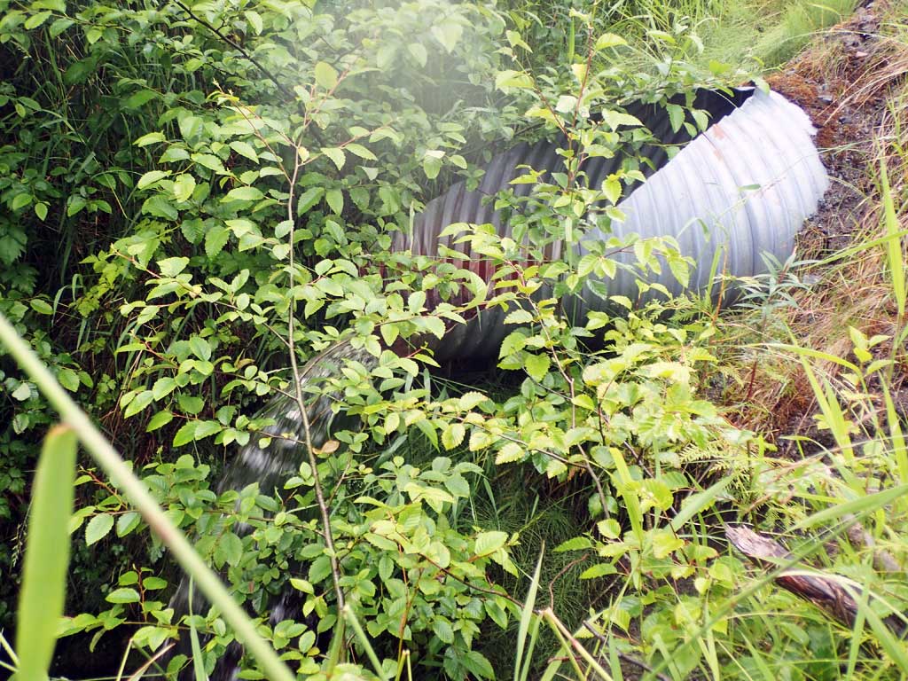
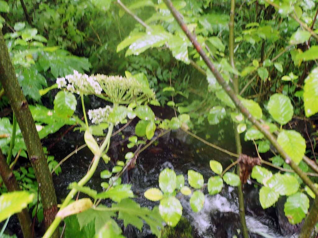
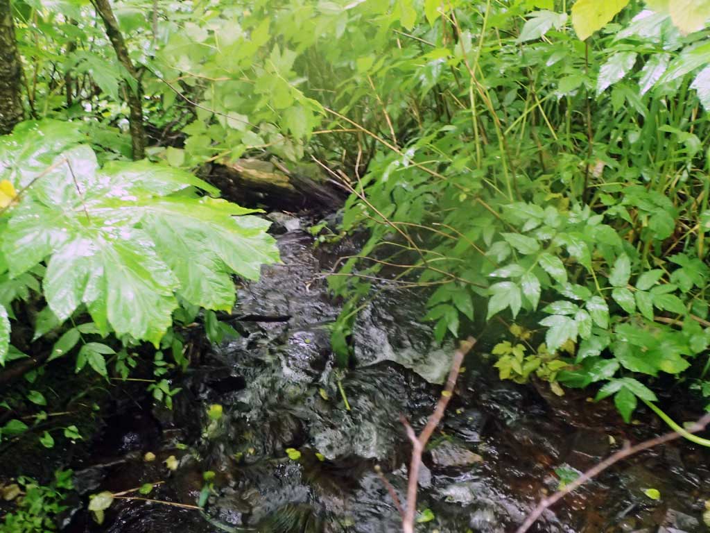
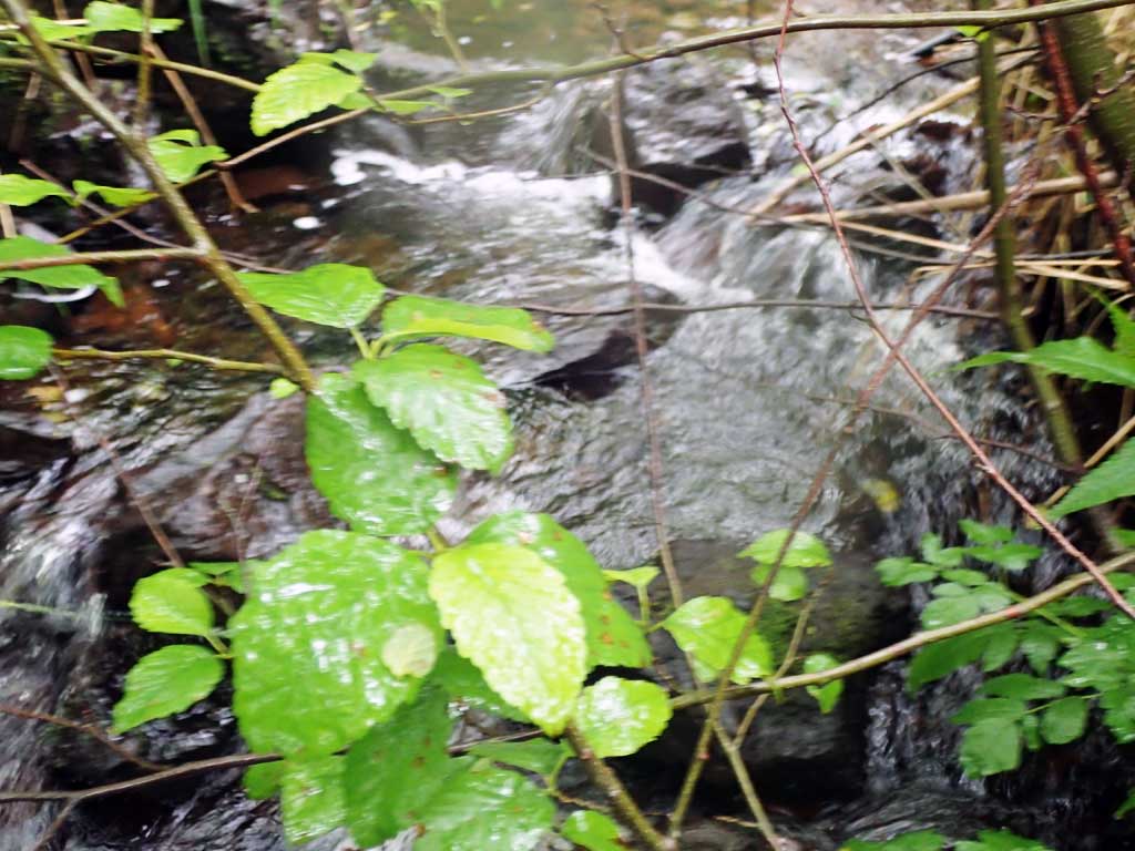
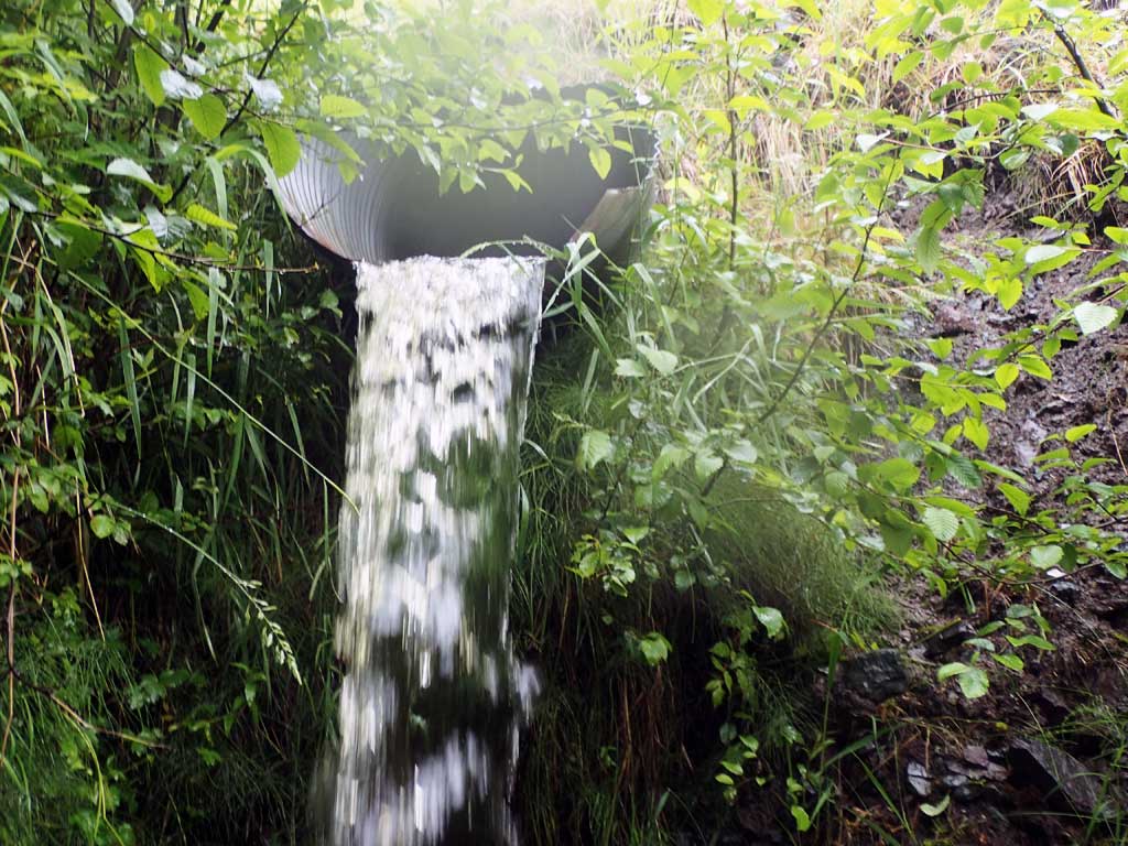
Comments: Downstream steep, about 20% grade after plunge pool. Big drop from outfall to plunge pool. Plunge pool 1.75ft deep. Banking/roadfill giving way around outlet, dangerous. Upstream has steep riffle under old logs and some bedrock steps. Bedrock control.
Culvert Measurements
| ID: 1 | Structure Type: Circular pipe (Corrugated steel) | Fish Passage Rating: | |||||||||||||||||||||||||||||||||||||||||
|
|
|
|||||||||||||||||||||||||||||||||||||||||
Comments: Culvert length is to top of mitre measured across road. Top of culvert length 80'. |
|||||||||||||||||||||||||||||||||||||||||||
Culvert Observations:
|
|||||||||||||||||||||||||||||||||||||||||||
Stream Measurements
|
|
| Stream Width Type | Distance From Crossing (ft) |
Stream Width (ft) |
|---|---|---|
| Upstream ordinary high water | 70.0 | 5.00 |
| Upstream ordinary high water | 80.0 | 4.00 |
| Upstream ordinary high water | 100.0 | 3.75 |
Elevations
| Locator ID | Culvert Number |
River Distance (ft)1 |
Distance From Crossing (ft)2 |
Relative Elevation (ft) |
|---|---|---|---|---|
| Road Elev | 101.30 | |||
| D/S Grade Ctrl (Thalweg) | 0.00 | 83.37 | ||
| D/S Water Surface Elev | 0.00 | 83.69 | ||
| D/S Tailcrest or 1st Thalweg | 4.00 | 83.96 | ||
| D/S Water Surface Elev | 4.00 | 84.15 | ||
| D/S Water Surface Elev | 5.00 | 83.83 | ||
| Max Pool Depth | 5.00 | 82.09 | ||
| Outlet Invert (on pipe) | 18.00 | 91.19 | ||
| D/S Water Surface Elev | 18.00 | 91.35 | ||
| Outlet Culvert Top | 22.00 | 94.53 | ||
| Inlet Culvert Top | 102.00 | 96.85 | ||
| Inlet Culvert Invert (on pipe) | 106.00 | 93.92 | ||
| U/S Water Surface Elev | 106.00 | 94.12 | ||
| U/S Water Surface Elev | 112.00 | 94.30 | ||
| U/S Grade Ctrl (Thalweg) (pool) | 112.00 | 93.13 |
Notes:
- River distance is measured continuously throughout the survey reach along the thalweg of the stream.
- Measured from each end of the crossing along the thalweg of the stream.
Fish Sampling Efforts
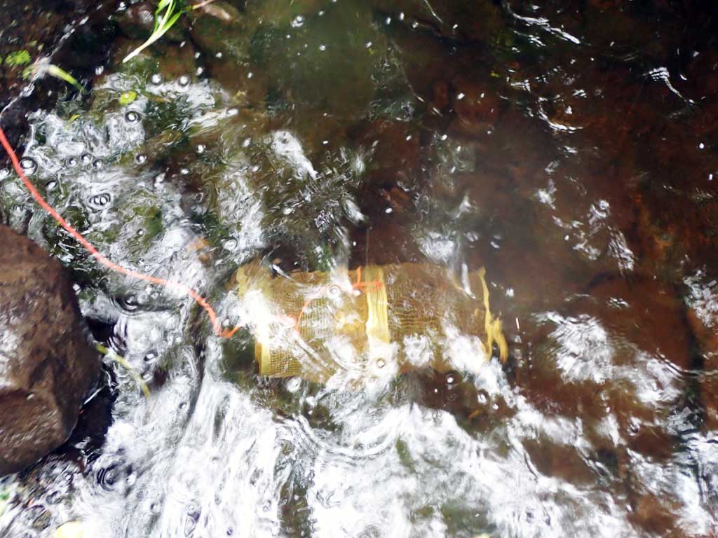
| Gear Type: Minnow Trap (A) | Trap Duration(h): 2.0 | |
| Comments: 10ft upstream, no fish | ||
| Gear Type: Minnow Trap (B) | Trap Duration(h): 2.0 | |
| Comments: 20ft downstream, no fish | ||
Fish Observations
No fish observations occurred during this survey.
Photos


Questions or comments about this report can be directed to dfg.dsf.webmaster@alaska.gov