Fish Passage Site 10103594
Coordinates (dec. deg.): 55.73275°, -132.96654°
Legal Description: C071S081E10
Region: Southeast
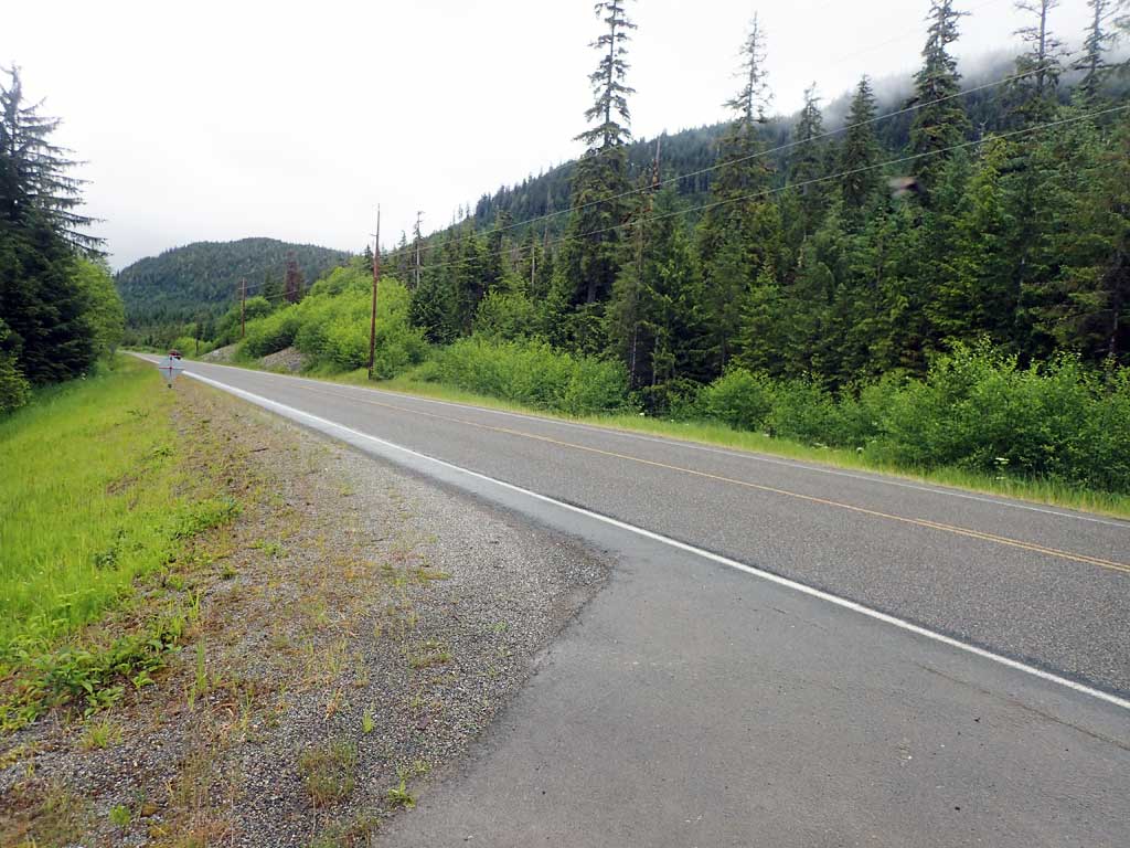
Road Name: North Prince of Wales Road
Datum: NAD83
Quad Name / ITM: Craig C-3
AWC Stream #:
Stream Name: Unnamed
Elevation:
Site Comments: None
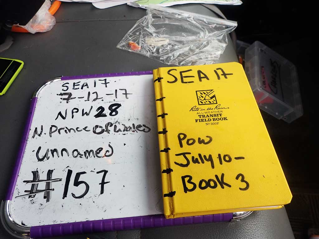
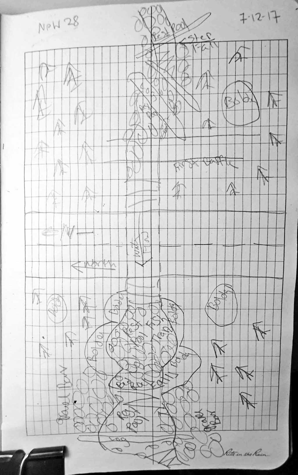
Survey SEA17-NPW28
Observers: Elizabeth Flory, Kelly Petty
Overall Fish Passage Rating:
Tidal: No
Backwatered: No
Step Pools: No
Construction Year:
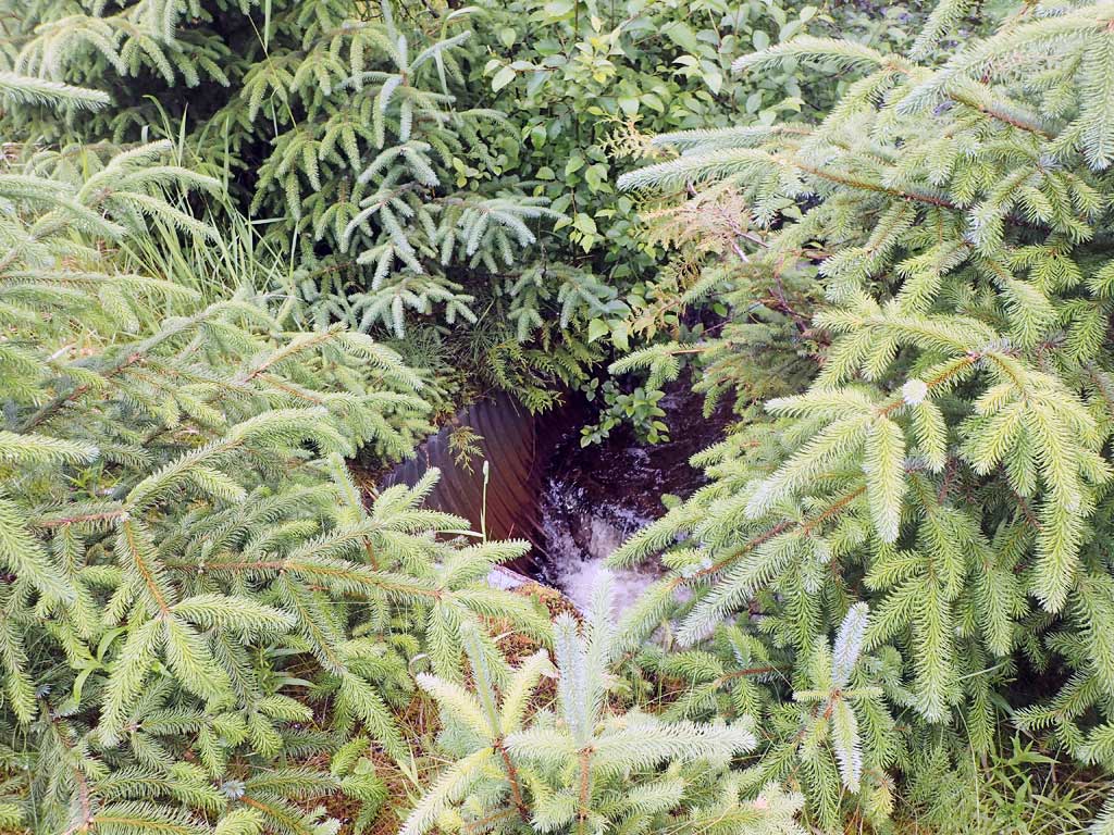
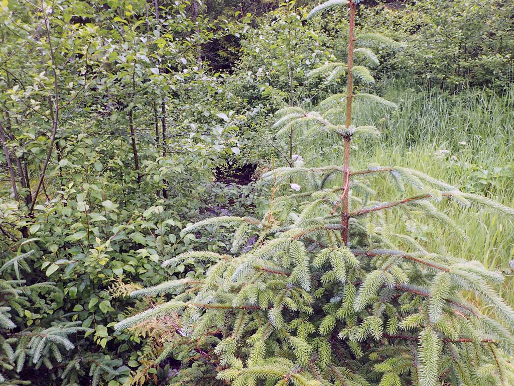
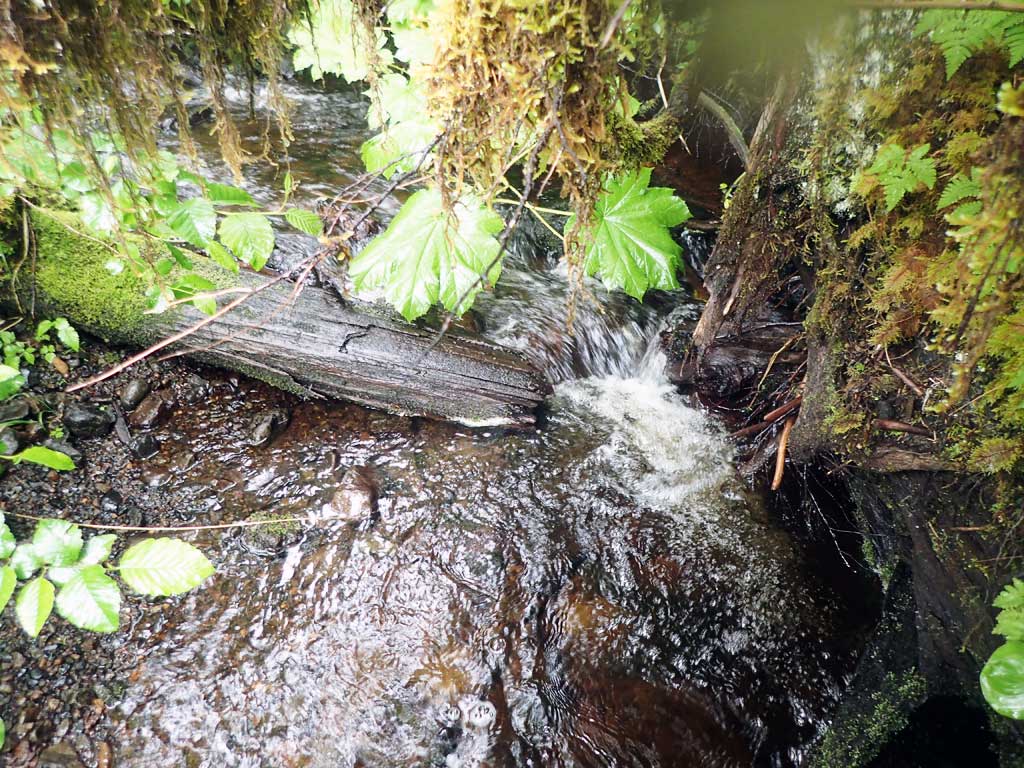
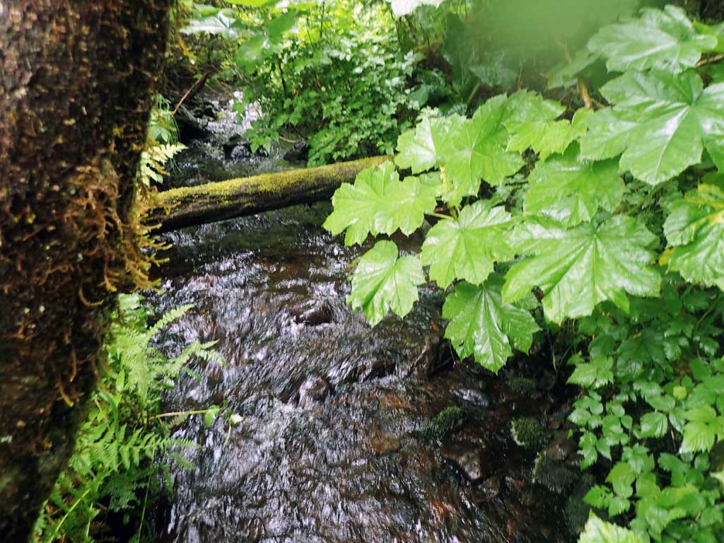
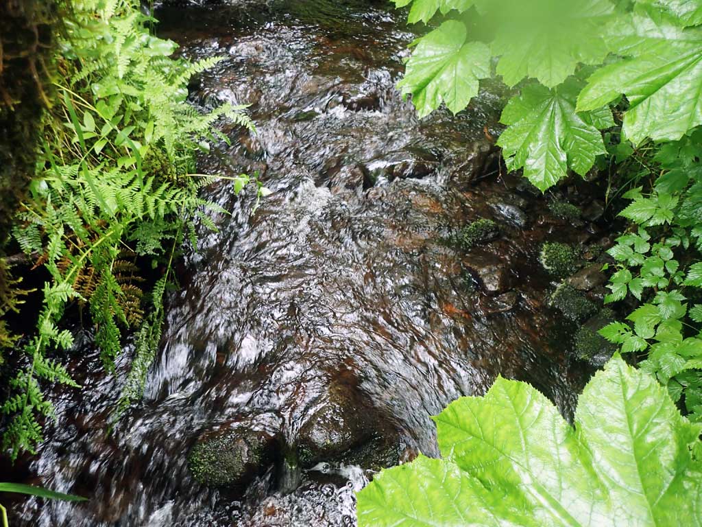
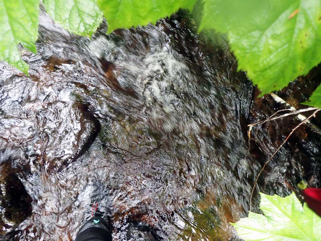
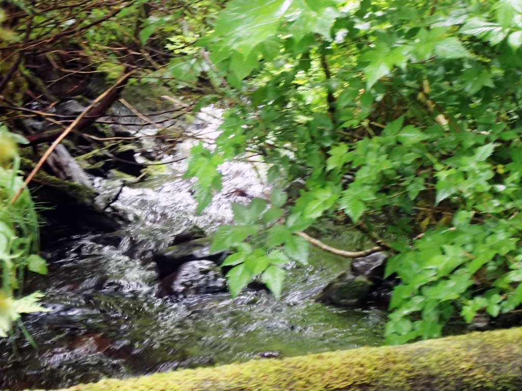
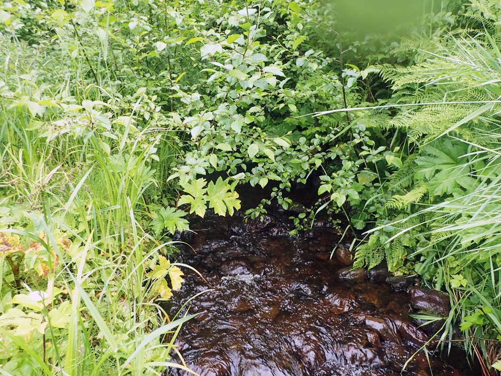
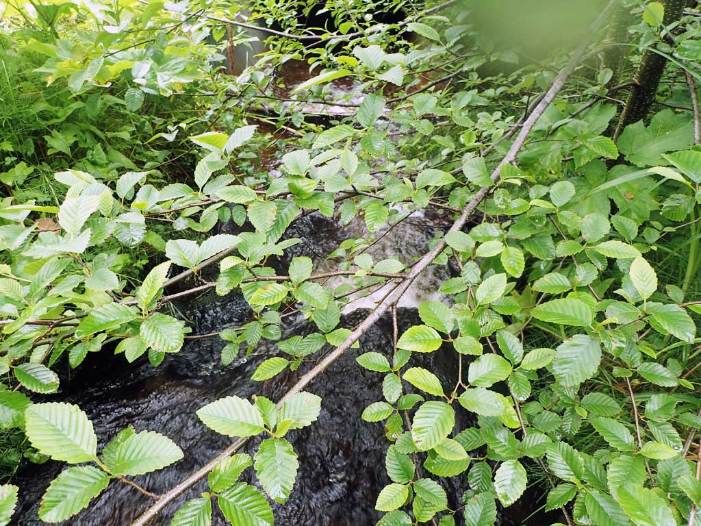
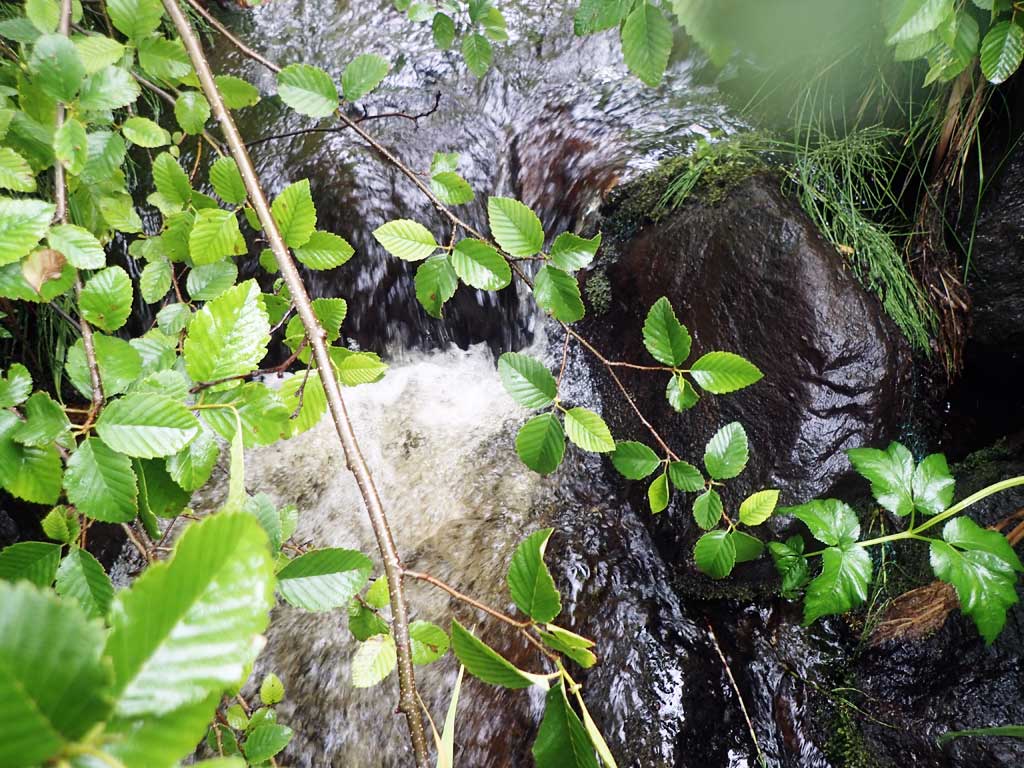
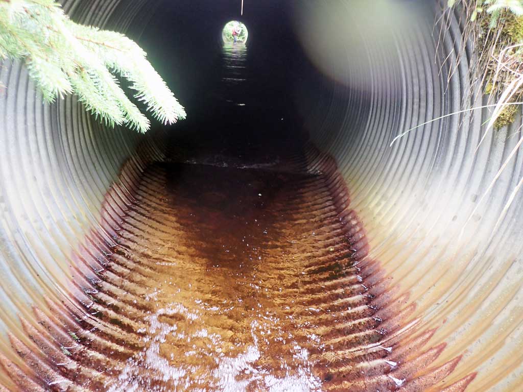
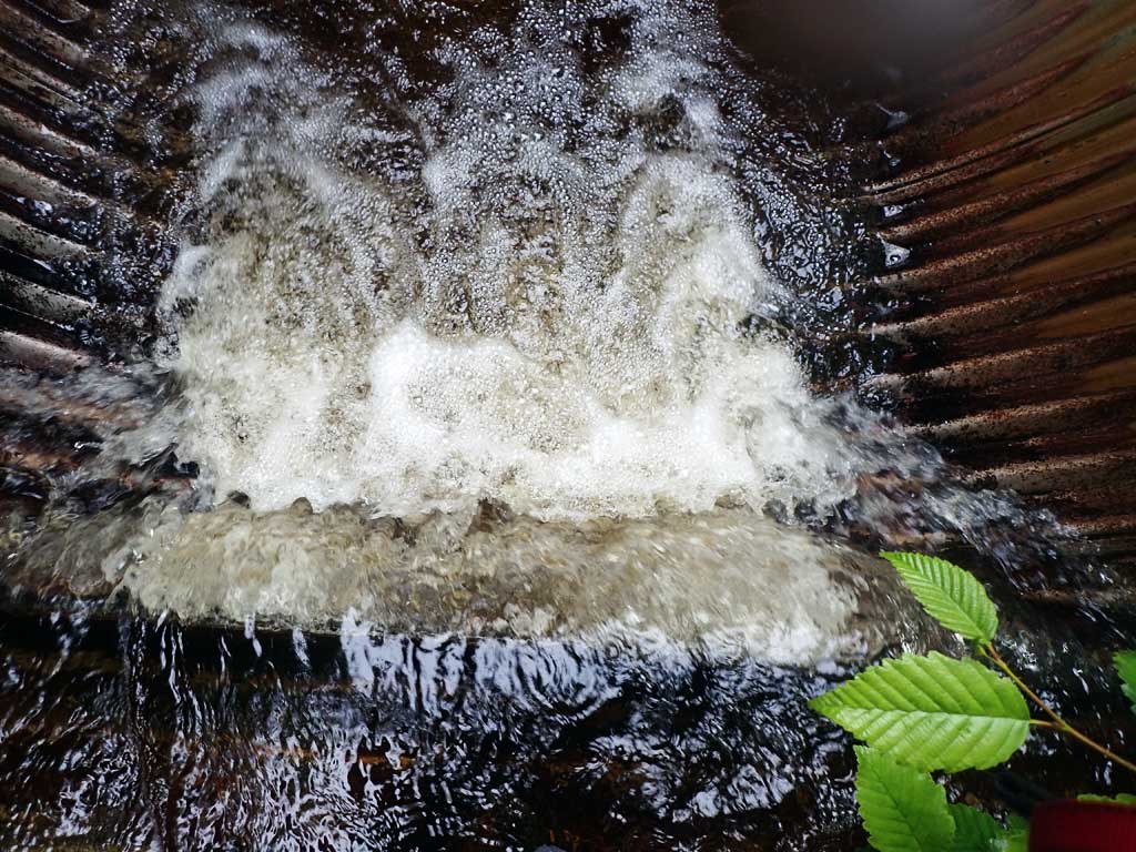
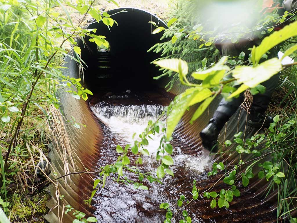
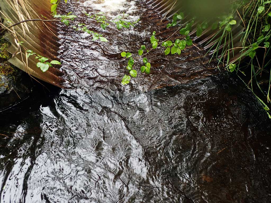
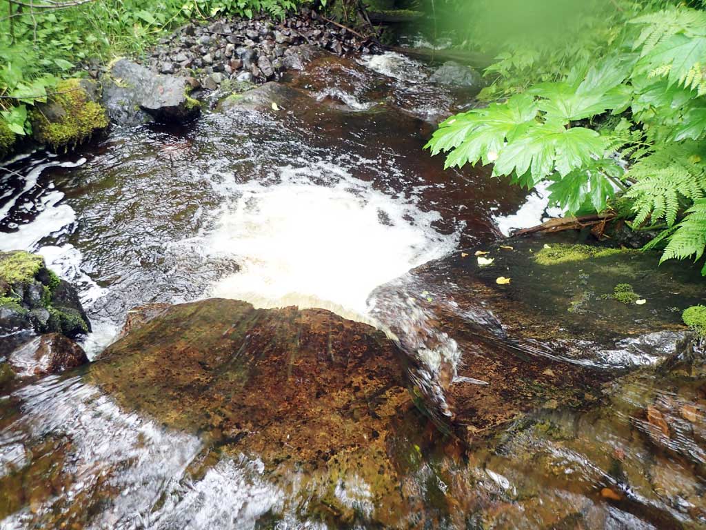
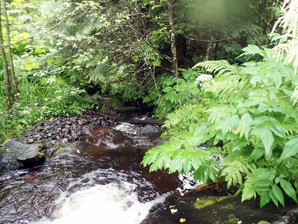
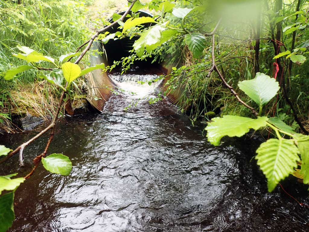
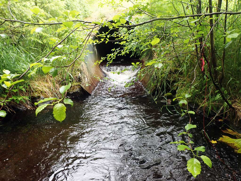
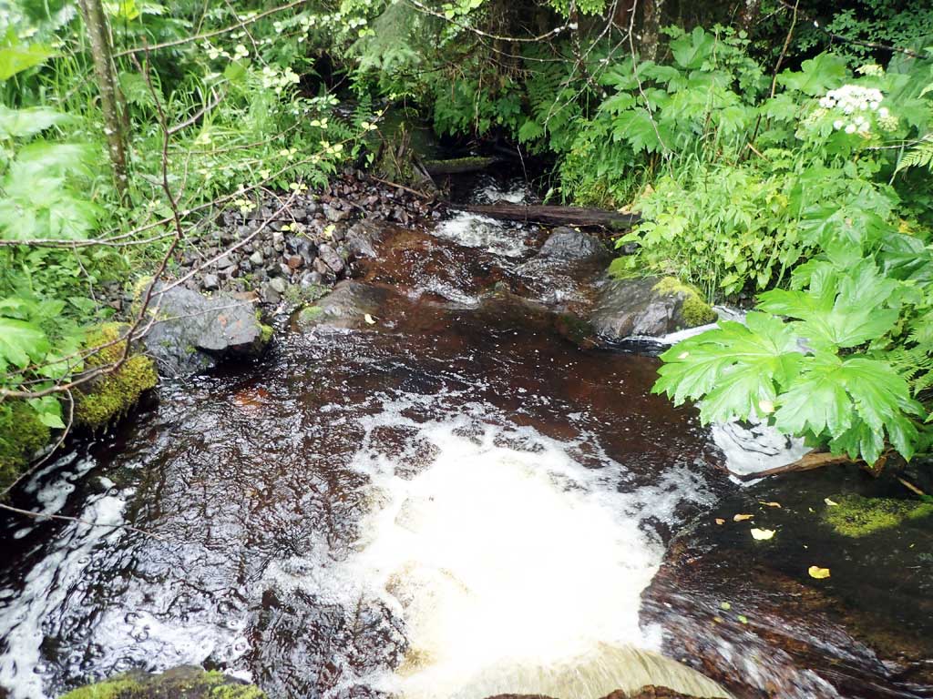
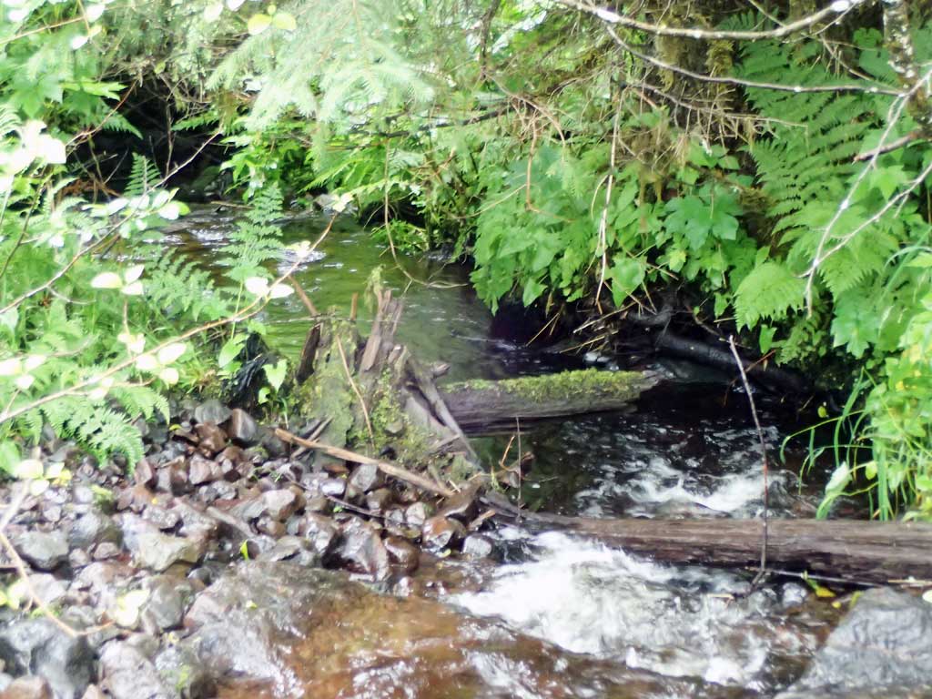
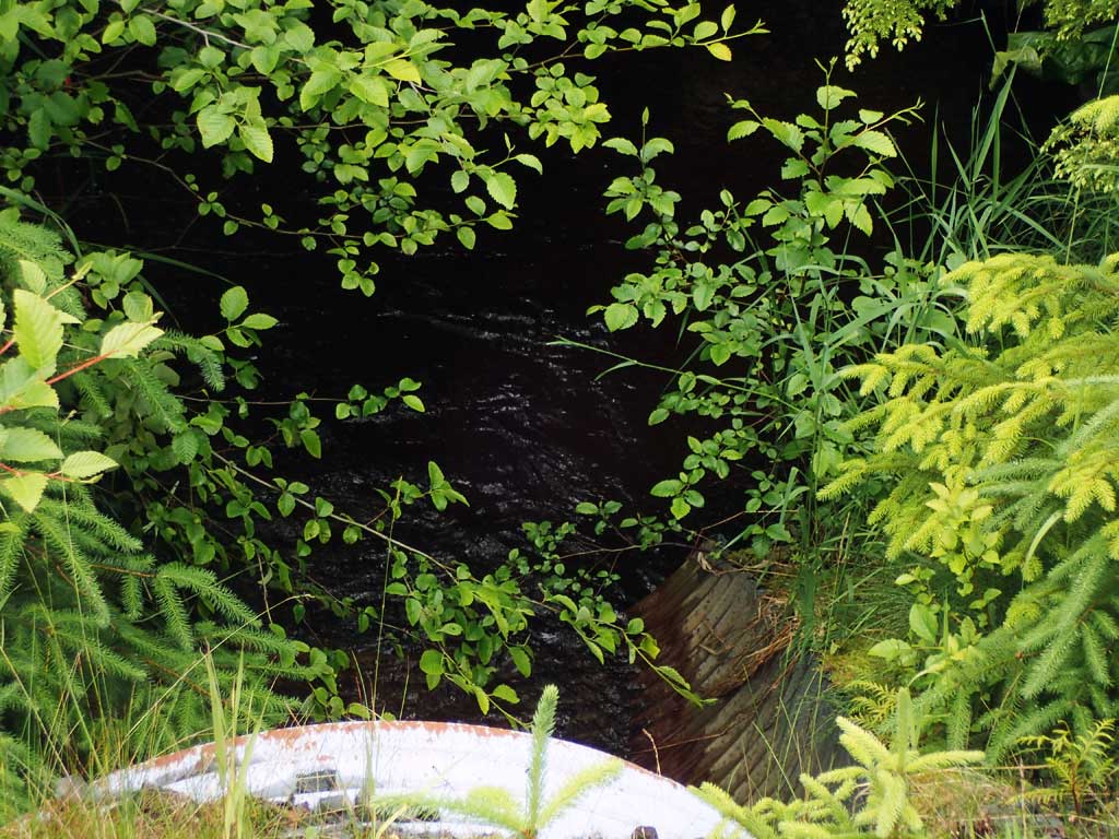
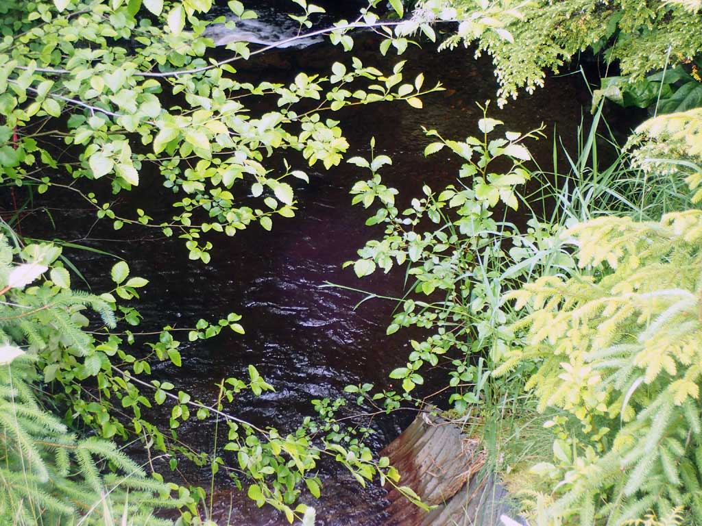
Comments: Nice big outlet pool 2ft deep. Tailwater control consists of big boulders forming 3ft high step then another deep pool then fairly fast flowing riffle, twisty channel. Upstream similar with 40 degree bends, fast riffle, a few pools. 10 baffles in pipe.
Culvert Measurements
| ID: 1 | Structure Type: Circular pipe (Corrugated steel) | Fish Passage Rating: | |||||||||||||||||||||||||||||||||||||||||
|
|
|
|||||||||||||||||||||||||||||||||||||||||
Comments: Top of culvert length 95'. Upstream too brushy for gradient survey. |
|||||||||||||||||||||||||||||||||||||||||||
Stream Measurements
|
|
| Stream Width Type | Distance From Crossing (ft) |
Stream Width (ft) |
|---|---|---|
| Upstream ordinary high water | 30.0 | 5.50 |
| Upstream ordinary high water | 50.0 | 5.00 |
| Upstream ordinary high water | 70.0 | 6.25 |
Elevations
| Locator ID | Culvert Number |
River Distance (ft)1 |
Distance From Crossing (ft)2 |
Relative Elevation (ft) |
|---|---|---|---|---|
| Road Elev | 112.47 | |||
| D/S Grade Ctrl (Thalweg) | 0.00 | 91.61 | ||
| D/S Water Surface Elev | 0.00 | 92.00 | ||
| D/S Tailcrest or 1st Thalweg (boulders) | 10.00 | 92.64 | ||
| D/S Water Surface Elev | 10.00 | 94.18 | ||
| D/S Water Surface Elev | 20.00 | 94.26 | ||
| Max Pool Depth | 20.00 | 92.20 | ||
| Outlet Invert (on pipe) | 24.00 | 93.53 | ||
| D/S Water Surface Elev | 24.00 | 94.28 | ||
| Outlet Culvert Top | 34.00 | 100.00 | ||
| Inlet Culvert Top | 129.00 | 106.11 | ||
| Inlet Culvert Invert (on pipe) | 139.00 | 100.61 | ||
| U/S Water Surface Elev | 139.00 | 101.39 | ||
| U/S Grade Ctrl (Thalweg) | 142.00 | 101.90 | ||
| U/S Water Surface Elev | 142.00 | 102.21 | ||
| U/S Grade Ctrl (Thalweg) | 167.00 | 102.71 | ||
| U/S Water Surface Elev | 167.00 | 103.23 |
Notes:
- River distance is measured continuously throughout the survey reach along the thalweg of the stream.
- Measured from each end of the crossing along the thalweg of the stream.
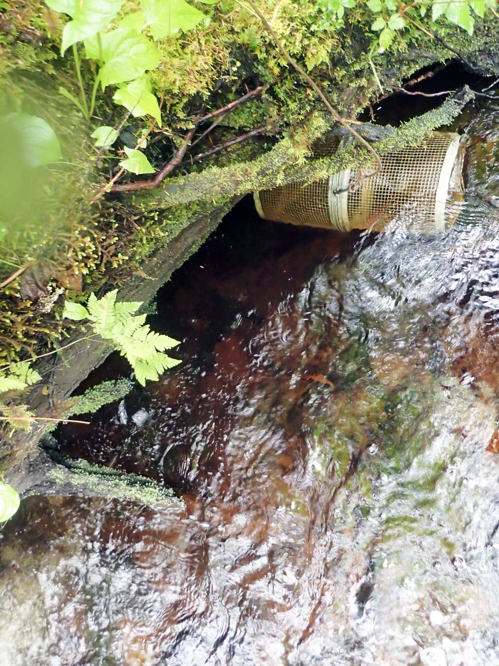
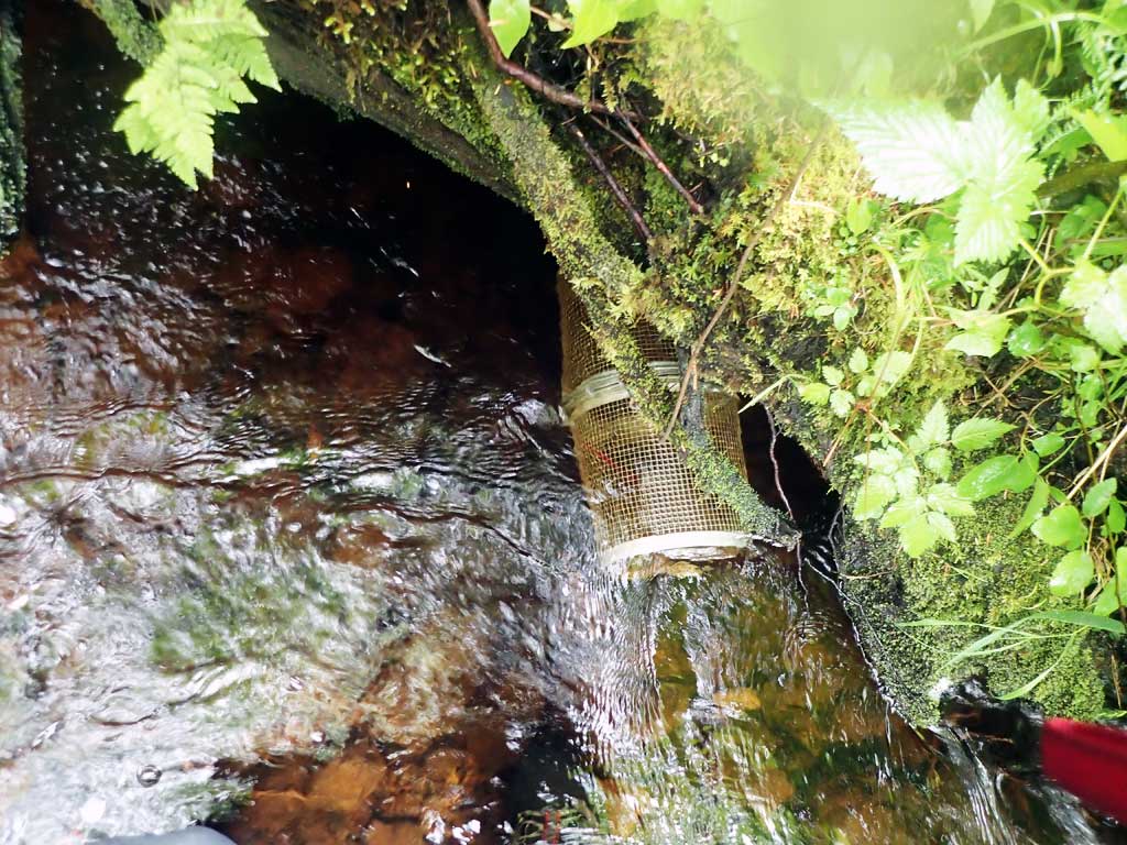
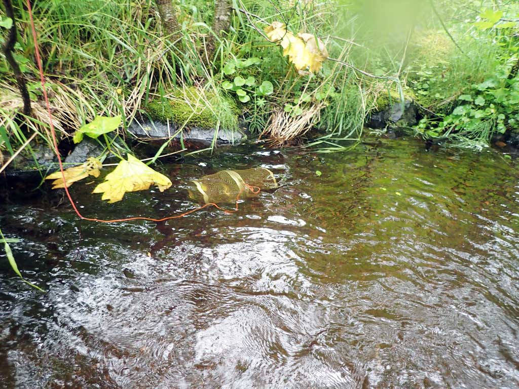
Fish Sampling Efforts
| Gear Type: Minnow Trap (A) | Trap Duration(h): 1.5 | |
| Comments: 50ft upstream, no fish | ||
| Gear Type: Minnow Trap (B) | Trap Duration(h): 1.5 | |
| Comments: 20 ft downstream, no fish | ||
Fish Observations
No fish observations occurred during this survey.
Photos
Questions or comments about this report can be directed to dfg.dsf.webmaster@alaska.gov