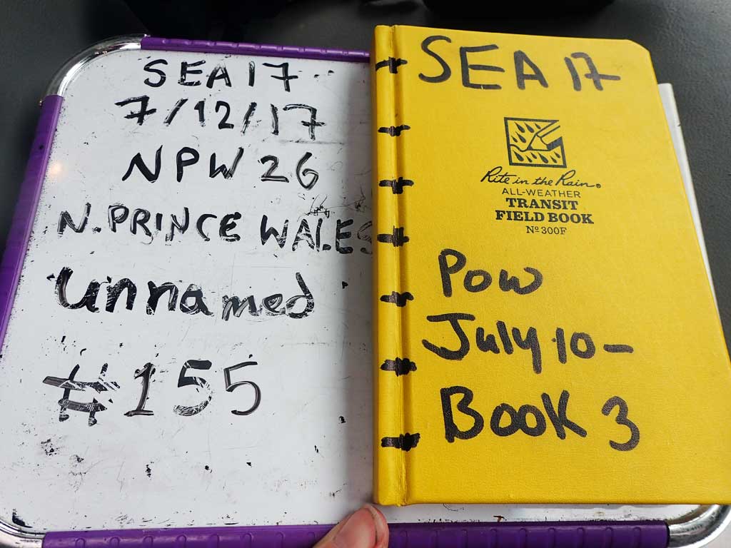
Fish Passage Site 10103592
Coordinates (dec. deg.): 55.74053°, -132.96930°
Legal Description: C071S081E03
Region: Southeast
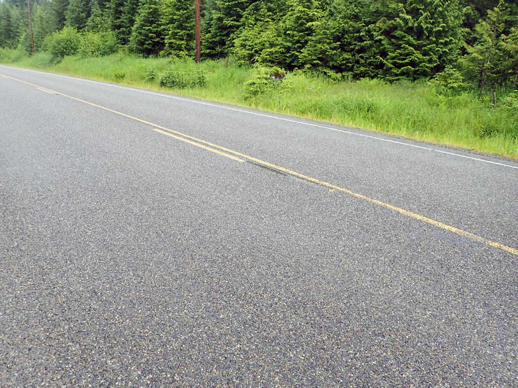
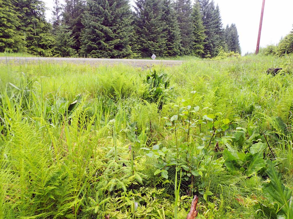
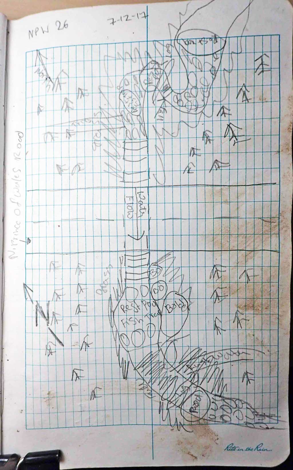
Road Name: North Prince of Wales Road
Datum: NAD83
Quad Name / ITM: Craig C-3
AWC Stream #:
Stream Name: Unnamed
Elevation:
Site Comments: None
Survey SEA17-NPW26
Observers: Elizabeth Flory, Kelly Petty
Overall Fish Passage Rating:
Tidal: No
Backwatered: No
Step Pools: No
Construction Year:
Site Observations:
- Outfall height red
- Culvert gradient red
- Constriction ratio gray
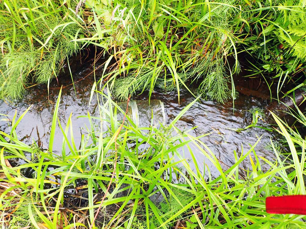
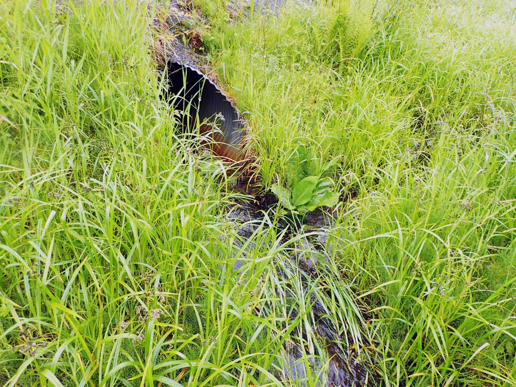
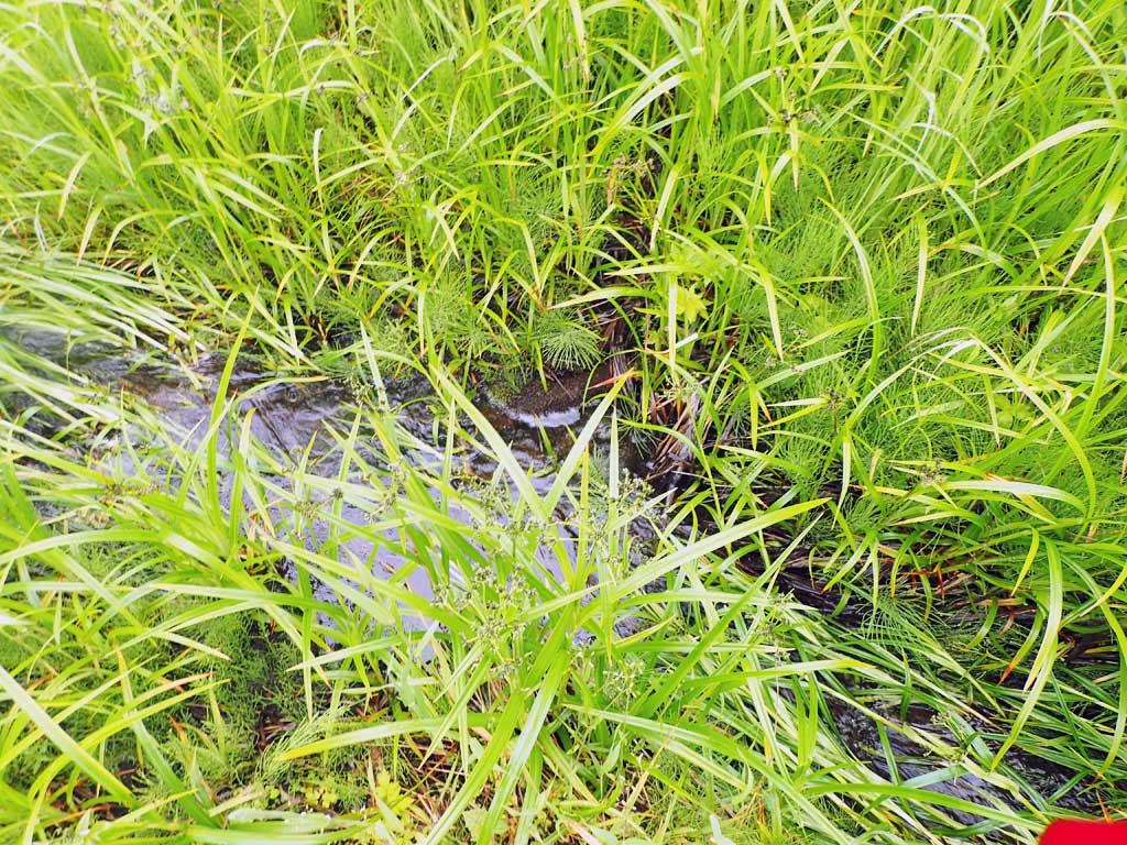
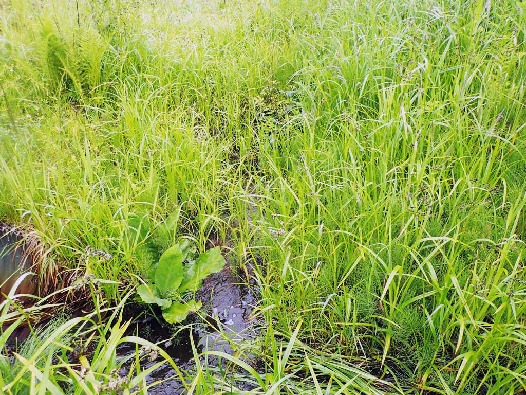
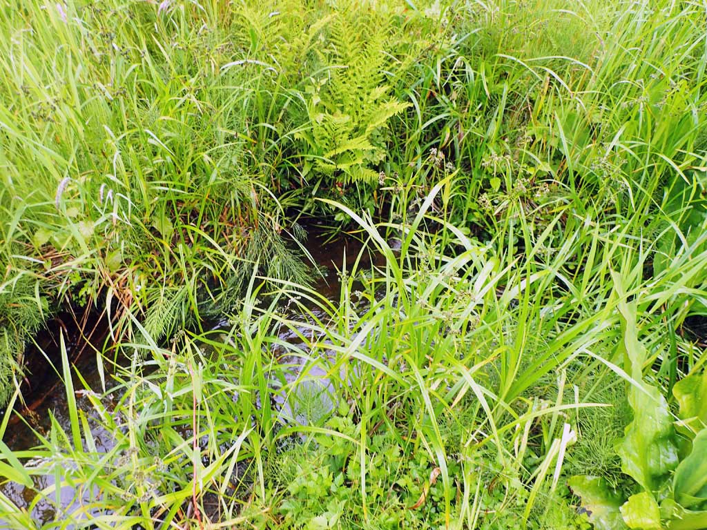
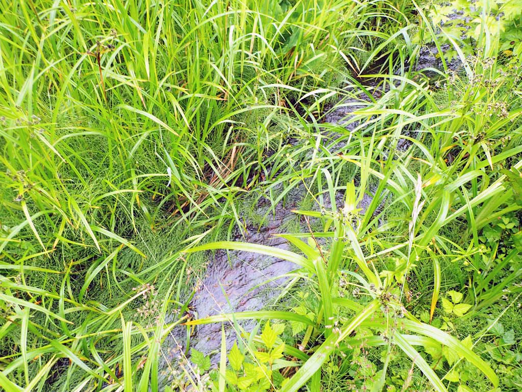
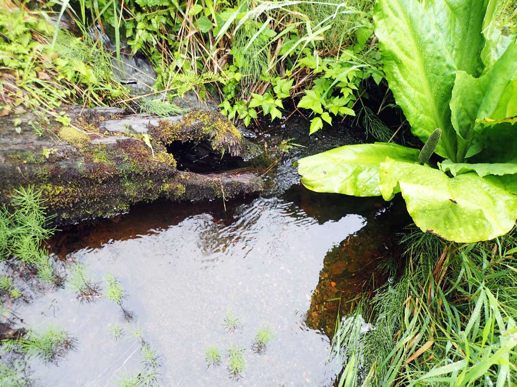
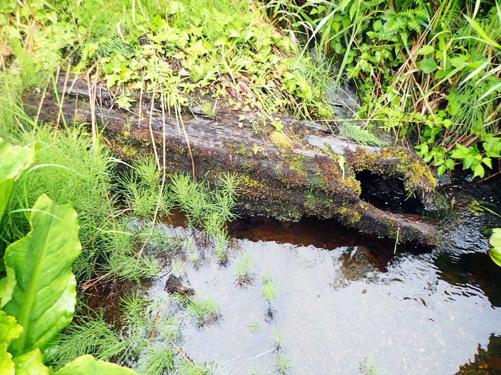
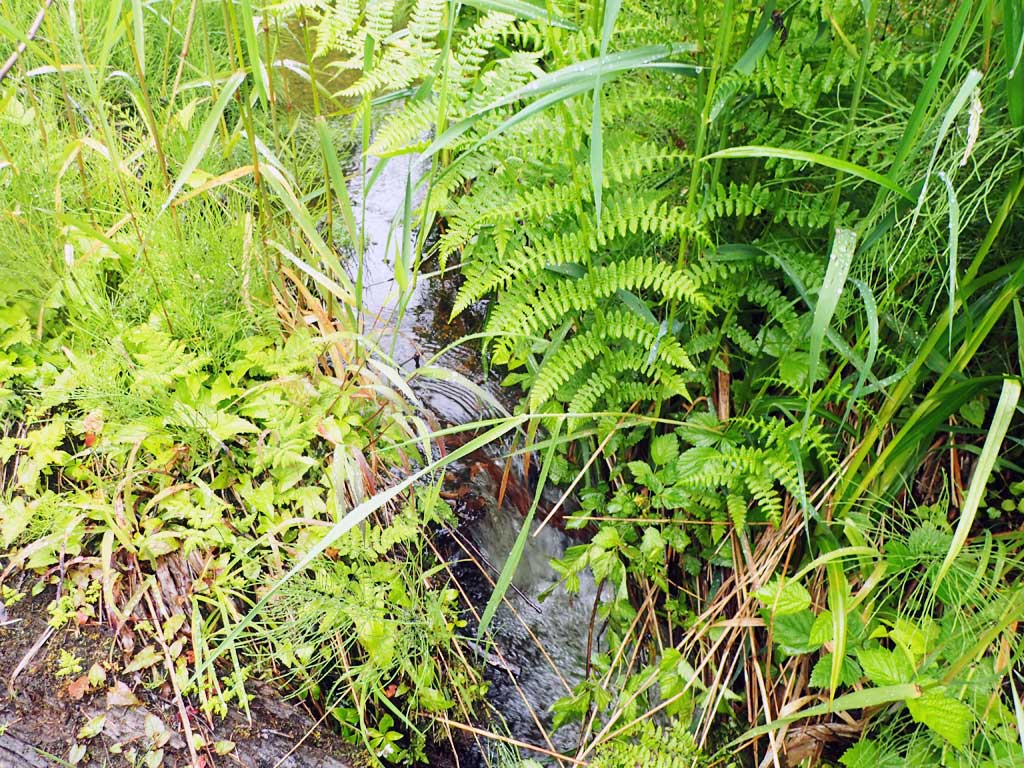
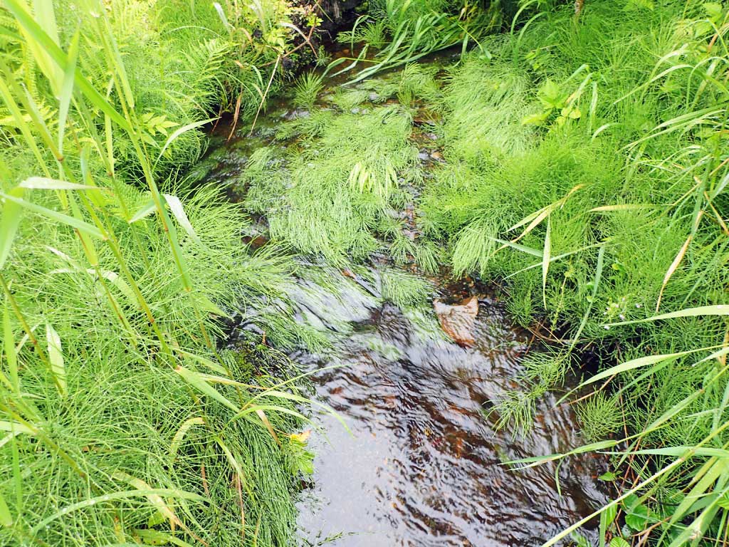
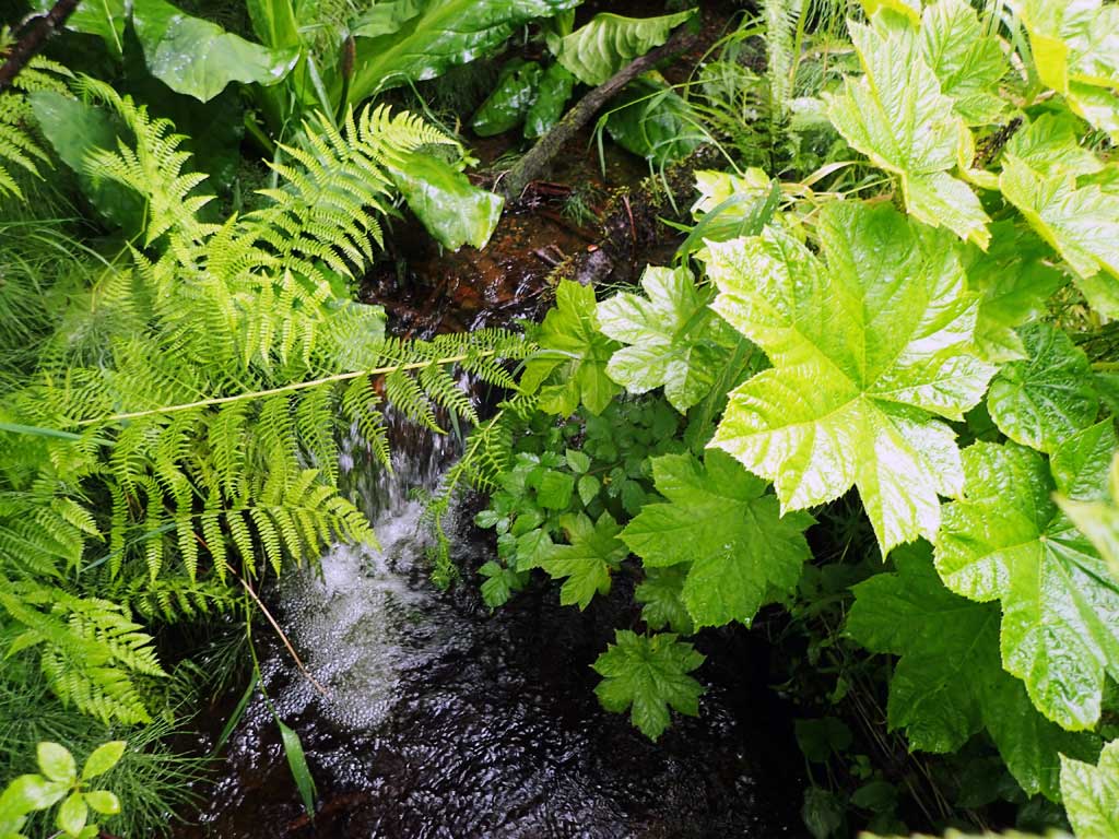
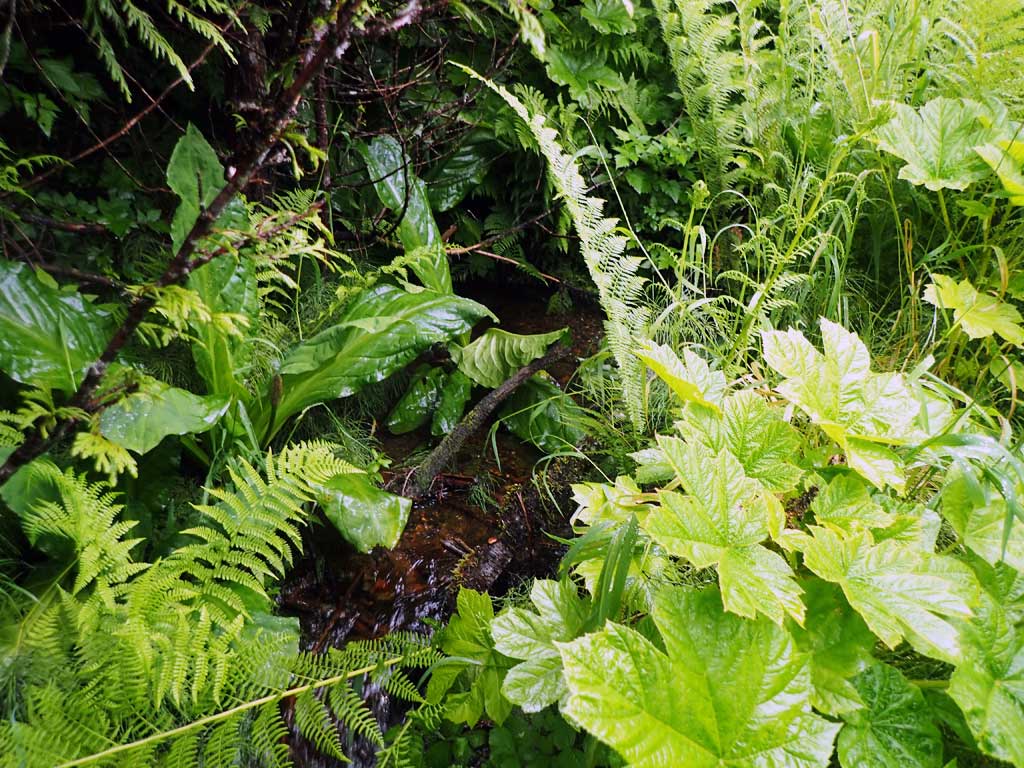
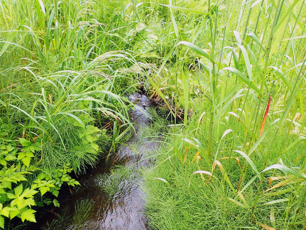
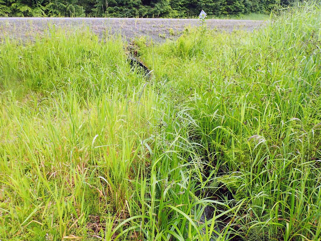
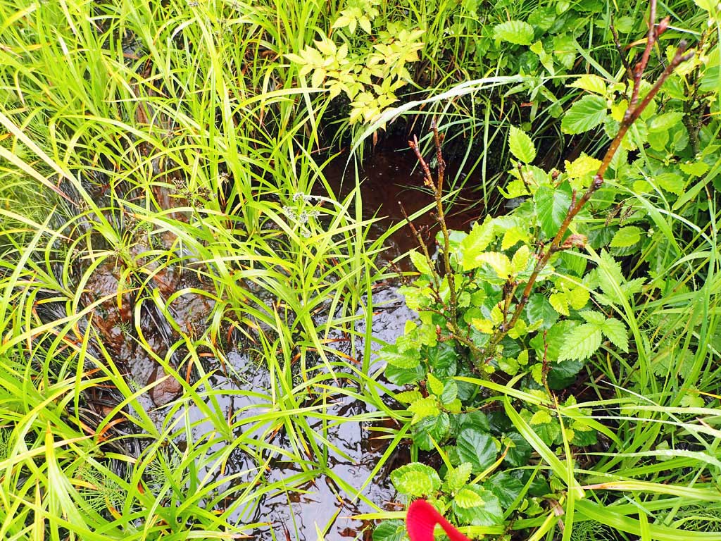
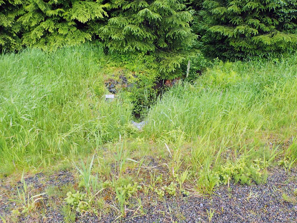
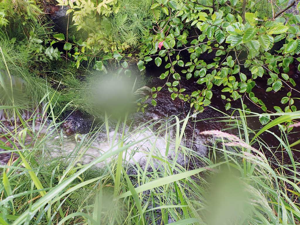
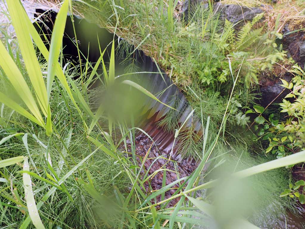
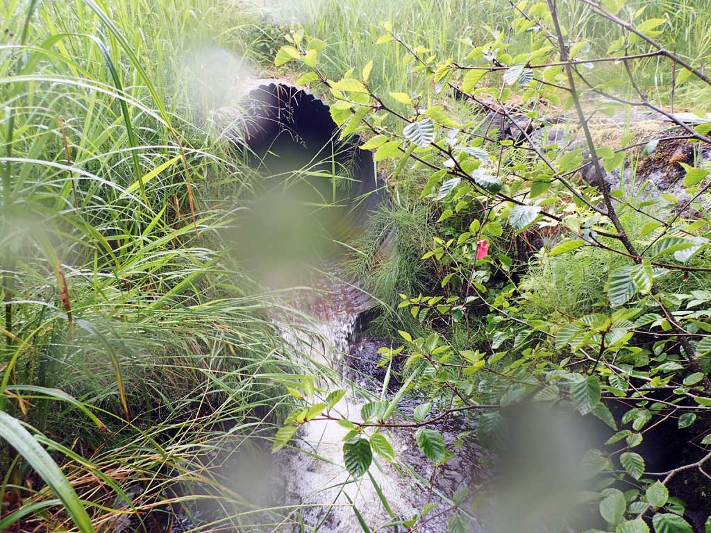
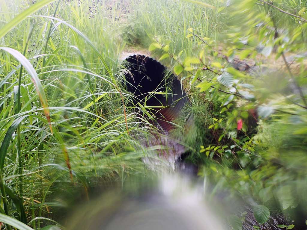
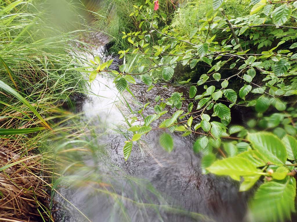
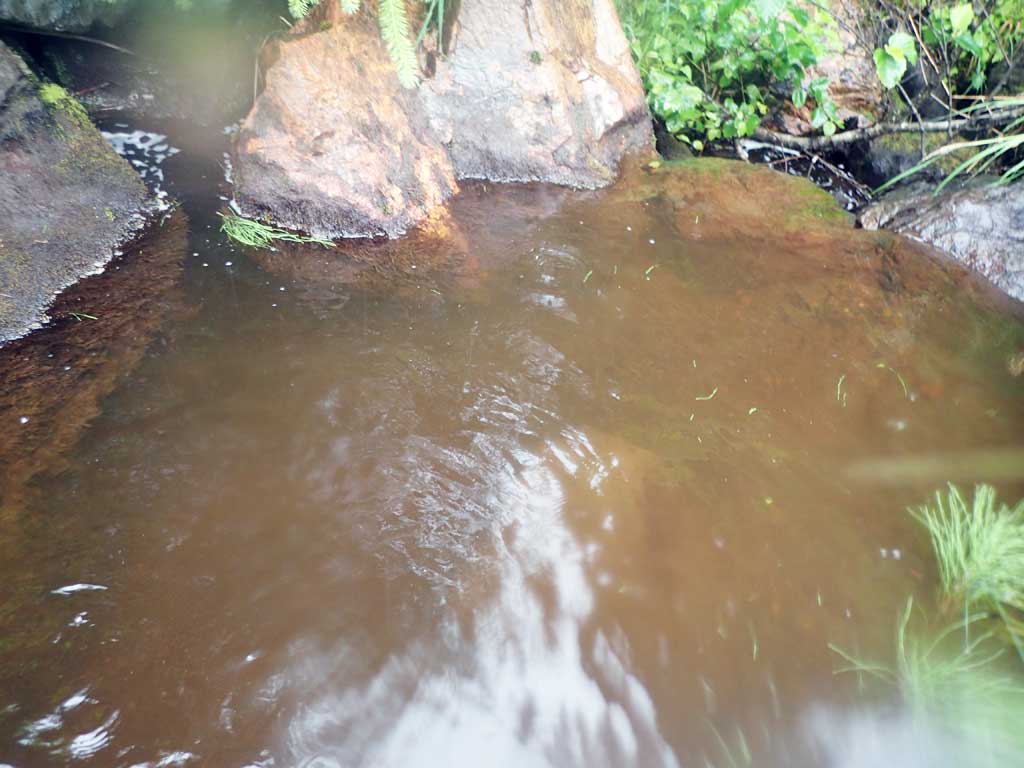
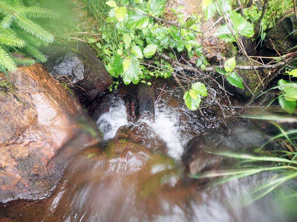
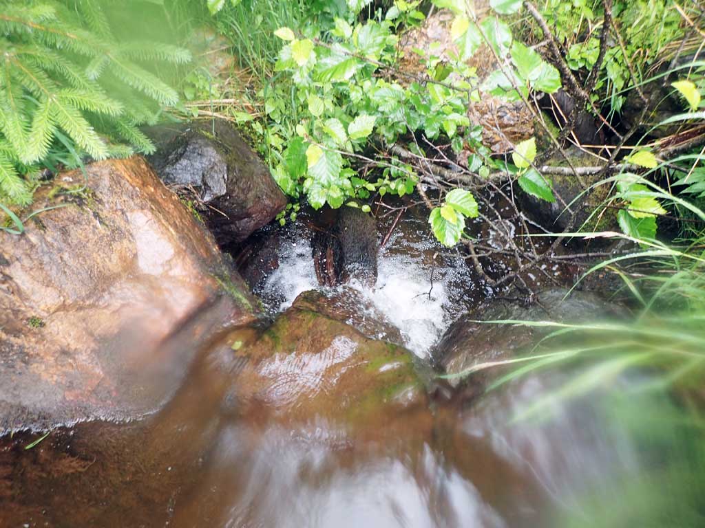
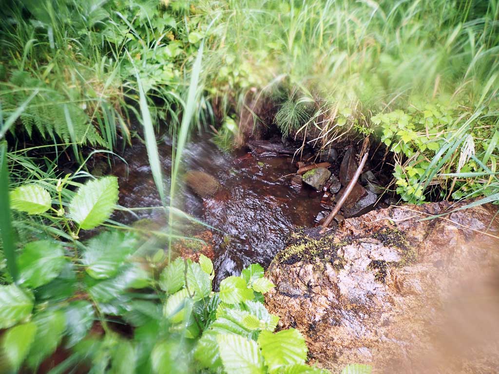
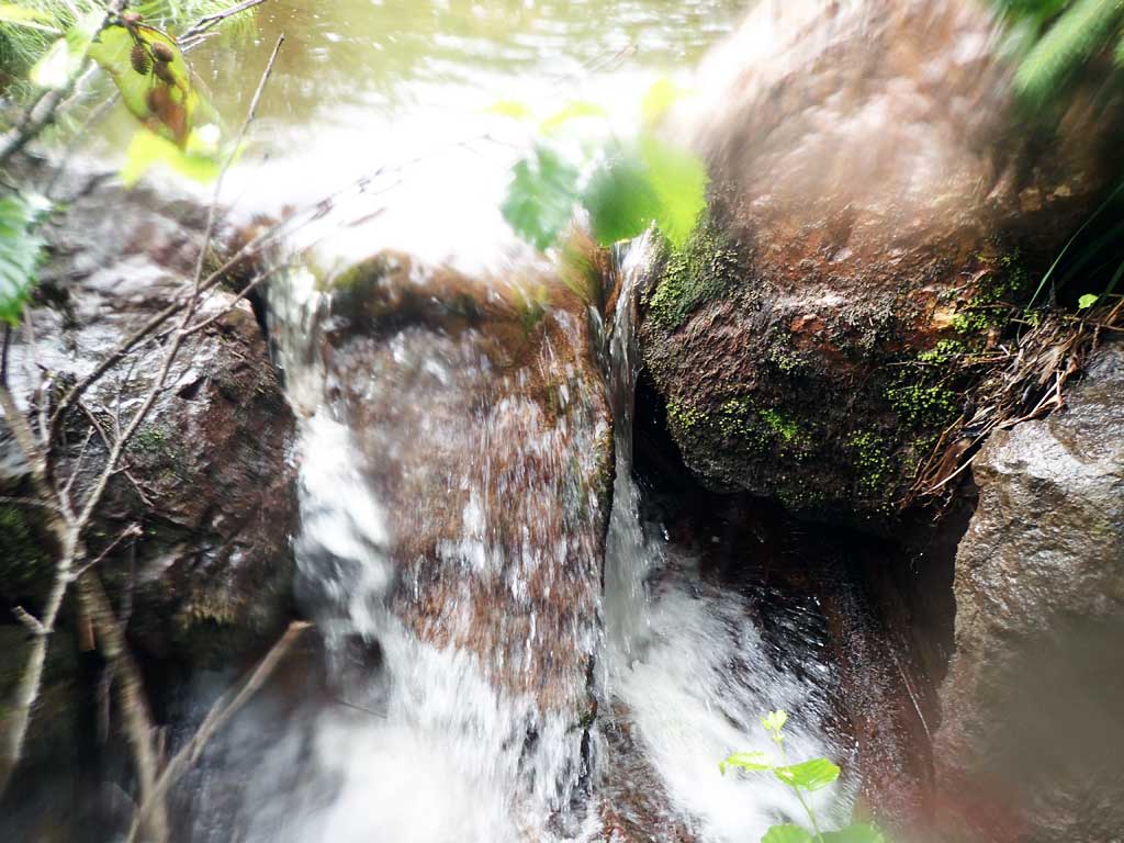
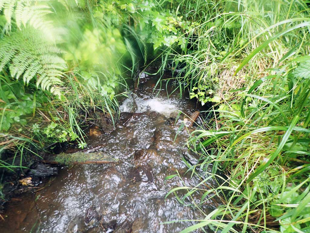
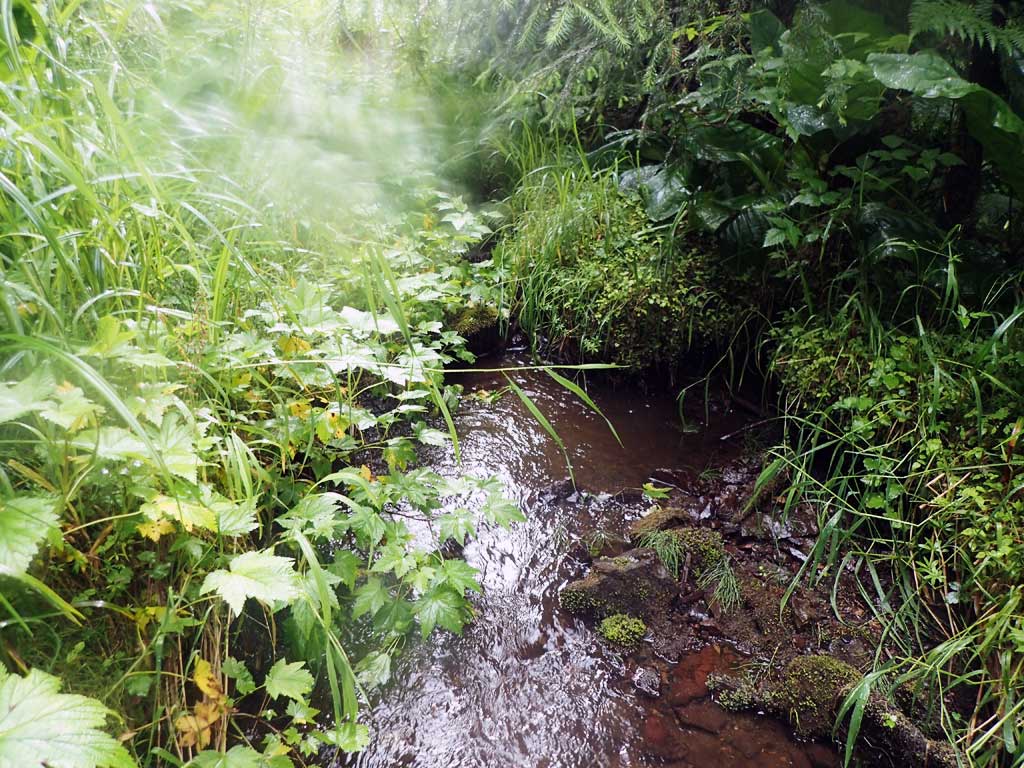
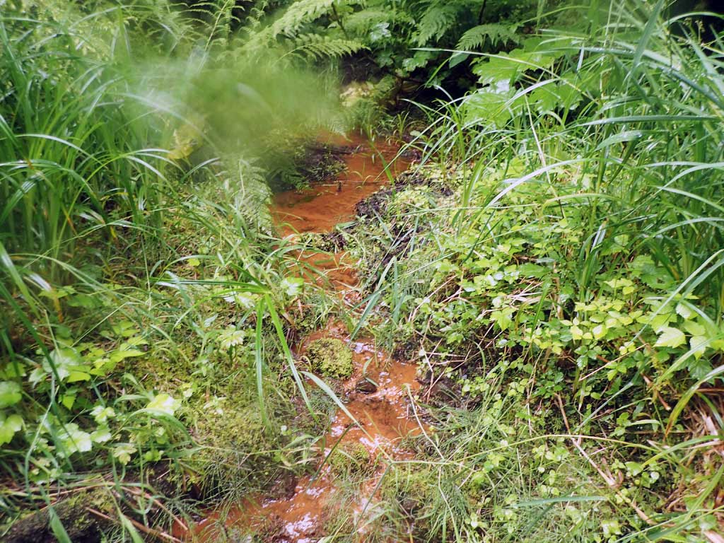
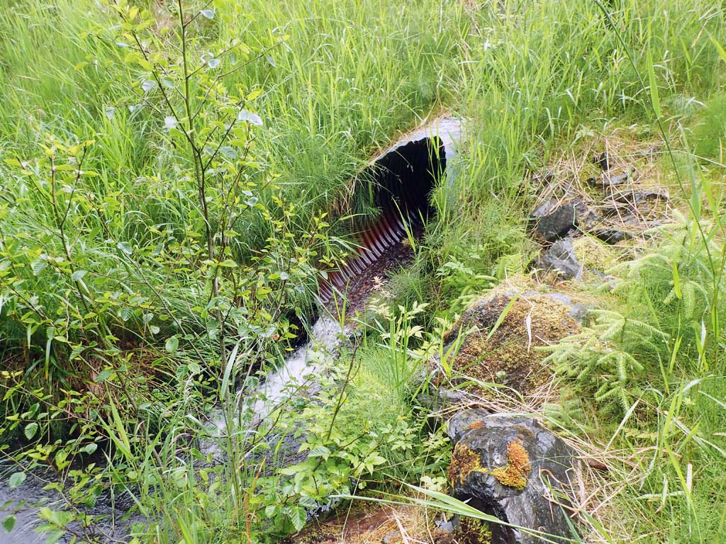
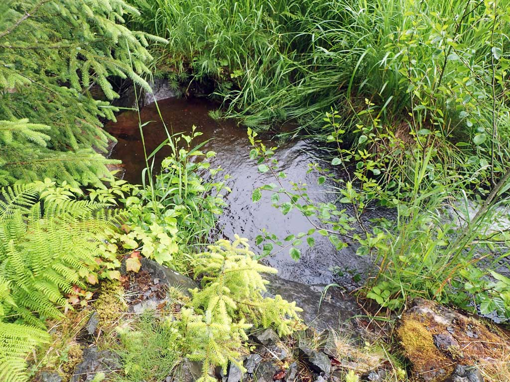
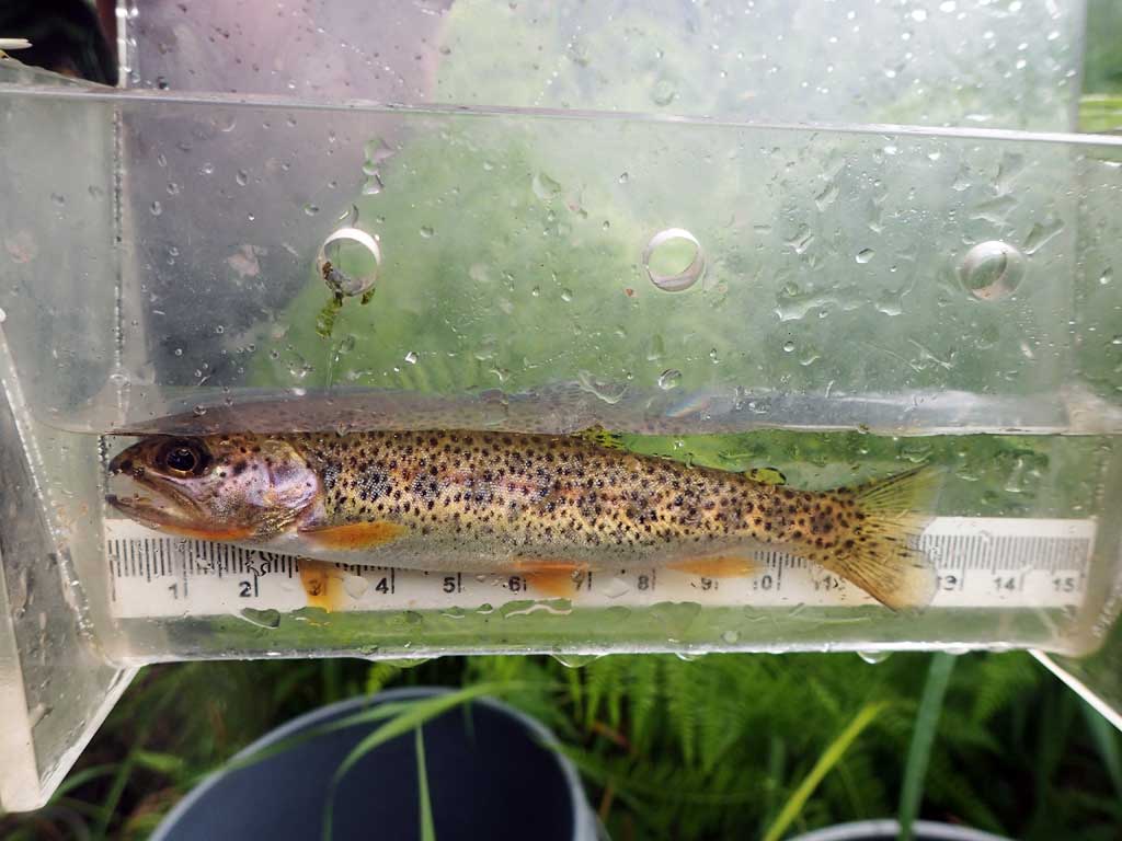
Comments: Upstream channel splits right above culvert. First resting just above inlet. Channels upstream much narrower than downstream. Downstream has nice gravel riffles, a few large woody debris steps. Rusty orange tributary about 1ft wide comes in from south about 50ft downstream. 1 cutthroat caught in plunge pool.
Culvert Measurements
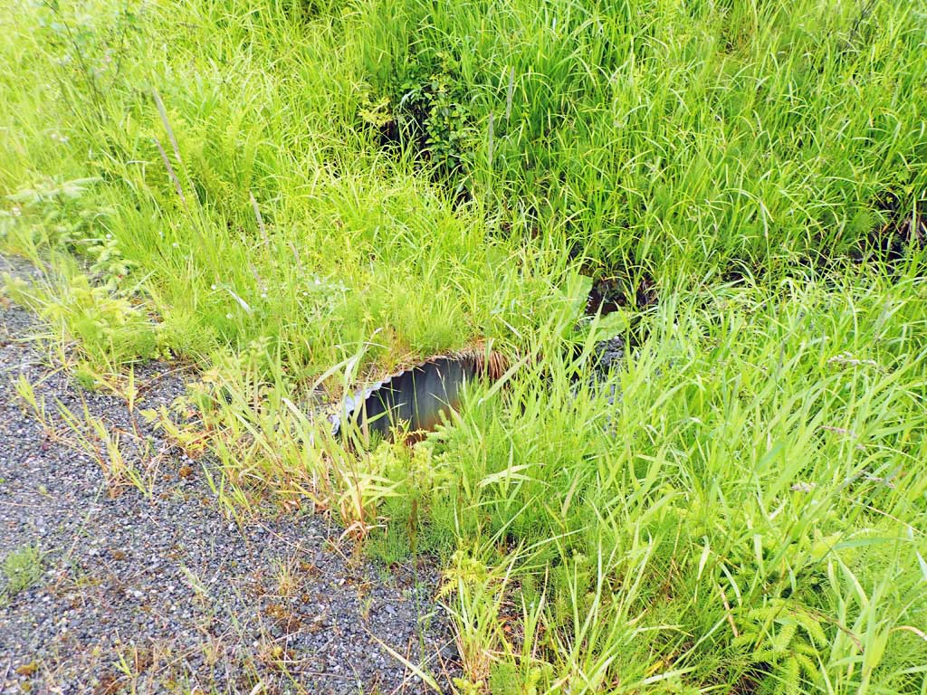
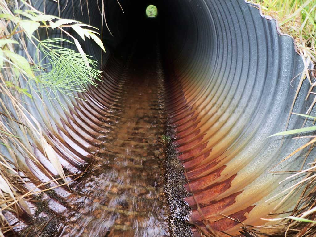
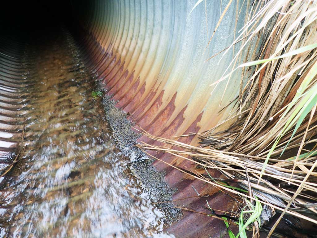
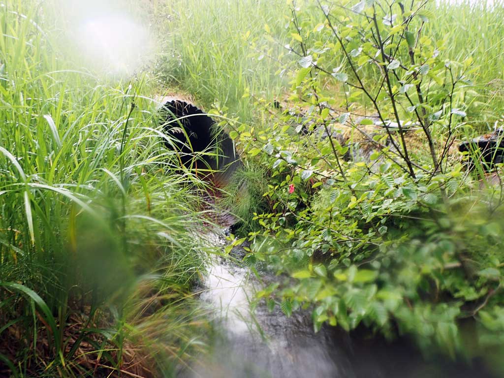
| ID: 1 | Structure Type: Circular pipe (Corrugated steel) | Fish Passage Rating: | |||||||||||||||||||||||||||||||||||||||||
|
|
|
|||||||||||||||||||||||||||||||||||||||||
Comments: Used downstream average width for constriction as channel split upstream. Top of culvert length 60'. |
|||||||||||||||||||||||||||||||||||||||||||
Culvert Observations:
|
|||||||||||||||||||||||||||||||||||||||||||
Stream Measurements
|
|
| Stream Width Type | Distance From Crossing (ft) |
Stream Width (ft) |
|---|---|---|
| Downstream ordinary high water | 50.0 | 4.40 |
| Downstream ordinary high water | 75.0 | 4.20 |
| Downstream ordinary high water | 100.0 | 4.00 |
| Upstream ordinary high water | 30.0 | 2.75 |
| Upstream ordinary high water | 50.0 | 3.75 |
| Upstream ordinary high water | 60.0 | 3.00 |
Elevations
| Locator ID | Culvert Number |
River Distance (ft)1 |
Distance From Crossing (ft)2 |
Relative Elevation (ft) |
|---|---|---|---|---|
| Road Elev | 103.56 | |||
| D/S Grade Ctrl (Thalweg) | 0.00 | 84.83 | ||
| D/S Water Surface Elev | 0.00 | 85.32 | ||
| D/S Grade Ctrl (Thalweg) | 6.00 | 85.57 | ||
| D/S Water Surface Elev | 6.00 | 86.36 | ||
| D/S Tailcrest or 1st Thalweg (boulders) | 51.00 | 90.80 | ||
| D/S Water Surface Elev | 51.00 | 90.89 | ||
| Max Pool Depth | 55.00 | 89.20 | ||
| D/S Water Surface Elev | 55.00 | 89.82 | ||
| Outlet Invert (on pipe) | 66.00 | 91.36 | ||
| D/S Water Surface Elev | 66.00 | 91.49 | ||
| Outlet Culvert Top | 70.00 | 94.80 | ||
| Inlet Culvert Top | 130.00 | 100.00 | ||
| Inlet Culvert Invert (on pipe) | 135.00 | 97.30 | ||
| U/S Water Surface Elev | 135.00 | 97.43 | ||
| U/S Grade Ctrl (Thalweg) | 139.00 | 97.62 | ||
| U/S Water Surface Elev | 139.00 | 97.67 | ||
| U/S Grade Ctrl (Thalweg) | 179.00 | 98.82 | ||
| U/S Water Surface Elev | 179.00 | 98.97 | ||
| U/S Grade Ctrl (Thalweg) | 201.00 | 99.88 | ||
| U/S Water Surface Elev | 201.00 | 100.02 |
Notes:
- River distance is measured continuously throughout the survey reach along the thalweg of the stream.
- Measured from each end of the crossing along the thalweg of the stream.
Fish Sampling Efforts
| Gear Type: Minnow Trap (A) | Trap Duration(h): 1.2 | |
| Comments: 20ft upstream no fish | ||
| Gear Type: Minnow Trap (B) | Trap Duration(h): 1.3 | |
| Comments: 10ft downstream, 1 cutthroat | ||
Fish Observations
| Species: juvenile cutthroat trout | Life History: | ||
| Total Fish Observed: 1 | Fish Measured: 1 | Fork Lengths (mm) Min: 120 Max: 120 Mean: 120 | |
| Collected/Observed by Gear Type: Downstream Minnow Trap (1) | |||
Photos
Questions or comments about this report can be directed to dfg.dsf.webmaster@alaska.gov