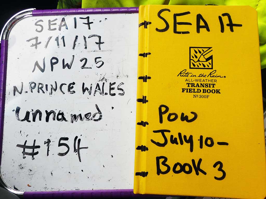
Fish Passage Site 10103591
Coordinates (dec. deg.): 55.74156°, -132.96973°
Legal Description: C071S081E03
Region: Southeast
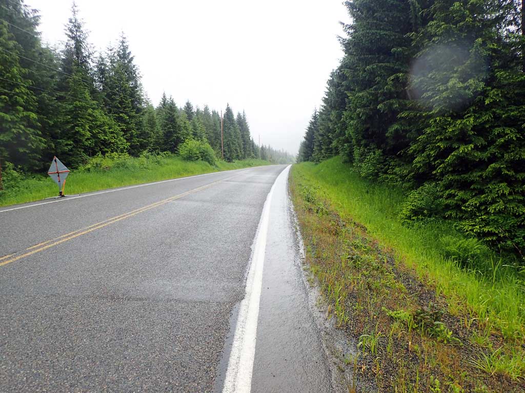
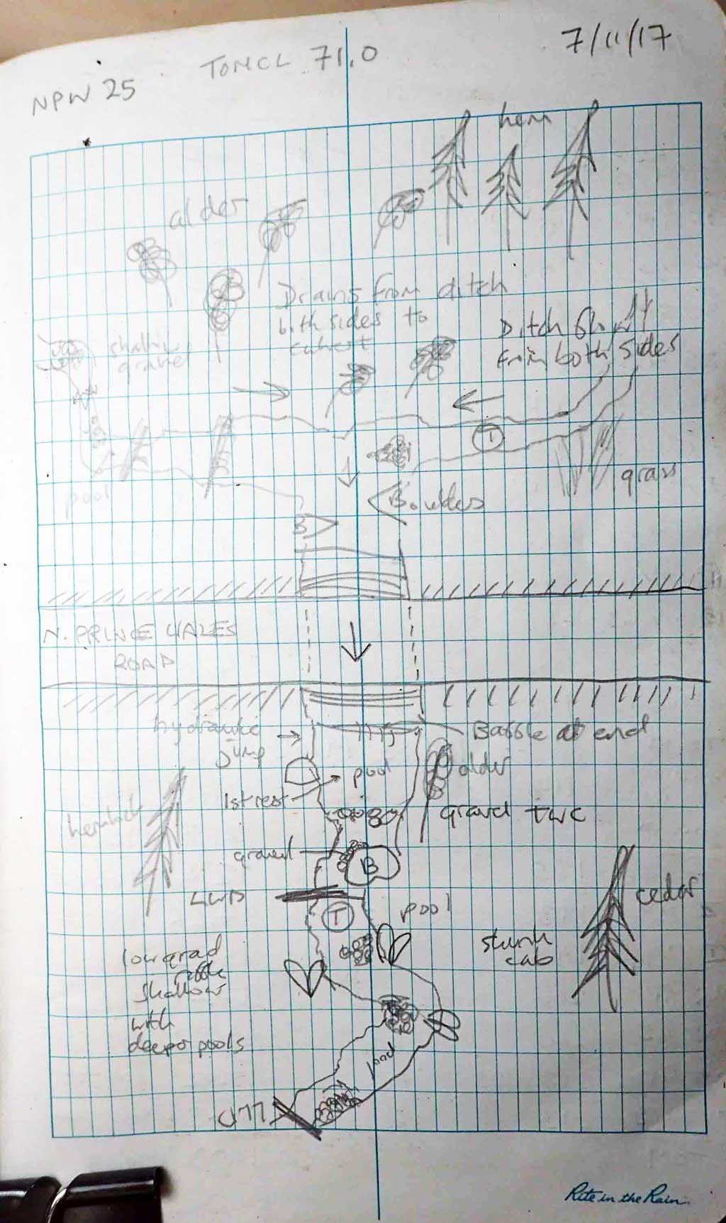
Road Name: North Prince of Wales Road
Datum: NAD83
Quad Name / ITM: Craig C-3
AWC Stream #:
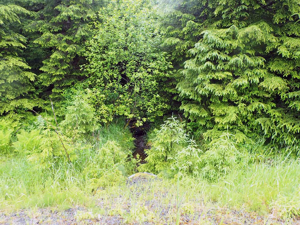
Stream Name: Unnamed
Elevation:
Site Comments: None
Survey SEA17-NPW25
Observers: Elizabeth Flory, Kelly Petty
Overall Fish Passage Rating:
Tidal: No
Backwatered: No
Step Pools: No
Construction Year:
Site Observations:
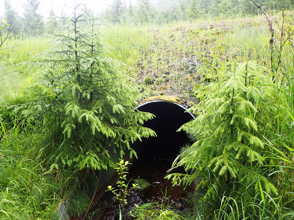
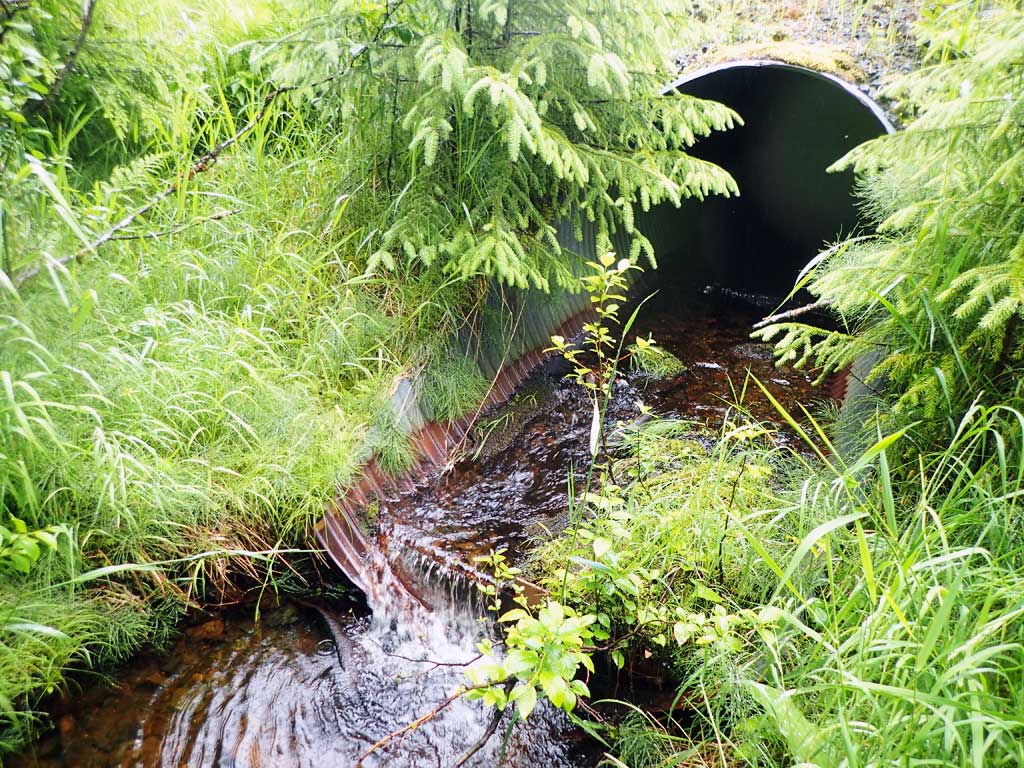
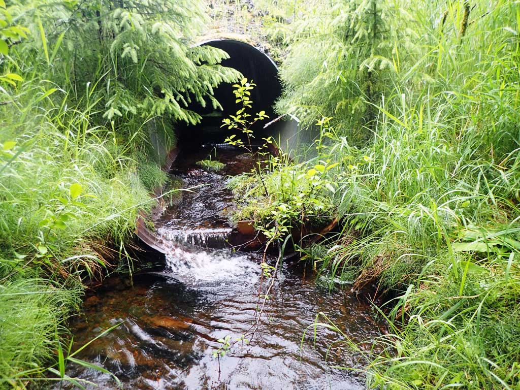
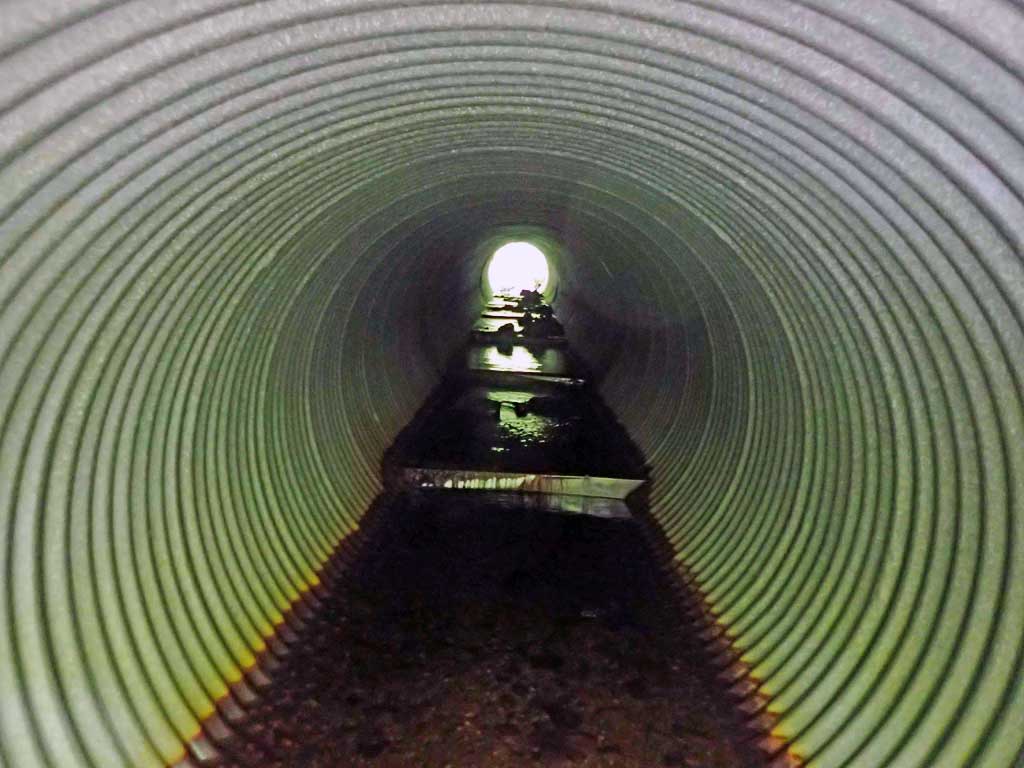
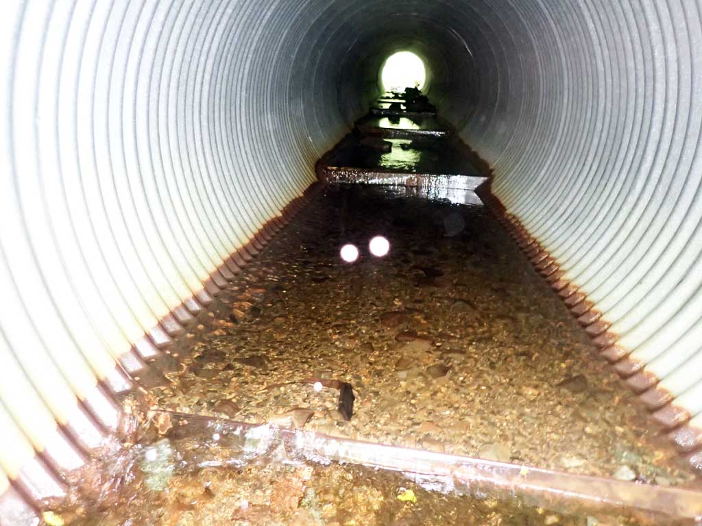
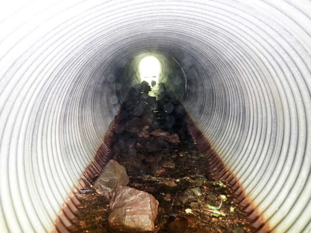
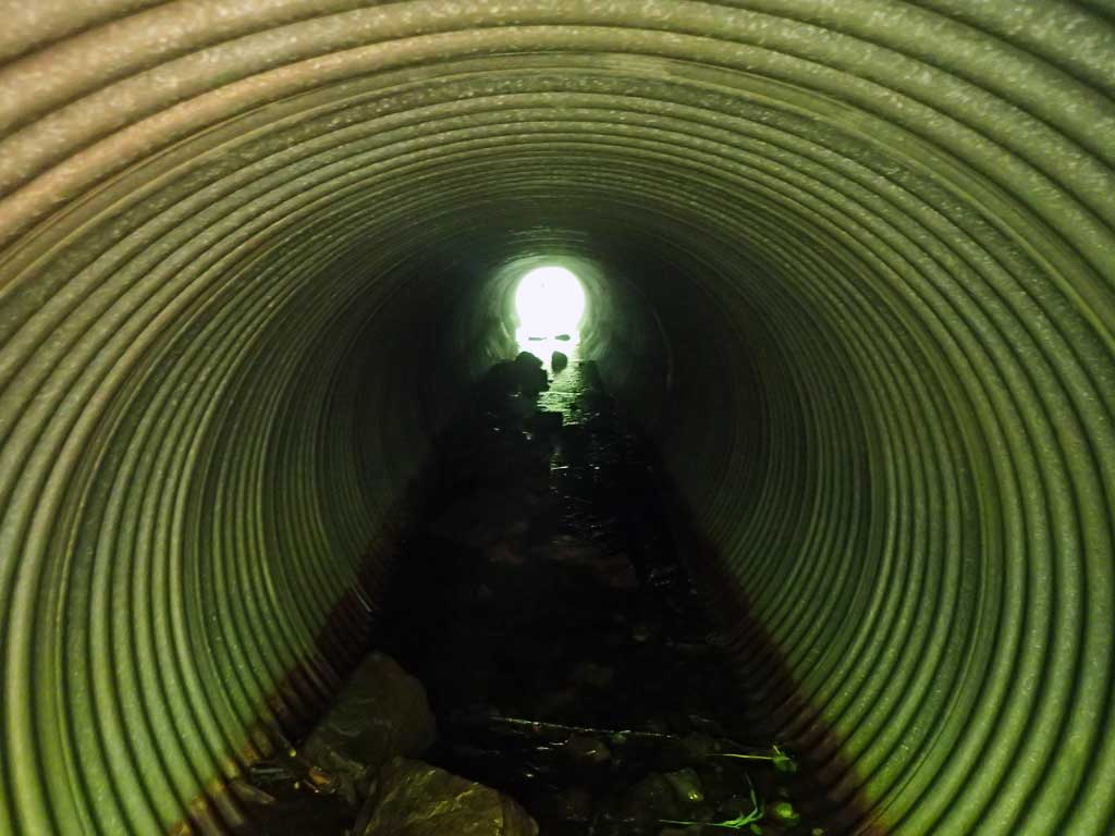
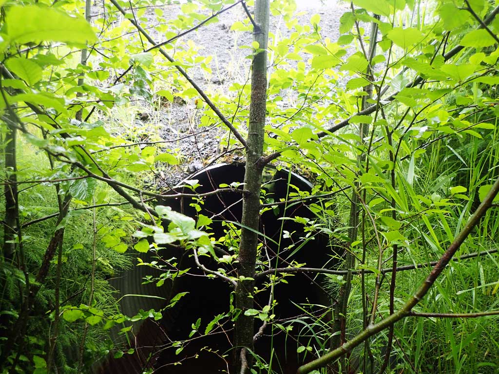
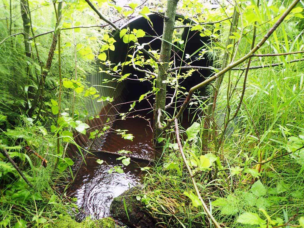
- Culvert is poorly aligned
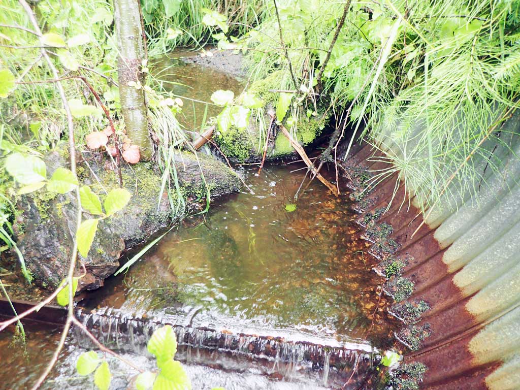
- Outfall height red
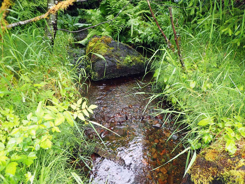
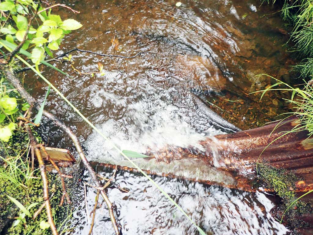
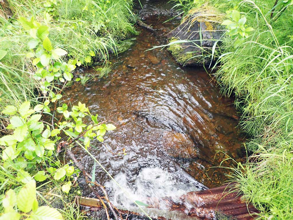
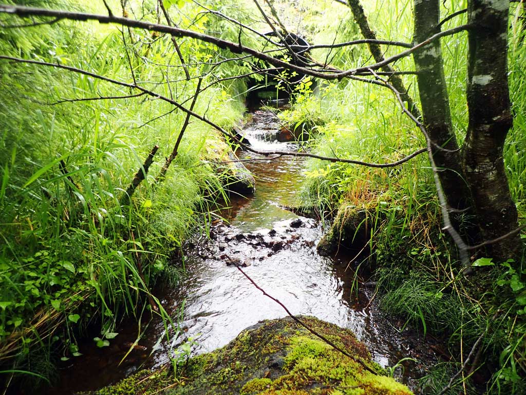
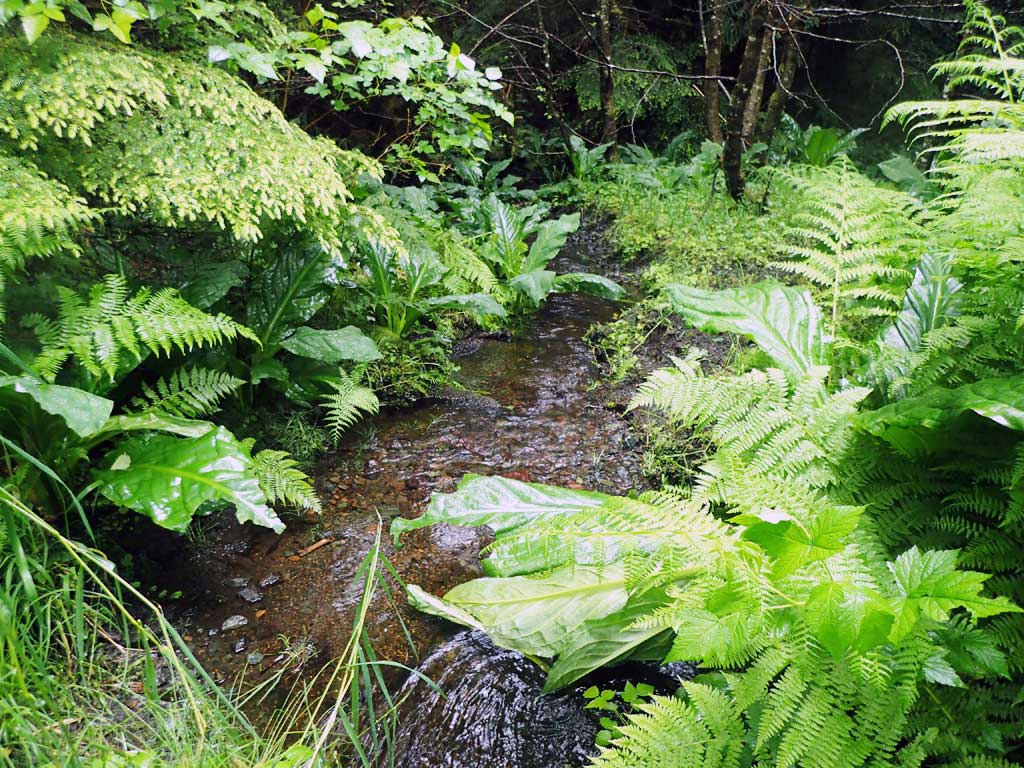
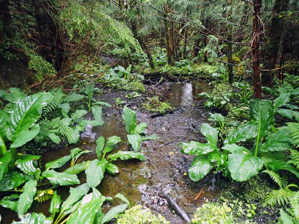
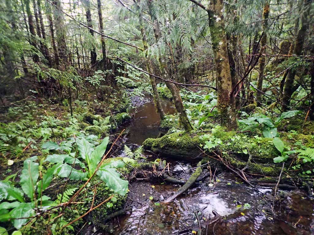
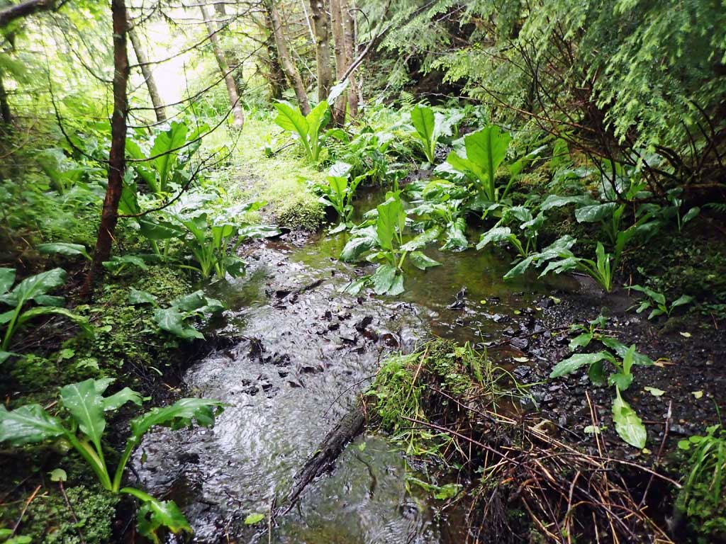
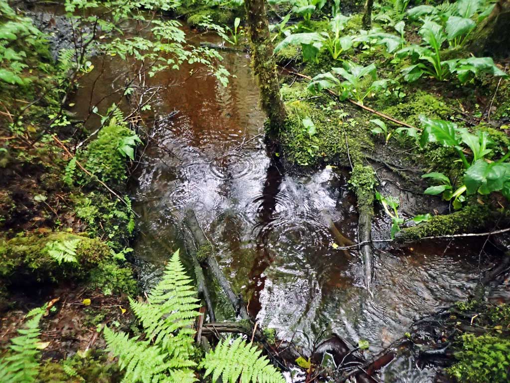
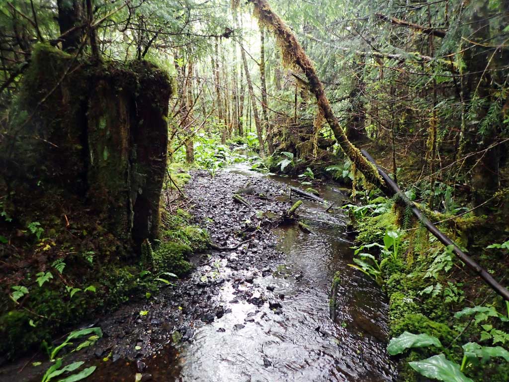
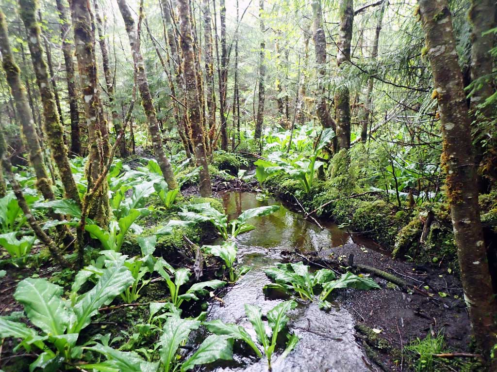
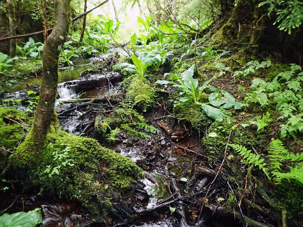
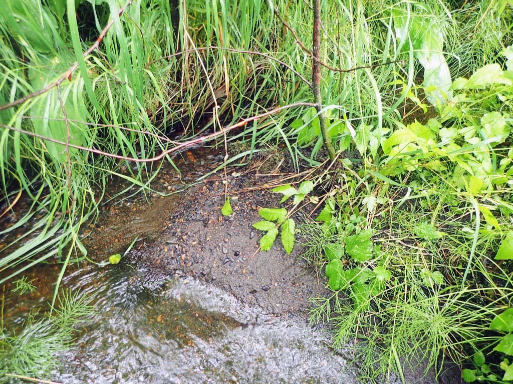
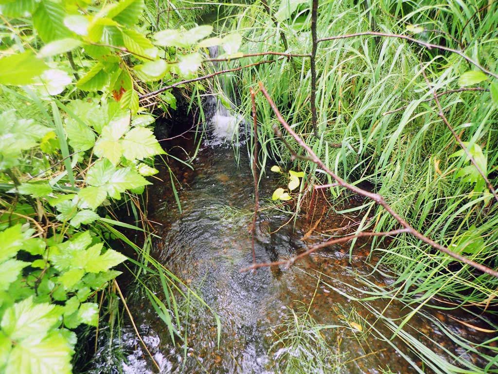
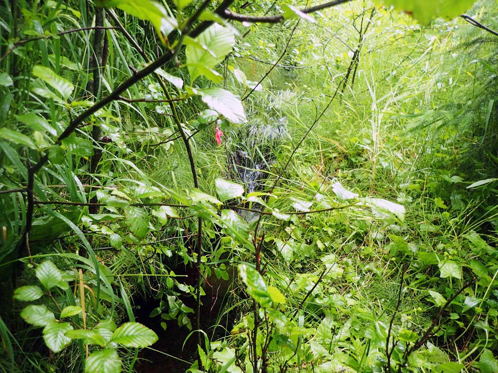
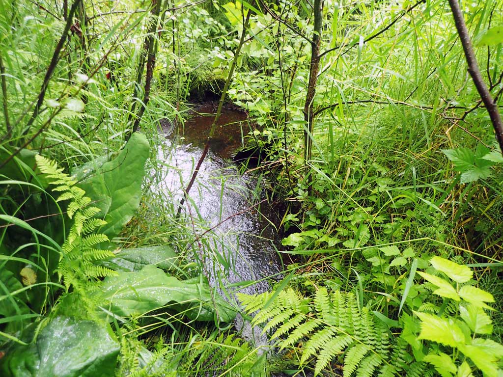
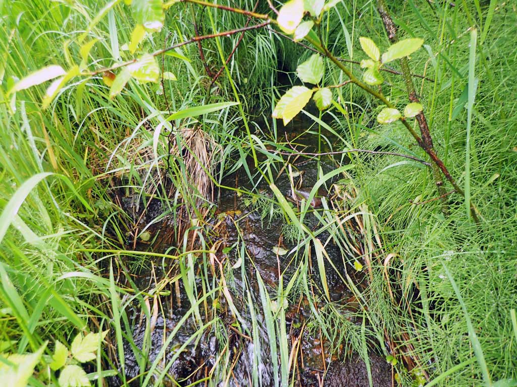
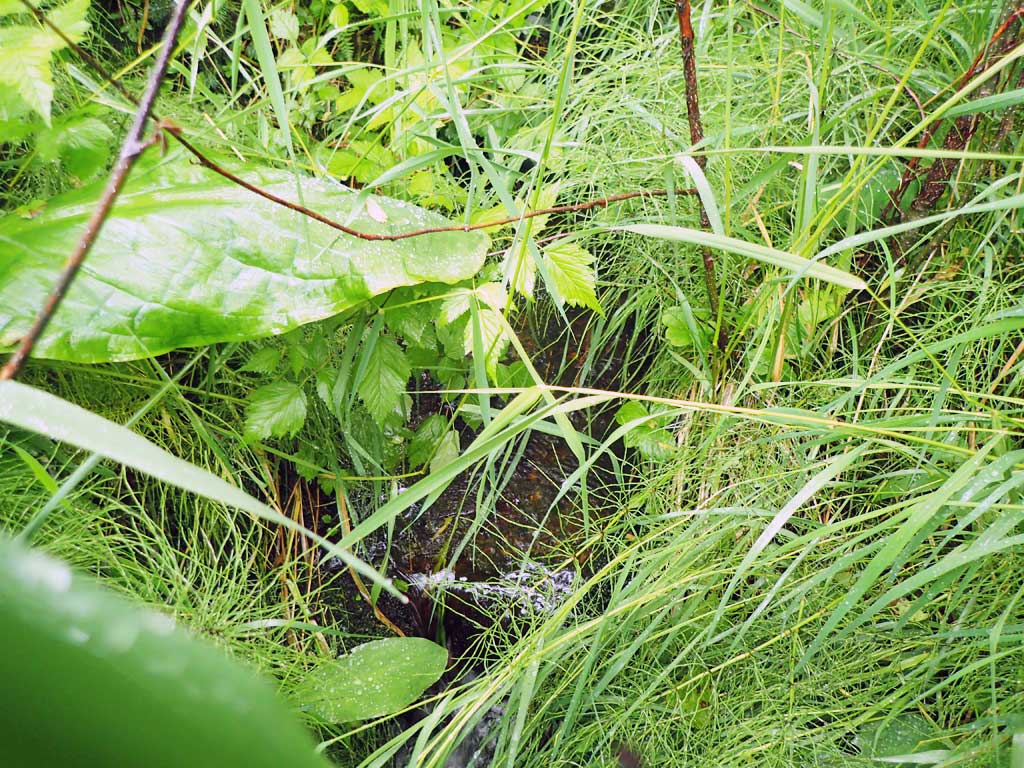
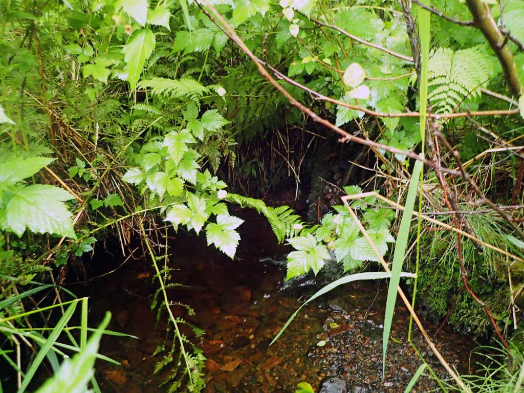
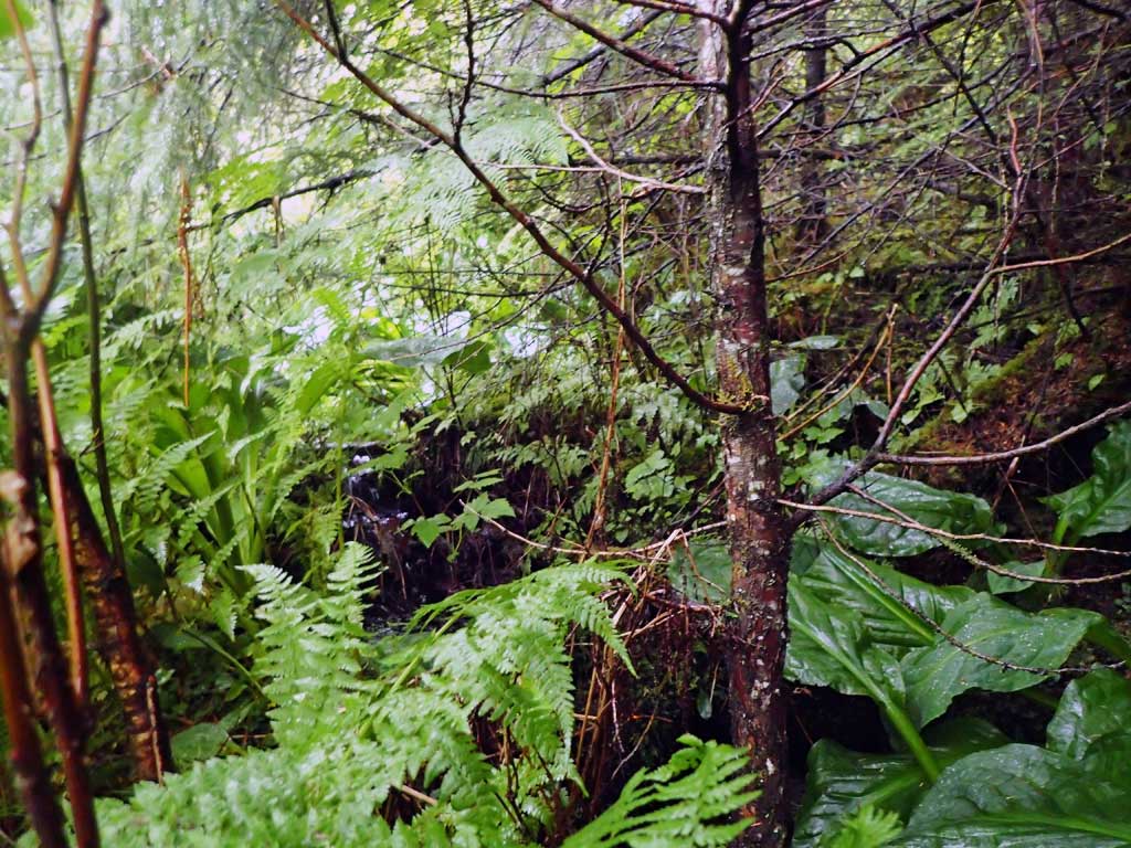
Comments: Upstream runs from both north and south in road ditch into culvert. Downstream is nice gravel riffles and large woody debris pools, gentle gradient, cutthroat trout present. Baffles in culvert.
Culvert Measurements
| ID: 1 | Structure Type: Circular pipe (Corrugated steel) | Fish Passage Rating: | |||||||||||||||||||||||||||||||||||||||||
|
|
|
|||||||||||||||||||||||||||||||||||||||||
Comments: Outlet sitting high, not at grade. Top of culvert length 71ft. Through pipe gradient 3.78% Baffle at outlet has scoured away downstream sediment and created a .62' outfall barrier. |
|||||||||||||||||||||||||||||||||||||||||||
Culvert Observations:
|
|||||||||||||||||||||||||||||||||||||||||||
Stream Measurements
|
|
| Stream Width Type | Distance From Crossing (ft) |
Stream Width (ft) |
|---|---|---|
| Downstream ordinary high water | 35.0 | 4.00 |
| Downstream ordinary high water | 105.0 | 4.20 |
| Downstream ordinary high water | 115.0 | 3.60 |
| Upstream ordinary high water | 20.0 | 2.10 |
| Upstream ordinary high water | 40.0 | 2.30 |
| Upstream ordinary high water | 60.0 | 1.50 |
Elevations
| Locator ID | Culvert Number |
River Distance (ft)1 |
Distance From Crossing (ft)2 |
Relative Elevation (ft) |
|---|---|---|---|---|
| Road Elev | 114.68 | |||
| D/S Grade Ctrl (Thalweg) | 0.00 | 95.00 | ||
| D/S Water Surface Elev | 0.00 | 95.24 | ||
| D/S Grade Ctrl (Thalweg) | 61.00 | 97.54 | ||
| D/S Water Surface Elev | 61.00 | 97.81 | ||
| D/S Tailcrest or 1st Thalweg (gravel) | 97.00 | 98.60 | ||
| D/S Water Surface Elev | 97.00 | 98.89 | ||
| Max Pool Depth | 104.00 | 97.80 | ||
| D/S Water Surface Elev | 104.00 | 98.83 | ||
| D/S Water Surface Elev | 106.50 | 98.92 | ||
| Outlet Invert (end of mitre) | 106.50 | 98.73 | ||
| D/S Grade Ctrl (Thalweg) (Top of baffle) | 107.00 | 99.13 | ||
| D/S Water Surface Elev | 107.00 | 99.45 | ||
| Outlet Culvert Top | 114.00 | 104.38 | ||
| Inlet Culvert Top | 185.00 | 106.55 | ||
| Inlet Culvert Invert (end of mitre) | 193.00 | 101.37 | ||
| U/S Water Surface Elev | 193.00 | 102.21 | ||
| U/S Water Surface Elev | 200.00 | 102.51 | ||
| U/S Grade Ctrl (Thalweg) | 200.00 | 101.32 | ||
| U/S Grade Ctrl (Thalweg) | 213.00 | 104.01 | ||
| U/S Water Surface Elev | 213.00 | 104.40 |
Notes:
- River distance is measured continuously throughout the survey reach along the thalweg of the stream.
- Measured from each end of the crossing along the thalweg of the stream.
Fish Sampling Efforts
| Gear Type: Minnow Trap (A) | Trap Duration(h): 1.75 | |
| Comments: no fish | ||
| Gear Type: Minnow Trap (B) | Trap Duration(h): 1.75 | |
| Comments: 2 cutthroat, 20ft downstream | ||
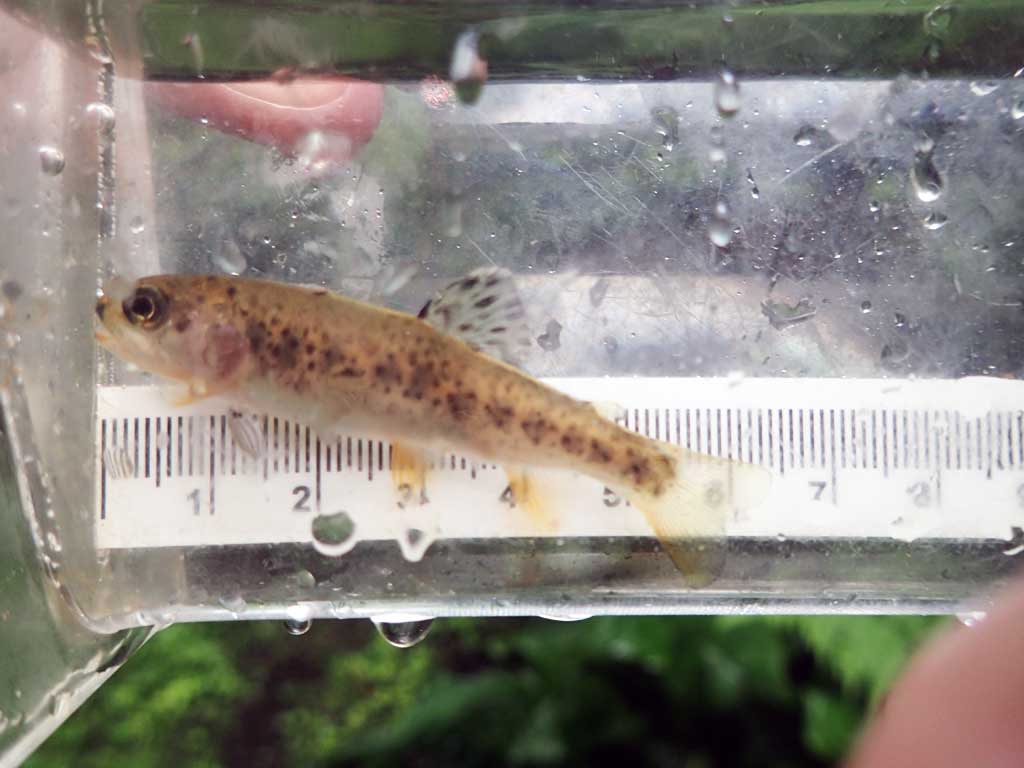
Fish Observations
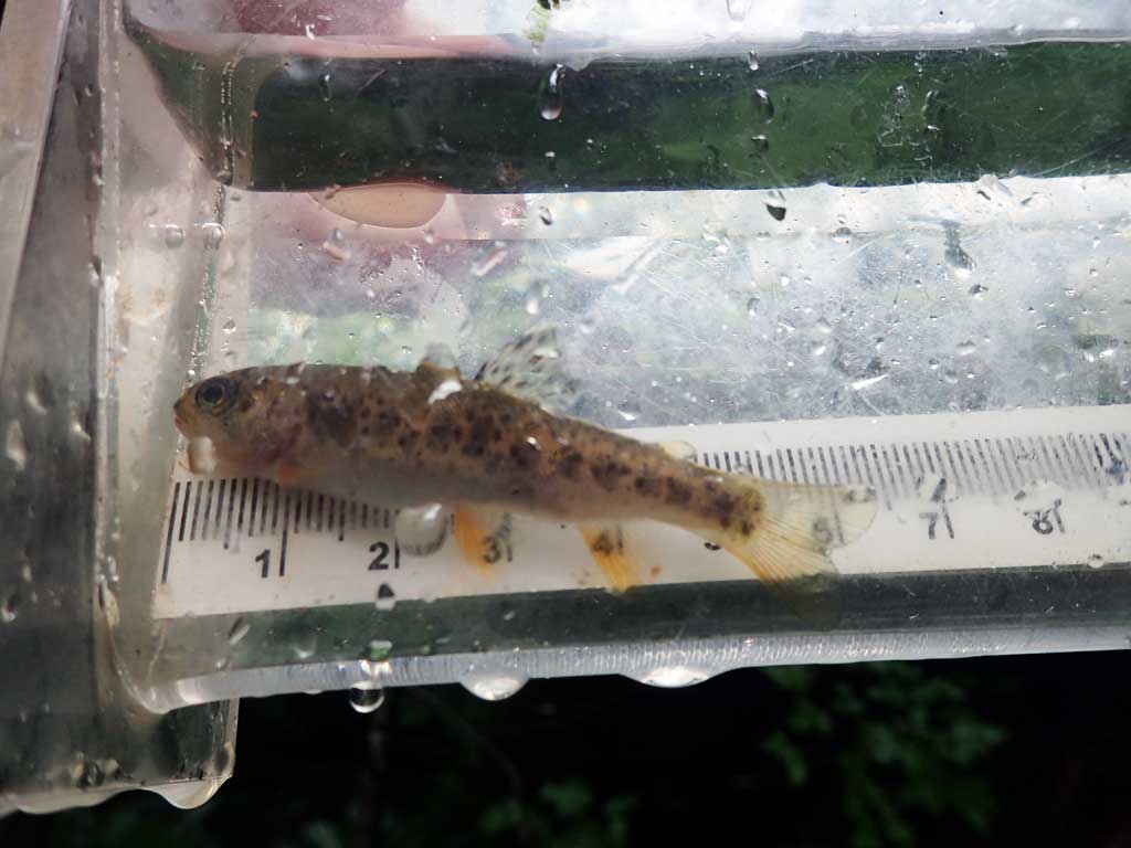
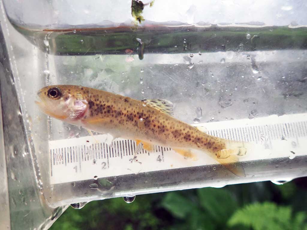
| Species: juvenile cutthroat trout | Life History: | ||
| Total Fish Observed: 2 | Fish Measured: 2 | Fork Lengths (mm) Min: 60 Max: 73 Mean: 66 | |
| Collected/Observed by Gear Type: Downstream Minnow Trap (2) | |||
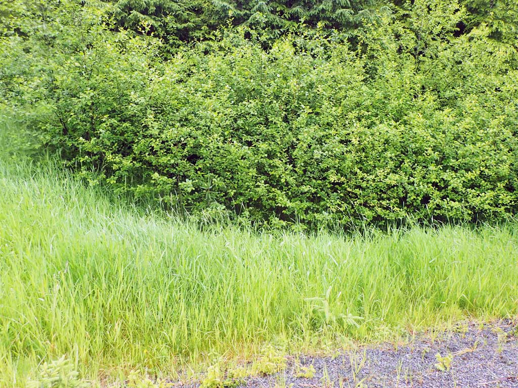
Photos
Questions or comments about this report can be directed to dfg.dsf.webmaster@alaska.gov