Fish Passage Site 10103590
Coordinates (dec. deg.): 55.74306°, -132.97127°
Legal Description: C071S081E03
Region: Southeast
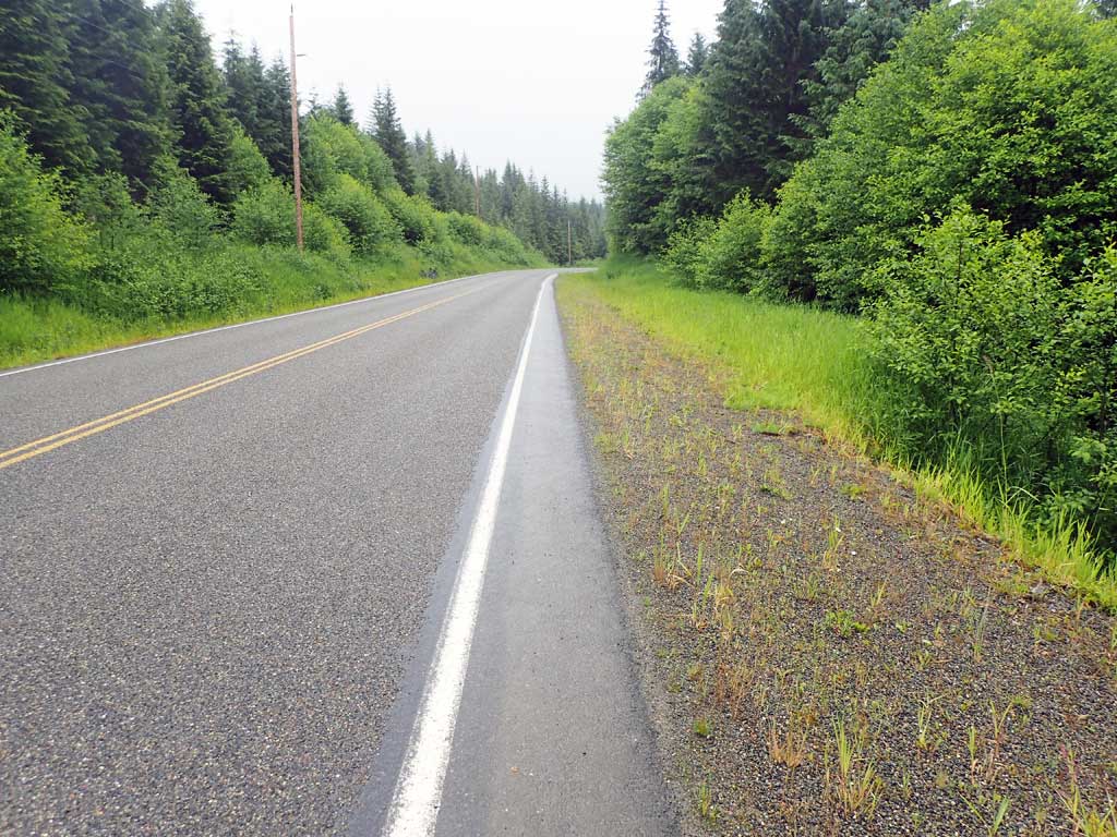
Road Name: North Prince of Wales Road
Datum: NAD83
Quad Name / ITM: Craig C-3
AWC Stream #:
Stream Name: Unnamed
Elevation:
Site Comments: Near MP 22
Survey SEA17-NPW24
Observers: Elizabeth Flory, Kelly Petty
Overall Fish Passage Rating:
Tidal: No
Backwatered: No
Step Pools: No
Construction Year:
Site Observations:
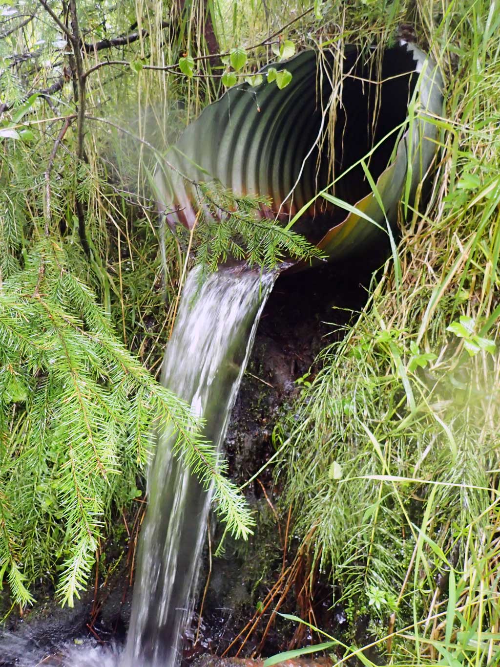
- Outfall height red
- Culvert gradient red
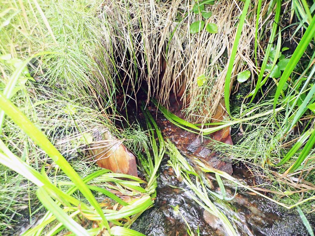
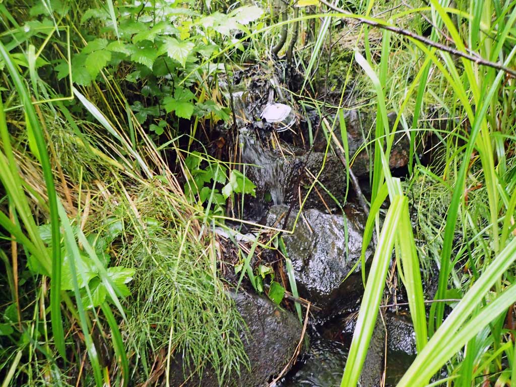
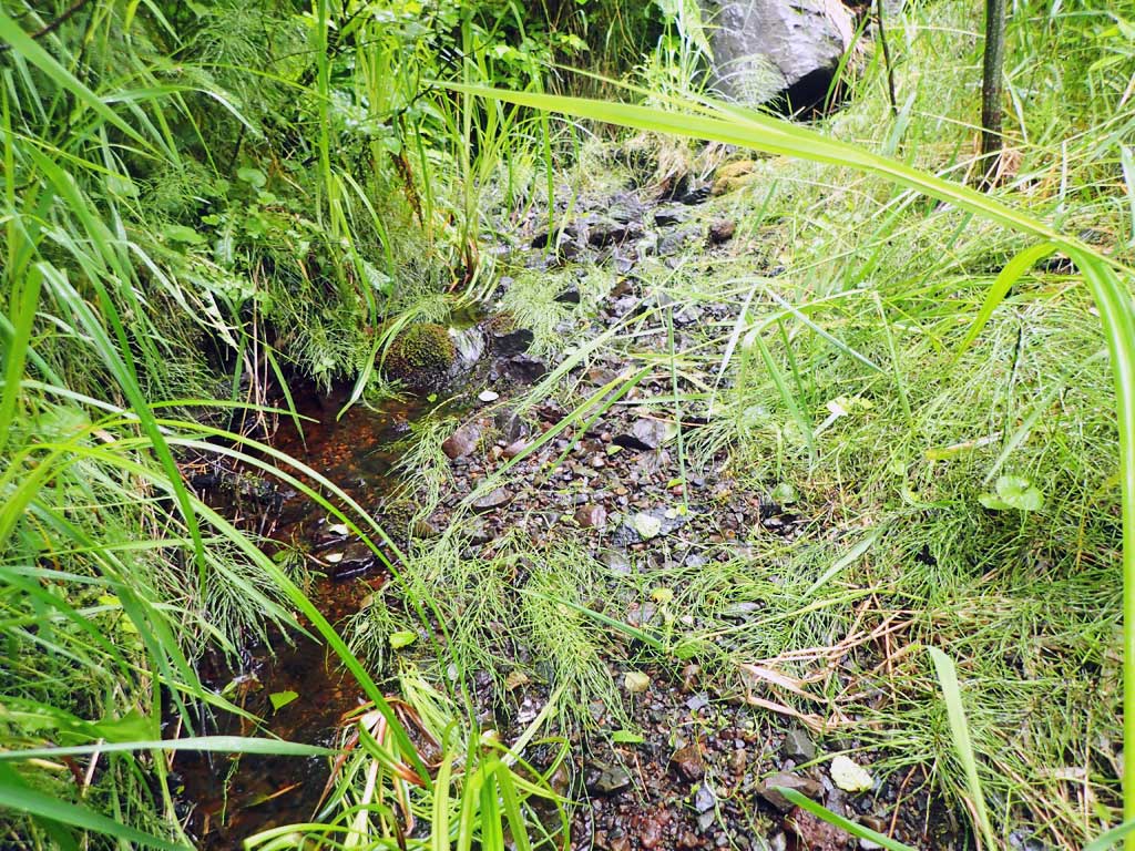
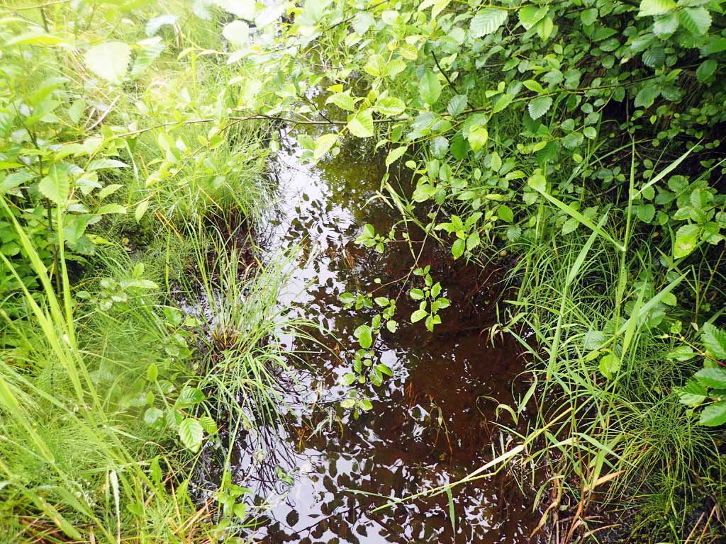
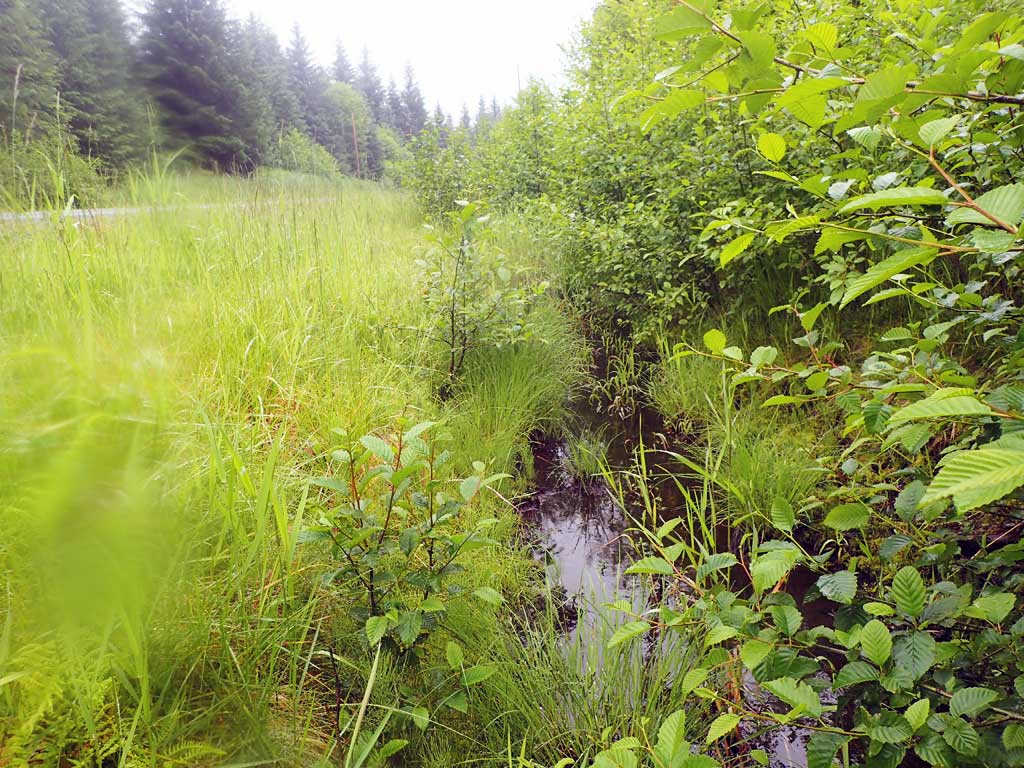
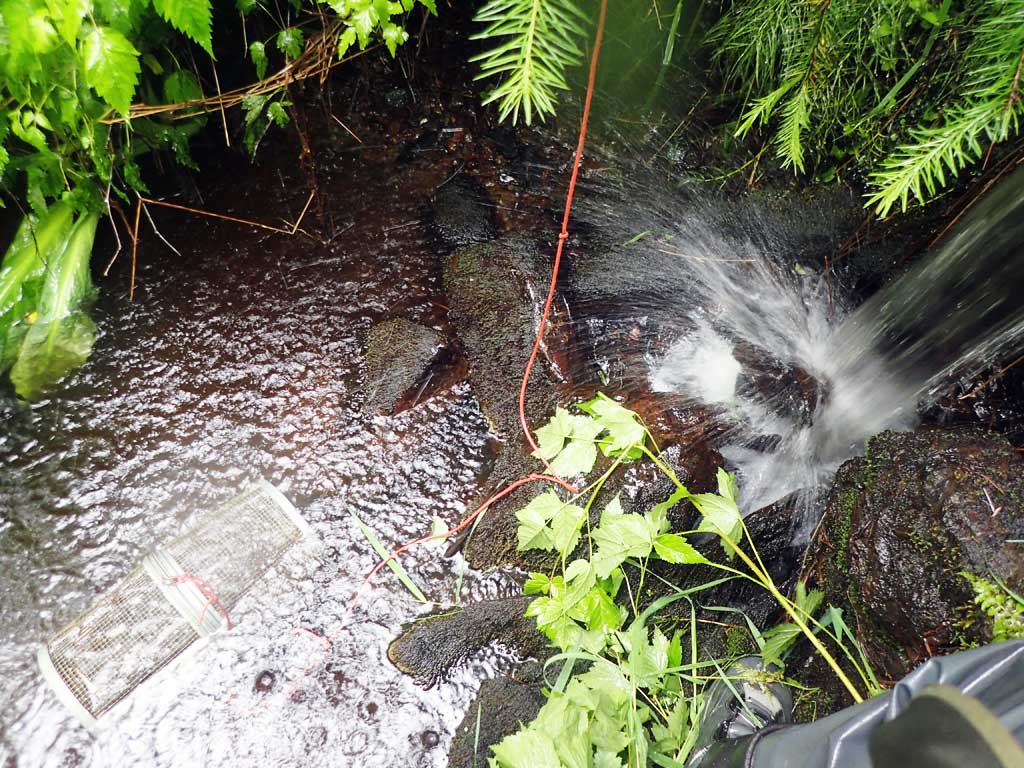
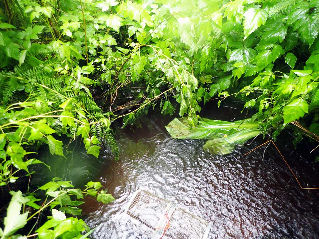
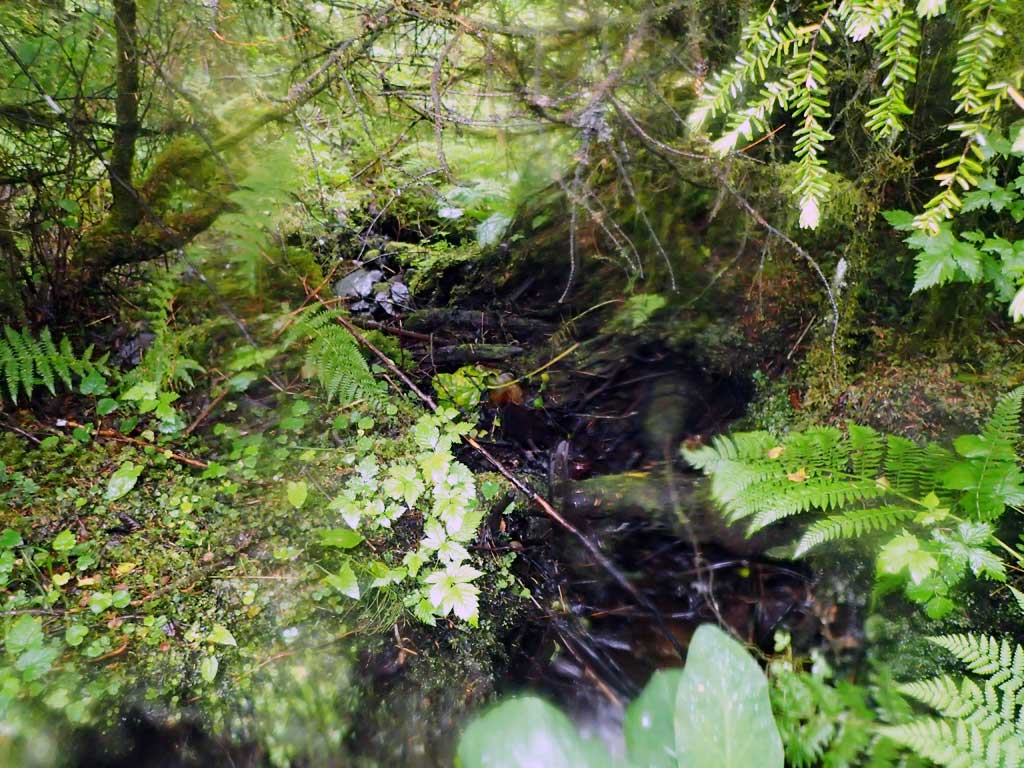
Comments: Upstream runs along road ditch so 90 degree turn to culvert. Drainage from both sides of ditch and some uphill seepage. Outfall >4ft, steep downstream, large woody debris steps, at least 10ft drop over 30ft horizontal reach. First resting upstream above 2ft high rock step.
Culvert Measurements
| ID: 1 | Structure Type: Circular pipe (Corrugated steel) | Fish Passage Rating: | |||||||||||||||||||||||||||||||||||||||||
|
|
|
|||||||||||||||||||||||||||||||||||||||||
Comments: Stream gradient is road ditch. Sharp approach angle from road ditch into pipe. Top of culvert length 75'. |
|||||||||||||||||||||||||||||||||||||||||||
Culvert Observations:
|
|||||||||||||||||||||||||||||||||||||||||||
Stream Measurements
|
|
| Stream Width Type | Distance From Crossing (ft) |
Stream Width (ft) |
|---|---|---|
| Upstream ordinary high water | 30.0 | 1.80 |
| Upstream ordinary high water | 50.0 | 2.50 |
| Upstream ordinary high water | 80.0 | 2.80 |
Elevations
| Locator ID | Culvert Number |
River Distance (ft)1 |
Distance From Crossing (ft)2 |
Relative Elevation (ft) |
|---|---|---|---|---|
| Road Elev | 114.69 | |||
| D/S Grade Ctrl (Thalweg) | 0.00 | 89.89 | ||
| D/S Water Surface Elev | 0.00 | 90.04 | ||
| D/S Grade Ctrl (Thalweg) | 14.00 | 93.68 | ||
| D/S Water Surface Elev | 14.00 | 93.87 | ||
| D/S Tailcrest or 1st Thalweg (rocks) | 26.00 | 95.89 | ||
| D/S Water Surface Elev | 26.00 | 96.07 | ||
| D/S Water Surface Elev | 36.00 | 95.49 | ||
| Max Pool Depth | 36.00 | 93.47 | ||
| D/S Grade Ctrl (Thalweg) (water first hits riprap) | 41.00 | 96.80 | ||
| D/S Water Surface Elev | 41.00 | 96.94 | ||
| Outlet Invert (on pipe) | 43.00 | 100.15 | ||
| D/S Water Surface Elev | 43.00 | 100.23 | ||
| Inlet Culvert Invert | 122.00 | 102.00 | ||
| U/S Water Surface Elev | 122.00 | 102.16 | ||
| U/S Grade Ctrl (Thalweg) | 133.00 | 106.77 | ||
| U/S Water Surface Elev | 133.00 | 107.08 | ||
| U/S Grade Ctrl (Thalweg) | 163.00 | 107.55 | ||
| U/S Water Surface Elev | 163.00 | 107.76 | ||
| U/S Water Surface Elev | 190.00 | 107.91 | ||
| U/S Grade Ctrl (Thalweg) | 190.00 | 107.56 |
Notes:
- River distance is measured continuously throughout the survey reach along the thalweg of the stream.
- Measured from each end of the crossing along the thalweg of the stream.
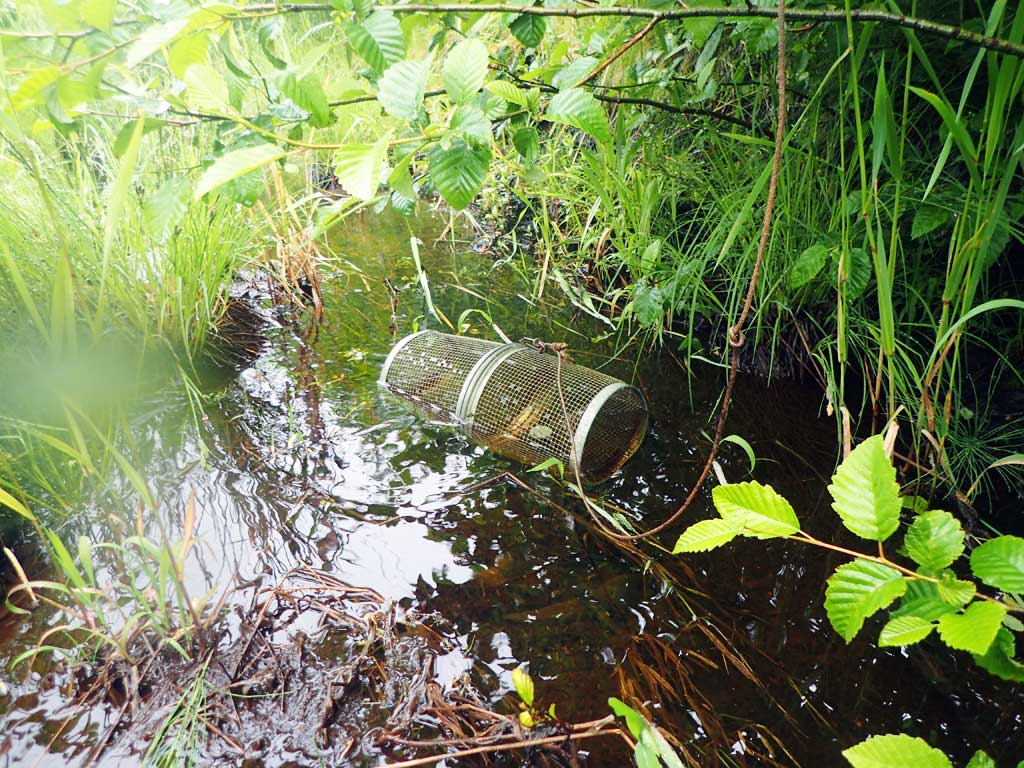
Fish Sampling Efforts
| Gear Type: Minnow Trap (A) | Trap Duration(h): 2.5 | |
| Comments: 80ft upstream, no fish | ||
| Gear Type: Minnow Trap (B) | Trap Duration(h): 2.5 | |
| Comments: 10ft downstream, no fish | ||
Fish Observations
No fish observations occurred during this survey.
Photos


Questions or comments about this report can be directed to dfg.dsf.webmaster@alaska.gov