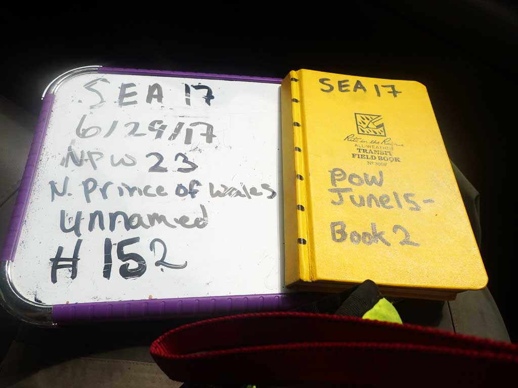
Fish Passage Site 10103589
Coordinates (dec. deg.): 55.74574°, -132.97305°
Legal Description: C071S081E03
Region: Southeast
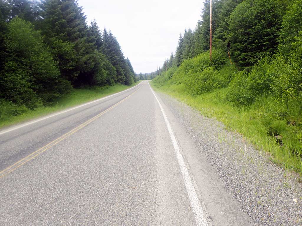
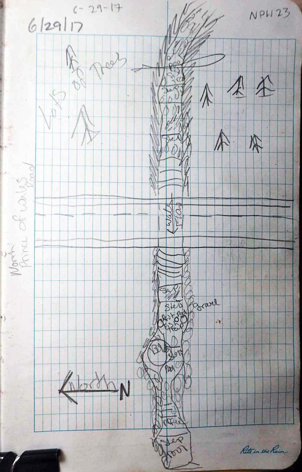
Road Name: North Prince of Wales Road
Datum: NAD83
Quad Name / ITM: Craig C-3
AWC Stream #:
Stream Name: Unnamed
Elevation:
Site Comments: Near MP 23
Survey SEA17-NPW23
Observers: Elizabeth Flory, Kelly Petty
Overall Fish Passage Rating:
Tidal: No
Backwatered: No
Step Pools: No
Construction Year:
Site Observations:
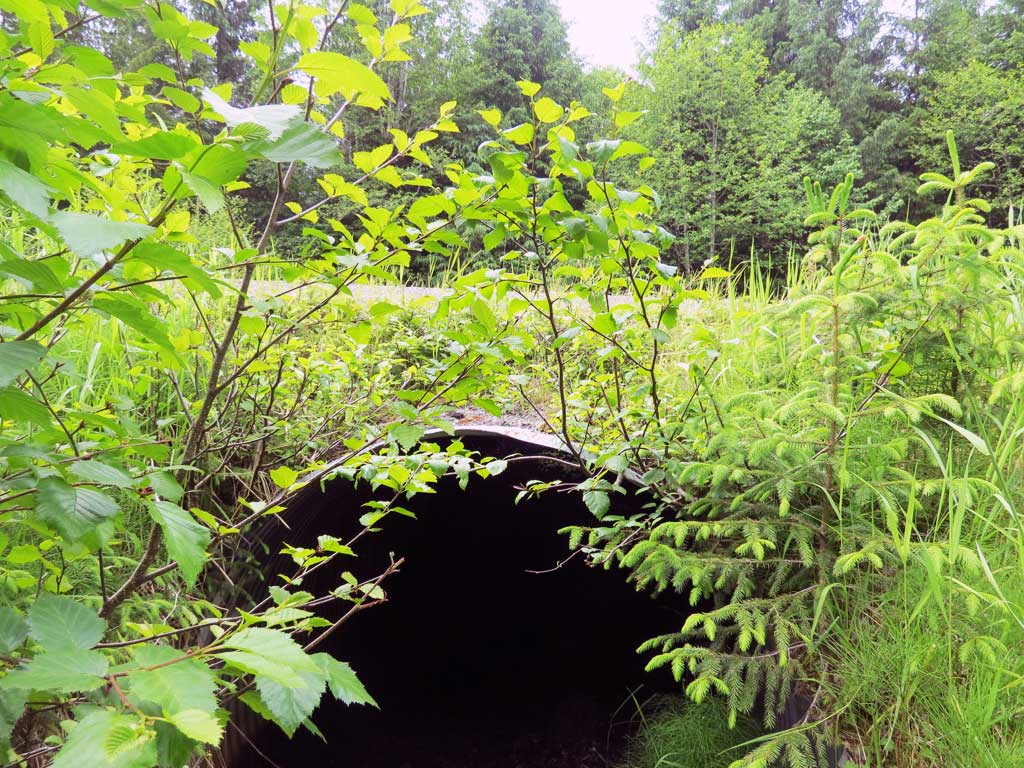
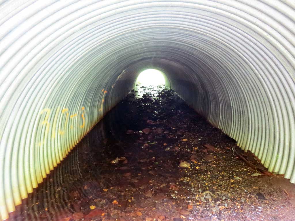
- Culvert gradient gray
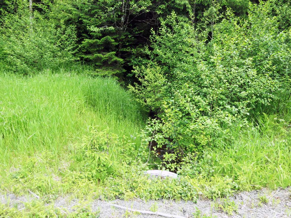
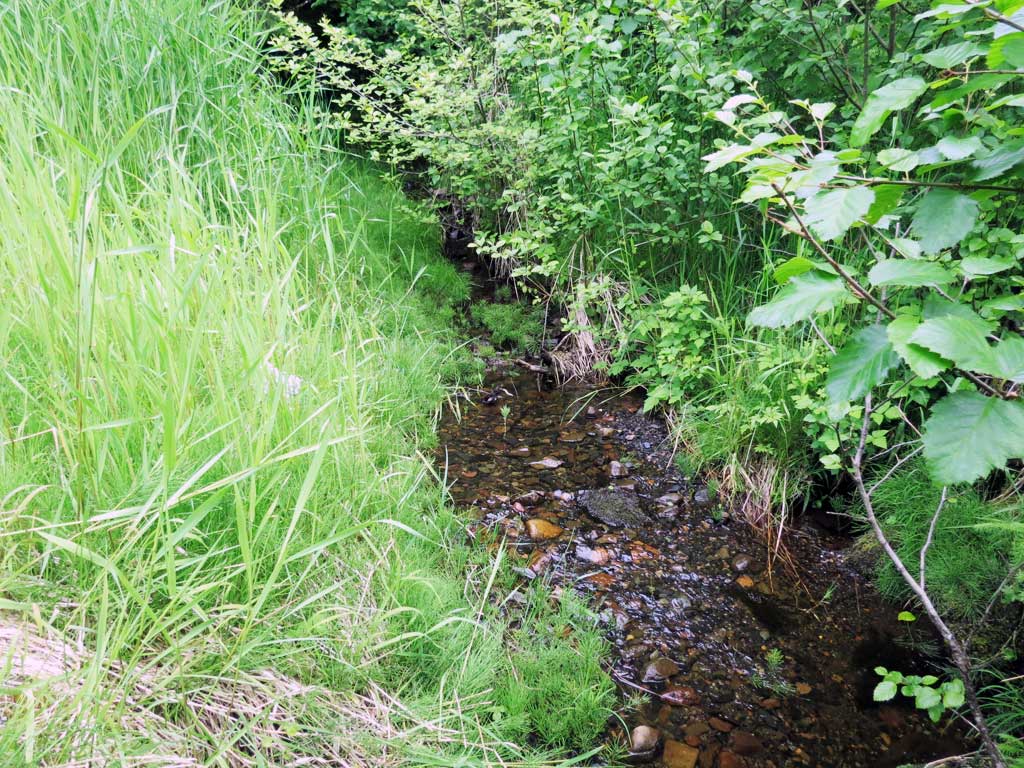
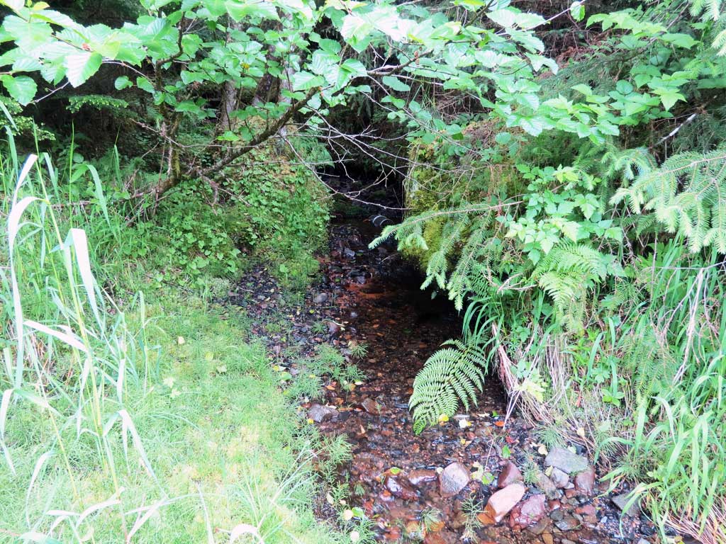
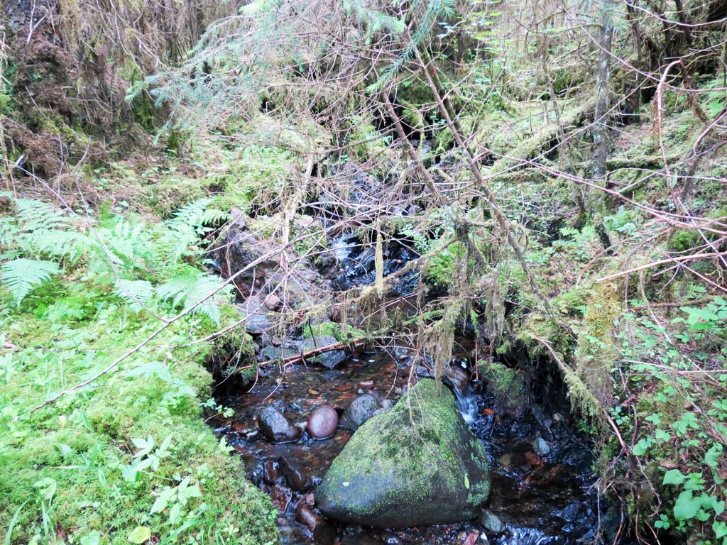
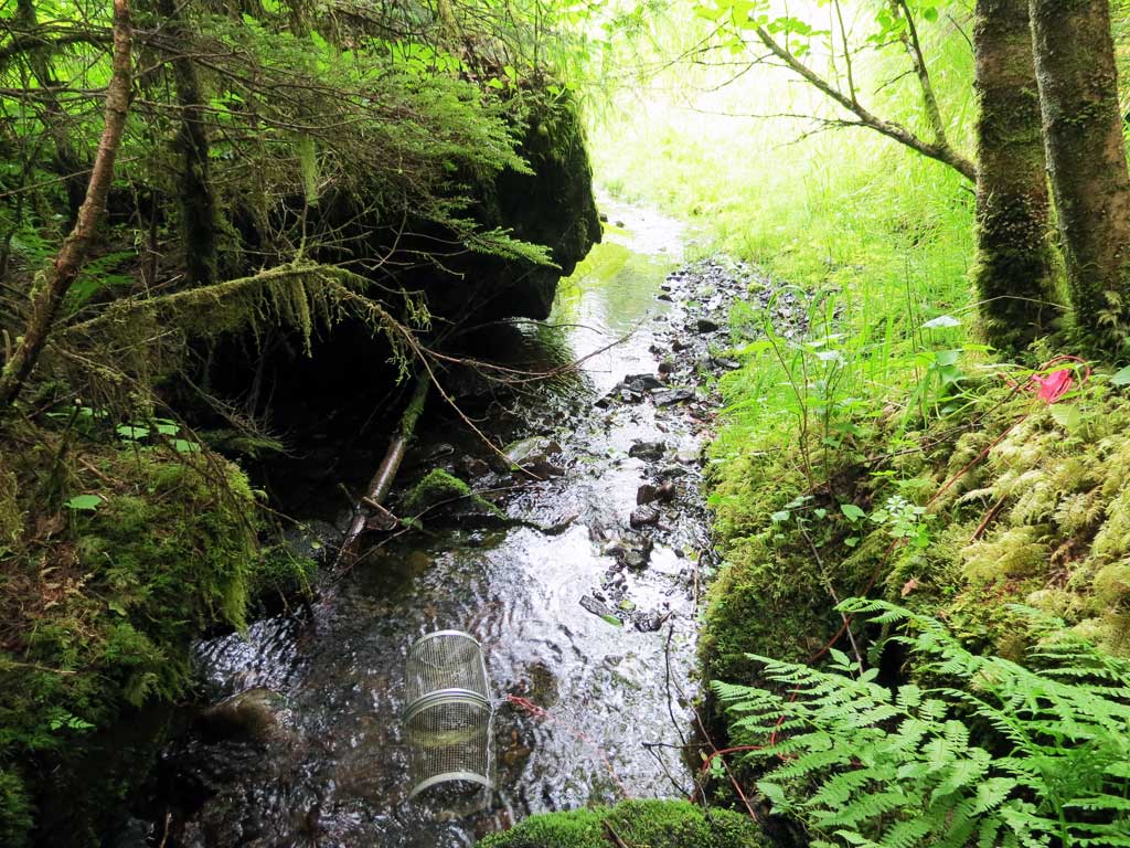
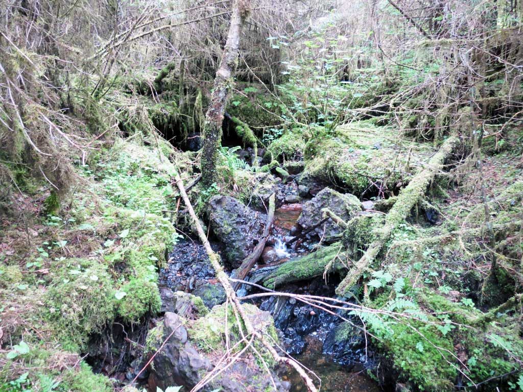
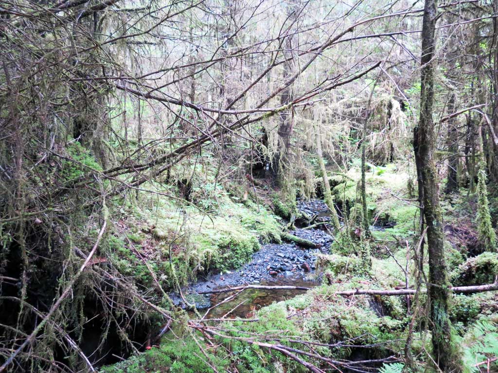
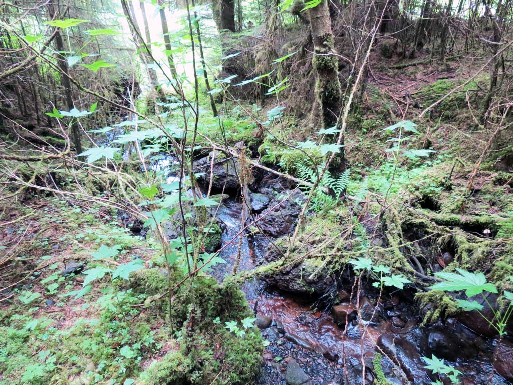
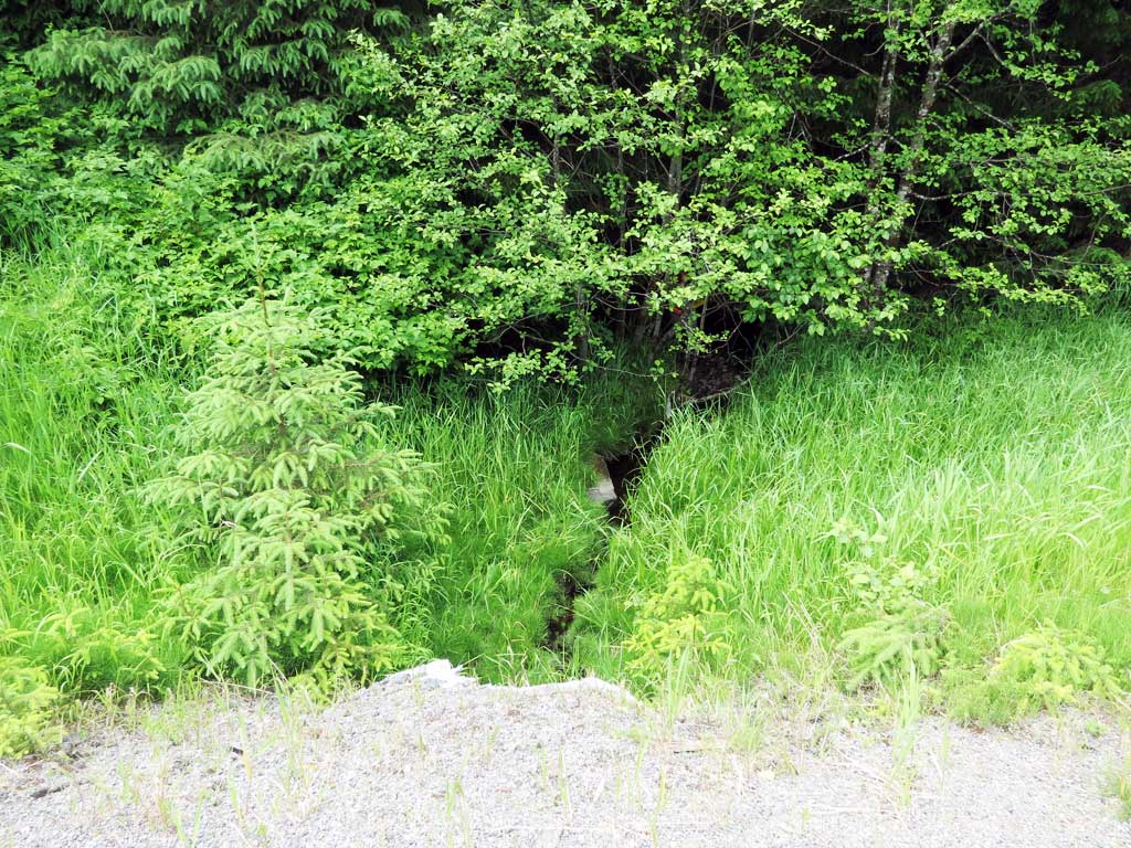
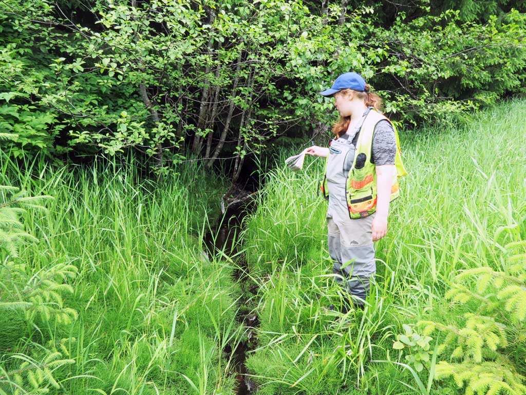
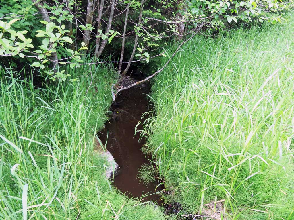
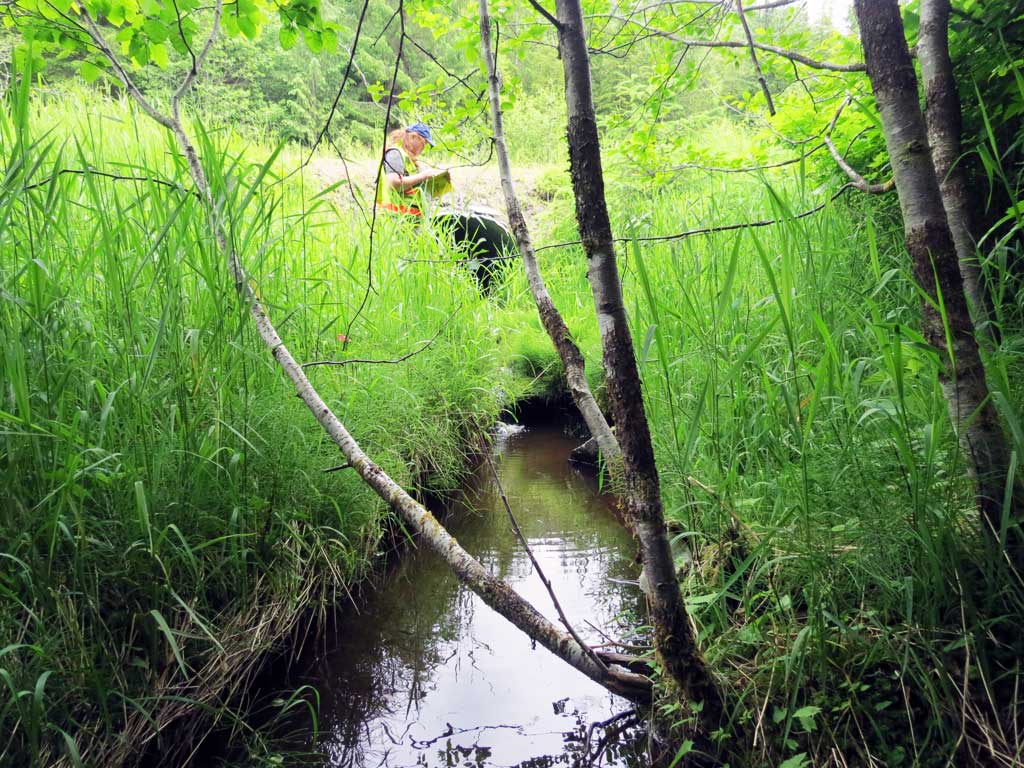
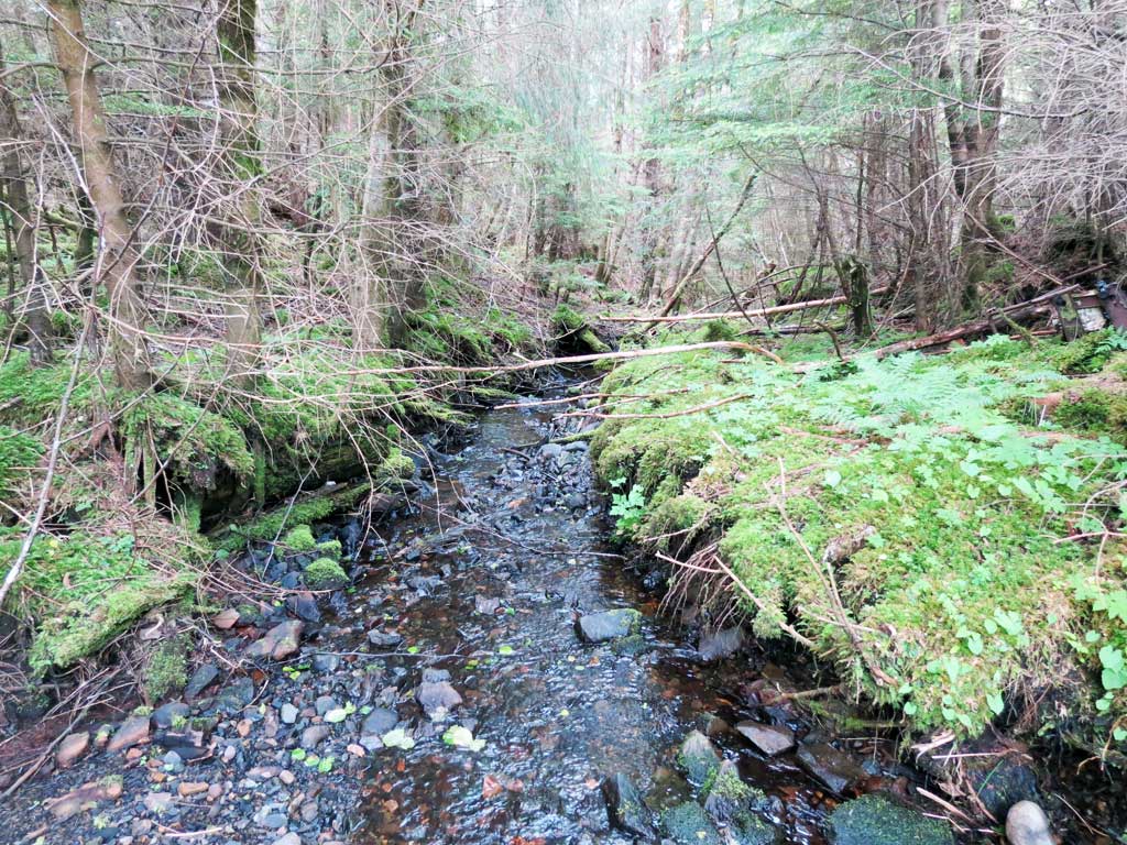
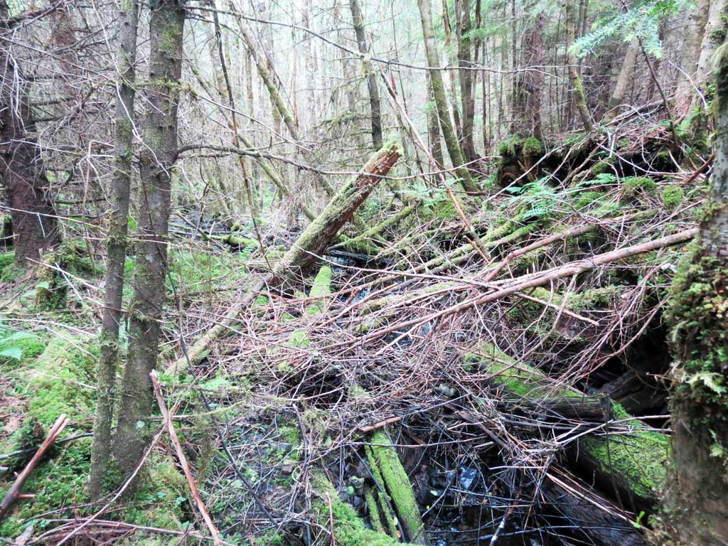
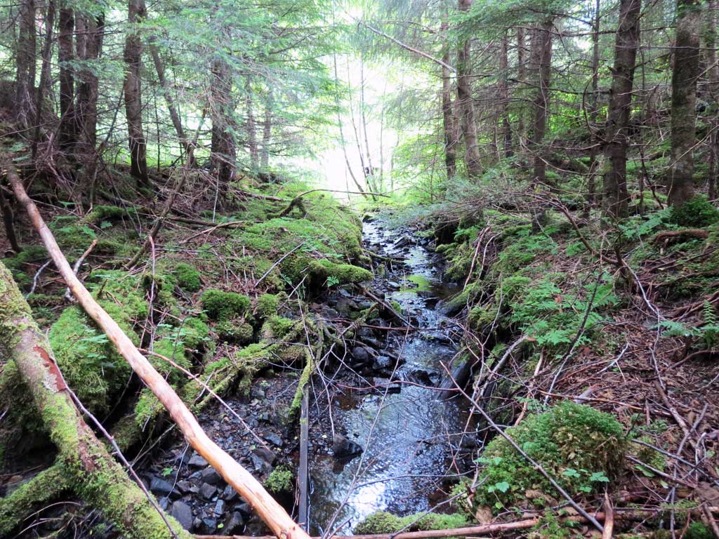
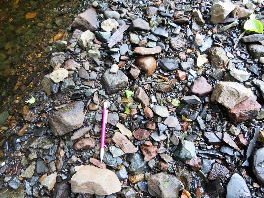
Comments: Upstream has small step pools, goes under old logging slash and climbs hill, lots of gravel. Downstream has 1ft wide channel through horsetail then 1ft step down to pool, shallow riffle step pools beyond. Simlar gradient upstream and downstream. Less brushy downstream for gradient survey. One fish observed near downstream trap, none caught.
Culvert Measurements
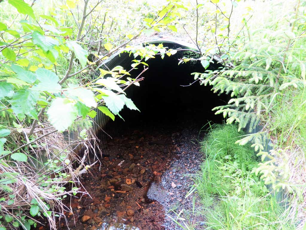
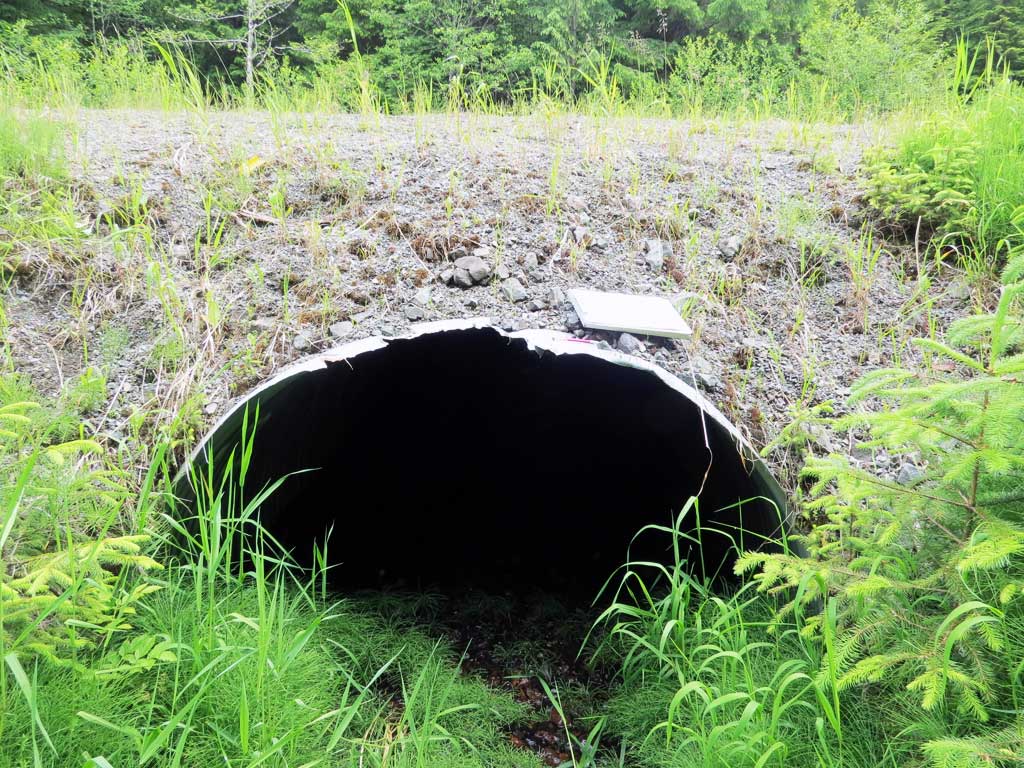
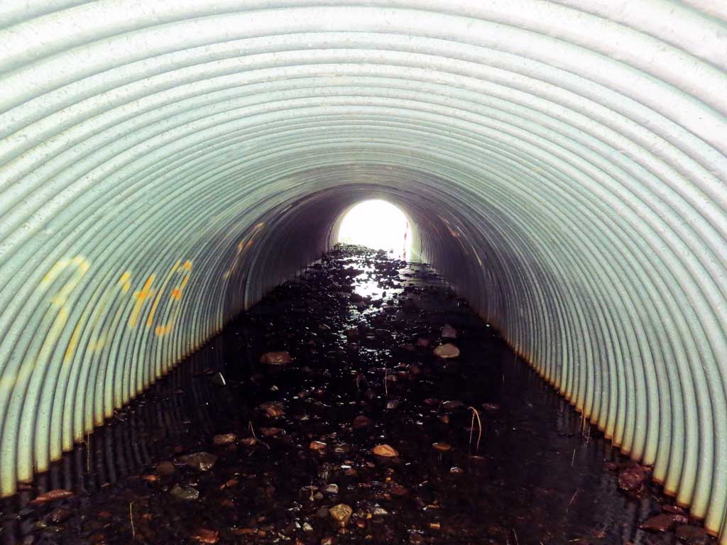
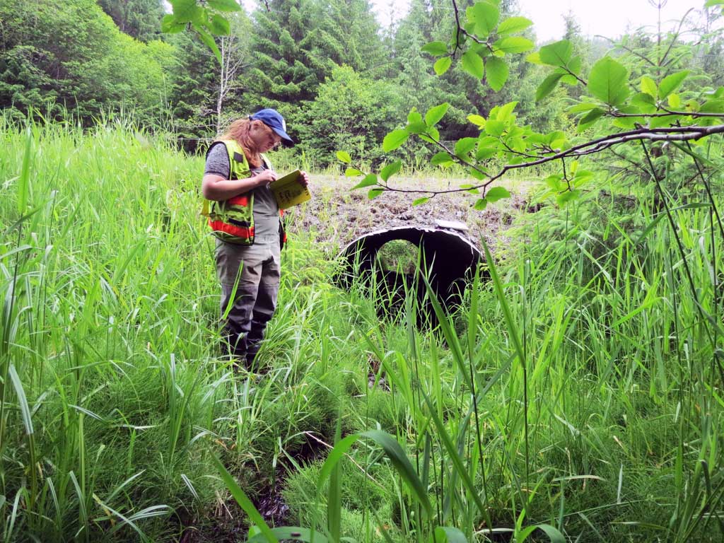
| ID: 1 | Structure Type: Circular pipe (Corrugated steel) | Fish Passage Rating: | ||||||||||||||||||||||||||||||||||||||||||
|
|
|
||||||||||||||||||||||||||||||||||||||||||
Comments: Top of outlet pipe broken. Top of pipe used for gradient. Top of culvert length 53'. Water surface gradient through culvert 1.67%. |
||||||||||||||||||||||||||||||||||||||||||||
Culvert Observations:
|
||||||||||||||||||||||||||||||||||||||||||||
Stream Measurements
|
|
| Stream Width Type | Distance From Crossing (ft) |
Stream Width (ft) |
|---|---|---|
| Downstream ordinary high water | 40.0 | 4.00 |
| Downstream ordinary high water | 50.0 | 4.00 |
| Downstream ordinary high water | 80.0 | 3.00 |
| Upstream ordinary high water | 50.0 | 3.00 |
| Upstream ordinary high water | 60.0 | 3.50 |
| Upstream ordinary high water | 80.0 | 3.00 |
Elevations
| Locator ID | Culvert Number |
River Distance (ft)1 |
Distance From Crossing (ft)2 |
Relative Elevation (ft) |
|---|---|---|---|---|
| Road Elev | 108.01 | |||
| D/S Grade Ctrl (Thalweg) (gravel step with large woody debris) | 0.00 | 91.33 | ||
| D/S Water Surface Elev | 0.00 | 91.69 | ||
| D/S Grade Ctrl (Thalweg) (gravel step with large woody debris) | 53.00 | 97.97 | ||
| D/S Water Surface Elev | 53.00 | 98.13 | ||
| D/S Tailcrest or 1st Thalweg (gravel) | 86.00 | 99.26 | ||
| D/S Water Surface Elev | 86.00 | 99.31 | ||
| D/S Water Surface Elev | 101.00 | 99.25 | ||
| Max Pool Depth | 101.00 | 97.25 | ||
| D/S Grade Ctrl (Thalweg) (step up to horsetail seep) | 110.00 | 100.01 | ||
| D/S Water Surface Elev | 110.00 | 100.09 | ||
| D/S Water Surface Elev | 112.00 | 100.53 | ||
| Outlet Invert (On substrate) | 112.00 | 100.70 | ||
| Outlet Culvert Top | 114.00 | 104.75 | ||
| Inlet Culvert Top | 167.00 | 106.11 | ||
| Inlet Culvert Invert (On substrate) | 173.00 | 101.22 | ||
| U/S Water Surface Elev | 173.00 | 101.55 | ||
| U/S Water Surface Elev | 178.00 | 101.71 | ||
| U/S Grade Ctrl (Thalweg) (logs) | 178.00 | 101.53 | ||
| U/S Grade Ctrl (Thalweg) (gravel) | 200.00 | 102.64 | ||
| U/S Water Surface Elev | 200.00 | 102.76 |
Notes:
- River distance is measured continuously throughout the survey reach along the thalweg of the stream.
- Measured from each end of the crossing along the thalweg of the stream.
Fish Sampling Efforts
| Gear Type: Minnow Trap (A) | Trap Duration(h): 1.5 | |
| Comments: 30ft upstream, no fish | ||
| Gear Type: Minnow Trap (B) | Trap Duration(h): 1.5 | |
| Comments: 1 fish observed near trap 30ft downstream, not captured | ||
| Gear Type: Visual Observation, Ground (C) | ||
| Comments: One unidentified fish observed downstream near minnow trap | ||
Fish Observations
No fish observations occurred during this survey.
Photos
Questions or comments about this report can be directed to dfg.dsf.webmaster@alaska.gov