Fish Passage Site 10103588
Coordinates (dec. deg.): 55.74686°, -132.97406°
Legal Description: C071S081E03
Region: Southeast
Road Name: North Prince of Wales Road
Datum: NAD83
Quad Name / ITM: Craig C-3
AWC Stream #:
Stream Name: Unnamed
Elevation:
Site Comments: None
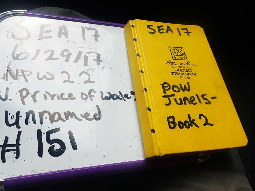
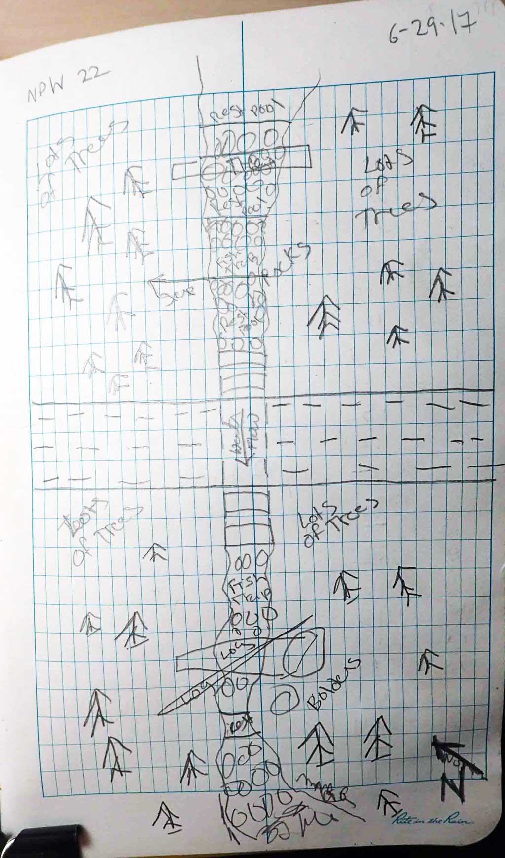
Survey SEA17-NPW22
Observers: Elizabeth Flory, Kelly Petty
Overall Fish Passage Rating:
Tidal: No
Backwatered: No
Step Pools: No
Construction Year:
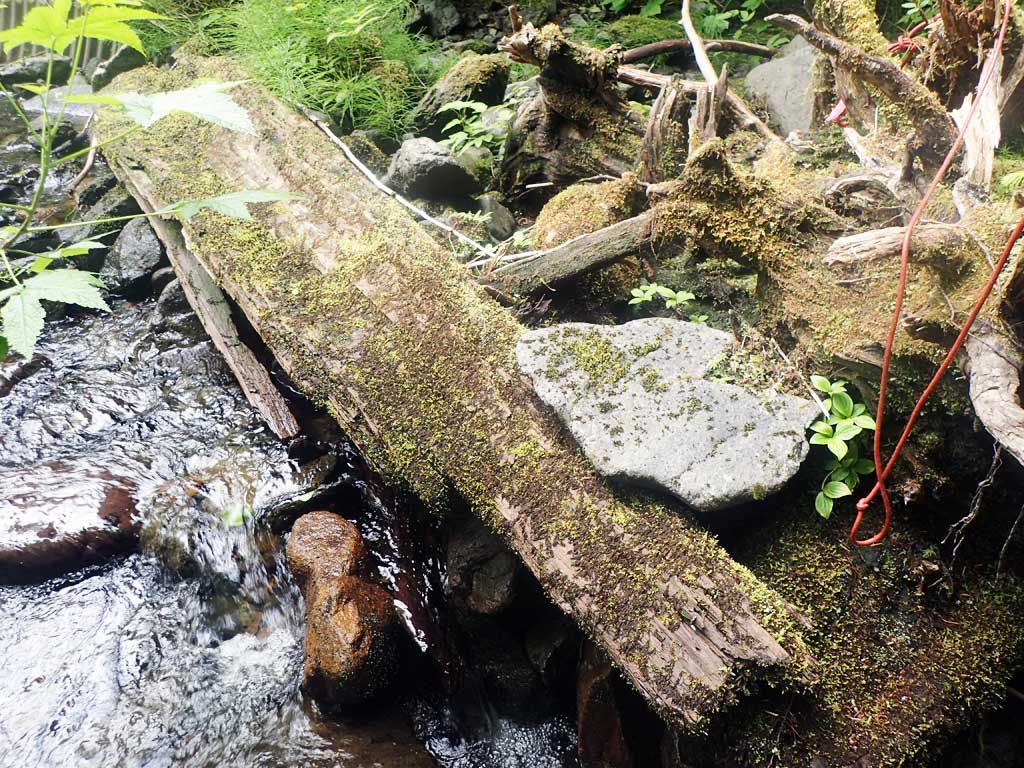
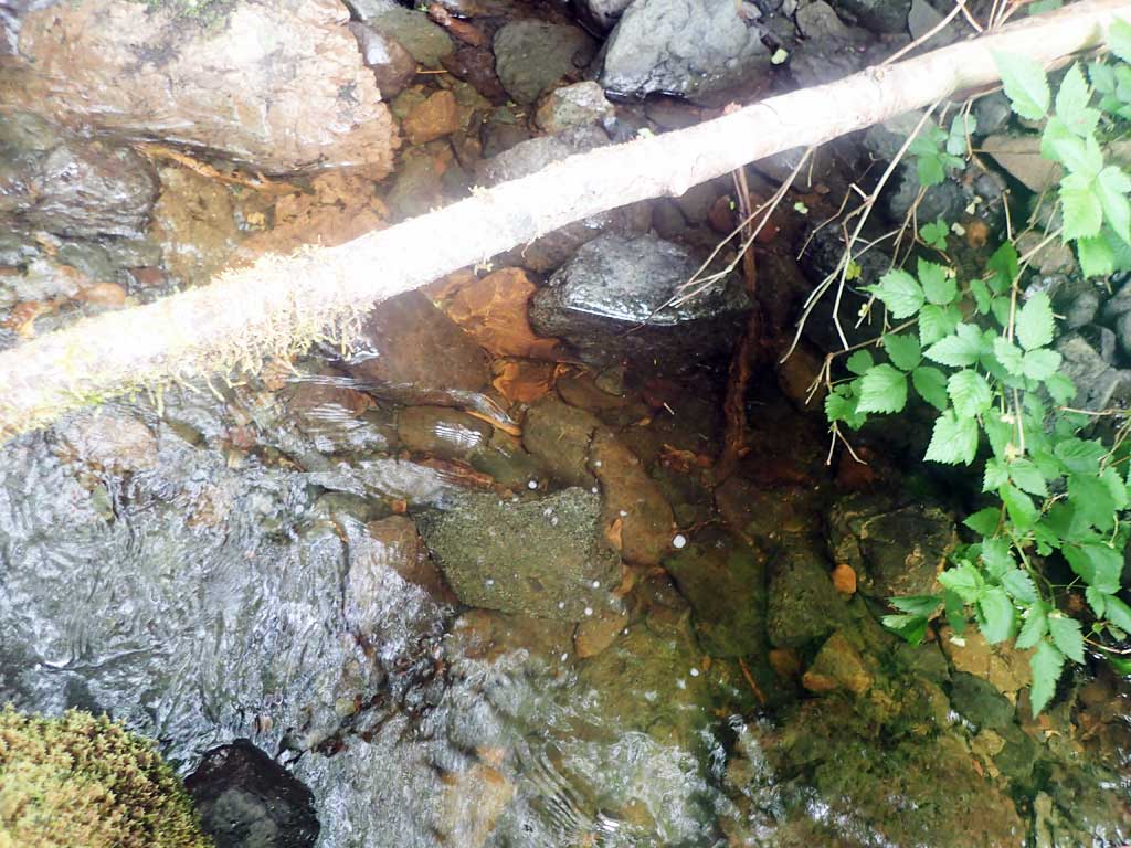
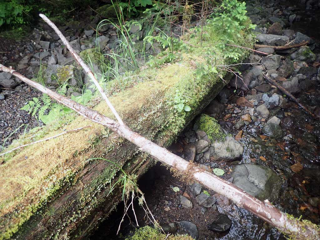
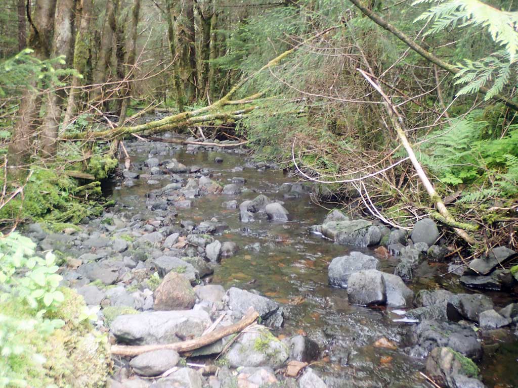
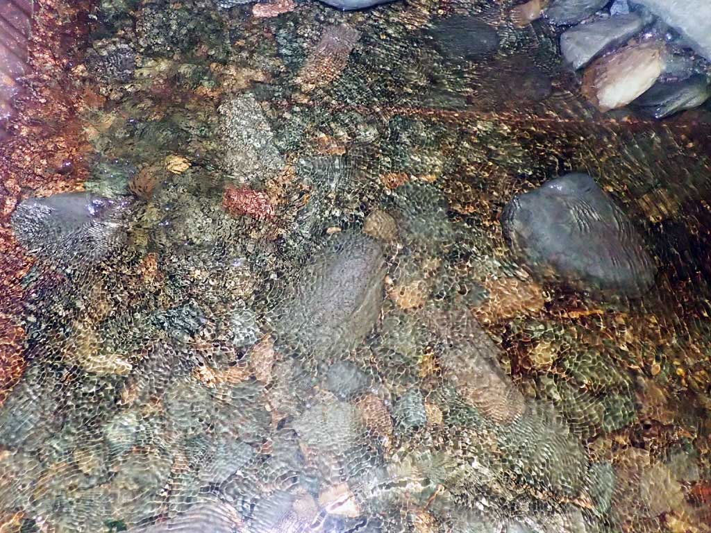
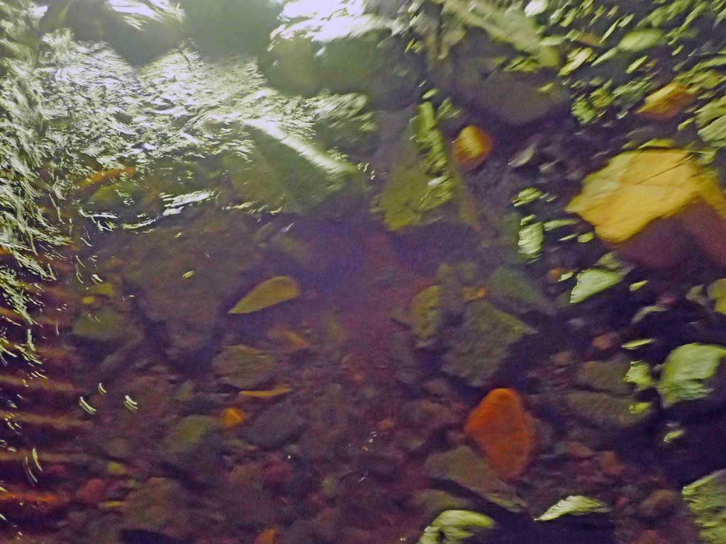
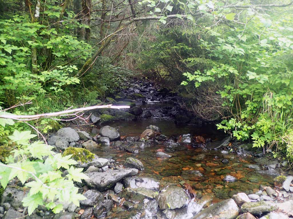
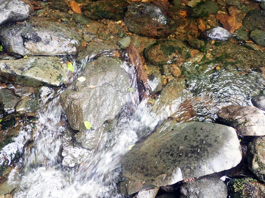
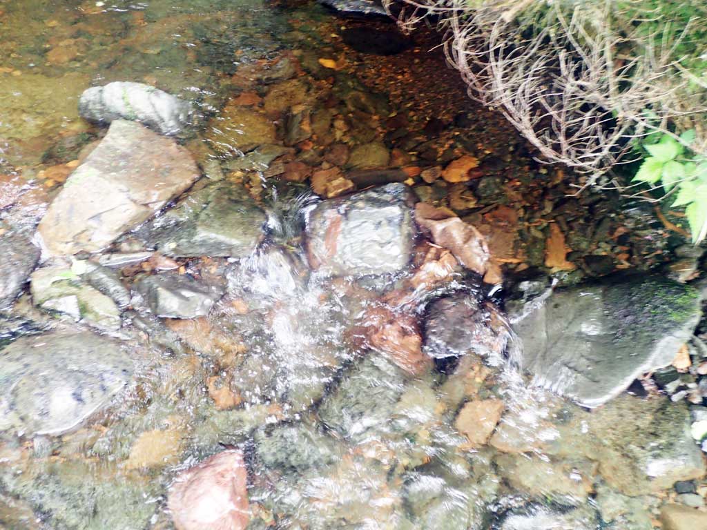
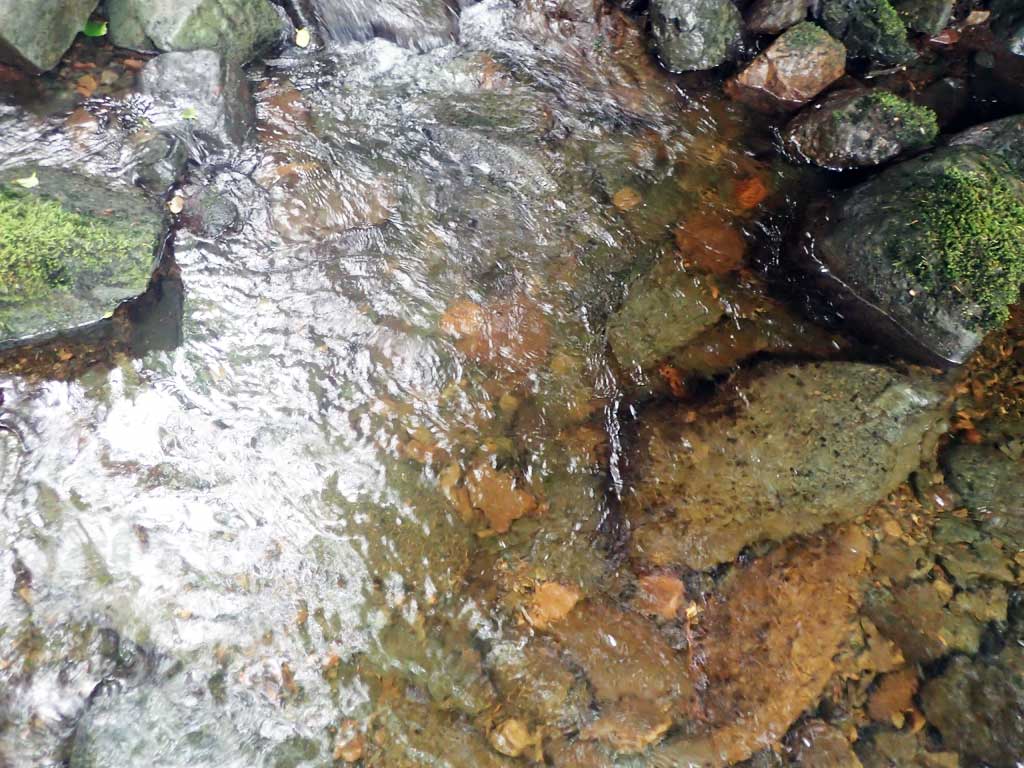
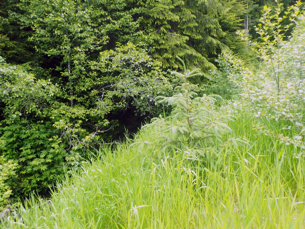
Comments: Nice habitat upstream, step pools, steeper gradient. Small fish observed upstream, none caught. Downstream mostly low gradient riffle, lots of gravel, a few deep pools, not much woody debris. Downstream gradient surveyed as less brush. Similar gradient upstream and downstream.
Culvert Measurements
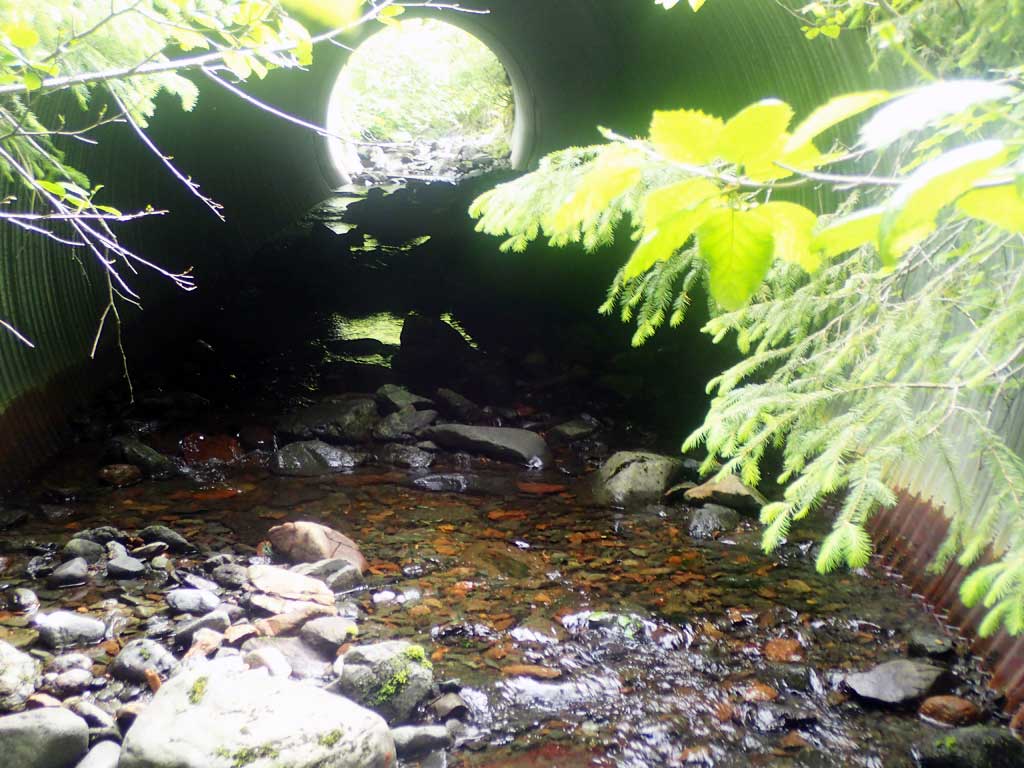
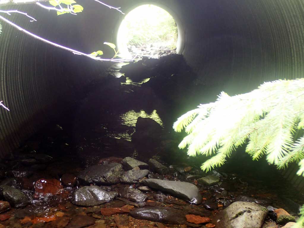
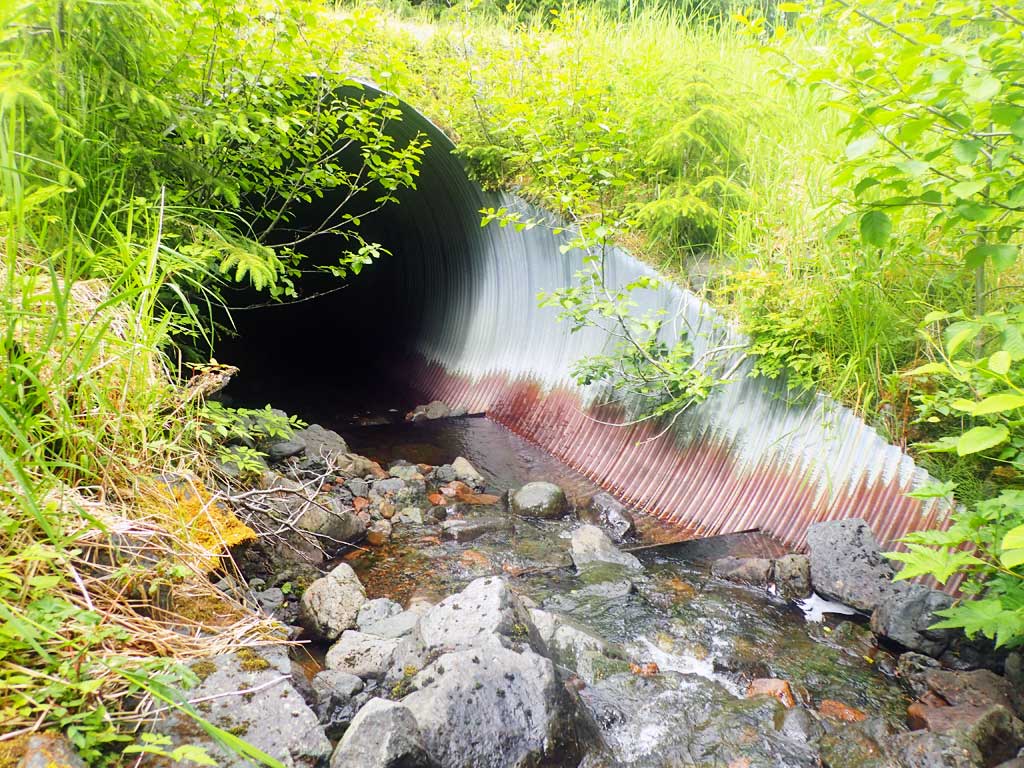
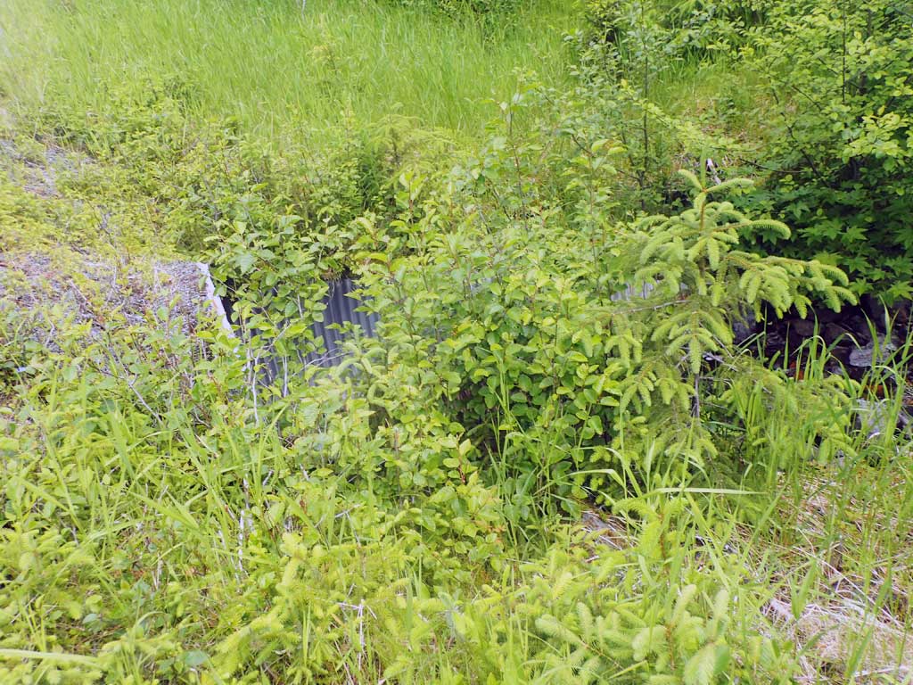
| ID: 1 | Structure Type: Circular pipe (Corrugated steel) | Fish Passage Rating: | |||||||||||||||||||||||||||||||||||||||||
|
|
|
|||||||||||||||||||||||||||||||||||||||||
Comments: Pretty rusty below waterline. Pipe gradient close to gradient of stream. Long 14ft mitres. Culvert does not have complete bedload coverage thoughout pipe, it is not embedded. Baffles appear to be holding or capturing sediment and culvert is set to within 1% of stream gradient. Top of culvert length 56'. |
|||||||||||||||||||||||||||||||||||||||||||
Stream Measurements
|
|
| Stream Width Type | Distance From Crossing (ft) |
Stream Width (ft) |
|---|---|---|
| Downstream ordinary high water | 65.0 | 8.50 |
| Downstream ordinary high water | 100.0 | 8.00 |
| Downstream ordinary high water | 140.0 | 7.75 |
| Upstream ordinary high water | 60.0 | 8.00 |
| Upstream ordinary high water | 80.0 | 7.30 |
| Upstream ordinary high water | 100.0 | 6.50 |
Elevations
| Locator ID | Culvert Number |
River Distance (ft)1 |
Distance From Crossing (ft)2 |
Relative Elevation (ft) |
|---|---|---|---|---|
| Road Elev | 115.03 | |||
| D/S Grade Ctrl (Thalweg) | 0.00 | 96.25 | ||
| D/S Water Surface Elev | 0.00 | 96.50 | ||
| D/S Grade Ctrl (Thalweg) | 43.00 | 97.96 | ||
| D/S Water Surface Elev | 43.00 | 98.26 | ||
| D/S Grade Ctrl (Thalweg) | 115.00 | 99.99 | ||
| D/S Water Surface Elev | 115.00 | 100.24 | ||
| D/S Grade Ctrl (Thalweg) | 125.00 | 100.54 | ||
| D/S Water Surface Elev | 125.00 | 100.71 | ||
| Outlet Invert (end of mitre, on substrate) | 132.00 | 101.31 | ||
| D/S Water Surface Elev | 132.00 | 101.46 | ||
| Outlet Culvert Top | 146.00 | 109.43 | ||
| Inlet Culvert Top | 202.00 | 111.78 | ||
| Inlet Culvert Invert (end of mitre, on substrate) | 216.00 | 104.27 | ||
| U/S Water Surface Elev | 216.00 | 104.43 | ||
| U/S Grade Ctrl (Thalweg) | 219.00 | 104.59 | ||
| U/S Water Surface Elev | 219.00 | 104.96 | ||
| U/S Grade Ctrl (Thalweg) | 244.00 | 106.16 | ||
| U/S Water Surface Elev | 244.00 | 106.74 |
Notes:
- River distance is measured continuously throughout the survey reach along the thalweg of the stream.
- Measured from each end of the crossing along the thalweg of the stream.
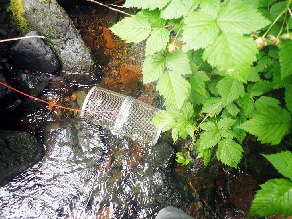
Fish Sampling Efforts
| Gear Type: Minnow Trap (A) | Trap Duration(h): 2.0 | |
| Comments: 20ft upstream, no fish | ||
| Gear Type: Minnow Trap (B) | Trap Duration(h): 2.0 | |
| Comments: 20ft downstream, no fish | ||
| Gear Type: Visual Observation, Ground (C) | ||
| Comments: Small fish observed upstream of culvert | ||
Fish Observations
No fish observations occurred during this survey.
Photos


Questions or comments about this report can be directed to dfg.dsf.webmaster@alaska.gov