Fish Passage Site 10103587
Coordinates (dec. deg.): 55.74779°, -132.97504°
Legal Description: C071S081E03
Region: Southeast
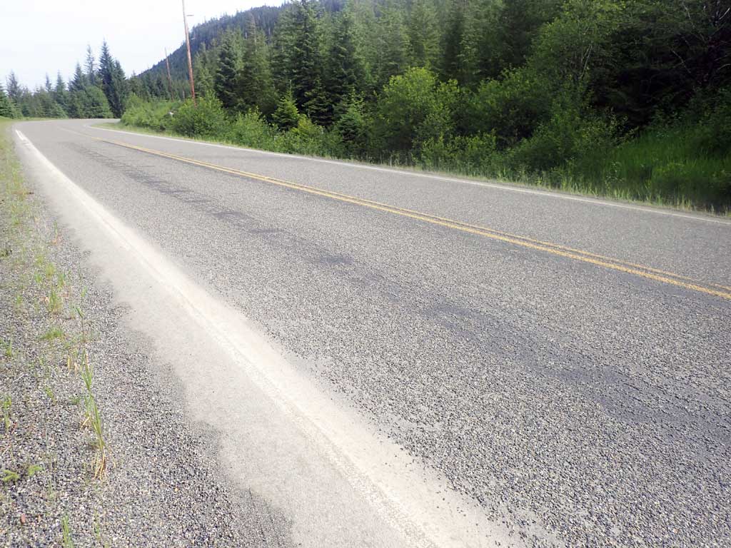
Road Name: North Prince of Wales Road
Datum: NAD83
Quad Name / ITM: Craig C-3
AWC Stream #:
Stream Name: Unnamed
Elevation:
Site Comments: Near Milepost 23
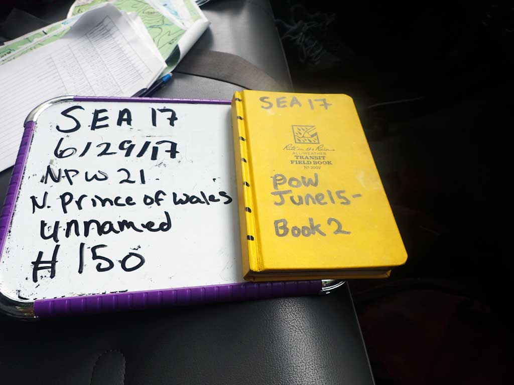
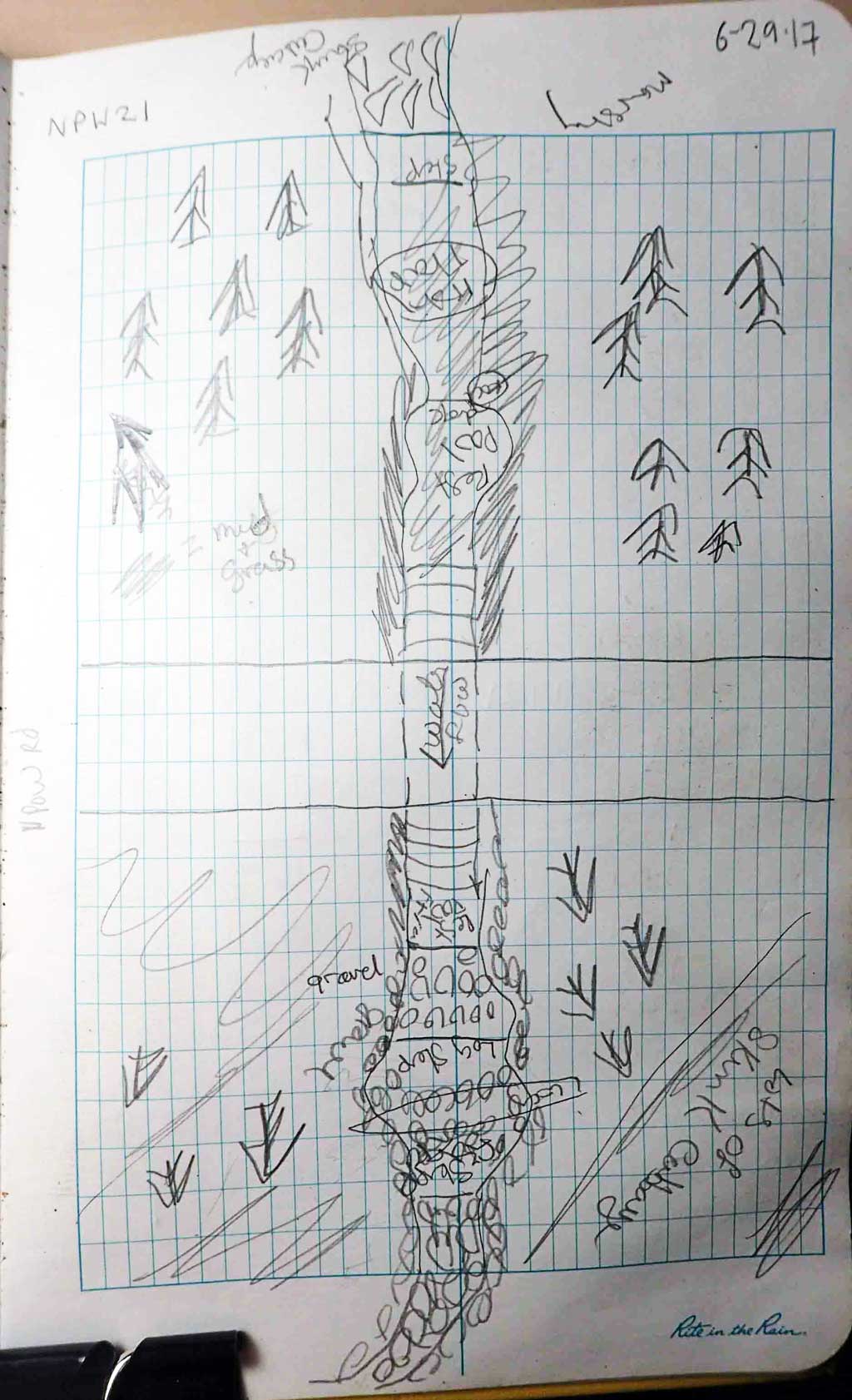
Survey SEA17-NPW21
Observers: Elizabeth Flory, Kelly Petty
Overall Fish Passage Rating:
Tidal: No
Backwatered: No
Step Pools: No
Construction Year:
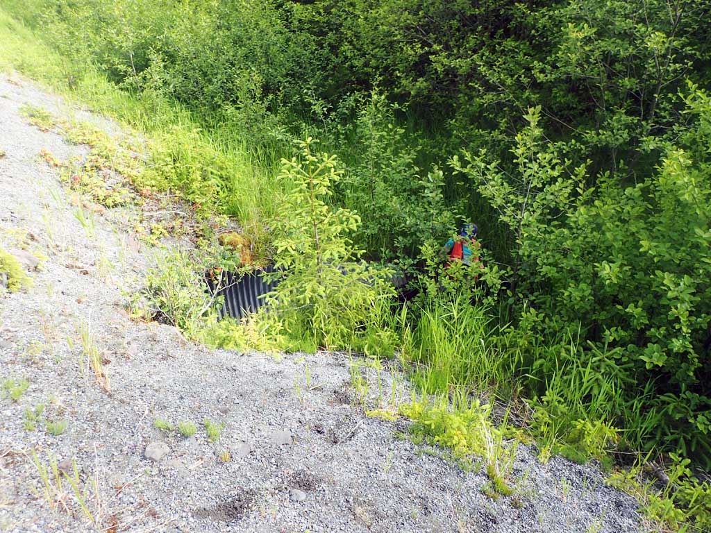
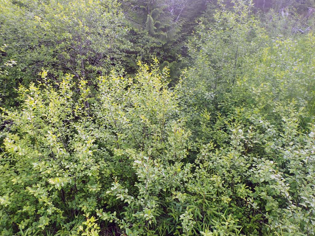
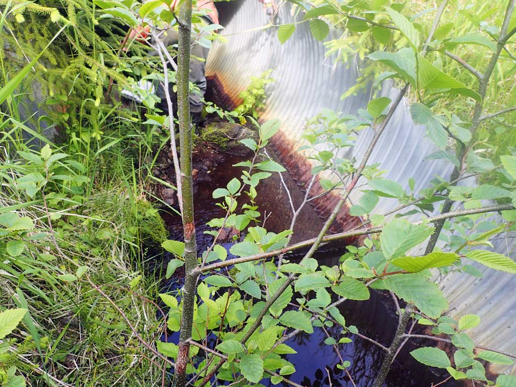
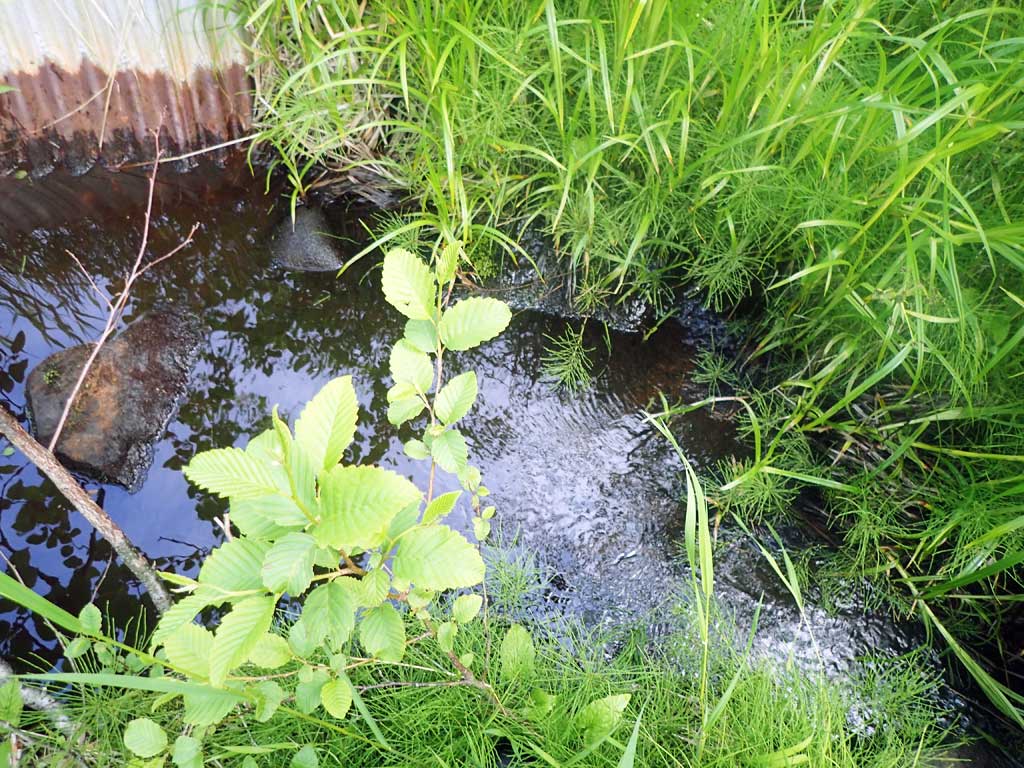
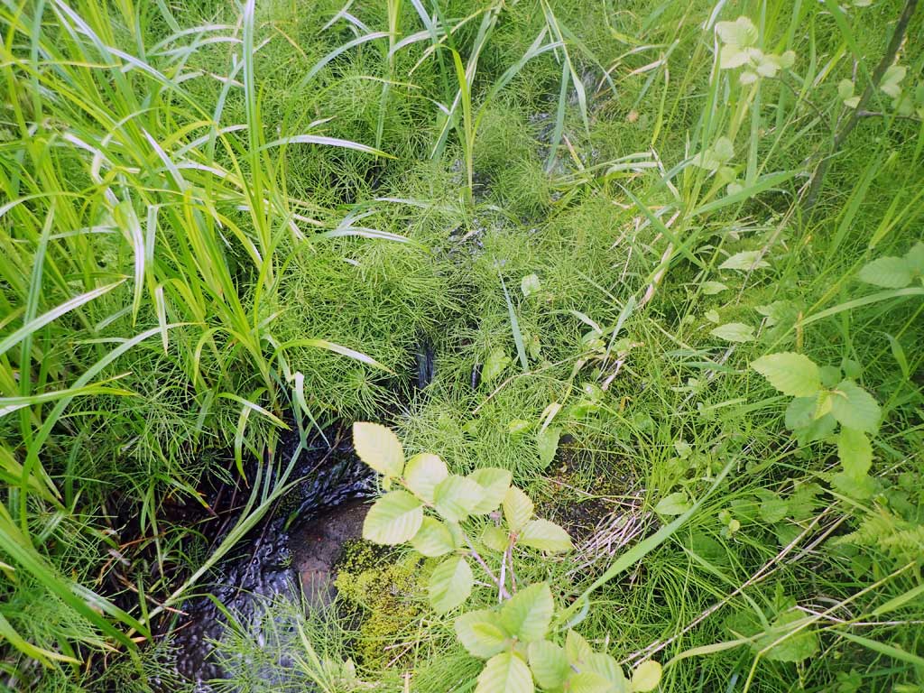
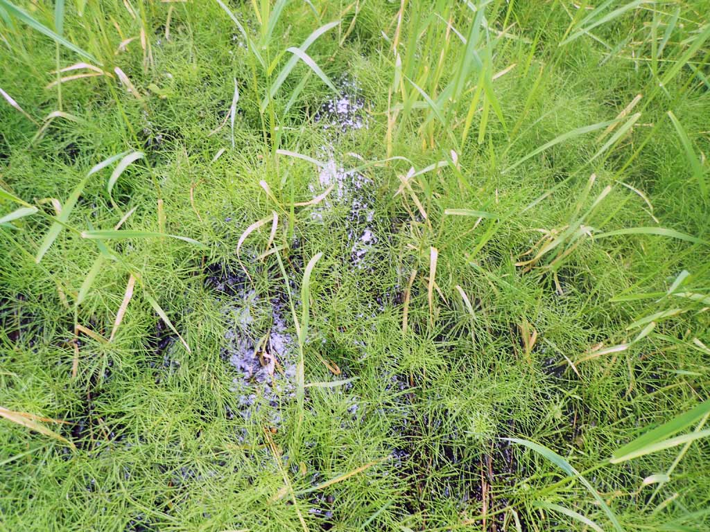
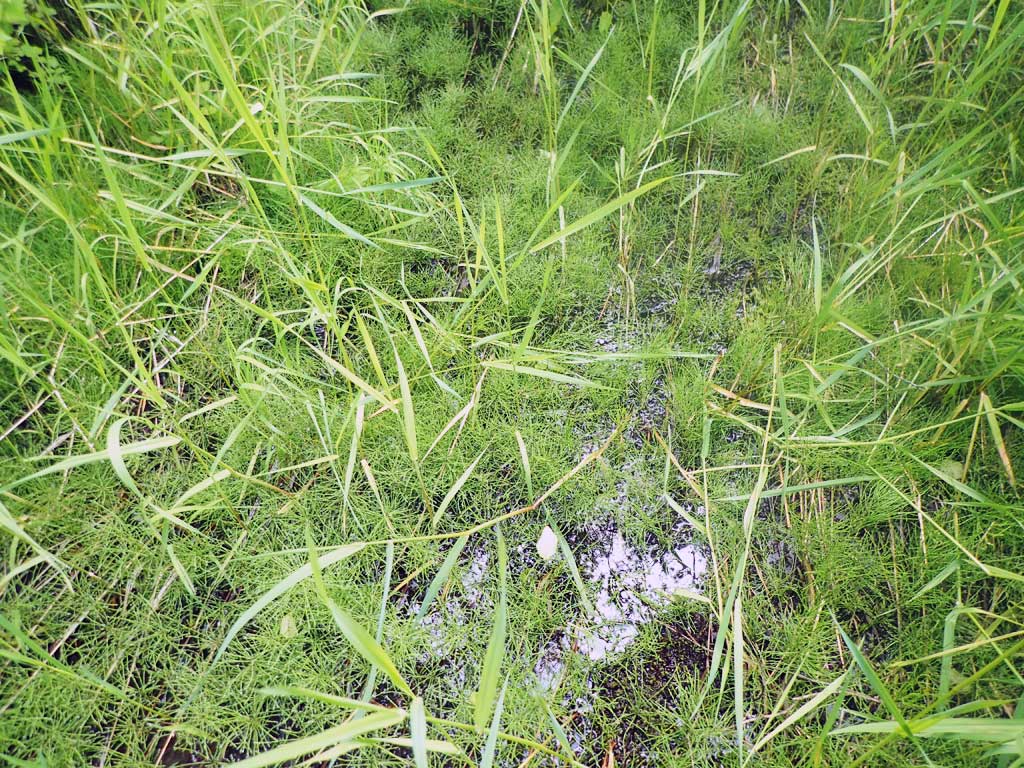
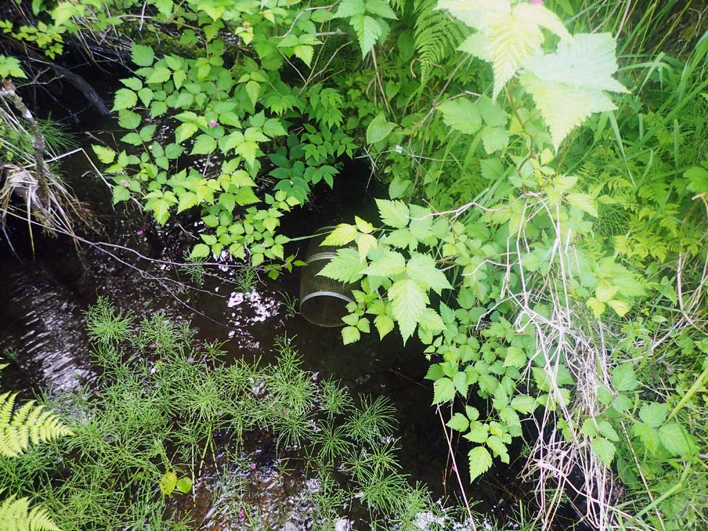
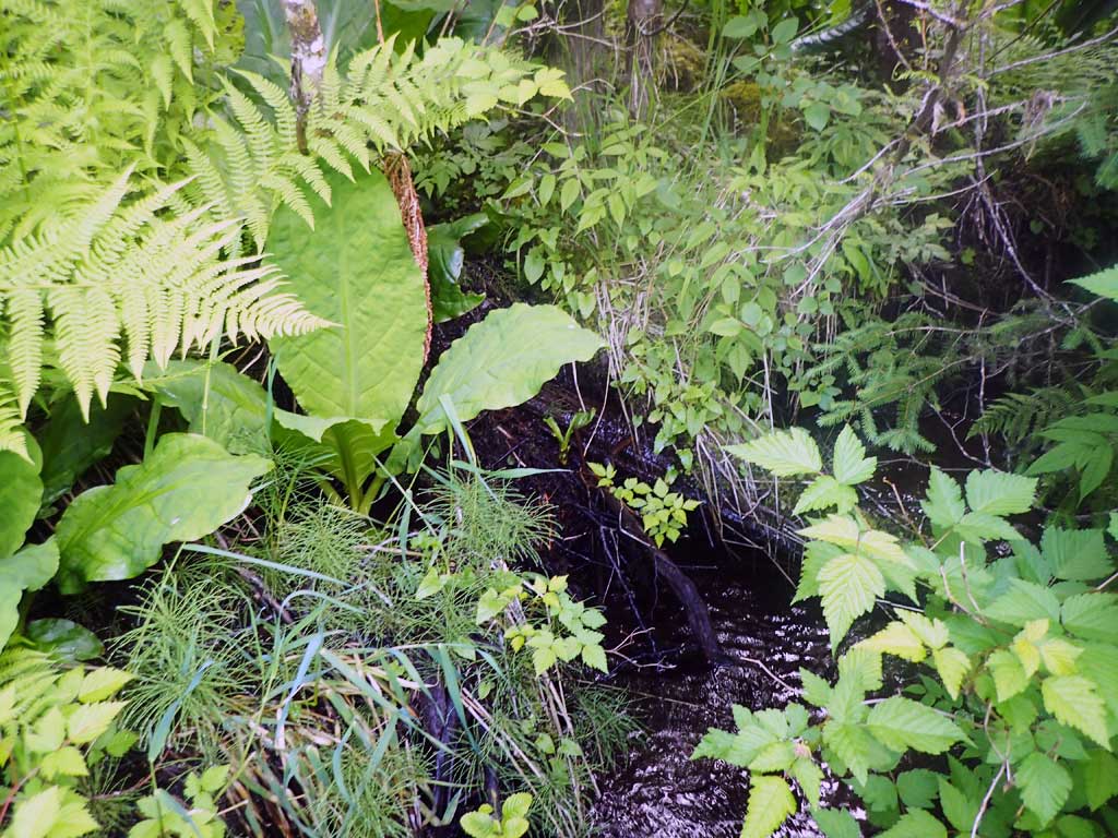
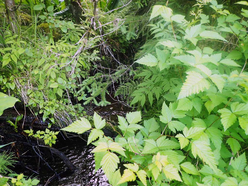
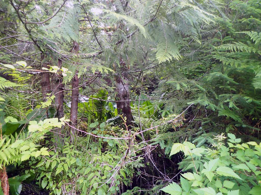
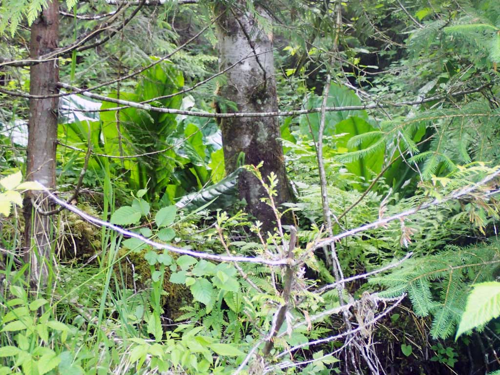
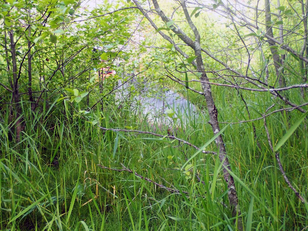
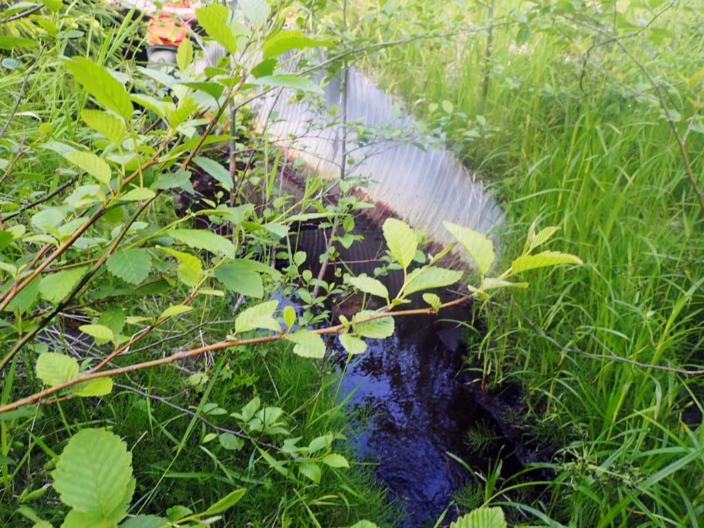
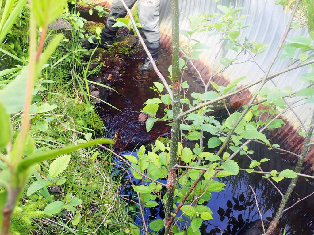
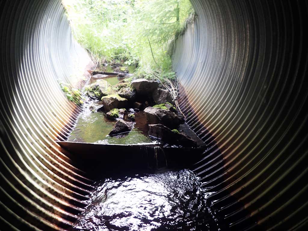
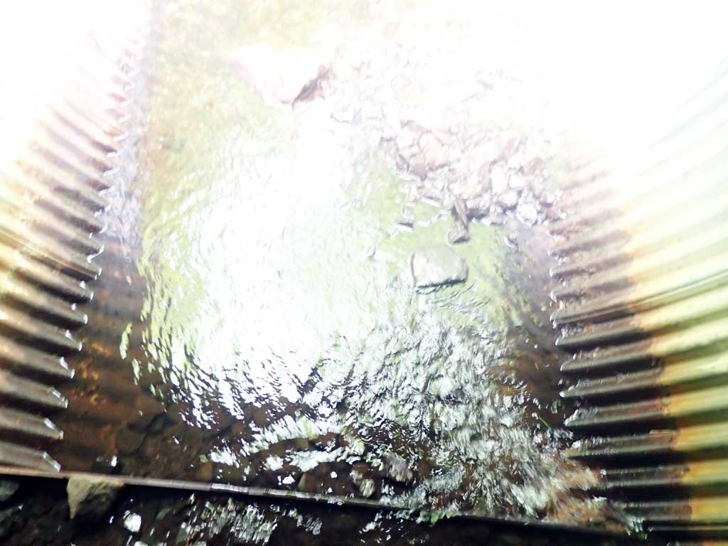
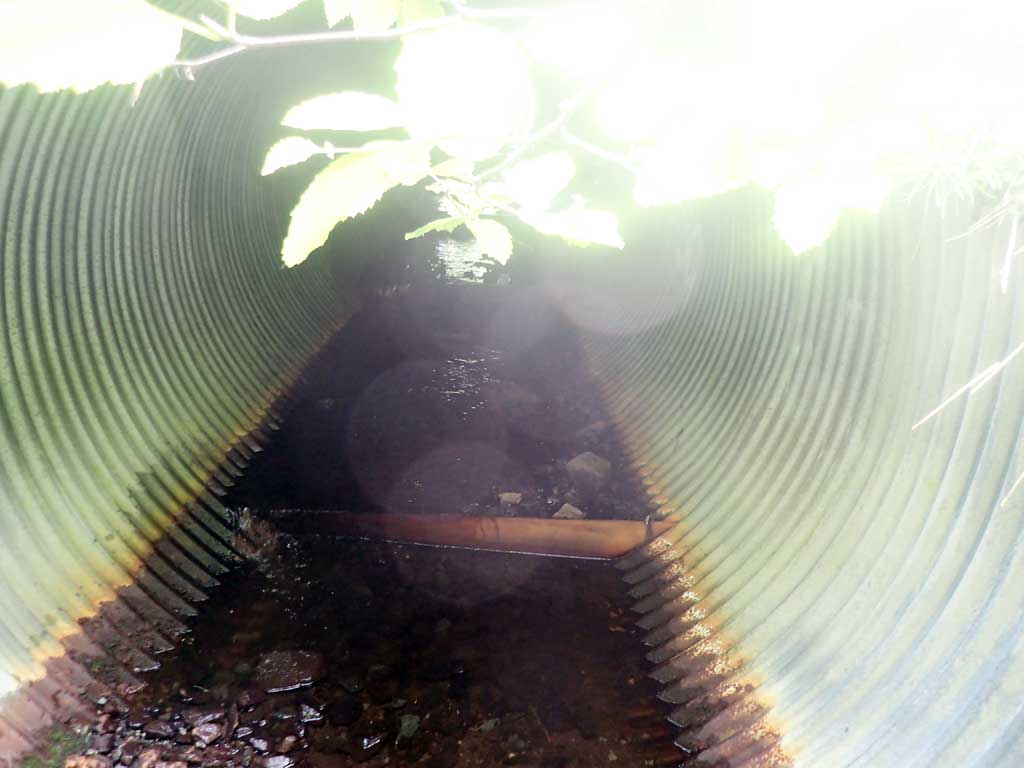
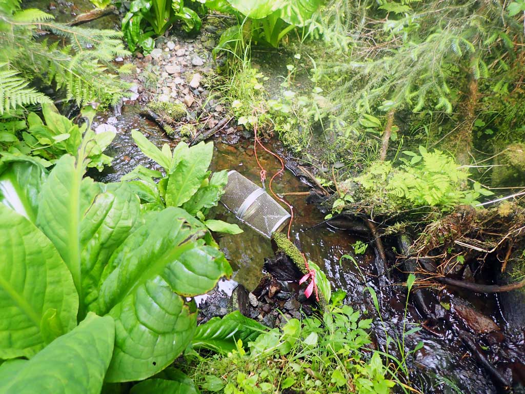
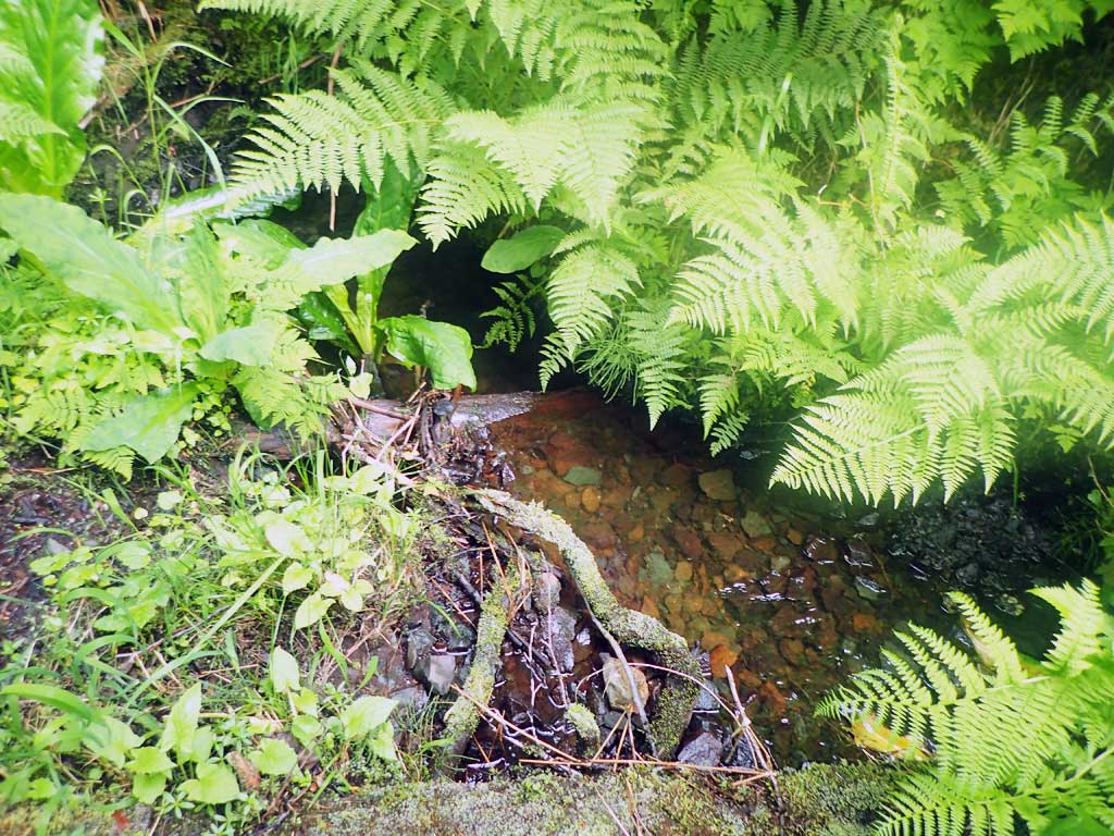
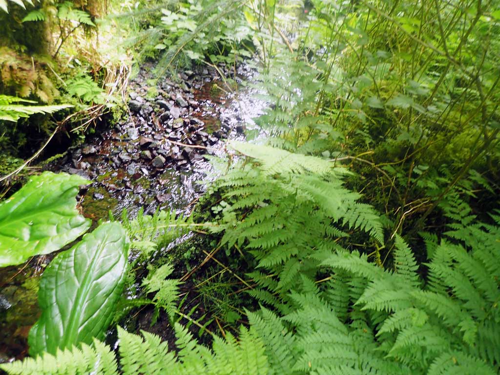
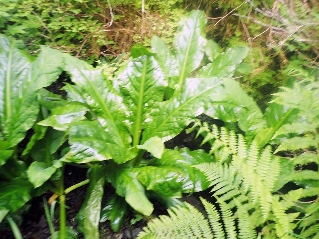
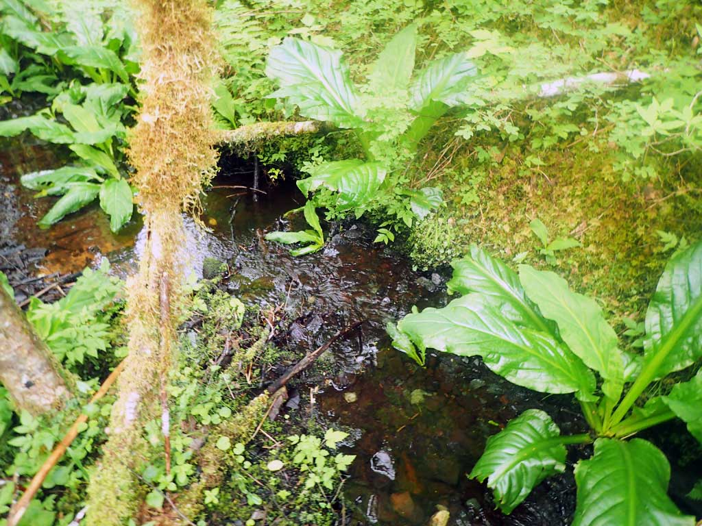
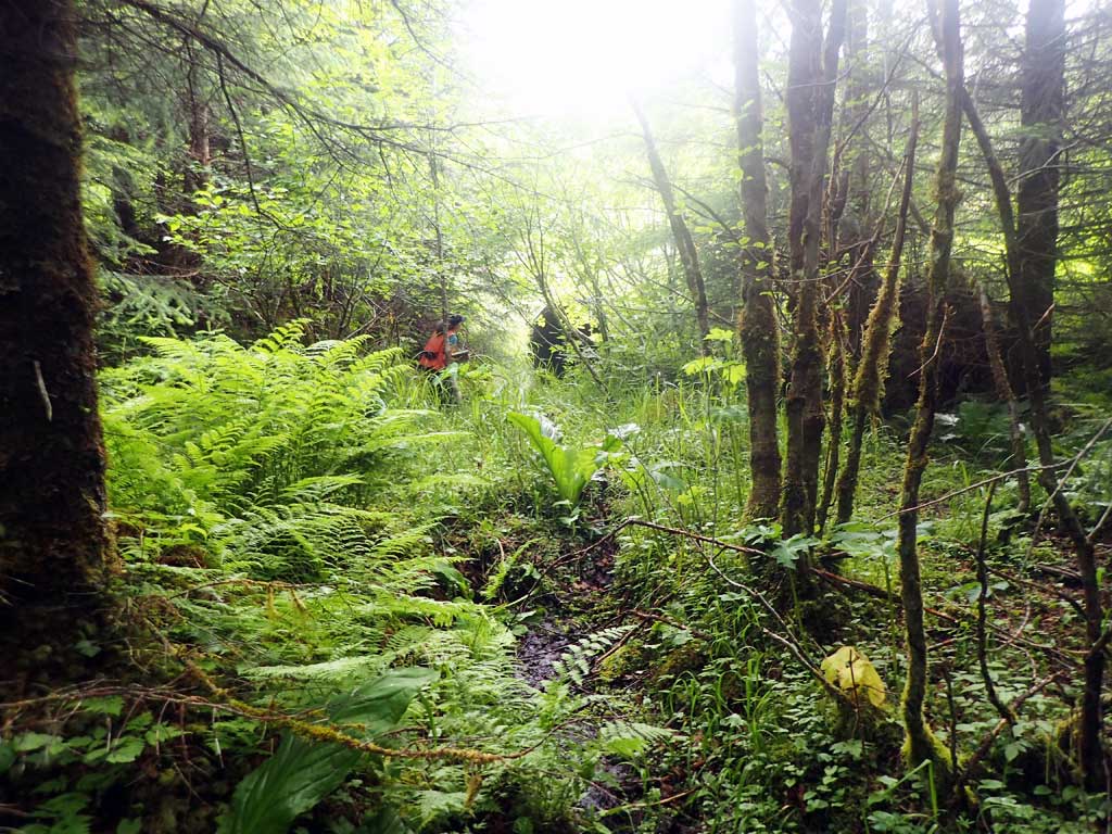
Comments: First 40ft upstream is small seep through horsetail then nice large woody pools. Big 4ft high log step 50ft from inlet. Downstream mostly shallow riffle with some 1ft high log steps. Only one deeper pool (1ft deep) in 150ft reach.
Culvert Measurements
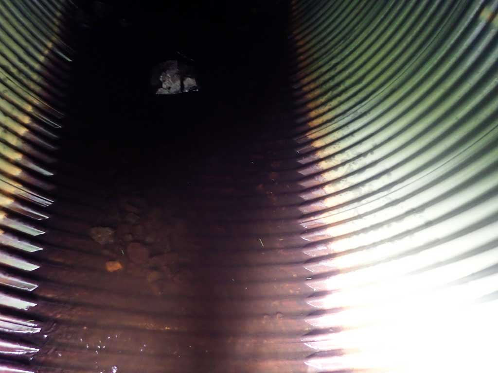
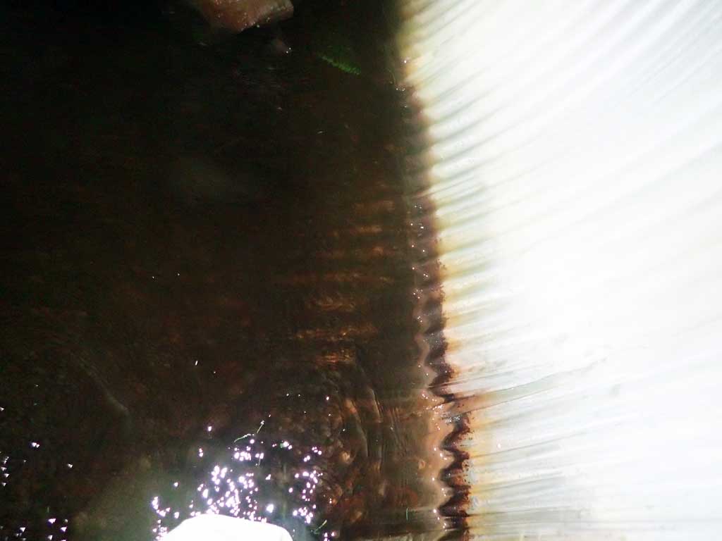
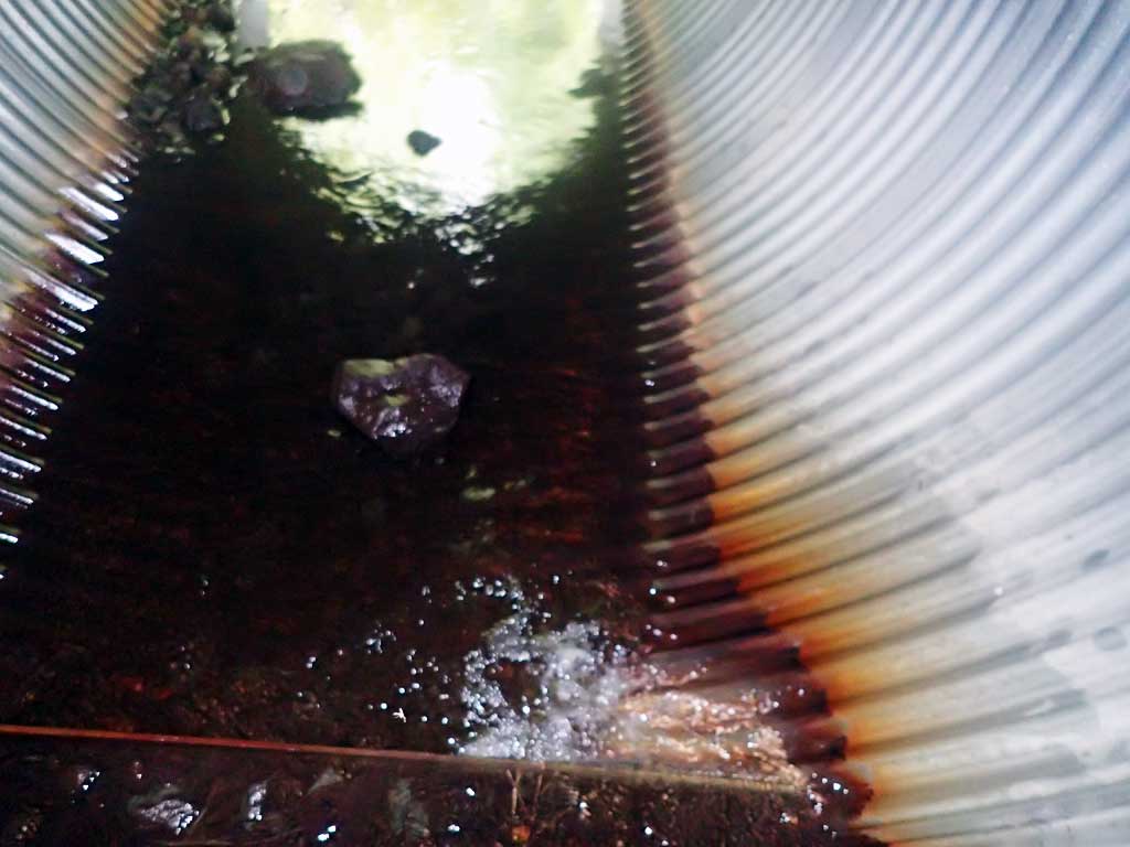
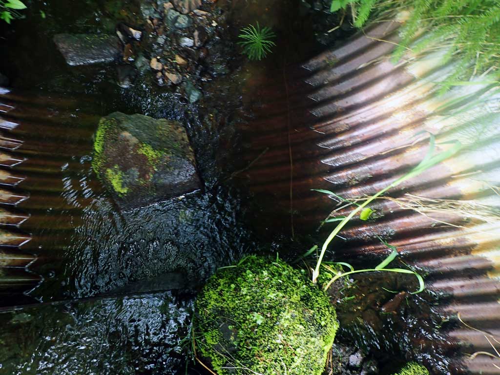
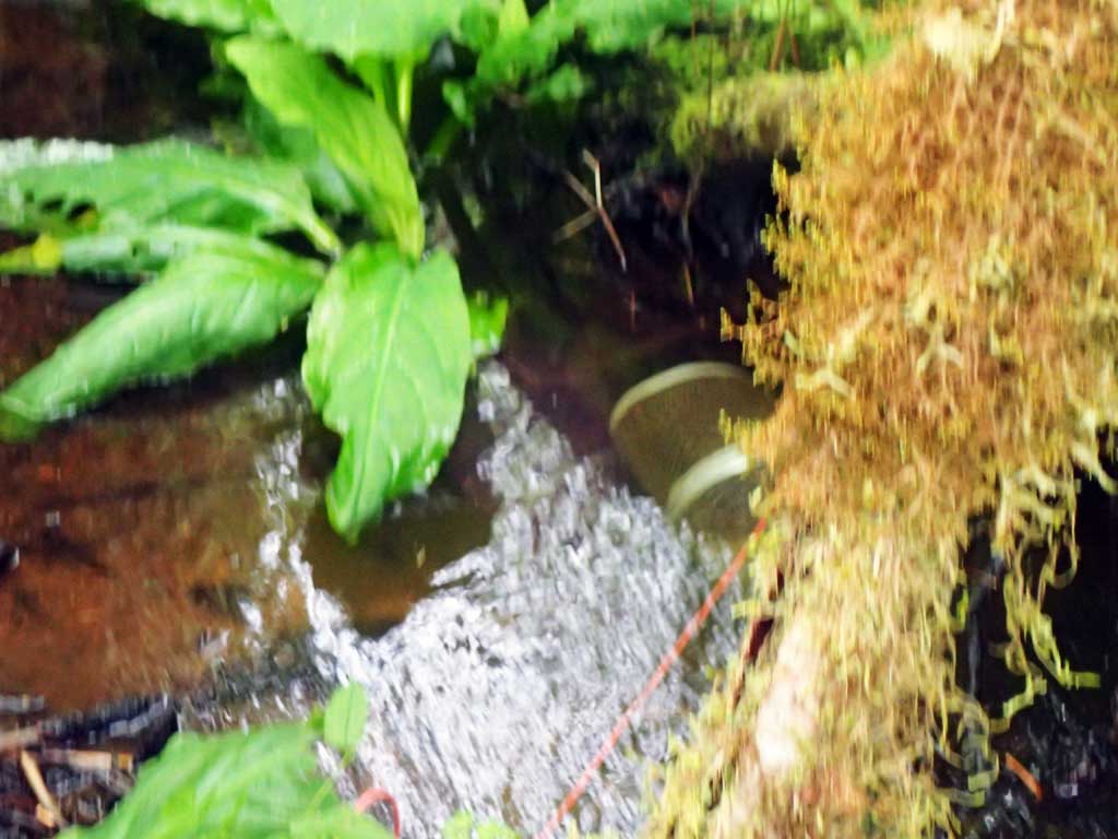
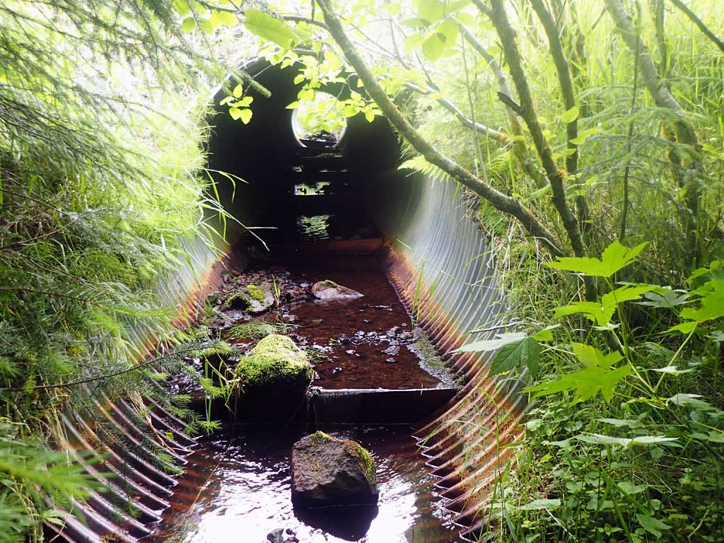
| ID: 1 | Structure Type: Circular pipe (Corrugated steel) | Fish Passage Rating: | |||||||||||||||||||||||||||||||||||||||||
|
|
|
|||||||||||||||||||||||||||||||||||||||||
Comments: Top of culvert length 59 ft. Did not get top of pipe inlet reading as too steep to be safe. Pipe gradient is from invert water surfaces. Pool below outlet is 1.31ft deep. Outlet depth given is on invert. |
|||||||||||||||||||||||||||||||||||||||||||
Stream Measurements
|
|
| Stream Width Type | Distance From Crossing (ft) |
Stream Width (ft) |
|---|---|---|
| Downstream ordinary high water | 55.0 | 2.25 |
| Downstream ordinary high water | 100.0 | 2.80 |
| Downstream ordinary high water | 110.0 | 3.25 |
| Upstream ordinary high water | 100.0 | 4.50 |
| Upstream ordinary high water | 120.0 | 4.00 |
| Upstream ordinary high water | 150.0 | 3.00 |
Elevations
| Locator ID | Culvert Number |
River Distance (ft)1 |
Distance From Crossing (ft)2 |
Relative Elevation (ft) |
|---|---|---|---|---|
| Road Elev | 115.52 | |||
| D/S Grade Ctrl (Thalweg) | 0.00 | 93.89 | ||
| D/S Water Surface Elev | 0.00 | 94.01 | ||
| D/S Grade Ctrl (Thalweg) | 95.00 | 98.11 | ||
| D/S Water Surface Elev | 95.00 | 98.15 | ||
| Max Pool Depth | 102.00 | 98.08 | ||
| Outlet Pool Water Elev | 102.00 | 99.39 | ||
| Outlet Invert (on substrate) | 103.00 | 99.03 | ||
| D/S Water Surface Elev | 103.00 | 99.37 | ||
| D/S Grade Ctrl (Thalweg) (1st baffle at outlet) | 106.00 | 100.00 | ||
| D/S Water Surface Elev | 106.00 | 100.02 | ||
| Outlet Culvert Top | 114.00 | 105.50 | ||
| Inlet Culvert Invert (on substrate) | 184.00 | 102.54 | ||
| U/S Water Surface Elev | 184.00 | 103.80 | ||
| U/S Grade Ctrl (Thalweg) | 190.00 | 104.51 | ||
| U/S Water Surface Elev | 190.00 | 104.64 | ||
| U/S Thalweg (Upstream pool max depth) | 218.00 | 105.39 | ||
| U/S Water Surface Elev | 218.00 | 106.01 |
Notes:
- River distance is measured continuously throughout the survey reach along the thalweg of the stream.
- Measured from each end of the crossing along the thalweg of the stream.
Fish Sampling Efforts
| Gear Type: Minnow Trap (A) | Trap Duration(h): 1.25 | |
| Comments: 30ft upstream, no fish | ||
| Gear Type: Minnow Trap (B) | Trap Duration(h): 1.25 | |
| Comments: 80ft downstream, 1 dolly | ||
Fish Observations
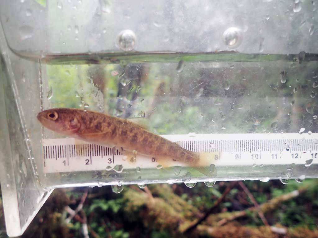
| Species: juvenile Dolly Varden | Life History: Unknown | ||
| Total Fish Observed: 1 | Fish Measured: 1 | Fork Lengths (mm) Min: 78 Max: 78 Mean: 78 | |
| Collected/Observed by Gear Type: Downstream Minnow Trap (1) | |||
Photos
Questions or comments about this report can be directed to dfg.dsf.webmaster@alaska.gov