Fish Passage Site 10103586
Coordinates (dec. deg.): 55.74946°, -132.97539°
Legal Description: C071S081E03
Region: Southeast
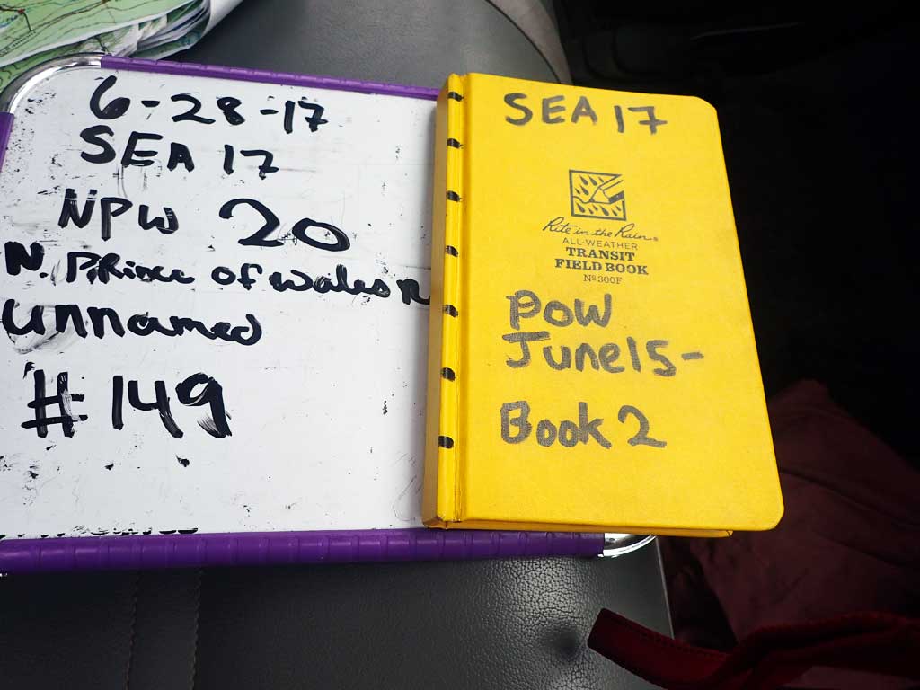
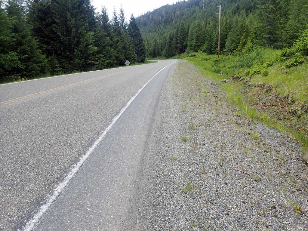
Road Name: North Prince of Wales Road
Datum: NAD83
Quad Name / ITM: Craig C-3
AWC Stream #:
Stream Name: Unnamed
Elevation:
Site Comments: Near MP23
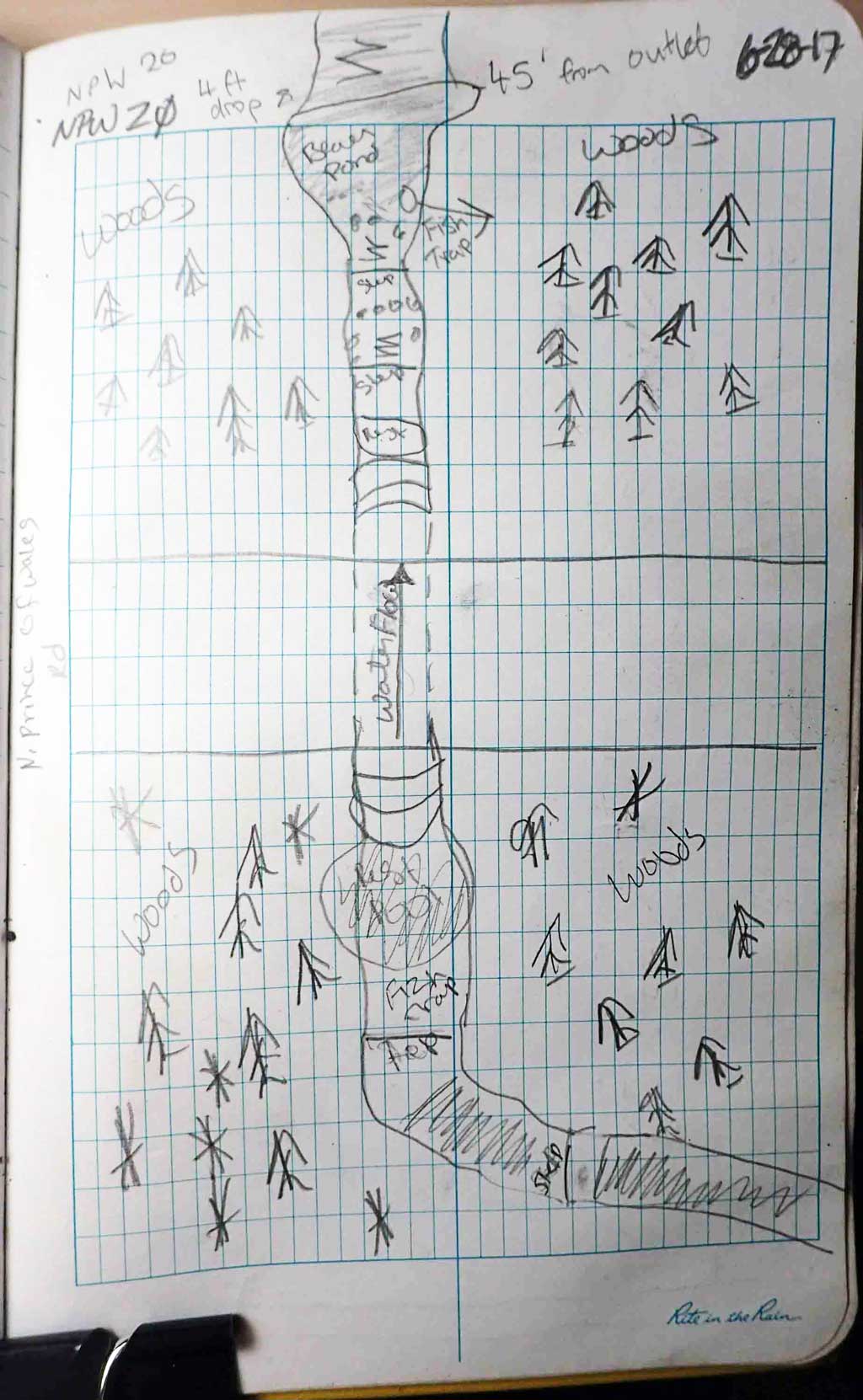
Survey SEA17-NPW20
Observers: Elizabeth Flory, Kelly Petty
Overall Fish Passage Rating:
Tidal: No
Backwatered: No
Step Pools: No
Construction Year:
Site Observations:
- Beaver Activity
- Culvert gradient red
- Outfall height gray
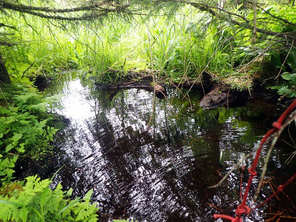
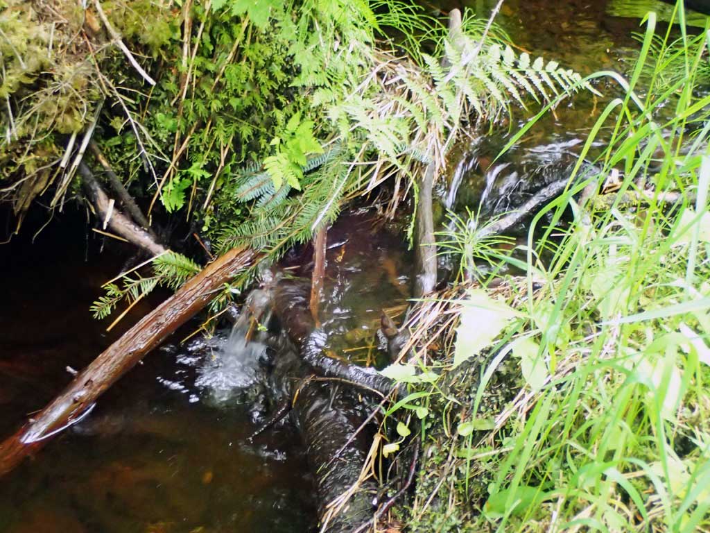
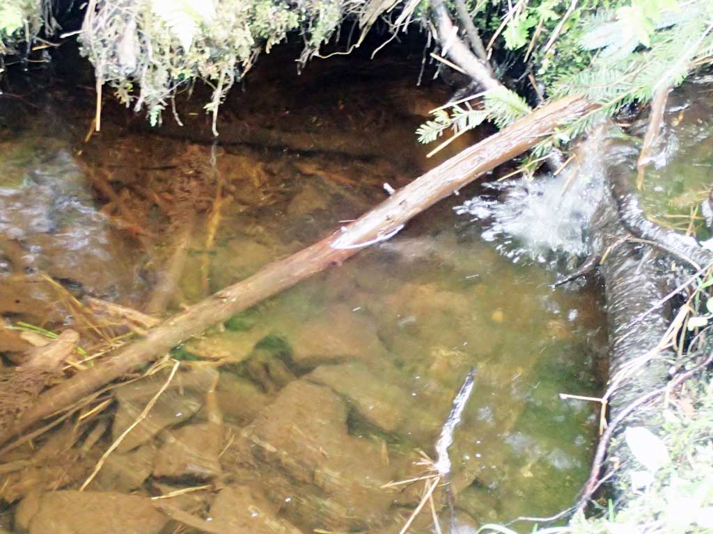
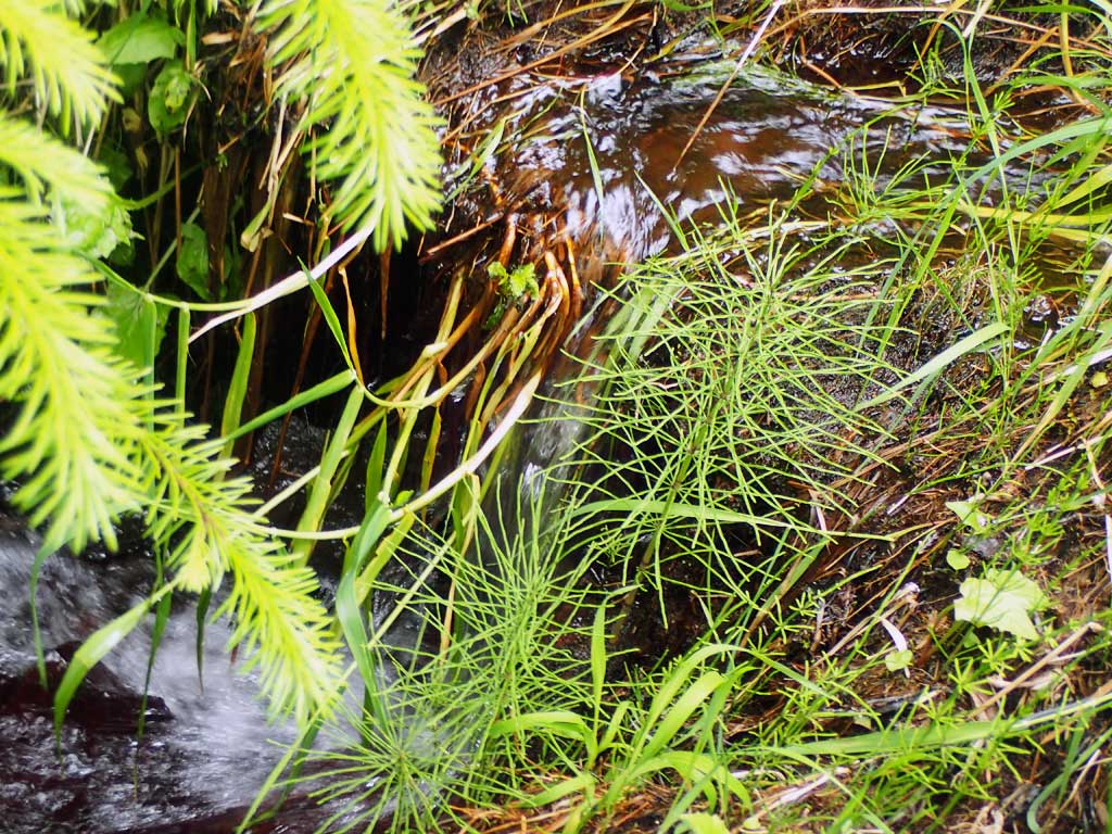
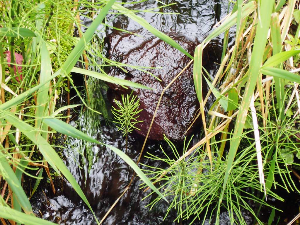
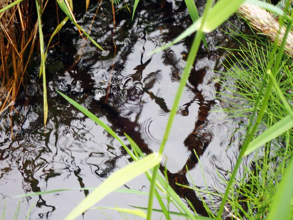
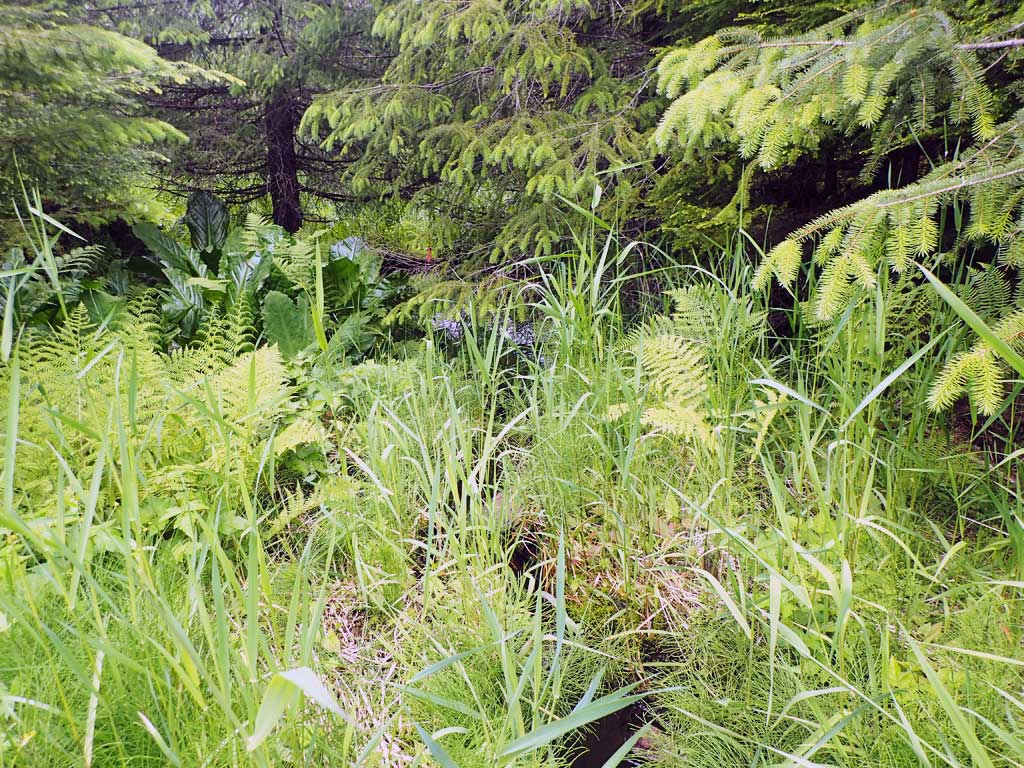
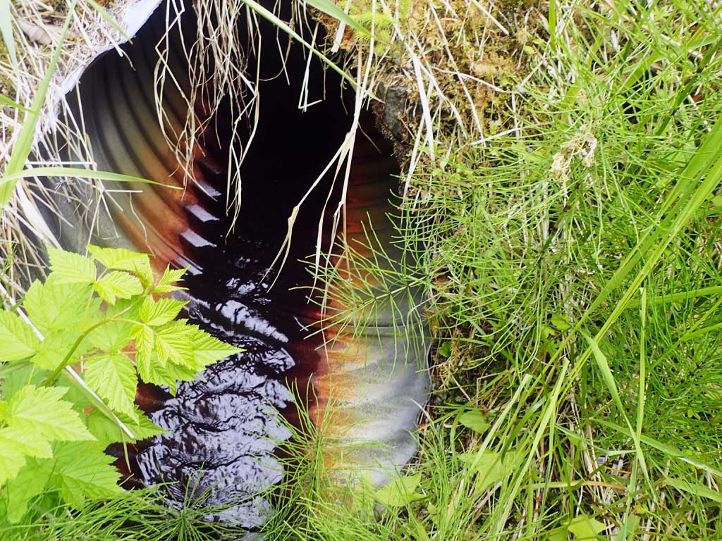
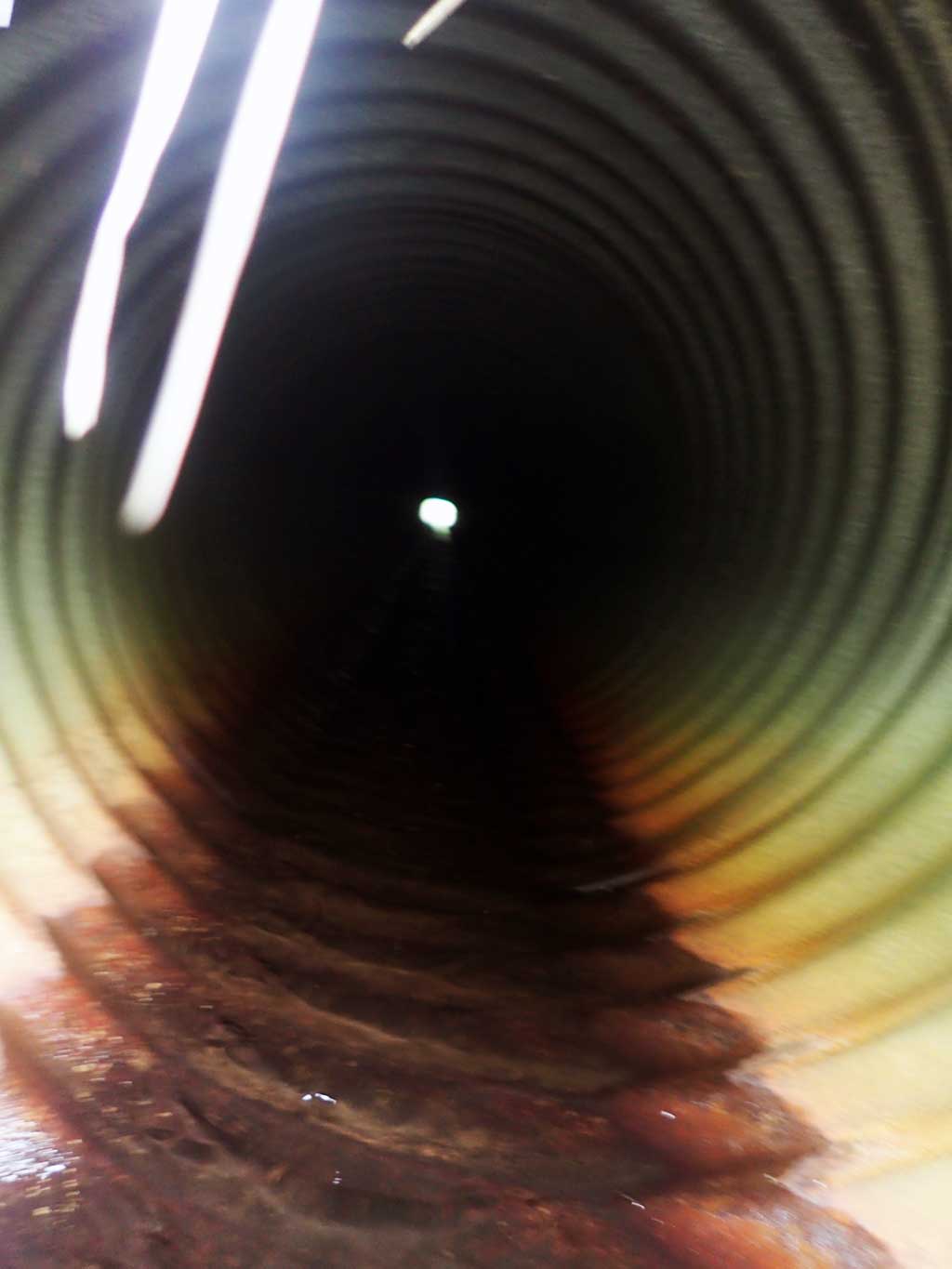
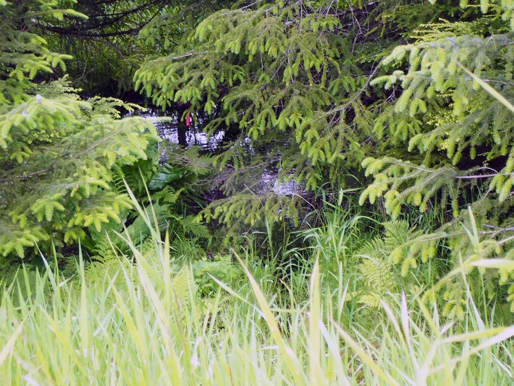
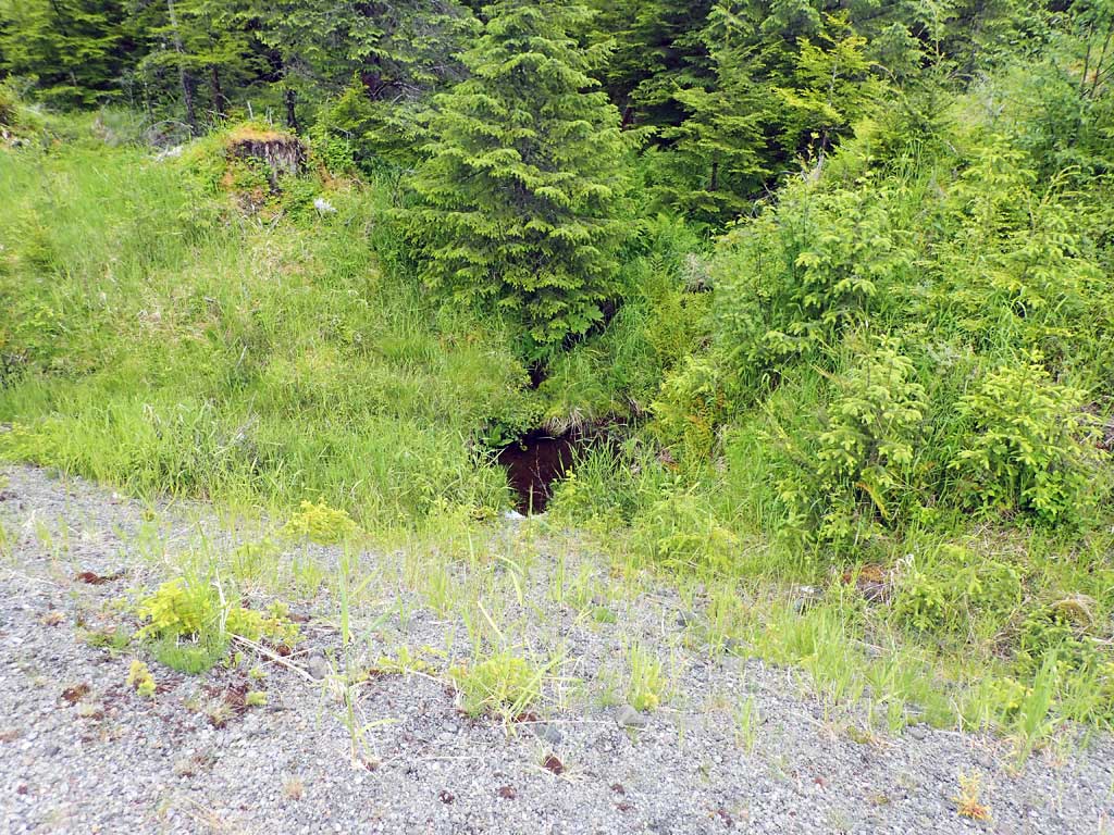
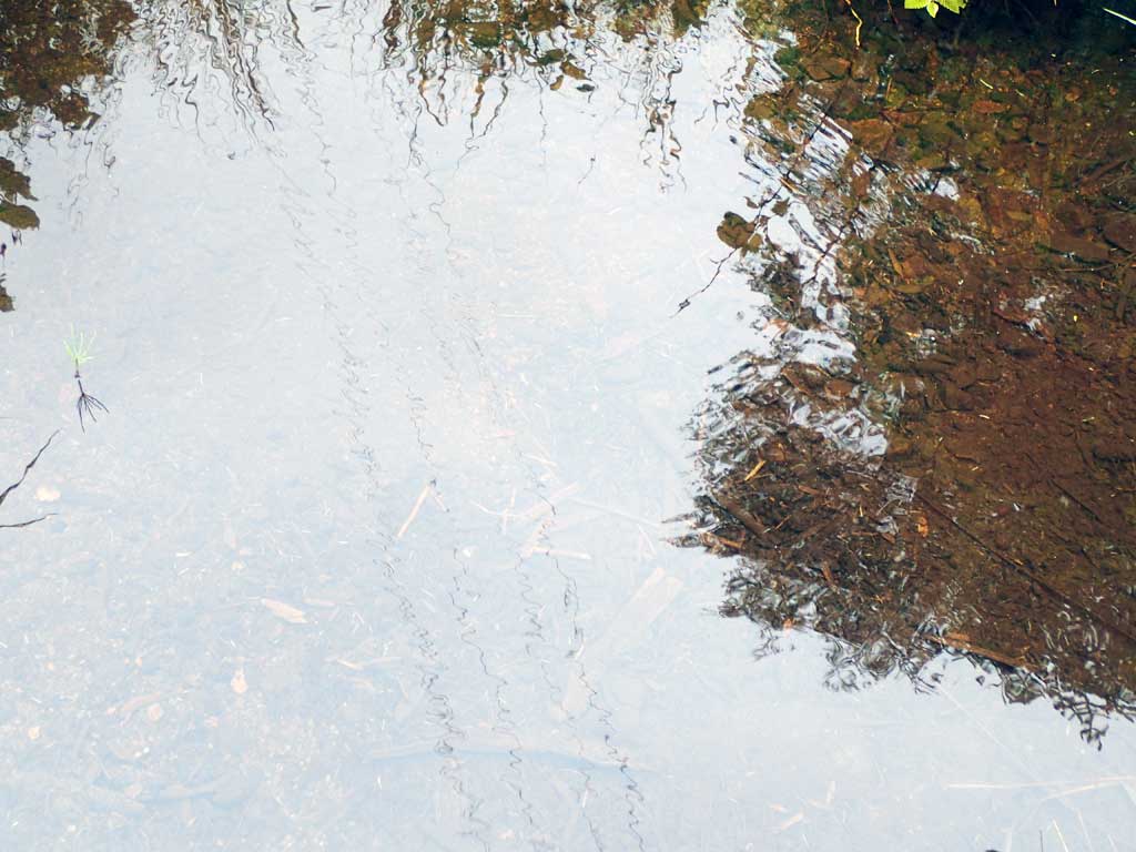
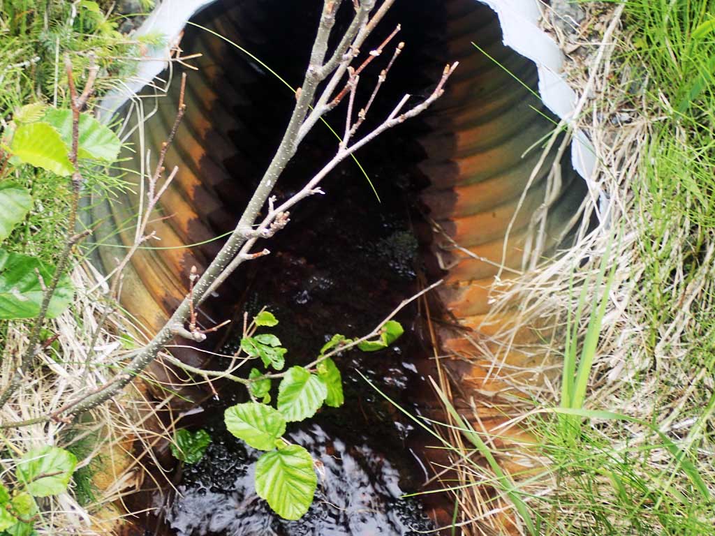
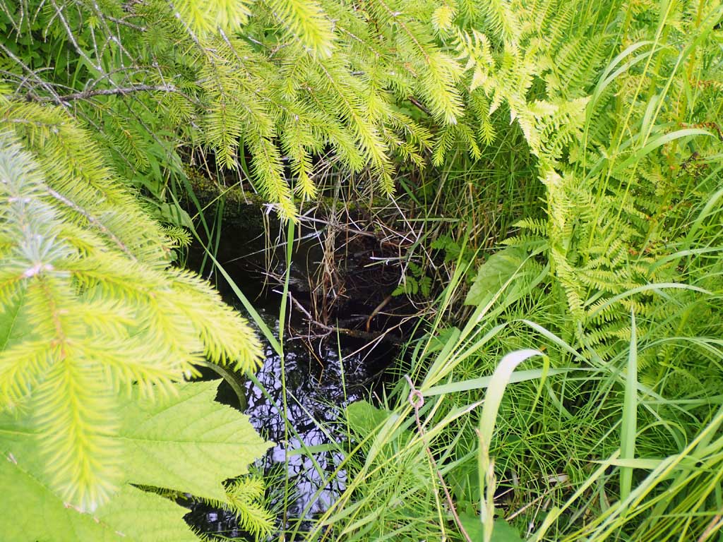
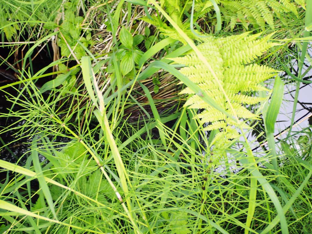
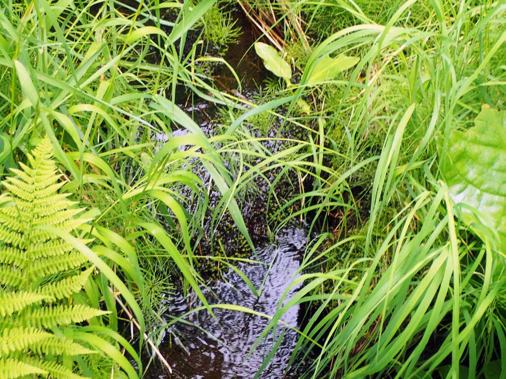
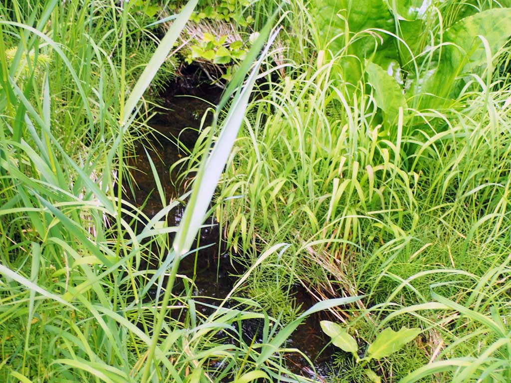
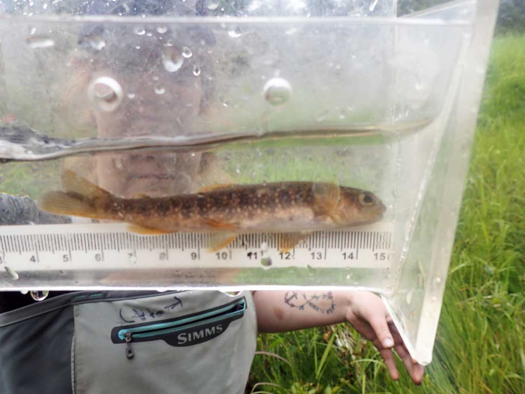
Comments: Upstream braided under old logging slash and ferns, hard to fllow channel. Small, a few pools. 0.5ft deep pool at inlet. Upstream has some grade climb with large woody debris steps. Beaver pond downstream. Dam 45ft downstream. Recent beaver sign. Further downstream is grassy meadow, low gradient. No gradient measured due to braids and brush. 3 dollys captured upstream.
Culvert Measurements
| ID: 1 | Structure Type: Circular pipe (Corrugated steel) | Fish Passage Rating: | |||||||||||||||||||||||||||||||||||||||||
|
|
|
|||||||||||||||||||||||||||||||||||||||||
Comments: Pipe quite rusty. Top of culvert length 81.3' |
|||||||||||||||||||||||||||||||||||||||||||
Culvert Observations:
|
|||||||||||||||||||||||||||||||||||||||||||
Stream Measurements
|
|
| Stream Width Type | Distance From Crossing (ft) |
Stream Width (ft) |
|---|---|---|
| Upstream ordinary high water | 20.0 | 1.80 |
| Upstream ordinary high water | 60.0 | 2.00 |
| Upstream ordinary high water | 100.0 | 2.00 |
Elevations
| Locator ID | Culvert Number |
River Distance (ft)1 |
Distance From Crossing (ft)2 |
Relative Elevation (ft) |
|---|---|---|---|---|
| Road Elev | 110.01 | |||
| D/S Grade Ctrl (Thalweg) | 0.00 | 89.55 | ||
| D/S Water Surface Elev | 0.00 | 89.75 | ||
| D/S Grade Ctrl (Thalweg) | 12.00 | 92.05 | ||
| D/S Water Surface Elev | 12.00 | 92.20 | ||
| D/S Grade Ctrl (Thalweg) | 39.00 | 92.61 | ||
| D/S Water Surface Elev | 39.00 | 92.99 | ||
| D/S Grade Ctrl (Thalweg) | 42.00 | 94.78 | ||
| D/S Water Surface Elev | 42.00 | 94.91 | ||
| Max Pool Depth | 53.00 | 95.36 | ||
| Outlet Pool Water Elev | 53.00 | 95.80 | ||
| Outlet Invert | 55.00 | 96.01 | ||
| D/S Water Surface Elev | 55.00 | 96.10 | ||
| Outlet Culvert Top | 57.00 | 98.05 | ||
| Inlet Culvert Top | 138.30 | 100.00 | ||
| U/S Water Surface Elev | 140.30 | 98.10 | ||
| Inlet Culvert Invert | 140.30 | 98.00 | ||
| U/S Grade Ctrl (Thalweg) (upstream pool max depth) | 147.30 | 97.29 | ||
| U/S Water Surface Elev | 147.30 | 97.95 | ||
| U/S Grade Ctrl (Thalweg) | 150.30 | 98.68 | ||
| U/S Water Surface Elev | 150.30 | 99.05 | ||
| U/S Grade Ctrl (Thalweg) | 162.30 | 99.43 | ||
| U/S Water Surface Elev | 162.30 | 100.08 | ||
| U/S Grade Ctrl (Thalweg) | 175.30 | 101.70 | ||
| U/S Water Surface Elev | 175.30 | 101.72 |
Notes:
- River distance is measured continuously throughout the survey reach along the thalweg of the stream.
- Measured from each end of the crossing along the thalweg of the stream.
Fish Sampling Efforts
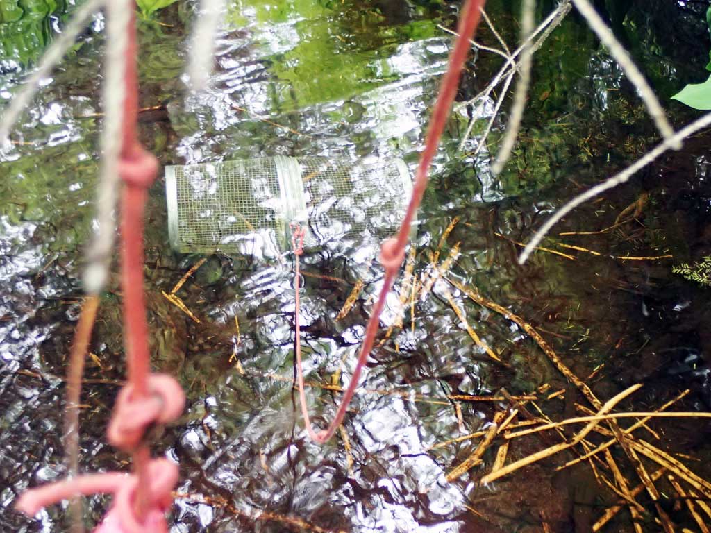
| Gear Type: Minnow Trap (A) | Trap Duration(h): 1.75 | |
| Comments: 20ft upstream, 3 dollys | ||
| Gear Type: Minnow Trap (B) | Trap Duration(h): 1.75 | |
| Comments: 20ft downstream, no fish | ||
Fish Observations
| Species: juvenile Dolly Varden | Life History: | ||
| Total Fish Observed: 3 | Fish Measured: 3 | Fork Lengths (mm) Min: 50 Max: 80 Mean: 63 | |
| Collected/Observed by Gear Type: Upstream Minnow Trap (3) | |||
Photos


Questions or comments about this report can be directed to dfg.dsf.webmaster@alaska.gov