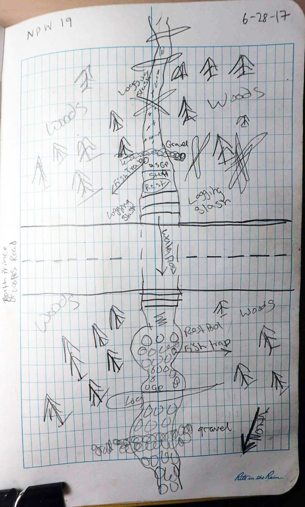
Fish Passage Site 10103585
Coordinates (dec. deg.): 55.75483°, -132.97951°
Legal Description: C070S081E34
Region: Southeast
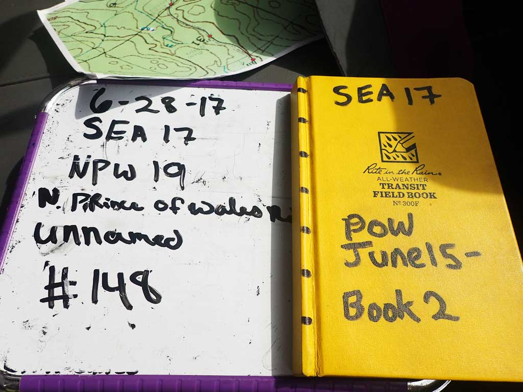
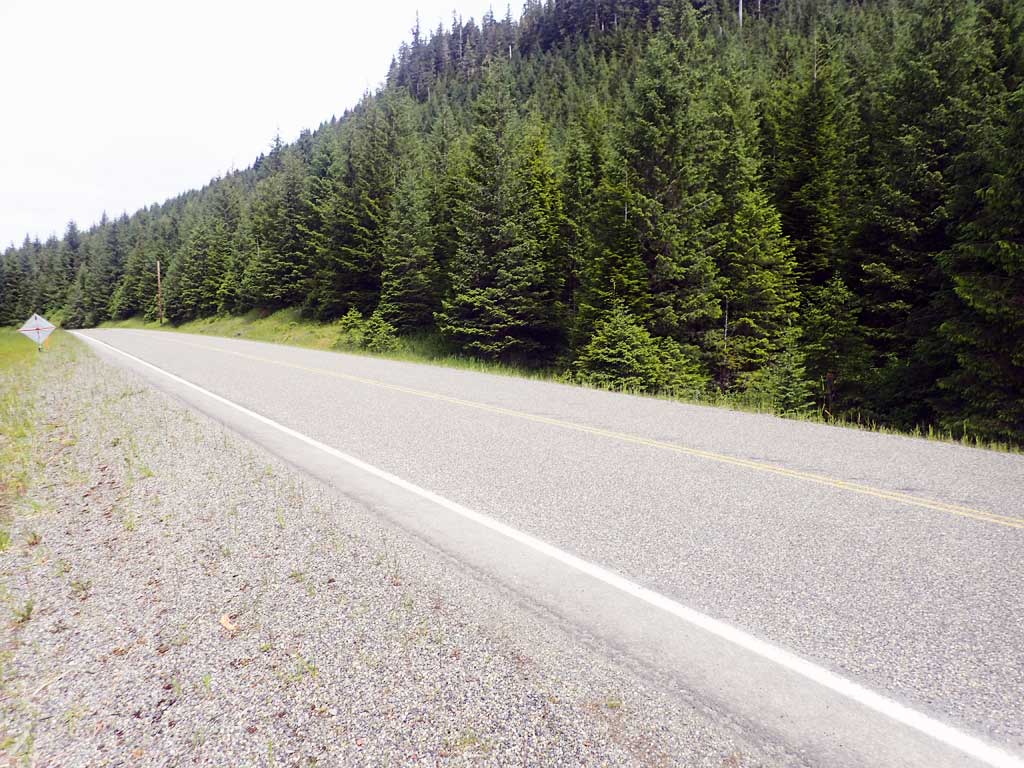
Road Name: North Prince of Wales Road
Datum: NAD83
Quad Name / ITM: Craig D-3
AWC Stream #:
Stream Name: Unnamed
Elevation:
Site Comments: None
Survey SEA17-NPW19
Observers: Elizabeth Flory, Kelly Petty
Overall Fish Passage Rating:
Tidal: No
Backwatered: No
Step Pools: No
Construction Year:
Site Observations:
- Outfall height red
- Culvert gradient red
- Constriction ratio gray
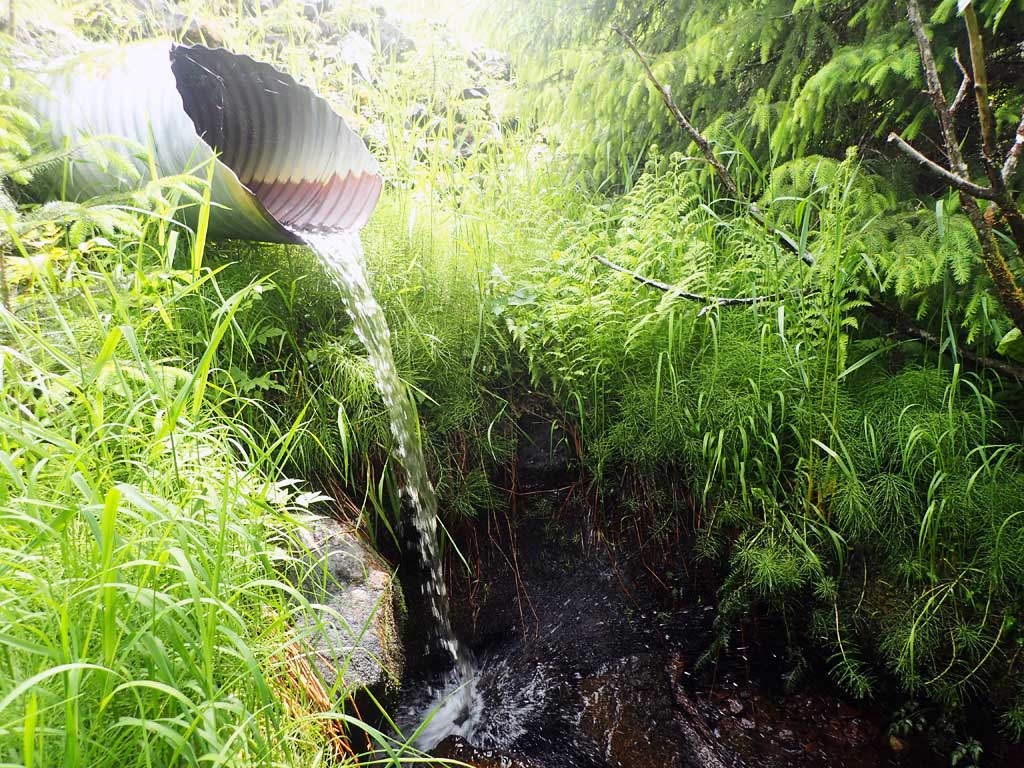
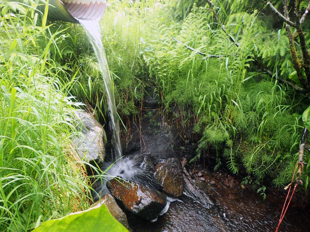
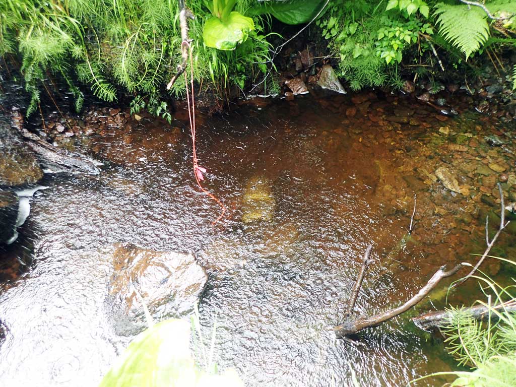
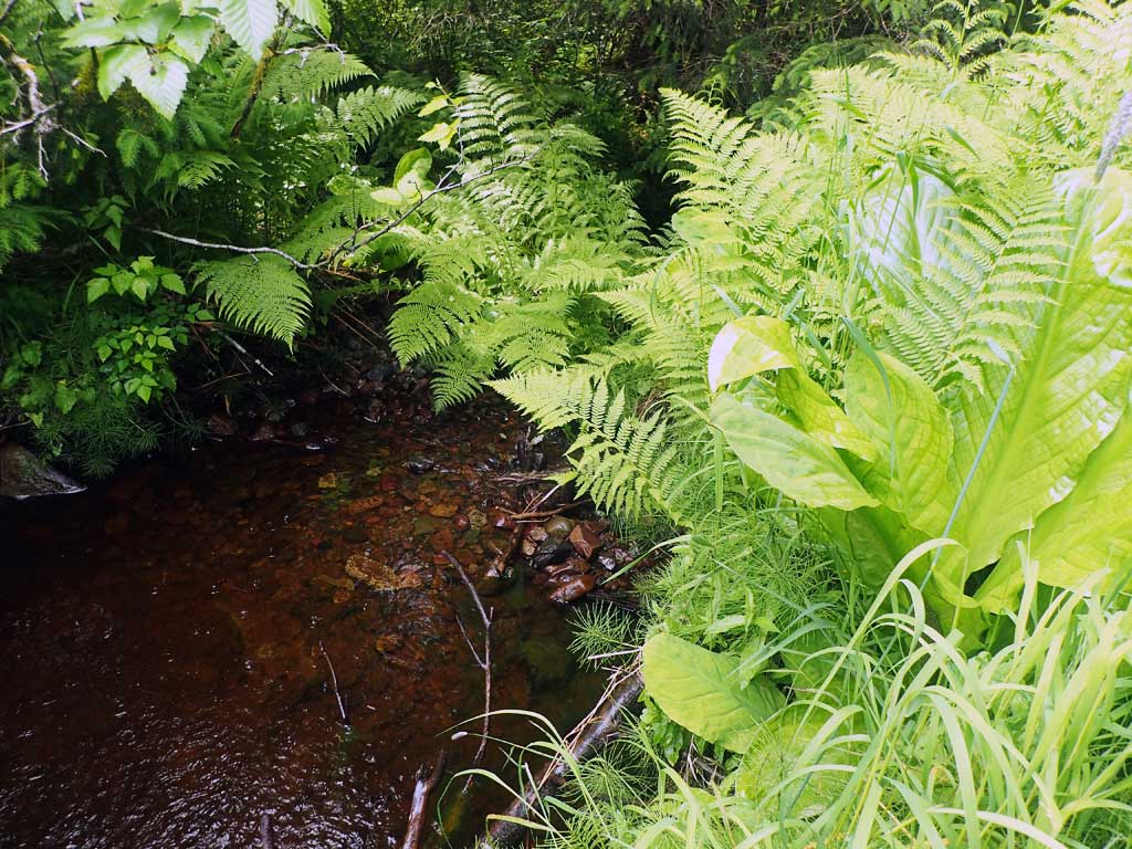
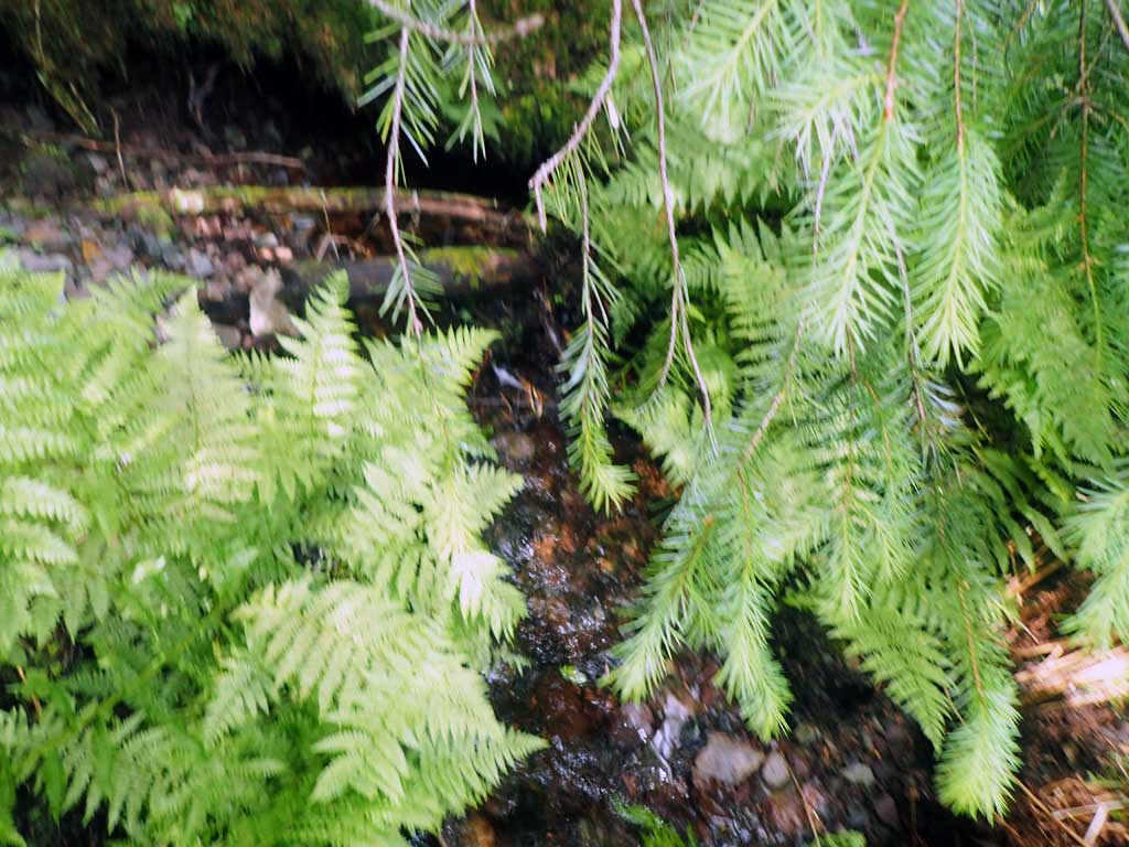
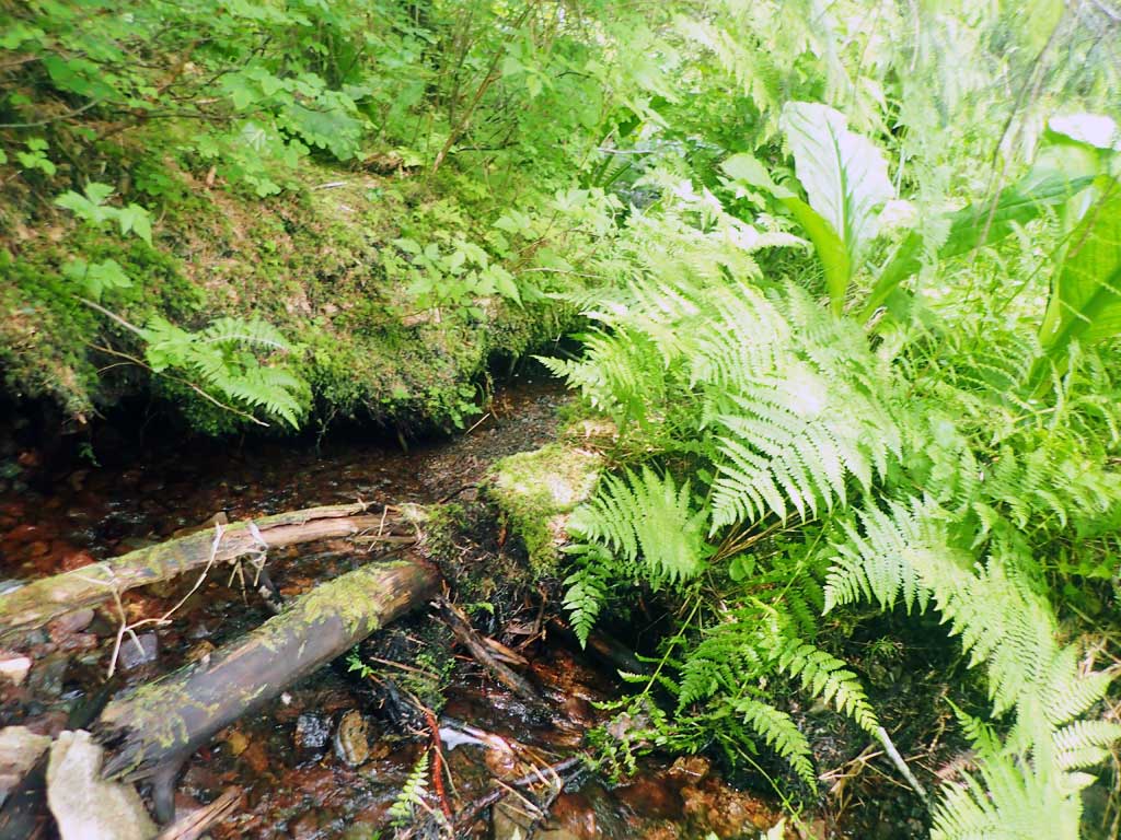
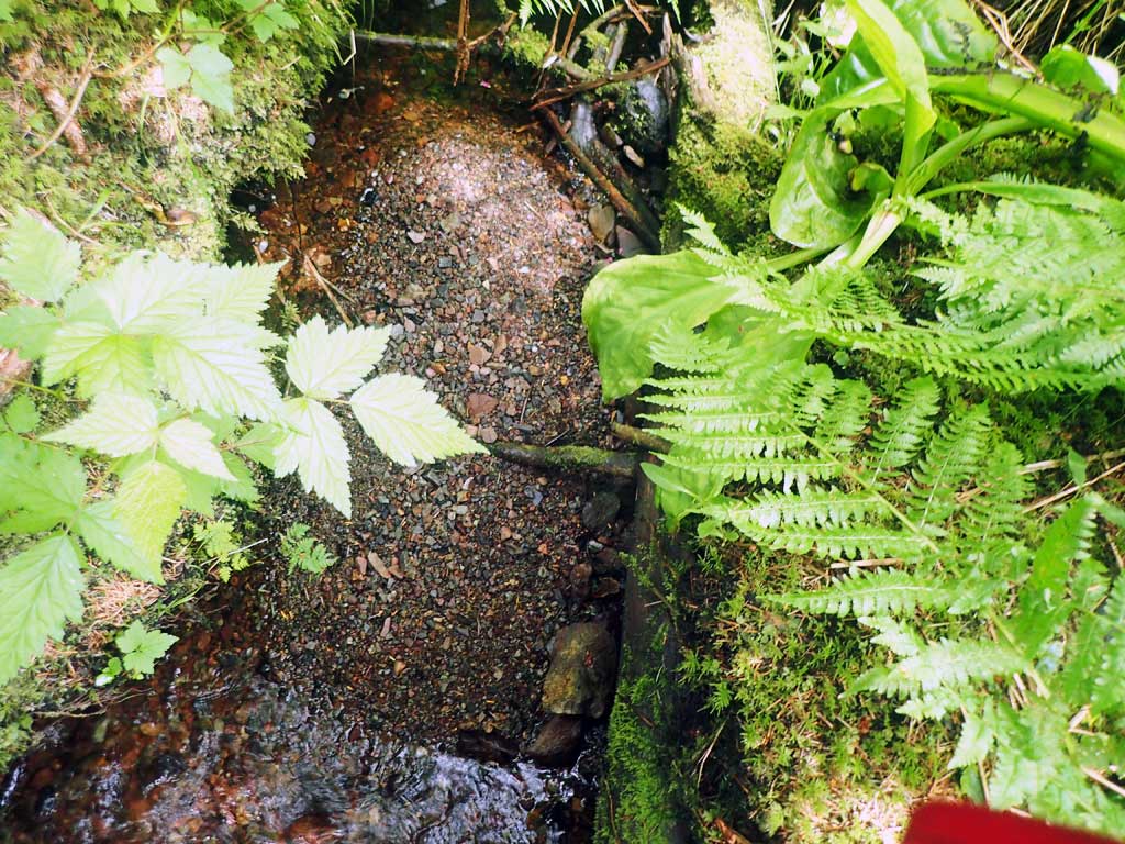
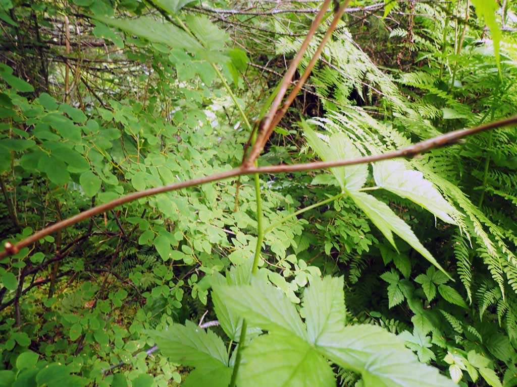
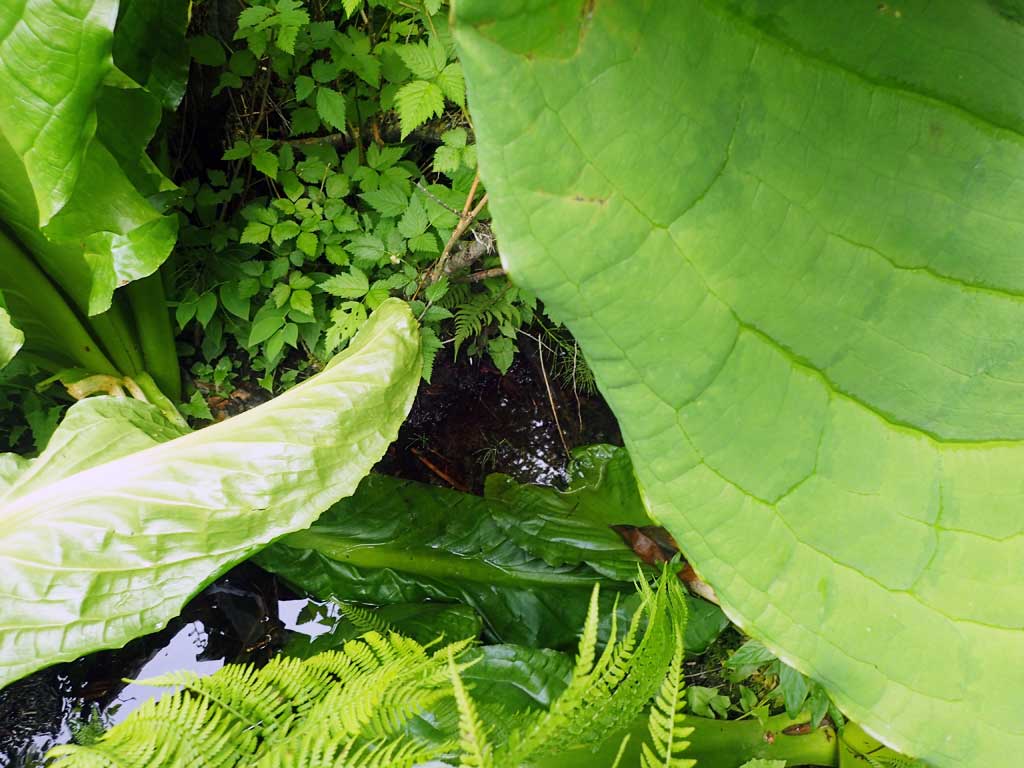
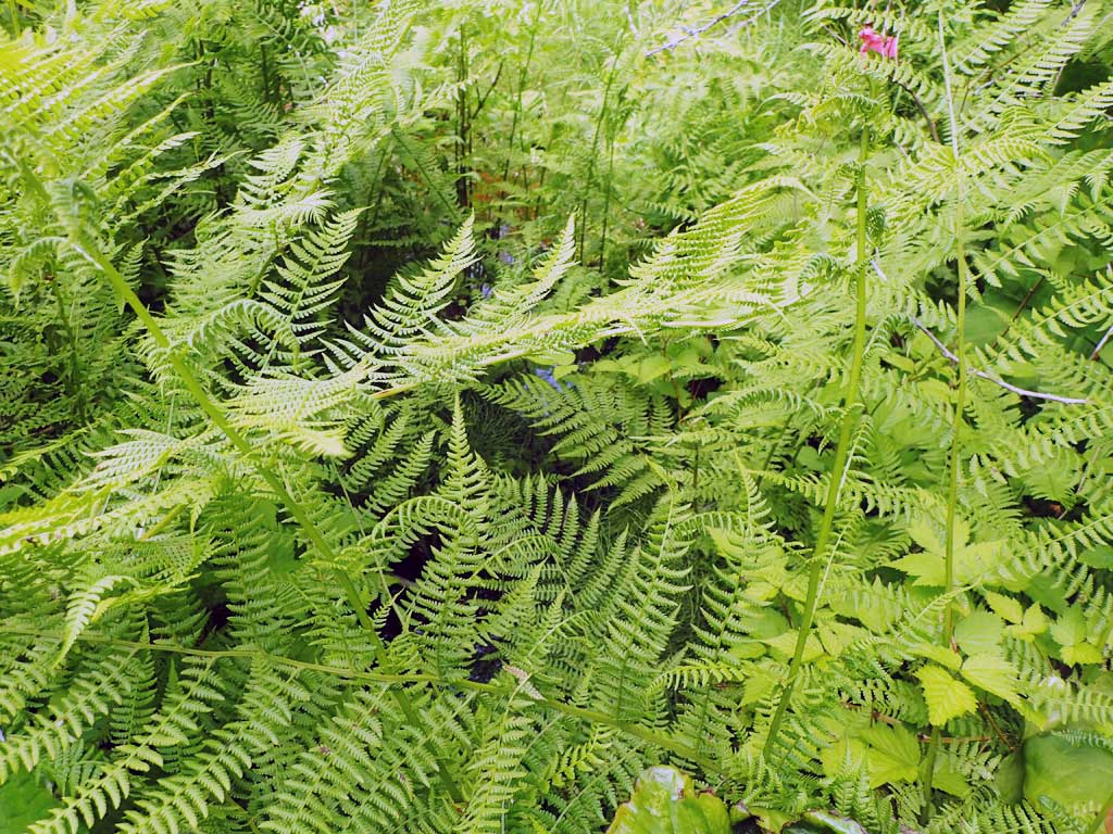
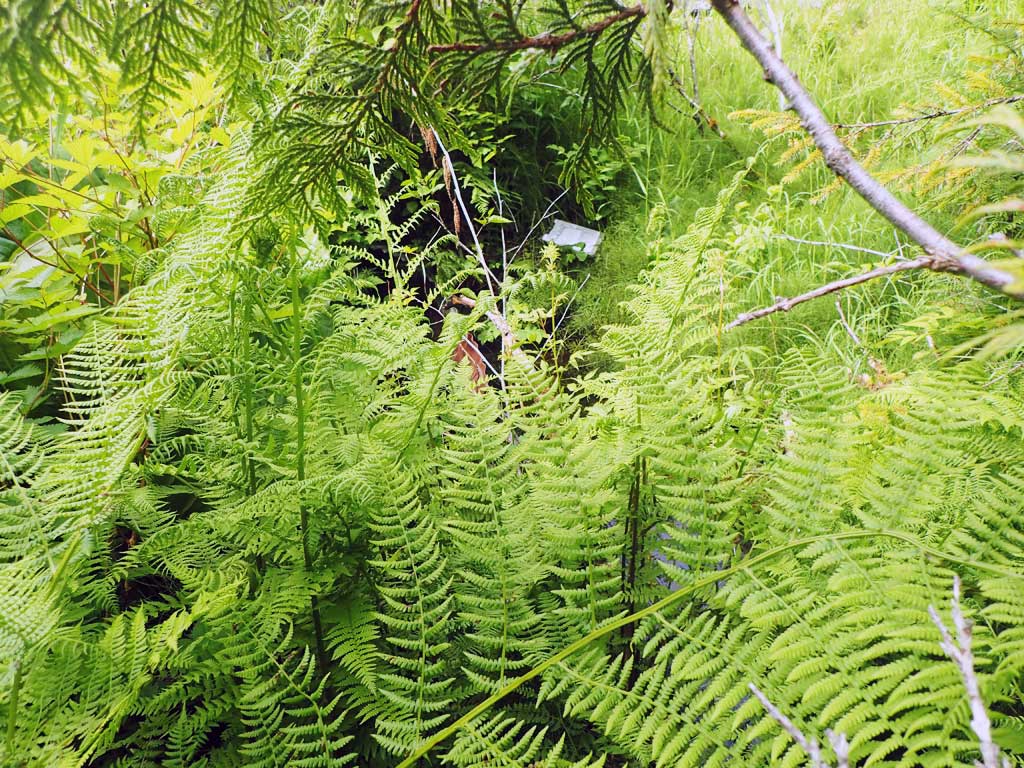
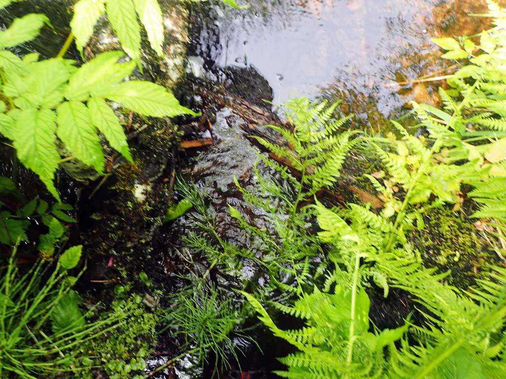
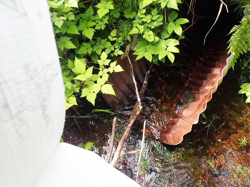
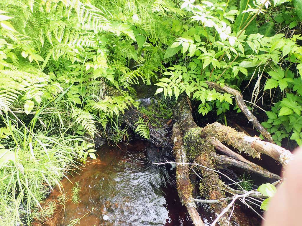
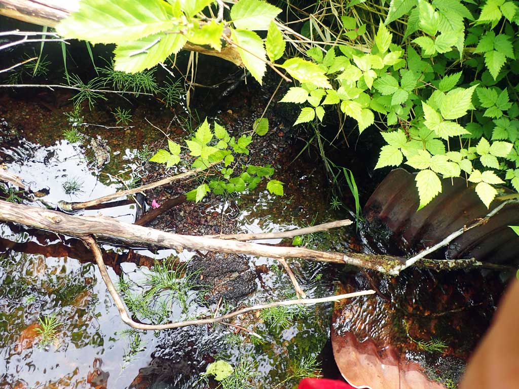
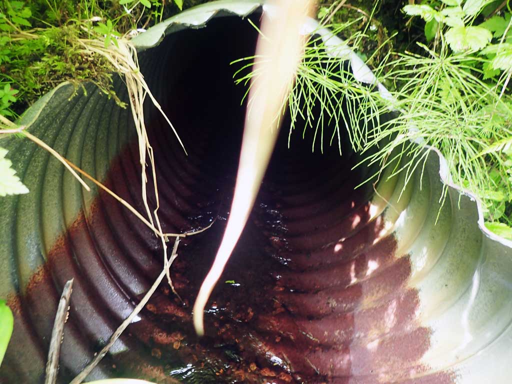
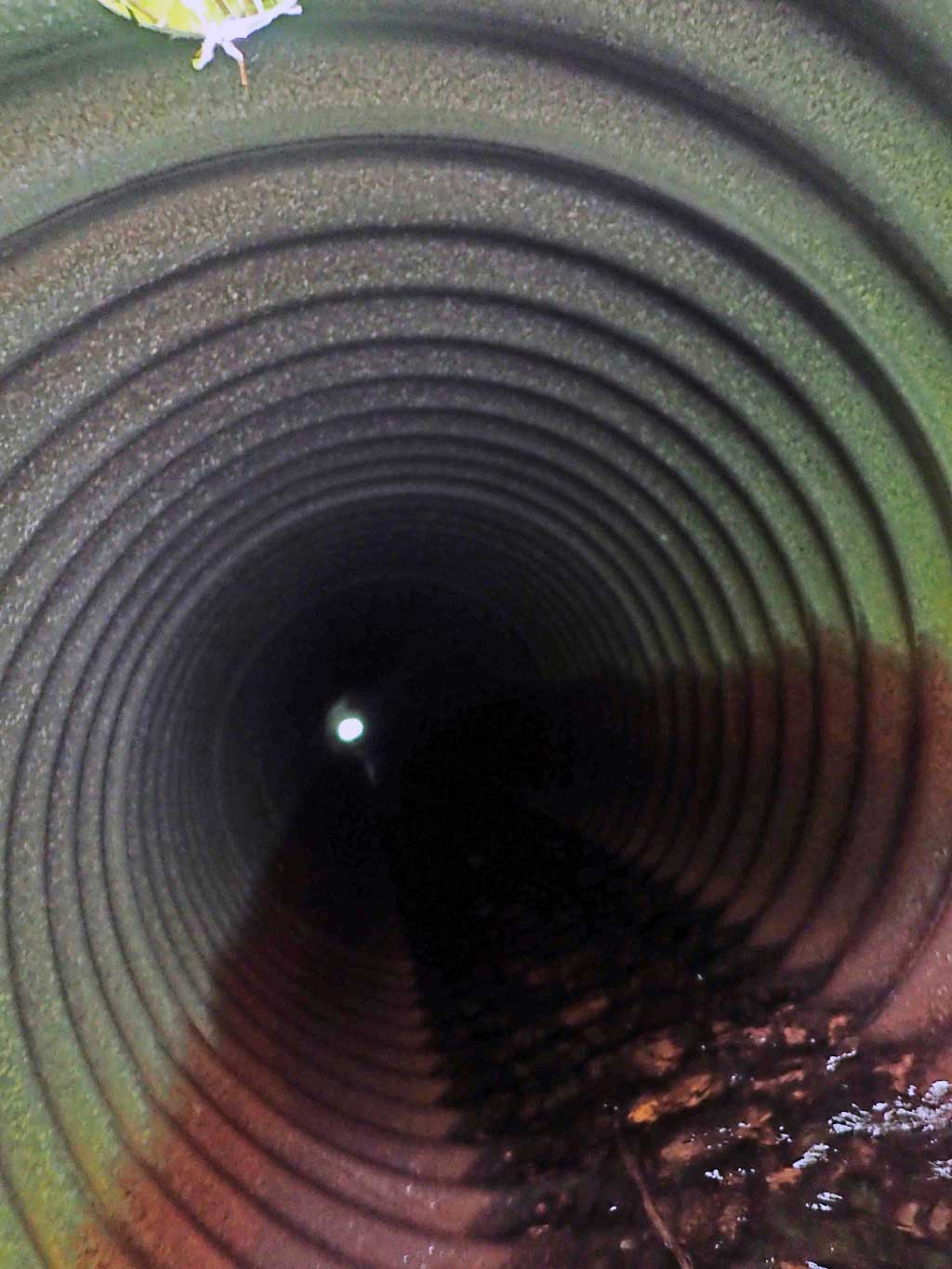
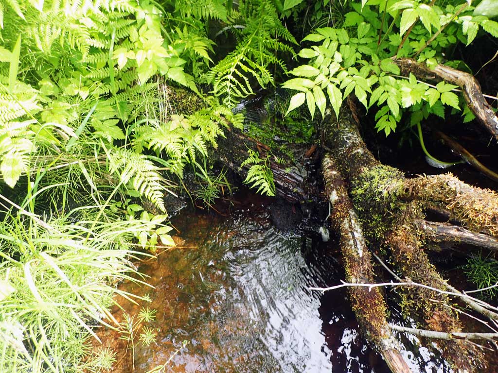
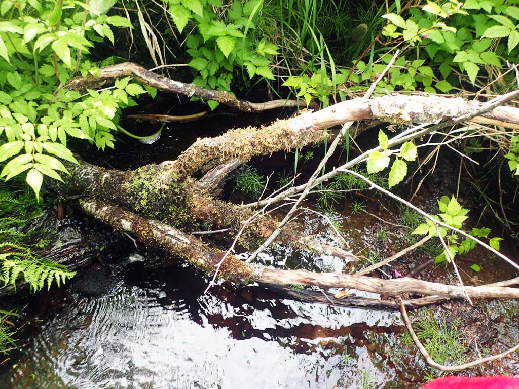
Comments: Small pool just above inlet. Lots of old logging slash covers first 100ft of stream upstream, some 3ft diameter logs. Some large woody debris steps, fairly low gradient. Slash is covered in moss and forest debris. Shallow, not many pools. Outfall 6ft. Lots of spruce downstream. Too brushy for gradient survey.
Culvert Measurements
| ID: 1 | Structure Type: Circular pipe (Corrugated steel) | Fish Passage Rating: | |||||||||||||||||||||||||||||||||||||||||
|
|
|
|||||||||||||||||||||||||||||||||||||||||
Comments: Pipe pretty rusty. First resting at inlet. Top of culvert length 100'. |
|||||||||||||||||||||||||||||||||||||||||||
Culvert Observations:
|
|||||||||||||||||||||||||||||||||||||||||||
Stream Measurements
|
|
| Stream Width Type | Distance From Crossing (ft) |
Stream Width (ft) |
|---|---|---|
| Upstream ordinary high water | 100.0 | 3.50 |
| Upstream ordinary high water | 120.0 | 3.50 |
| Upstream ordinary high water | 140.0 | 3.00 |
Elevations
| Locator ID | Culvert Number |
River Distance (ft)1 |
Distance From Crossing (ft)2 |
Relative Elevation (ft) |
|---|---|---|---|---|
| Road Elev | 116.80 | |||
| D/S Grade Ctrl (Thalweg) | 0.00 | 90.77 | ||
| D/S Water Surface Elev | 0.00 | 91.13 | ||
| D/S Tailcrest or 1st Thalweg | 16.00 | 91.89 | ||
| D/S Water Surface Elev | 16.00 | 92.12 | ||
| D/S Water Surface Elev | 25.00 | 91.91 | ||
| Max Pool Depth | 25.00 | 90.00 | ||
| Outlet Invert (on pipe) | 34.00 | 97.84 | ||
| D/S Water Surface Elev | 34.00 | 97.99 | ||
| Outlet Culvert Top | 36.00 | 100.00 | ||
| Inlet Culvert Top | 136.00 | 103.05 | ||
| Inlet Culvert Invert (on pipe) | 140.00 | 101.15 | ||
| U/S Water Surface Elev | 140.00 | 101.19 | ||
| D/S Water Surface Elev | 144.00 | 101.26 | ||
| U/S Grade Ctrl (Thalweg) (pool) | 144.00 | 100.75 | ||
| U/S Grade Ctrl (Thalweg) | 156.00 | 102.53 | ||
| U/S Water Surface Elev | 156.00 | 102.67 | ||
| U/S Water Surface Elev | 164.00 | 102.87 | ||
| U/S Grade Ctrl (Thalweg) | 164.00 | 102.50 |
Notes:
- River distance is measured continuously throughout the survey reach along the thalweg of the stream.
- Measured from each end of the crossing along the thalweg of the stream.
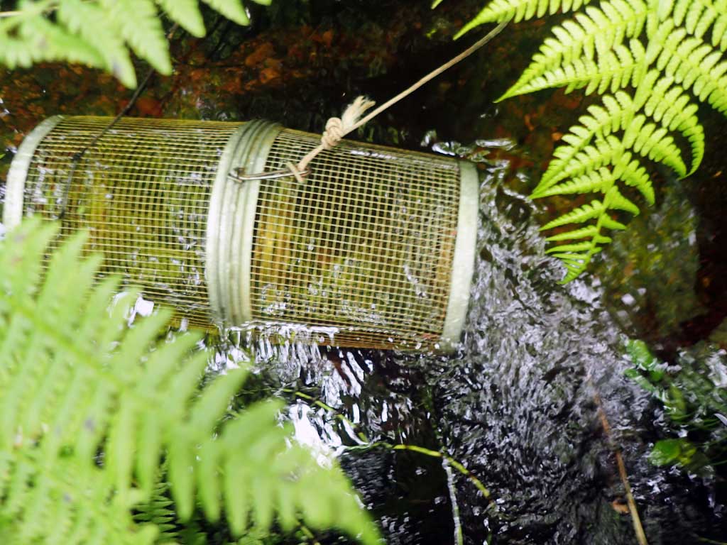
Fish Sampling Efforts
| Gear Type: Minnow Trap (A) | Trap Duration(h): 1.5 | |
| Comments: 20ft upstream, no fish | ||
| Gear Type: Minnow Trap (B) | Trap Duration(h): 1.5 | |
| Comments: 20ft downstream, no fish | ||
Fish Observations
No fish observations occurred during this survey.
Photos

Questions or comments about this report can be directed to dfg.dsf.webmaster@alaska.gov